Saturday, July 2, 2022
While staying at the Drake Peak Lookout we hiked the Crooked Creek section of the Fremont National Recreation Trail. Well, we tried to.
We returned to the South Fork Crooked Creek Trailhead from yesterday’s hike up Twelvemile Peak, this time heading in the opposite direction. This section of the Fremont National Recreation Trail heads downstream along Crooked Creek and comes out at the Mill Trailhead on Road 012, accessed off of Highway 395. Quick note: at the time of our hike AllTrails reported: “This trail is on private property. Please head somewhere else unless you’ve been invited by the owners.” I reported this error to AllTrails and it has since been fixed, but be aware that the ENTIRE trail is on public land inside the Fremont-Winema National Forest.
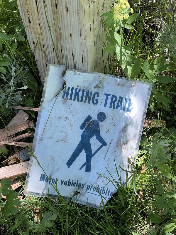
We passed the signpost with a fallen-down hiker sign, and headed into the trees:


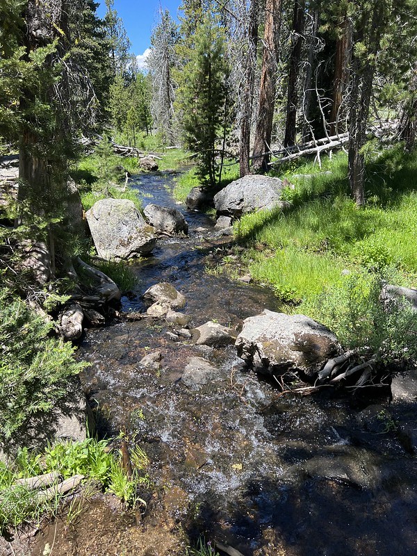
We soon crossed the creek:


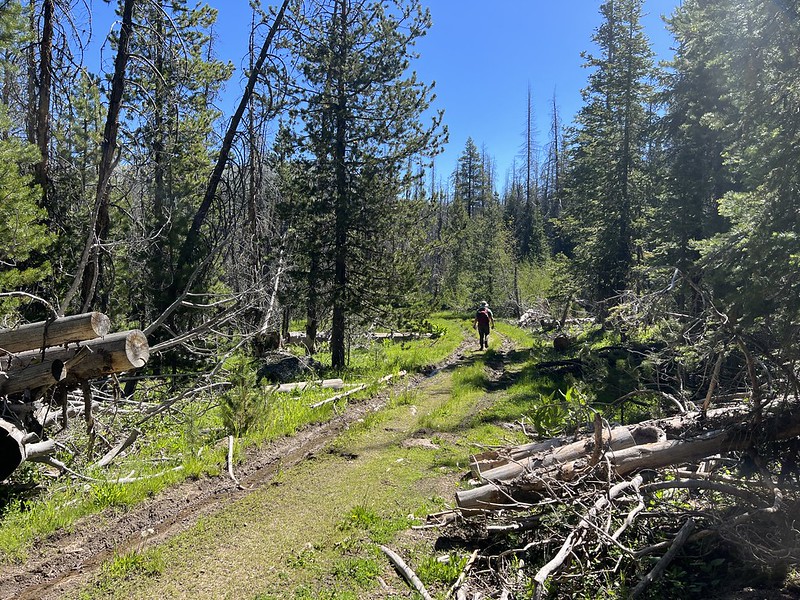
Then we started encountering blowdown:

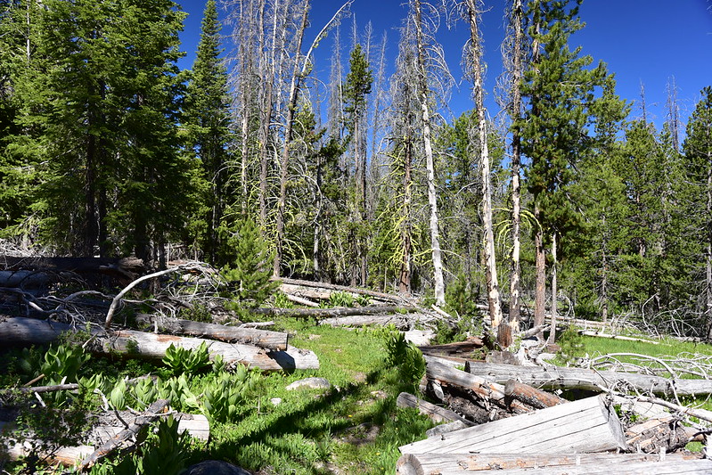
There were A LOT of dead trees along this trail. There was evidence of many past fallen trees that had been cut to clear the trail in previous years:

More blowdown:

There was a huge area of fallen trees that required a detour to go around. Pictures, of course, don’t capture the situation:

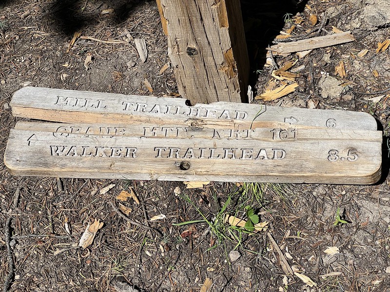
We crossed the Crane Mountain Trail, which was nothing more than an old road. There was even a signpost, although it was on the ground, broken:
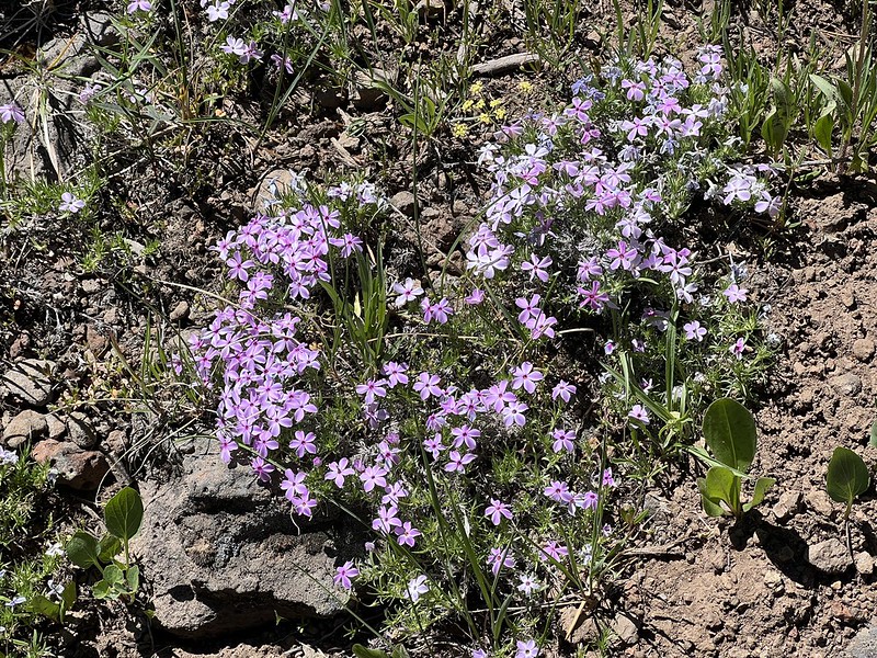
Greg walked down it a few hundred feet to check out wildflowers:
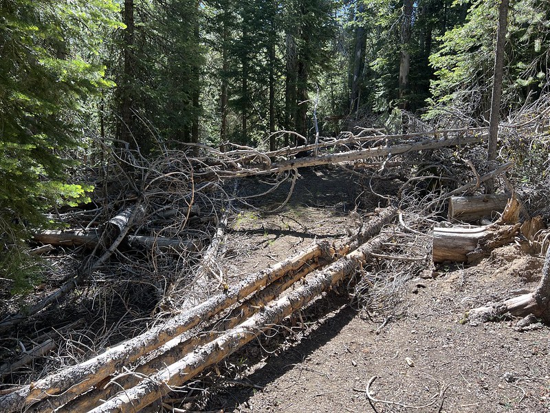
We continued on, continuing to encounter a lot of blowdown. This one was the last straw:

We decided it wasn’t worth continuing. This wasn’t a fun hike and we would have to clamber back over all these trees on the way back. Before heading back we spotted a meadow off the trail and headed through the trees to check it out, passing some clumps of phlox along the way:
Well dang if this meadow wasn’t a charming spot! Crooked Creek gurgled merrily down the middle of it, there were some wildflowers in bloom, butterflies flitted about it, and there was no one around. We sat in the shade of a tree and just enjoyed the ambience for awhile. This meadow wasn’t named on the map, so we called it Crooked Creek Meadow:


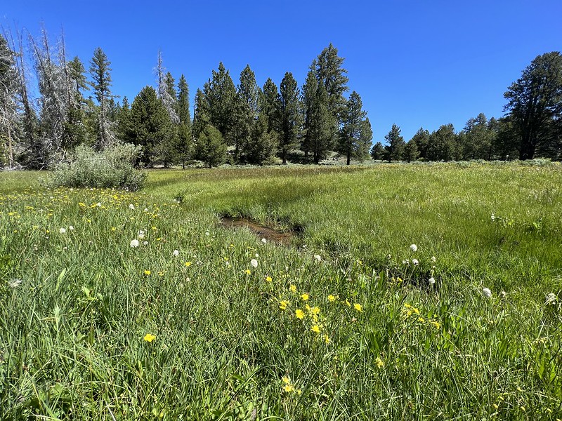

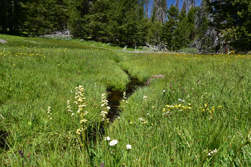

We knew this was grazing land, and indeed we saw plenty of old cow poop. It was sad to think of this meadow getting trampled by cows:

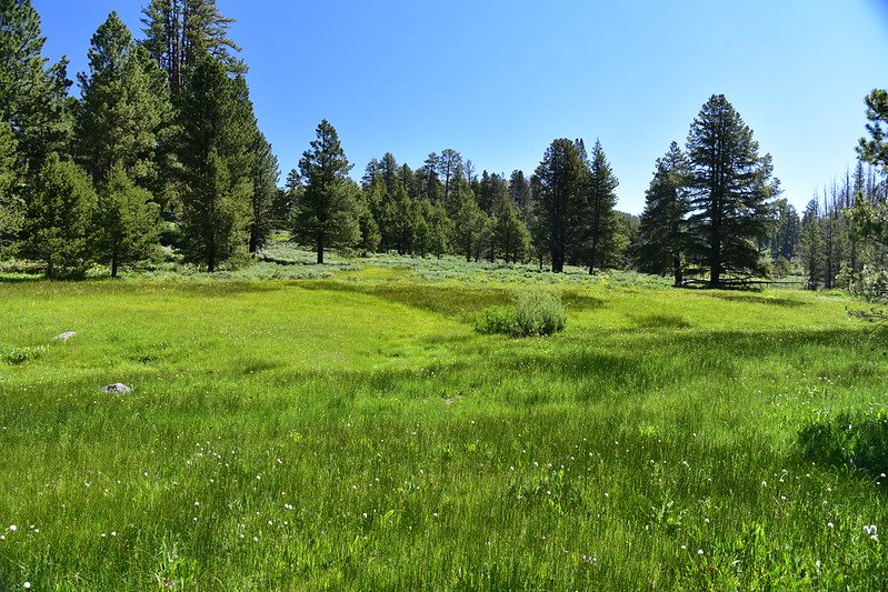
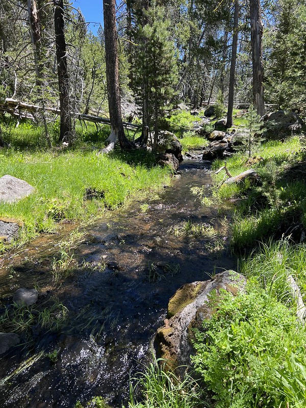
I walked downstream a short distance where the creek exited the meadow and re-entered the forest:
After a long relaxing rest here we packed up and headed back through the obstacle course to the car. We passed a woman and a boy with overnight packs heading downstream along the trail and we warned them that the blowdown didn’t get better. They had been dropped off at the upper trailhead and were hiking down to the Mill Trailhead where their vehicle was parked, so they didn’t have much choice except to keep going. We wished them well and continued back to our car.
Even though this hike didn’t go at all as we planned, it still turned out pretty well. We never would have checked out that off-trail meadow if the trees weren’t blocking our path, and it’s hard to imagine that anything further down the trail would have been as charming as that meadow.
Gaia stats: 2.8 miles, 170′ elevation gain (on the way back)


