Sunday, May 26, 2019
Today was forecast to be the cloudiest weather day of our long weekend, so rather than hike we drove the T.J. Howell Botanical Drive which encompasses about 7.5 miles of Eight Dollar Road / Road 4201. The Forest Service has a brochure and a plant list on their website. This description from the Forest Service site best sums up the area:
Approximately 7.5 miles of the Eight Dollar Road is designated as The TJ Howell Botanical Drive. The drive passes predominately through the Josephine Ophiolite, a large chunk of upper mantle and oceanic crust that has been shoved up above sea level, exposing ultramafic serpentine and its parent rock, peridotite. Part of the Klamath-Siskiyou Mountains, this location is one of the largest serpentine areas in North America.
Only plant species that can tolerate extreme conditions grow here. Thin soils, heavy metals (magnesium, nickel, chromium, iron), and nutrient stress (low amounts of calcium and nitrogen) make these serpentine soils inhospitable. Many unusual, rare, or endemic species have evolved under these conditions, while other plants have special adaptations for survival, or exist in stunted form.
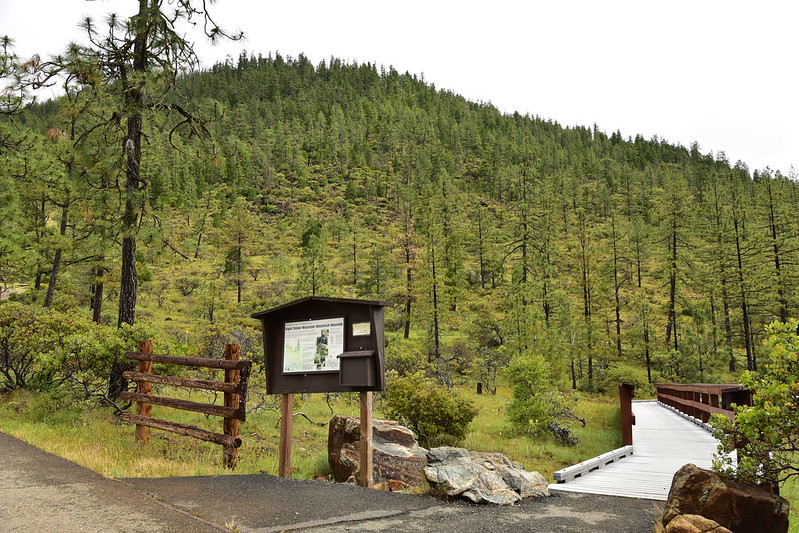
We drove Highway 199 out of Grants Pass. Our first stop was the Eight Dollar Mountain boardwalk:

The end of the boardwalk is missing its sign:
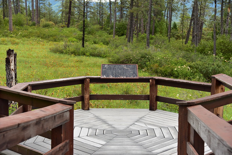
It overlooks a darlingtonia fen:

Darlingtonia californica is also known as the California pitcher plant, cobra lily, or cobra plant. It is carnivorous, trapping insects and absorbing their nutrients.
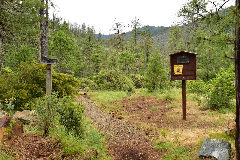
Next up was the Little Falls Loop:

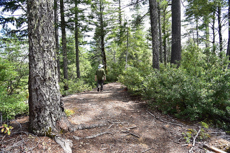
This was Greg’s typical pose all day, identifying wildflowers:

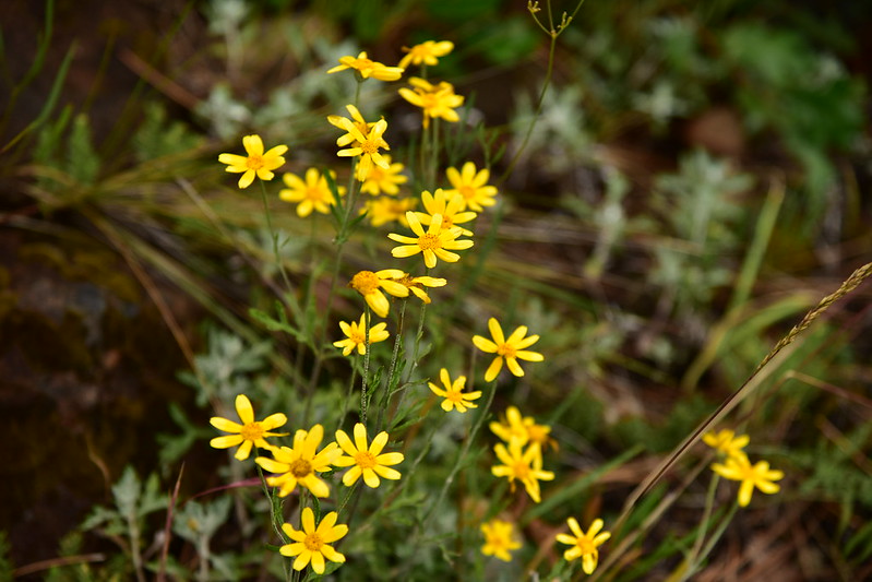
We saw some wildflowers on this loop:

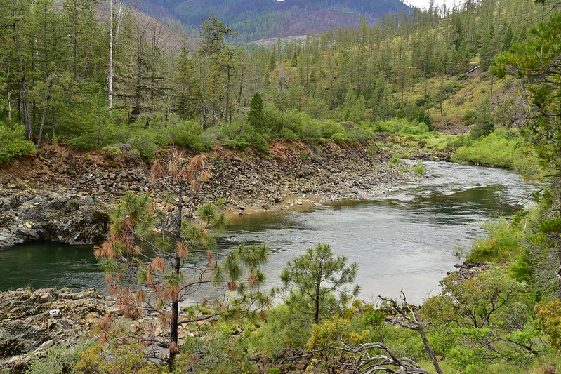
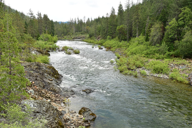
The trail took us down to the Illinois River:


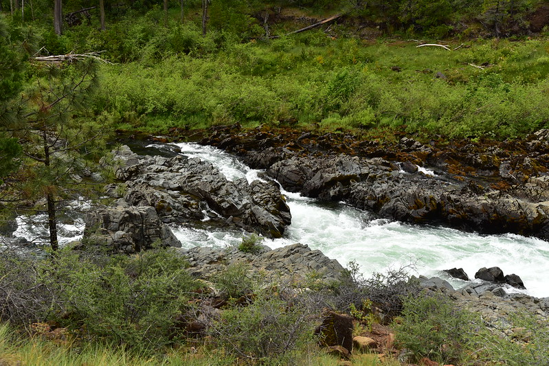
This is Little Illinois River Falls, otherwise known as Little Falls. It’s not so much a waterfall as a narrow chute where the water runs fast:
This is what the river looks like upstream from there:
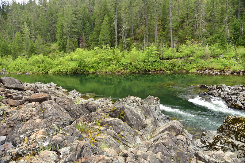
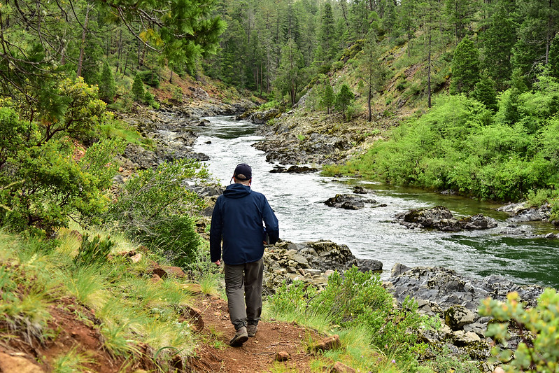
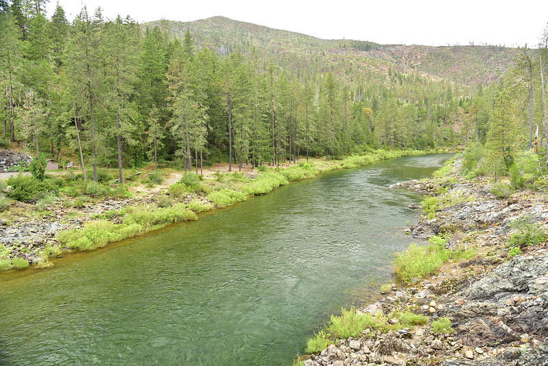
Then we continued upstream:
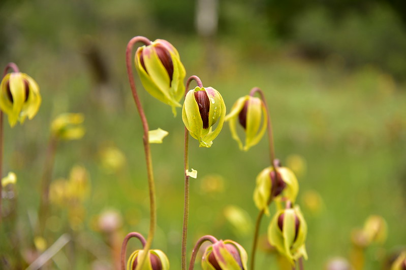
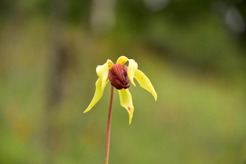
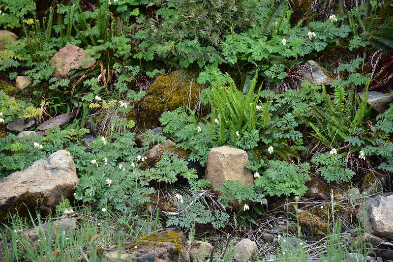
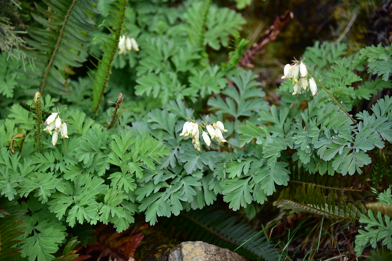
Back at the car we continued down the road to a pull-out across from where Josephine Creek flows into the river. That wasn’t so interesting, but across the road was a nice little fen with Darlingtonia. Dang, they are weird-looking plants!:


This is what their flowers look like:
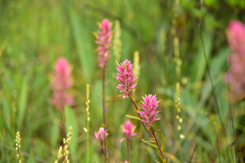
In this spot we also saw some very pretty Siskiyou Indian Paintbrush:

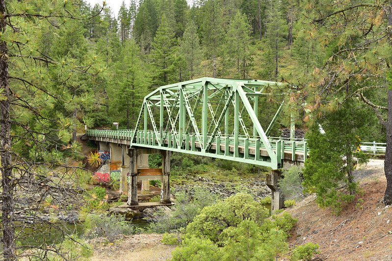
Our next stop was the bridge over the river, which unfortunately has been the victim of a lot of graffiti. We got out to look around and admire the river:
Our next stop was the Days Gulch Botanical Area. You have to know it’s here as there are no signs. Someone had trashed the parking area with a trash-filled campfire:


We spotted what look like maybe a hunter’s camp in the trees:

This area is the location of a long-term study of the Howell’s mariposa lily, although we didn’t see any. We did see other flowers though:


They have fenced this area off in order to keep out OHVs:
Out next stop along the road was to visit this huge Darlingtonia fen:


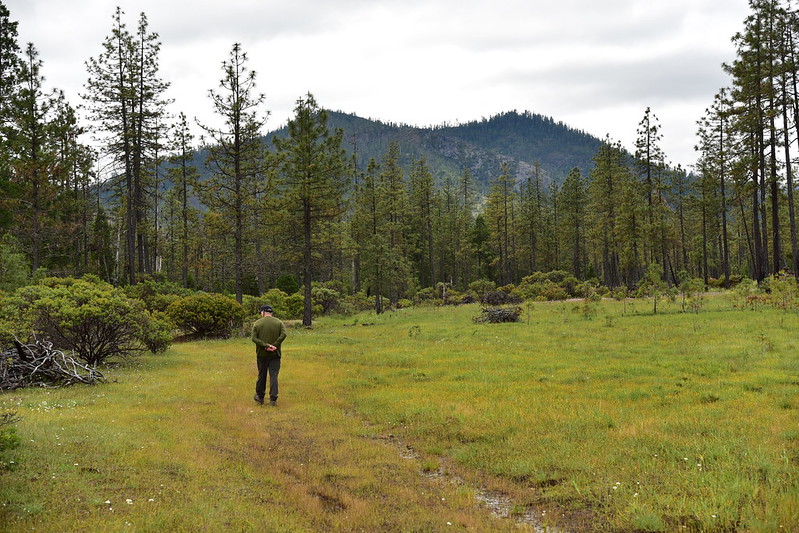
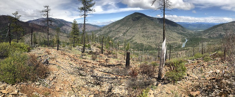
Further along we stopped to find a geocache and we were treated to a nice viewpoint:
There’s the bridge we stopped at earlier:

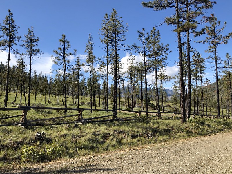
We could see the scars from last year’s Klondike Fire:

The brochure mentioned white bleeding heart at milepost 6 and sure enough we saw some along the road:
Although the road keeps going, the Botanical Drive officially ends after 7.4 miles where there is a gravel parking area with a picnic table and an old broken sign.

We decided to park here and try to find a nearby geocache, which had parking coordinates here. We headed for the trees across the road:

And followed this old road:

We saw this cool California ground-cone (Boschniakia strobilacea):

We left the old road where this old wooden sign indicated a trail:

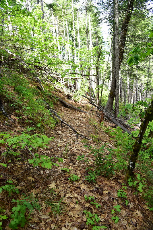
The trail was clearly disused, but still easy to follow. Unfortunately there was some poison oak:

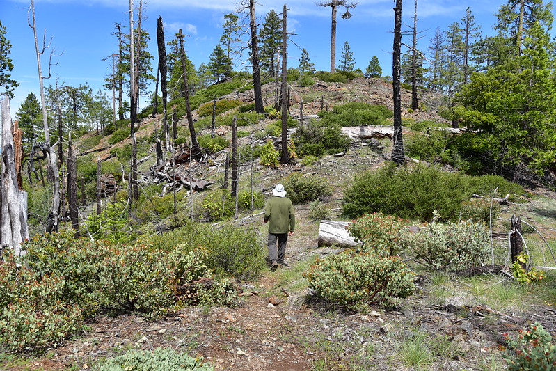
And then we emerged from the trees and climbed up this knoll:

And at the top we discovered two random picnic tables!
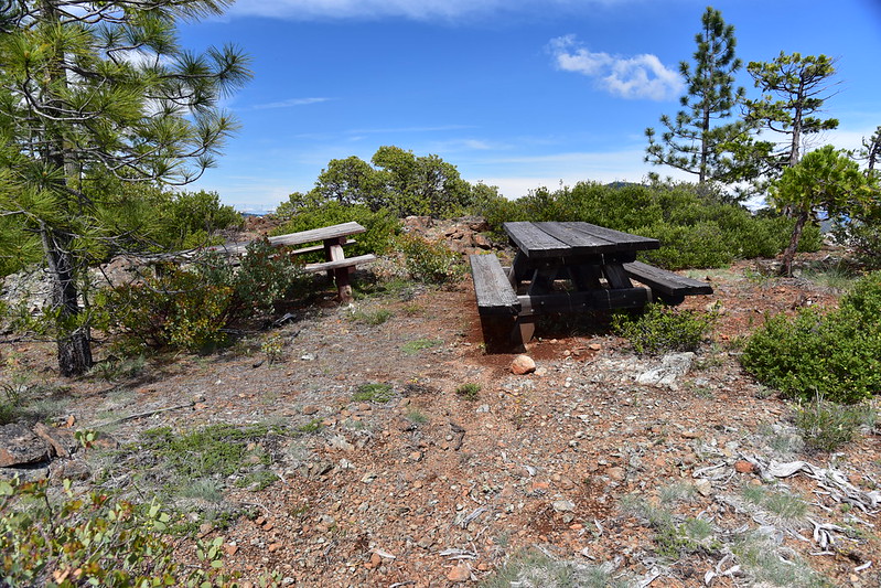
When we got home I checked old maps and could not find this viewpoint or trail marked on any of them. Can’t help but wonder what the story is. Anyway, the view from up there was pretty good:


For the return route we wanted to avoid the poison oak on the abandoned trail, so Greg decided we would drop down to the saddle below the knoll:

And then drop down this steep slope to the road below:

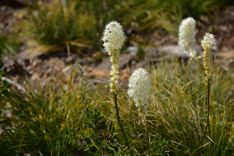
Beargrass:
We road-hiked back to the car and enjoyed the view there for awhile before driving back to Grants Pass:

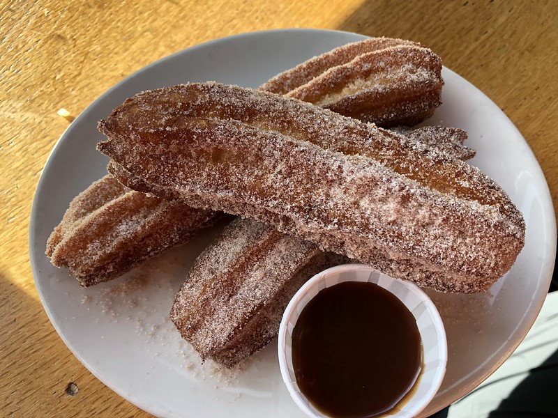
We went back to The Haul for dinner and enjoyed their fabulous churros:
Great day!


