Saturday, July 7, 2018
This morning I attempted to make omelettes for breakfast before. They tasted ok, but I had trouble getting them to cook evenly, which I think was due to the fact that the stove was a teeny tiny bit off-level:

We drove up to the Skimmerhorn Trailhead on good gravel roads. A curious side note: In Art Bernstein’s 76 Day-Hikes Within 100 Miles of the Rogue Valley (1987), he says this: “The Skimmerhorn trailhead is the most elaborate I’ve seen, with parking for at least 50 cars, a picnic ground and pit toilets.” It’s not THAT big, and I saw no toilets. I wonder if he’s talking about a larger area next to the road a short distance before reaching the trailhead. It looked like a dispersed camping site and was pretty grassy, indicating it wasn’t used as much.
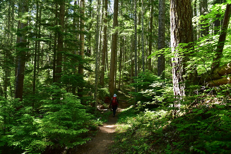
We headed up the Lakes Trail:
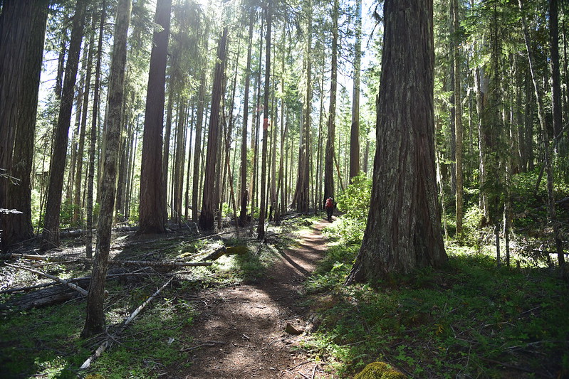
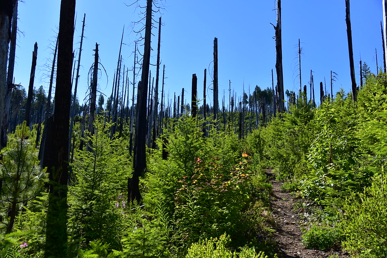
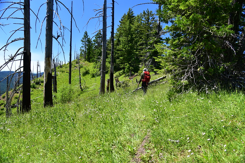
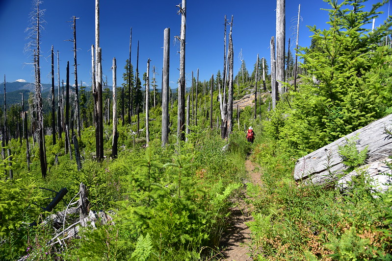
After 0.6 miles in the forest we entered a burn. This is from the same 2002 Tiller Complex Fire that burned the Beaver Swamp Trail we hiked yesterday, but unlike that patch of forest, this one got totally roasted. For a long half mile there’s no shade. This section is also very brushy in parts:
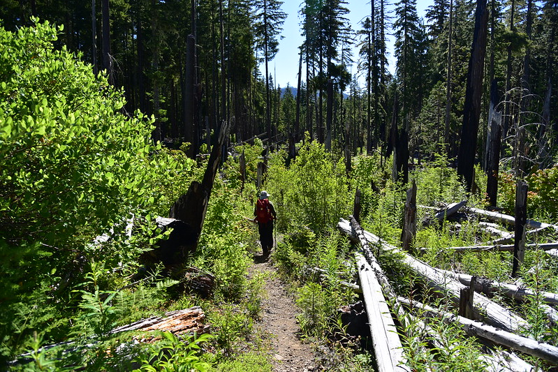
Re-entering the shady forest was a relief:
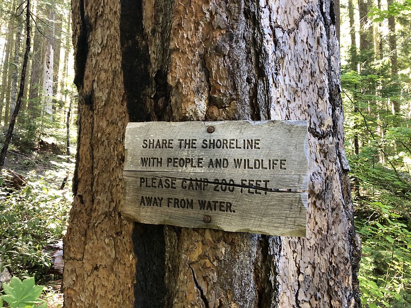
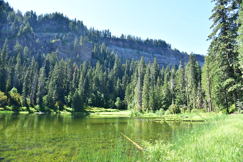
At 1.6 miles this sign was the indication that we had reached the spur trail to Buckeye Lake:
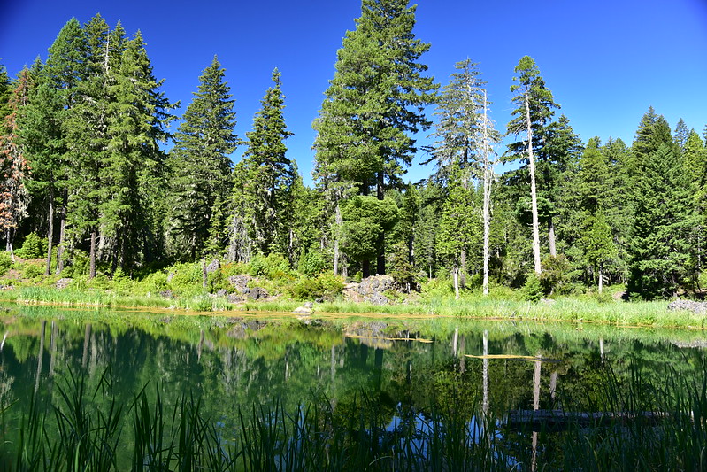
Calm and quiet:
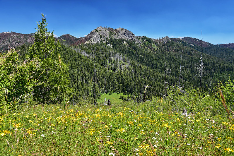
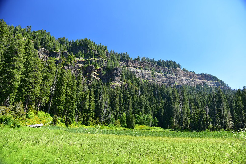
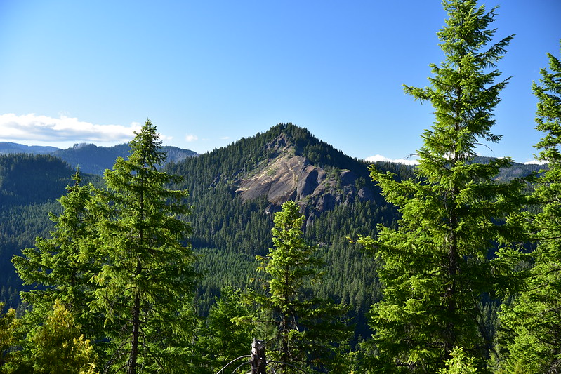
Grasshopper Mountain, our destination:
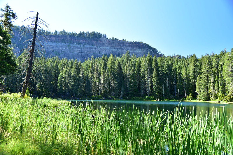
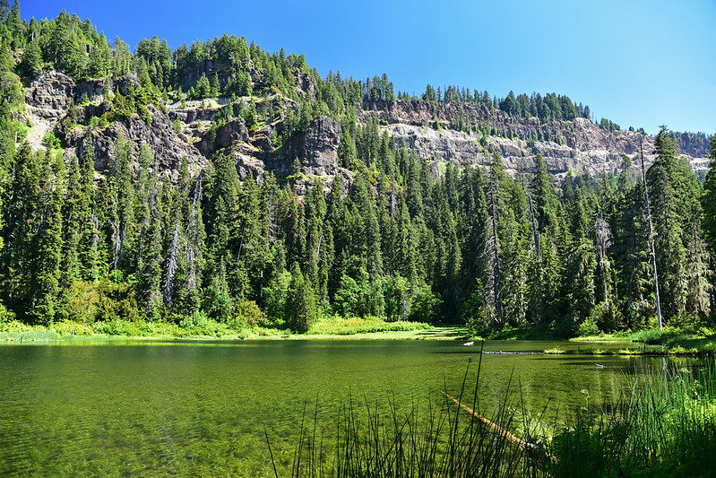
Down the trail a bit further, the next lake is Cliff Lake, right at the base of Grasshopper Mountain (the spur trail is unsigned but obvious):
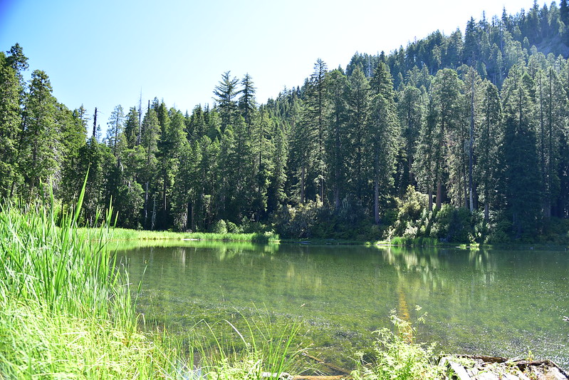
We met an elderly gentleman here who was backpacking. He planned to day hike over to Fish Lake and said that back in the day before this was wilderness he used to work as a guard at the Fish Lake Guard Station, which is long-gone.
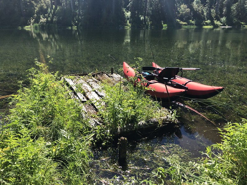
At Cliff Lake there is a very old decrepit dock or raft or something:
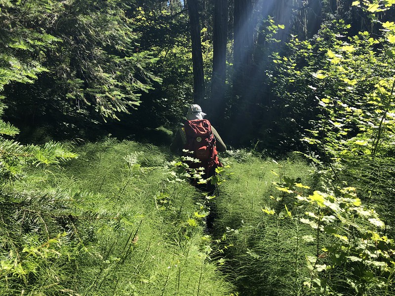
More brushy trail after Cliff Lake:
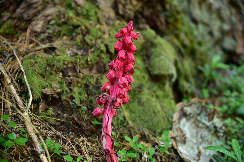
At 2.7 miles we reached a junction and turned right on the Grasshopper Trail (the trail to the left goes to Fish Lake). We saw this vivid Snow Plant (Sarcodes sanguinea):
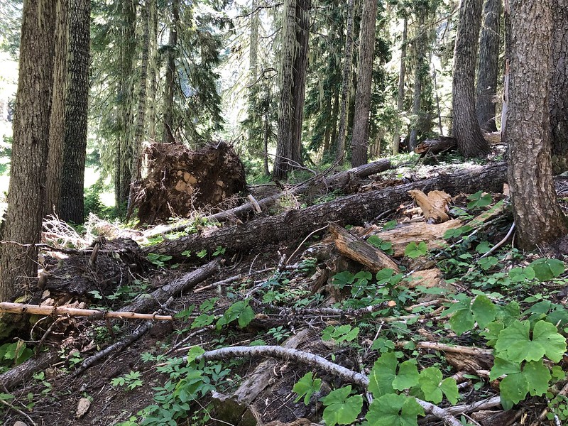
It was obvious that this trail didn’t see a lot of use, but the tread was good and it was in pretty decent shape for a wilderness trail. There were a few spots with downed trees, but it could have been worse:
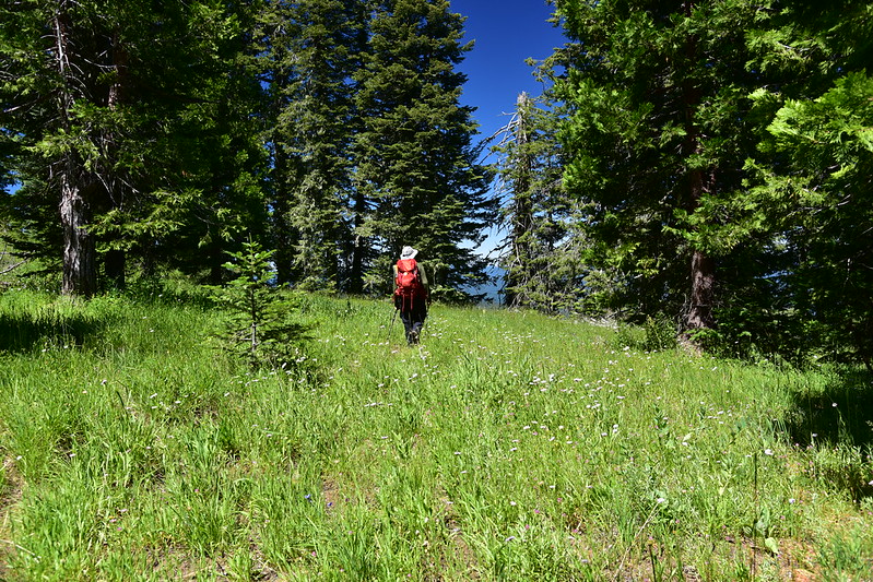
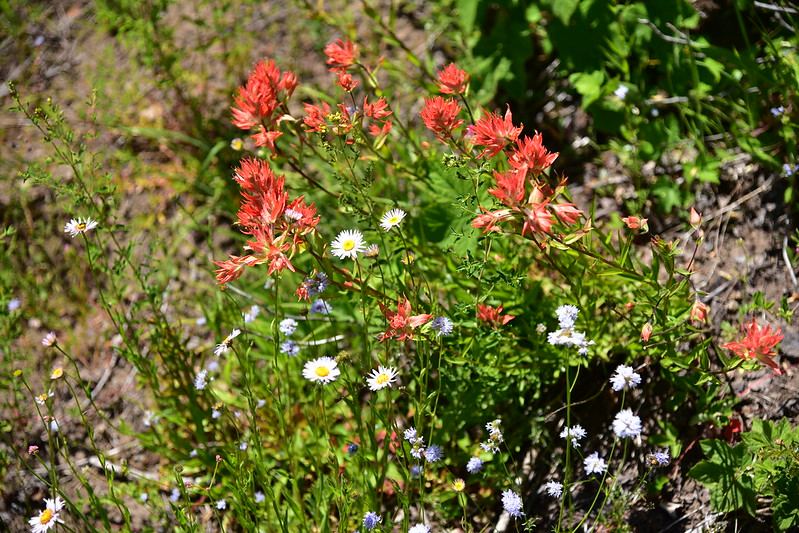
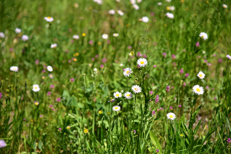
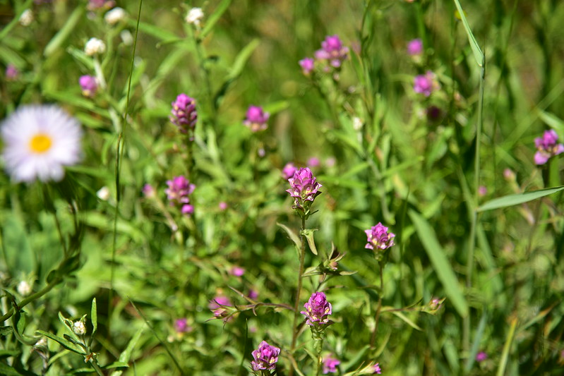
Finally after 3.75 miles we reached another junction and turned right on the Grasshopper Mountain Trail, which started out in the trees and then started passing through some nice meadows:

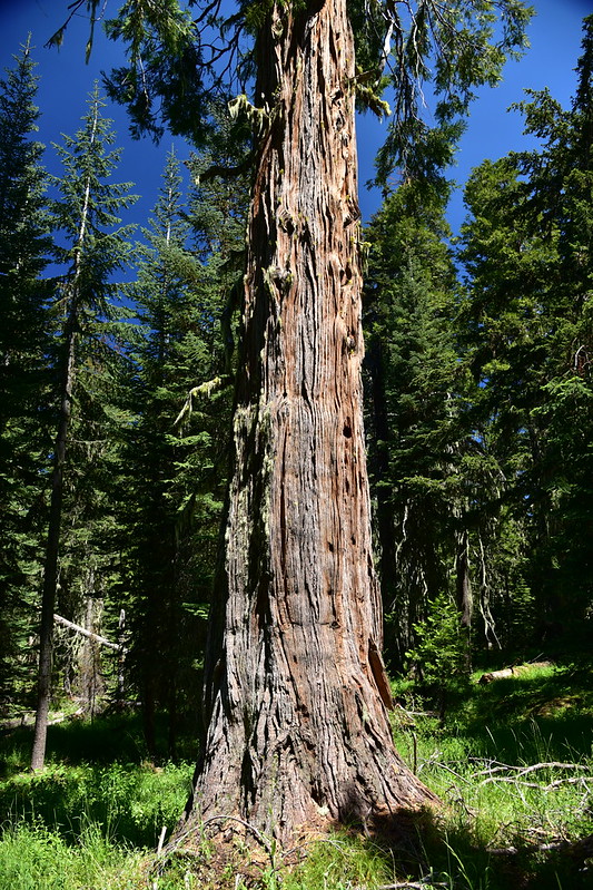
Incense cedar:
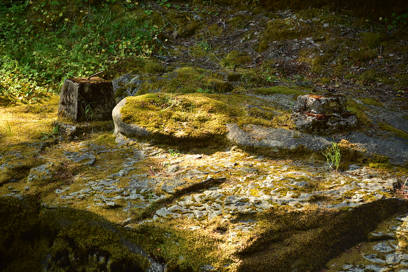
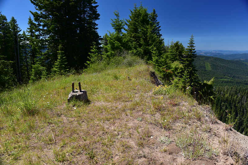
4.5 miles from the trailhead we reached the top, where four concrete footings remain from the fire lookout days:
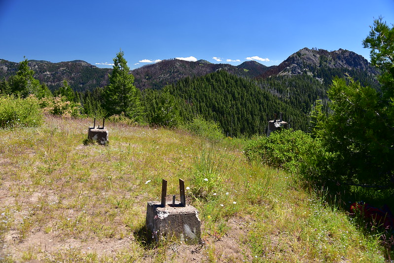
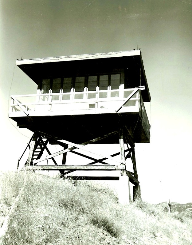
A D6 cupola lookout was built here in 1925, followed by an L4 tower in 1933, built by the CCC:
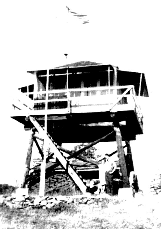
In 1958 the Forest Service used a helicopter to deliver 3,800 pounds of building material to build a new lookout up here:
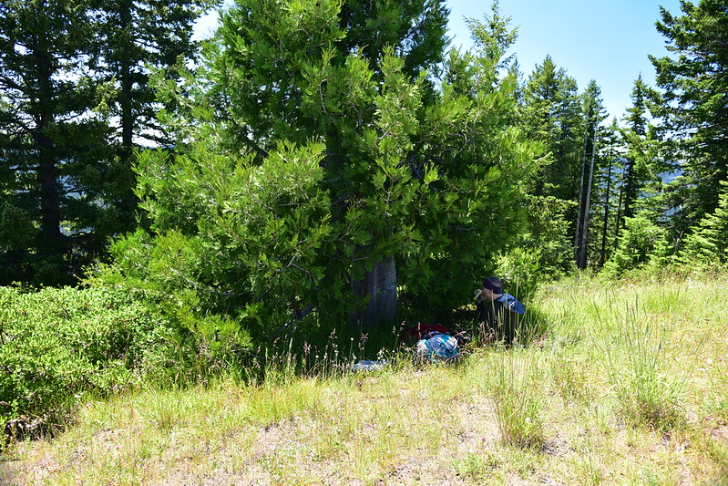
The lookout was removed in 1977 and in the intervening years a cedar tree has grown up tall next to one of the footings, hiding it from view. We utilized the shade of that cedar on this very warm day:
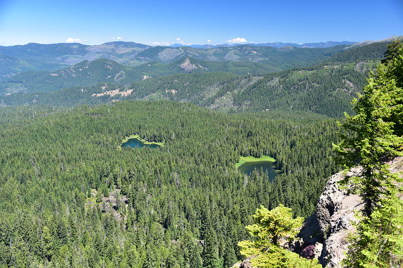
Below us we could see Buckeye Lake and Cliff Lake:
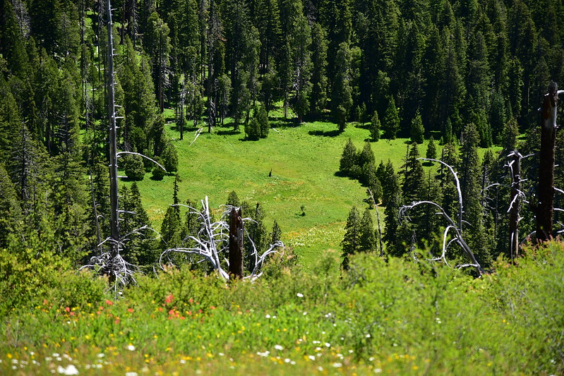
On the other side far below us was Grasshopper Meadow (if we had stayed on the Grasshopper Trail and not taken the spur trail to the summit, we would have passed through that meadow):
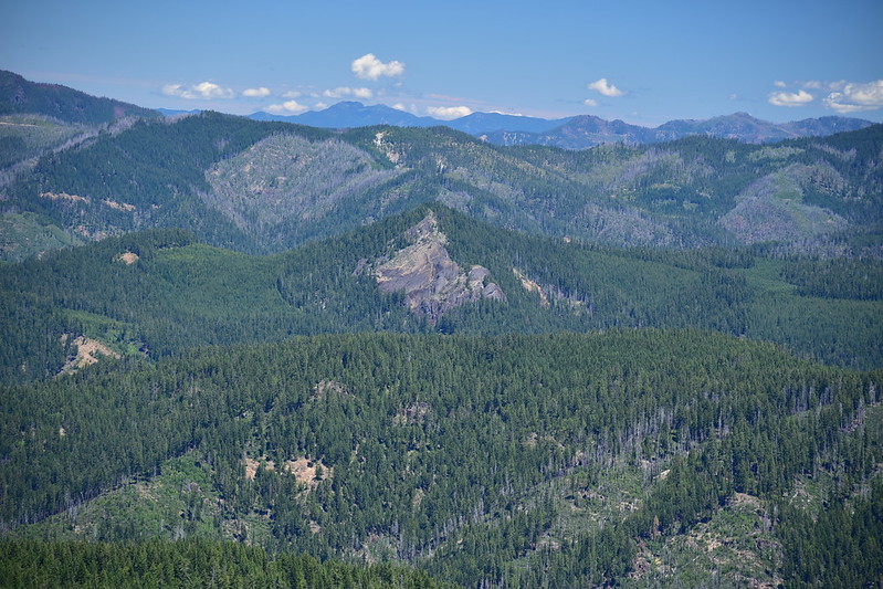
Little Black Rock at center of photo (with exposed rock on its slope):
Highrock Mountain, which we saw part of from Fish Lake the day before:
We marveled at the clear blue skies all around us after experiencing such hazy smoky weather on Wagner Butte two days ago:
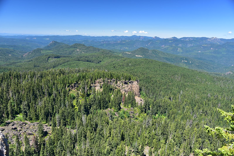
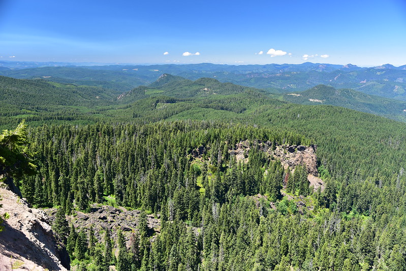
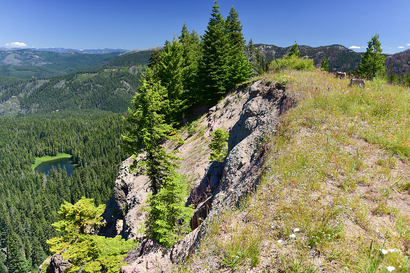
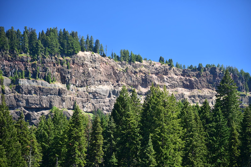
This mountain has some interesting geologic history. About 1,000 years ago half of Grasshopper Mountain fell away in a huge landslide with debris spreading out over four square miles. You can see in these photos how the mountain just drops away abruptly and is still slowly eroding today (I bet that several decades ago the cliff edge was at least 10 feet further out than it is now):
There is an option to make a loop on the way back, passing Grasshopper Meadow and Little Fish Lake, but the gentleman at Cliff Lake said that route had a lot of blowdown so we just returned the same way we came up. On the way back we stopped at Cliff Lake again to get photos in better light. We had been way over at the far right up there:
And we stopped at Buckeye Lake again too. It doesn’t look like the high point from down here, but we were over in the area of open trees at far right:

Back through the burn. So hot.
We went home the next day. I had wanted to do the short Little Black Rock hike (less than a mile one way), but we didn’t break camp until 10am and we had a three-hour detour ahead of to visit Marys Peak near Corvallis so Greg could see the wildflowers. Here is Little Black Rock as seem from the road up to Skimmerhorn Trailhead. Hopefully we can visit this one another time!
On Sunday before we left I wandered down the short Camp Comfort trail by our campground. It ends at a spot where the Black Rock Fork (left) and Castle Fork (right) join and it’s the start of the South Umpqua River.
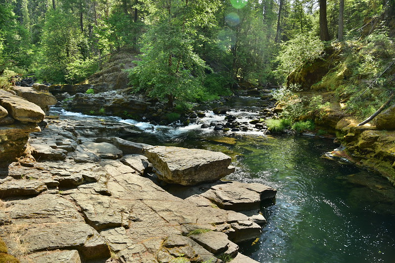
Nice spot for hanging out on a warm day. I also noticed what looked like bridge supports on the other side. They look like they would have been associated with something small like a footbridge. But there’s no trail over there and I didn’t find similar supports on the near side of the river. I wonder what the story is!