April 29, 2018
This morning I went for a short walk around the Crater Lake Resort where our cabin is. The sun was trying to come out and I hoped that we would have a less rainy day than yesterday.
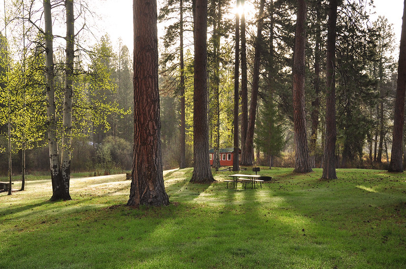
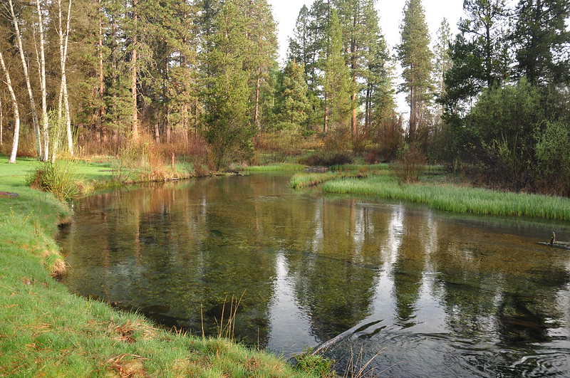
Fort Creek runs through the property and it was very pleasant on this chilly morning.
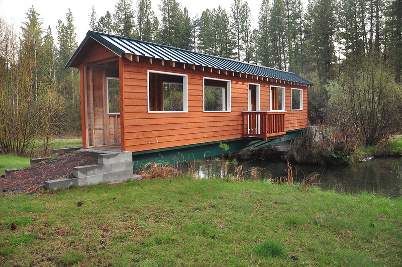
They’ve built a little covered bridge over it:
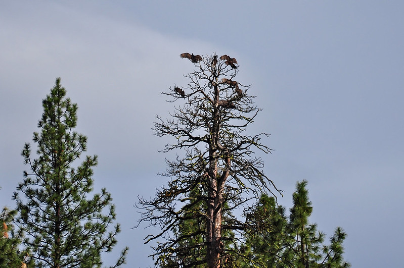
After breakfast we headed out. On our way south on Highway 62 we saw these turkey vultures up in a tree. When they spread their wings like this it’s known as the horaltic pose and they usually do it in the morning to increase their body temperature after the cold night.
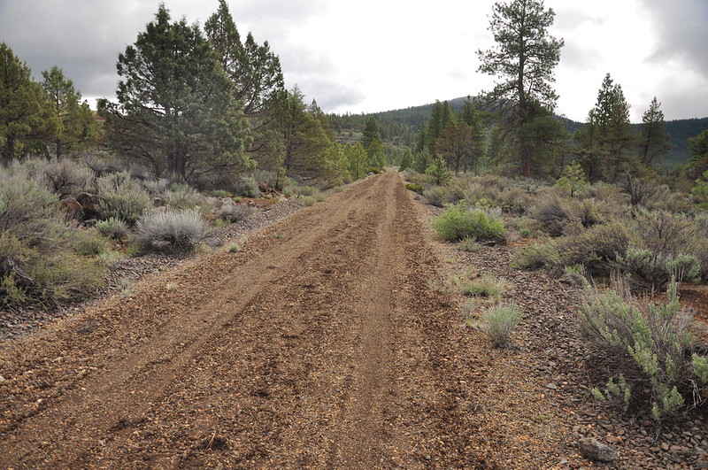
Today we would be hiking several sections of the 100-mile-long OC&E Woods Line State Trail. It follows the right-of-way of the old Oregon, California, & Eastern logging railroad and stretches from Klamath Falls east to Bly; the Woods line extension stretches north to Sycan Marsh. This brochure shows a map. Here is an excerpt from a July 20, 1992 article in the Oregonian with a bit of background:
The rail line, one of the last operating lumber railroads in the nation, was donated by the Weyerhaeuser Co. to the Oregon Parks and Recreation Department under a “rail bank” agreement. Rail banking is a relatively new way to preserve rail corridors for future transportation use. Because the OC&E line was no longer economically feasible for hauling timber, Weyerhaeuser was faced with a dilemma. Abandonment of the line and removal of $2 million worth of steel rails would allow title of the land to be claimed by adjacent land owners, unless it continued to be operated as a transportation corridor. Under the rail banking agreement, title to the right of way was transferred to state parks on July 9. The agreement allows Weyerhaeuser the option of reclaiming the title in the future, possibly in 50 or 100 years, to use the right of way as a transportation corridor again.
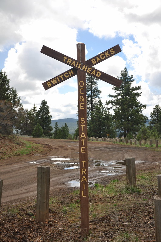
We drove to the Switchbacks Trailhead and even though it was a Sunday we were the only car here.
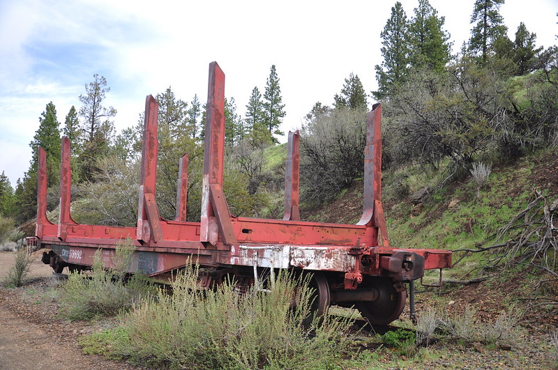
There’s an old railcar here and a nearby sign notes that when the rails were being removed in 1992 the brakes locked up on this car so the easiest solution was to leave it here:
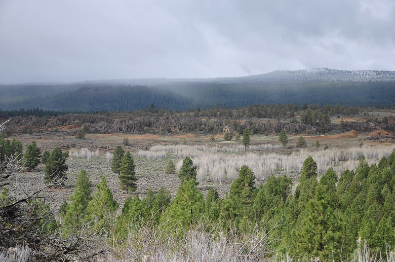
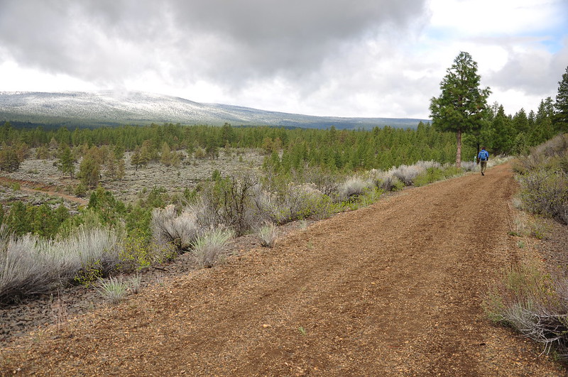
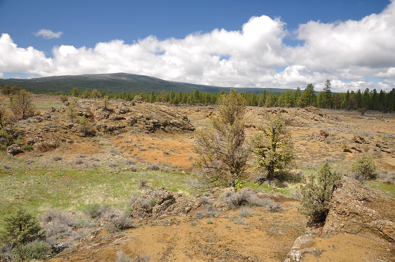
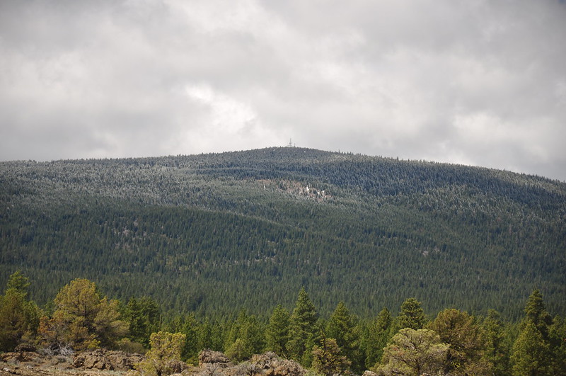
From the trailhead we could see down onto the Devil’s Garden and beyond to snowy Swan Lake Point (there was once a fire lookout up there, but it’s gone and replaced with some communication towers):
Along this section of the OC&E line, the trail has several switchbacks. As explained at the trailhead:
The remarkable east and west switchbacks of the OC&E Railway were a matter of economy. The complicated requirement of “double switching” by disconnecting and backing up portions of the train save the railroad owners the substantial expense of blasting through Bly Mountain. Engineers designed a tunnel 1,300 feet long, but the construction crews of Bruce and Nettleton, grading and laying the track in 1922-23 from Hildebrand to Sprague River, never go the go-ahead to blast the tunnel. A trace of its projected eastern portal remains. The switchbacks were a dangerous place for train crews. Uncoupling, throwing switches, backing, re-coupling, and coping with derailments tested the teamwork of the men. Sometimes they worked in the dark, or in ice and snow.
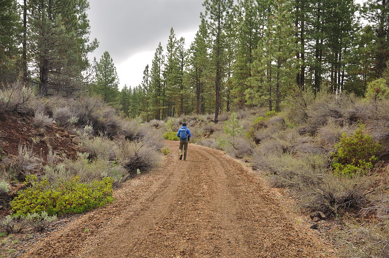
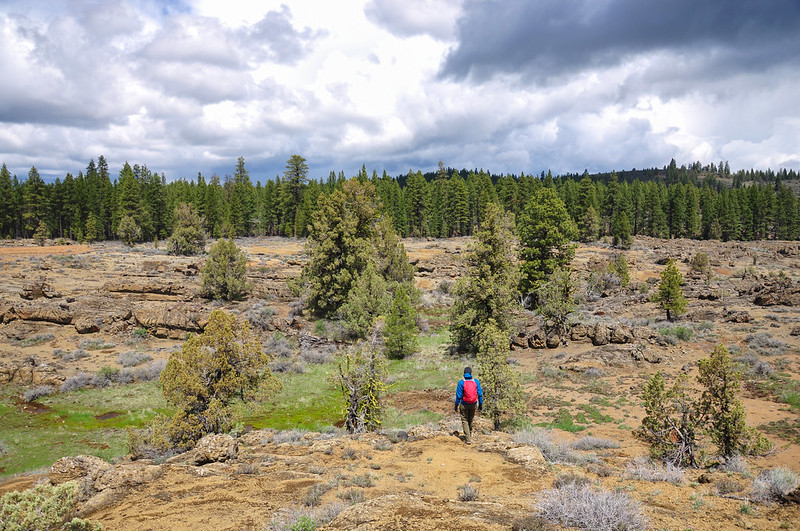
We set off down the trail under cloudy skies:
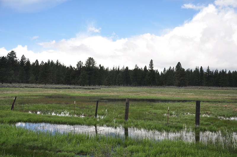
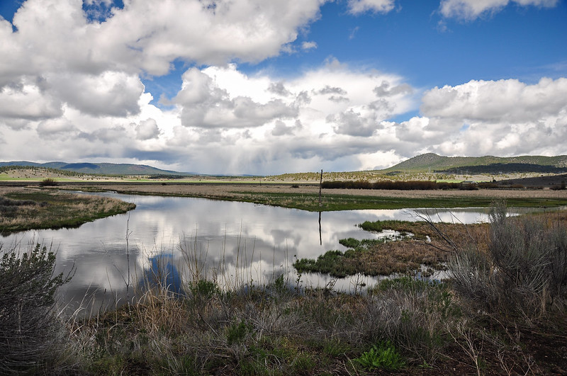
Our goal for a turnaround point was some trailside ponds 2.25 miles down the trail, and right as we got there it started to hail.
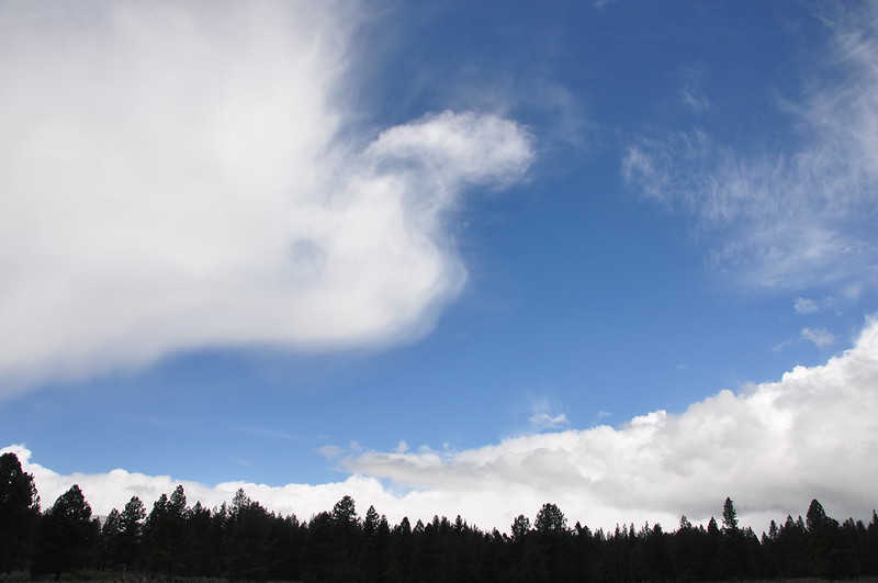
As is usually the case with spring hail storms, this one was intense but brief. Five minutes later it moved on and we could see blue sky to the west.
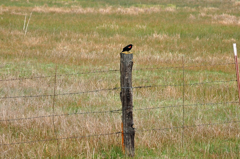
A red-winged blackbird, one of the few birds whose call I can identify:
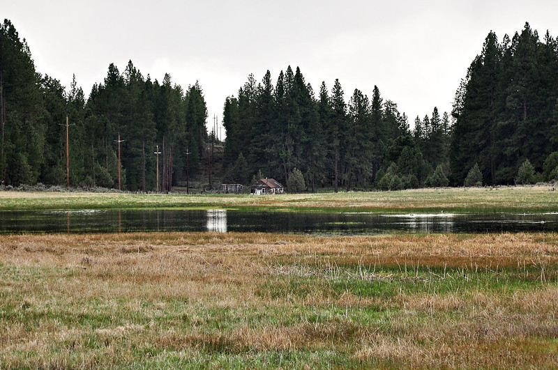
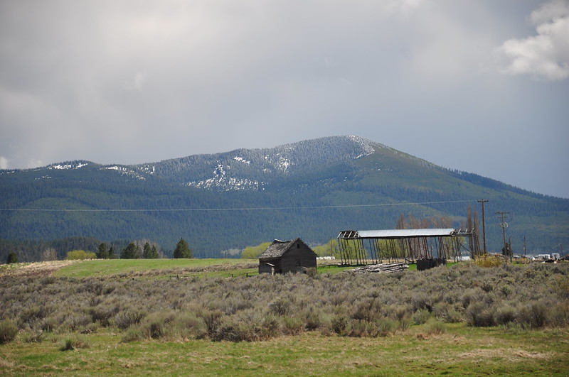
Old cabin or shed across the pond:
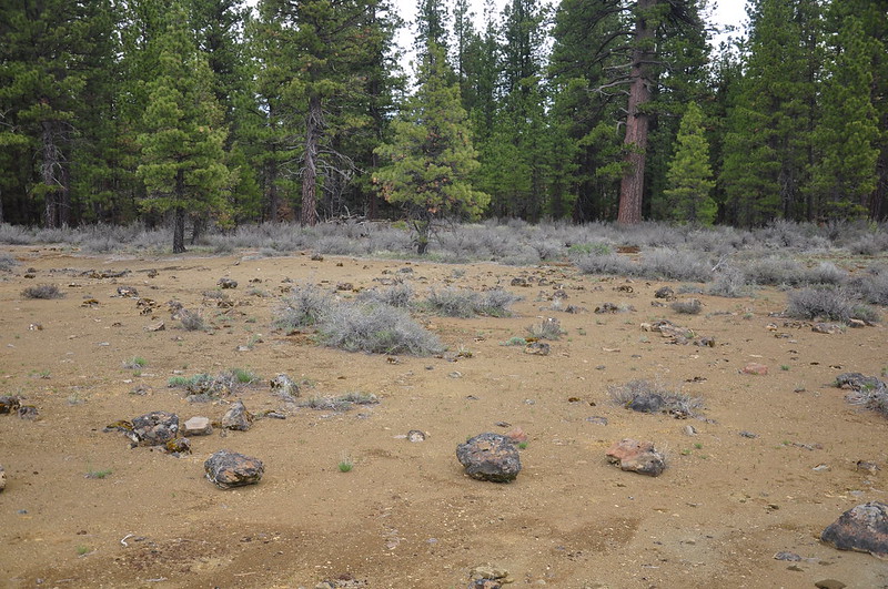
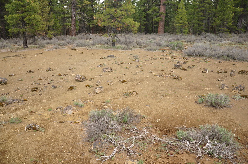
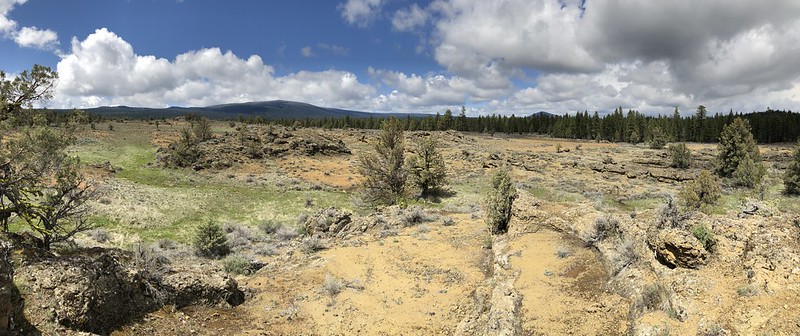
We retraced our steps back up the trail, then headed off-trail to explore Devils Garden, an area of lava rock that stands out in the satellite view of this area. Oregon Geographic Names doesn’t have any information about who named this and when, just that “the surrounding lava has given the place its name.” I imagine this place is hot and unpleasant in summer.
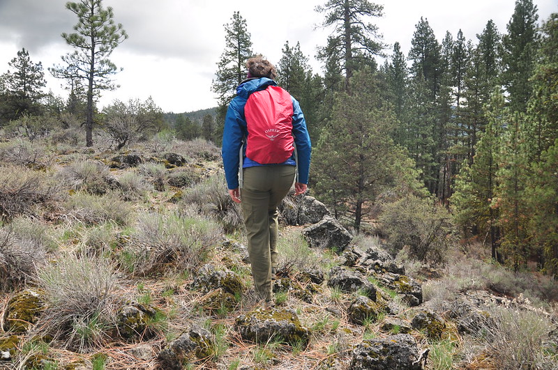
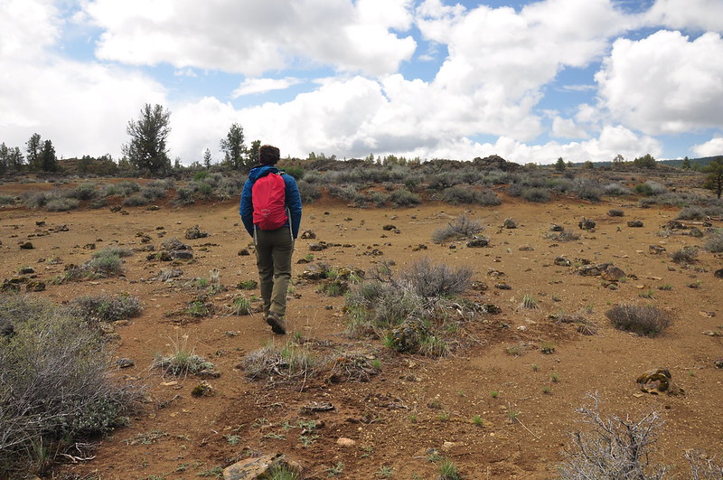
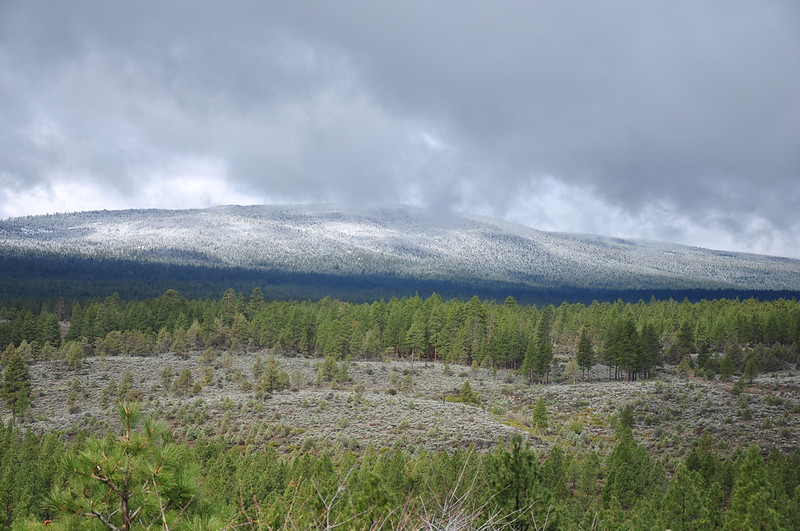
We climbed up some rocks to get a view of the area. Last night’s snowfall on Swan Lake Point had started melting.
After sitting and enjoying the sunshine we headed back:
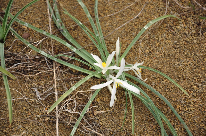
We spotted these sand lilies blooming low to the ground:
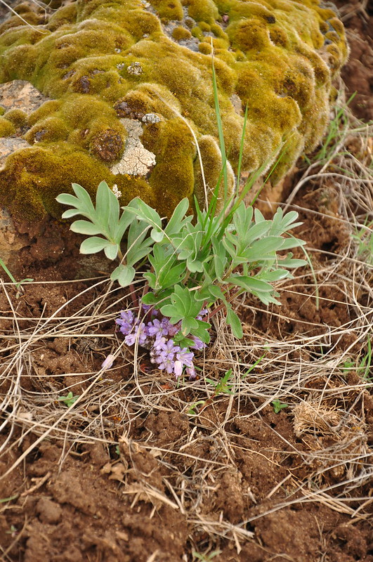
We also spotted some ballhead waterleaf:
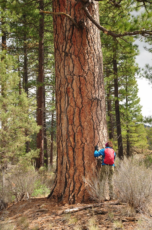
We passed this really big ponderosa pine. I love these trees:
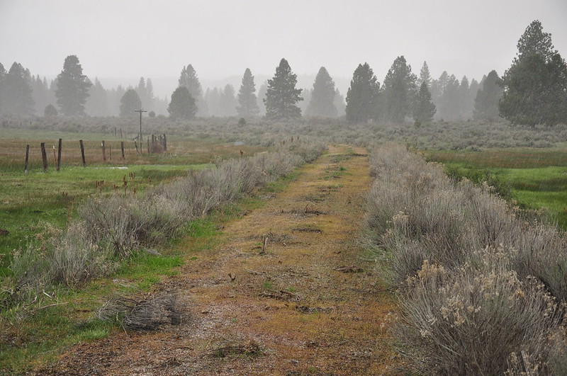
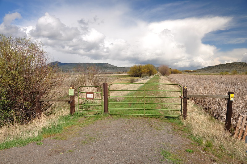
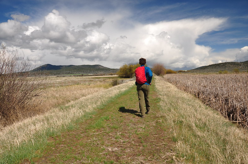
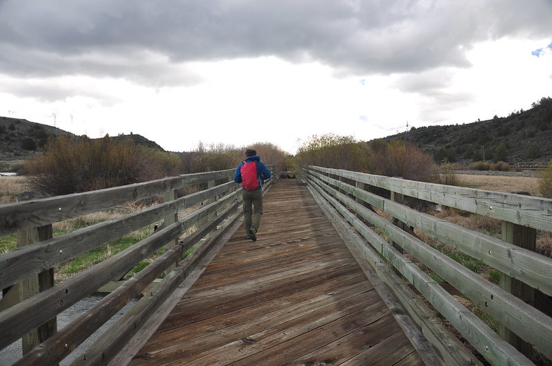
After we got back to the car and had a snack we drove east to Beatty and parked where the trail crosses Godwa Springs Road:
This section is straight as an arrow:
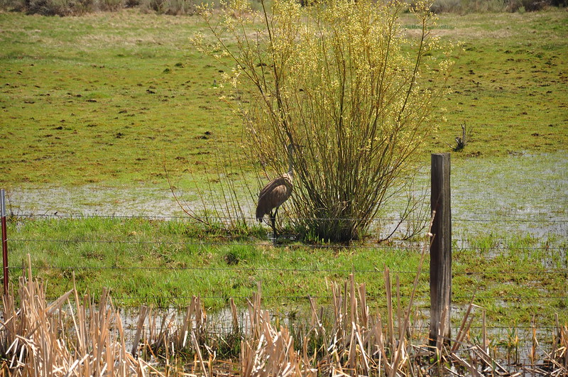
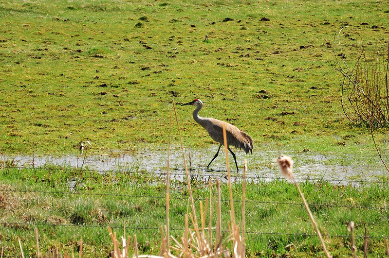
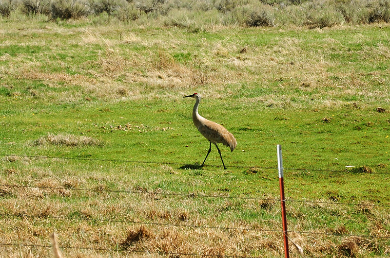
It passes through some marshy areas where there is a lot of bird activity. We were lucky enough to see this sandhill crane:
We could see Yainax Butte and through the binoculars we could spot the fire lookout up there:
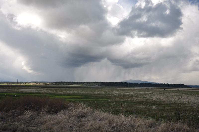
We could see this storm approaching from the west (fortunately the edge of this storm just grazed us and we only got a few drops):
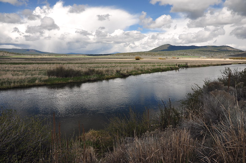
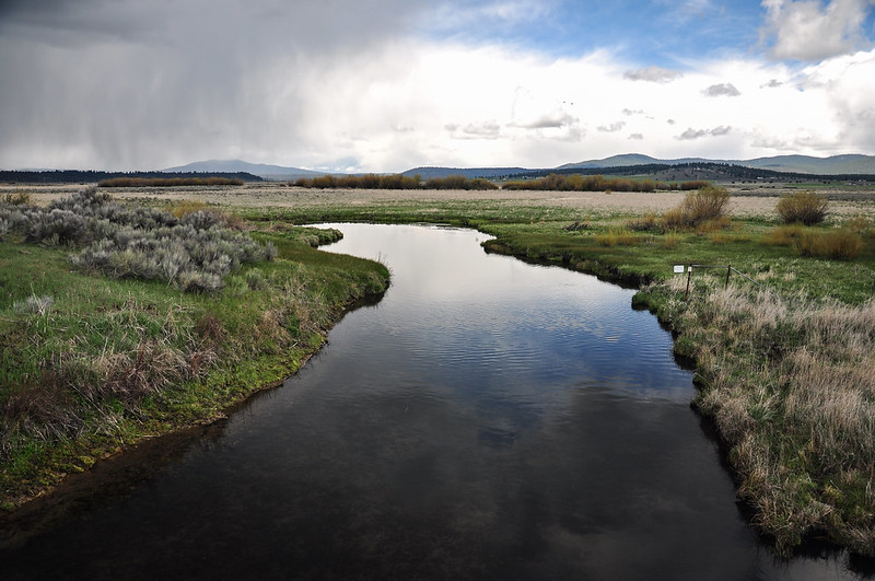
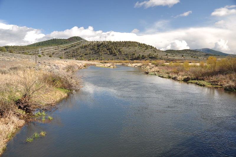
The lazy Sprague River:
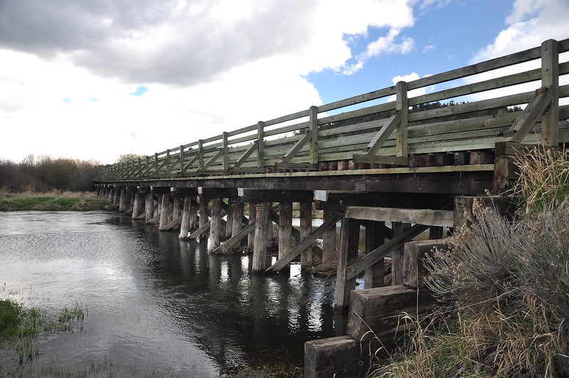
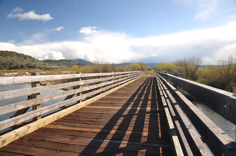
We crossed the river several times on this hike:
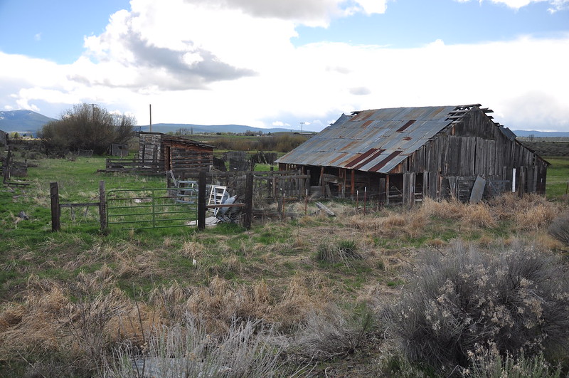
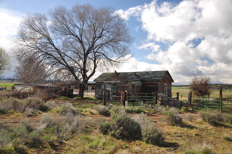
Old farm buildings:
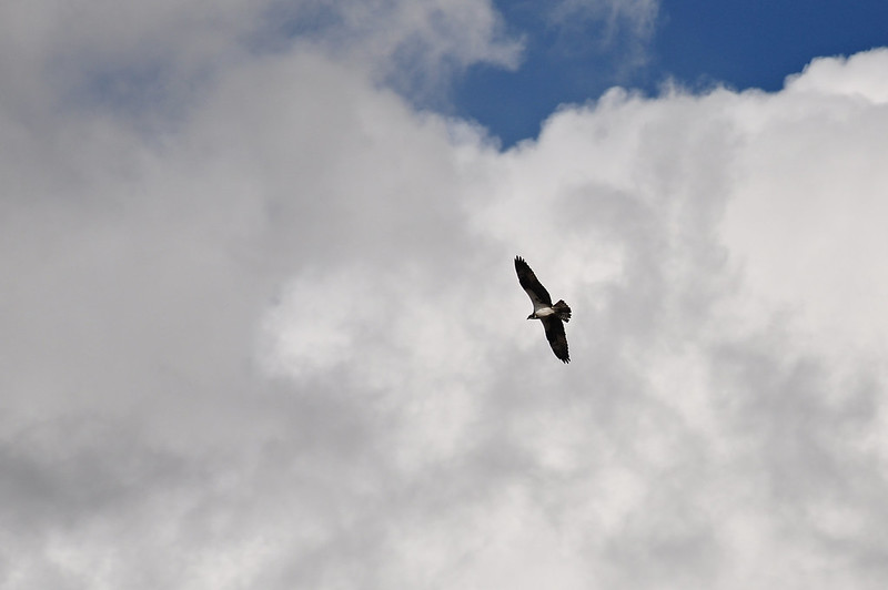
Turkey vulture:
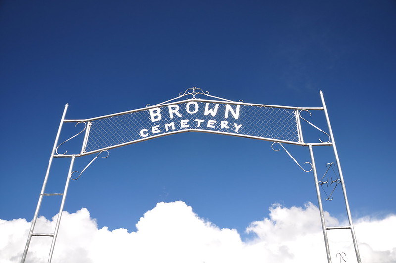
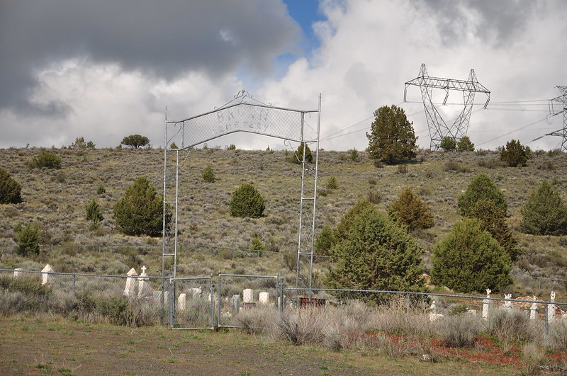
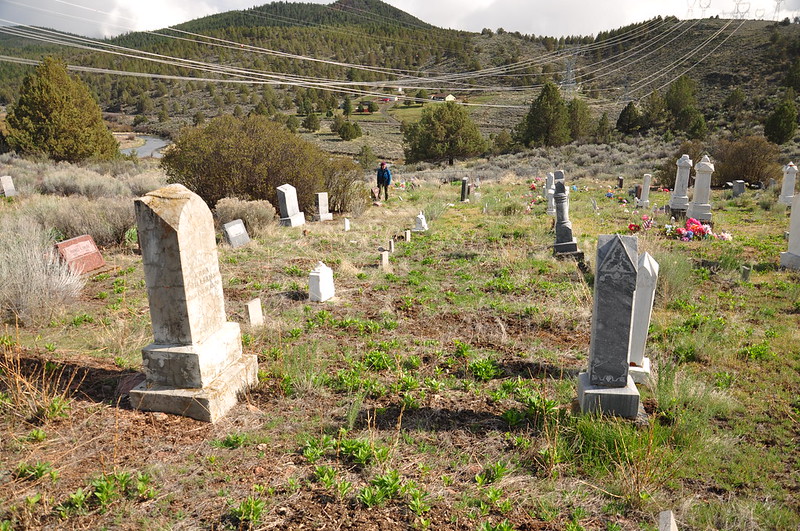
We detoured from the trail to stop at the historic Brown Cemetery and looked around. I didn’t get a photo, but we saw some antelope on the hill nearby:
Back on the trail we passed an old abandoned homestead:
We crossed the Sprague River on one more trestle:
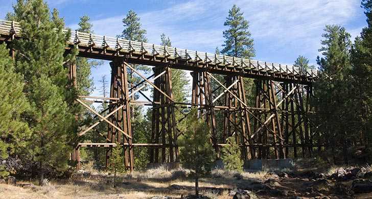
Then we headed back to the car and drove back to our cabin. We had wild weather today with sunshine, rain, and hail, but fortunately the storms passed quickly and we never got drenched. Depending on whose GPS you believe, we did a total of 10.5 or 11 miles today, which is the most miles I’ve done in one day since last summer! Pretty easy miles, though, on this relatively flat railroad grade. I’d love to come back and explore more of this trail someday, especially the section further north that crosses the Merritt Creek Trestle:
Video:


