Saturday, September 23, 2017
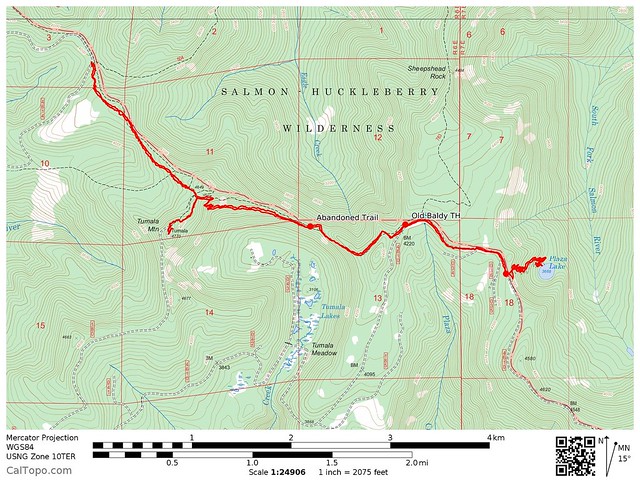
Greg and I wanted to do Tumala Mountain and Plaza Lake in the same day. We could have parked at the Old Baldy Trailhead on Road 4610, but that would have required driving 10 miles of rough road. So we parked on Road 4614 where the Old Baldy Trail and Eagle Creek Cutoff Trail intersect. (By the way, 4614 is paved and passable in any vehicle, but is getting quite overgrown. It’s like a tunnel in some spots.)
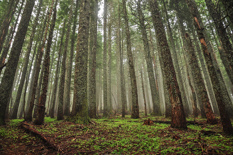
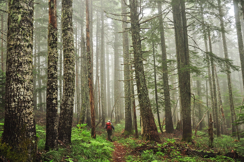
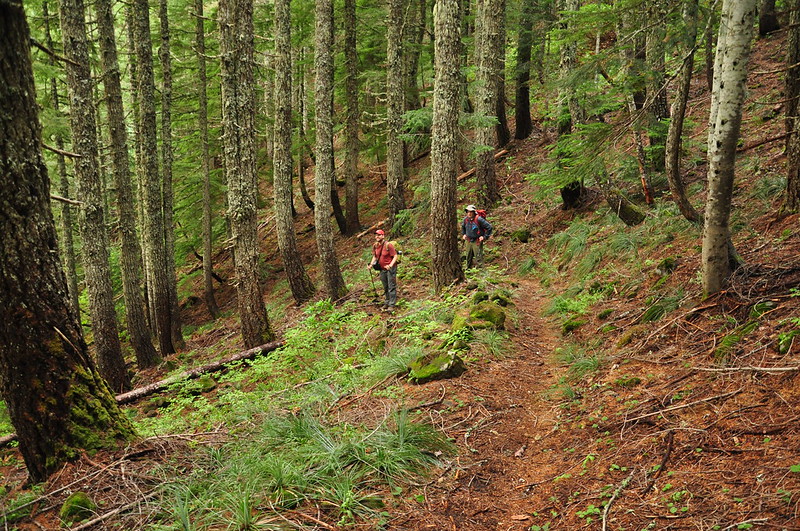
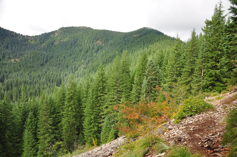
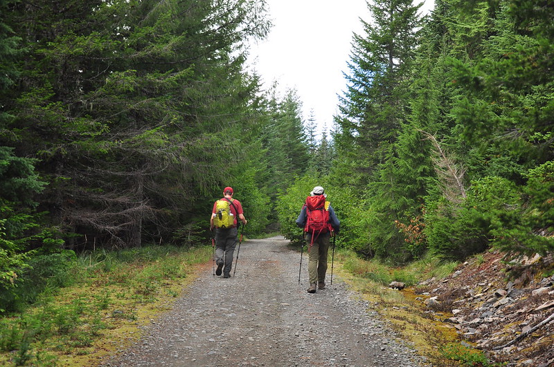
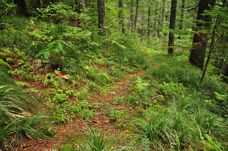
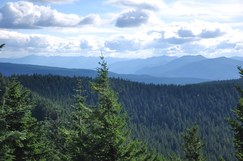
Our friend Matt joined us today. We donned our packs and set off on the Old Baldy Trail towards Tumala Mountain. We passed a wilderness sign right away (the trail serves as the wilderness boundary), but there was no wilderness permit box (indeed, we did not see a permit box at any of the three trailheads we visited today). The clouds had not burned off yet and the forest was a bit foggy:
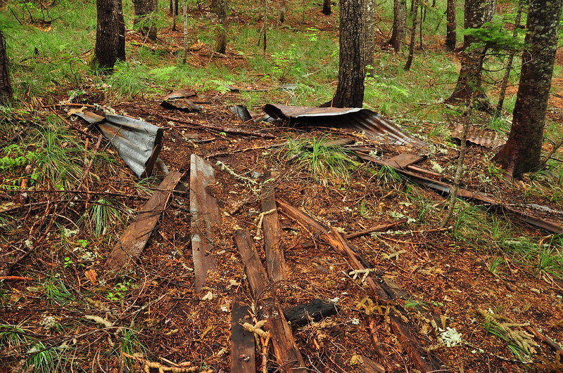
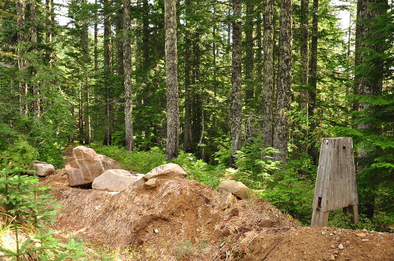
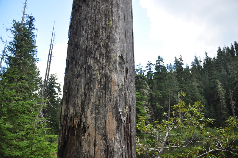
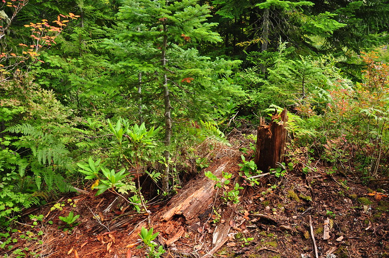
I remember coming across this last time I hiked here, and I still don’t know what kind of structure this once was:
We passed the junction with the spur trail to Tumala Mountain, but it was still cloudy so we decided to visit the summit on our way back. We continued on the Old Baldy Trail, now losing elevation as we descended to 4610.
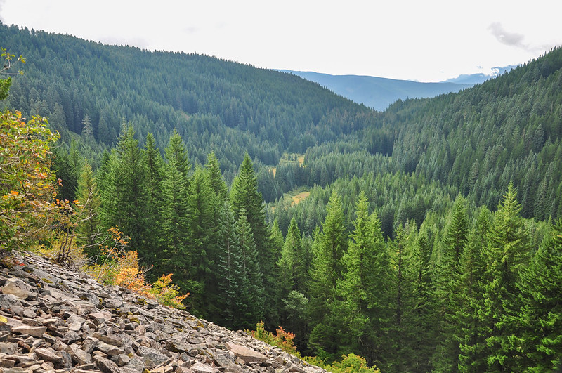
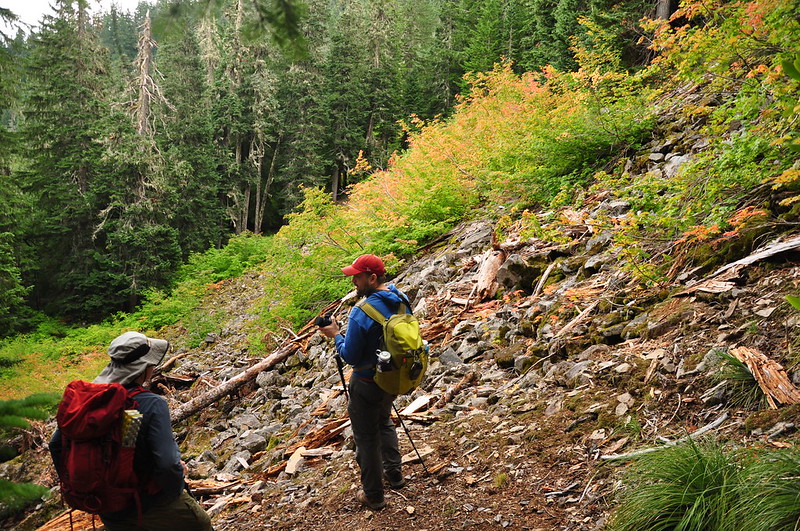
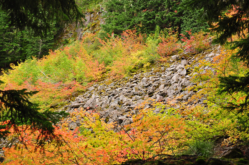
We crossed a scree slope with a view to the south where we could see Tumala Meadows below. That looks like a cool spot to explore.
Looking back at Tumala Mountain from the scree slope:
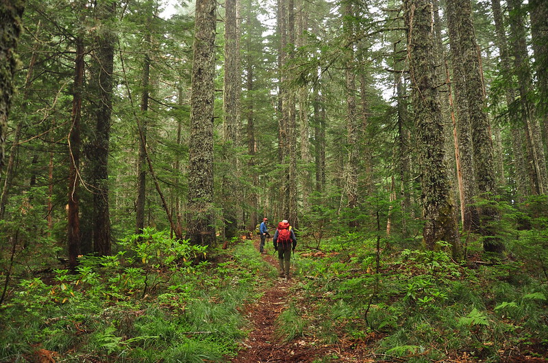
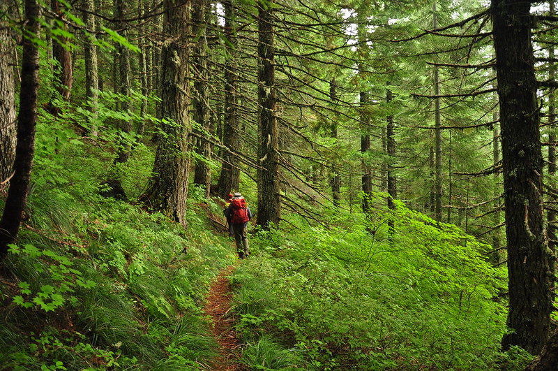
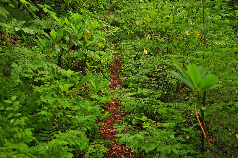
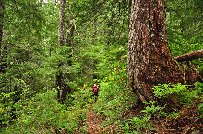
The trail was in pretty decent shape except that it’s getting a big overgrown:
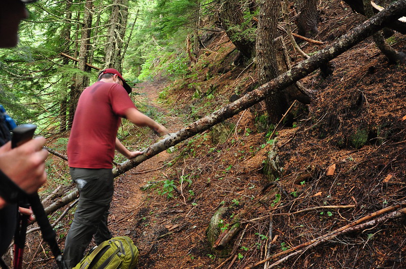
Matt tackled one small blowdown with his portable saw:
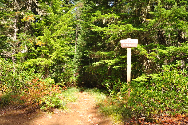
After a little more than three miles of hiking we reached the Old Baldy Trailhead:
Looking down the road in the direction we would have come if we had driven here:
The former entrance to the now-decommissioned Twin Springs Campground:
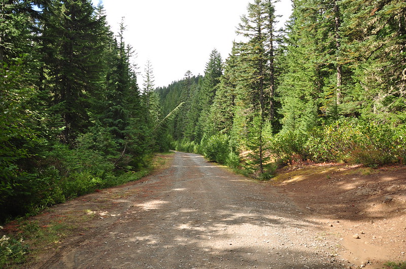
Road hiking:
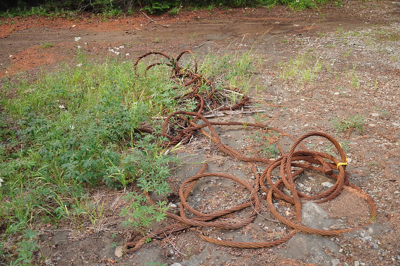
Saw this along the road near the Plaza Lake Trailhead. Something logging-related?
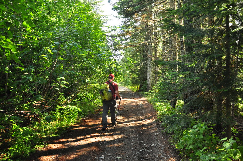
It was 0.8 miles from the Old Baldy Trailhead to the Plaza Lake Trailhead:
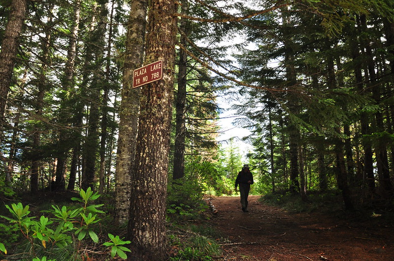
It’s all downhill from here!
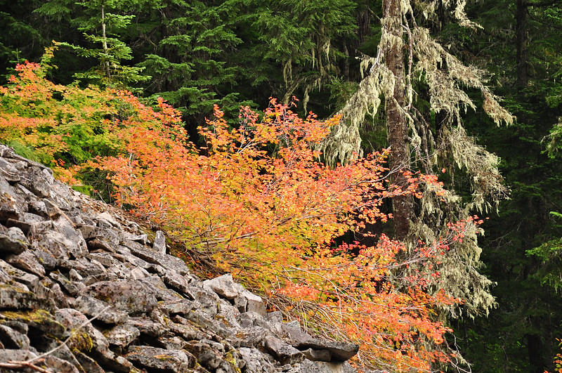
There were a few open slopes where the vine maple had started turning:
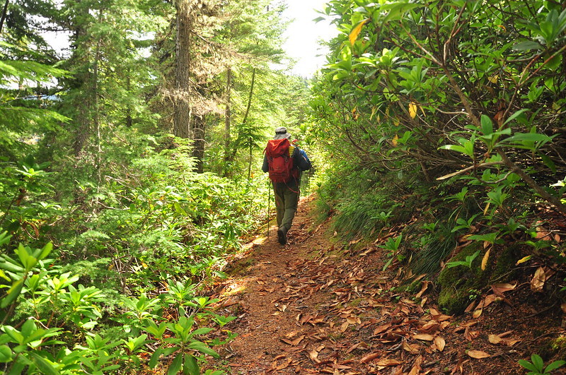
Still going down. There are some big trees here!
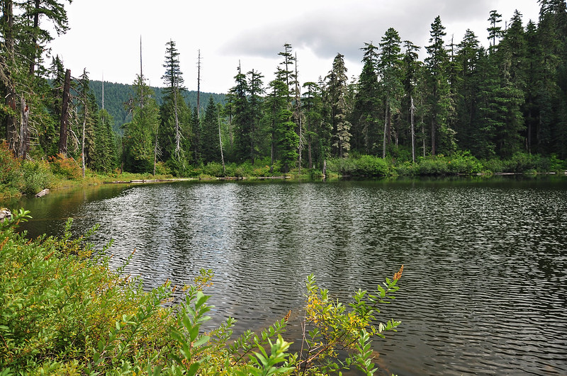
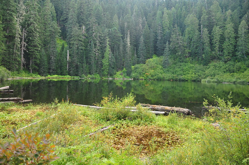
We kept seeing the lake through the trees but the trail is so well-graded that it takes awhile to hike the numerous switchbacks down the hill. Finally we arrived, and we had the place all to ourselves:
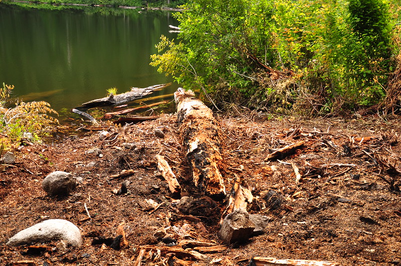
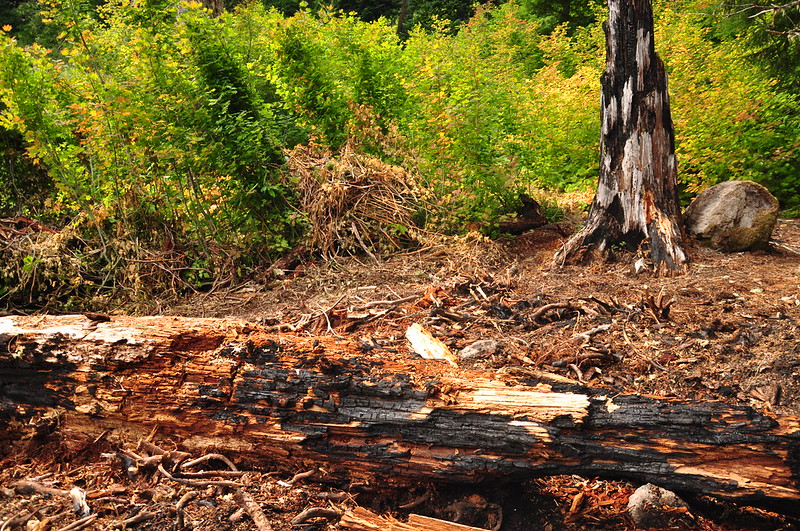
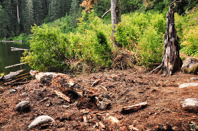
The hiking books refer to a campsite at the lake. I think we found the spot, but it’s not a campsite anymore. It looked like someone’s campfire got loose and started a small brush fire. The ground was all chewed up and a big swath of brush had been cut at ground level. The smell of charred wood was still pretty strong so I think this happened not too long ago. I can’t find any “before” photos of this spot online, but here’s what it looks like now:
We sat and enjoyed a snack, then explored the brushy trail that followed the shore on the north side:
A really really old trail blaze along the brushy lakeshore path:
The trail abruptly stops at a wall of trees and brush:
A long time ago the trail continued down the hill to the South Fork Salmon River and followed that river all the way over to the Salmon Butte Trail. Incredibly, someone bushwhacked the route in 2007. The trail shows up on the 1966 Mt. Hood National Forest map (below) and then the USGS 1980 Rhododendron quadrangle, but after that it’s gone.

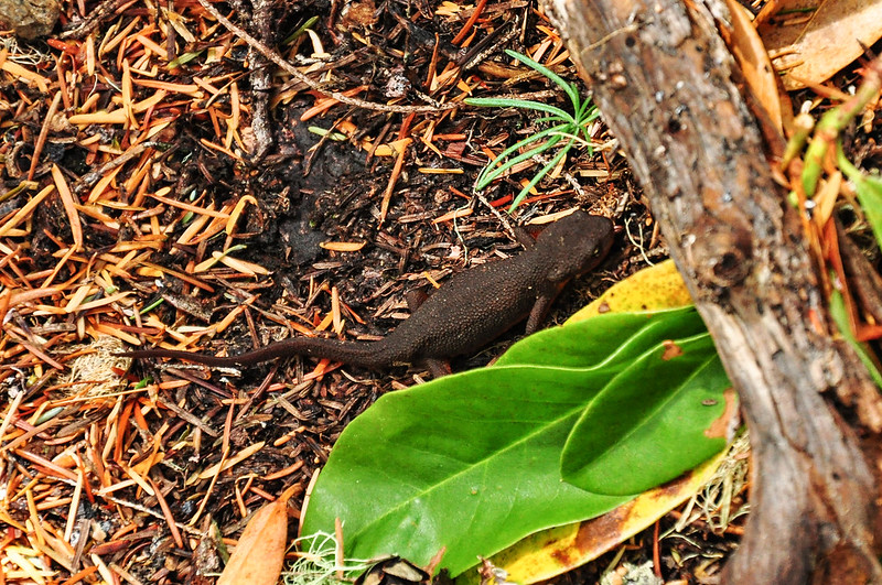
On the hike out we saw a newt!
Road hiking back:
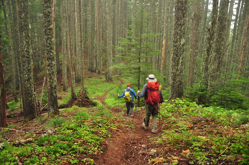
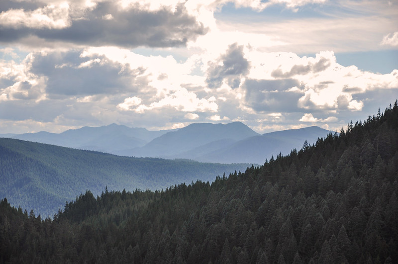
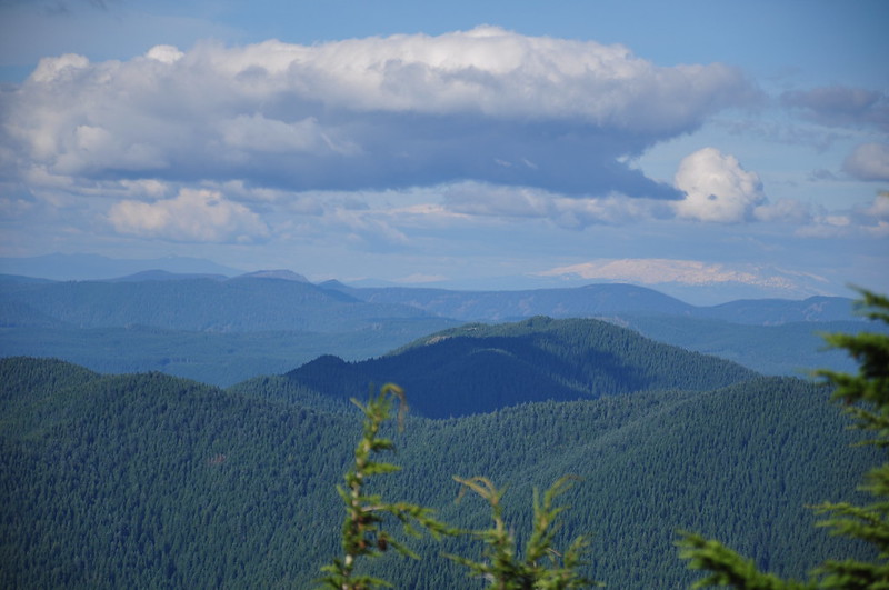
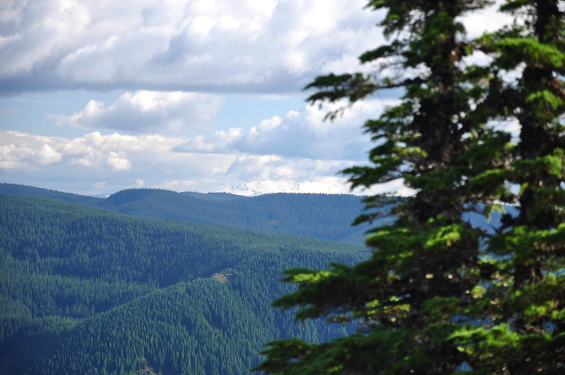
Then we hiked back up the Old Baldy Trail to Tumala Mountain. The view over the meadows was slightly less cloudy and now we could see the mountains in the distance:
On our way back up Tumala, just past the scree slope, we spotted an old trail heading downhill. Anyone know where this goes?
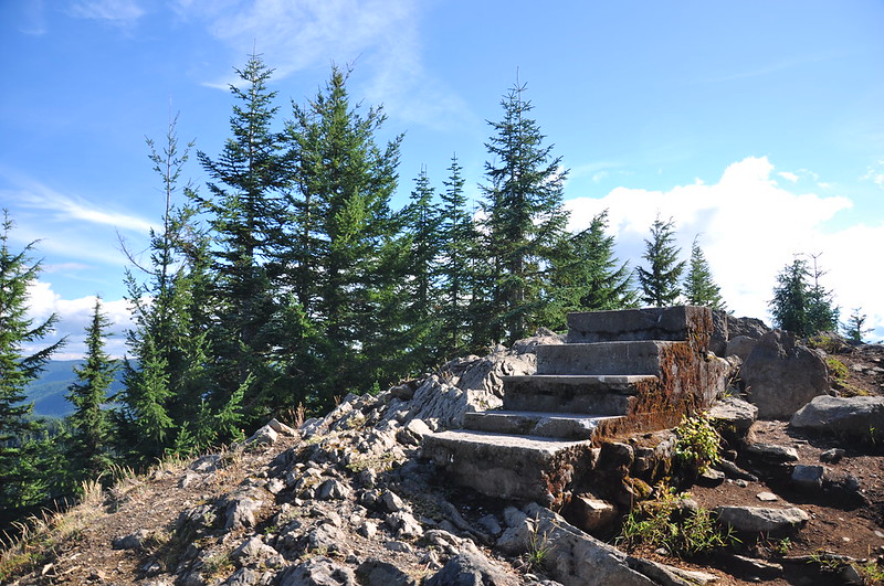
We reached the top of Tumala Mountain where the old concrete steps from the fire lookout still stand:
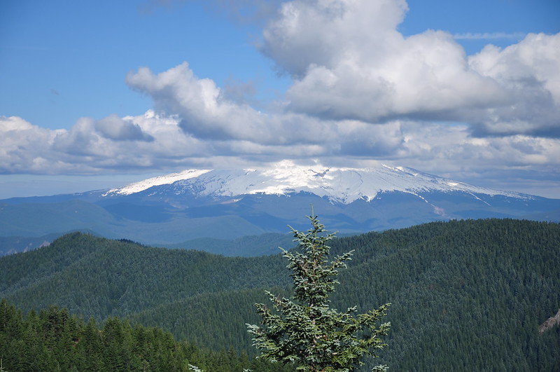
To my great disappointment, Mt. Hood remained stubbornly in the clouds:
Looking east:
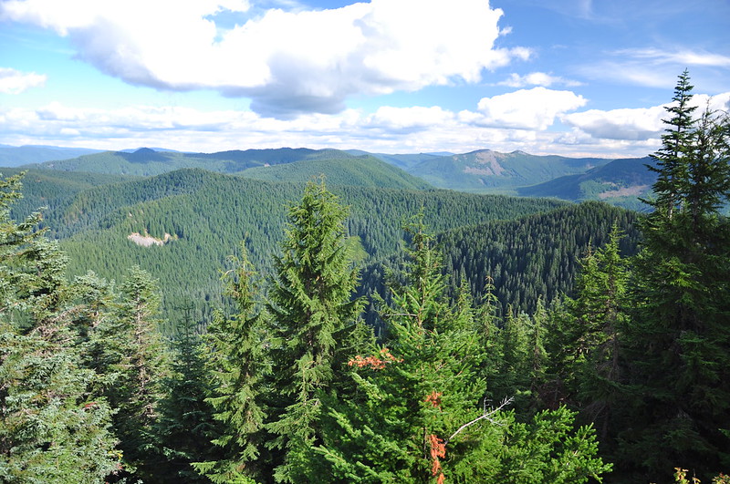
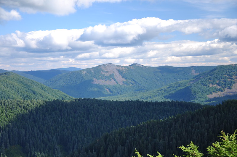
Looking southeast:
Looking north with the base of Mt. Adams visible. Also, I believe that is Tanner Butte, left of center:
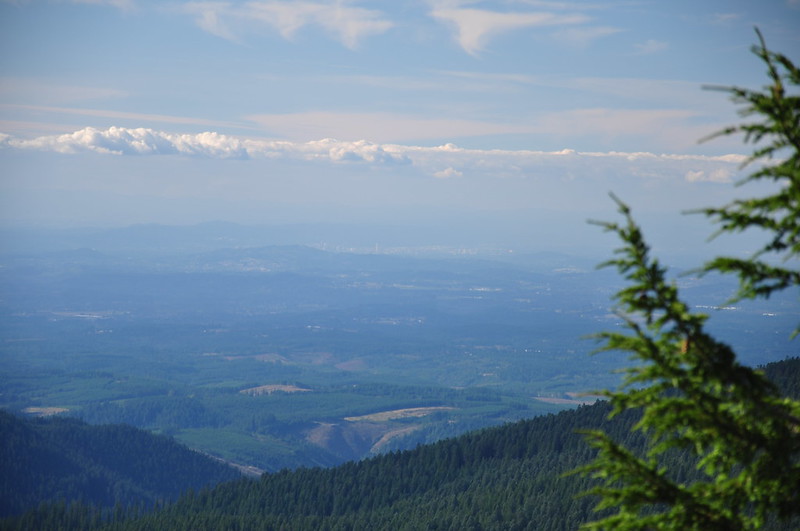
It’s downtown Portland!
Looking south:
Mt. Jefferson barely visible:
It was a long day with a lot of up and down. About 10.2 miles with 2300′ elevation gain. But a fun hike!
Video:


