With sunny weather in the forecast Greg and I talked about doing the Rimrock Trail to Mt. Mitchell. Greg spent the morning waffling on whether or not he wanted to go. By the time I figured out that he wanted to stay home and just wasn’t saying so, it was already 10am. I couldn’t do Rimrock by myself (IMHO the Clackamas Ranger District is not a safe place for a woman to hike alone) so I decided to do another hike on my bucket list: Salmon Butte.
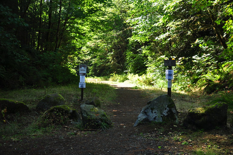
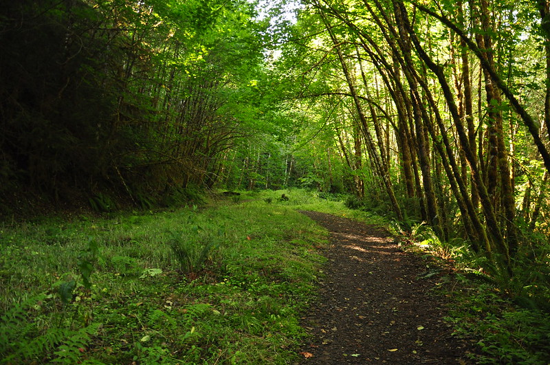
In 2010 the Forest Service decommissioned Road 2816 starting from a point just after it crosses the Salmon River. Unfortunately this added 2.5 miles onto the hike and an additional 800 feet of elevation gain. Here is the new trailhead:
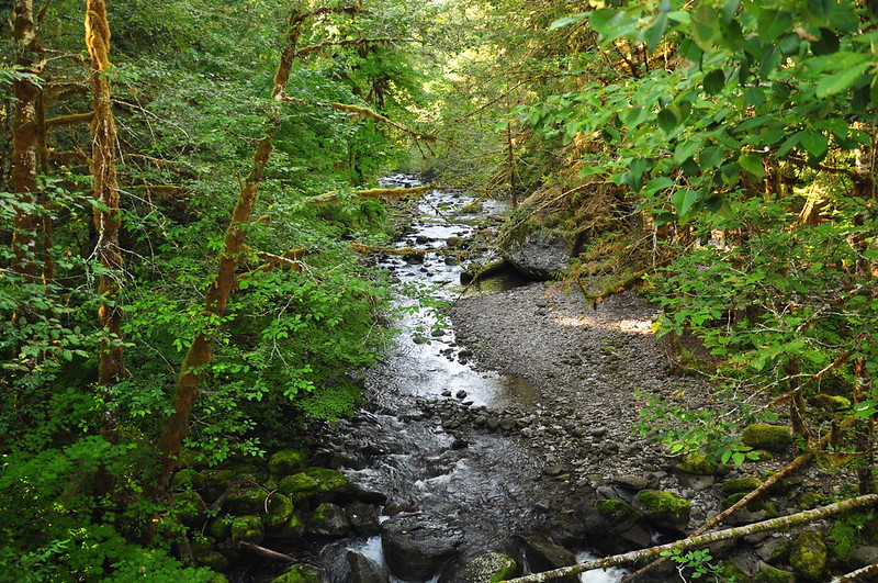
The trail crosses a bridge over the South Fork Salmon River:
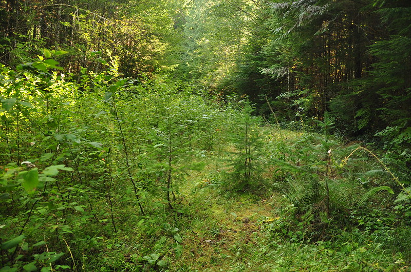
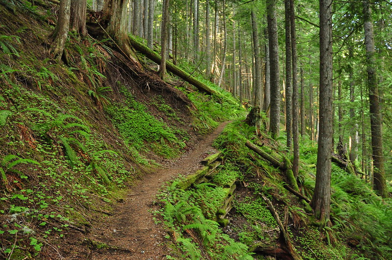
Then it was a climb up the decommissioned road. I was surprised at how trail-like this stretch felt. They removed the culverts, and the vegetation has really grown in, so it didn’t feel like a road at all.
Finally I reached the spot where the old trailhead used to be, although you would never know it now. The alders are growing in thick:
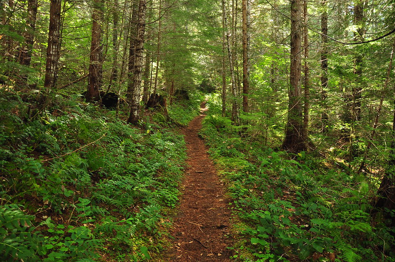
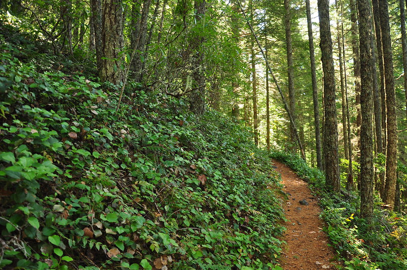
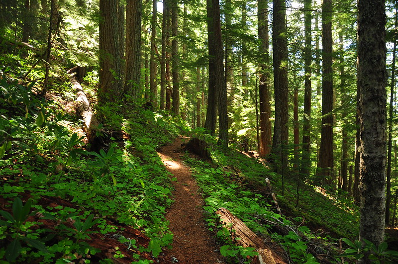
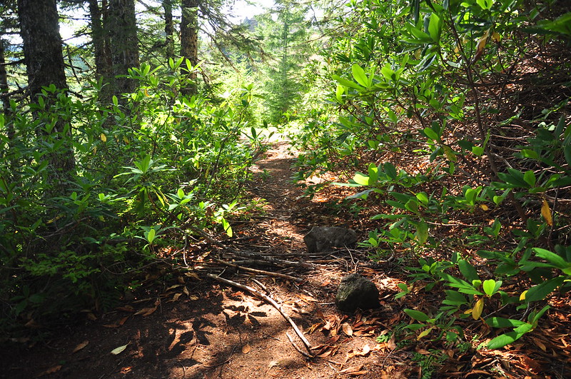
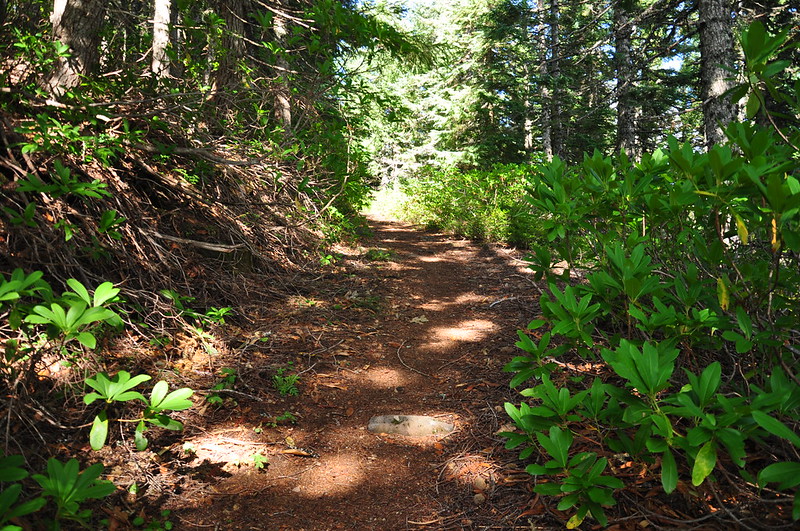
There isn’t much to see on this hike. It’s just a long hike through the forest. The trail was in great shape, though. Well-graded with very little blowdown. I had my earbuds in listening to the Dirtbag Diaries podcast and was able to keep a steady uphill pace.
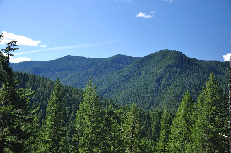
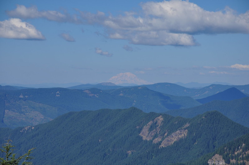
About halfway to the top is an opening in the trees where you can see across to Salmon Mountain (not to be confused with Salmon Butte).
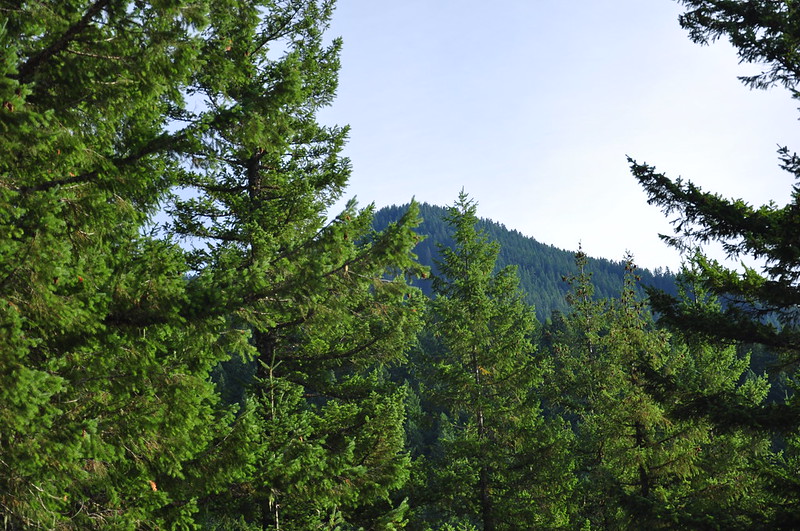
And you can just barely see Salmon Butte poking up above the trees:
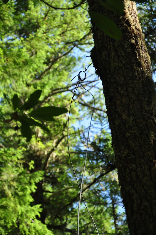
There were several trees that had old telephone line hanging from them, a remnant from the lookout days.
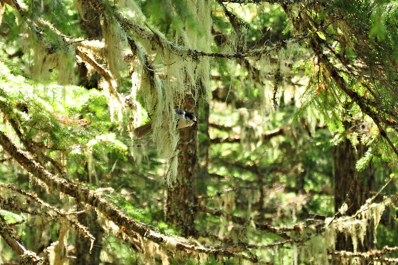
Besides a couple of golden-mantled ground squirrels (see video below for footage of them) the only wildlife I saw all day was a gray jay:
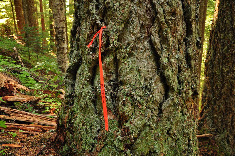
Spotted some flagging noting that I reached 4,000′. My GPS agreed.
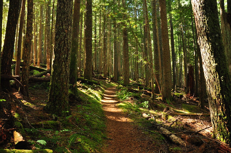
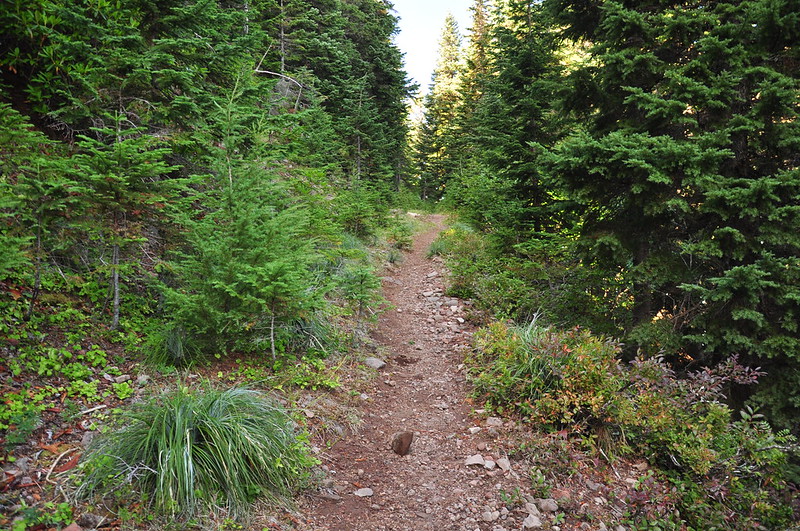
Still climbing:
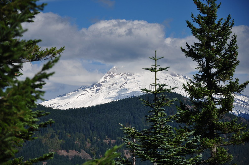
With less than a mile to go before the summit, I got a peek through the trees at Mt. Hood. What’s this? Clouds? Not what I was expecting, considering that on the drive up Highway 26 there were no clouds whatsoever in the vicinity of the mountain.
The trail hooks up with the old road that goes from Road 4610 (aka Abbot Road) to the summit. Looking down the road:
Looking up:
Now just a short jaunt up the road, as it curls around and up to the summit. Almost there!
I finally reached the summit at 2:30, after 5.7 miles and 3,000′ elevation gain. I had the place all to myself! I remember reading about the group of dirt bikes and ATVs on the summit that someone got photos of back in 2009, and I really hoped I wouldn’t find any OHVs or evidence of them. I didn’t. I wonder if the Forest Service has blocked access at the bottom of the spur road at the intersection with Road 4610?
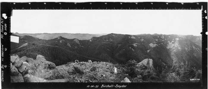
I love the old panorama photos from lookout sites. It’s fun to compare and see how things have changed. North:
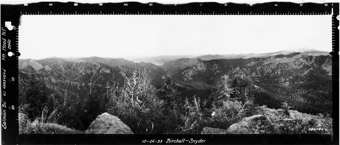
Southeast:
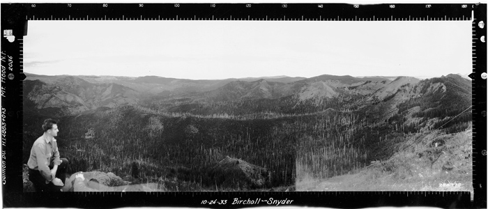
Southwest:
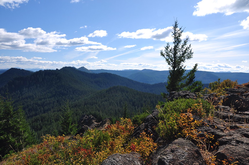
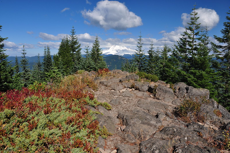
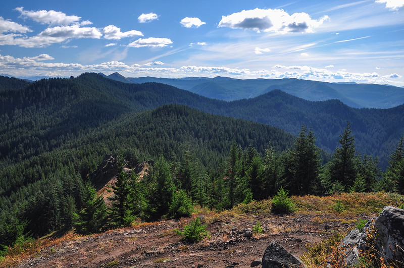
84 years later the view is now partially obscured by trees in several directions. South:
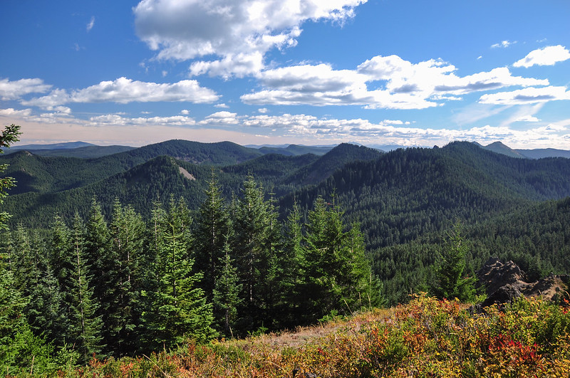
Southwest:
Olallie Butte and Mt. Jefferson close-up:
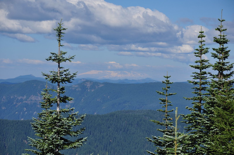
Southeast:
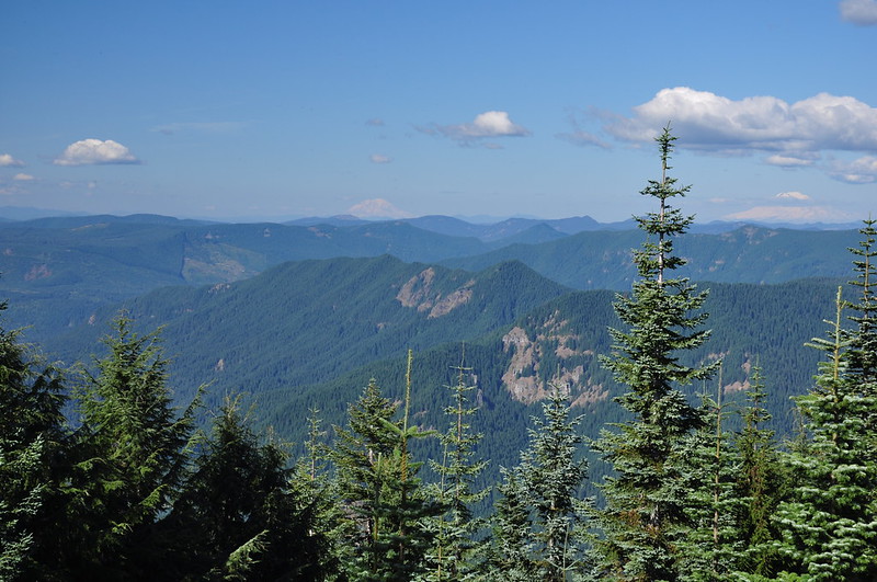
Looking north:
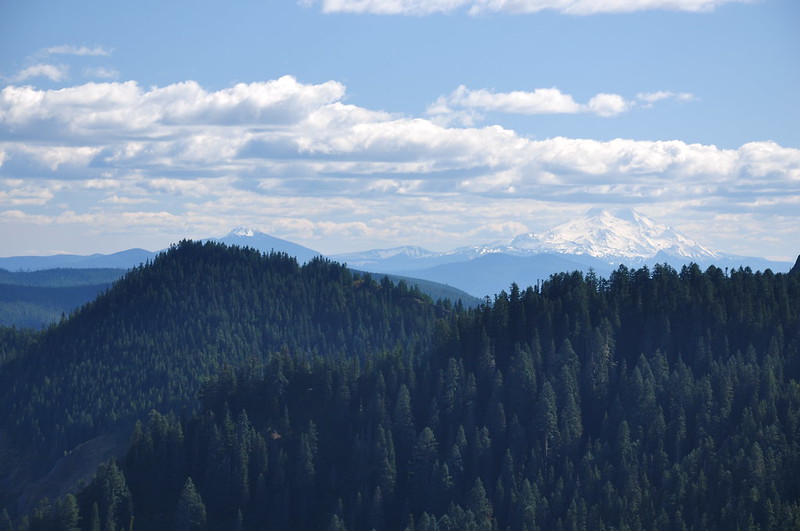
Close-up of Mt. Adams:
Mt. Rainier:
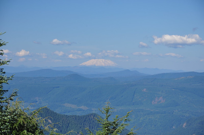
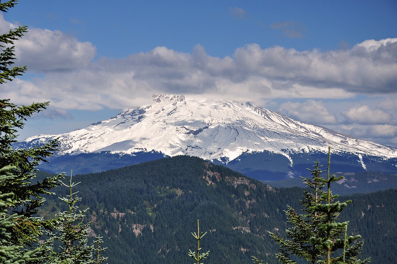
Mt. St. Helens:
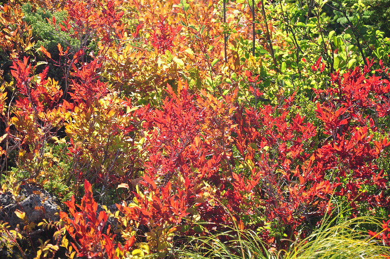
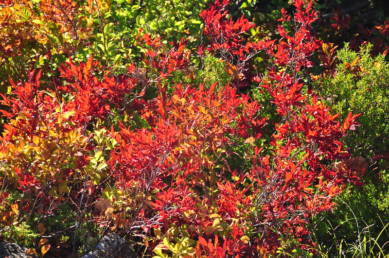
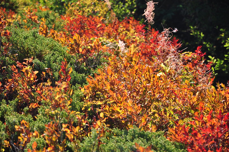
There was some nice fall color on the summit:
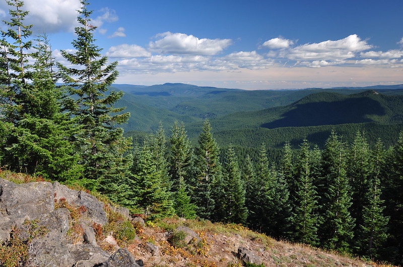
I stayed at the summit for an hour, but Mt. Hood refused to come out of the clouds all the way. I tried to see if I could spot the fire lookout on Devils Peak but the trees have grown up too much, and in any case I don’t have binoculars (really need to get some):
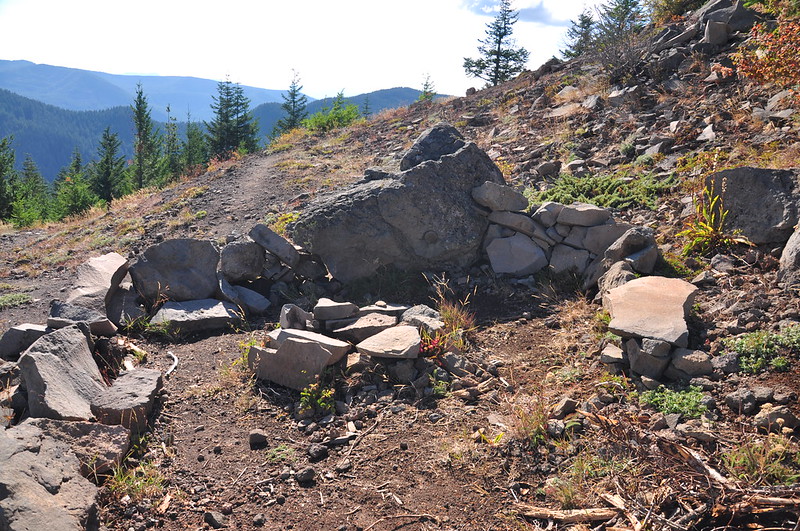
I looked all over the summit for the survey disk and couldn’t find it. On my way down I finally found it, on the side of a rock below the summit. I’m guessing this rock used to be up on the summit and tumbled down at some point. Someone incorporated it into a fire pit area:

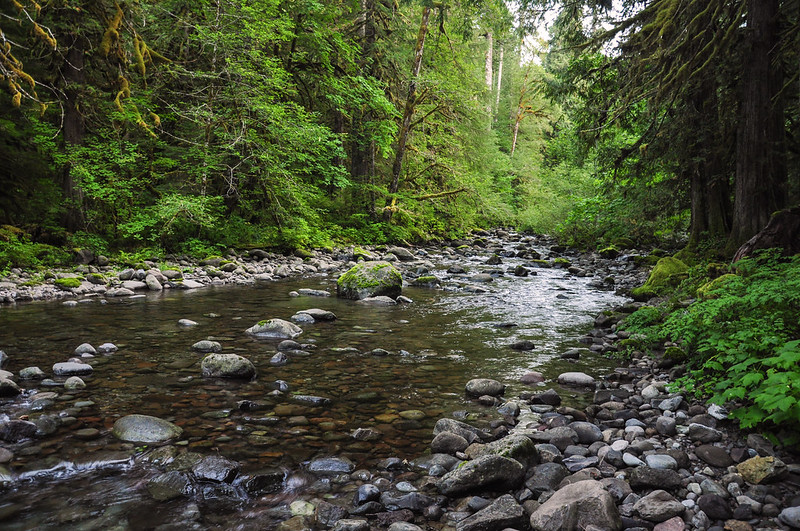
I got back to the car at 6. Here’s a parting shot of the lovely South Fork Salmon River:
On the way home I looked in my rearview mirror to find Mt. Hod once again totally free of clouds. Figures! I’m glad I crossed this one off my bucket list. I would definitely NOT recommend this hike unless it’s a crystal clear day. Also, if you can go during the rhododendron bloom in summer, that would certainly spice up the long hike a bit.
Video:


