April 27, 2017
This morning we packed up camp at Yakima Sportsman State Park and headed north to do the Yakima Skyline Hike. We drove out Buffalo Road then through a gate.
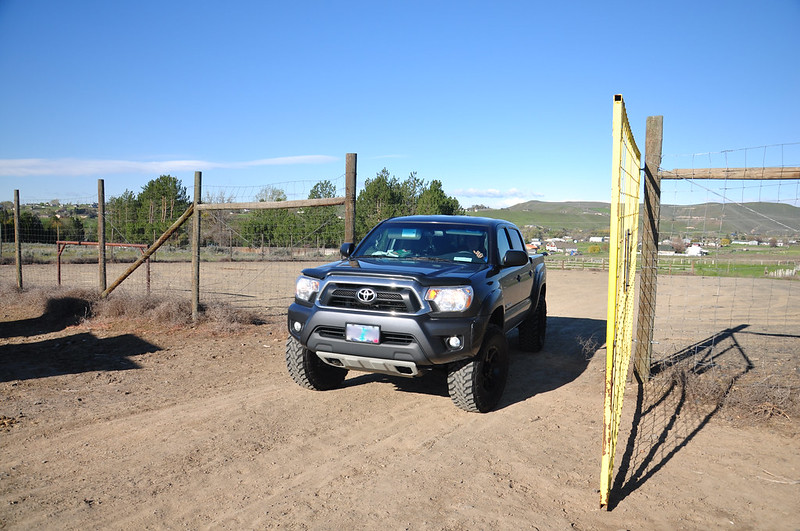
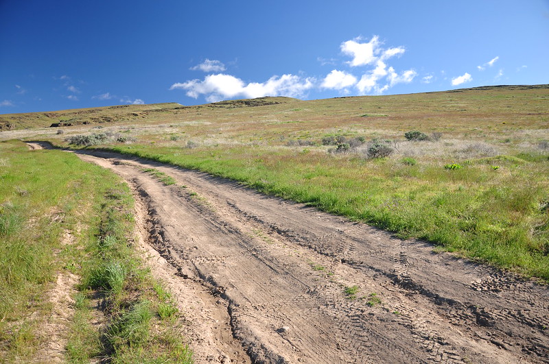
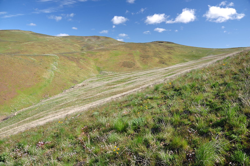
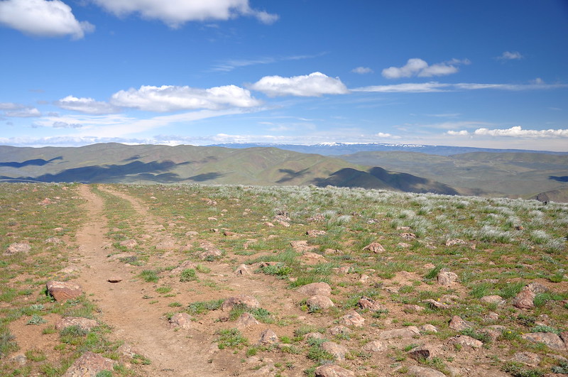
The last stretch of road was very rough. We probably could have made it in the Outback, but it would have been very slow going. This photo shows the road, but does not show the roughest rockiest parts:
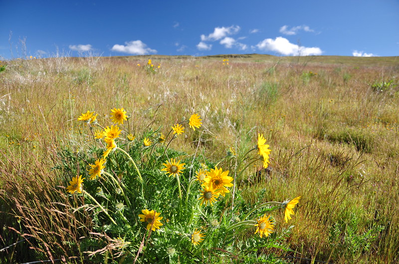
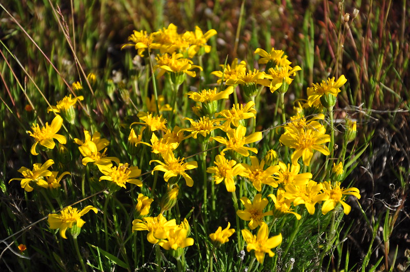
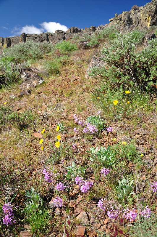
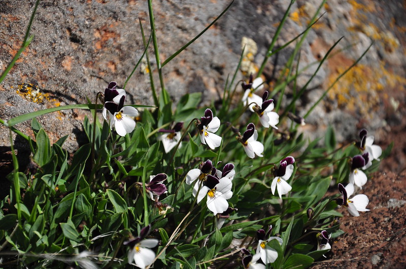
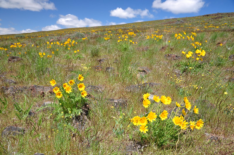
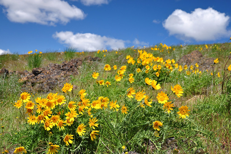
We parked the truck and headed cross-country up to the ridge. We were pleased to see wildflowers blooming!
There’s an actual trail down in that gulley, but our book said it was prettier to stay above.
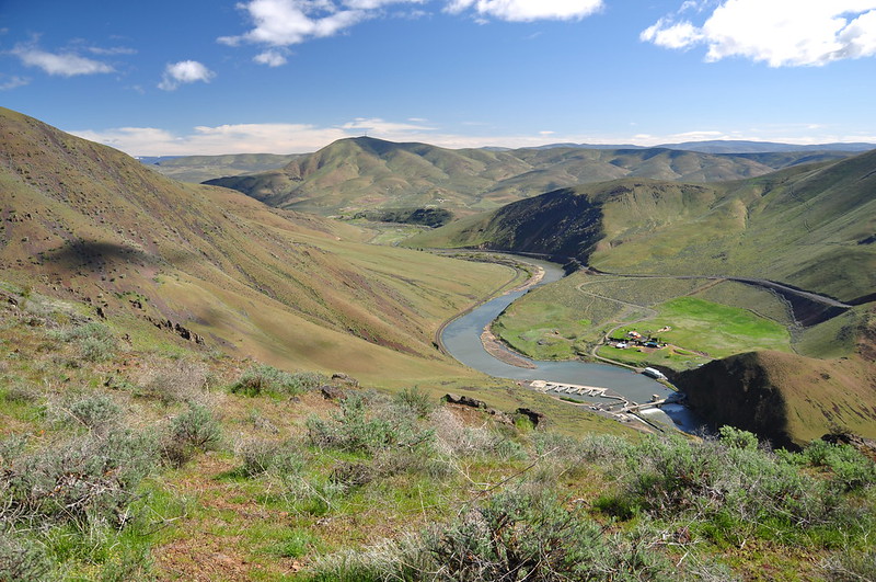
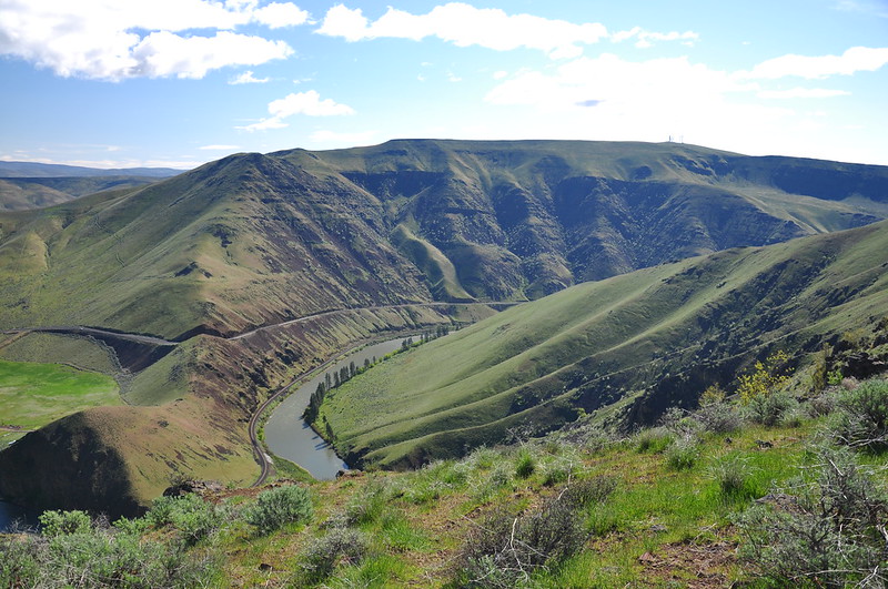
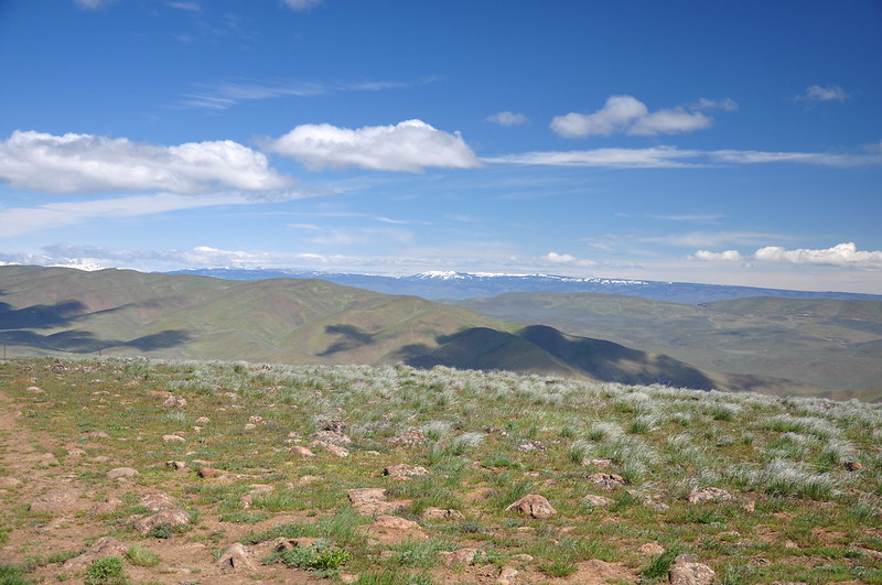
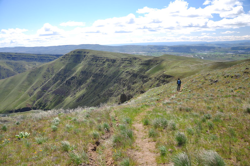
We got up to the ridge and connected with the trail that runs along it. Now we could see down the other side to the Yakima River and the Roza Dam far below.
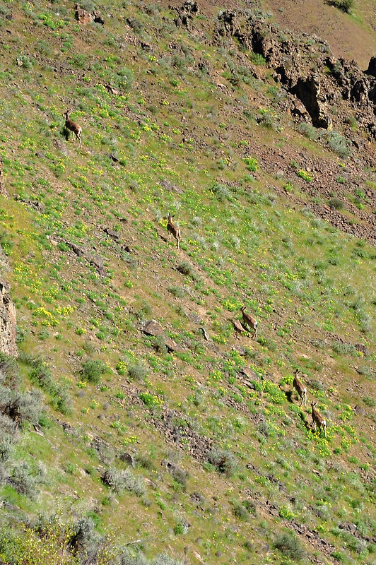
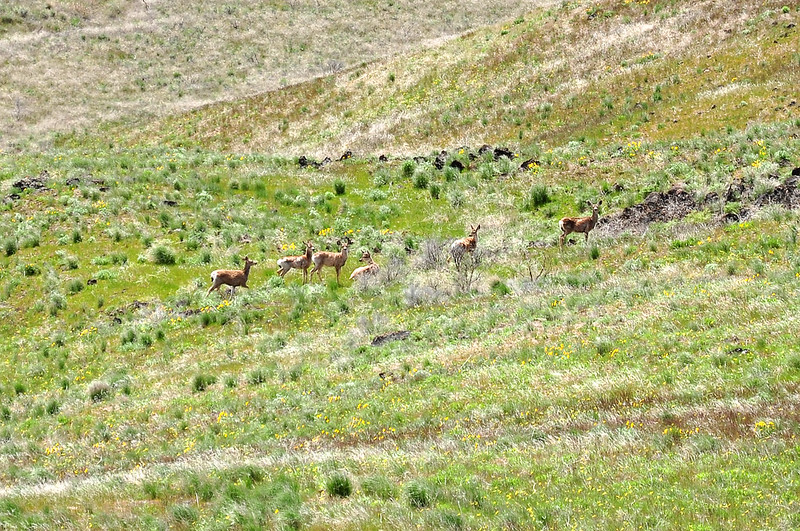
From that vantage point we also saw a group of deer bounding up the slope:
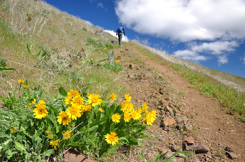
We followed the trail north, enjoying views and wildflowers as we went. It was windy up here.
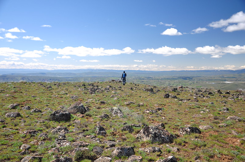
The trail skirted below a high point, but didn’t go up it, so we left the trail and headed cross-country up to the summit. It was a broad rocky area with views all around. And boy was it windy up here! Unfortunately the Cascades were mostly shrouded in clouds.
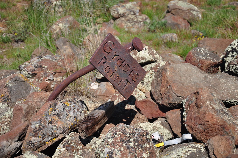
An old homemade sign stabbed into a pile of rocks said “Gracie Point.” There was a bundle of old collar tags from dogs as well, so I wonder if this is kind of tribute spot for pets who have passed.
We found a sheltered spot away from the wind and had a snack, then we started heading back.
We saw several more groups of deer.
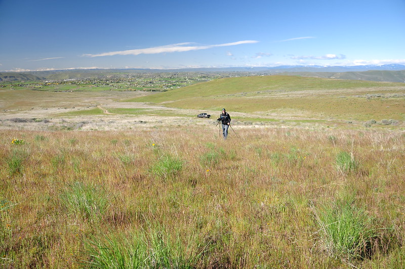
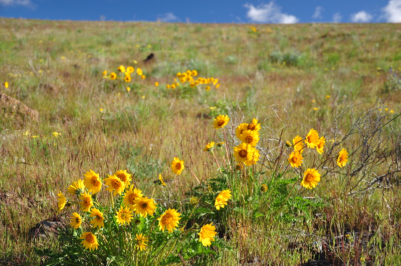
We descended back to the truck via a slightly different route and passed through a nice patch of balsamroot:
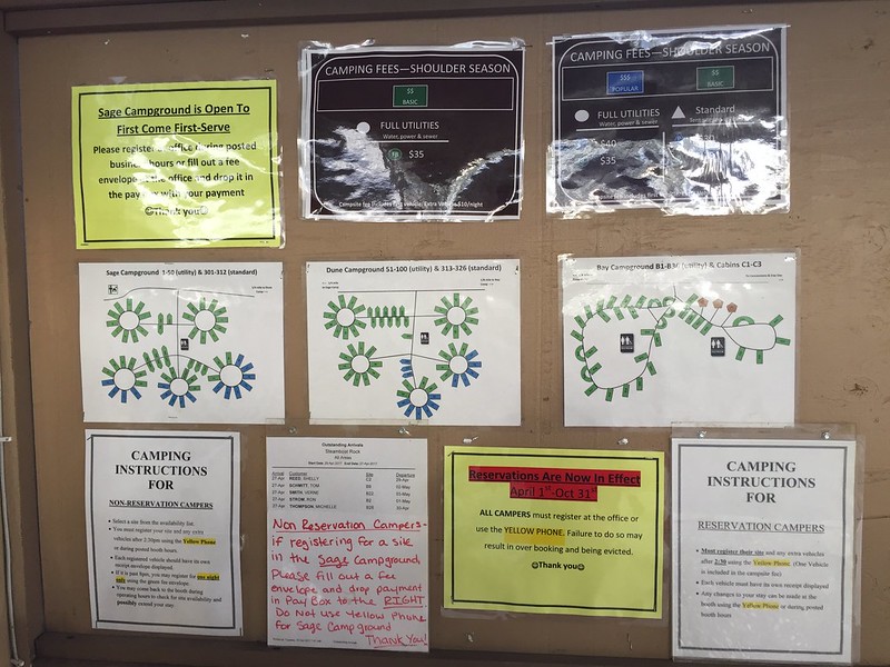
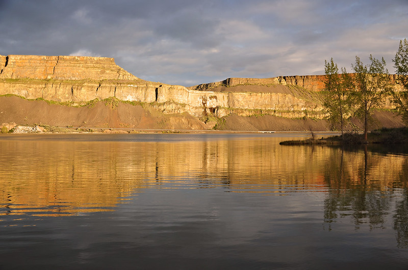
Before leaving the area we drove north through the Yakima River canyon that we had looked down on from above on the hike. It was quite pretty! Then we drove up to Banks Lake and headed into Steamboat Rock State Park, where we encountered the most confusing campground signage I’ve ever seen. If you need 10 signs to tell campers how to camp here, you’re doing it wrong.
We eventually figured it out and picked out a spot. We were relieved that there was no wind! We weren’t too far from the shore and at sunset the canyon walls on the east side of the lake turned golden in the light of the setting sun.
<< Day 1: Toppenish Wildlife Refuge and Yakima Sportsman State Park | Day 3: Steamboat Rock State Park >>


