Sunday, May 2, 2021
As I mentioned in my last post, we wanted to visit the Spring Basin Wilderness so we spent the first weekend of May car camping in the area (it’s too far to drive there and back in the same day). We had intended to do this hike on Saturday, but it rained all night Friday night and into the morning, so we postponed to Sunday.
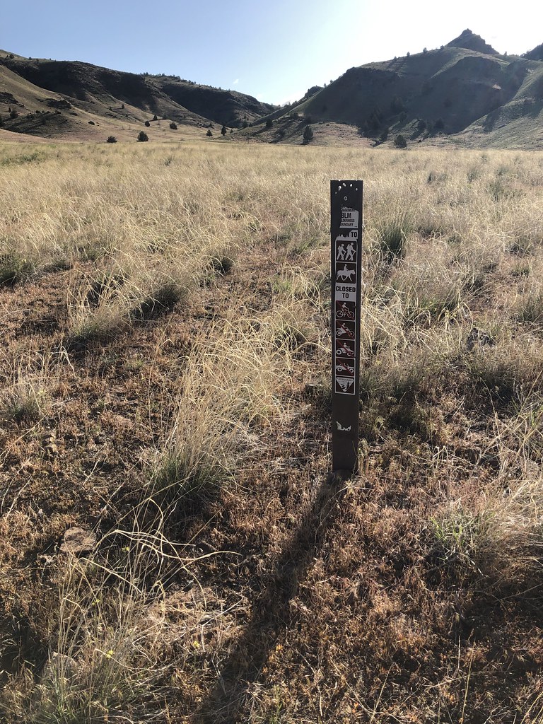
There are two trailheads and we parked at the first one, where there was only one other car besides ours.
The only signage here is a short BLM post:
Our route followed a faint track up that canyon. Here’s a shot looking up the canyon at the end of the day when the light was better:


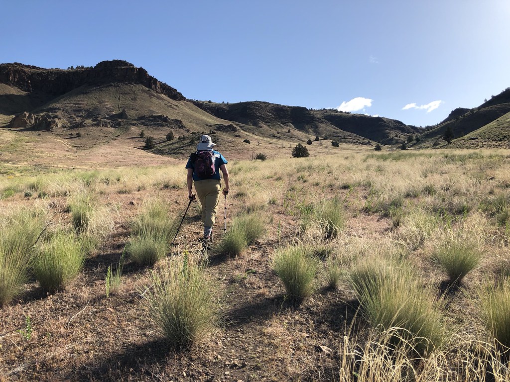
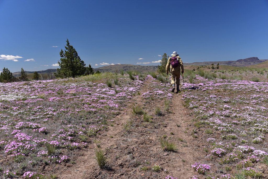
Setting off up the trail:


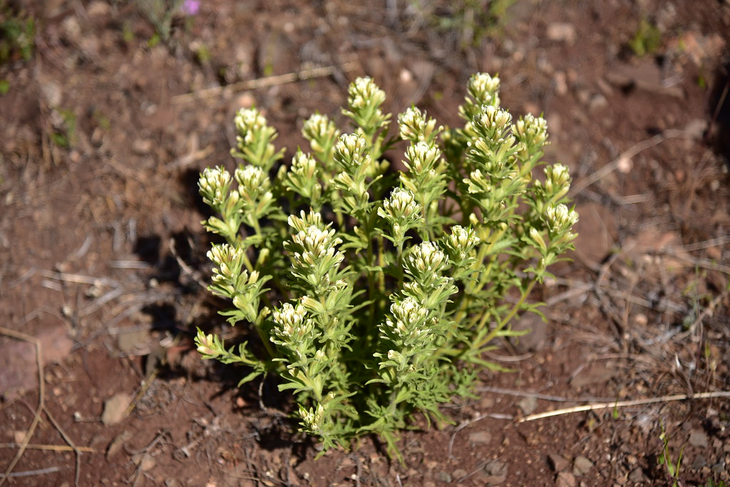
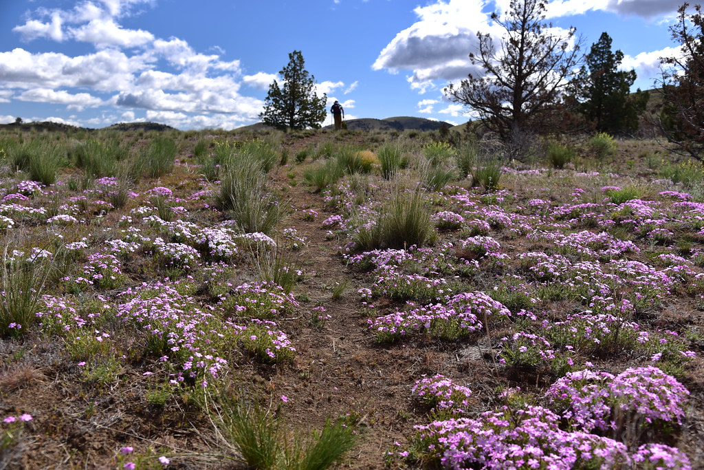
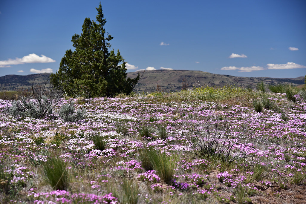
We didn’t know it yet, but this was the first of MANY phlox we would see in bloom today:

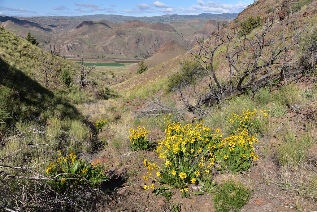
The little canyon we were hiking up became more narrow. Looking back the way we’ve come:
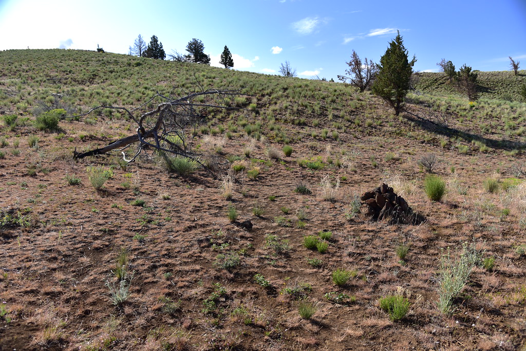
After 1.1 miles we reached a junction at the top of the canyon marked by a cairn and a fallen tree:
We turned left and followed the faint track:


We had a view of our destination, Horse Mountain. This was taken on the way back when the light was better. The summit is the rounded hump right of center:

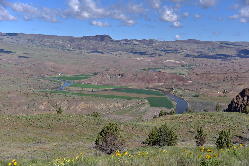
We reached a grassy knoll with a nice view all around. Looking down on the John Day River north of Highway 218:


The John Day River south of the highway (you can see part of the highway on the right):
From here the track becomes faint and also does a big swing to the north, so we followed the directions in William Sullivan’s book and headed cross country, heading for that grove of junipers:
Looking back the way we’ve come so far:

We reached the grove of junipers down in a draw:
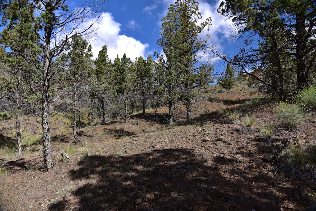
Then hiked up the other side:

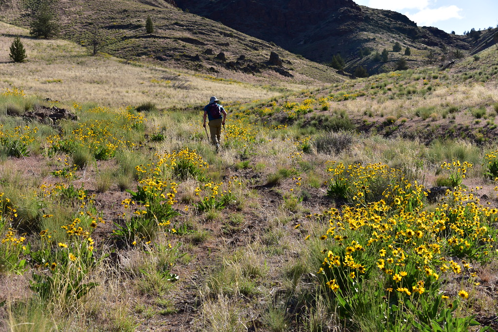
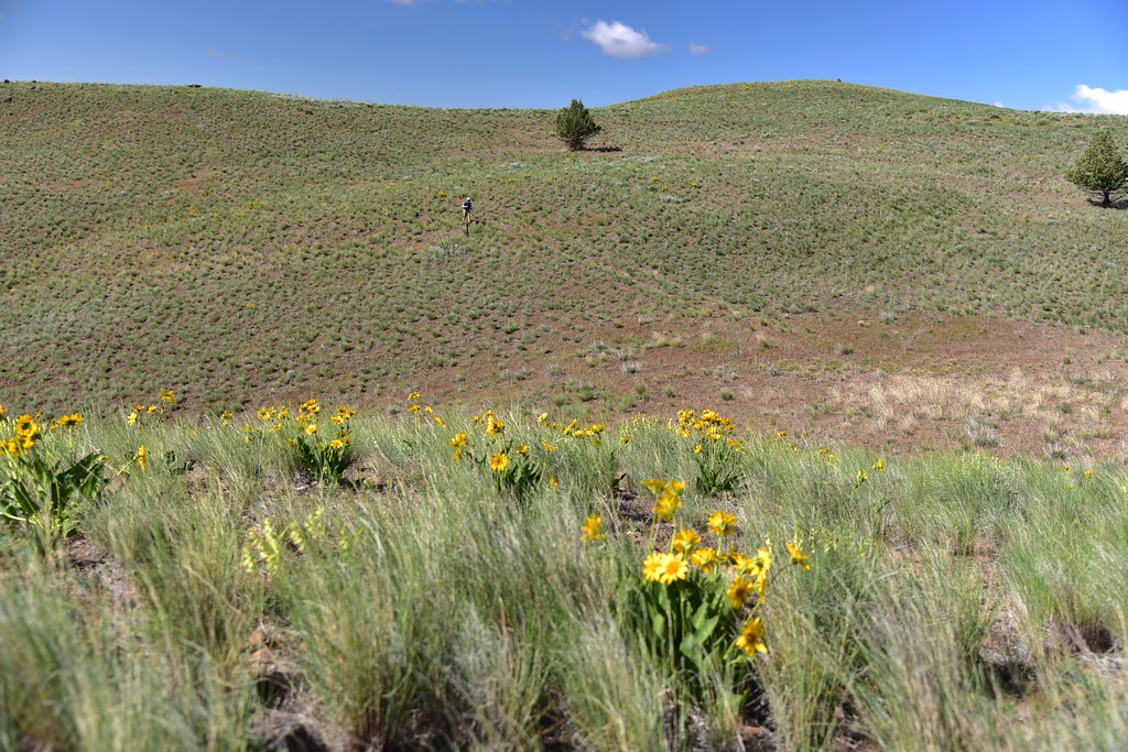
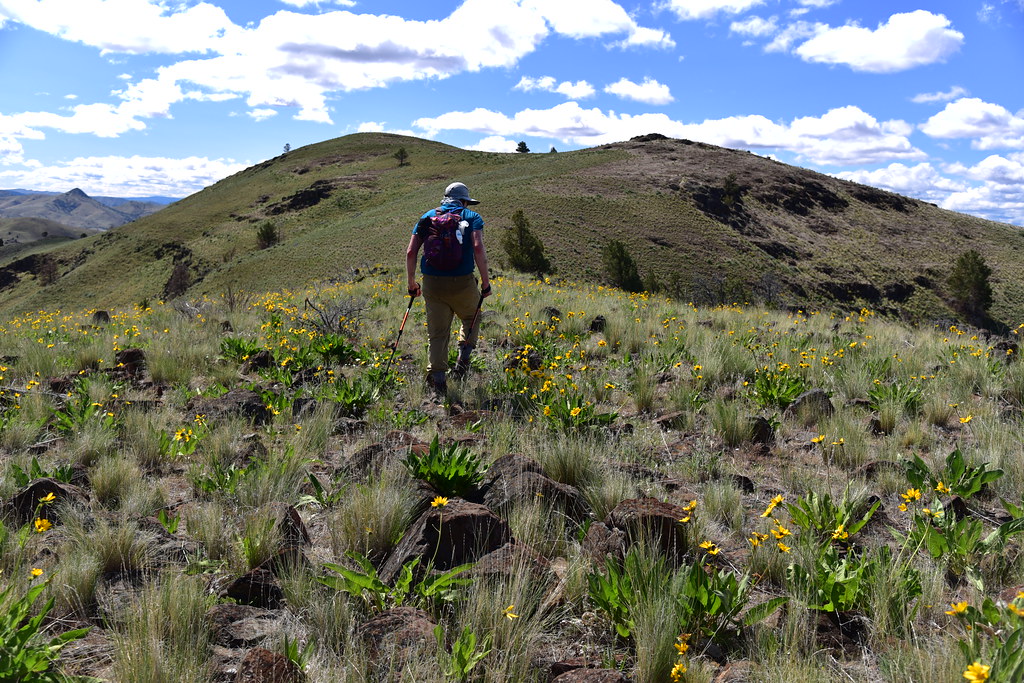
We picked up the track again and headed in the direction of Horse Mountain. This is when we started seeing a whole bunch of phlox. CRAZY amounts of phlox!

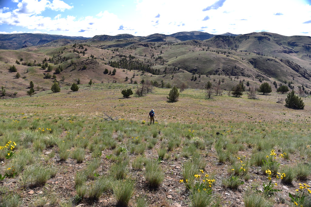
We reached a point where the road turned left/north and we turned right/south to go cross-country to the summit of Horse Mountain. The first part was pretty steep:
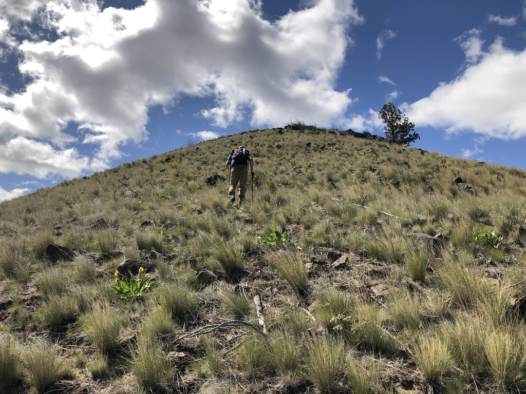
After that initial steep ascent we were not there yet. Horse Mountain is the rounded hump on the left:
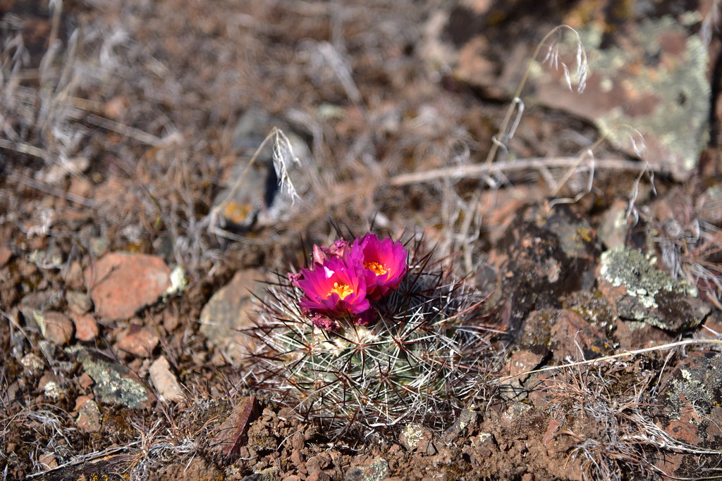
One of the main attractions here is the hedgehog cactus. Unfortunately we were a bit late and it was mostly done blooming, with a few exceptions:

Almost there:

The summit had views in all directions. Iron Mountain to the north:

Looking east:

Looking south:
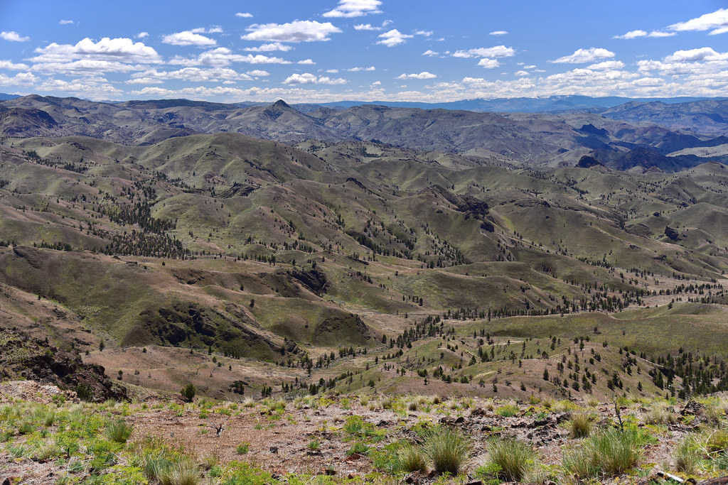
Looking southeast:
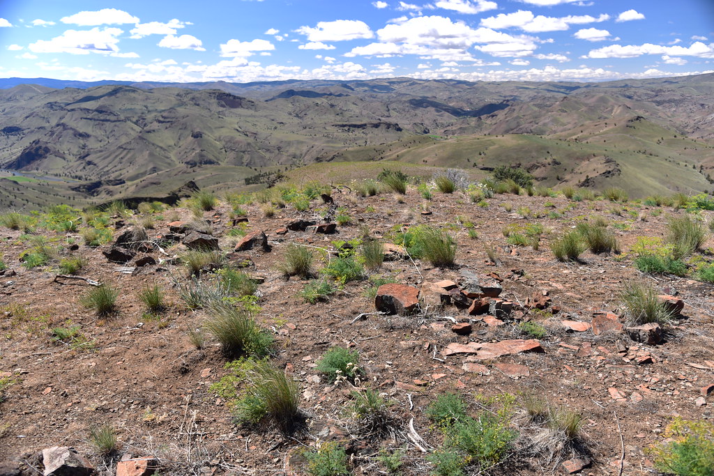
Looking northwest:

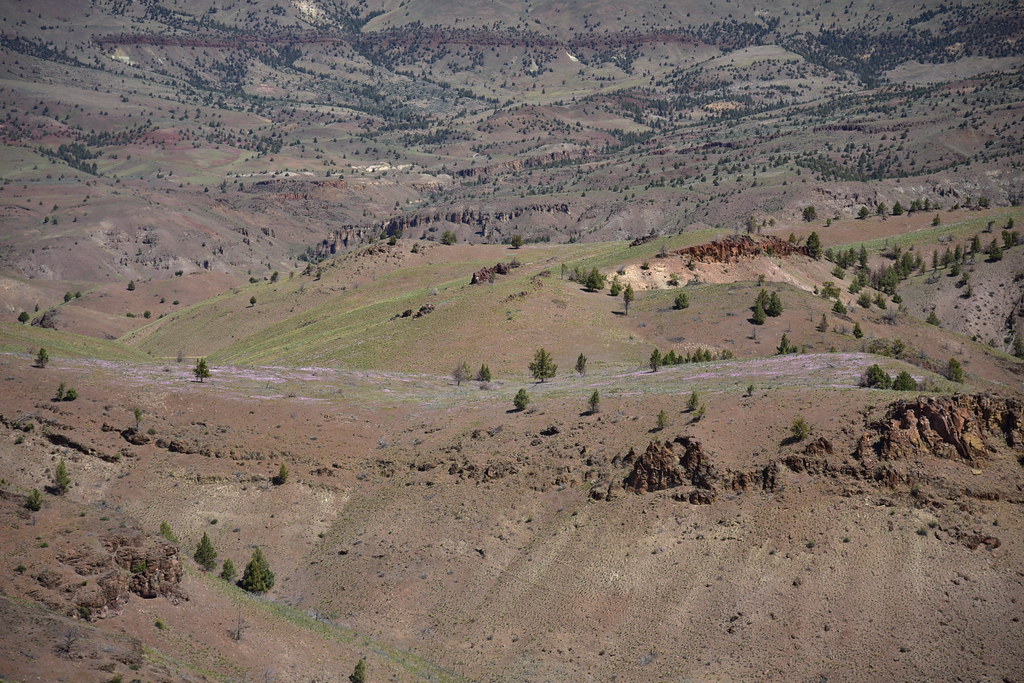
Looking down on the John Day River far below us. This is the section of river that is south/upstream of where we parked:

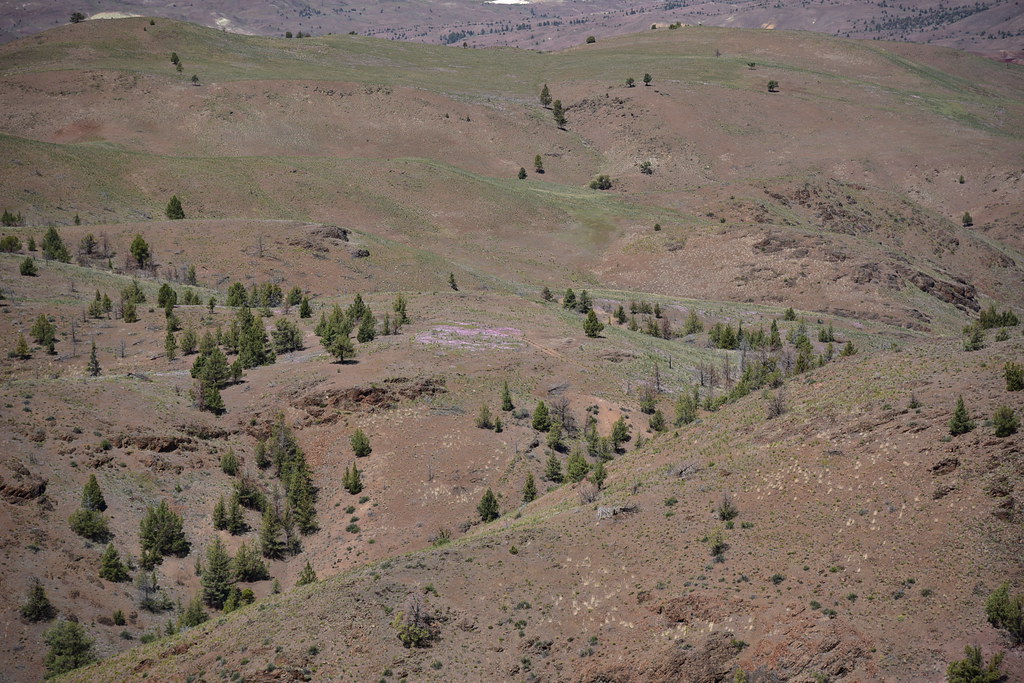
So much phlox you can see the smears of pink even from a distance!
We sat on the summit for awhile enjoying the sunshine:

The wind started to pick up so we packed up and headed down:

Passing back through all that phlox:

This was a nice hike! We only saw two people the whole day, a couple who had camped overnight not too far from the junction at the top of the canyon.
Gaia stats: 6.8 miles, 1,650′ elevation gain
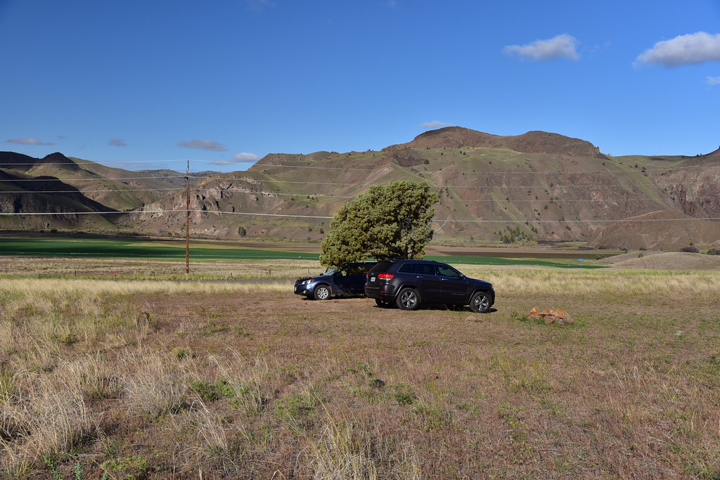
As I mentioned, we camped in the area for the weekend. This was our first camping trip of 2021. It’s been too long! We found a nice spot on BLM land along the John Day River north of the highway:

Looking down on our spot from above:

We had a view of Iron Mountain across the river:

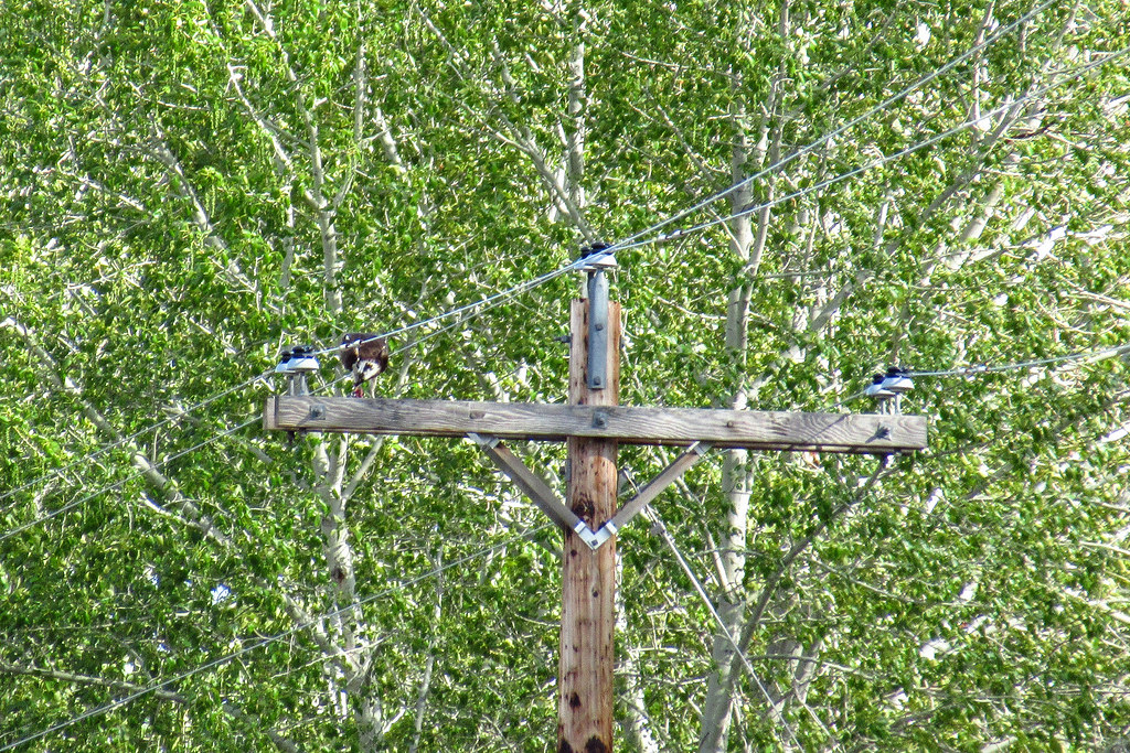
We also got to watch some ospreys, which was great:


The photo below is not great, but one of the osprey was up on a utility pole eating a fish he had caught:
We saw some pronghorn antelope from a distance, on the other side of the river:

The one downside of this campsite was the people camped just up the road from us who decided it was a good idea to shoot their guns right in their campsite, even though they had a road on one side of them, a river on the other, and half a dozen different groups camped around them. When they weren’t shooting it was peaceful; listening to the birds was great. When they were shooting, it was awful and definitely NOT peaceful. Not to mention exceedingly unsafe.


