Friday, April 22, 2022
Today was the first day of a three-day camping trip and we did this nice little hike in the afternoon.
This was a repeat of a camping trip we did last year in 2021, but this year we went one week earlier, and also my sister Deb joined us. The skies were pretty ominous during our drive, with lots of passing rain and hailstorms:

We grabbed our same campsite along the John Day River. Deb had arrived an hour before us; Greg and I pulled up just after a downpour that had turned our little dirt access road into a slick track of mud:
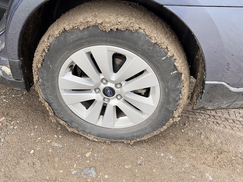
We left Deb’s car at the campsite and piled into my Outback to head over to the nearby Clarno Unit of the John Day Fossil Beds National Monument. We headed up Indian Canyon on an unofficial user trail. We had blue skies and sunshine at the beginning:

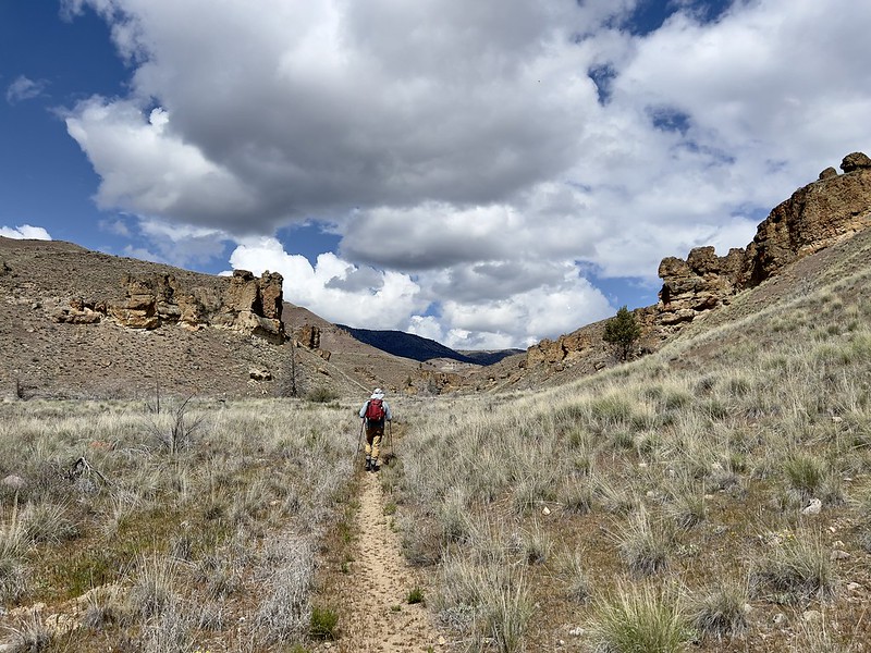
The rock formations above us were pretty cool:
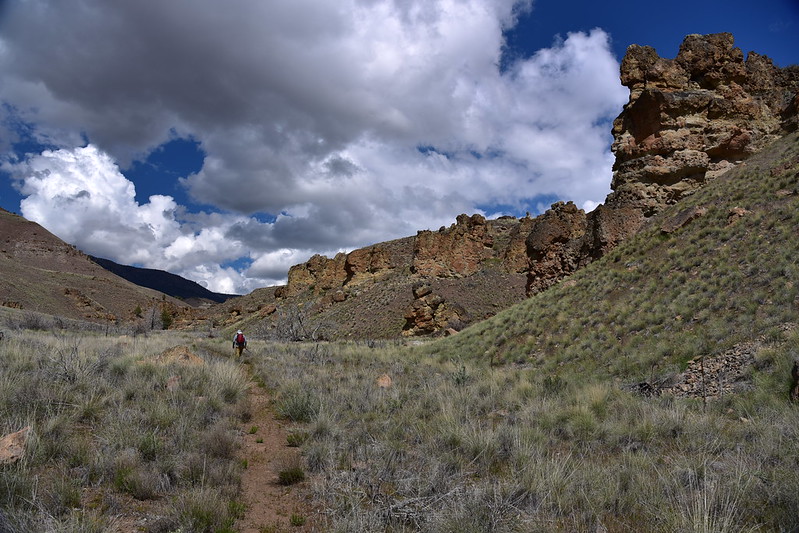

At 0.3 miles we crossed a dry streambed where a footbridge had washed out at some point. We were surprised there had been a footbridge here since the trail is unofficial:

This is where the footbridge was. I’m standing where one end rested, and you can see the footing where the other side rested. Must have been quite a torrent of water to upend that thing:

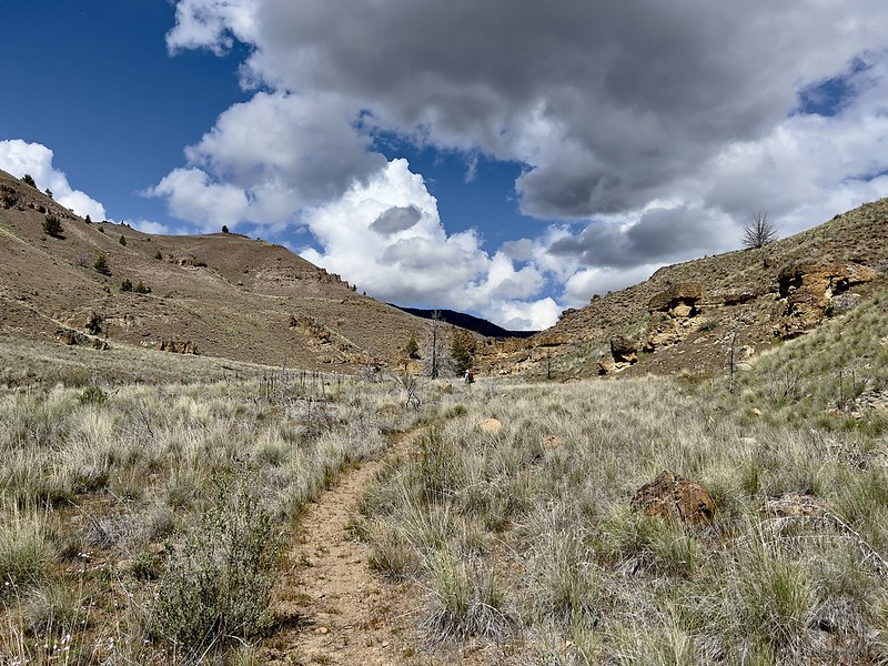
We continued up the canyon:


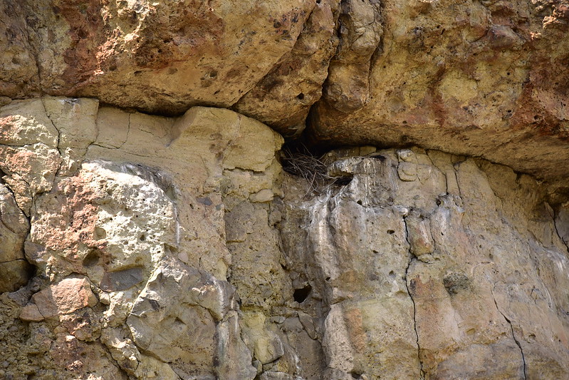
Deb spotted a nest in the cliff face:
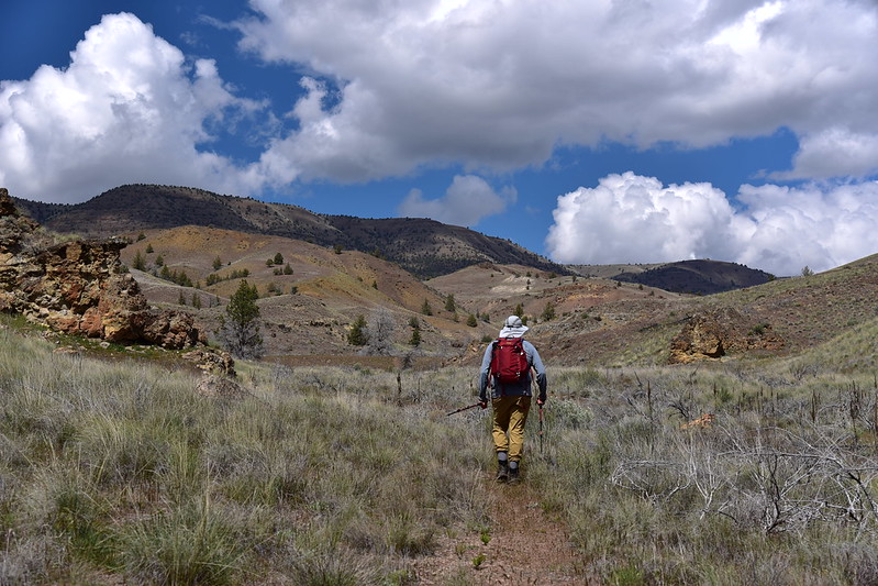

Greg thought this rock looked like a finger so I made him demonstrate:


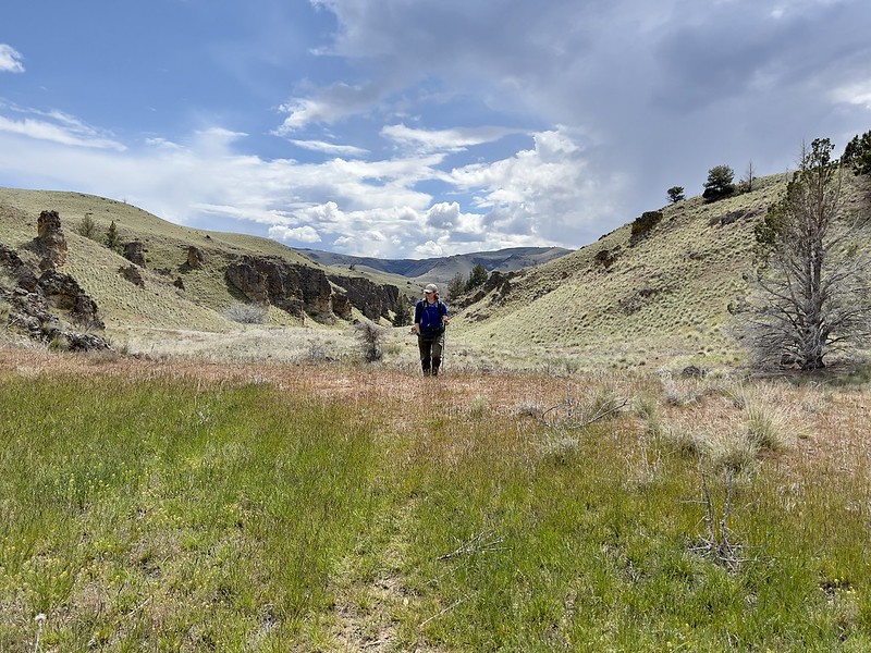
The trail became fainter, which wasn’t a big deal in this wide-open country. These trails showed up on the Outdoors layer of our Gaia apps so we knew when we reached the junction with the Hancock Pictograph Trail, even though we didn’t initially see it. After a bit of cross-country we picked up the faint path heading uphill:
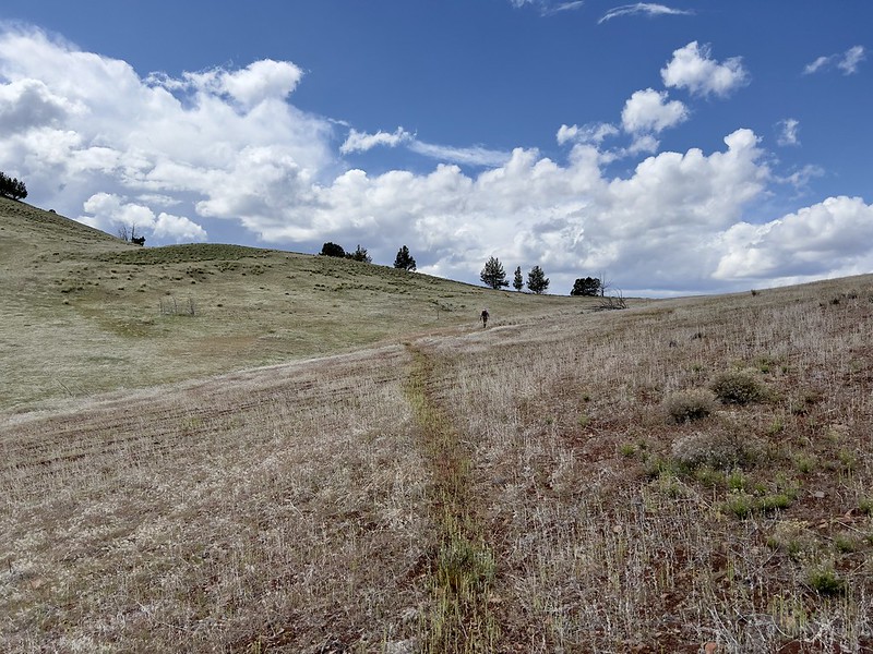
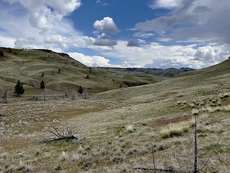

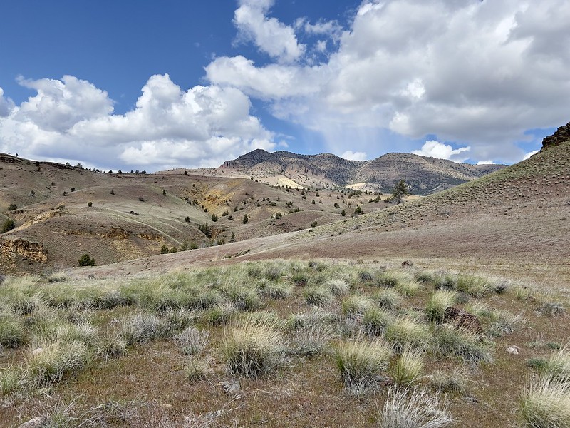
The trail topped out on a rise and we could see ominous-looking rain to the west. We had zero signal out here and no way to check the radar to see if it was headed our way. So we just continued on:

This is a type of Castilleja, also known as paintbrush:

Deb and Greg often got out their plant apps to identify flowers we saw:

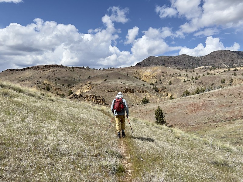


1.5 miles from the trailhead we reached a junction with the Geo Loop Trail, which was a wide freeway of a trail compared to the faint path we had been following. Going left would have taken us to Hancock Field Station. We turned right:

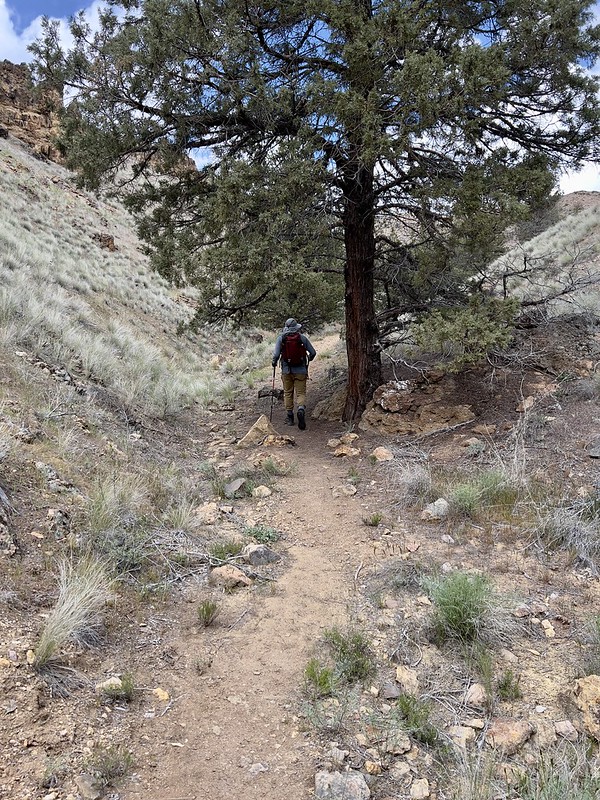

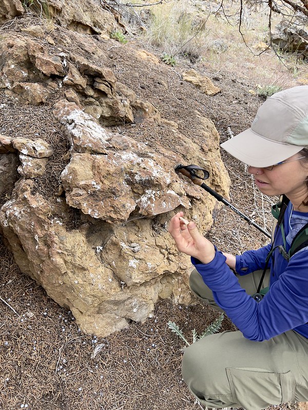
Deb spotted this trailside spot where an owl had clearly hung out at one point. There was poop, owl pellets, and bones on a rock beneath a tree:


After 0.3 miles on the Geo Loop Trail, we turned right onto the Indian Canyon Loop Trail:

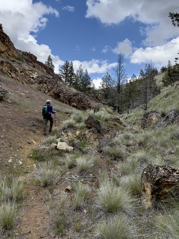


That rain squall didn’t hit us, but we could see more rain in the distance so we knew we still had a chance of getting wet:
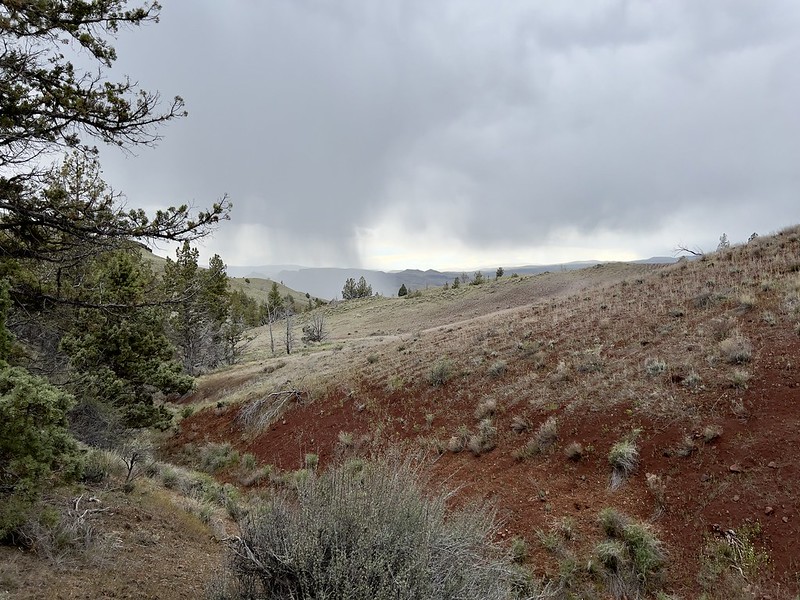
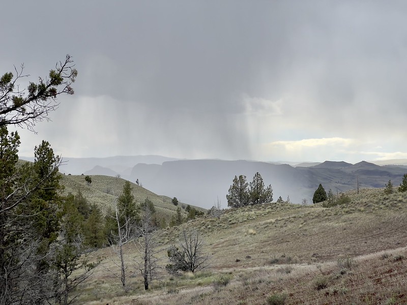
Deb spotted a mountain bluebird:


The Indian Canyon Loop Trail swung back around to head south. By now the skies were gray and overcast:

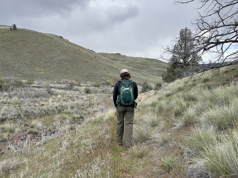
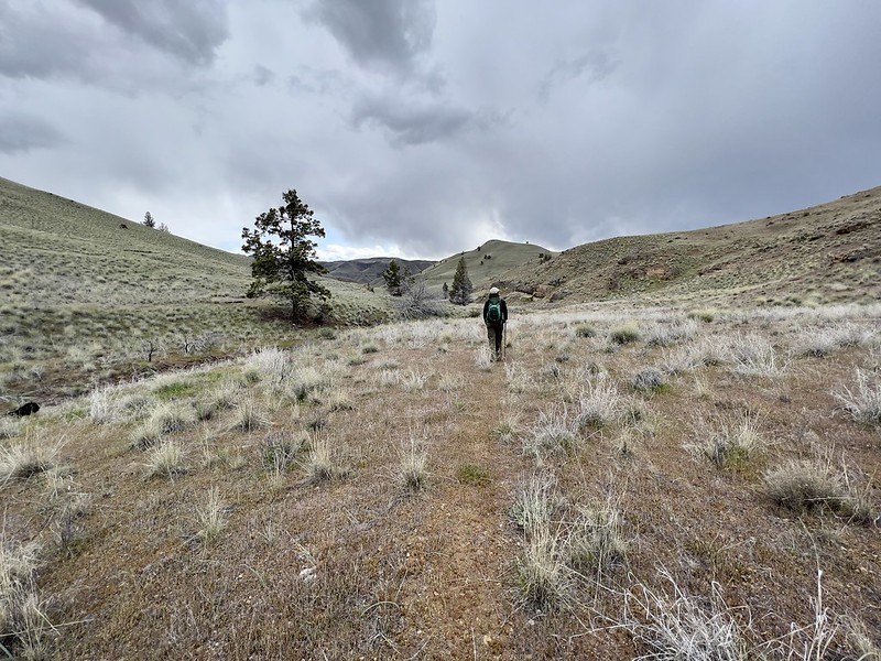
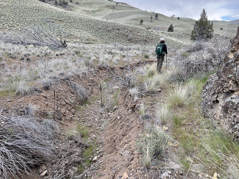
We passed this deep trench carved by some flash flood, no doubt. It was bone dry now:
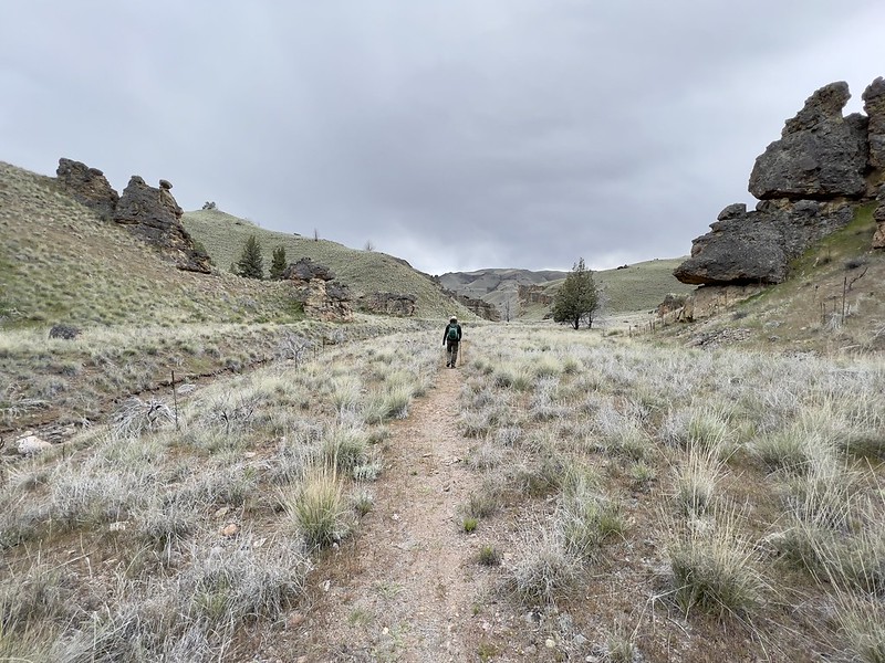
We never did get rained on! And as we neared the trailhead the clouds broke up and the sun came back out:

This was a really pleasant afternoon outing! We didn’t see anyone the whole time. Gaia stats: 4.3 miles, 610 feet elevation gain.
These are all the birds Deb saw or heard on our hike: California quail (calling), ring-necked pheasant (calling), chukar, red-tailed hawks, American kestrel, common ravens, ruby-crowned kinglets, European starling, mountain bluebird, American robin, white-crowned sparrows, western meadowlarks all along trail, group of finches
We saw a wild turkey not far from our campsite as we came back, but didn’t get a photo. I did get a photo of the osprey hanging out near our site:


And a kestrel:

Blue skies!
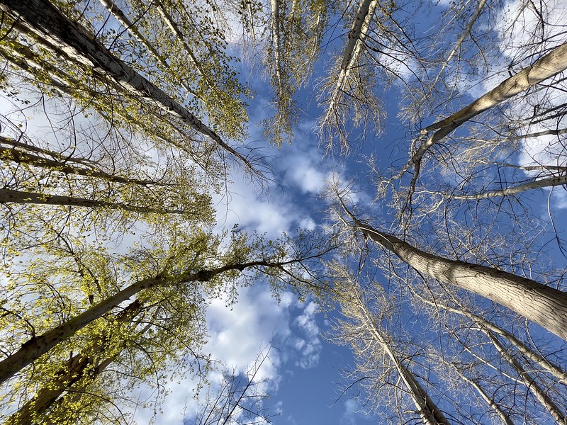
This is what Deb observed at our campsite Canada geese, mallards, turkey vulture, osprey, downy woodpecker, western kingbird, European starlings, white-crowned sparrows, western meadowlarks, red-winged blackbirds, male pheasant, kestrels, flicker, and robin.
