April 28, 2017
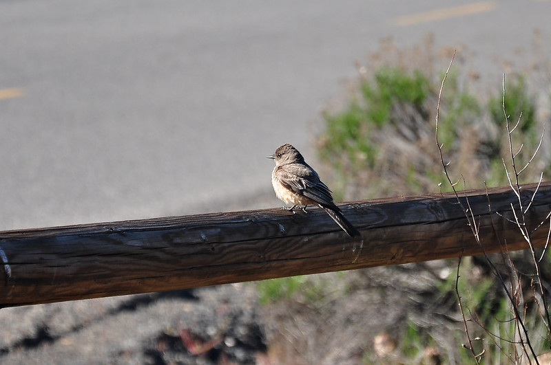
Today we hiked up Steamboat Rock. Since we were camped in the campground there, we just sauntered through the park over to the trailhead. This little bird (a say’s phoebe) greeted us at the trailhead sign.
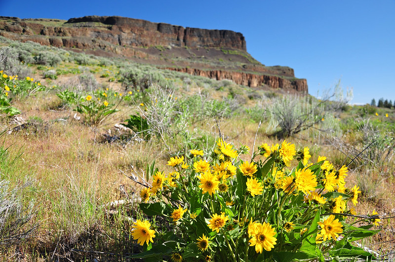
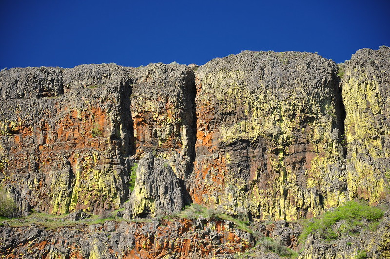
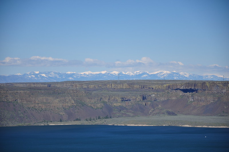
The rock formation known as Steamboat Rock was formed between 10 and 15 million years ago as basalt flows covered most of Eastern Washington. Glaciers arrived more than 100,000 years ago. The current shape of the rock was created during repeated flooding from glacial Lake Missoula between 12,500 and 18,000 years ago. The durable rock withstood the floods and now rises above the waters of Banks Lake, a huge 27-mile-long 26,886- acre reservoir.
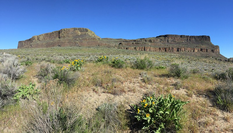
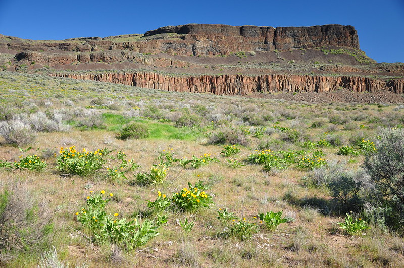
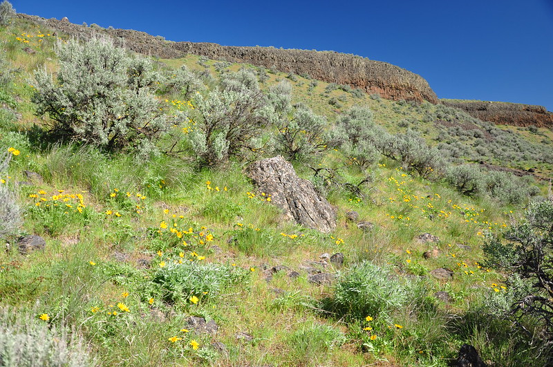
As we hiked the stretch between the campground and the base of the rock, we were pleasantly surprised to find that balsamroot was blooming.
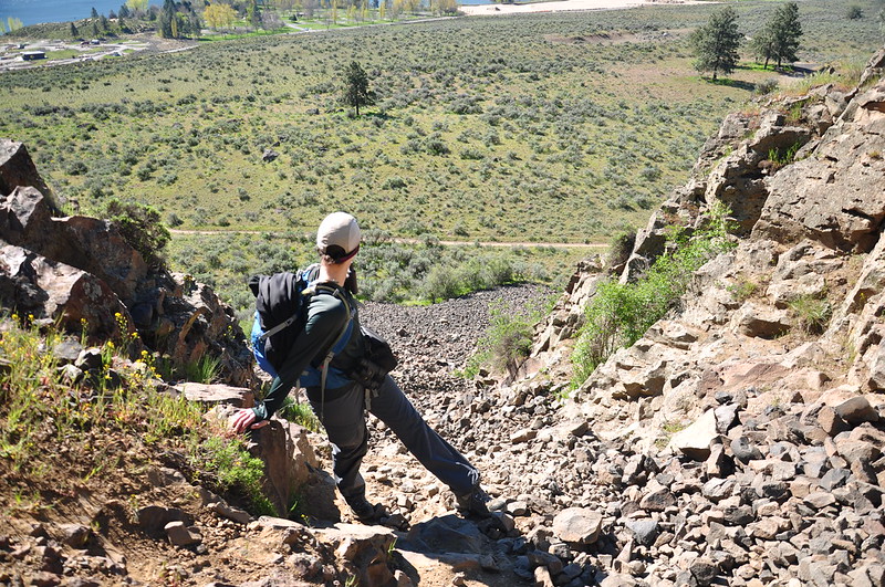
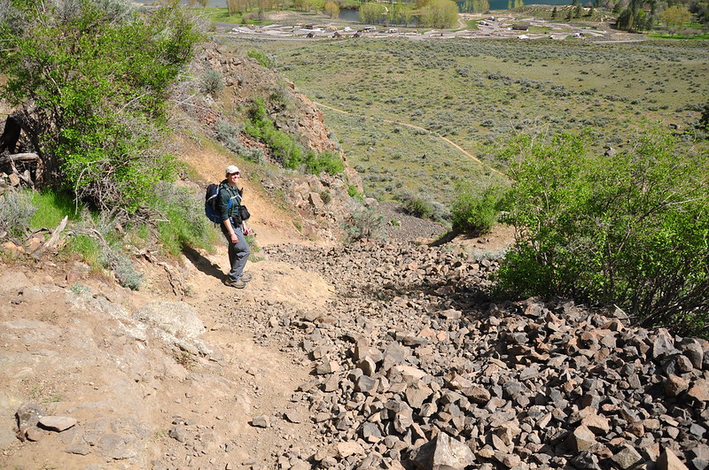
The first short stretch of trail is a bit of a scramble:
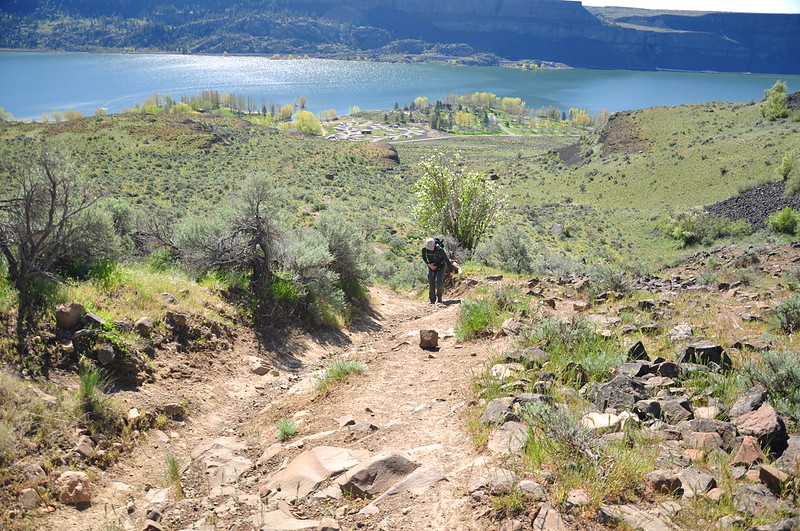
Then it becomes more trail-like, although a bit worn away from erosion:
We saw a raven flying in and out of the crack in this wall and through the binoculars we could see a nest back in there, which of course doesn’t show up in this photo:
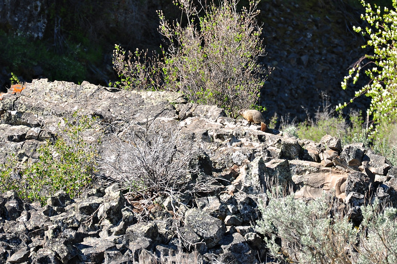
Marmot!
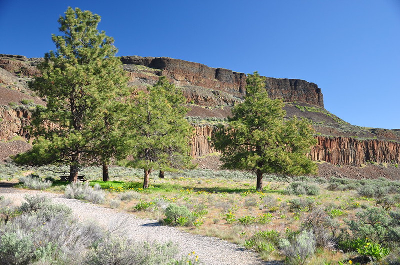
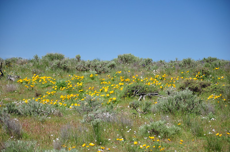
As we approached the flat top of the rock, we started passing more wildflowers.
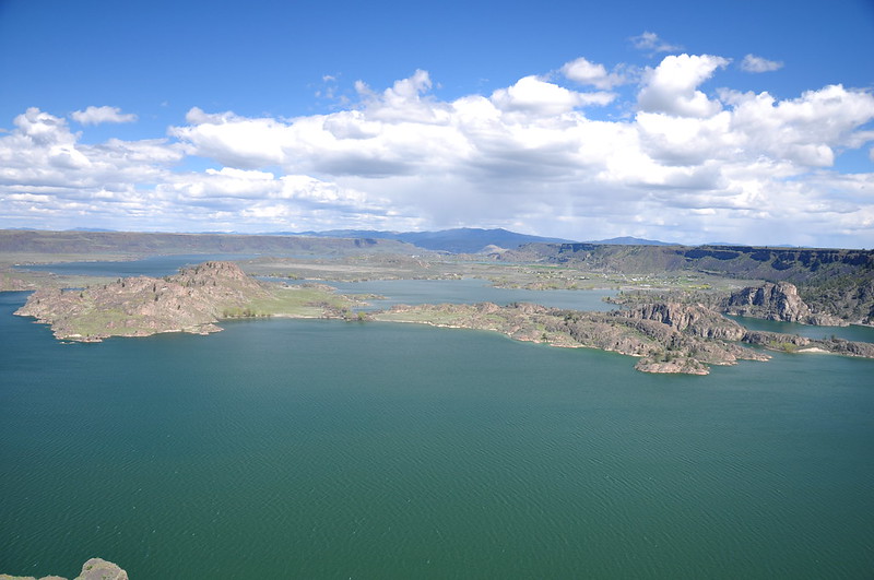
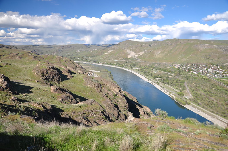
Looking west over Banks Lake to the snow Cascade Mountains:
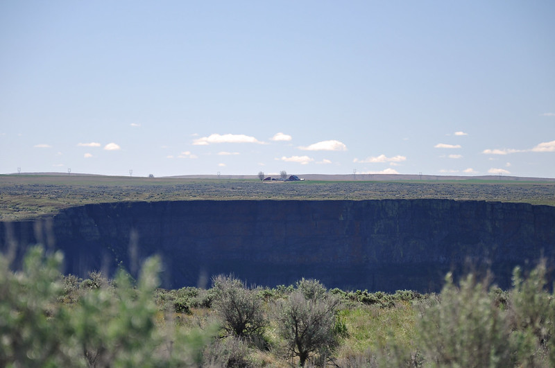
Looking the other direction at a lonely homestead on the big desolate plateau. It would be hard to live here.
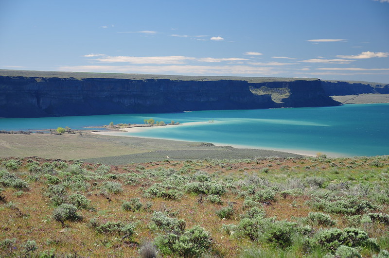
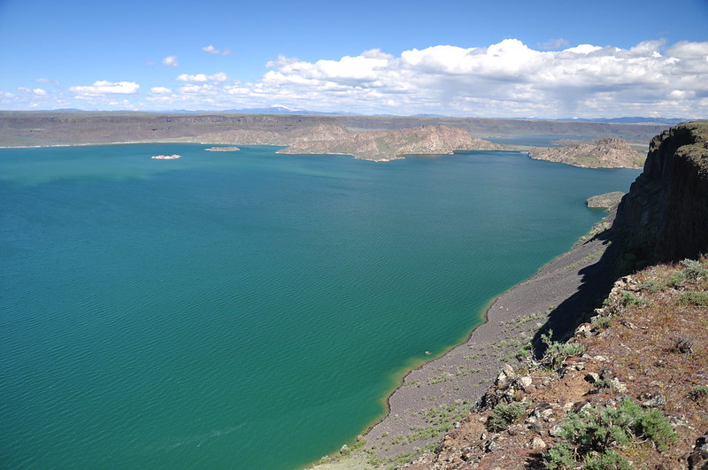
The water this section of Banks Lake was aquamarine. Beautiful!
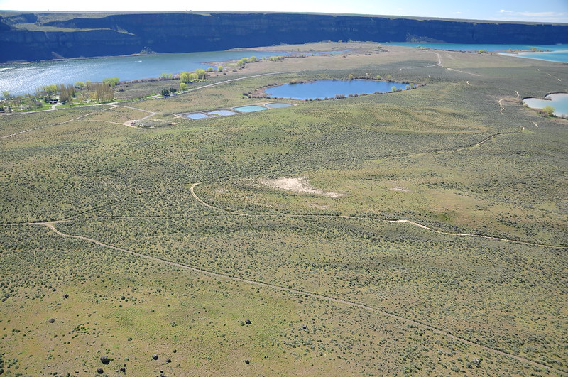
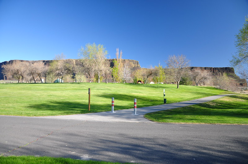
The state park stretched out below us. You can see part of the campground at upper left:
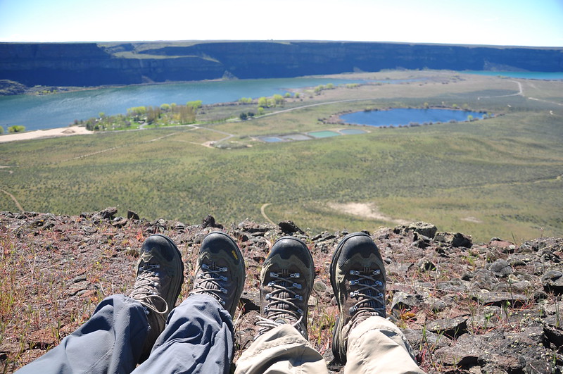
We found a nice spot to sit and enjoy the view and the sunshine and just hang out for awhile. It’s been a miserable wet gray winter in Portland and we felt very sun-deprived. It felt fabulous to just lay here soaking up the sun, which felt SO good:
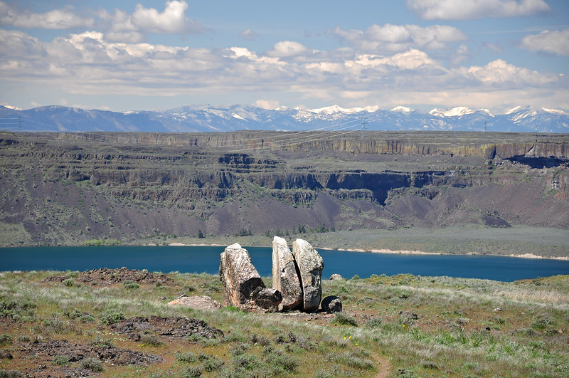
Steamboat Rock is kind of divided into two areas. After wandering around on one part we headed over to the other part. Found this cool boulder, which I assume is a glacial erratic, that had split into pieces. The snowy Cascades are in the distance:
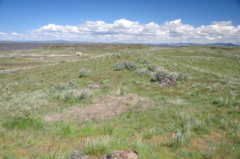
Looking out over the grassy top of Steamboat Rock:
Exploring:
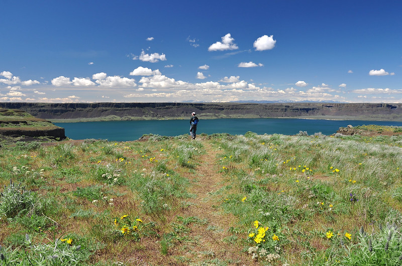
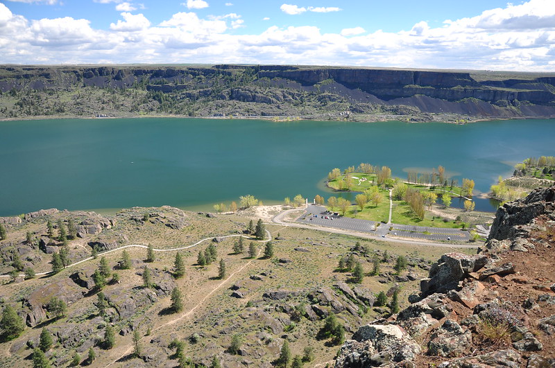
We followed the trail north along the rim of the rock, with a view out over the blue-green waters of Banks Lake:
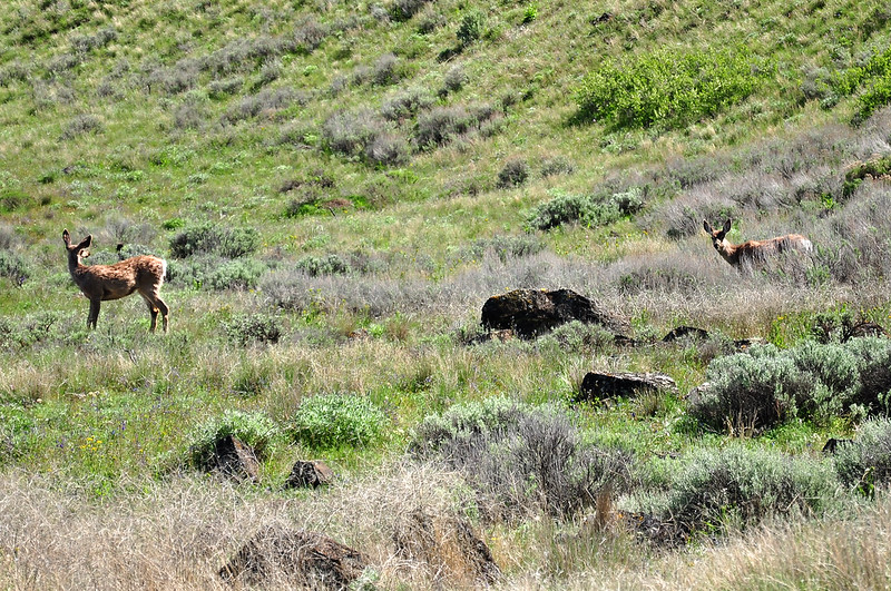
Spotted these two deer:
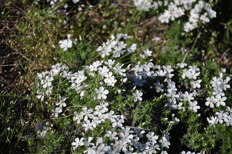
We continued to see wildflowers, including these phlox:
From the north end of the rock we could look north out over Banks Lake and these crazy rock formations:
As the trail circled around and headed back down to the descent path, we could see east into the mouth of Northrup Canyon, where we would be hiking the next day:
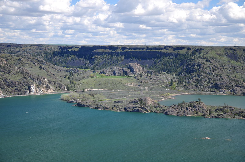
Looking down on part of the campground:
Descending the “trail”:
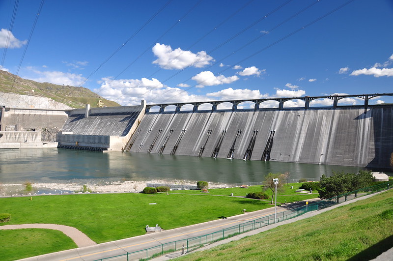
After a snack back at our campsite we decided to drive north and check out the Grand Coulee Dam. They have an excellent visitor’s center there that we explored. Some fun facts:
- The dam began operating in 1942 and is one of the largest concrete structures in the world.
- The dam is a mile long and contains almost 12 million cubic yards of concrete. It weighs 24 million tons.
- Franklin D. Roosevelt Lake – the reservoir behind the dam – stretches for 151 miles, all the way to the Canadian border.
- A total of 152 million hours went into this public works project.
- Surveyors had to identify the best location for the dam and the resulting reservoir, identifying land that would be flooded and mapping out lands that would be irrigated. Over one million acres were surveyed for this project.
Here is a view of the dam from the visitor’s center:
We also drove to a nearby viewpoint called Crown Point State Park, which provided a nice view of the dam:
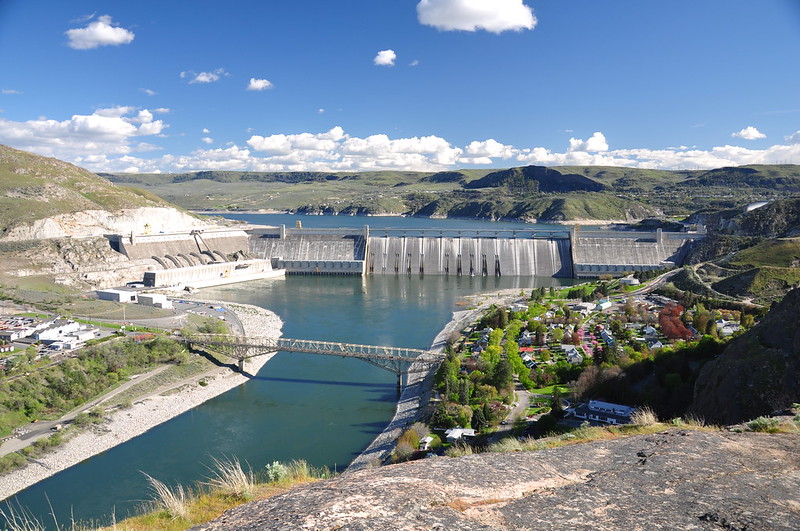
Looking north from the viewpoint. This is the downstream side of the dam:
A full and busy day! It was nice to relax at our campsite that evening:
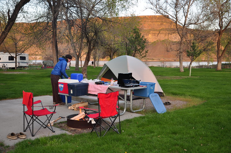
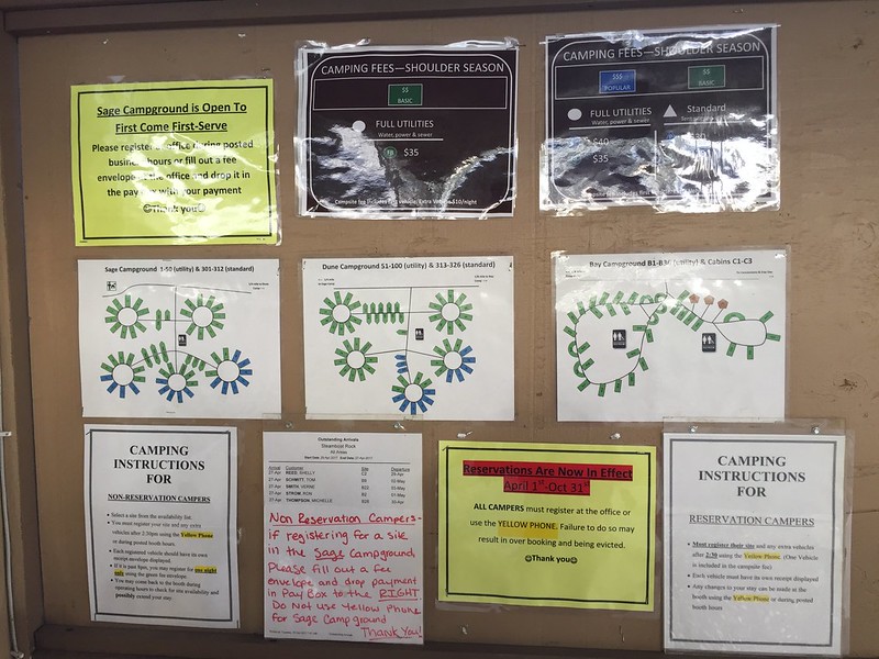
A word about the campground at Steamboat Rock State Park. It’s actually pretty nice. They irrigate the heck out of the place, so it was really green (don’t know how it looks later in summer, though). There are trees for shade and you can see the rock from most spots. It’s quite pleasant.
However, this is the information signboard that campers are greeted with when they arrive. What a hot mess! f you need 10 signs to instruct campers on what to do and where to go, you’re doing it wrong: