On Thursday we got up at 5am, broke camp at Hells Canyon Camp, and hit the road. We really enjoyed our stay at that campground. Maybe it’s a different story on the weekend, but it was pleasant and quiet mid-week. They had flush toilets and showers and we even discovered they had a wi-fi hot spot, which was a big surprise.
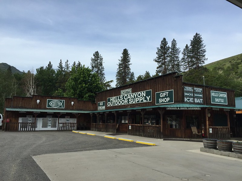
We stopped at a little store and gas station and when the guy found out where we were headed he told us to watch out for wolves. “That Imnaha Pack is aggressive,” he warned.
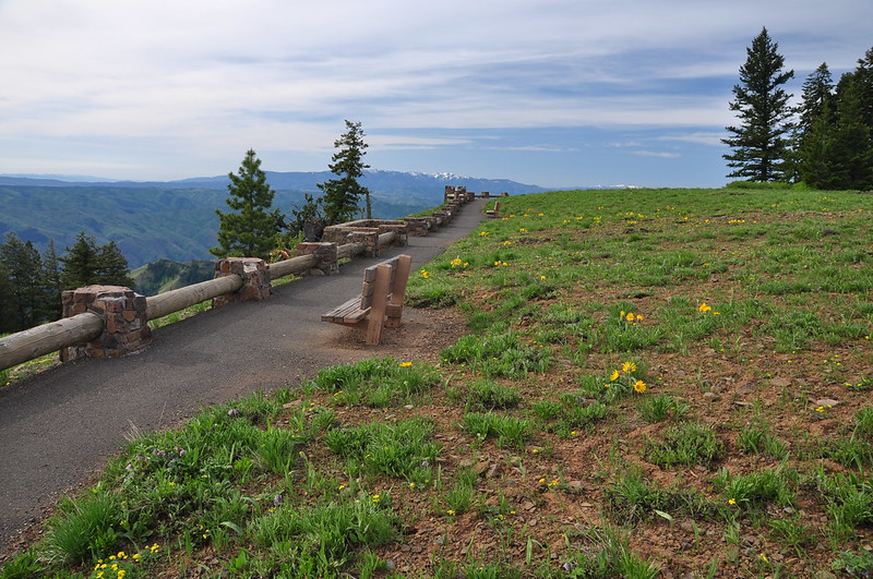
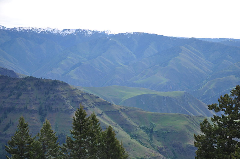
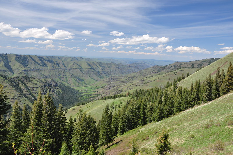
We headed north on Road 39 and passed a lot of trees and branches along the side of the road. Looks like they had quite a mess to clean up after the winter. With the cleared trees and no snow, it was smooth sailing. We took a short detour up to the Hells Canyon Overlook. Unfortunately it was a cloudy day, but we could still see the views.
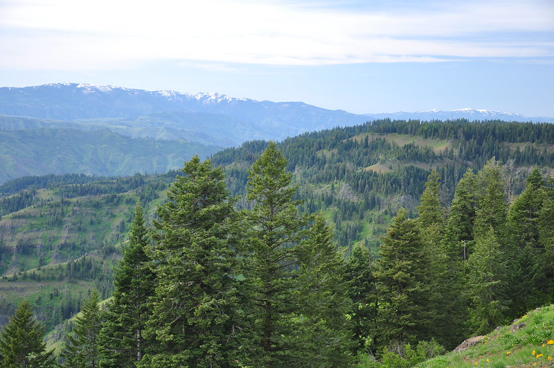
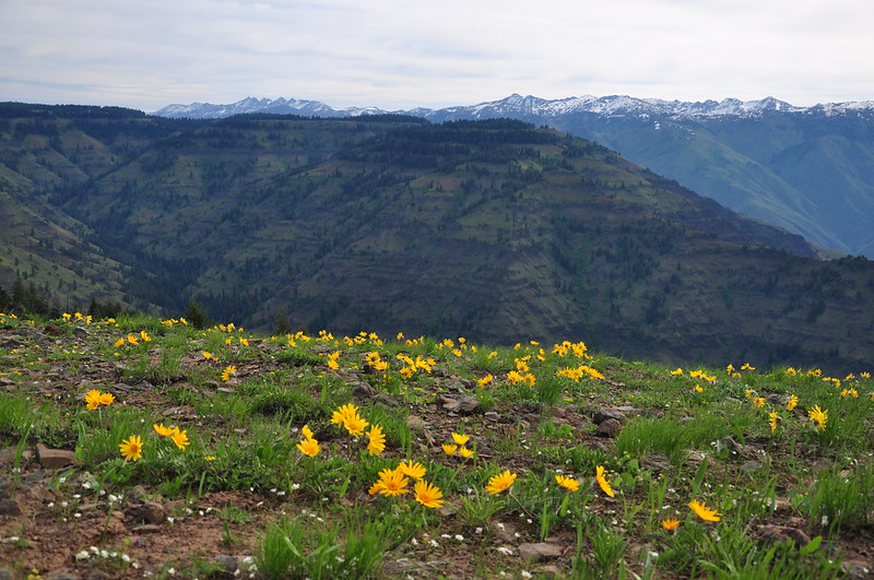
Looking across to the Idaho side of Hells Canyon:
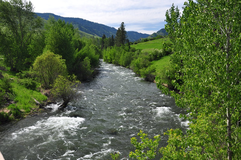
From Road 39 we picked up Upper Imnaha Road (County Road 727). This turned out to be quite a scenic stretch of road. There are farms and ranches all along the canyon, so it’s not exactly wild, but the hills were green and the river was gushing with snowmelt.
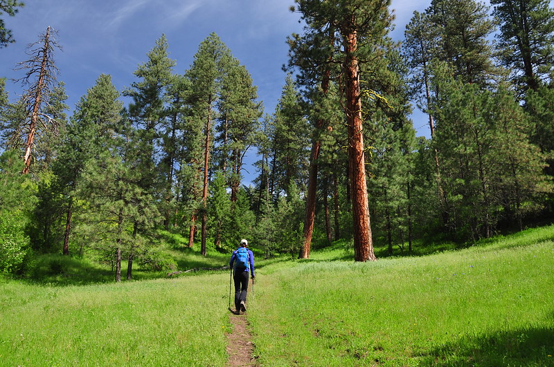
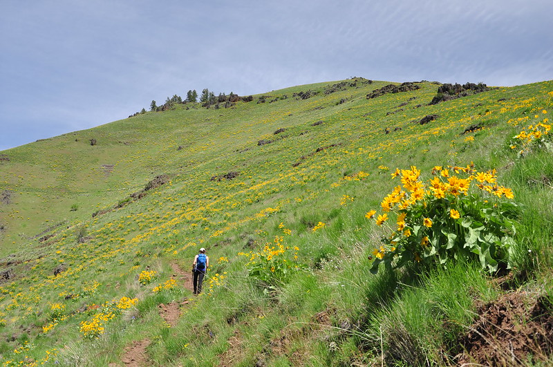
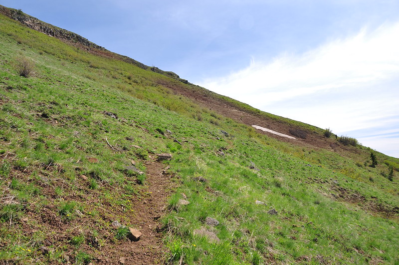
We reached the trailhead at 10:20 and hit the trail at 10:45.
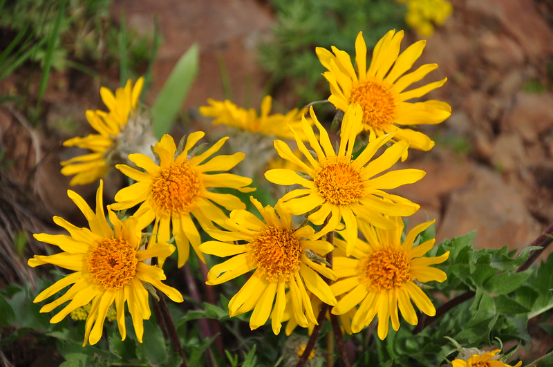
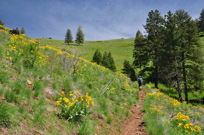
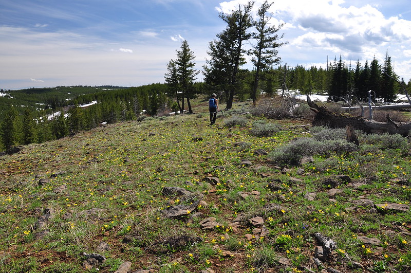
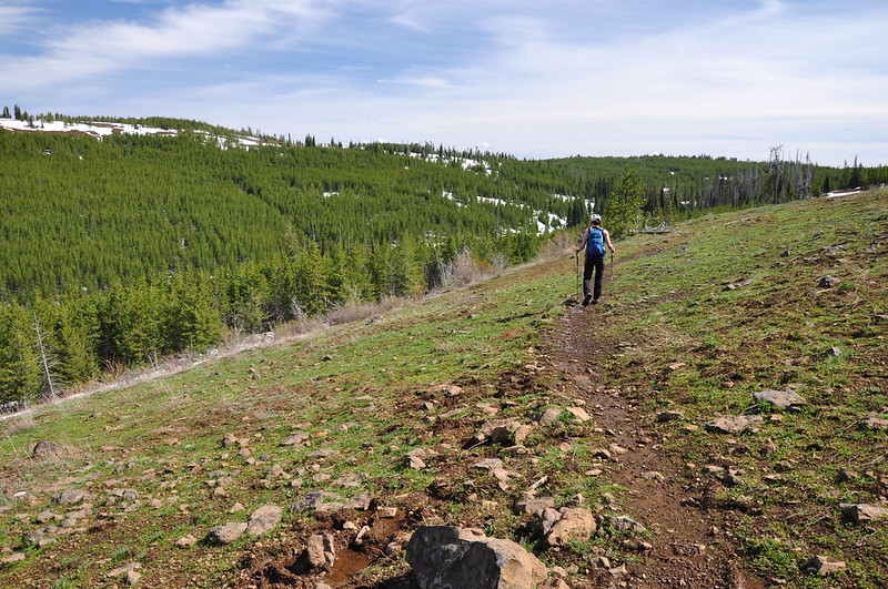
This is definitely the perfect time of year to do this hike. The grass was green and the flowers were in bloom! Hiking Hells Canyon & Idaho’s Seven Devils Mountains mentions a junction with the old trail and that we should bear right on the “reconstructed trail.” I guess it’s been long enough that this old route is no longer visible and we never saw the junction. The topo map and our GPS still had the old route, even though it was apparently decommissioned more than 15 years ago.
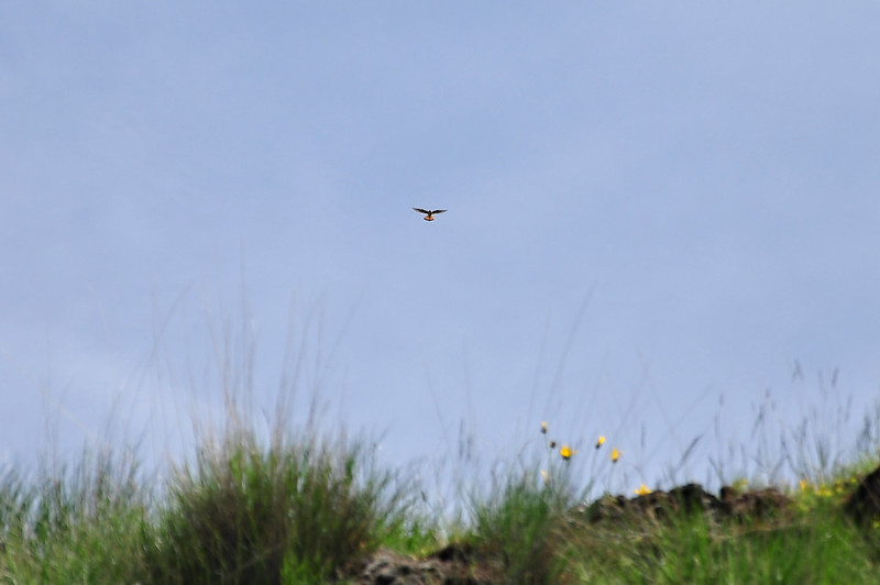
We saw a kestrel hovering overhead:
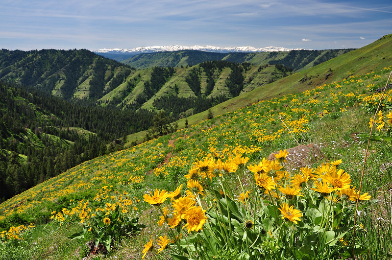
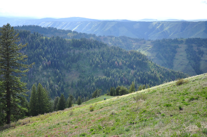
We reached Freezeout Saddle 3.5 miles later at 12:40. The views were pretty awesome. A panorama of the Wallowa Mountains:
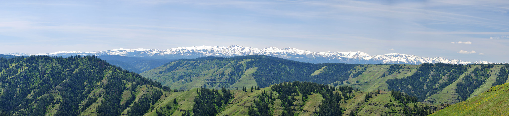
Another shot of the Wallowas, including the trail we just hiked to get up here:
Looking down the drainage of Saddle Creek:
The trail we hiked up continued down the other side and along that Saddle Creek drainage all the way to the Snake River. We had earlier passed a backpacker on his way back to the trailhead. He had hiked down that trail to the river and said it was pretty overgrown and brushy. Just that morning he had nearly stepped on a rattlesnake that he couldn’t see because of all the brush. Yikes.
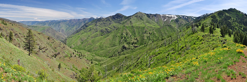
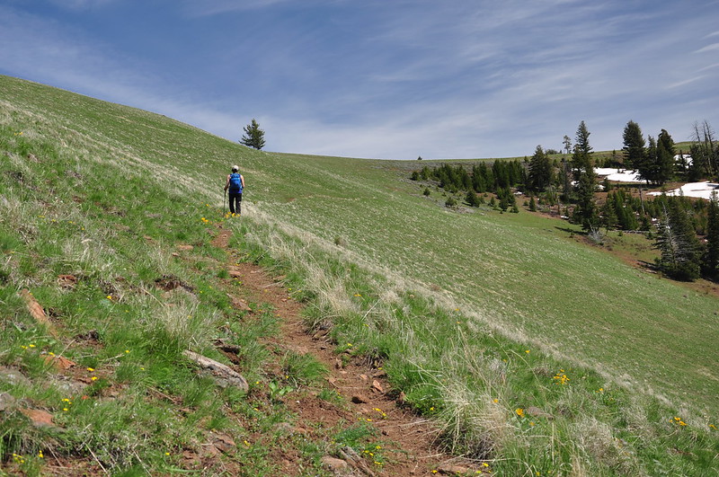
From the saddle we headed south along Summit Ridge on the Western Rim National Recreation Trail, which would soon traverse that forested slope ahead:
Then we traversed several bunchgrass meadows:
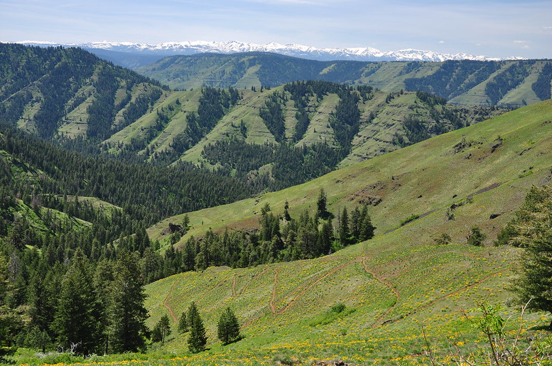
Looking northwest down into the Imnaha River Canyon:
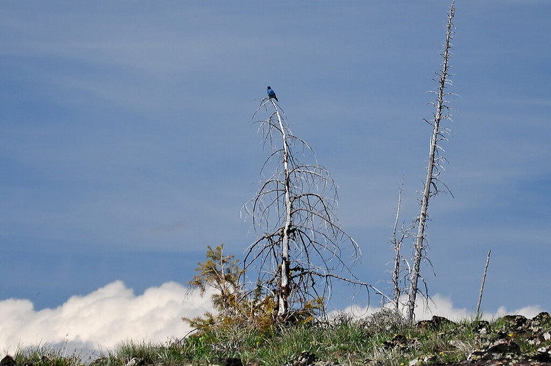
We saw plenty of birds, including this beautiful blue guy:
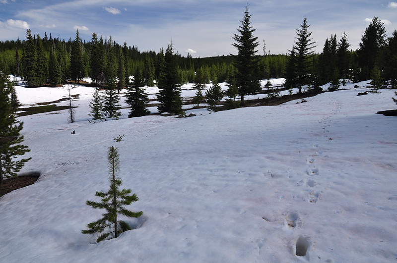
The trail was steadily gaining elevation and we finally got high enough that we hit snow:
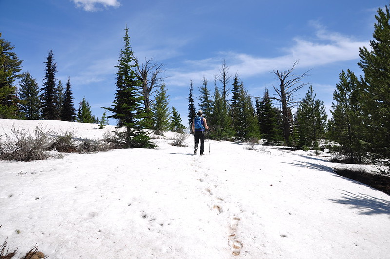
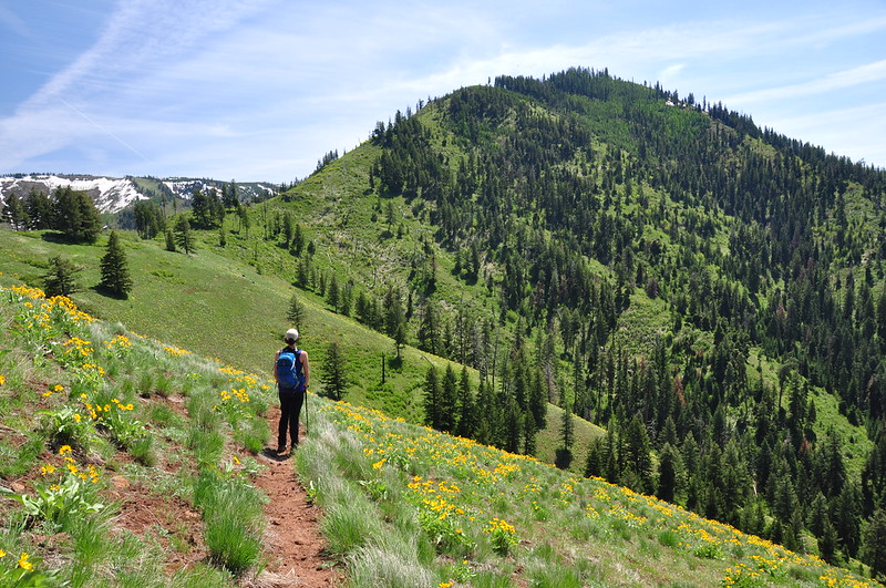
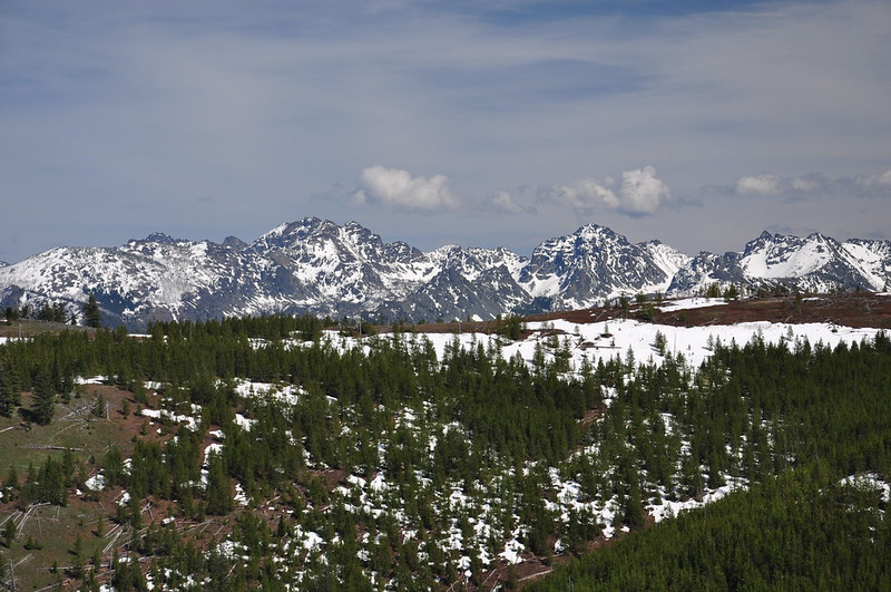
We lost the trail under the snow but we navigated in the general direction we were supposed to go. We crested Summit Ridge and got a good view of the Seven Devils to the east:
Where the snow had melted the glacier lilies were blooming:
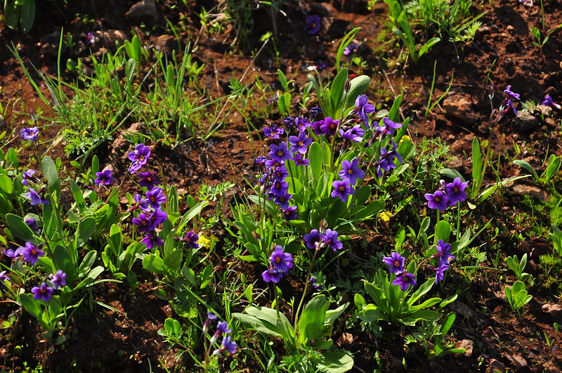
Not sure what these are, but they were blooming too:
We finally picked up the trail again where it crossed over to traverse the east side of the ridge:
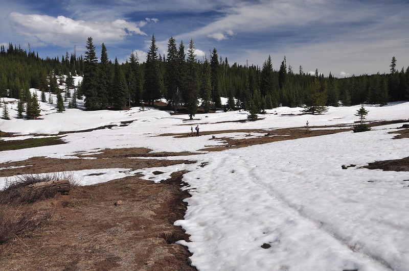
We soon hit snow again:
We found our trail junction in a big snowy meadow. A left would have taken us to Bear Mountain and Black Mountain. We turned right to head to Mark’s Cabin:

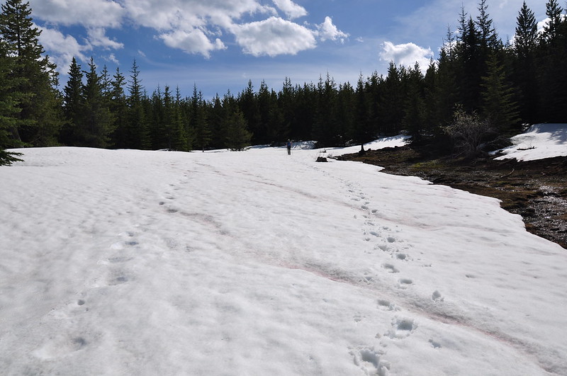
More snow. I was getting pretty tired by this point, even though we had many more miles before we reached the trailhead:
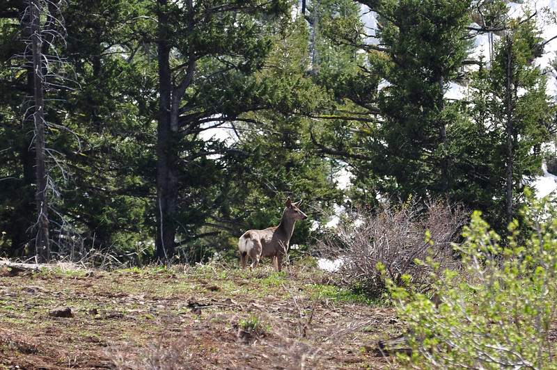
We saw a deer:
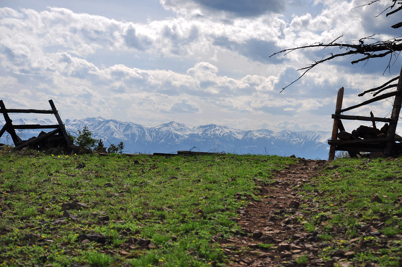
We found and lost the trail a few more times before finally losing enough elevation to leave the snow behind. Just before reaching Mark’s Cabin we had this nice view of the Wallowas framed by a fence:
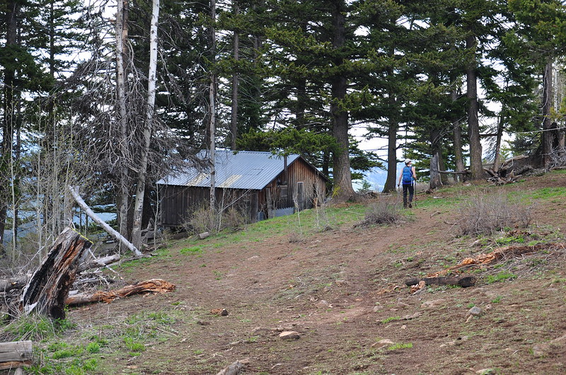
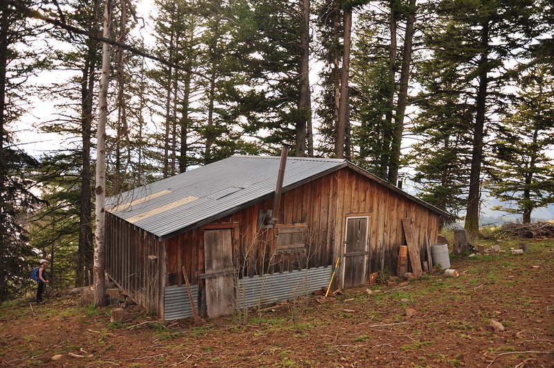
The trail passes a place called Mark’s Cabin, a cowboy cabin that wasn’t being used when we visited:
Shortly past the cabin we should have hit a junction where we picked up the Freezeout Creek Trail, which starts zigzagging downhill back to the trailhead. But the trail was faint and every time we hit a meadow we lost it, so we somehow missed this junction and didn’t realize it right away. We consulted the GPS, cut across this pasture (yes, it’s federal land, but cattle graze here), then headed straight downhill through the steep pasture to pick up the trail far below. That’s Deb way below me:
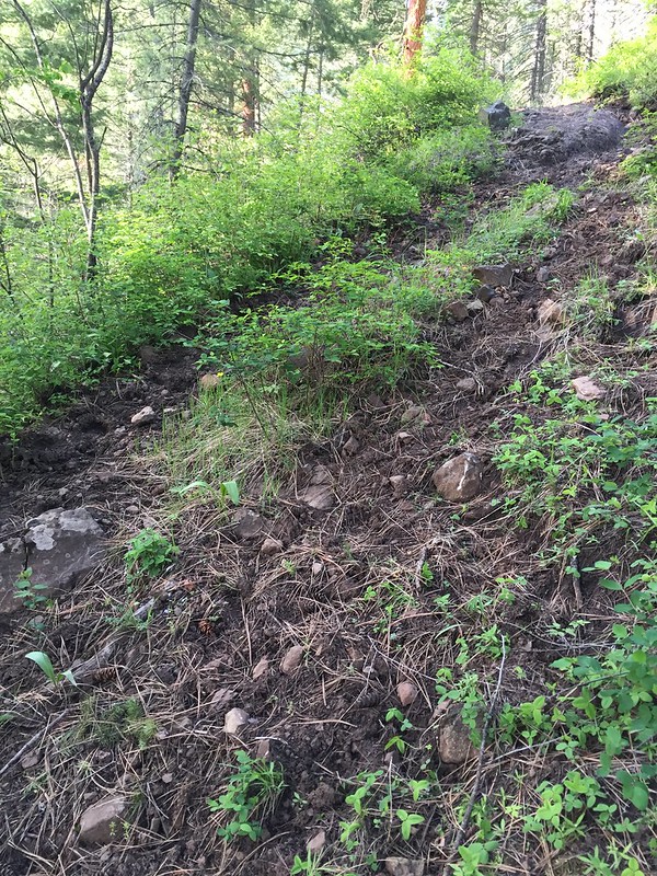
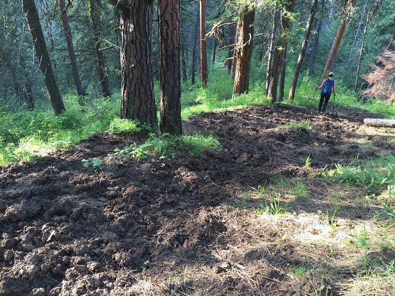
Throughout the whole hike we had seen evidence of horses. It looked to me like horses had come through during the mud season, because the trails we’d been on so far had dried into a hard-packed but uneven tread that contained many horse hoof prints. But this last stretch of trail took the cake. It was in an appalling condition and been so badly churned up by horses that it was practically un-hikeable. Unlike the earlier part of the hike this part had not hardened and it was loose and crumbly.


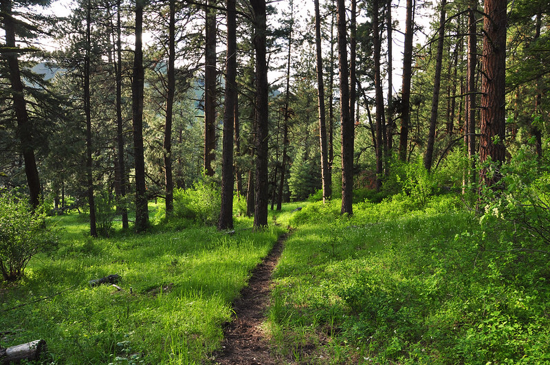
I was getting really tired by this point which was unfortunate because the last couple miles were rather lovely, with lush grass and majestic ponderosas. I didn’t have the energy to take photos, except this one:
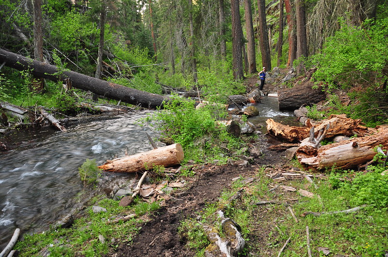
Just before getting back to the trailhead the trail got close to the creek, which was running so high that it had covered the trail. That water between me and Deb? That’s where the trail is. We had to clamber up the bank to get around it:
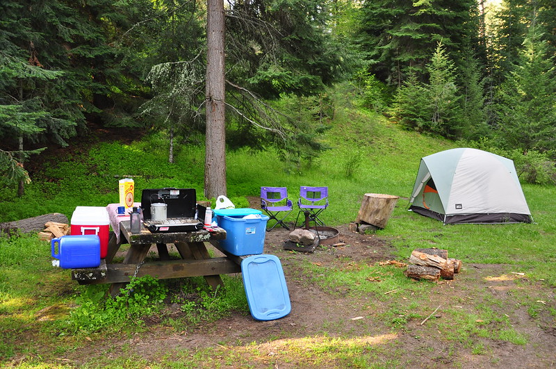
Boy was I glad to get back to the trailhead. It was just before 7pm. There was one picnic table and fire ring and we claimed it and started setting up camp and making dinner.
Our stats for the day: 9 hours, 12.4 miles and 4,000′ elevation gain.

Neither of us were able to stay up very late. We were both pretty beat after the long hike!


