Greg and I headed out to the Detroit Lake area on Friday and grabbed a campsite at the Riverside Campground, about 20 minutes past Detroit. Marion Forks CG was all full, and Riverside now accepts reservations so most of those sites were taken as well. We managed to snag the last spot by the river, where we set up our tent before heading off to hike.
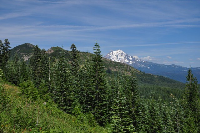
Our first stop was Bachelor Mountain (map). From the trailhead we had a nice view of neighboring Coffin Mountain, which was our next hike.
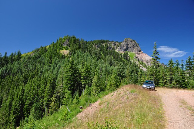
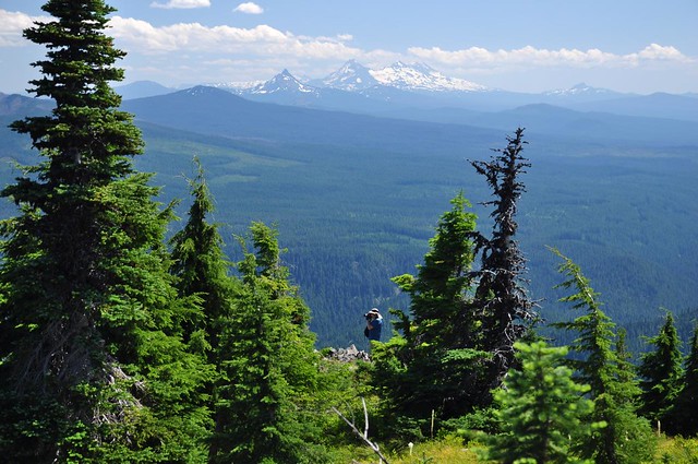
We hit the trail about 12:45 under gorgeous blue skies. Less than a mile into the hike we hit a meadow with views of the Three Sisters (no photo) and the meadows on Coffin Mountain.
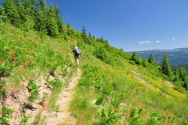
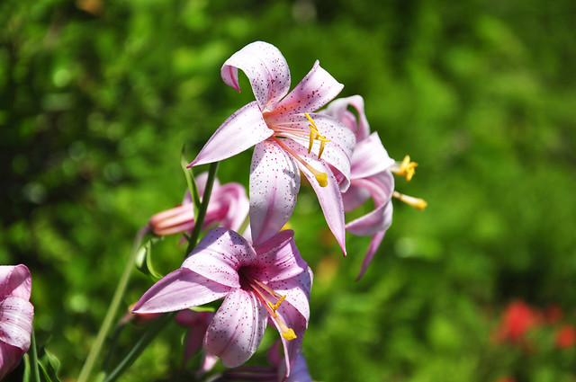
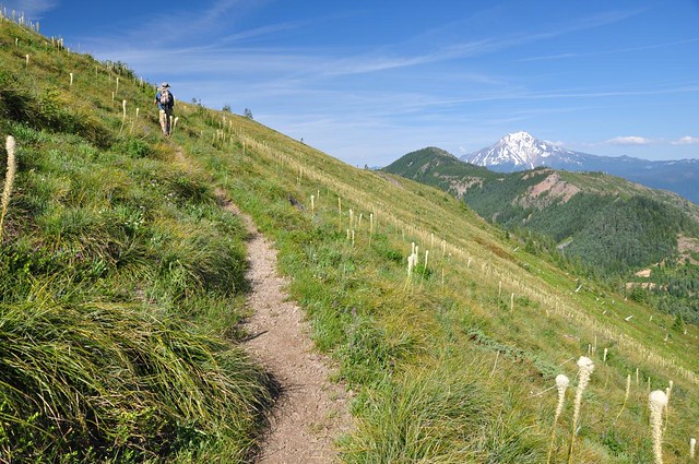
We ate lunch in the shade at the edge of the meadow, watching hummingbirds and butterflies frolic amongst the wildflowers, before moving on. The trail made a long traverse along the side of the hill, and we started getting a peek at Mt. Jefferson.
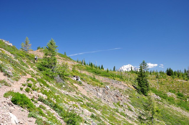
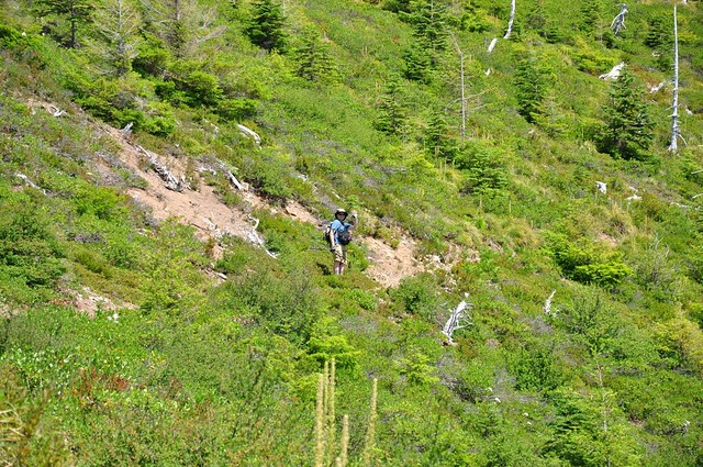
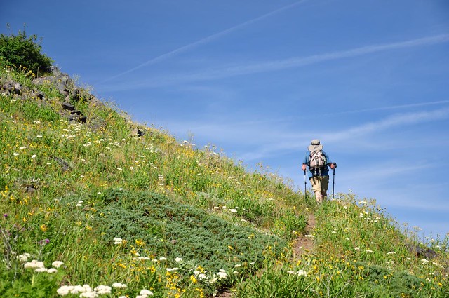
Zoomed-in on Greg far ahead of me.
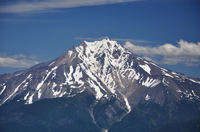
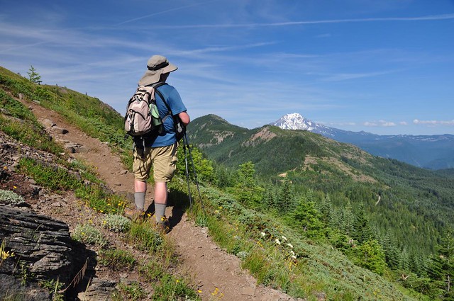
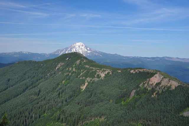
Better and better views of Mt. Jefferson. Oooh, ahh!
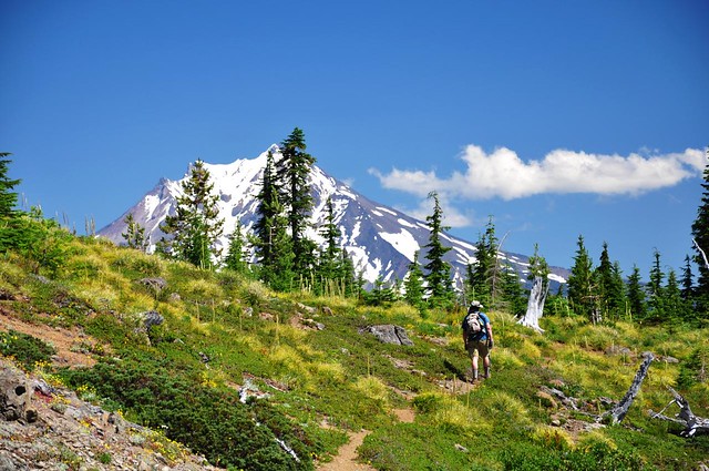
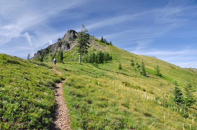
And then we views of the peak of Bachelor Mountain, which we hadn’t been able to see before.
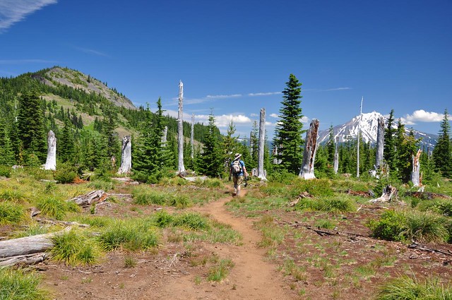
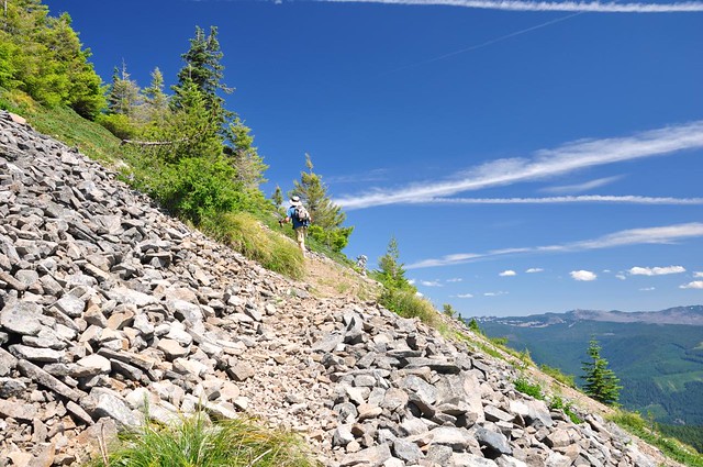
After a flat stretch through the old Buck Mountain Burn from 1967, we re-entered the forest where there was a junction. Straight ahead goes to Bruno Meadows, but we headed left up to the peak, climbing up first through forest and then along rocky slopes. The views got better and better.
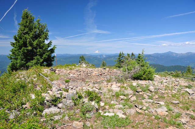
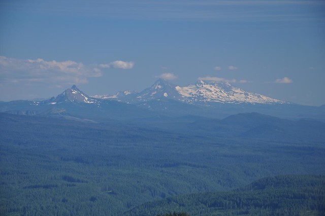
And then we were at the top, with AMAZING views all around us. Mt. Washington and The Three Sisters, along with flat, snowy Tam McArthur Rim (to the left of Mt. Washington):
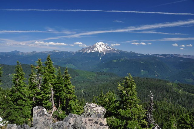
Mt. Jefferson:
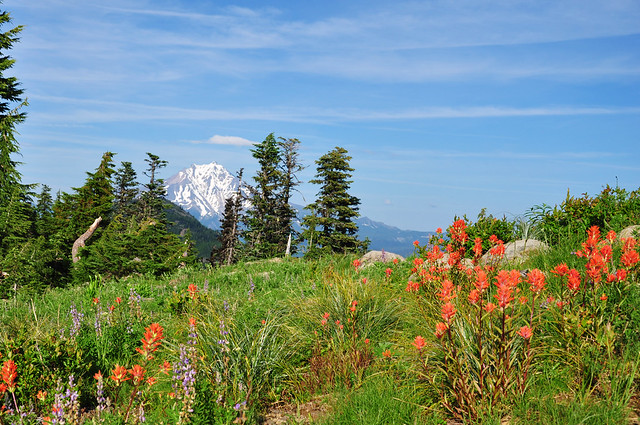
Mt. Rainier and Mt. Hood
Mt. Jefferson again:
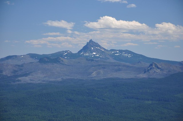
Three Fingered Jack:
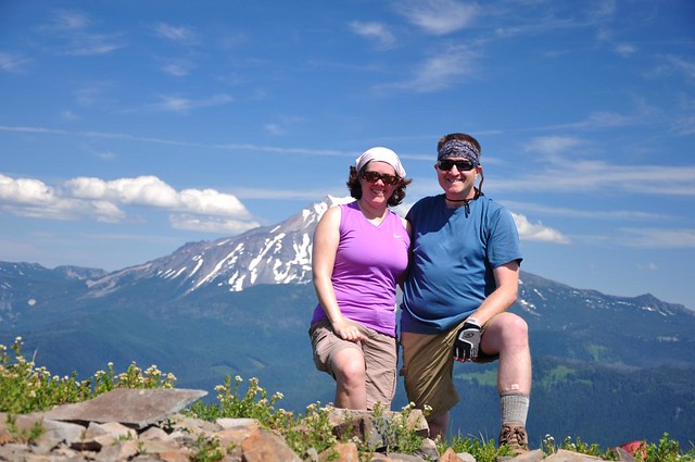
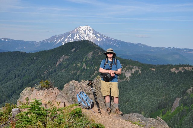
And us!
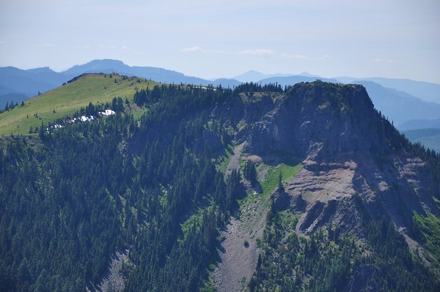
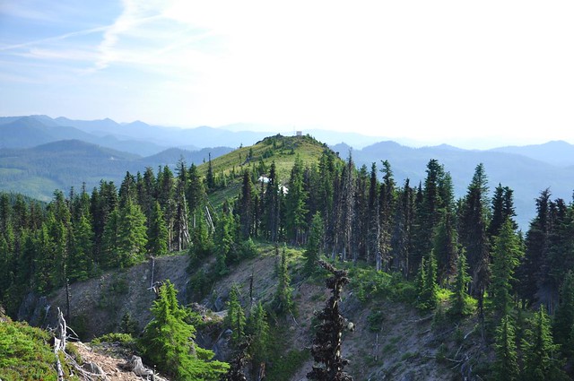
We could also see Coffin Mountain next door, and the little lookout at the top. It’s hard to see here, but it’s on the rocky bit on the right side of the photo.
We found the geocache, which had only been logged twice in the last 12 months. With Coffin Mountain still on the day’s agenda, we reluctantly headed back down. On the way down the mosquitoes made their presence known, and before the bug spray came out I got several bites that kept me awake with the most horrible itching on Saturday and Sunday nights.
We were back to the car at 3:50 and off to Coffin Mountain (map) to hike it as well. We hit the trail at 4:00.
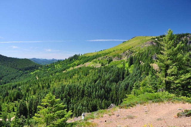
The trail immediately charges up the hill. At first the trail starts out in the forest, but soon enough we started having views of nearby Bachelor Mountain and Mt. Jefferson.
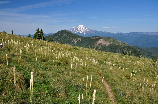
The trail levels out a little bit before climbing steeply again through the expansive meadows on the slopes of Coffin Mountain. The trail makes a few switchbacks in the meadows on its way up. And up. And up.
The enormous meadows that we hiked through were chock full of beargrass. Unfortunately, most it was WELL past peak. I bet it looked AWESOME about 2-3 weeks ago. Oh well.
(That is not the summit in the photo above, by the way. You can’t actually see the summit until the very end of the hike.)
For most of the hike, unfortunately, we could hear what sounded like logging operations less than a mile away. Sounds of heavy equipment and backup-beeping drifted through the forest to our ears. NOT the kinds of sounds you want to hear on such a pretty hike.
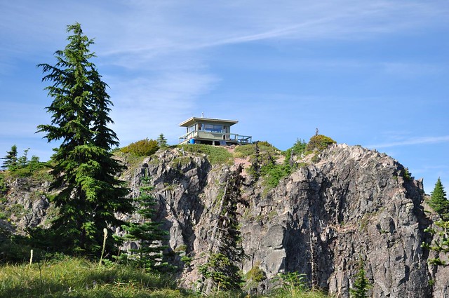
After a really tough and tiring climb (remember that we had already hiked up one peak that day), the trail finally leveled out on top of the mountain and we had a short hike through the trees before we emerged from the forest to finally see the summit and the fire lookout there.
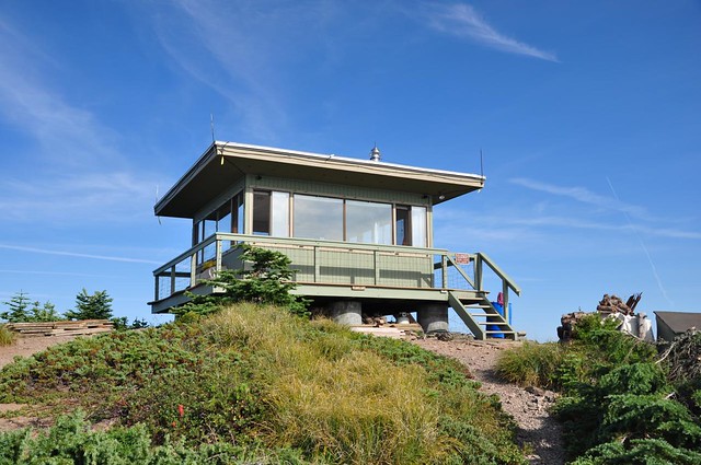
The lookout is closed to visitors, but the nice woman who worked there came out on the catwalk and spoke to us. She said the fire crew had packed her gear in on July 9, with just a few patches of snow on the ground! Considering the late snowmelt this year and the relatively high elevation of the summit (5700′) I thought she had only been there a few weeks, not a month+! Her lookout, by the way, had a feature I’ve never seen on a lookout before: a nice little deck with a mini picnic table overlooking the view of Mt. Jefferson. Now THAT would be a great place to eat one’s breakfast!
She has pretty awesome views in nearly all directions from that lookout, of course. Bachelor Mountain and Mt. Jefferson:
Mt. Washington and the Three Sisters:
The “other summit” of Coffin Mountain where the radio towers are:
Although I don’t have a photo of it, we could also see the huge swath of burned forest from the B&B fire a few years back. Wow, that fire burned a lot of acreage.
Not far from the lookout is a place that the woman referred to as “the point.” We went out there and admired the lovely evening views for awhile before heading back down.
On the way back down we came across this lovely spot after finding the geocache:
We were back to car at 7:00 and then headed back to the campground for a well-deserved veggie burger dinner and cold beers.


