Inspired by this report from Gunsight Butte last week, my goal on Sunday was to hike up Lookout Mountain and continue on the trail out to Gumjuwac Saddle and Gunsight Butte, then back the same way, which would have been about ten miles. Didn’t quite pan out though.
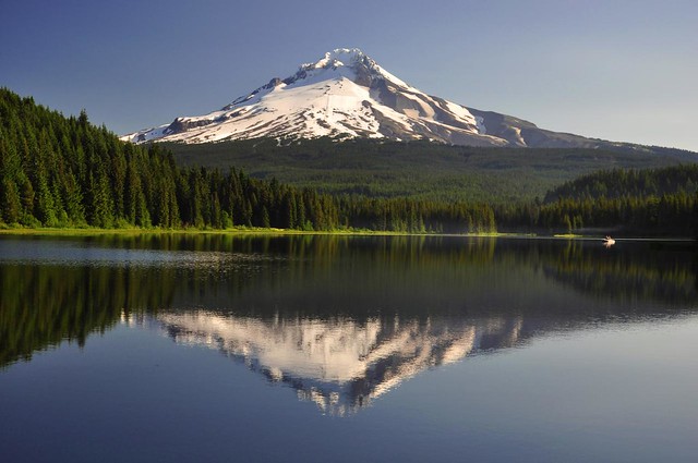
I got up at 6 a.m. so I could have good morning light on the east side of Mt. Hood. Google Maps instructed me to take Hwy 26 instead of I84 and Hwy 35 (I think Google Maps was wrong). I needed a pit stop and rather than stop at Government Camp, I decided to take a small detour to Trillium Lake and use their facilities after admiring the morning view at the dam. The view was indeed very lovely and it was nice and peaceful there. Just some fisherman along the shore and none of the loud hoards that I’m sure were there later in the day.
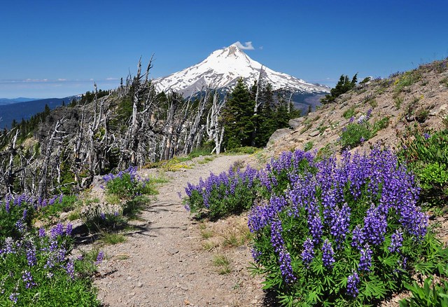
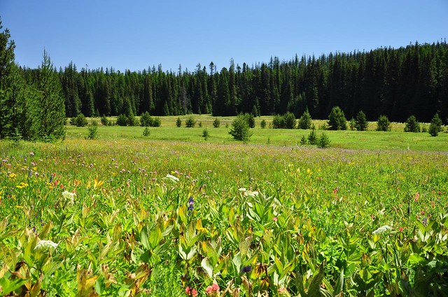
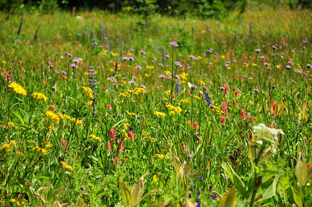
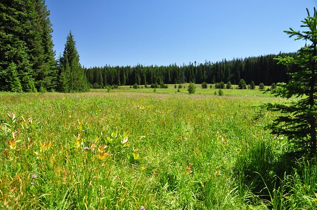
I continued on to the Lookout Mountain trailhead and hit the trail at 9:00. There were quite a few shooting stars blooming in High Prairie as I hiked through, but they were past their peak. But the meadows are snow-free and green!
Just after the meadows, about a quarter-mile from the trailhead, I hit the first patch of snow. It increased the further I went. But there were enough melted-out spots of bare ground combined with people’s tracks in the snow that I was able to find my way up the old road. The last bit to the summit was totally snow-free, as was the summit itself.
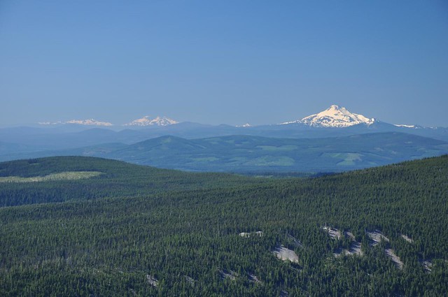
The views were, of course, insanely incredible. Broken Top, Three Sisters, Mt. Washington, and Mt. Jefferson:
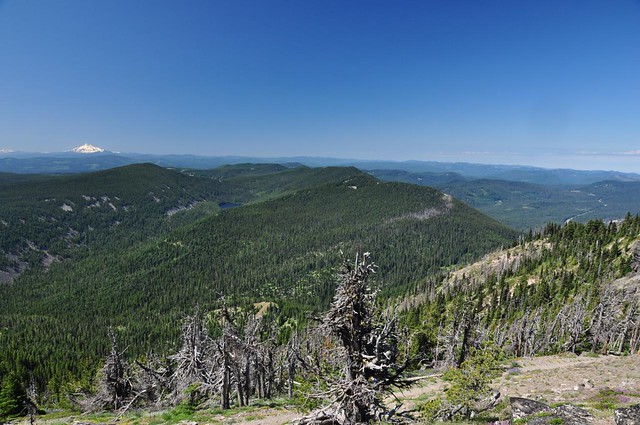
The Badger Creek Wilderness, including Badger Lake and Gunsight Butte:
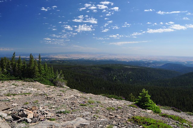
Dry central Oregon:
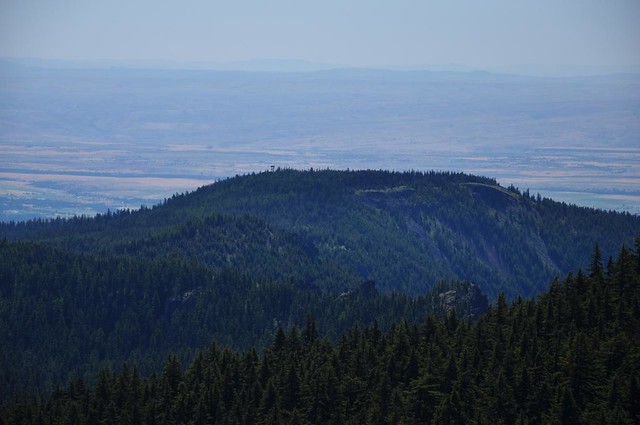
Flag Point, with the fire lookout just barely visible, poking up above the trees:
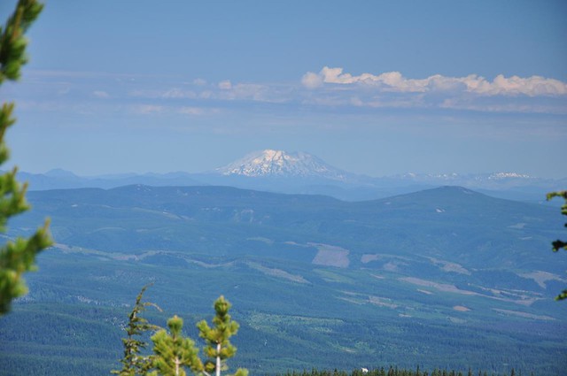
Mt. St. Helens:
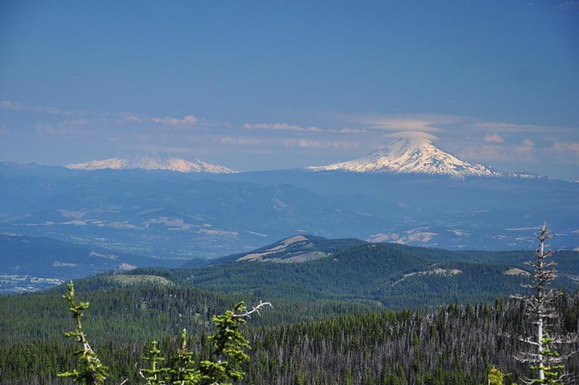
Mt. Rainier and Mt. Adams:
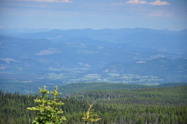
The Hood River Valley:
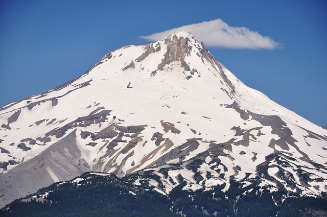
And of course, front and center, Mt. Hood:
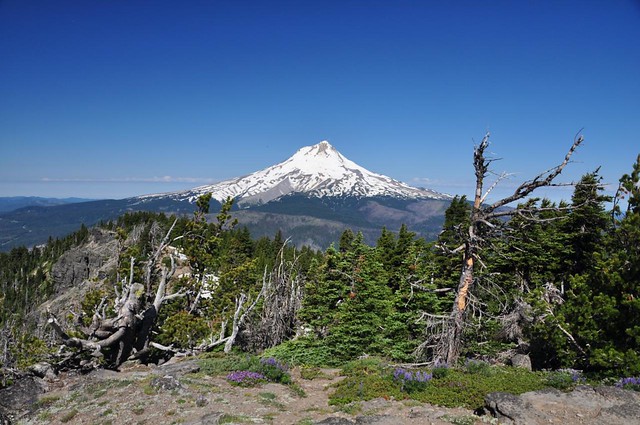
This is such a short and easy hike, with such an amazing reward. I felt like I hadn’t worked nearly hard enough to get to this amazing spot!
I spoke with a nice gentleman who was at the top when I arrived. He said he had done the hike to Oval Lake once (recommended as an add-on to the Lookout Mountain hike in Sullivan’s older guidebook editions) and that it wasn’t worth the effort. He said the trail to Flag Point was nice, though. But we both figured there was probably too much snow out that way. He left about 10 minutes after I got there, and I had the place to myself for the next 45 minutes. Just me and the mountains and the wildflowers.
Oh yeah, and bugs too. There were lots and lots of bugs. Fortunately only a few of them were mosquitoes and despite no long sleeves and no bug spray I only ended up with two bites.
I reluctantly left the summit to continue my hike over to Gunsight Butte. Although I think I found the right trail, it didn’t match up with the trail on the GPS and it seemed to peter out after about a quarter-mile. The day was getting warm, I was alone and not sure of my trail, so I decided to save it for another day.
I headed back to my car, slipping and falling hard in the mud while hiking through High Prairie. Ouch. I passed six other hikers on their way in (plus another hiker had arrived at the summit right before I left). And I saw a family getting ready at the trailhead and I passed four more cars on their way in as I was driving out. So I’m VERY glad that I got an early start and got to enjoy some solitude up there!
Since I was in the neighborhood, I decided to go check out Brooks Meadow, which I read about recently. Unfortunately, the watershed warning sign is pretty prominent (I was hoping it wouldn’t be and that I could claim to have not seen it). So I just took some shots from near the road and didn’t venture further, even though the fields of lovely wildflowers beckoned me. Oh well.
I needed some more exercise, so after Brooks Meadow I headed over to Barlow Pass. But that’s a different trip report, coming soon.


