Thursday, October 13, 2022
While staying at the Short Creek Guard Station I did the short easy hike along the North Fork Malheur River.
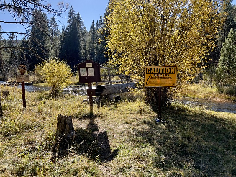
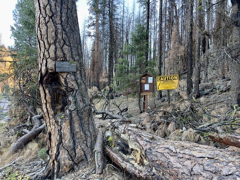
The last bit of road to the trailhead is a bit rough but I made it in my Outback. The turn off the road to the trailhead was clearly signed:

Much of this trail burned in the 2021 Black Butte Fire and a big sign at the trailhead warns you that you’re about to enter a burn area:
Another sign warned about a possible lack of trail maintenance, which would turn out to be only partly true:

This river was designated a Wild and Scenic River in 1988:

Something I’m not used to seeing at trailheads back home in the Cascades, a map!

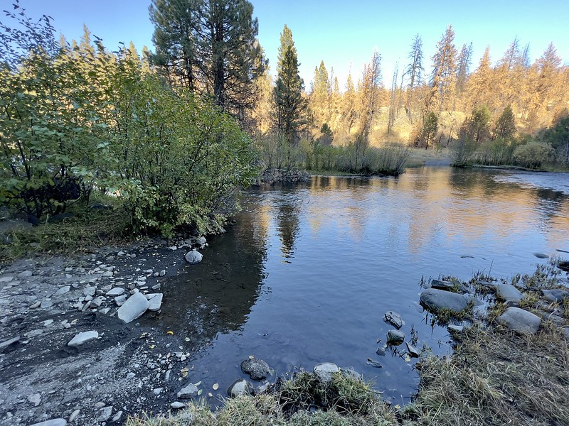
The trail starts off by crossing the river on a footbridge.


A second footbridge crosses a small side channel of the river:

Yes, this log is indeed loose. It rolls slightly when stepped on:
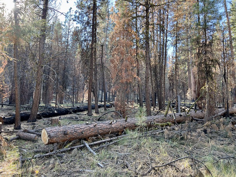
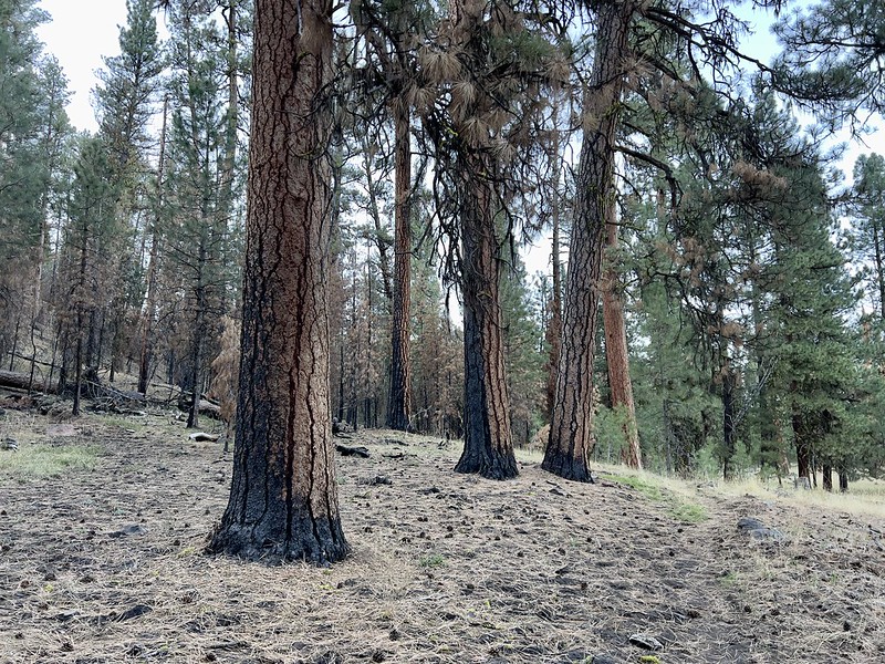
As soon as I was across the river I could see signs of last year’s wildfire:

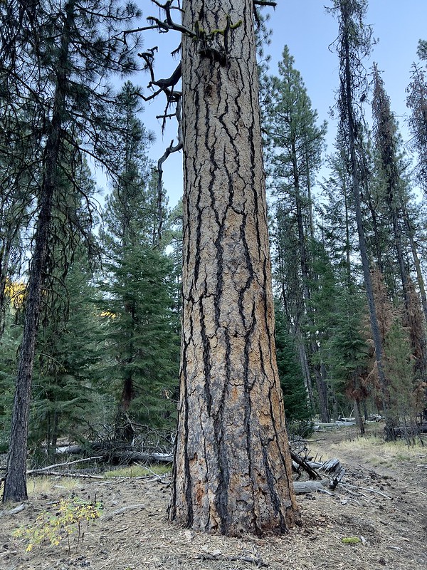
Thankfully some of the big ponderosas survived:
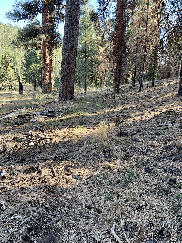
Thankfully the trail was easy to follow:


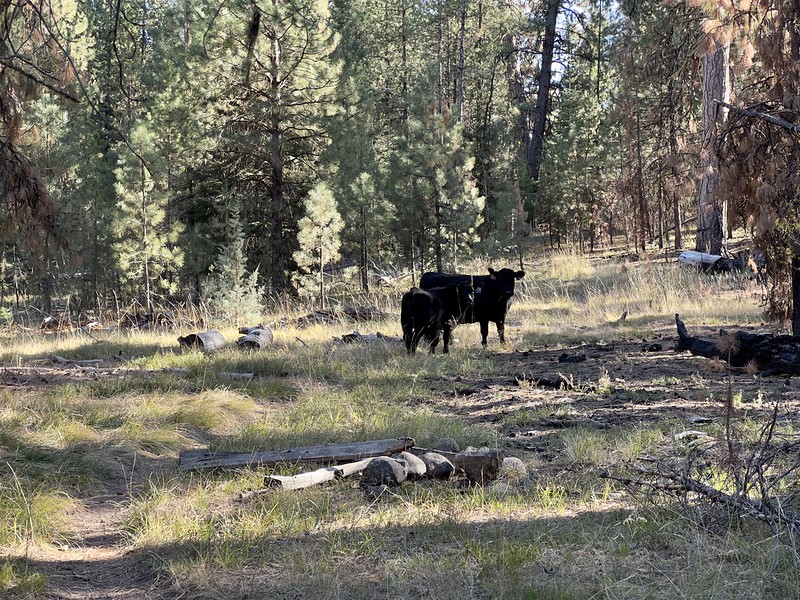
I saw a vague black shape and movement far up ahead and nearly had a heart attack. No worries, just a cow. Actually several cows, I saw as I got closer. This photo shows just two of them, but it looked like there were about eight or so:
The first mile of trail isn’t close to the river, but after that they come into proximity again. The low afternoon sun made for tricky photography conditions, but the river was super lovely. It was sad to see this lovely place trampled by cows:


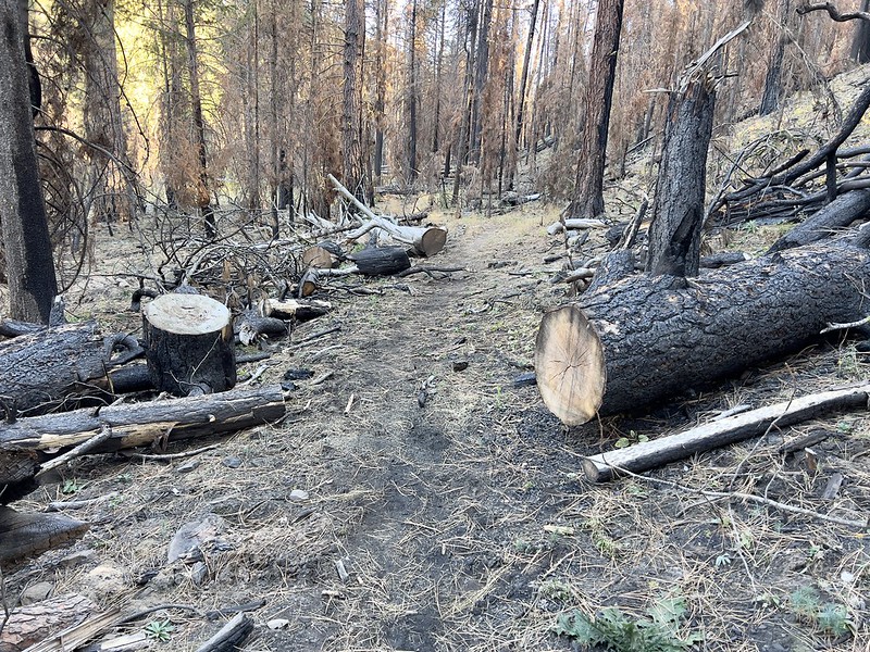
I saw many signs of trail maintenance, which was a relief. A crew had come through at some point this summer and cut out all the fallen burned trees:
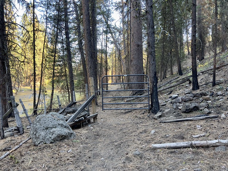
I reached a gate, although I could not ascertain the purpose of this gate. It did not serve to keep cows on one side or the other because the cows just detoured around by doing into the river:
I continued along the river for a short distance:

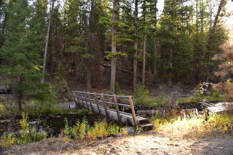
Then I reached Crane Creek, which had a footbridge across it. Somewhere around this spot the Crane Creek Trail heads west along the creek, but the area is so trampled by cows that I didn’t spot it:
Crane Creek, looking upstream from the footbridge:

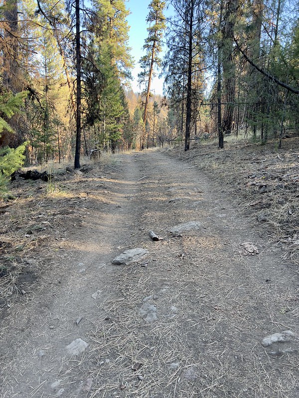
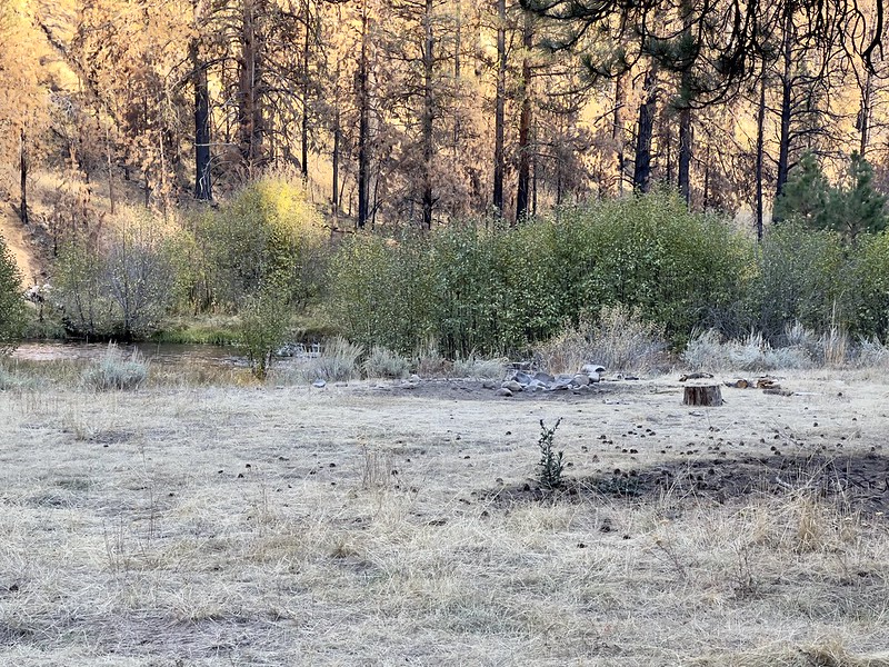
I decided to go a little bit further along the river and followed a dirt track, which the map says is Road 774:
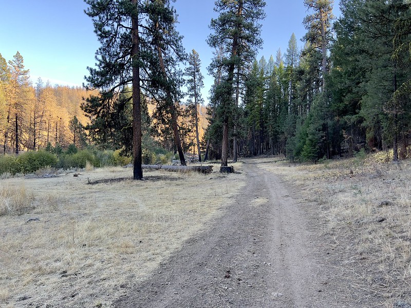
There is a campsite here:
I found where the trail continues south, but it was clear that the crew had not cleared this stretch yet. I didn’t have time to go further anyway:
The Road 774 crosses the river here via a ford:
I turned and headed back and noticed this road sign laying on the ground:

I speed-hiked back to the car. The sun sets early this time of year and I wanted to get back before dusk. This was a lovely area despite being trampled by cows and burned by a fire. I wish I had seen it before it burned.
Gaia stats: 5.8 miles, 200′


