Sunday, April 19, 2020
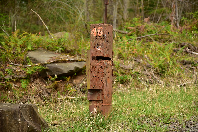
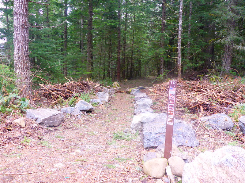
Trailheads in the Mt. Hood National Forest are closed, which basically means trails are closed too. In the Columbia Gorge everything is totally closed down. We needed some time away from the city so we headed down Road 45 near Estacada to find some geocaches. Along the way we stopped to do a trek to Hillockburn Spring. We parked at this gate. The road is unlabeled on the maps, but a sign here said HB 40:

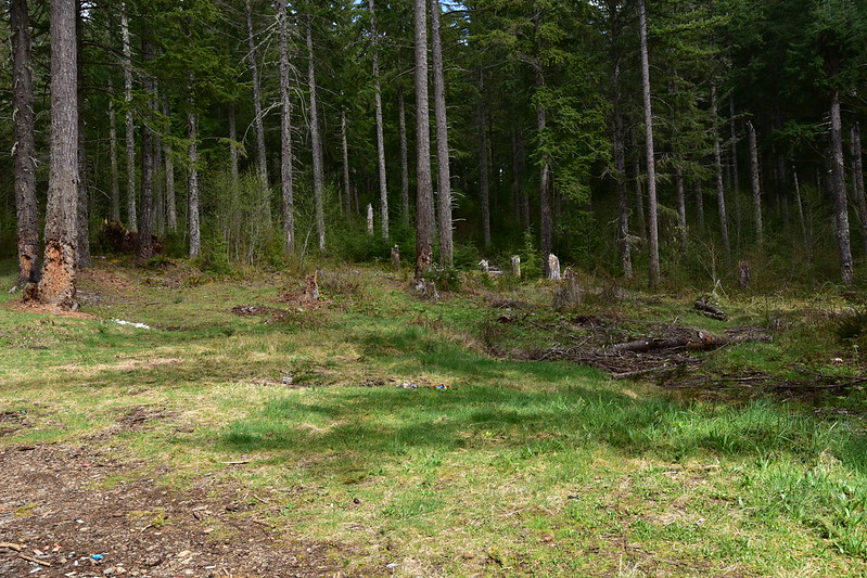
While we were snacking and getting ready an old black car pulled up. They pulled open the gate and drove through, much to our surprise. The gate was unlocked. But the signs said “no unauthorized vehicles” and “road closed: extreme safety hazard” so we left the car and hiked in. Right away we passed an illegal target shooting site where people have shot up the trees and left their litter. This makes my blood boil.


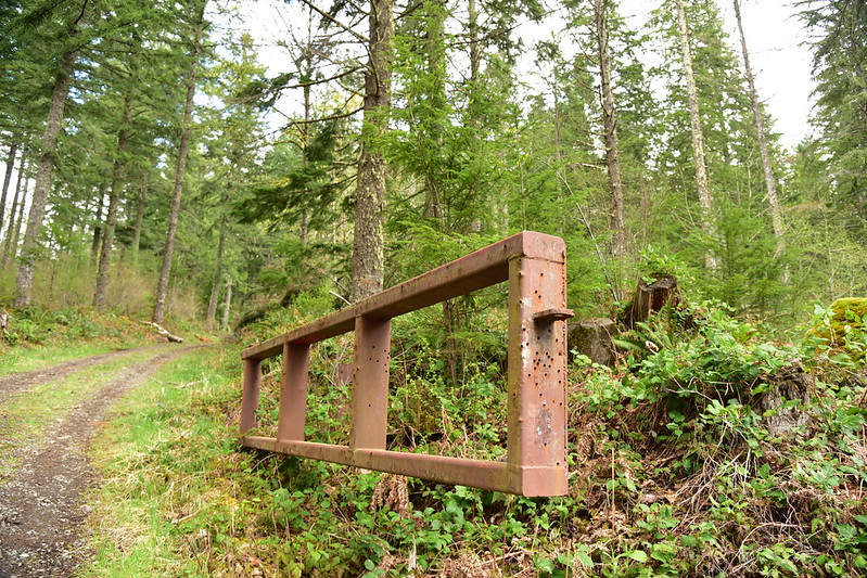
At that spot the road splits and we continued straight uphill through an open rusty gate that was all shot-up:
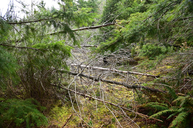
These downed trees were the only “hazard” we saw:

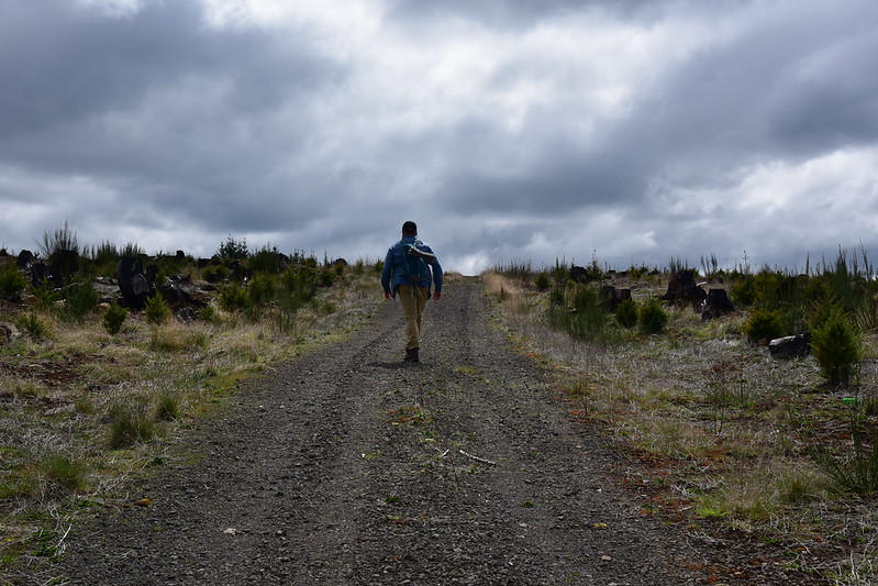
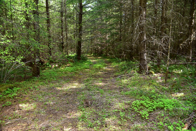
We passed a quarry a half mile in, which is where the guys in the black car were headed for some target shooting. We continued hiking up the road, which was in good shape:

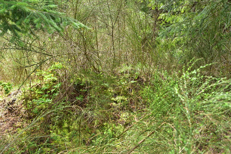
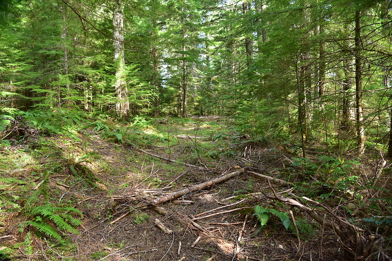
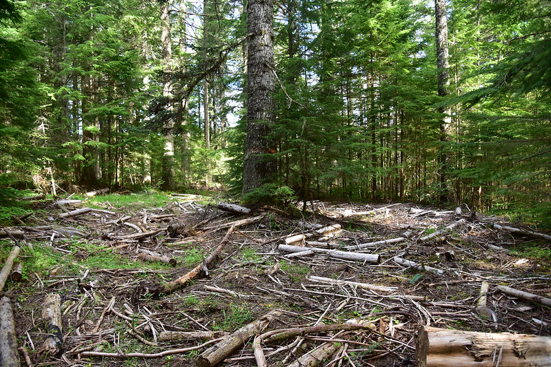
The geocache at the spring had a “start bushwhacking here” waypoint, so when we reached that point we left the road started making our way down the hill through the brush. The problem is that this area is an old clearcut that also burned in the 36 Pit Fire of 2014. The trees that were growing back after the harvest were killed in the fire and many of them had fallen, creating obstacles. Plus the scotch broom was everywhere. This is the only photo I took during the bushwhack, just as we left the road and started heading down the slope. The spring is out of sight ahead of us to the left:
We reached the spring, which was an odd place. At some point a containment pond was built, but for what purpose? There was also a weird half-wall sticking out into the middle of the pond.


We realized that the geocache was on the other side of the pond, so we bushwhacked our way over there and found the cache. Here’s the view from that side:

At the very least a trail would have once led past this spot, either before or after the containment pond was built. Perhaps even a road. Usually roads leave a trace of some kind, but we saw none. Any signs of a trail were long ago obliterated by the clearcutting that happened here.
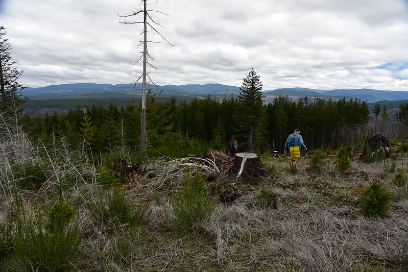
After visiting the spring we bushwhacked back up to the road and continued south to try and visit the former site of the Hillockburn Lookout. We followed the road through the clearcut:
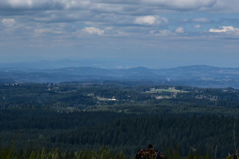
It tops out on a rise where there’s a decent view:


We could even see downtown Portland!
And that’s Tumala Mountain to the east:

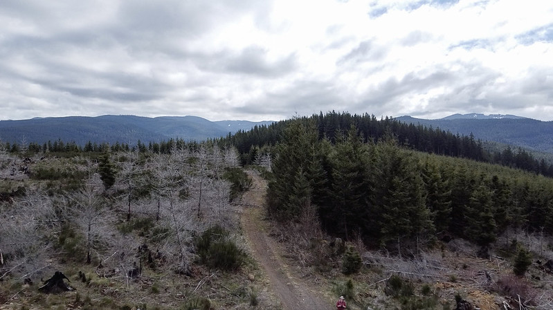
Below is an aerial shot from my new DJI Mavic Mini looking south from the clearcut. The forested hill there is the former lookout site. (This was the first time I had tested out the drone. There was only a slight breeze, but I was very nervous about it being carried away because it’s so light, so I didn’t push it as far as I could have.) You can see all the dead trees on the left that were killed by the fire, which clearly stopped at the road:
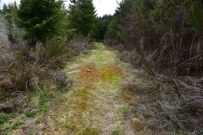
The road became grassy:
Then it reached an obvious dead end:

Beyond this we found a very old earth berm, which is hard to make out in this photo:
We tried to follow whatever old path or roadbed lay beyond, but mother nature has taken over and the roadbed was choked with scotch broom:

We made our way through that for about 100 feet and then reached this:
That did not look fun, and the brush was pretty impenetrable on all sides, so we gave up and headed back. Looking at the satellite view there isn’t even any evidence of a road scar beyond where we turned around, at least in the clearcut, although something faintly resembling a road is still visible in the un-logged forest:

You can also see that the former lookout site has completely grown over:

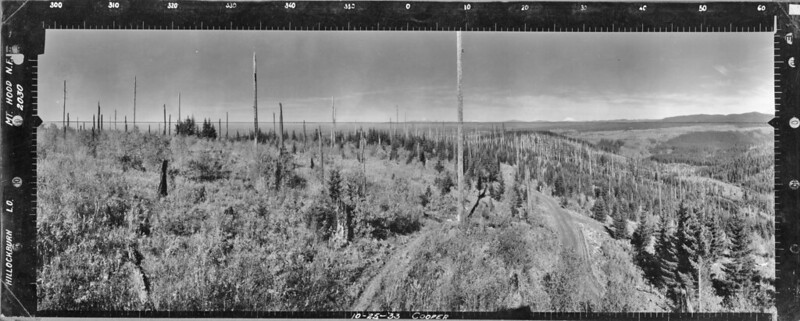
According to this site there was a camp in 1928 and a cabin starting in 1936. However, panorama photos were taken in 1933 (high res versions available here) and they show a cabin at that time.
North:
Southwest:
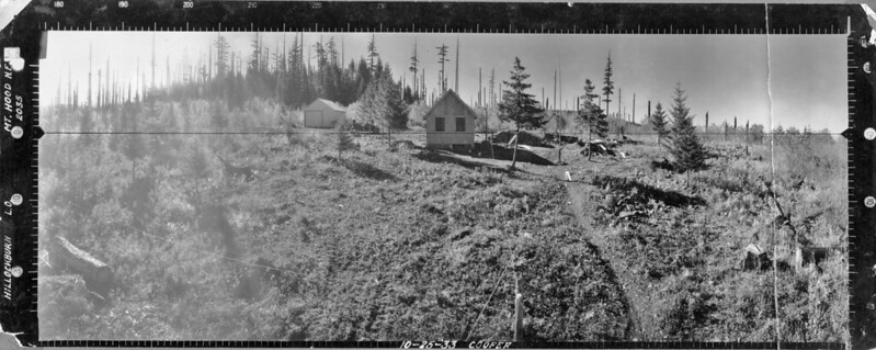
Southeast:
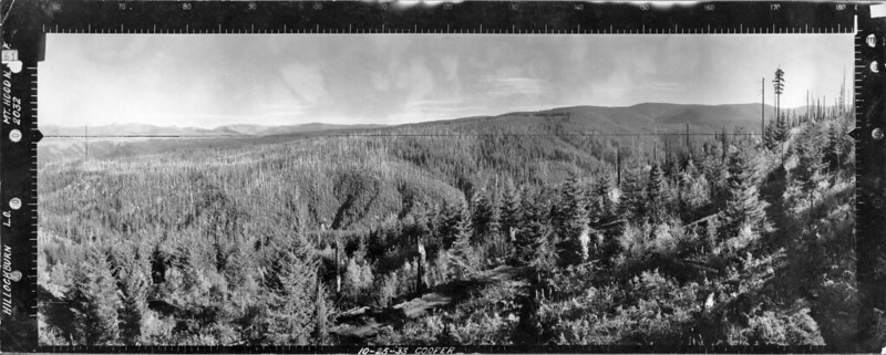
The view to the north clearly shows a road, and you can see it in the southeast view as well. The southwest view shows a car by the cabin, so the road probably switchbacked up to that spot. It’s unclear where the panoramas were shot from. There must have been a crows nest lookout or something. All views, especially north, show evidence of a past wildfire, with silvery snags visible and regrowth occurring. Anyway, I think if one were to try and visit the old lookout site, it might be best to bushwhack up from Road 45 to the west.
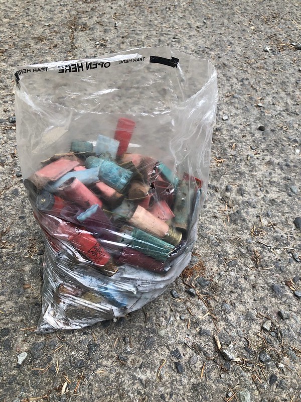
We headed back to the car and while getting ready to leave two women came jogging down the main road with packs on their backs and bags in their hands. They asked if we had a trash bag. Turns out they had gotten dropped off five miles up the road and they were jogging their way back down and picking up trash as they went, stashing bags at pickup points to come back for later. They had picked up so much trash they had run out of receptacles. We thanked them for what they were doing and gave them a 13 gallon trash bag that we had in the car. Thank you ladies! You momentarily restored my faith in humanity. After that I donned my gloves and went to the illegal shooting site beyond the gate and picked up 5.2 pounds of shotgun shells in about five minutes:
Further up Road 45 we passed dozens of target shooters. We drove past the Hillockburn Trailhead where a trail heads downhill to the South Fork Clackamas River. We saw a group of people target shooting DOWN THE TRAIL. This 2014 photo from Bark shows the trail heading down hill. The shooters had targets set up about where the end of those boulders are, and were shooting at them. On a trail. I’m guessing that sign (which clearly states that target shooting isn’t allowed) is either shot to hell or long gone:

During a visit to the area on another day I parked at the intersection where Road 4510 and Road 45 meet, just south of the Hillockburn Trailhead. The 1955 USGS map shows the Hillockburn Guard Station at the end of a short spur road here and I wanted to see if I could find a foundation or any other evidence of it.

The path of that old spur is clearly visible:
I reached an open area with a large tree in the center:
I reached another clearing, with no signs of any past structures:

From that clearing the old road turned to the right, and this was my turnaround point:
Who knows how long the guard station has been gone, but it’s been many decades. Perhaps any evidence of it is buried in the forest debris, but with all the OHV activity in the area it seems that if there was anything to see it would have been uncovered.


