UPDATE: On August 4 the Rebel Fire started in this area and ended up burning over 8,000 acres, including the majority of this hike. The lookout did not survive the flames. Here is a photo of the area where the lookout once stood.
I’ve wanted to do the Rebel Rock Loop for awhile, so when I saw on the Willamette National Forest’s Facebook page that a crew had logged out the entire loop, I figured now was the time to go, before another winter arrived and brought down more trail-blocking trees. It’s a long one, a good 12.5 to 13 miles (depending on who you ask). But there is old growth, wildflowers, views, and almost no people! We did not encounter snow, but we had plenty of mosquitoes for company.
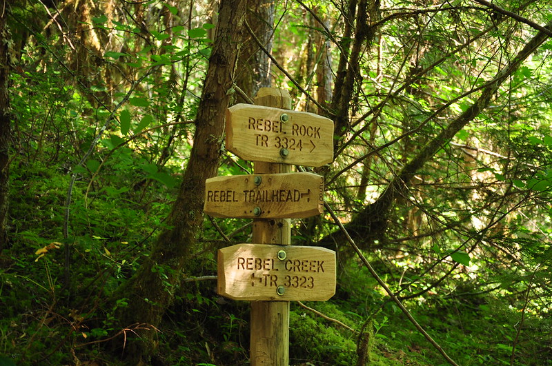
We hit the trail at 9am. The trails split very near the trailhead and this was the last directional signage we saw on the hike:
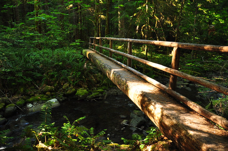
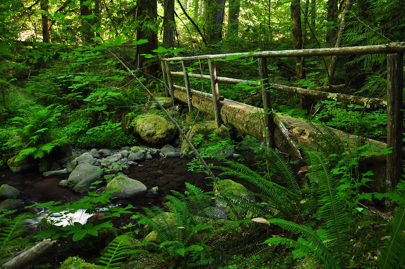
We did the loop clockwise, hiking up the Rebel Creek Trail. It crosses the creek twice in the first mile.
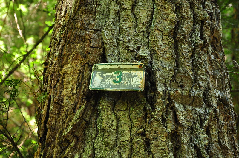
A cool old mile marker:
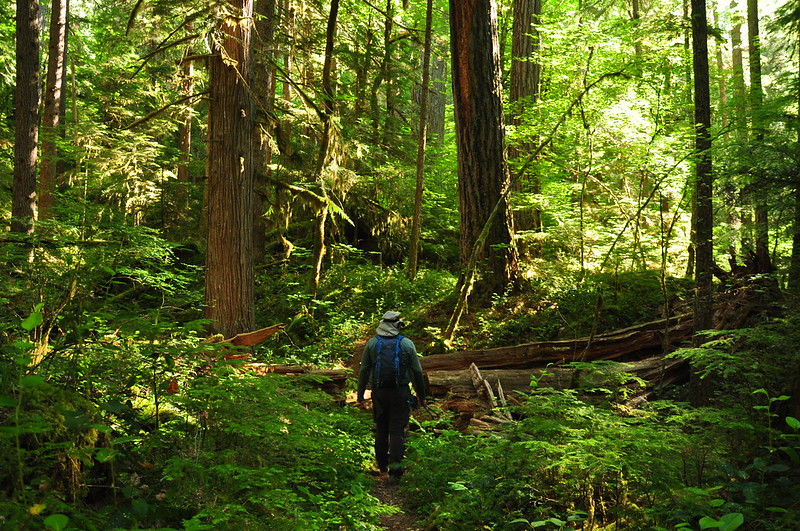
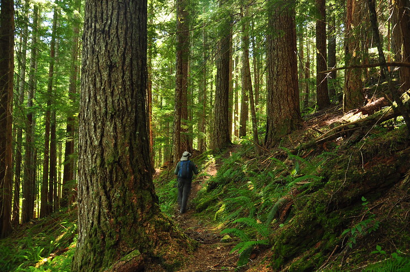
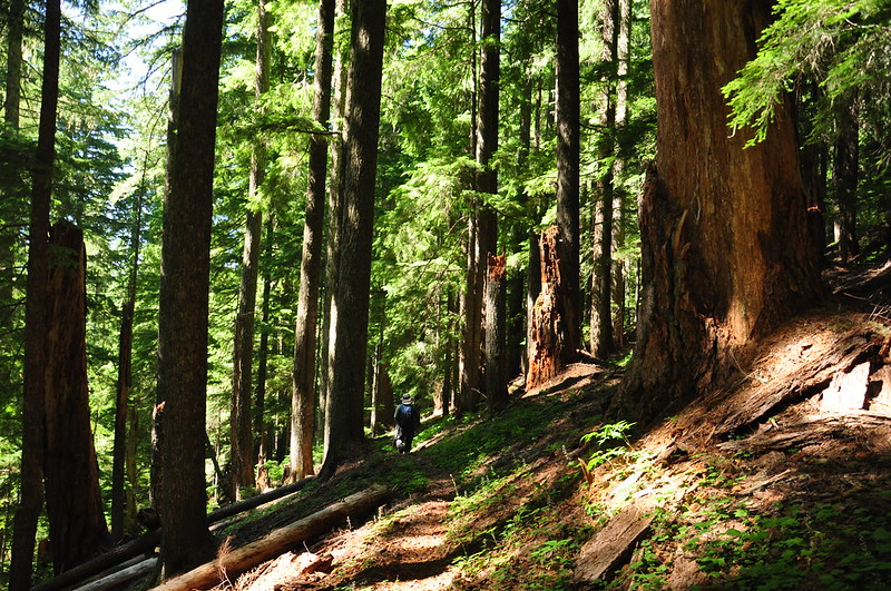
The shady forest was pleasantly cool on this warm day:
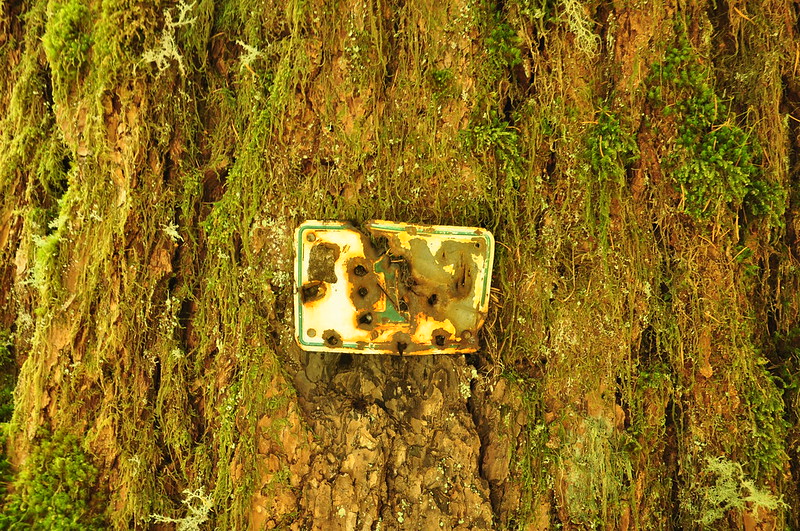
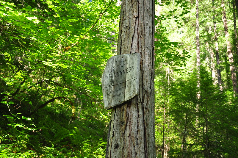
A wilderness sign that’s seen better days:

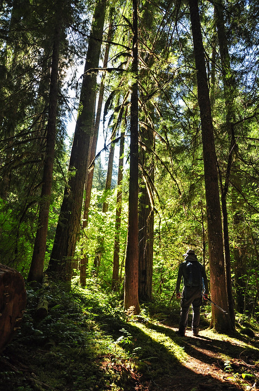
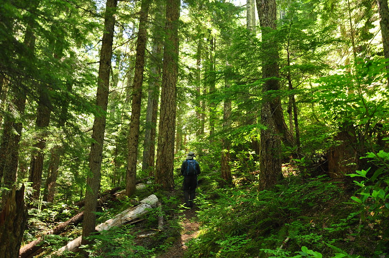
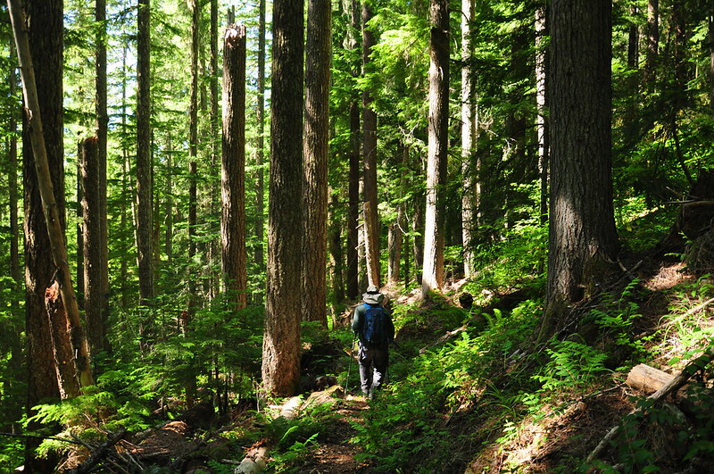
The climb was gradual and the forest pleasant, with some nice old growth:
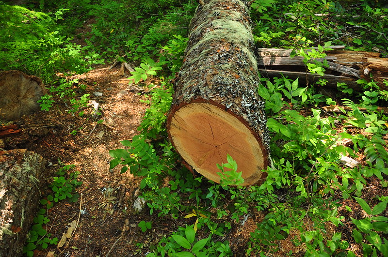
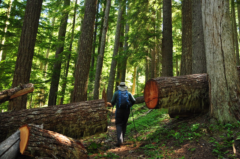
We did see signs of the recent trail work. Thanks, crew!
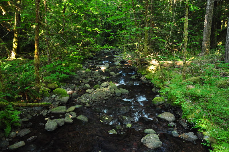
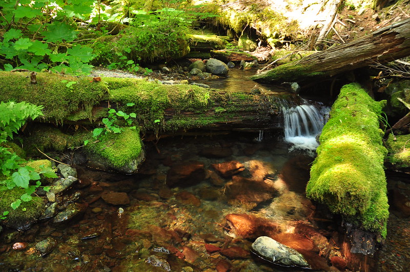
Took a break at this lovely gurgling creek:
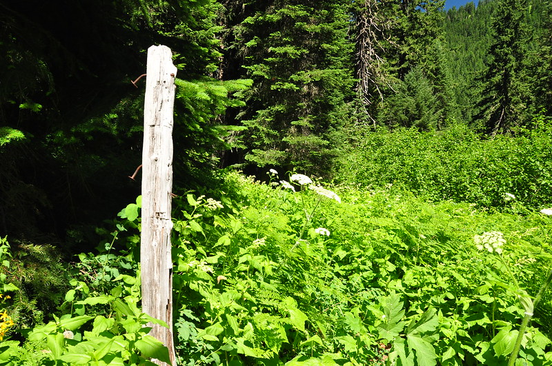
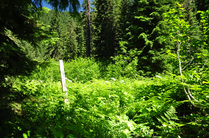
Although I didn’t do a track on this part of the trail (wish I had), I was watching our progress on the map via the Gaia GPS app. According to the GPS we had already passed the junction, but we had been looking for it and not seen it. We got to this very overgrown meadow with an old signpost and we could just barely make out the trail we wanted. If not for that old post, we probably would have walked right past the junction. I definitely appreciate the log-cutting by the trail crew but I wish they’d had time to brush out the trail as well.
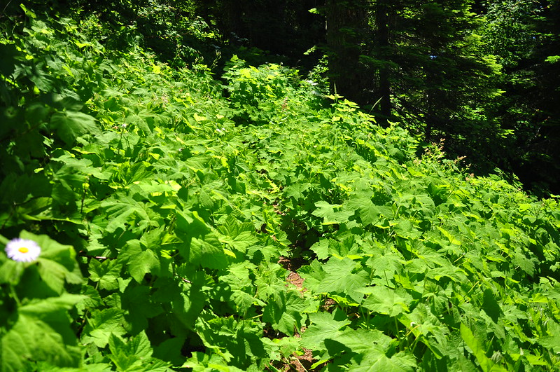
The trail traverses the slopes below Rebel Rock, which was hidden above us on the left. This part was all overgrown as well:
Looking across the canyon of that little side creek we crossed earlier:
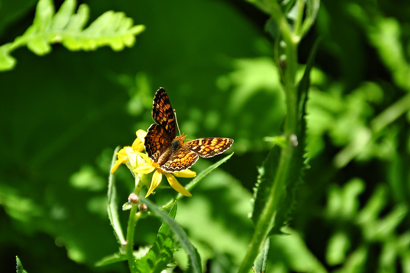
There were bees and butterflies all over the place:
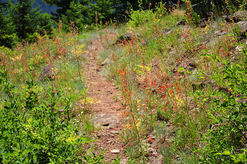
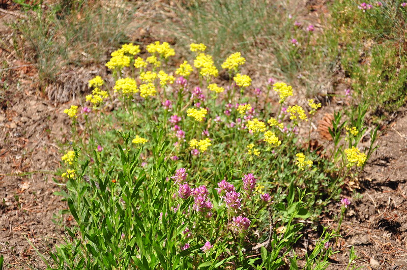
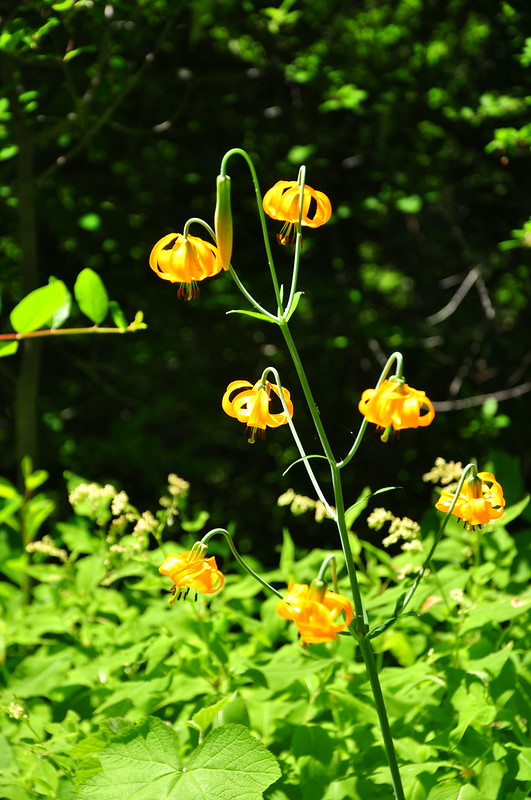
We crossed some open rocky clearings with wildflowers, including scarlet gilia:
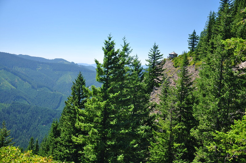
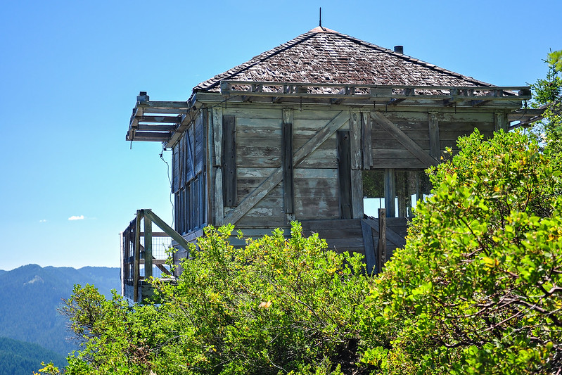
We got our first glimpse of the lookout:
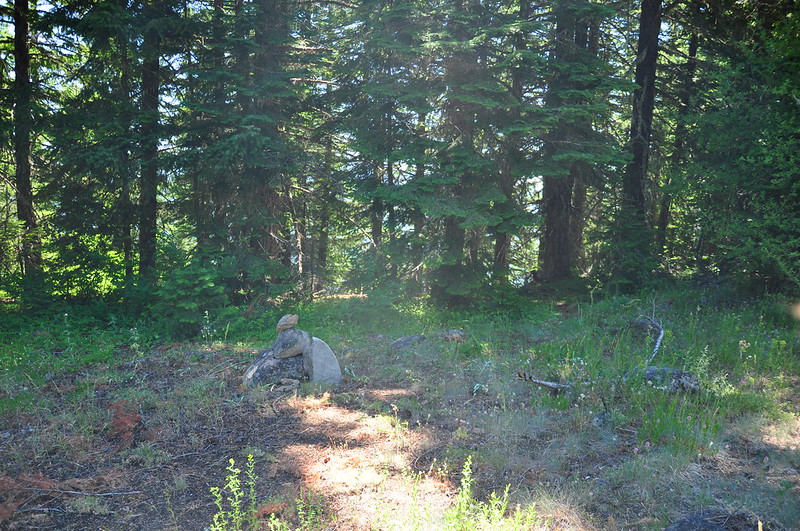
Further down the trail, an unmarked side trail leads to the lookout. There was a cairn when we were there:
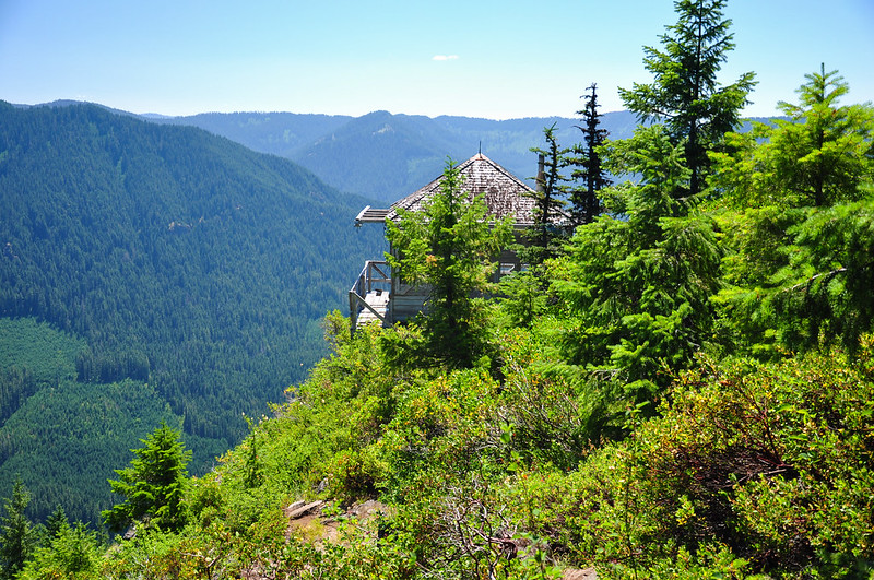
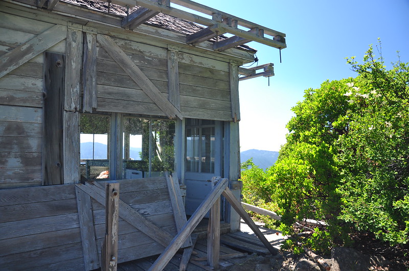
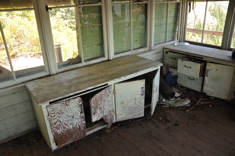
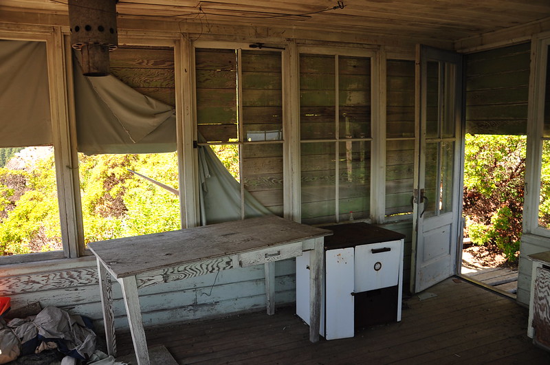
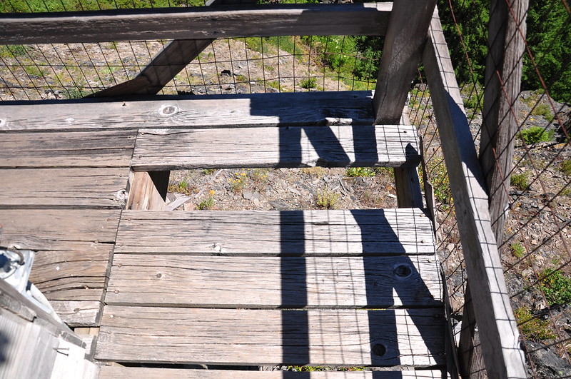
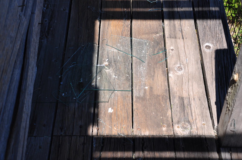
The lookout was built in 1955, but it hasn’t been staffed in about 50 years. It’s in bad shape, but considering how long it’s sat here abandoned, exposed to the weather, it’s amazing that it’s still standing at all.
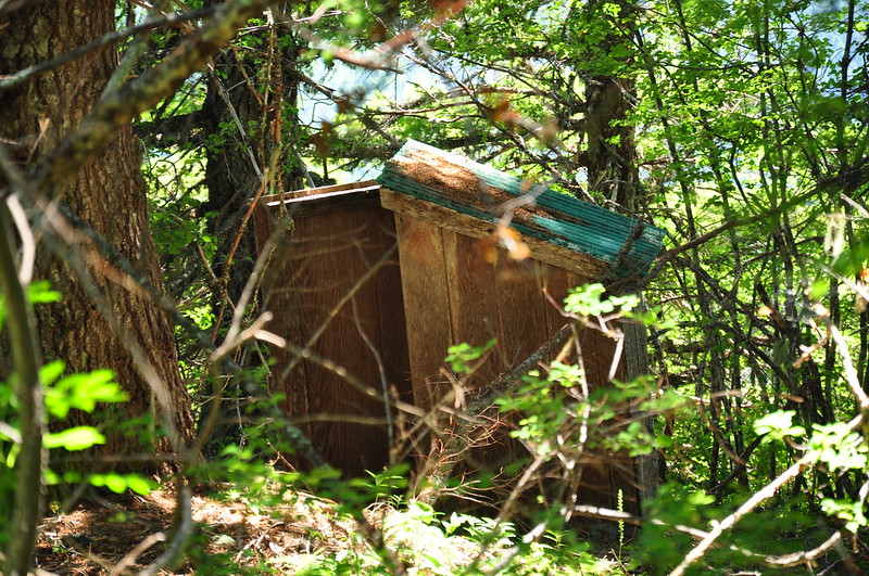
The old outhouse in the woods is still standing:
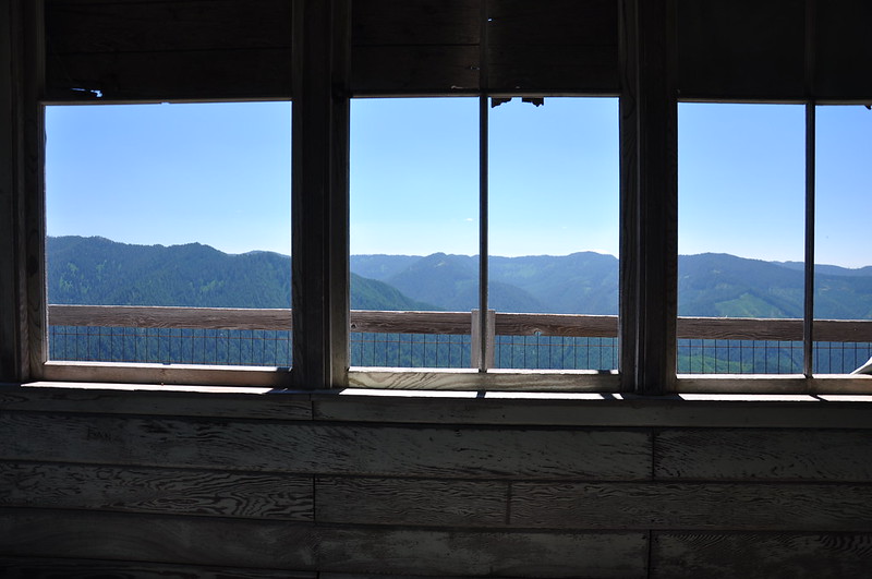
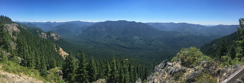
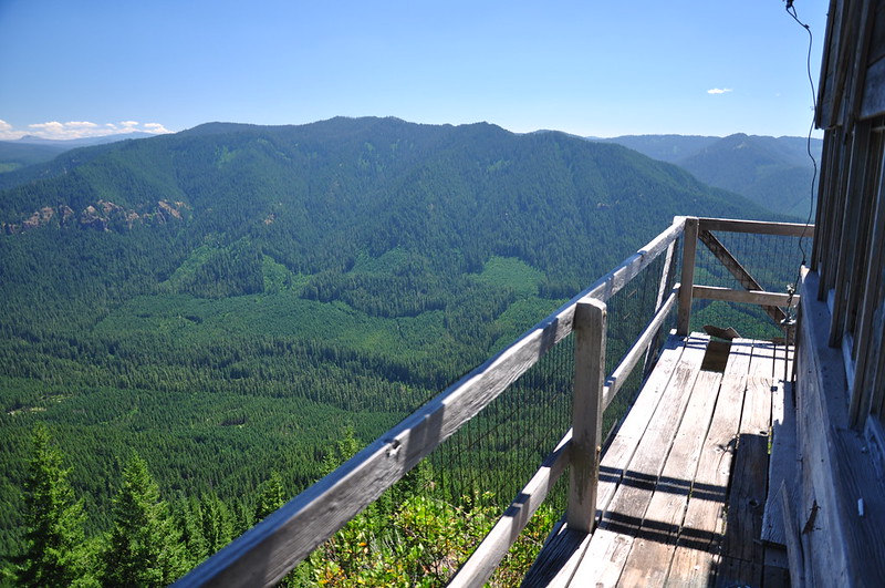
The lookout is unusual in that it’s not on a summit with a 360-degree view, but perched on a cliff with a view in only three directions. It looks south out over the South Fork Mackenzie River.
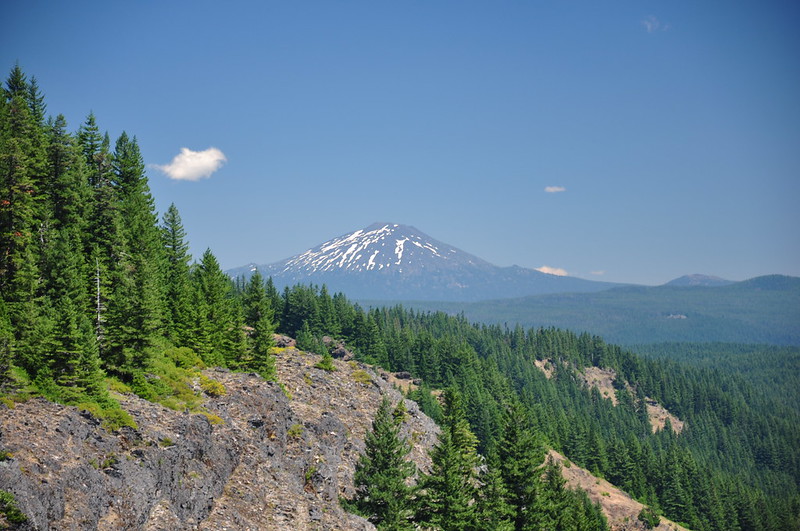
The only Cascade peak you can see is Mt. Bachelor, although of course back when this was an active lookout that peak was known as Bachelor Butte:
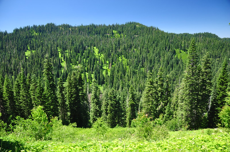
Chucksney Mountain:
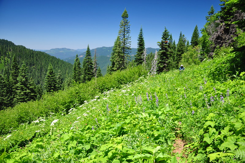
Back on the trail we continued on through more rocky clearings with wildflowers:
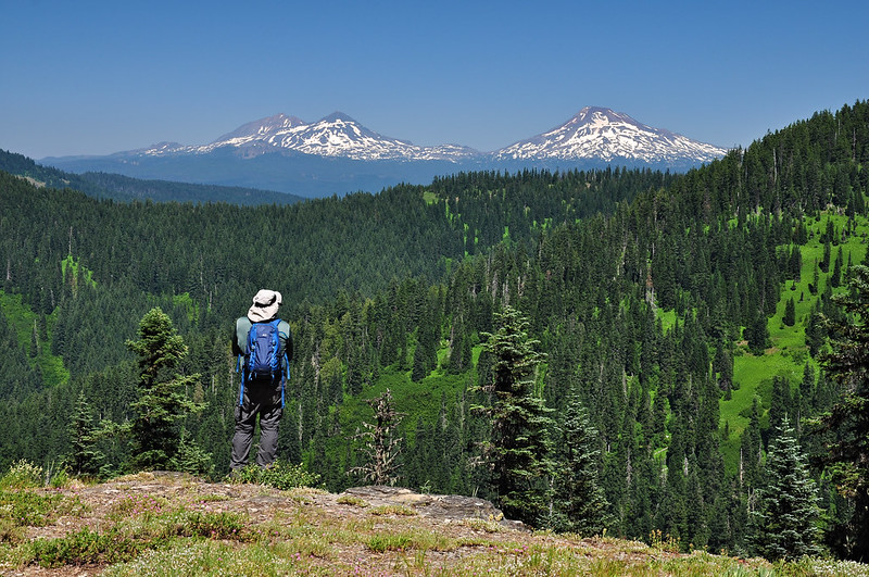
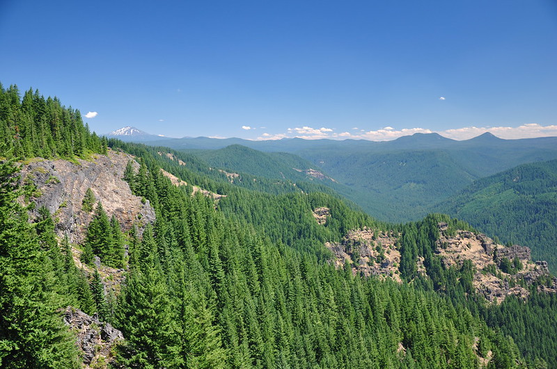
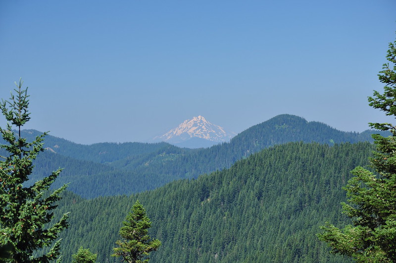
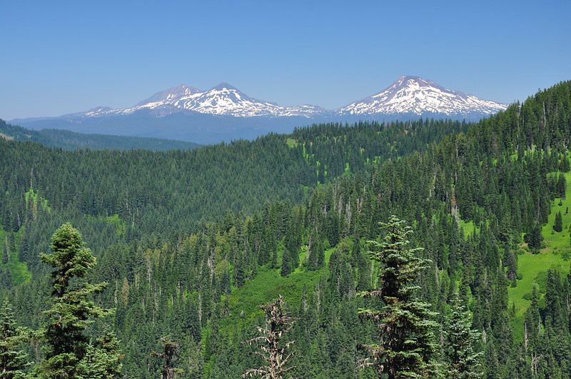
One of these clearings has a view back into the heart of the wilderness with views of Mt. Jefferson and the Three Sisters:
We kept looking back from this stretch of trail to get a glimpse of Rebel Rock, but we never did see it. Maybe we just didn’t turn around at the right spot. The trail switchbacks down through sloping meadows:
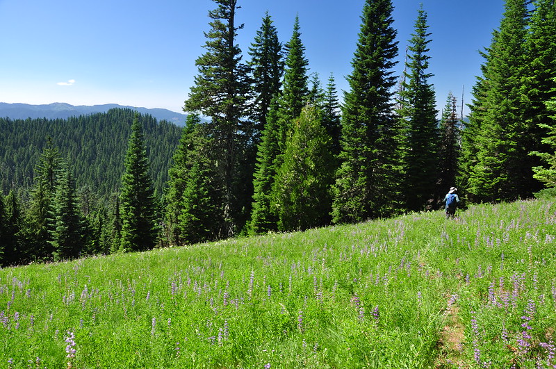
And there were more meadows like the ones we had hiked through earlier, with head-high vegetation that obscured the ground at our feet, including any obstacles. We’d come across several holes and always managed to avoid them, but then Greg stepped in one and went down. He wasn’t badly injured, but his foot was now hurting and we were still four miles from the trailhead. Yikes.
Greg soldiered on and it was a relief to leave the overgrown meadows behind and re-enter the forest:
Another old mile marker. Three more miles to go:
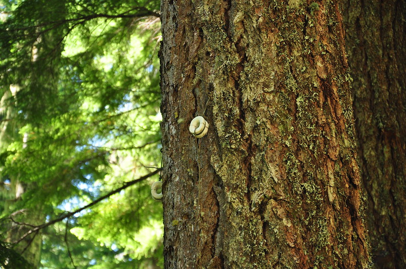
We saw a surprising amount of old phone line from the days when the lookout was active. It was hanging from insulators in the trees along the trail:
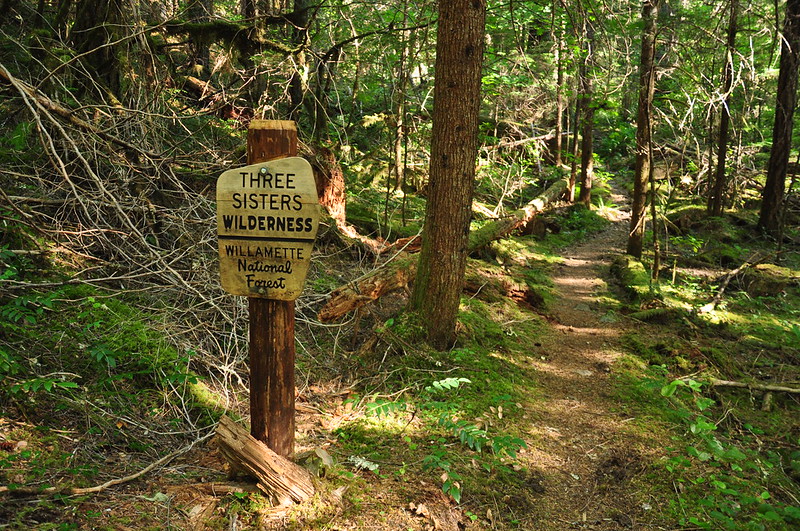
Hiked across the wilderness boundary:
Then just a short distance from the trailhead, well past the wilderness boundary, was this new-looking sign. Interesting;
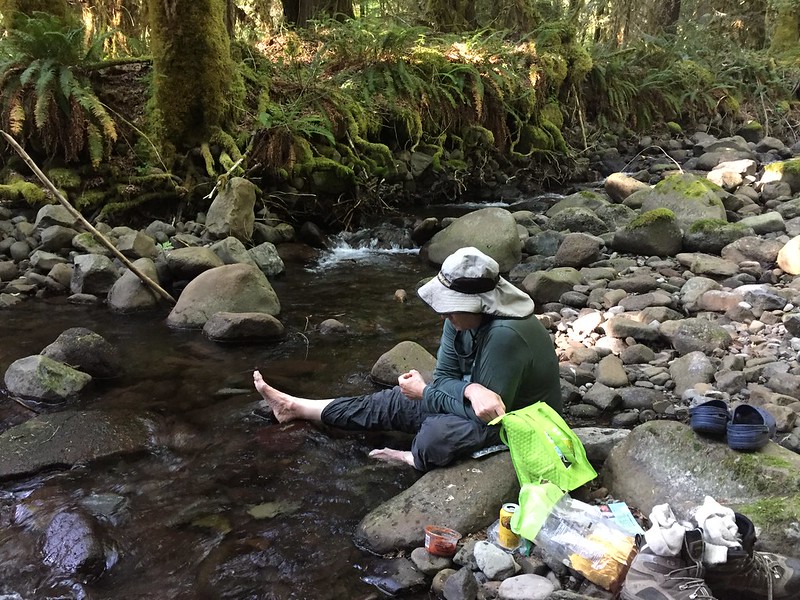
We finally got back to the car at 5:30. I knew this was going to be a workout hike and it was. My feet were hurtin’ by the time we were done. We cooled our aching feet and legs in the creek near the trailhead.
Here’s a video of the hike:


