I was undecided what to do with the second day of my weekend of camping in the Willamette National Forest, but while paging through Sullivan’s “100 Hikes” book at the campground I came across a hike northeast of Oakridge where he had a picture of beargrass backdropped by a view of the Three Sisters. Since this is turning out to be such a good beargrass year in many places I decided I’d do that hike on Sunday.
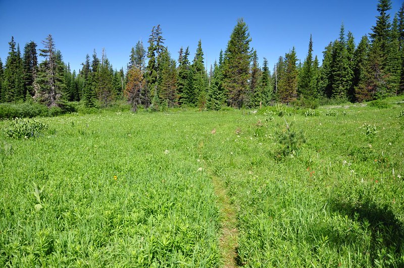
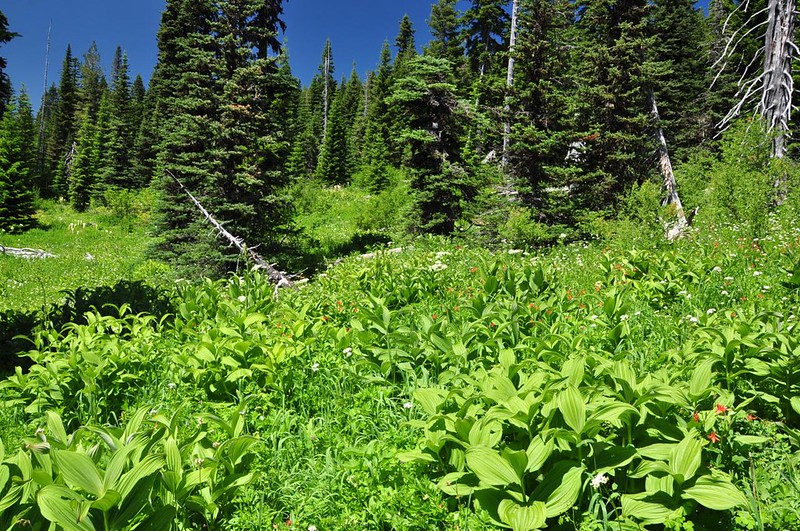
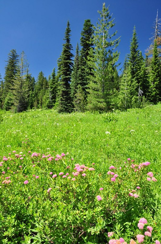
The Blair Lake Trail starts near (not at) Blair Lake and begins by passing through Blair Meadow, which reminded me a lot of Echo Basin. The birds were singing, butterflies and bees were flitting about, and it was quite lovely.
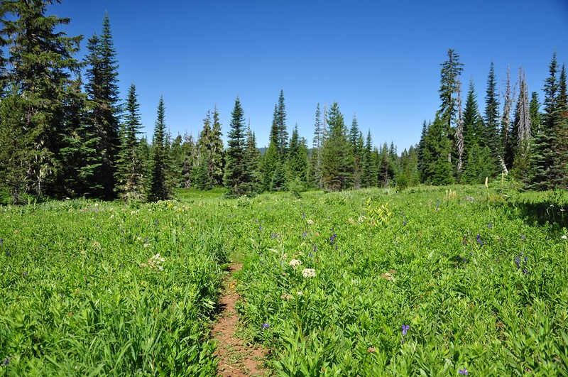
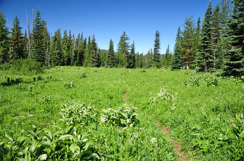
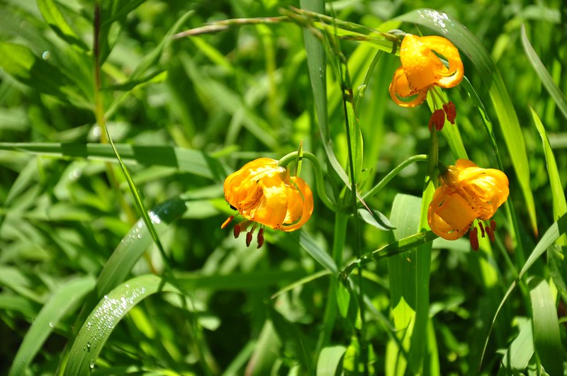
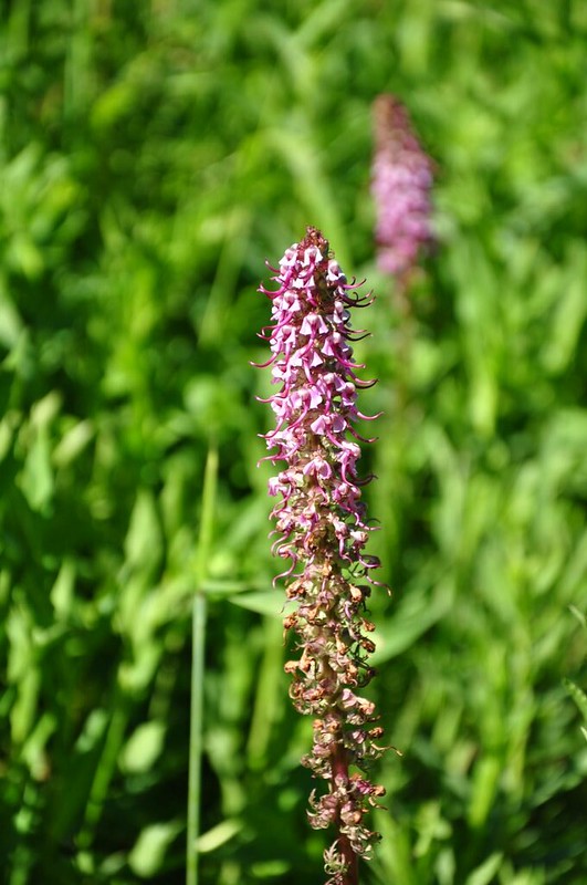
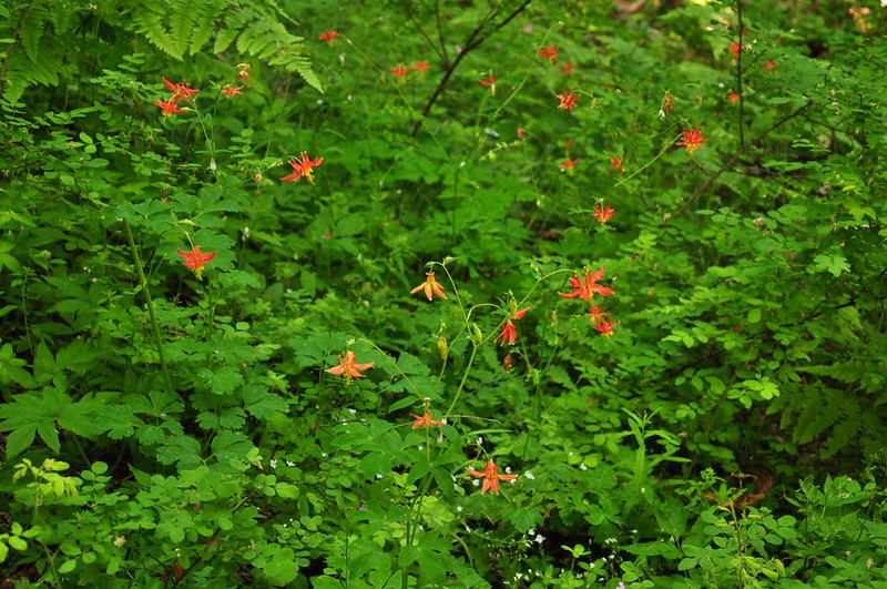
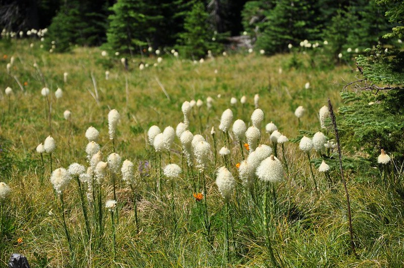
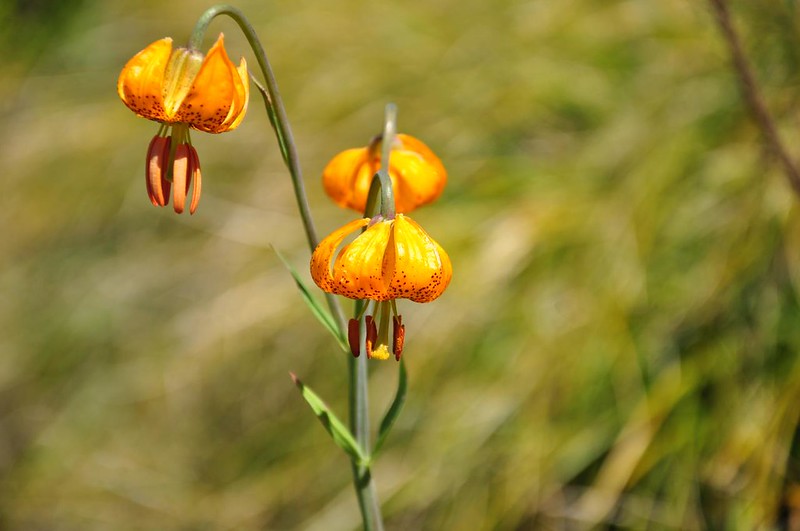
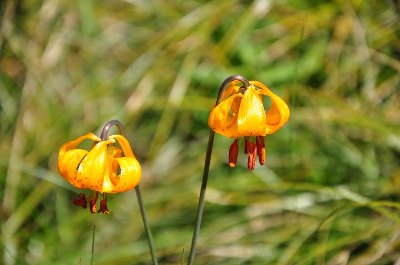
Among the many different kinds of wildflowers blooming here were tiger lilies, elephant’s head, columbine, and spirea:
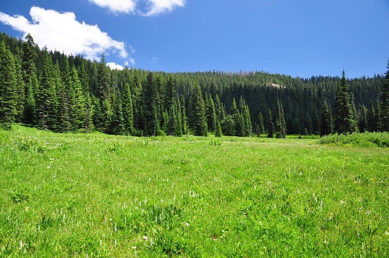
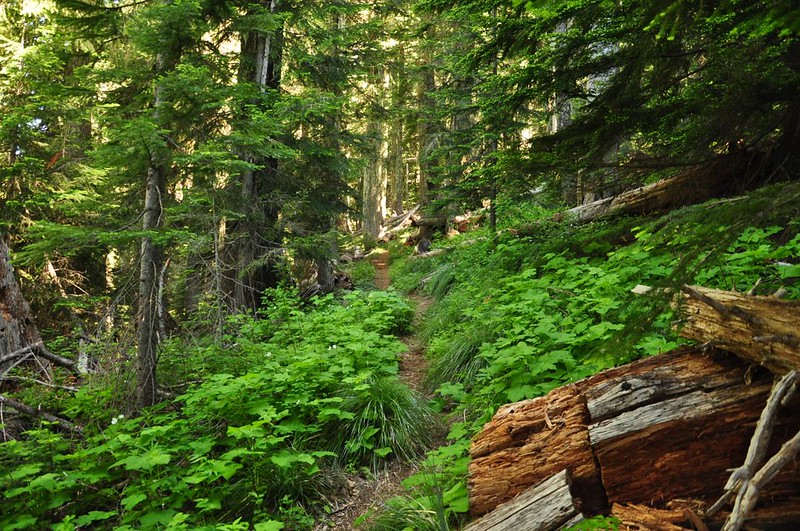
After leaving Blair Meadow the trail climbed gently through the forest…
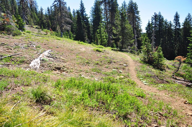
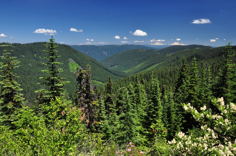
…before emerging into a large rock garden area (minus the garden; I didn’t see anything blooming here). I could see Diamond Peak from here.
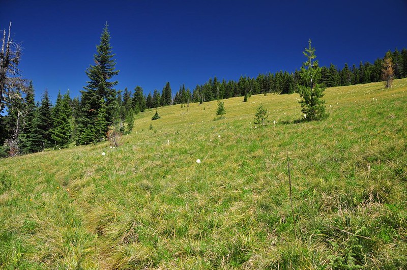
And then the trail entered the HUGEST beargrass meadow I’ve ever seen. It was utterly enormous. I was also surprised by the large amount of tiger lilies in bloom here.
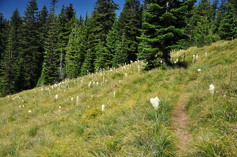
According to the topo map that big meadow I hiked through is known as Beal Prairie.
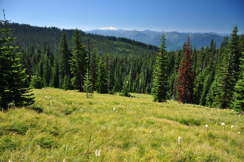
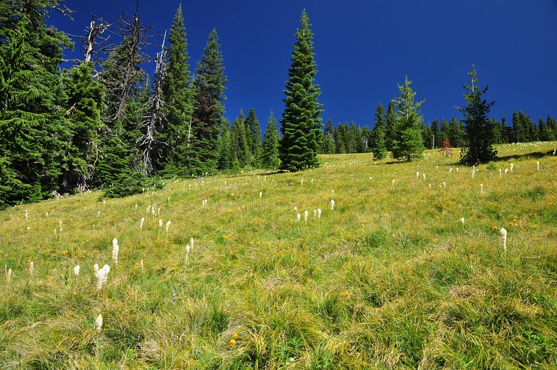
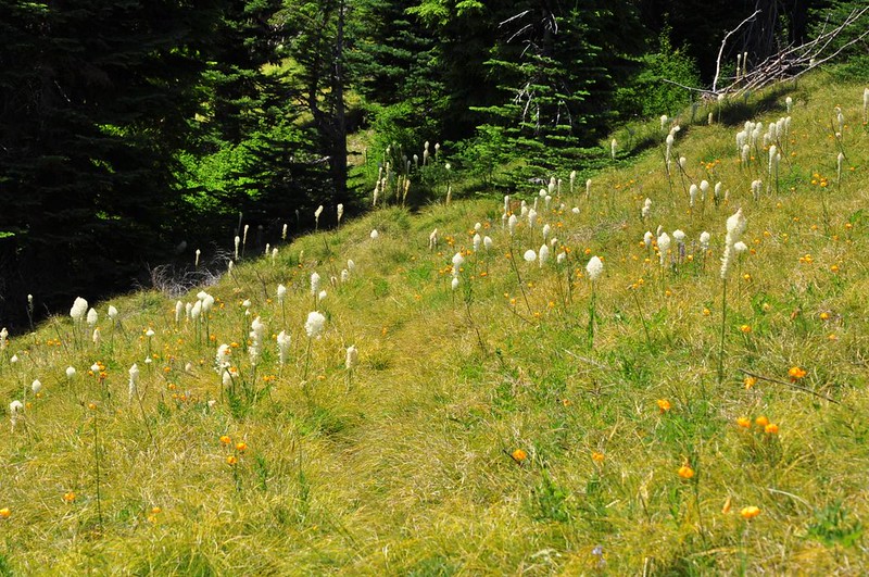
There were some beargrass in bloom here. But not all beargrass meadows peak in the same years, and it appears that unlike many spots in the Cascades this year, this spot is not having an “on” year.
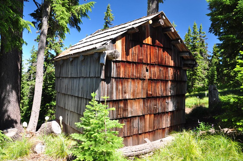
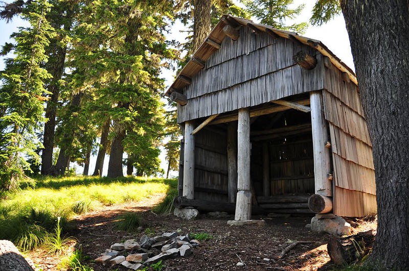
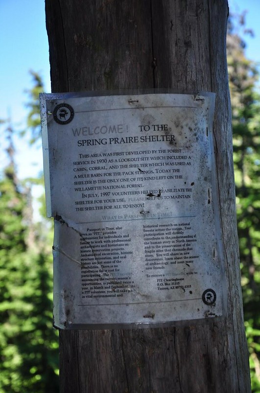
The trail reaches a road and on the other side is the historic Spring Prairie Shelter. According to a sign posted in the shelter, this area was first developed by the Forest Service in 1930 as a lookout site which included a cabin, corral, and the shelter which was used as a mule barn for the pack strings. Today the shelter is the only one of its kind left on the Willamette National Forest. In July 1997 volunteers helped rehabilitate the shelter.
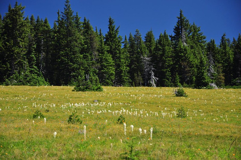
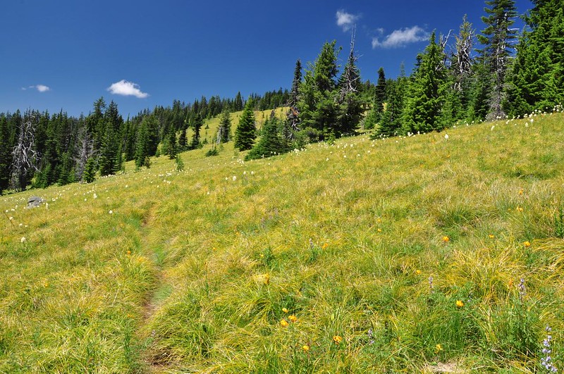
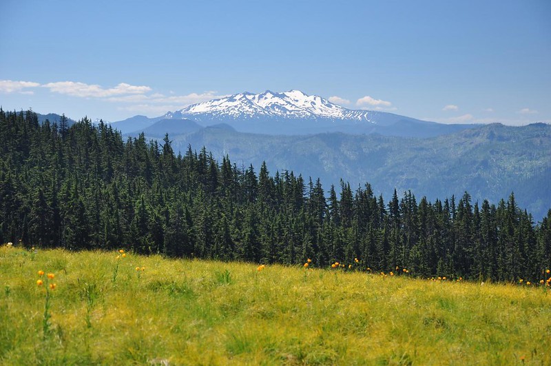
Just beyond the shelter is Spring Prairie, another enormous beargrass meadow. Views were all around. It was pretty spectacular. Diamond Peak:
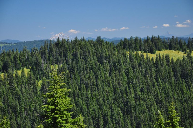
Mt. Jefferson and Mt. Washington:
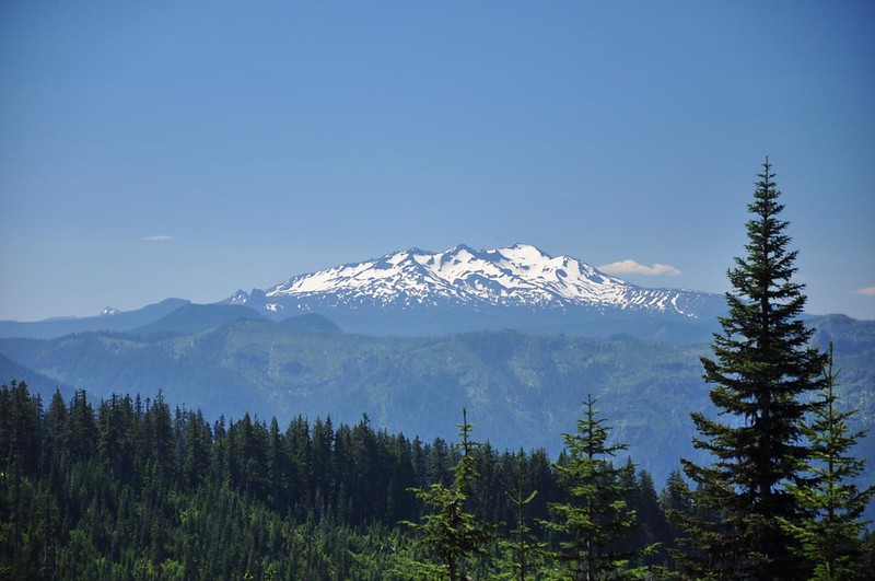
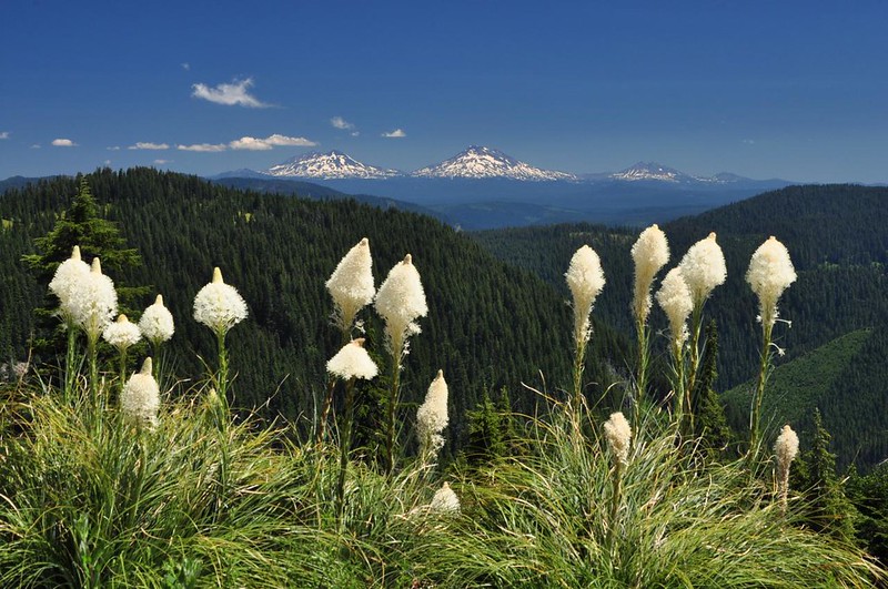
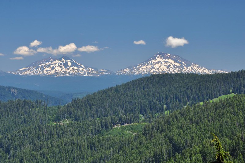
The Three Sisters and Broken Top:
Old lookout foundation:
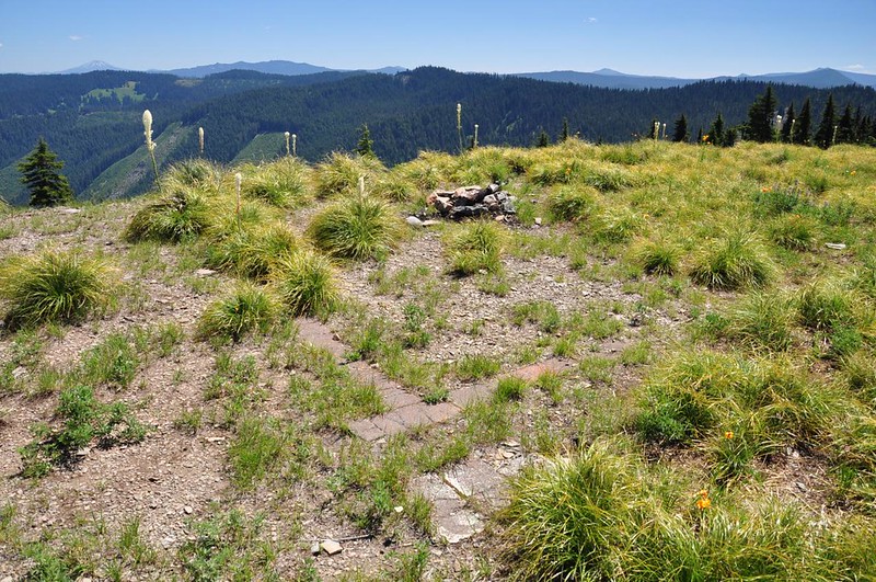
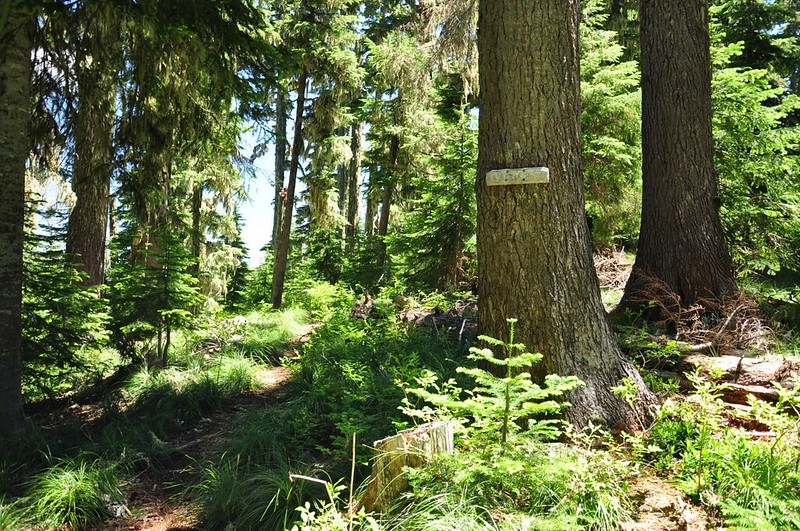
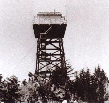
I added on the one-mile side trek out to the second Mule Mountain Lookout site. I’m not sure why they moved the lookout from Spring Prairie to the new site in 1953. Also neither lookout site is the true summit of Mule Mountain (perhaps the true summit is too forested). I hiked down the road and picked up a trail that headed into the woods, all the while being accosted by mosquitoes (they were bad here).
The trail soon split, with Blair Lake Trail #3553 headed to the left and the trail to the lookout side headed to the right. The trail was getting pretty overgrown in spots; I don’t think it’s traveled much. But with sharp eyes it’s possible to still follow it.
The old lookout, like so many others, was deliberately burned down in 1968. The area is getting pretty overgrown now and all that’s left now is a concrete step and some footings.
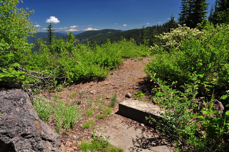
The views to the west are totally overgrown, but there is a nice view east to the Three Sisters!
I enjoyed the views for awhile then headed back. On the hike back to the car I passed three hikers who had turned around before reaching Spring Prairie. They knew they had to cross a road at some point but they hadn’t reached it so they turned around. Since they were only about 10-15 minutes from the road and Spring Prairie I encouraged them to turn back around and head up there. I hope they did.
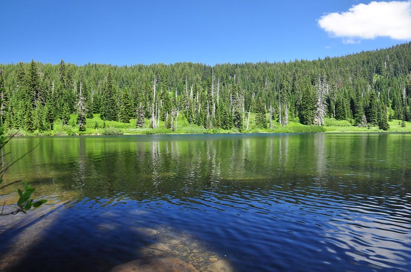
After my hike I stopped at nearby Blair Lake where the Forest Service operates a small campground with walk-in sites. What a delightful spot! I would totally love to camp here sometime (not during mosquito season).
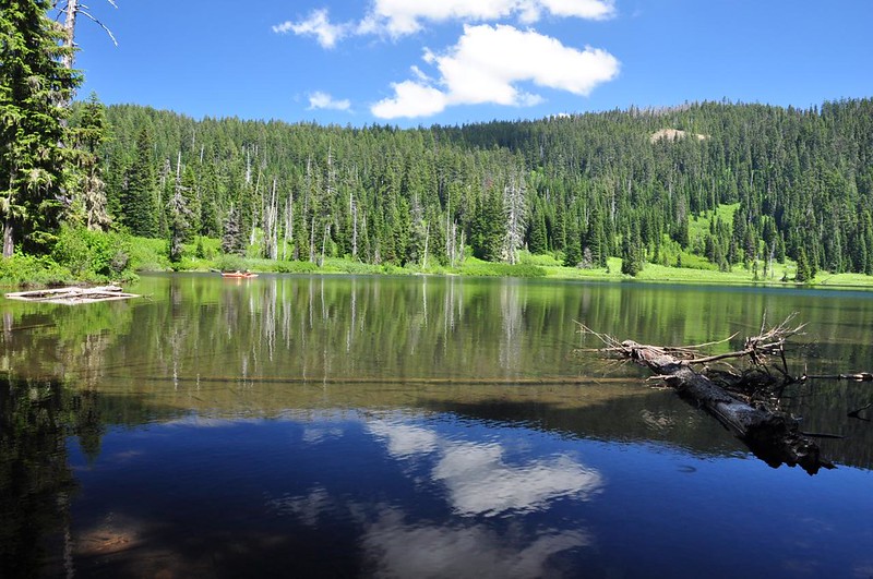
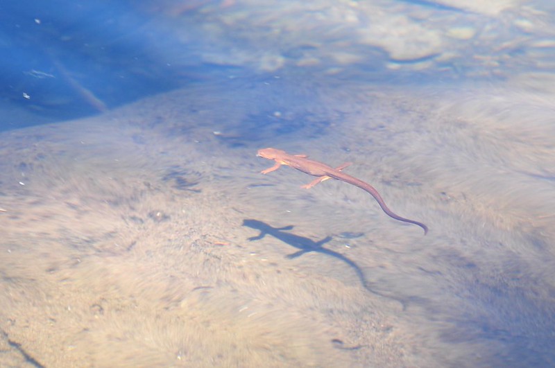
I soaked my sore feet in the water, ate some blueberries, and watched a cute little newt swimming around.
7.6 miles. Great day!


