August 4, 2016
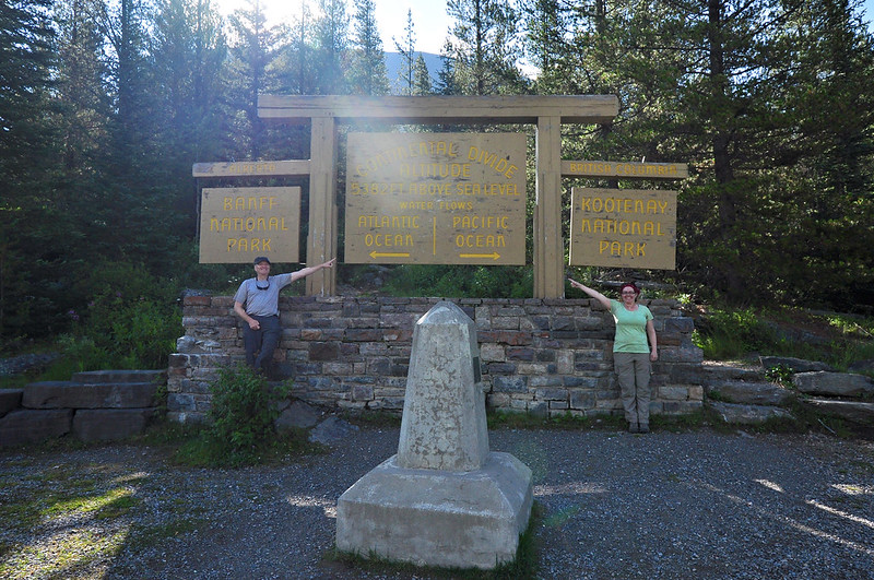
Today we checked out of our hotel in Canmore and headed to Radium Hot Springs on the British Columbia side of the Rockies. We stopped at a roadside pull-out on Highway 93 at Vermillion Pass. There is a sign there acknowledging the Continental Divide and the border between Alberta and British Columbia as well as the border between Banff and Kootenay National Parks.
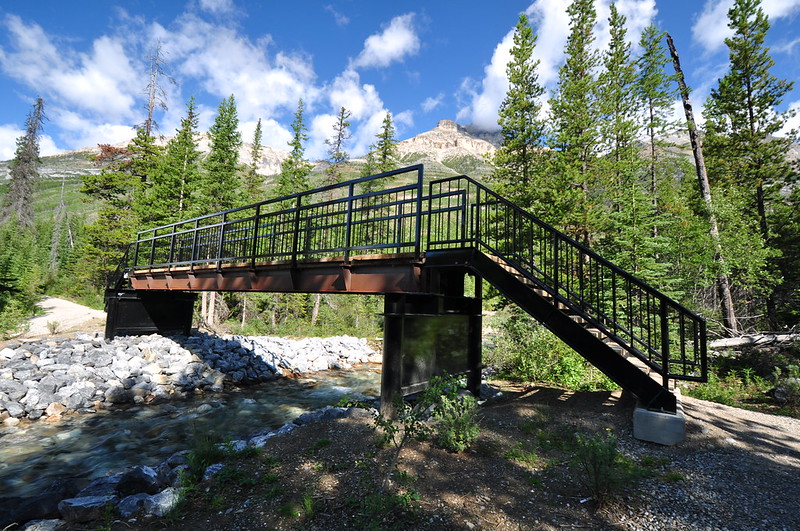
Just a short ways beyond that we pulled into the trailhead parking area for the Stanley Glacier Trail. Right away the trail crosses the Vermillion River on a high footbridge.
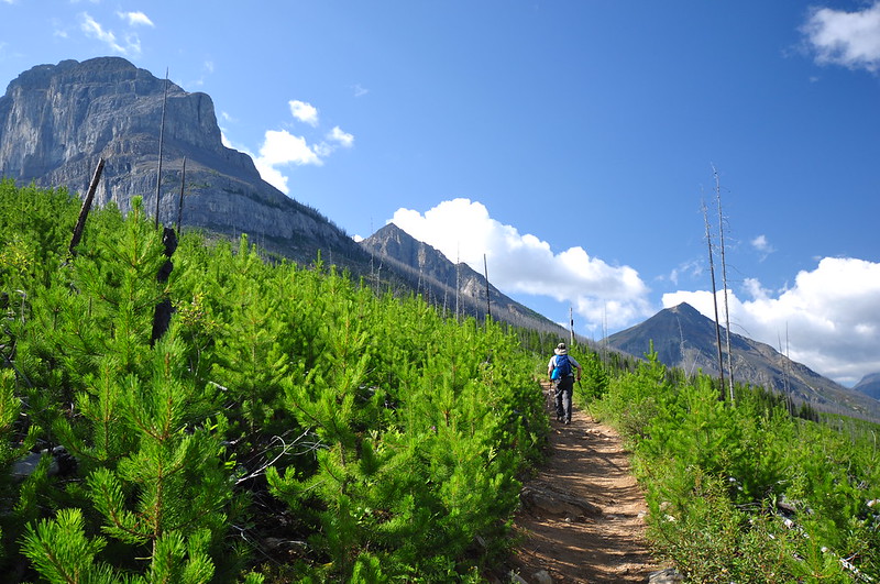
The trail climbs up the slope through a recovering forest. This area burned in 1968, but most recently burned in August 2003 when crews intentionally set a fire here to prevent the spread of the Tokumm-Verendrye Fire.
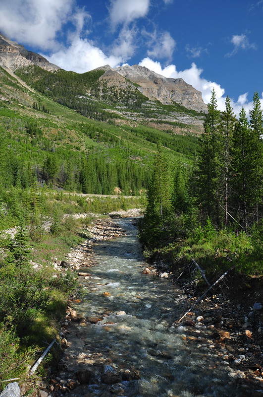
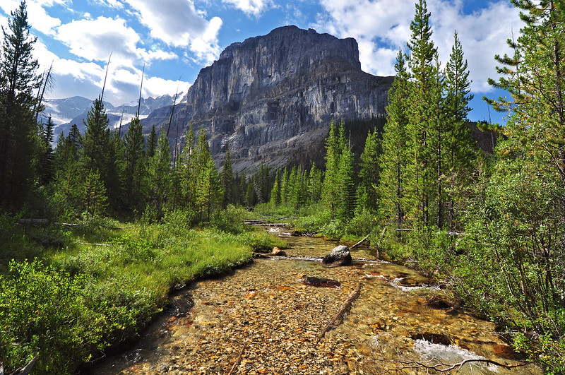
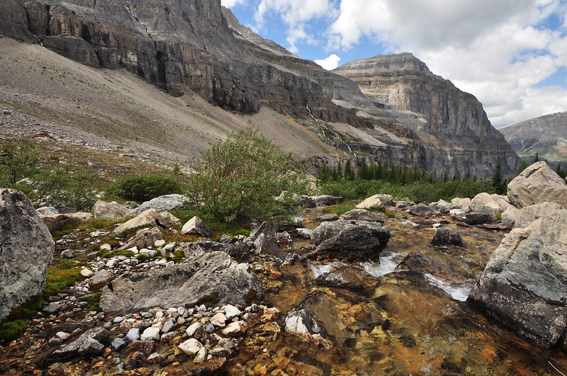
The trail crosses Stanley Creek at this super lovely spot backdropped by Stanley Peak:
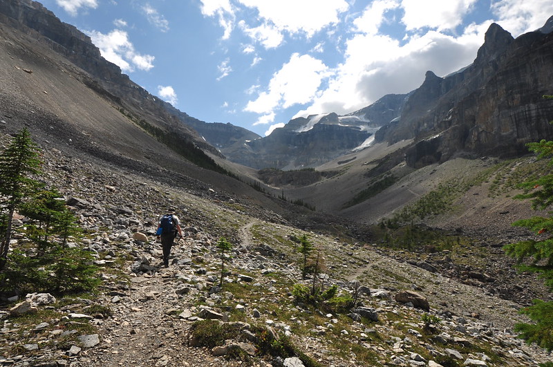
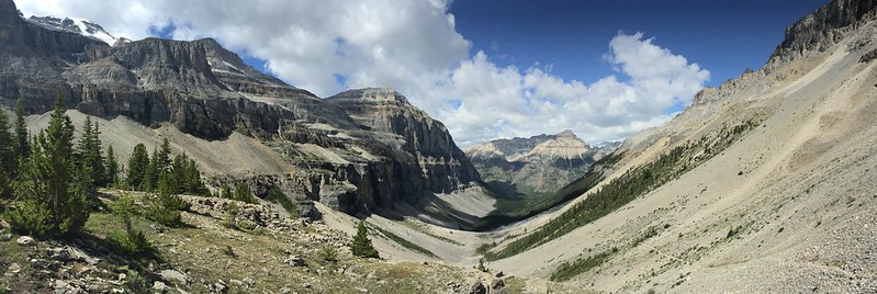
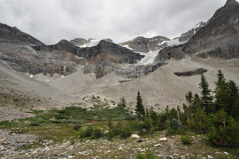
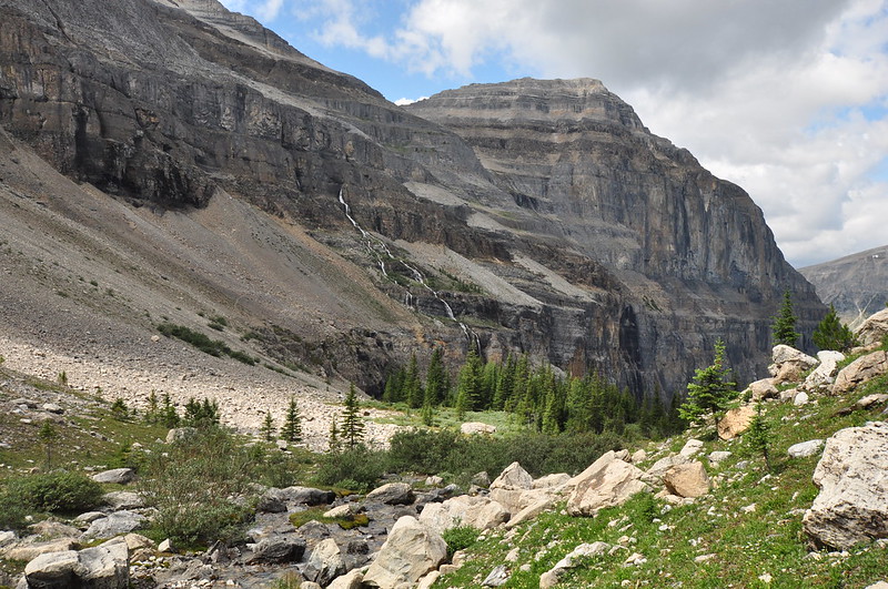
The trail emerges from the forest and begins climbing up the rocky valley toward our destination, a sort of rocky plateau at the head of the valley, which you can make out in the distance:
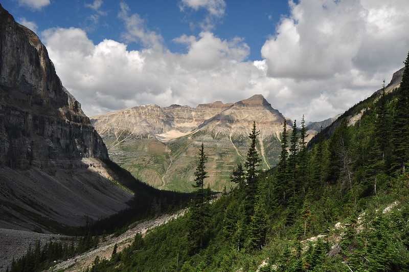
Looking back at the way we came and Mt. Whymper across the highway:
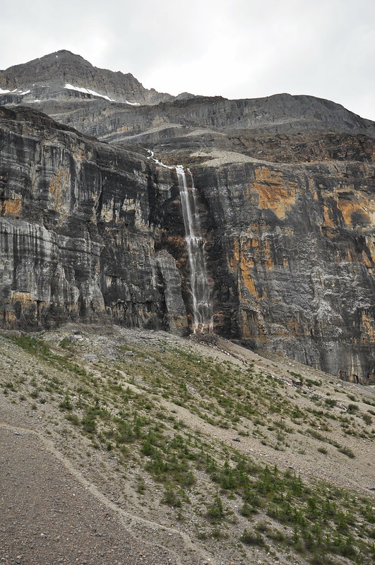
Meltwater from an upper snowfield was creating this cool waterfall down the limestone cliff:
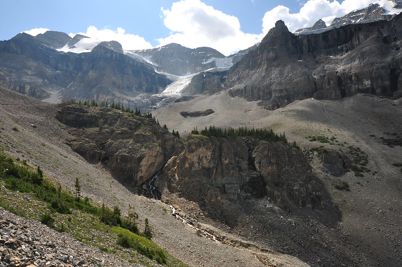
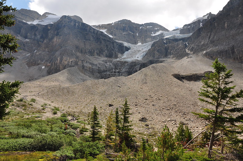
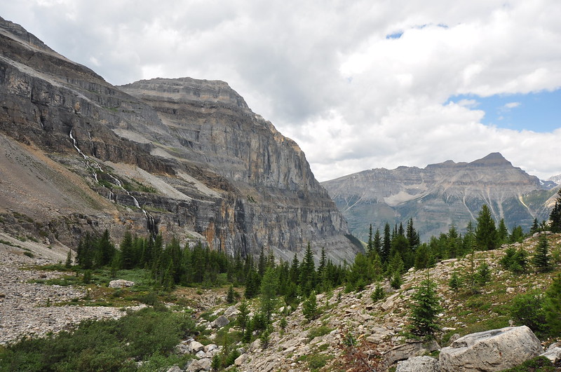
Getting closer to the plateau:
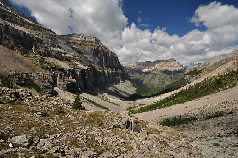
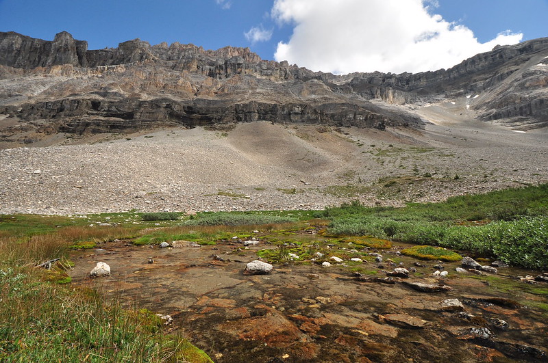
Looking back down they valley once we reached the plateau:
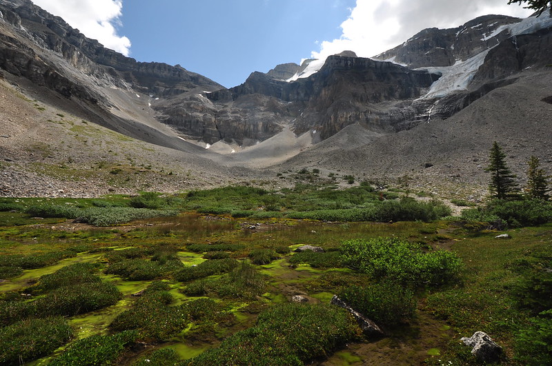
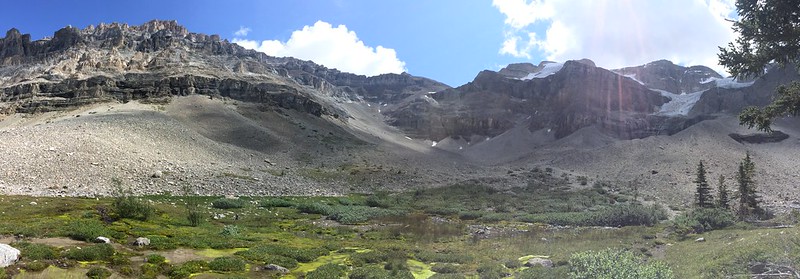
The plateau sits just below the Stanley Glacier and is a lovely spot with a forest and a marshy meadow area:
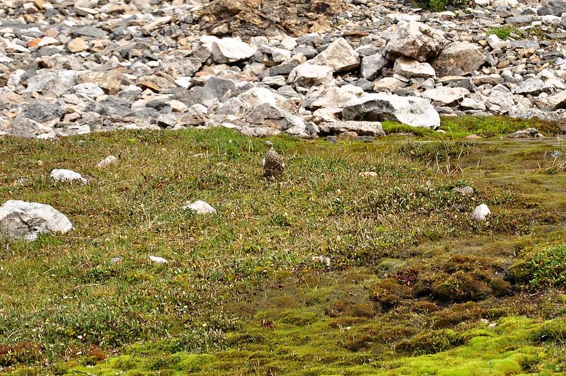
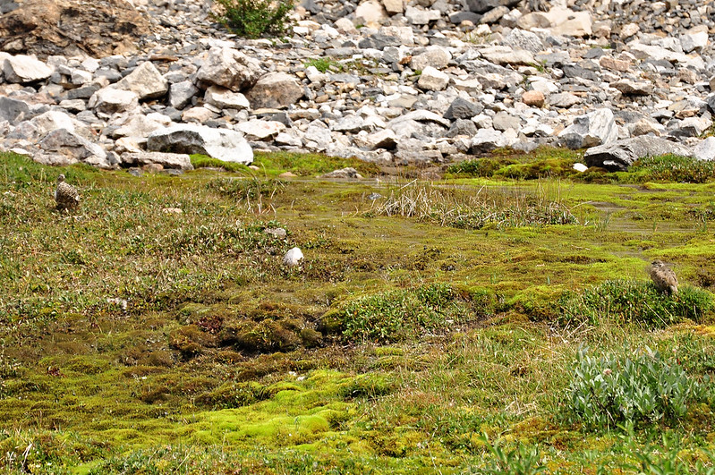
We saw several ptarmigan up there as well. Cool!
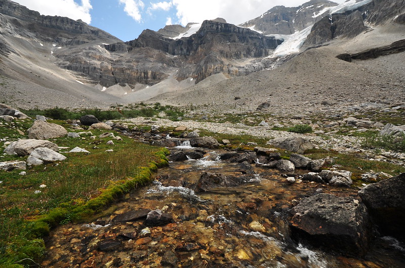
The water flowing from the glacier is the start of Stanley Creek, a delightful burbling body of water:
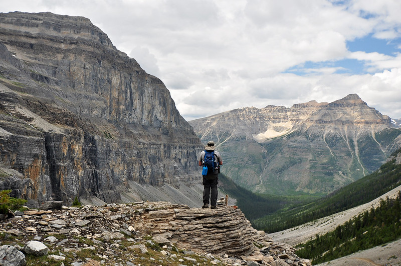
After hanging out on the plateau and enjoying the lovely spot, we headed back down. Greg paused at the edge of the plateau to admire the view:
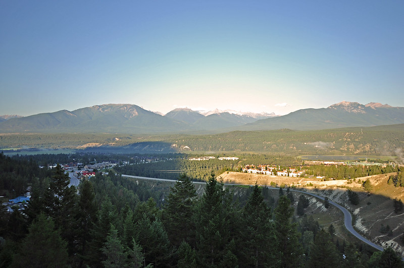
Back in the car we drove all the way through Kootenay National Park to the other side and the town of Radium Hot Springs where we checked into our hotel. The hotel turned out to be not very good, but we did have a nice view west of the mountains.