Thursday, August 18 – Saturday, August 20, 2022
I had a four-day weekend to go backpacking and I decided to head into the Goat Rocks Wilderness.
This was not my first choice. I had originally intended to choose from one of several possible itineraries in the Alpine Lakes Wilderness, but thanks to the cold wet spring and late-melting snowpack, the mosquitoes were terrible this year and lingering longer into late summer than usual. So I settled on Packwood Lake, which I had never visited and was lower in elevation.
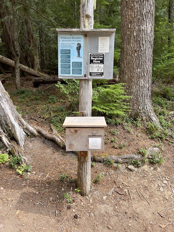
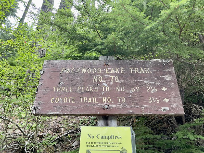
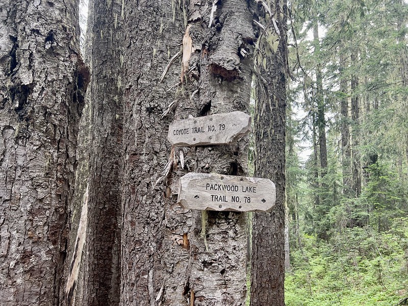
I have long thought that the Forest Service needs to do a better job with their signage. Some trails don’t have enough signage. This, however, is beyond overkill. Literally no one is going to read all this:

I was surprised to this sign. I never seen rangers on patron in national forests. It would prove to be true:

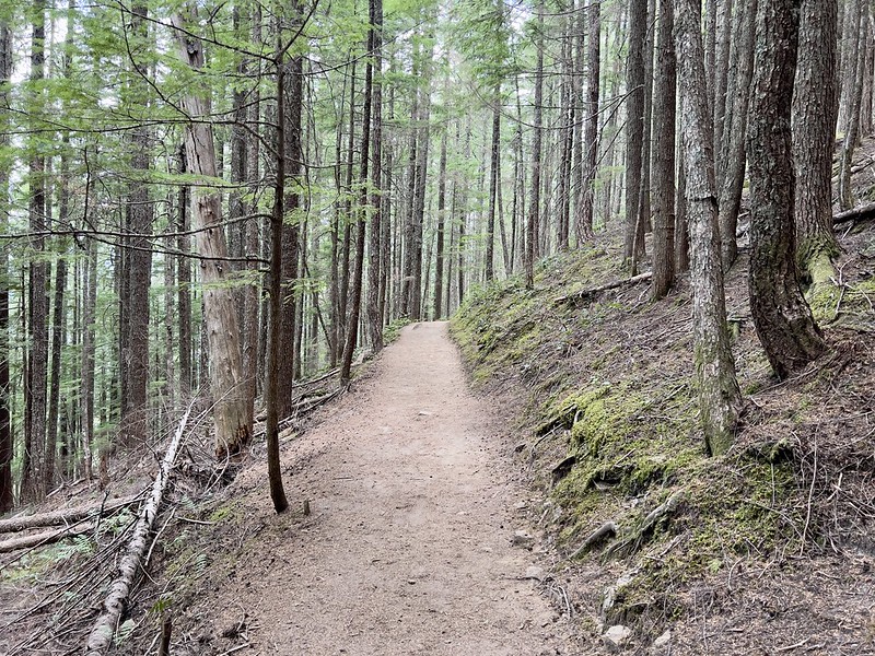
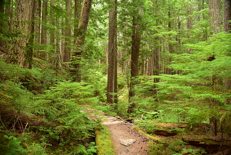
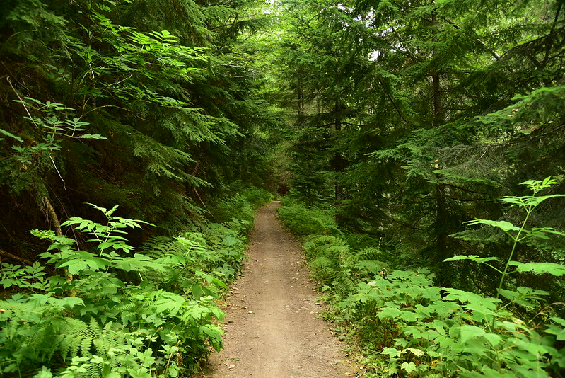
The trail is about as easy as they come, pretty flat and nice and carpeted in soft forest duff:

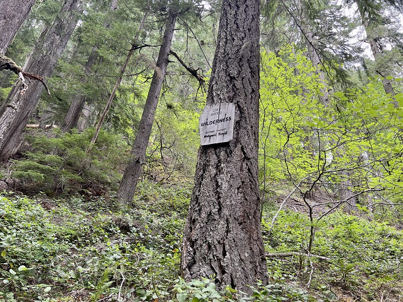
The trail enters the Goat Rock Wilderness for awhile before popping back out of it again:

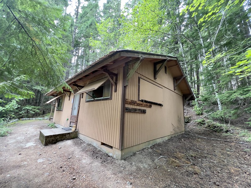
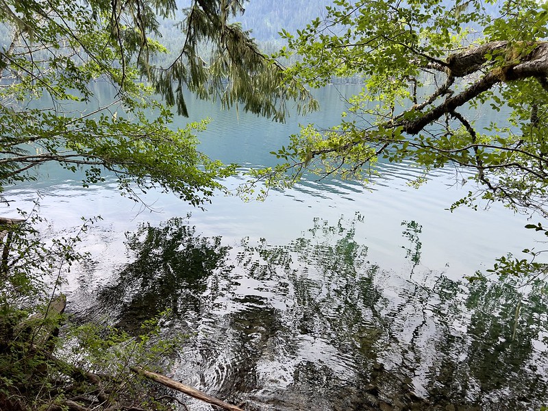
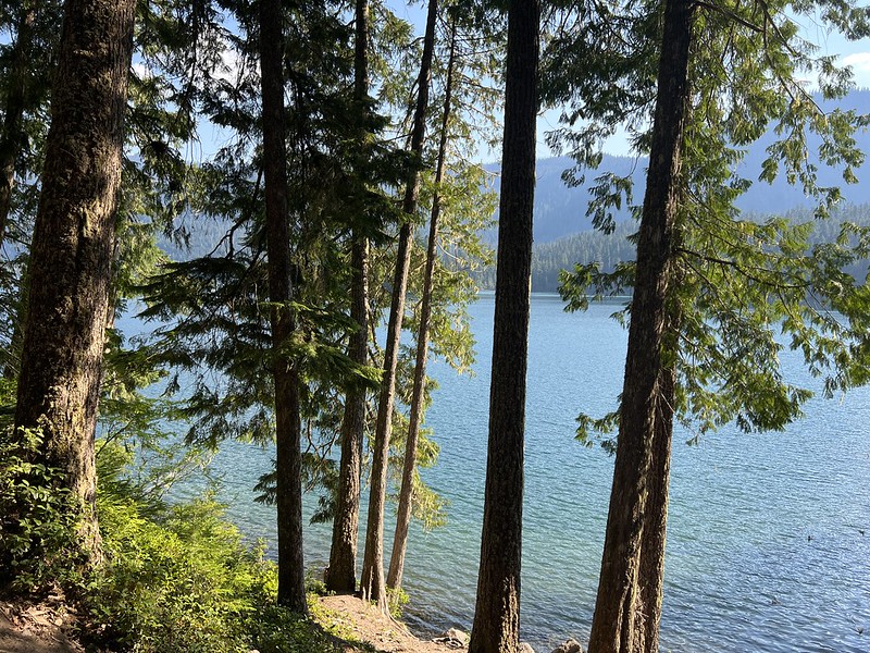
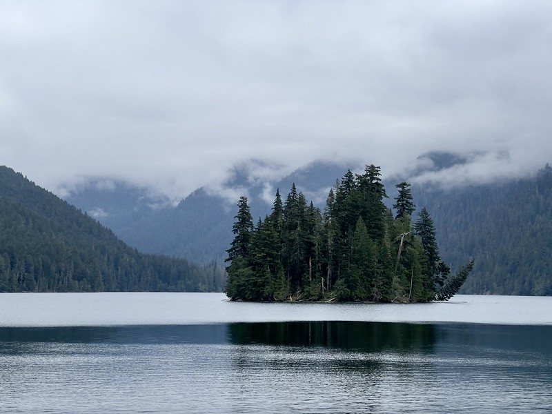
The trail reached the shoreline of the lake. According to Gaia it was 4 miles and a mere 390′ elevation gain to get to this point. There was a cabin here. I later learned this was where the ranger was stationed:

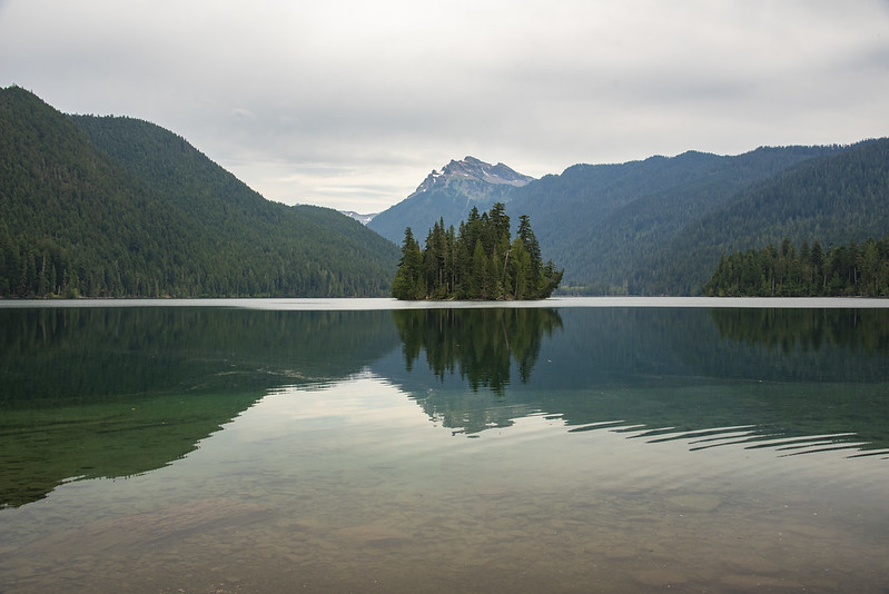
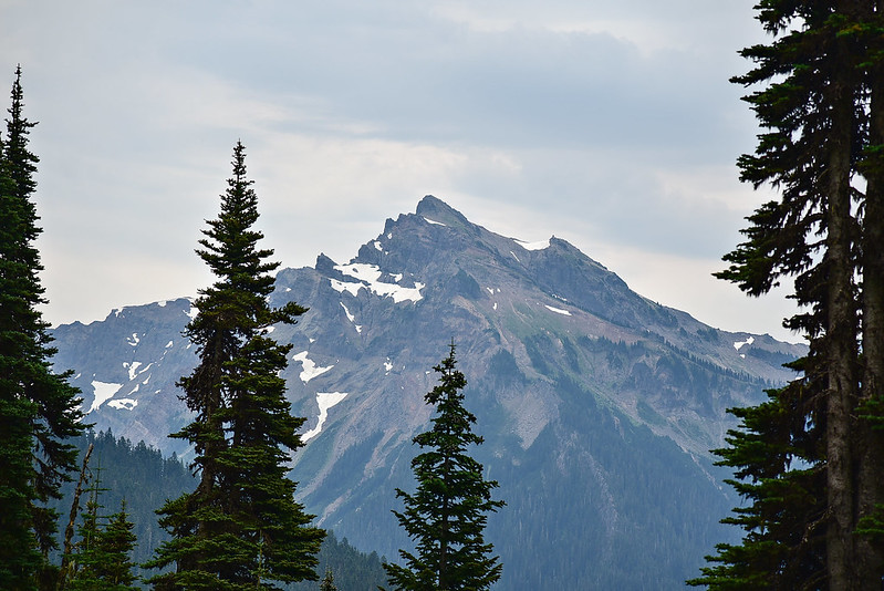
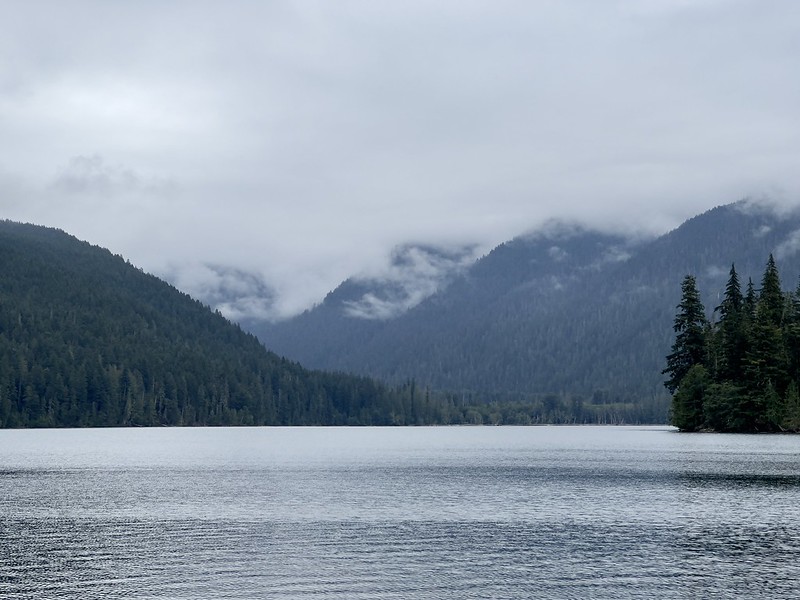
It was very cloudy and very humid. Fortunately the clouds were high enough I could see the mountains:

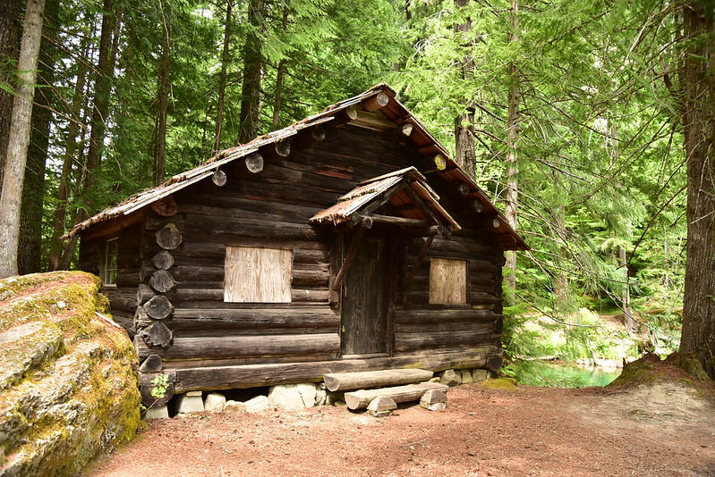
I passed an old 1910 guard station, which is no longer in use:

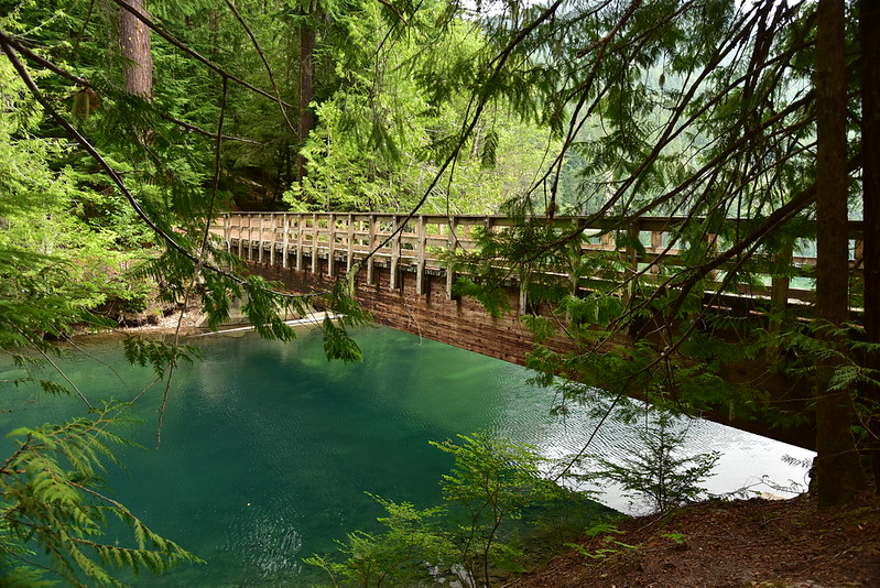
Just before crossing the footbridge over the outlet is another crowded signboard:

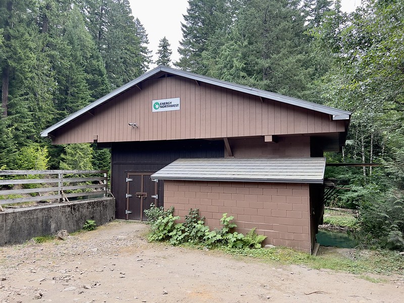
Just downstream of the bridge over Lake Creek is a hydroelectric dam. In their book 100 Hikes in Washington’s South Cascades & Olympics, Ira Spring and Harvey Manning do not mince words about this:
To the shame of our species, man has done his dirt on this scenic treasure. Washington Public Power Supply System was allowed to dam the outlet to gain a small amount of “peaking” power and in the name of flood control the Federal Power Commission permits the lake level to be lowered 7 feet from September 15 to May 1. Packwood Reservoir. Call it what they have made it.
You can see the dam by walking the Pipeline Road a short ways down from the lake:


A mile after the bridge crossing I reached the permit box at the wilderness boundary. Past this sign wilderness rules apply, including group sizes being limited to 12 or less:
I was passing lakeside campsites, but they were all occupied, or were too close to other people. Having no desire to listen to other campers and their noise, I kept going. Finally 1.7 miles from the bridge crossing I found a good campsite.

It didn’t have a good view to the lake thanks to tree branches, but it was kind of like having my own secret swimming alcove:
After I set up camp I continued down the trail to the far end of the lake to explore:


When I was almost at the end of the lake I ran into the ranger that the sign warned about. He said his position was funded by Energy Northwest, the company who operates the dam. He was in the process of dismantling the many dozens of fire rings along the lake shore. He had many dozens more to go. What a task! Sad to think that by this time next year they will all have been rebuilt. There is a fire ban right now and he said he would be ticketing anyone who built a campfire. Good!
Earlier I had passed part of a Mormon church group. Now the entire group was together and they approached as I was talking to the ranger. It only took one glance to see that the group was larger than 12. Just before I made my way out of there to let the ranger do his job, one of the boys at the front blurted out without being asked “There’s about 16 of us.” The ranger said “that’s going to be a problem.” I left them to it and headed down the trail.
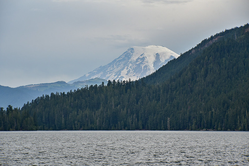
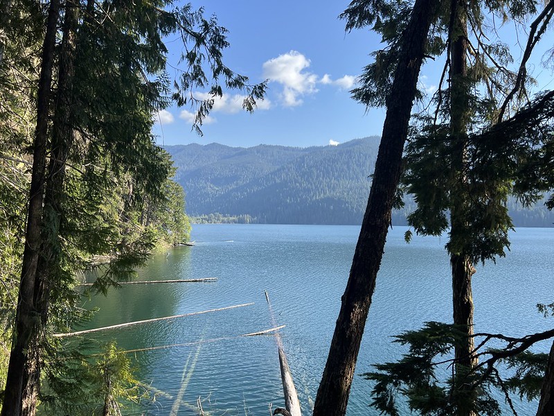
The main trail does not actually to the lake inlet. I followed use trails through the trees and brush, walked on some washed-up logs, and finally made it to the spot where Lake Creek flows into Packwood Lake. Turns out there is a view of Mt. Rainier here:
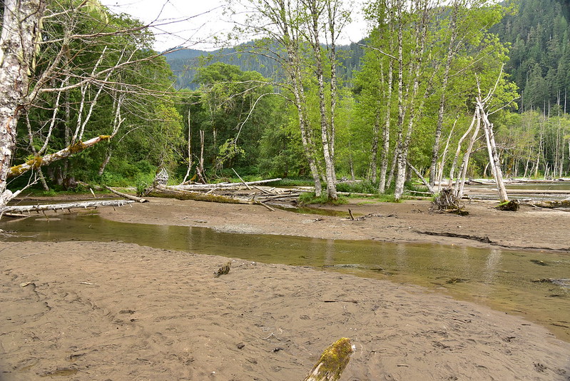
The inlet area is broad and sandy:
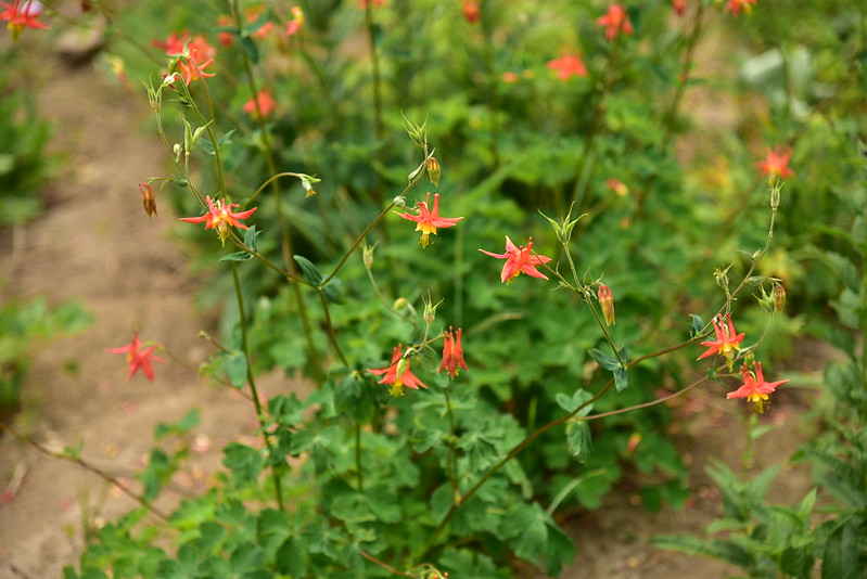
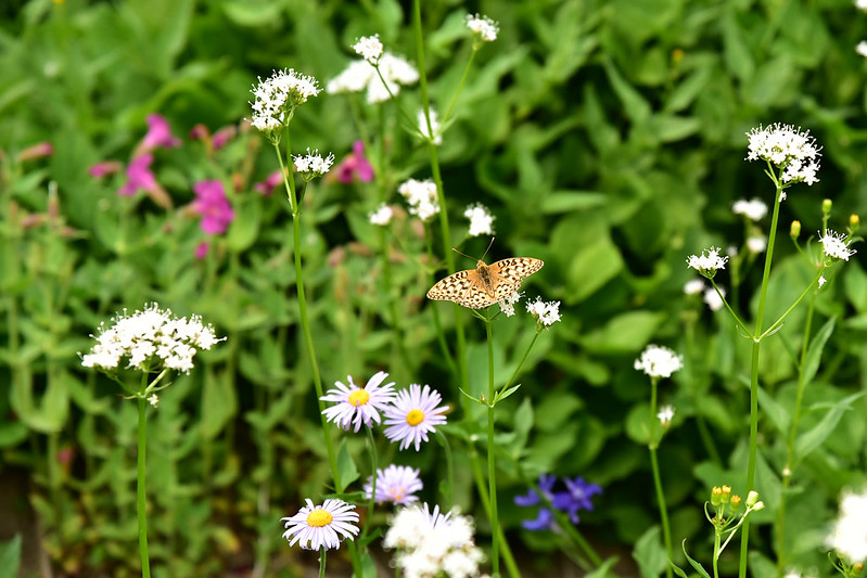
Cute wildflowers in bloom:

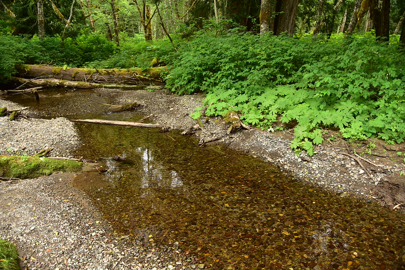
I weaved my way through the trees and made my way a little bit up the creek. The water was clear and cold. It was still very warm and very humid and I kind of wanted to sit here and soak my feet, but this spot was pretty buggy, so I didn’t linger:
I headed back on the use trails to the main trail. The boys from the church group were spread out setting up camp in a huge spot by the lake. The men had just parted ways with the ranger and I heard one of them say “I saw the sign saying that group size was limited to 12 so that’s what I put on the permit because there are 12 boys.” Oh come on! Give me a break.
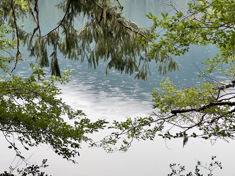
The humidity was oppressive and I went for a dip in the lake, which felt so refreshing. I filtered water then sat in my chair at camp reading my book. We got a little bit of rain in the afternoon, but I never felt any of it under the protection of the trees. I only knew it was raining because I could see it on the lake surface:
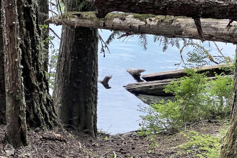
I made dinner and went to bed. The next morning as I was puttering around camp I saw two otters. So cool!
My original plan had been to pack up camp and move up to Lost Lake for the next two nights. But in the morning I knew I had to scrap that plan. My foot had started hurting just two miles into the hike yesterday. It hasn’t bothered me all summer, but the heavy overnight pack was too much. My foot did not feel better today and I knew it would be a bad idea to go any further than necessary with an overnight pack. I briefly considered just heading home. But it was only Friday. I couldn’t bear to waste the rest of this weekend. So I decided I would keep my camp here at Packwood Lake and do a day hike up to Lost Lake today.
I was camped about two-thirds of the way down the lake, so passed a lot of campsites as I headed north towards the junction where I would turn uphill towards Lost Lake. There were so many people with tents and hammocks. Rafts and SUPs and all manner of floatation things were scattered around campsites. As I was passing one campsite a pair of dogs rushed at me barking furiously, ignoring their owners calls. “Don’t worry, they’re friendly,” I heard. “They don’t sound friendly,” I said as I kept hiking. I was glad to be camped away from all this madness. Ira Spring and Harvey Manning said it best: “This easy hike attracts people who cannot bear to leave home without their radios, beer, and gas lanterns.” Except now it is bluetooth speakers.
I reached the junction and turned uphill, following the continuation of the Packwood Lake Trail. (Yeah, I know that’s confusing. The trail that follows the shore of Packwood Lake is actually Upper Lake Creek Trail #81.):
The trail climbed steeply and I was glad to only be carrying a day pack. This forest was really pleasant with some big shady trees:

I re-entered the wilderness:
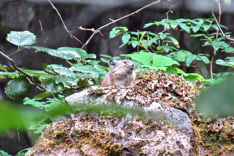
The trail crossed a rocky area with a lot of vine maple. Incredibly I spotted a pika through the foliage:
The trail got a bit brushy as it approached Mosquito Lake:

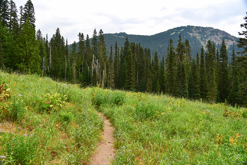
When I reached Mosquito Lake I just barely got a glimpse of it through the trees. It looked like littel more than a pond and there was no visible use trail to reach it, so I kept hiking. 2.5 miles from Packwood Lake I passed the junction with the Three Peaks Trail, which is easy to miss. It’s not maintained anymore and by all accounts it’s not worth doing. I imagine it will eventually fade from maps:


Around this spot is where I started seeing a whole lot of huckleberries. Yum!

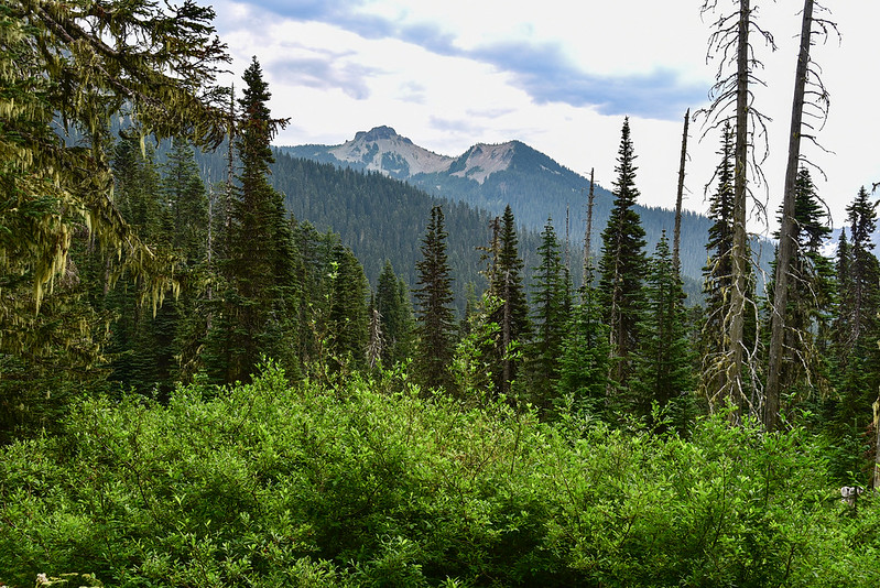
It was another warm and cloudy day, horribly humid. Again the clouds were high so I caught glimpses of the mountains through the trees:
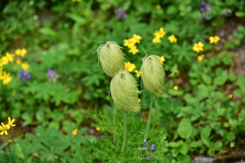
Most wildflowers were done, but there was one spot still blooming:

0.9 miles after the Three Peaks Trail junction I reached the junction with the Coyote Trail:
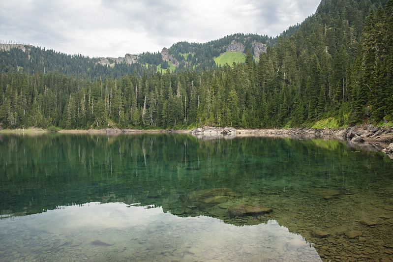
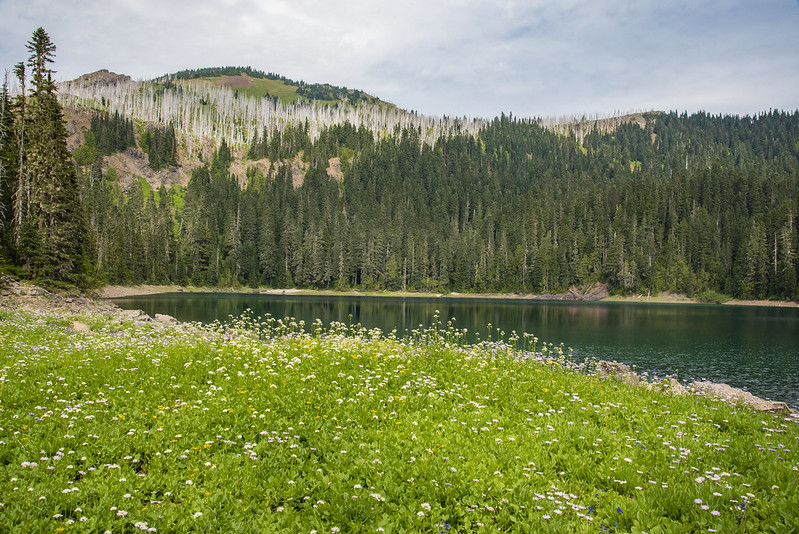
Then 0.4 miles after that I reached Lost Lake:
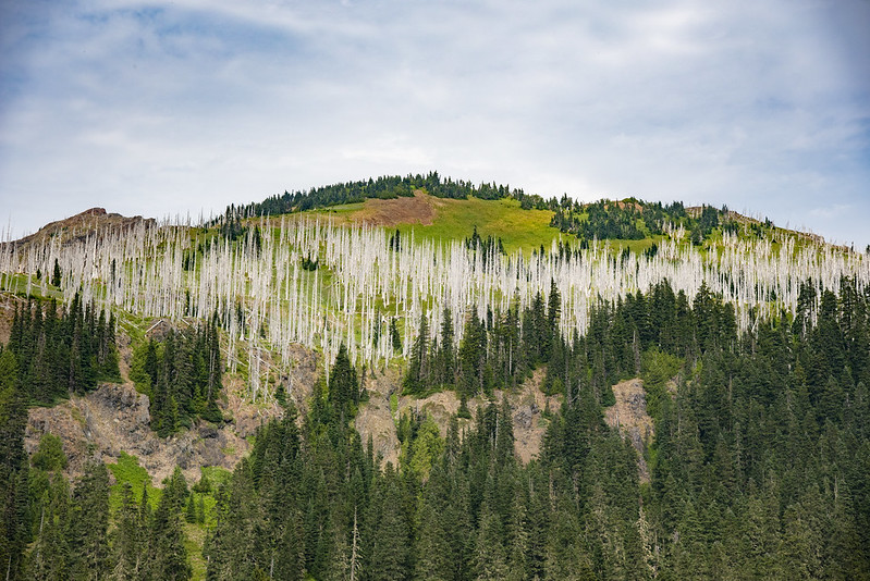
Those burned snags up there are from the small 2003 Lost Lake Fire:

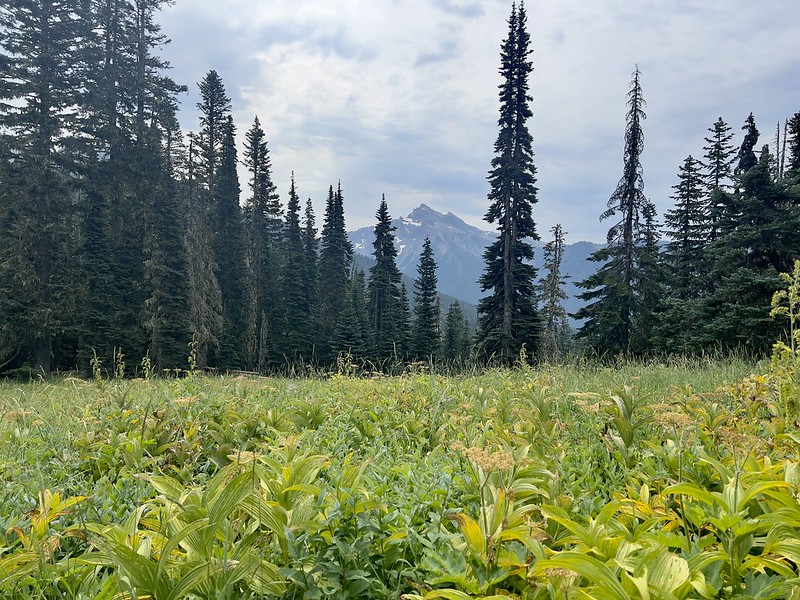
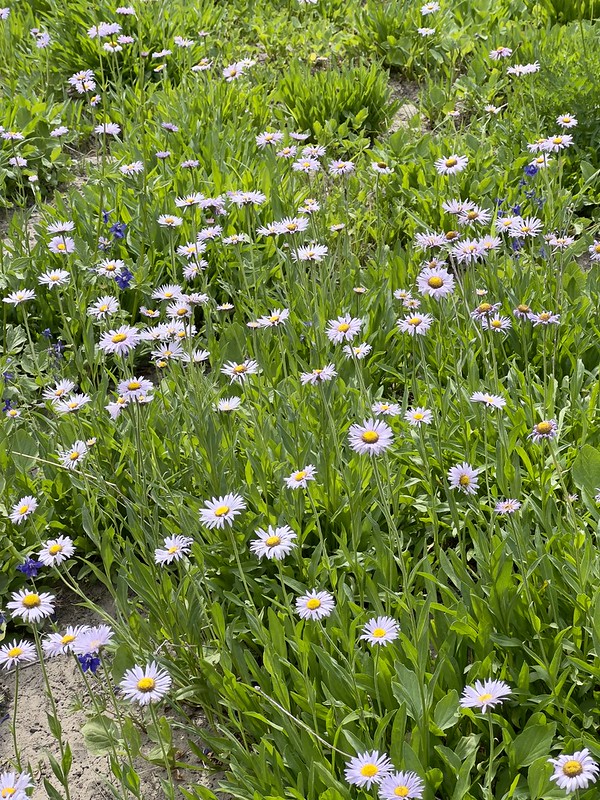
I was pleasantly surprised to discover a nice wildflower meadow by the lake. How lovely!
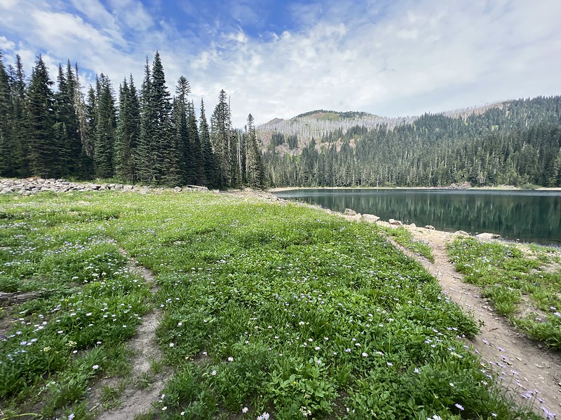


I had to put on bug spray as the mosquitoes were out, but once I did that they stopped bothering me. I’m sure they were MUCH worse a few weeks ago. The lake level is down quite a bit at this point in the summer, so there was a lot of exposed shoreline. I sat on a rock at the waterline, took off my boots, and put my feet in the water:

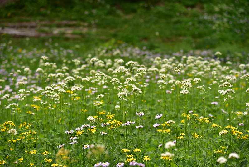
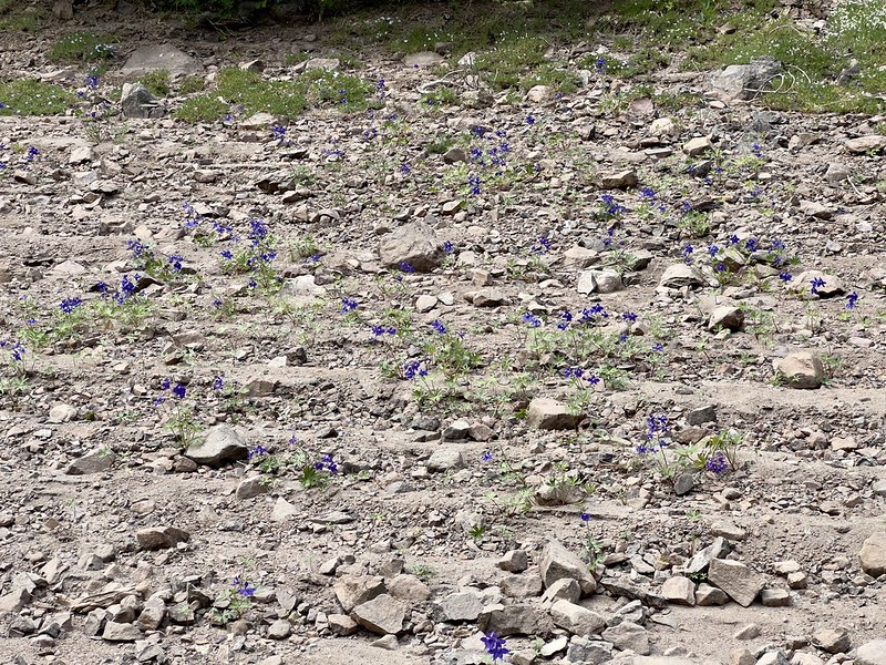
Much of the exposed shoreline was blooming with little delphiniums, and even a patch of phlox!

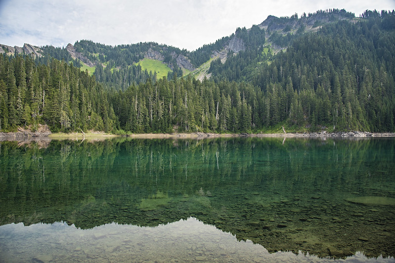
My feet-soaking view. That water is so green!
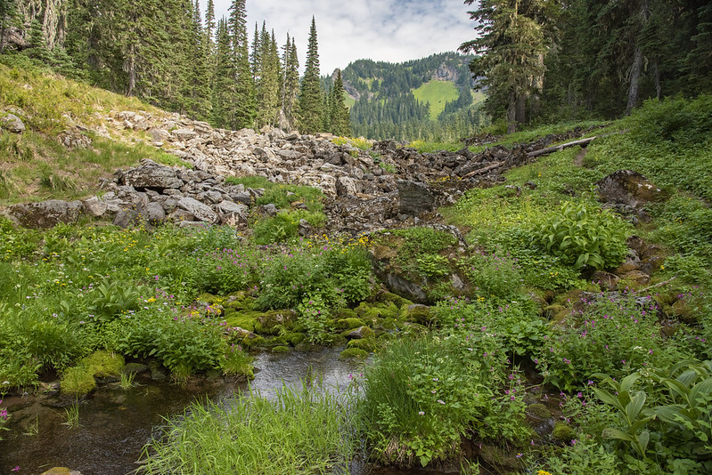
There was no visible outlet to the lake, but I could hear running water a short distance away. After I was done relaxing and eating my snack I packed up and went in search of the water I heard. I followed a rocky area down to a spot where water was flowing out from beneath the rocks. Perhaps Lost Lake drains underground to this spot? In any case, it was very pretty here with lots of monkeyflower in bloom:


A group of three women had arrived to set up camp at the lake, but otherwise there was no one else around. I wished I too was staying here, but I knew I wouldn’t have made it up here with my overnight pack, not with my foot bothering me. It was time to head back to Packwood Lake. On the way back the clouds burned off and I could see blue sky:

I got back to the lake around 5:15 and hiked down the lakeshore to my campsite. The horrible humidity had eased now that the clouds were gone:
Even with the lighter humidity it was still very warm, so back at my campsite I went for a refreshing dip in the lake. I made dinner and watched as the clouds started rolling back in again. The clear skies had only lasted a few hours. On the plus side the clouds made for a very pretty sunset:


Saturday morning the clouds were very low. The temperature had dropped too, so it didn’t feel muggy:
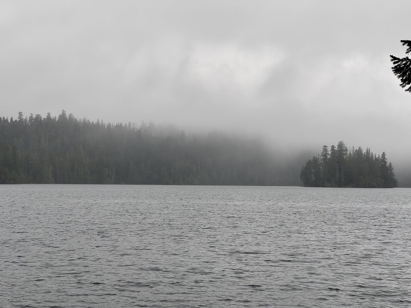
Originally today I would have been camped at Lost Lake and my plan had been to day hike up to the Lost Lake lookout site and to Lost Hat Lake. Instead I would be hiking out a day early. I had no desire to be at Packwood Lake on a Saturday night, knowing it would be busy and loud. I was content with the three days and two nights of this trip and glad I was able to salvage something of the trip despite my foot. After a leisurely morning at camp I packed up and headed out. The view was a lot different today than it had been on Thursday:


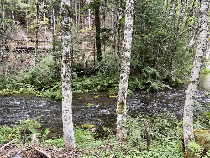
Wanting to avoid the incoming Saturday hoards I hiked out via the Pipeline Road instead of the Packwood Lake Trail. This turned out to be a great choice. For one thing the first part followed Lake Creek, which was pleasant:
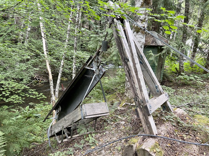
I passed the remains of an old cable car that must have once crossed the creek here:
People with dirt bikes, mountain bikes, strollers, etc. can access the lake via this road. It was not unpleasant to hike this road:

At one point there’s a trail for hikers that diverges from the road:

The trail joined back up with the road and I continued back towards the trailhead. The thick morning clouds were burned off quickly as I approached the end of the hike. The road comes out an equestrian trailhead just below the main trailhead:

There were a whole lot more cars in the lot than there had been on Thursday, of course. Several people eyed me as I got ready to leave, hungry for my spot. I was glad to be leaving!
This is a pretty area. It was unfortunately to have so many clouds and such high humidity, but it’s better than wildfire smoke!
Gaia stats: 23.7 miles, 3,250′ elevation gain.
Video:


