Saturday June 19, 2021
After yesterday’s incredibly long hike to Pearsoll Peak I was somehow up for another hike today and decided to do Eagle Mountain.
The trailhead is about a mile north of the Babyfoot Lake Trailhead. It is sometimes referred to as Onion Camp, although the Forest Service calls it the Kalmiopsis Rim Trailhead:

This is the view north from the trailhead: Whetstone Butte, Pearsoll Peak, and Gold Basin Butte:

Zoomed-in on Pearsoll Peak, which I hiked yesterday:

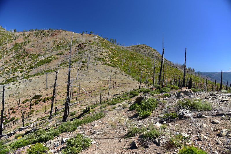
I set off up the trail. This area burned in the 2002 Biscuit Fire and the 2017 Chetco Bar Fire, so there is little shade:


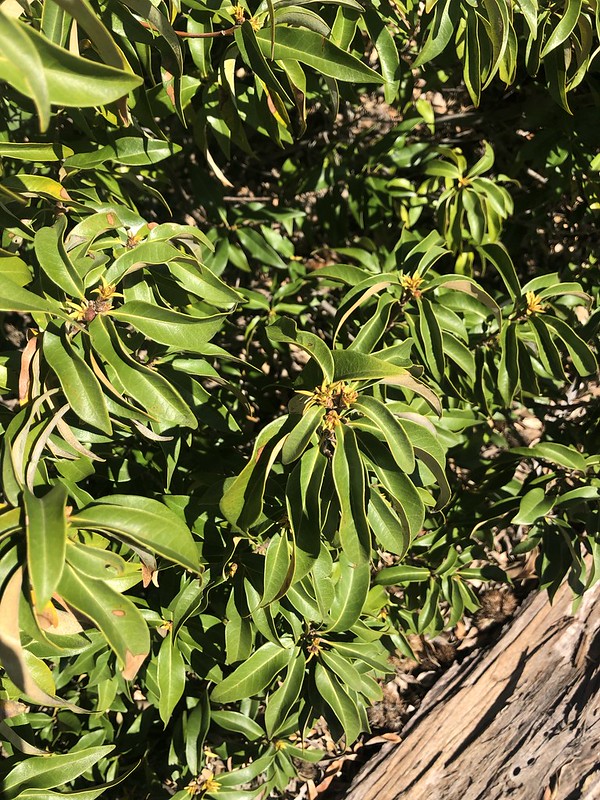
There was lots of snowbrush, and lots of this Golden Chinquapin:


I topped a rise and got a view of Pearsoll Peak, Eagle Mountain, and Whetstone Butte:

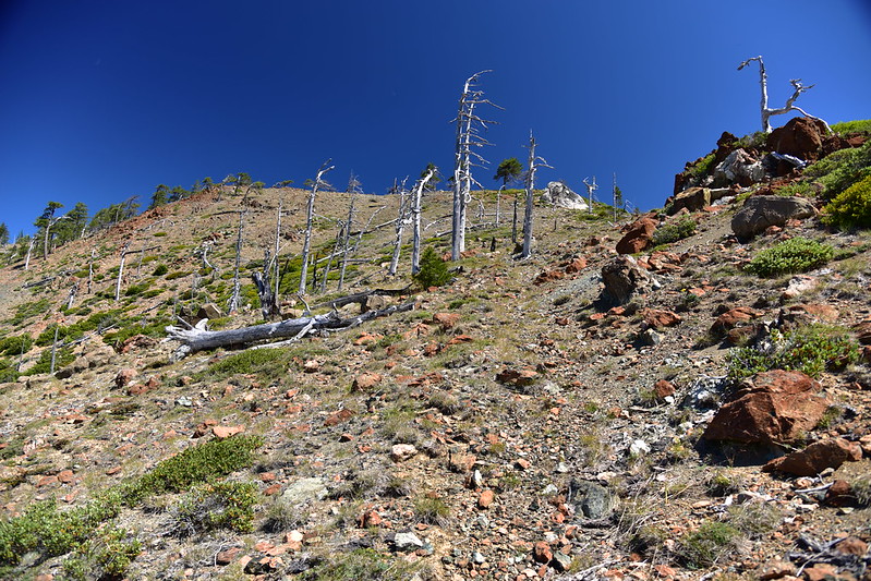
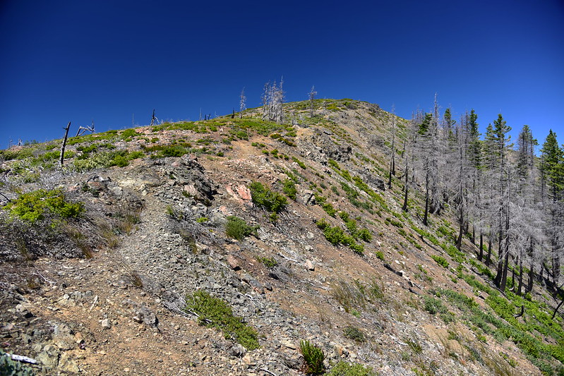
The trail was easy to follow here, but that would eventually change:

Approaching Whetstone Butte:

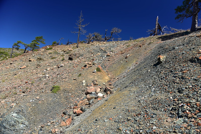
The trail goes around the west side of Whetstone, losing elevation as it goes:
Views to the west into the Kalmiopsis Wilderness:
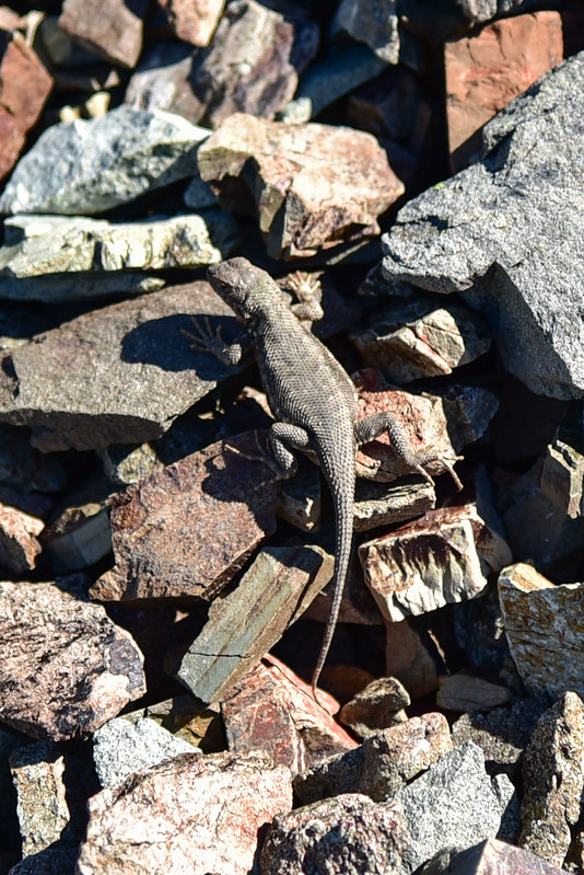
Lizard:
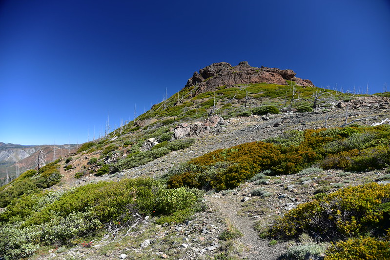
Eagle Mountain came into view ahead:

The trail reached Eagle Gap, a saddle between Eagle Mountain and Whetstone Butte:
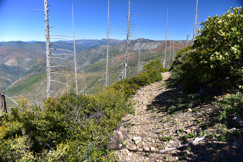
The trail became faint here, but I managed to pick it up again. It headed steeply uphill from the gap:
The trail became a trench for awhile:
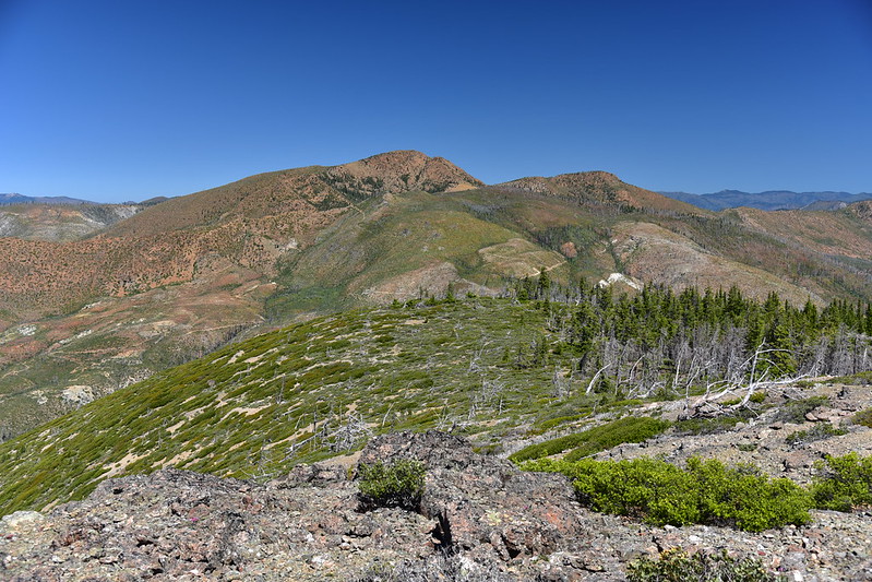
I hiked along the ridge:

I found a geocache up there. The ammo can survived the fire four years ago, as did its contents. The only casualty was the plastic bag that the logbook had been in:

I reached a saddle with a campsite:

Heading up Eagle Mountain:

The trail doesn’t quite go to the summit. This is where I headed cross-country for about 0.1 miles:

The summit:

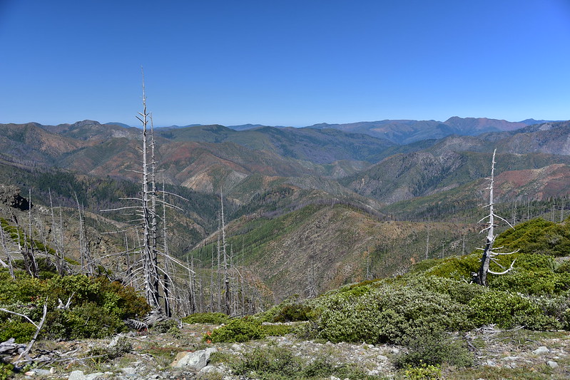
At one time the views up here weren’t great, but now that the trees have burned the views are 360 degrees. Looking back the way I came with Whetstone Butte on the left:

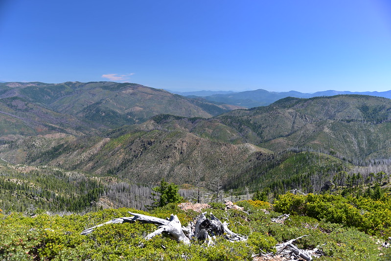
Views into the Kalmiopsis Wilderness:


Pearsoll Peak to the north:
Illinois River far below to the northeast:

Looking southeast:
It was VERY VERY windy but I managed to find shelter behind a large rock so I could sit and take a break and enjoy the view. Then I headed back to the car before the day became too hot. Descending:

From Eagle Gap it was quite a slog ascending uphill along Whetstone Butte:

A butterfly photo-bombed my pentstemon and made it better:

I never saw another hiker all day, nor another car at the trailhead. I don’t think this one sees many visitors, but it’s quite a scenic hike and because of the good road access it’s very doable for most people.
Gaia stats: 5.5 miles, 1,380′ elevation gain


