Sunday, July 29 – Tuesday, July 31, 2018
Greg and I have been wanting to do the hike to Ice Lake for quite awhile and we finally made it happen this summer.
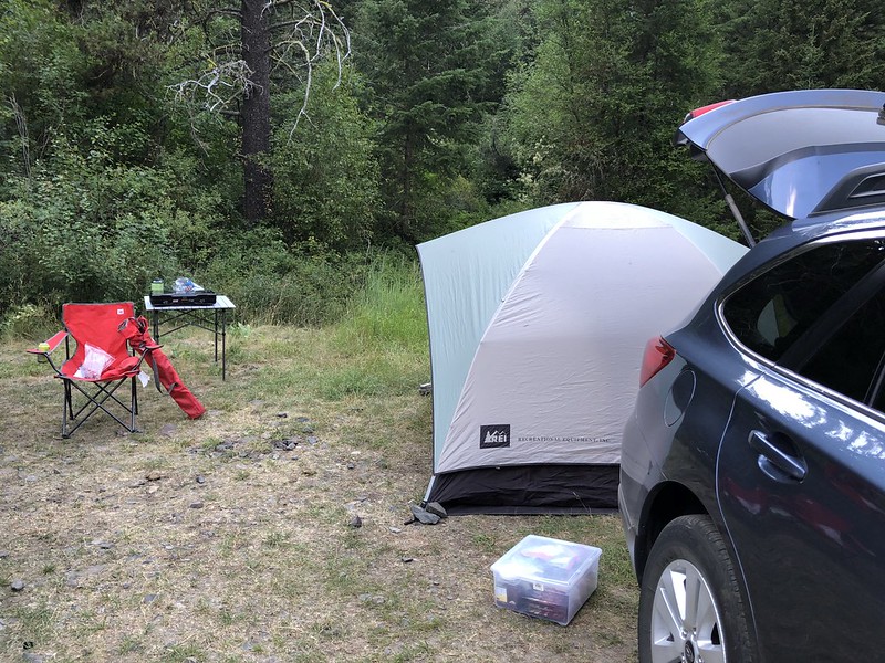
On Saturday the 28th we left Portland and headed east, arriving in Enterprise at 3:45pm and driving down Hurricane Creek Road to look for a campsite. All the dispersed sites were taken, so we just pitched our tent at the Hurricane Creek Trailhead. This trailhead is used by equestrians, so it was a bit stinky, but it was just for one night. The cooler temps sure were nice! It had been in the mid-80s in Enterprise but back in the canyon it was in the mid-70s.
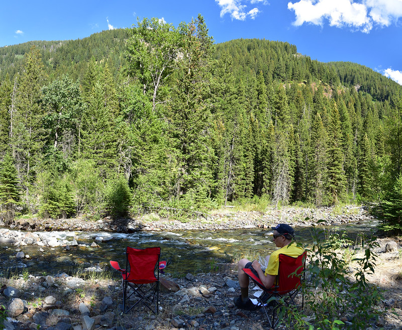
The trailhead parking was a little bit above the creek. We grabbed our chairs and headed down there to chill out. Very pleasant!
We could see Sacajewea Peak up the canyon:

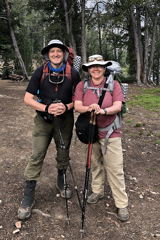
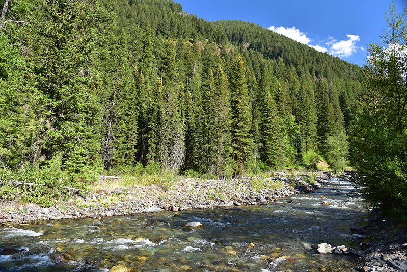
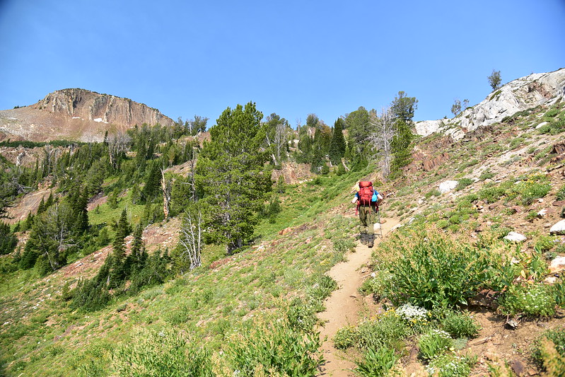
Sunday morning we broke camp and headed over to the Wallowa Lake Trailhead where we parked the car, put on our packs (mine was 33.5 pounds, Greg’s was 32.4), and hit the trail at 9:40am. The first few miles are along the West Fork Wallowa River:
Passing the wilderness boundary:
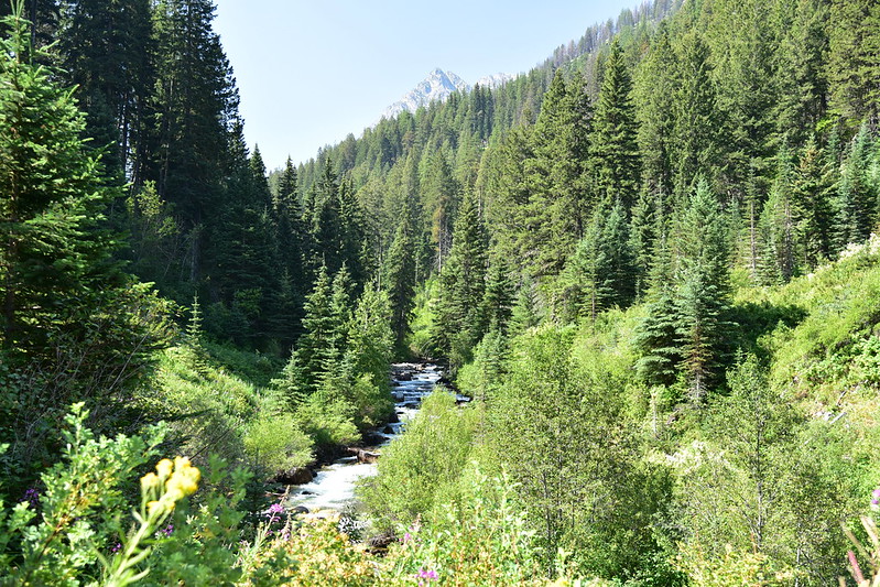
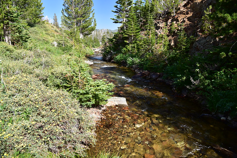
Occasionally we had a good view of the river:
But mostly we were just in the brush:
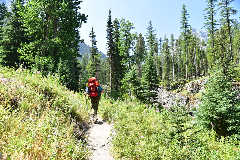
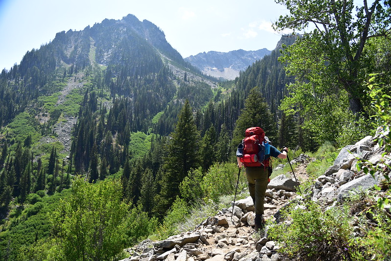
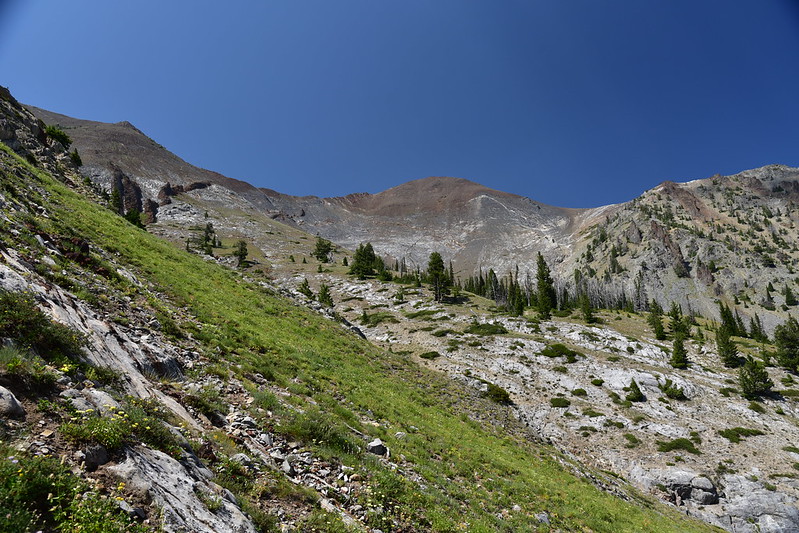
Stopping to admire the peaks above:
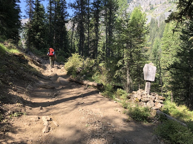
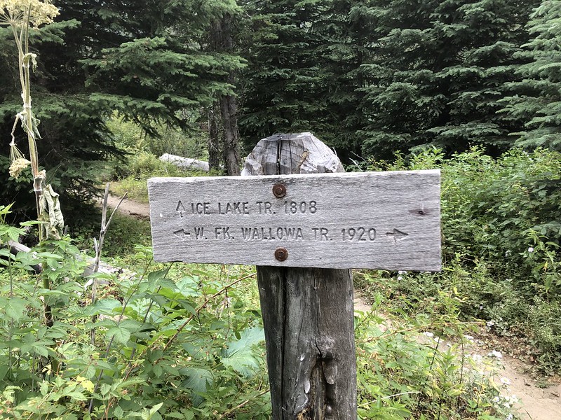
After hiking for 90 minutes and 2.9 miles we reached the junction with the Ice Lake Trail:
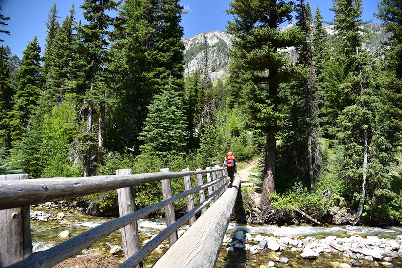
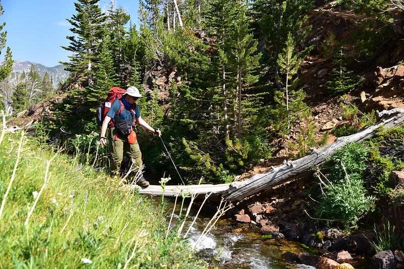
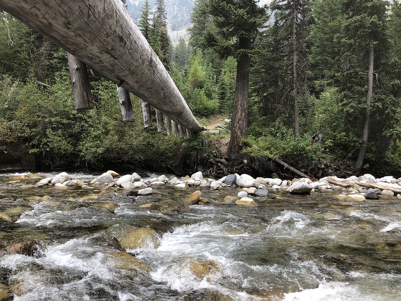
We crossed the river on this log bridge:
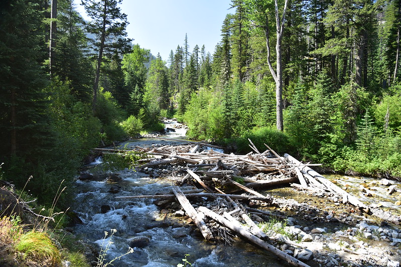
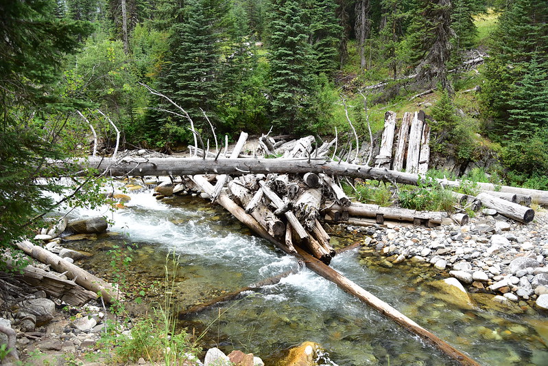
There used to be a much bigger bridge at this crossing but it was wiped out in 2011:

Photo by John Sparks
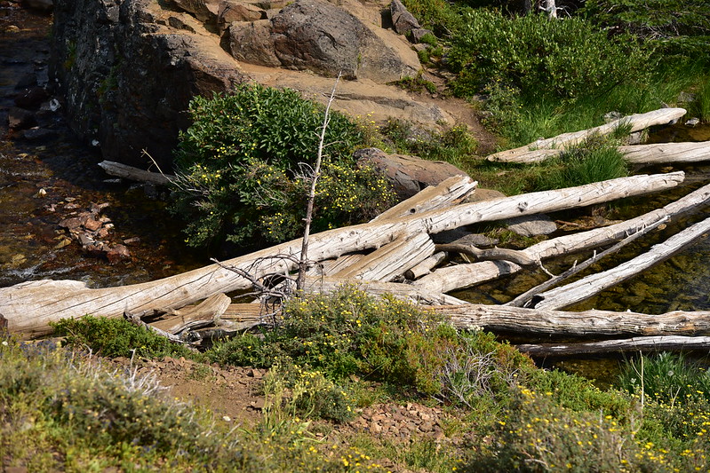
Downstream of the current bridge is a mess of logs and trees and I think maybe parts of the old bridge are in this mess:
This video shows a crew putting in the new bridge in the fall of 2012. Wow, what an undertaking!
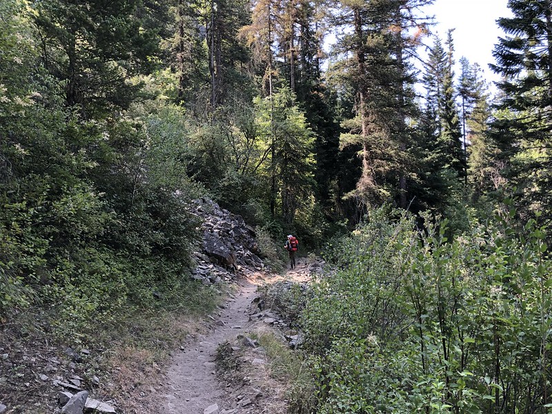
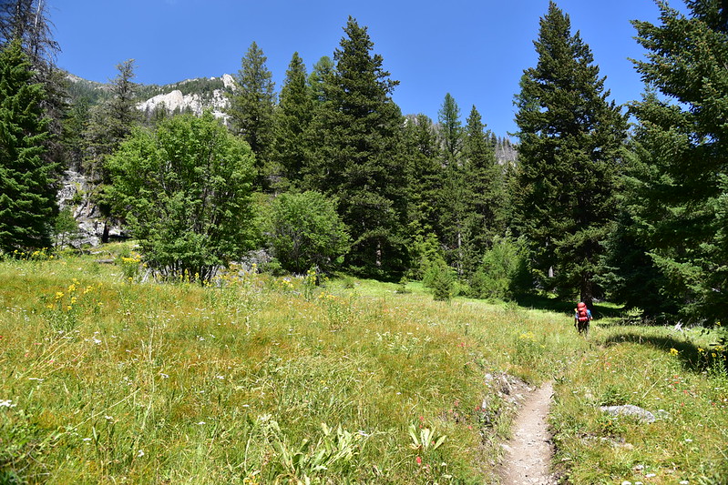
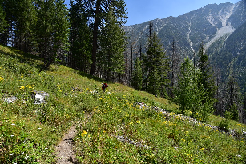
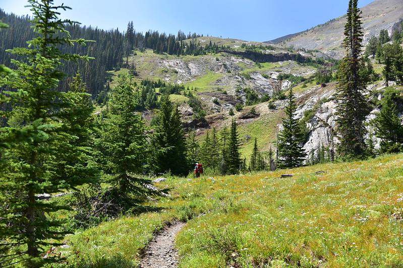
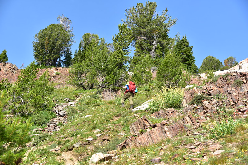
The trail switchbacks up through a grassy meadow:
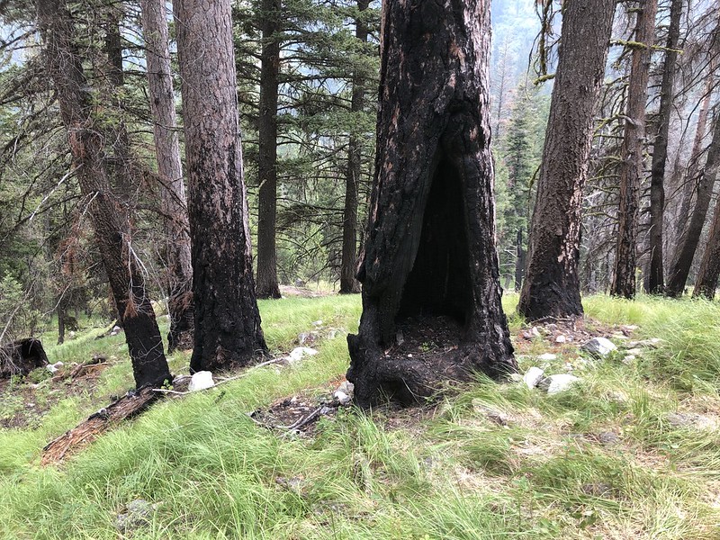
We saw some burnt trees from the 2014 West Fork Fire:
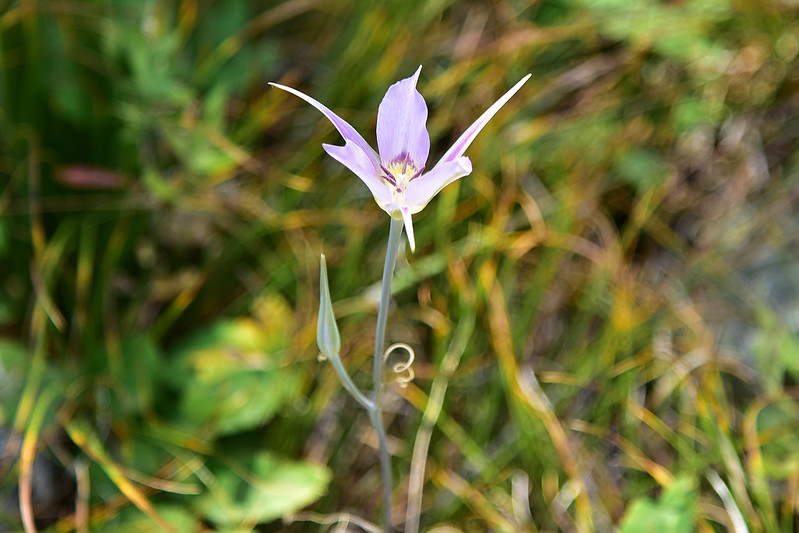
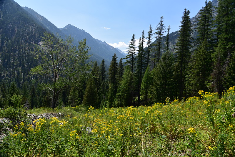
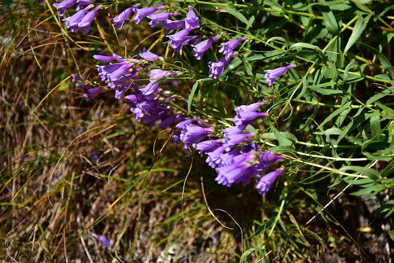
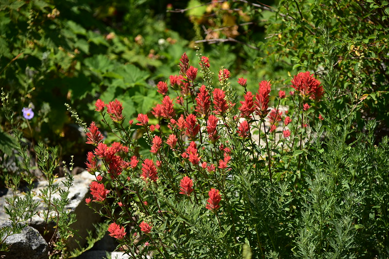
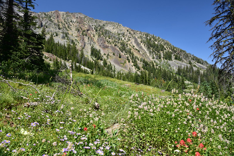
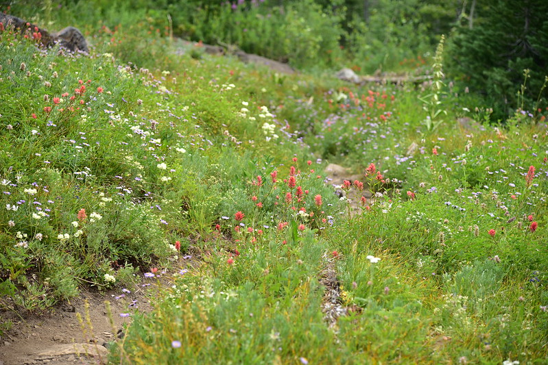
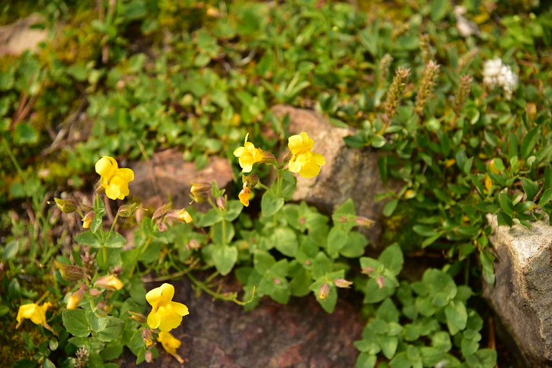
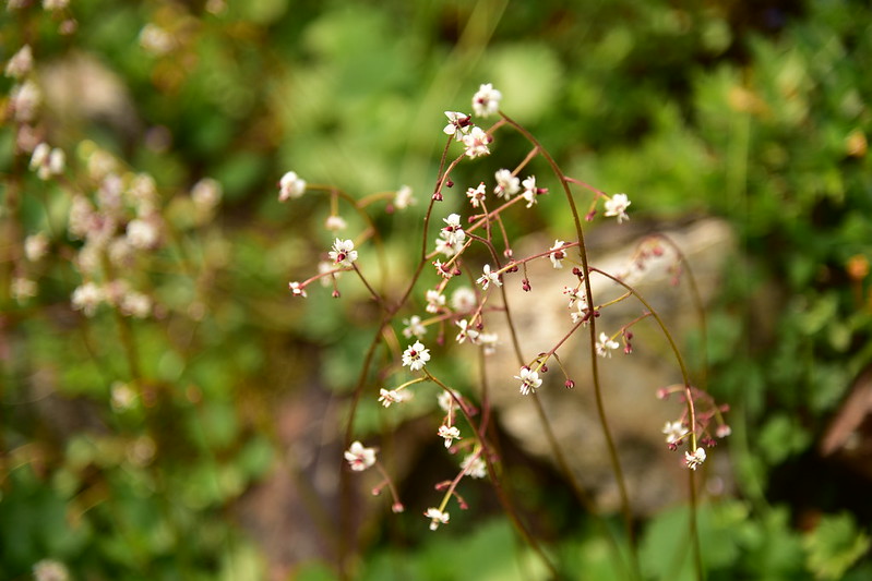
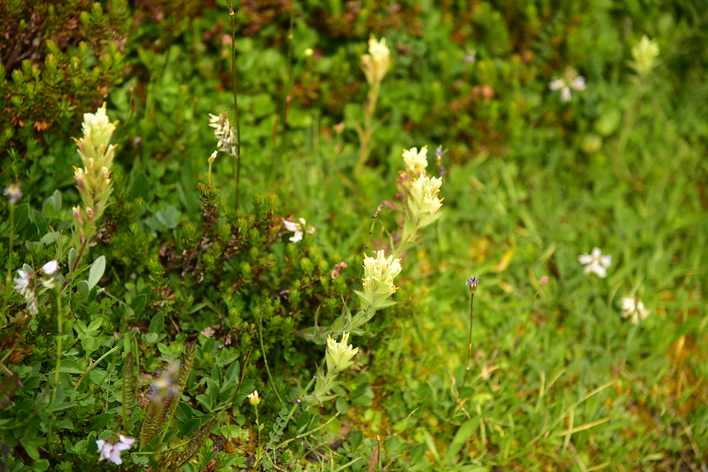
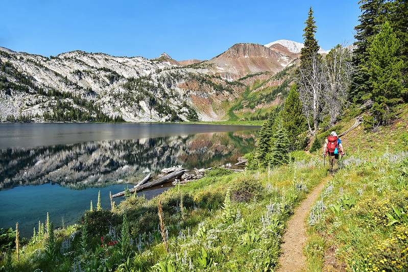
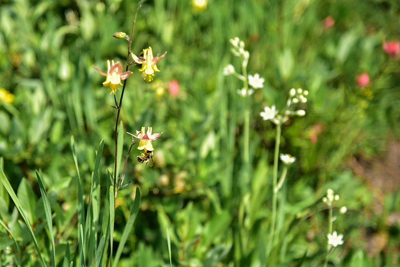
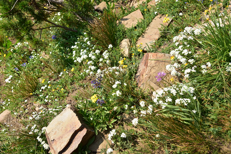
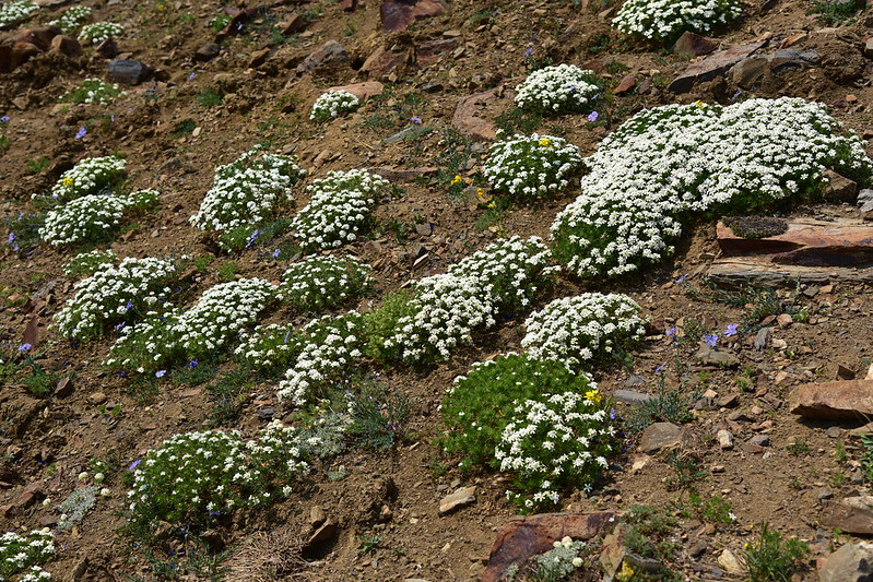
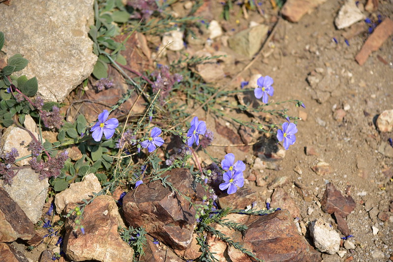
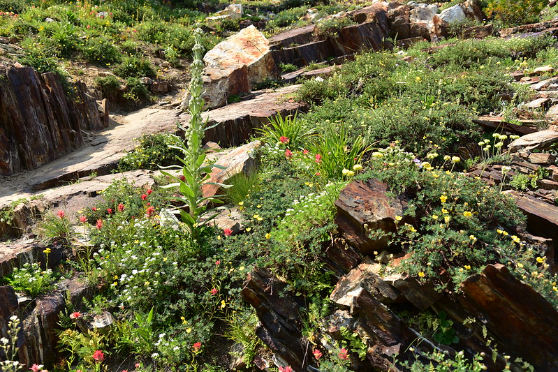
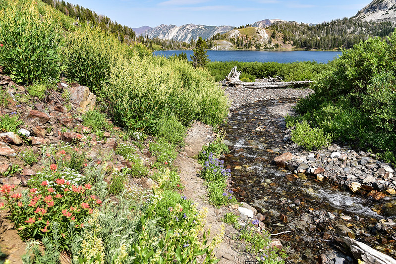
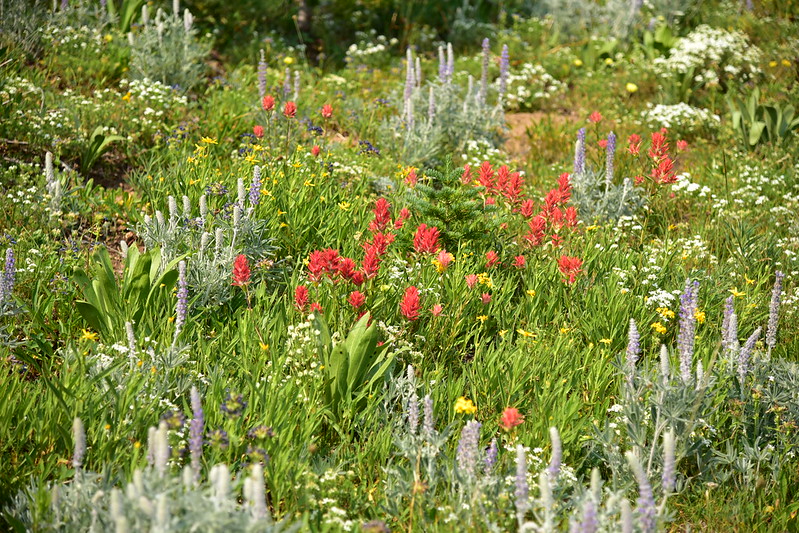
We were pleasantly surprised by all the wildflowers we saw, which lasted pretty much the whole way to Ice lake:
 <
<
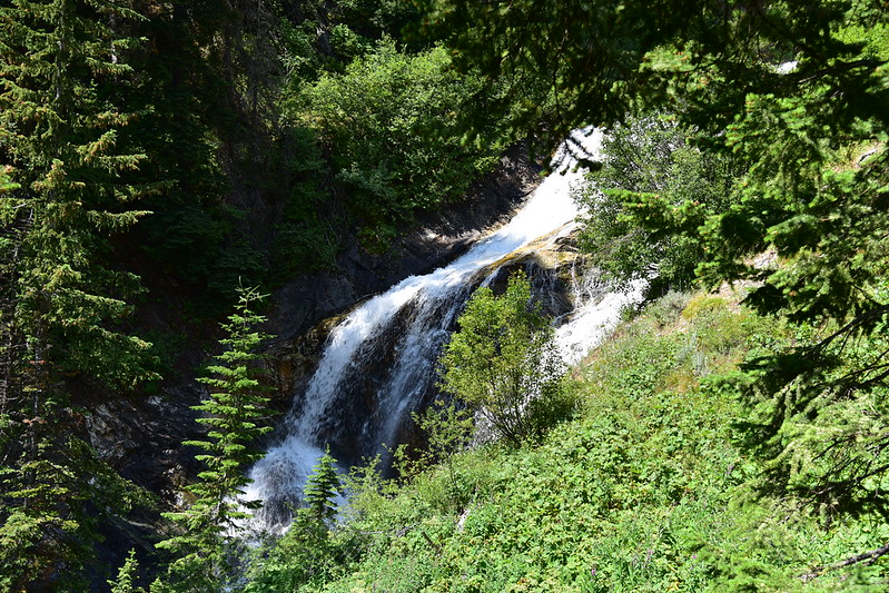
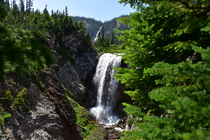
At 12:20 we had hiked 4.5 miles and stopped for a break above a waterfall. According to the Northwest Waterfall Survey there are four waterfalls on Adam Creek: Lower Adam Creek Falls, Beauty Falls, Middle Adam Creek Falls, and Ice Falls. I believe this one is Lower Adam Creek Falls:
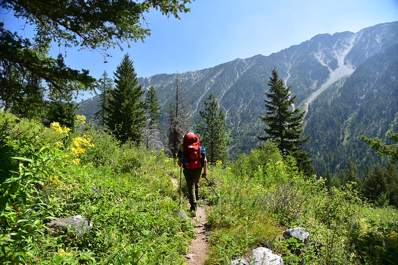
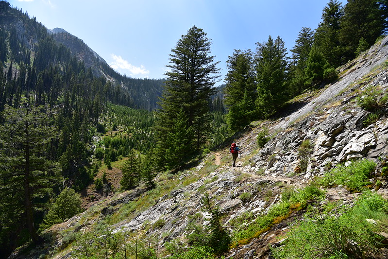
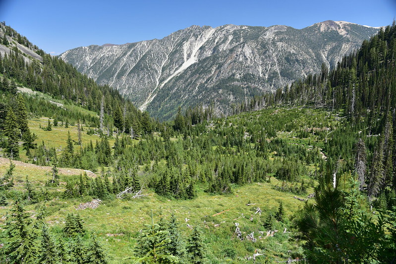
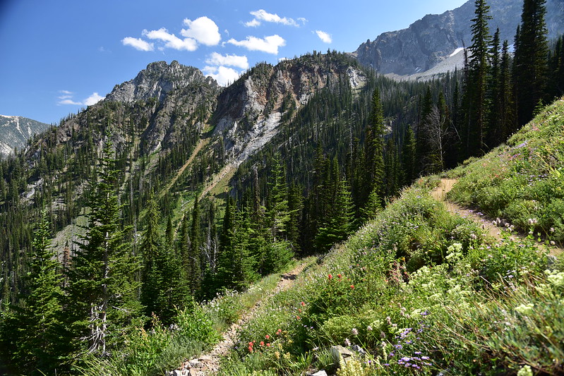
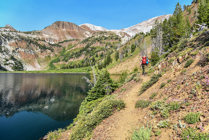
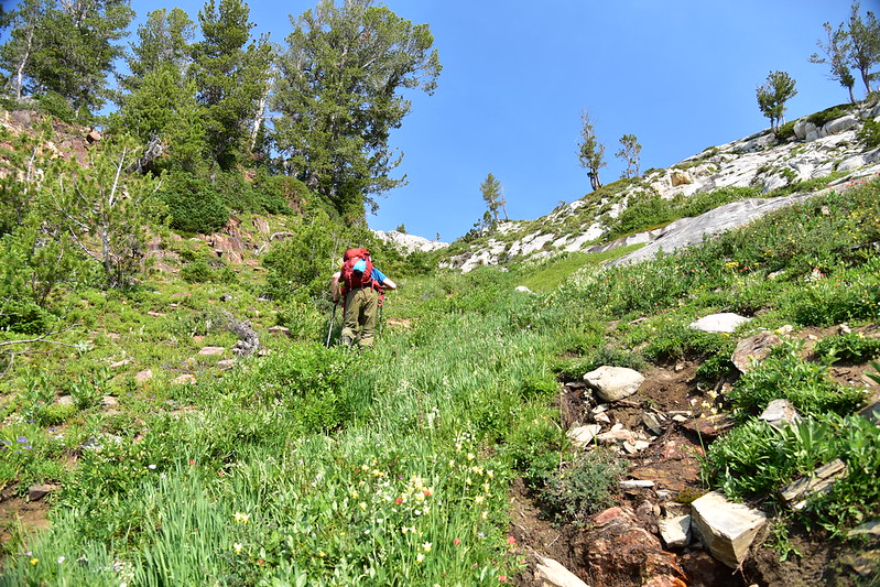
Then we continued climbing. Thank goodness for the numerous switchbacks and the well-graded trail, which made the elevation gain more bearable:
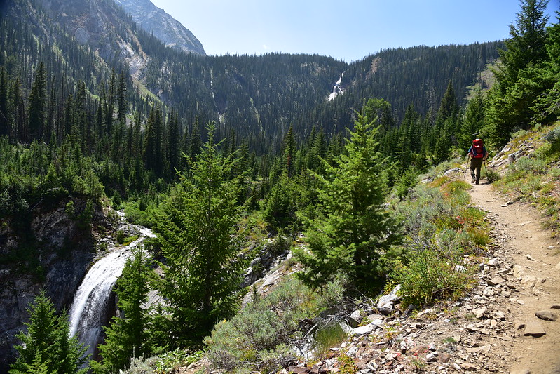
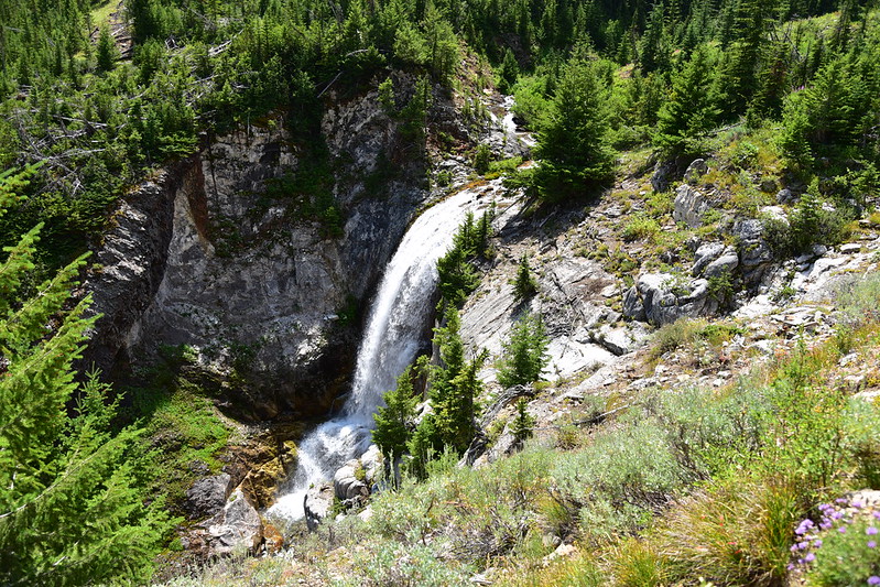
We passed another waterfall. I think this one is Beauty Falls (and off in the distance you can see another waterfall further upstream on Adam Creek, which may be Ice Falls):
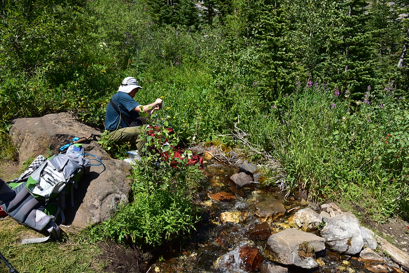
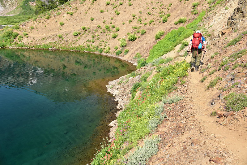
At 5.7 miles we crossed a gurgling creek in a beautiful meadow. We stopped to rest and filter water:
From the meadow we could see the slope up which the trail would soon be switchbacking:
And soon enough we were up there looking back down at the meadow:
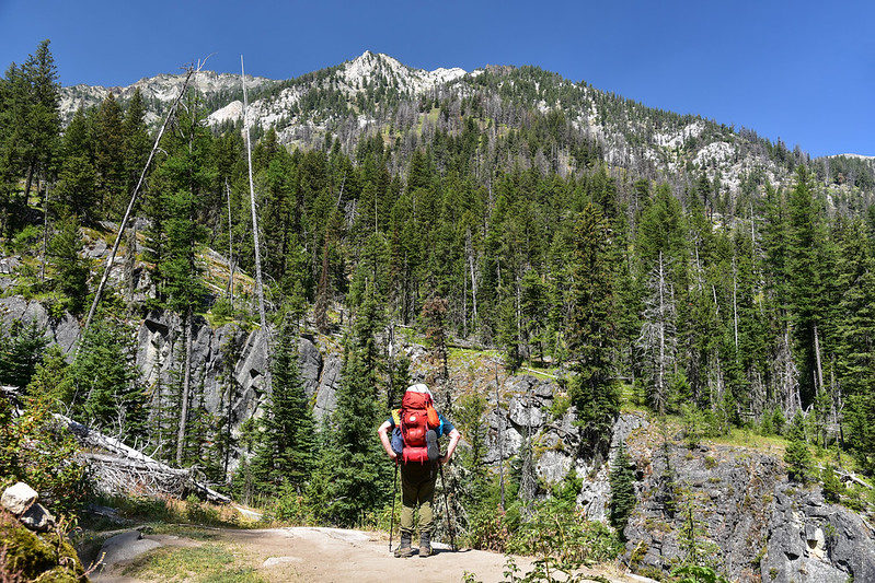
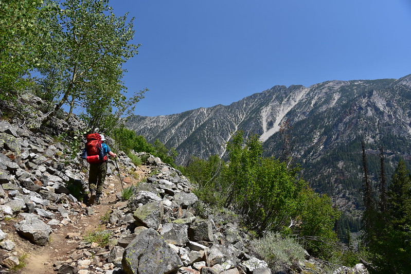
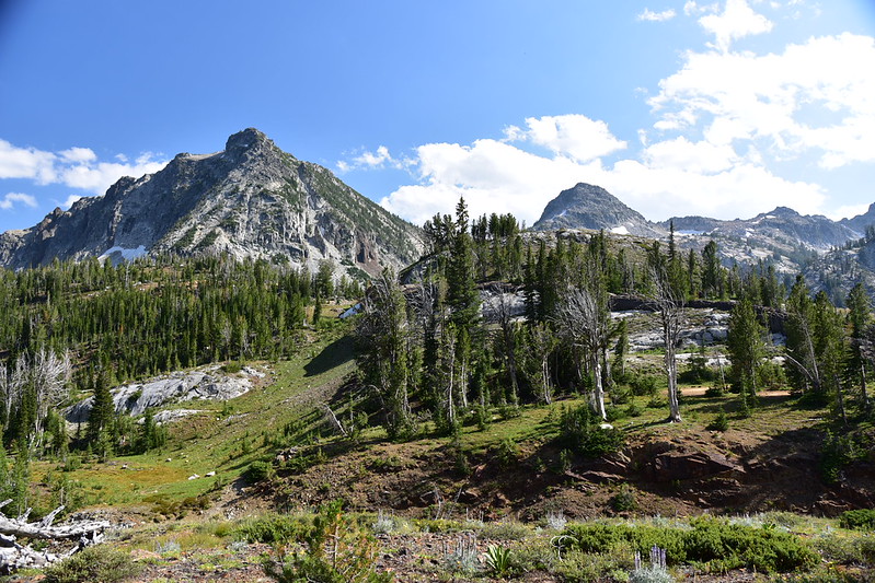
The higher we got, the more impressive things looked:
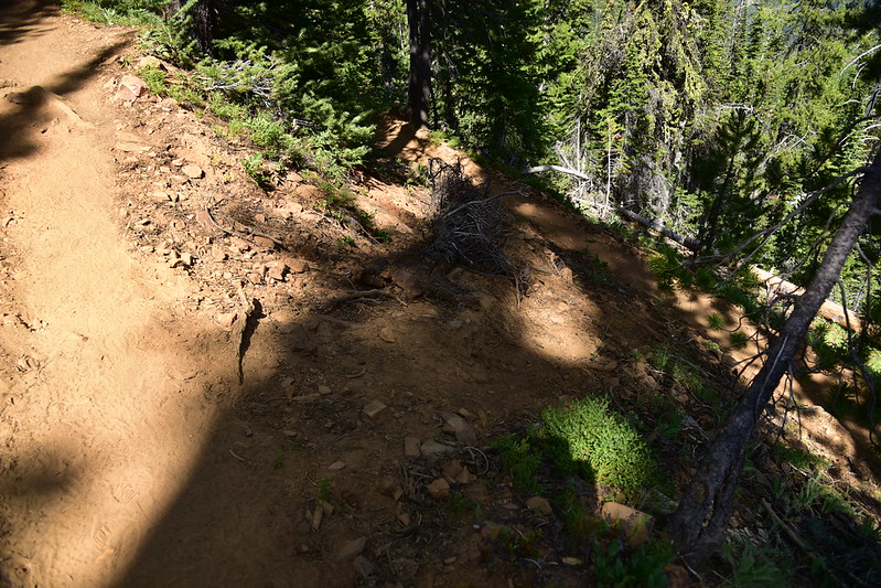
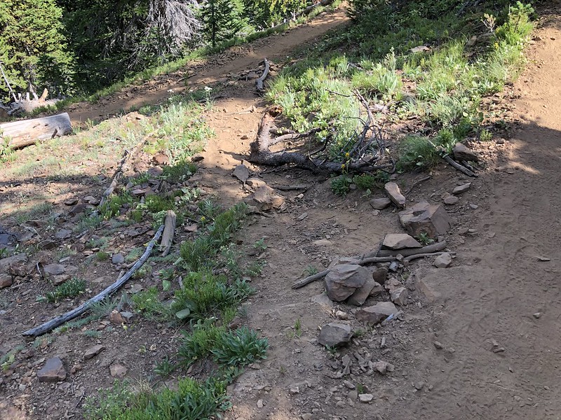
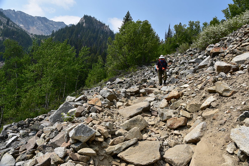
Unfortunately the trail is showing signs of heavy abuse here. Every single switchback has at least one eroded shortcut:
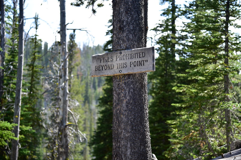
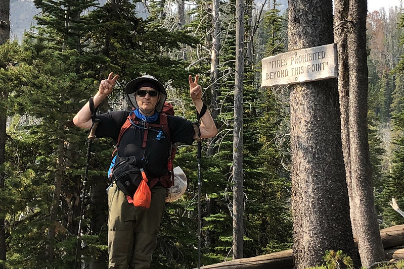
I see the Wallowa-Whitman National Forest is still improperly using quotation marks on their fire ban signs, which we have seen elsewhere in this wilderness:
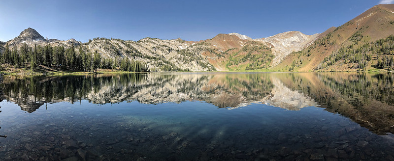
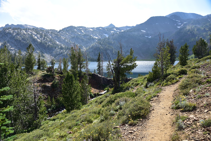
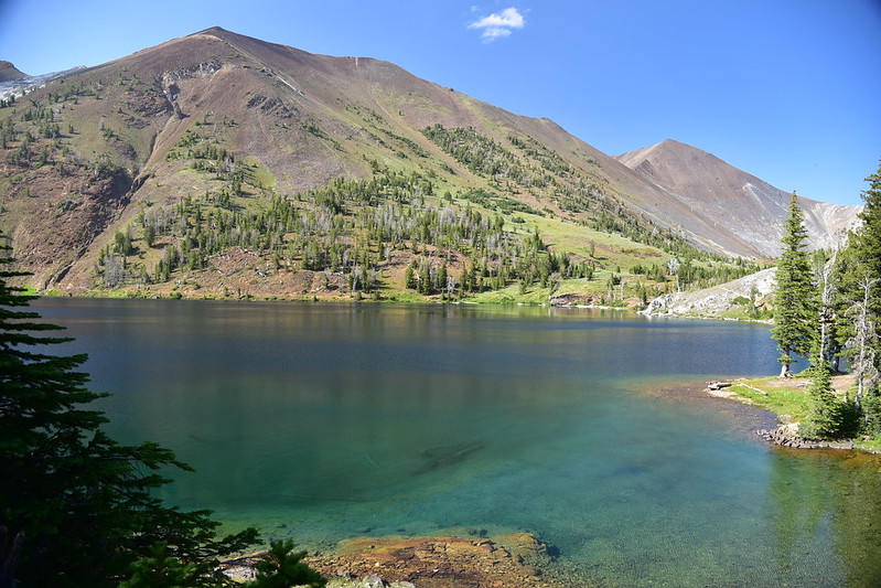
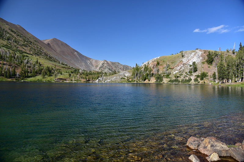
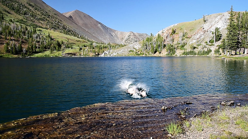
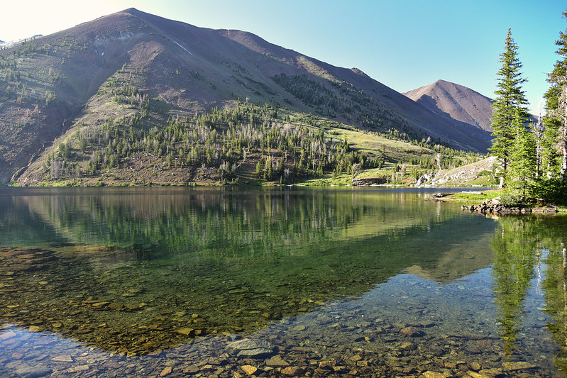
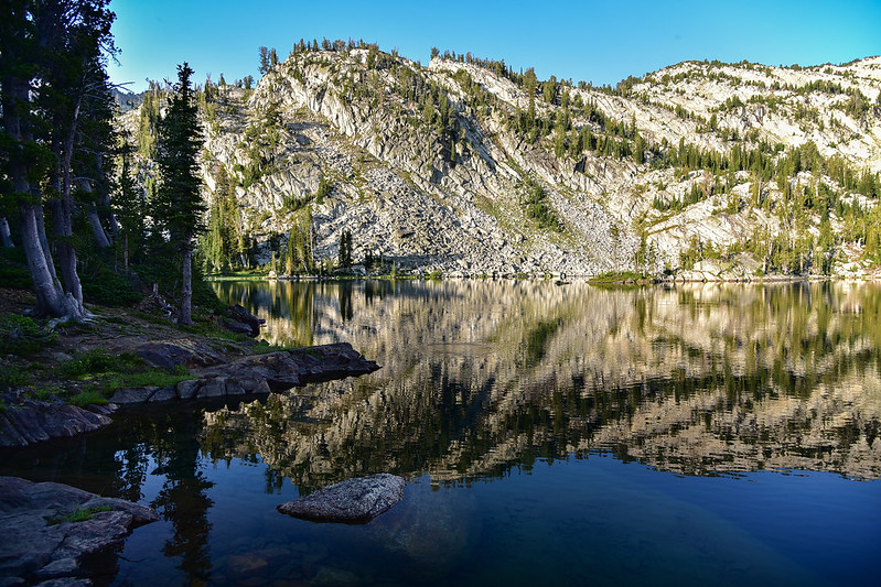
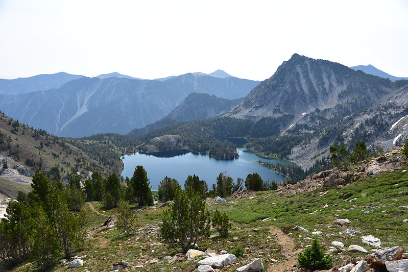
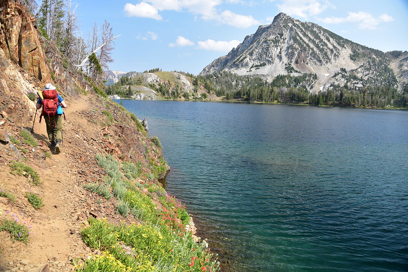
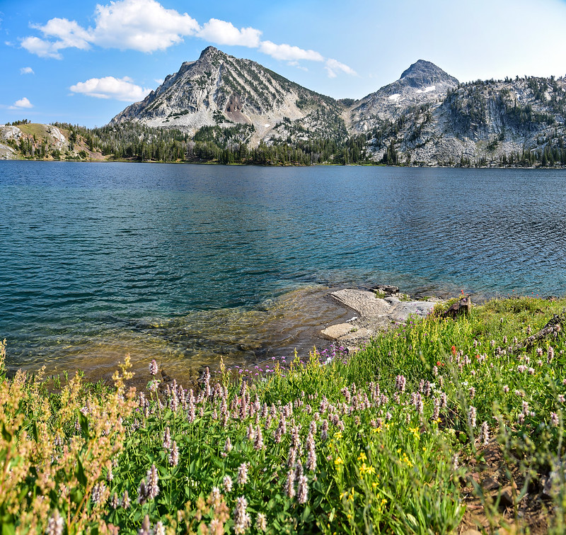
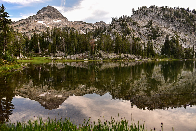
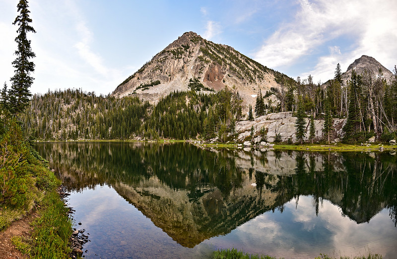
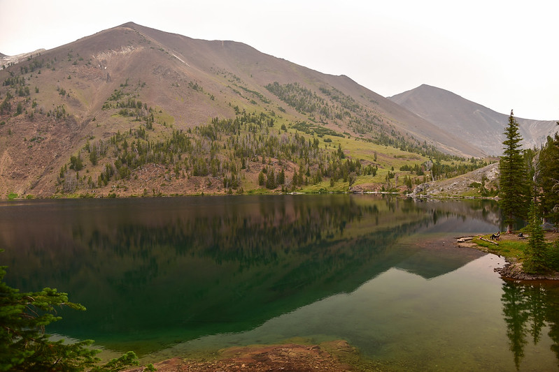
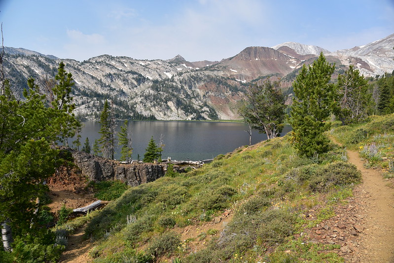
After nearly eight miles we’ve reached the lake!
The campsites are to the left, which requires crossing Adam Creek. There’s no bridge so I just plowed across and got my boots wet. I was too tired to care.
Greg tried this log:
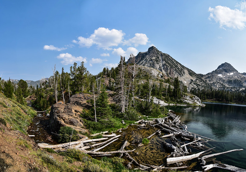
The next day we would discover a big logjam at the lake outlet that is much easier to use for crossing:
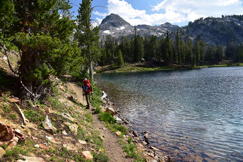
Then we followed the lakeshore over to the campsites:
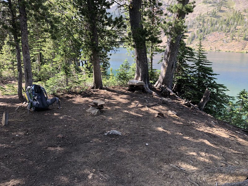
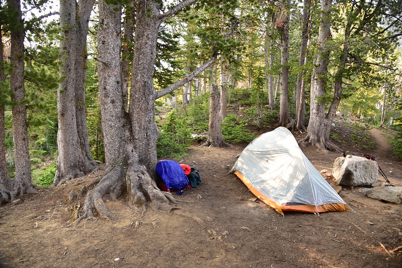
Since it was Sunday afternoon and the weekend crowd had cleared out, we had plenty to choose from. We found one we liked and called it good. We were too tired to explore around and find the “perfect” campsite. Besides, this one had a pretty good view.
We went down to the shore and enjoyed the cool water.
This is a great swimming lake and Greg did just that.
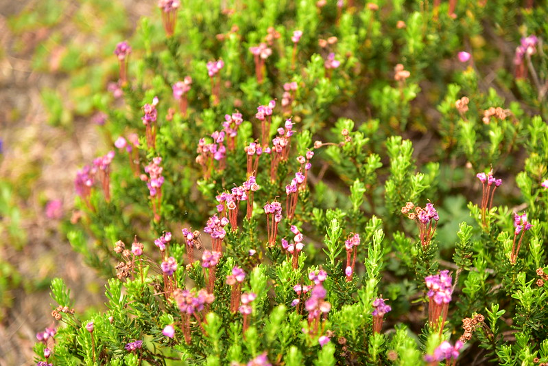
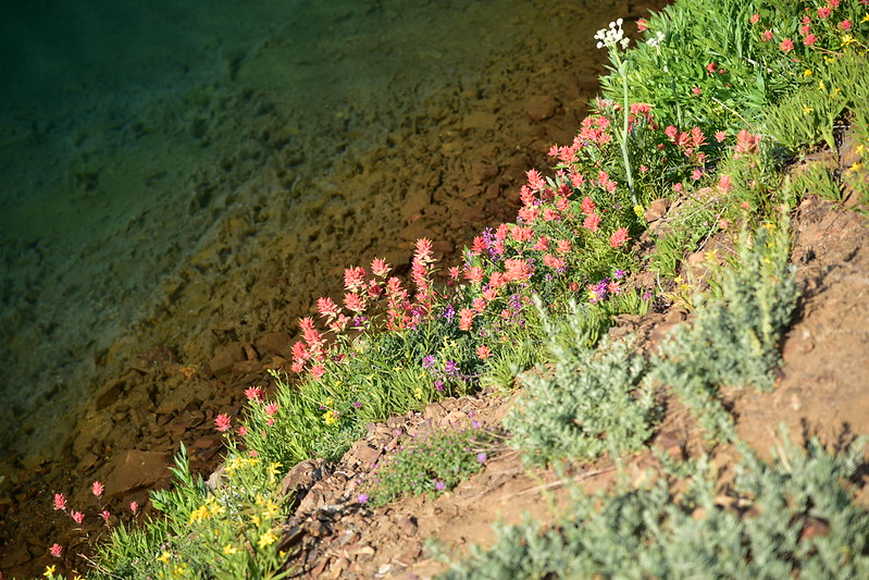
There were even some wildflowers (including heather!) blooming along the lake near our campsite:
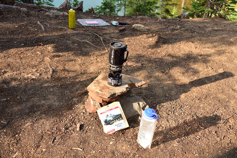
We made dinner and enjoyed watching the lake:

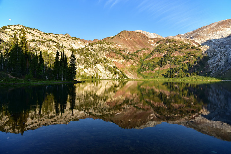
We crawled into the tent before 8 to escape the mosquitoes. It never got very cold overnight, which was weird since we were at such a high elevation. Monday morning was gorgeous and as soon as I got out of the tent I grabbed my camera and started taking photos.
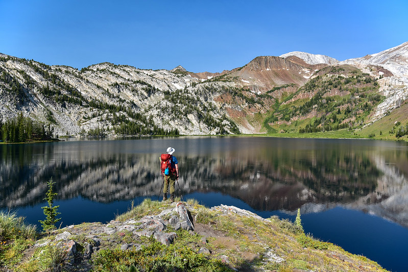
We ate breakfast and hit the trail, heading off for the Matterhorn. From the east side of the lake we had a view of our destination, the white hump up there:
We crossed Adam Creek and turned left to follow the trail along the north shore of the lake.
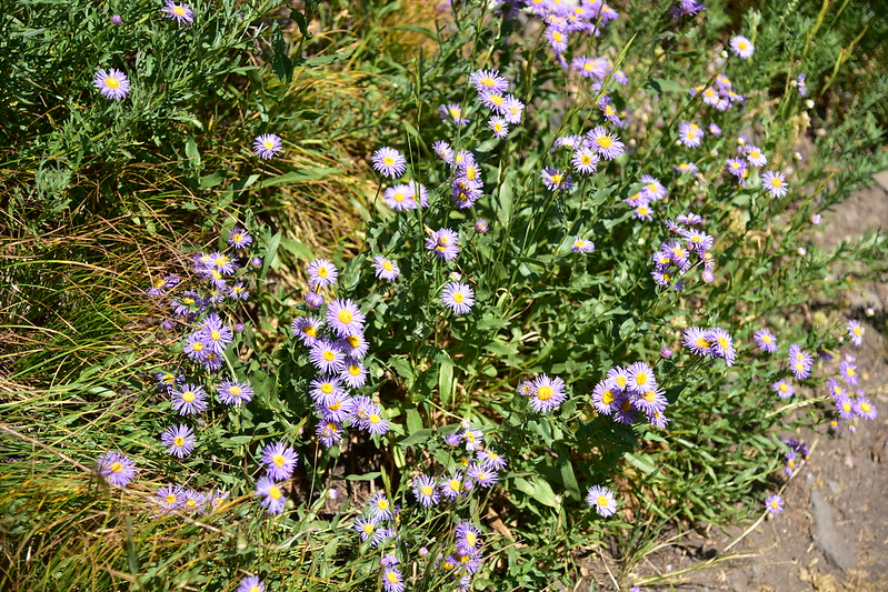
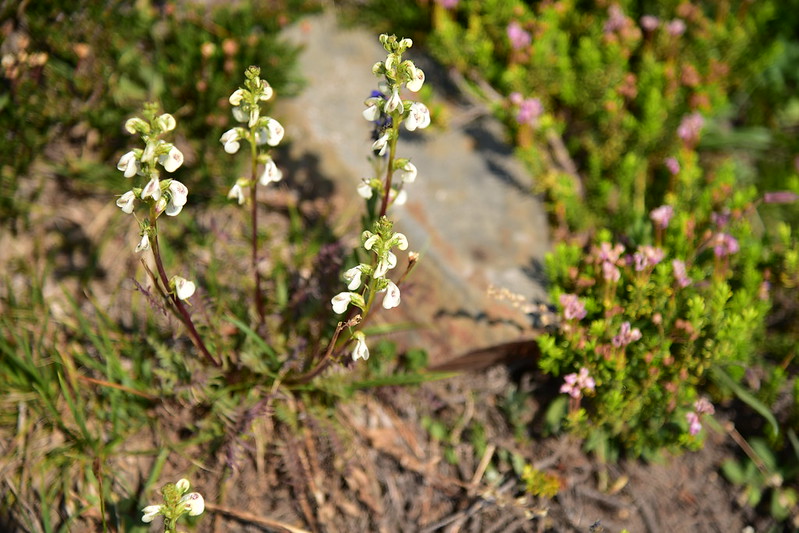
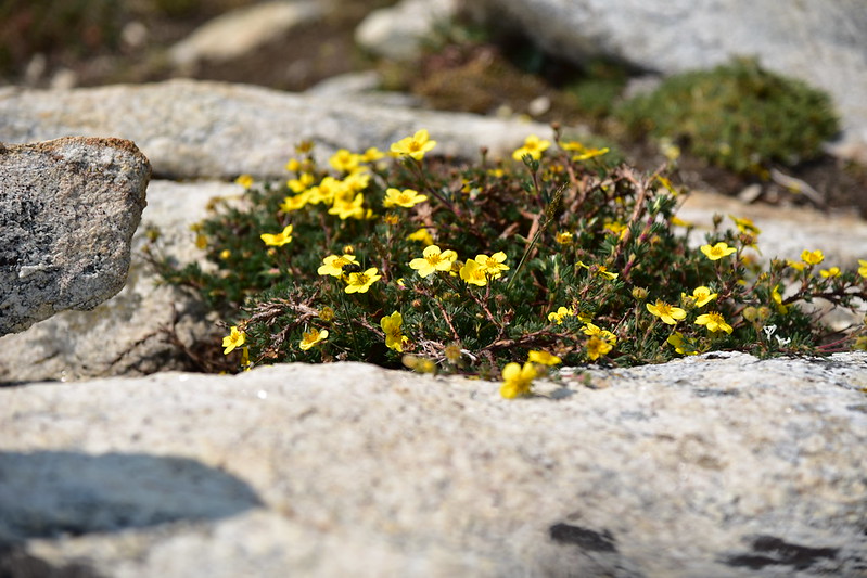
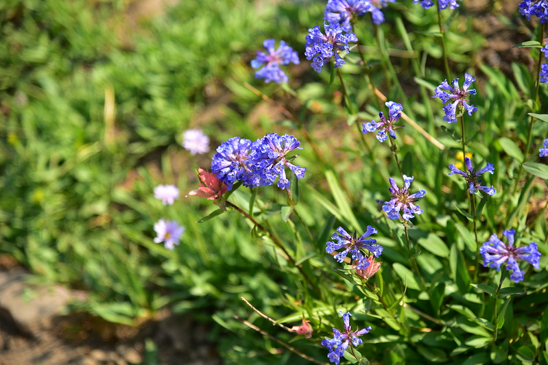
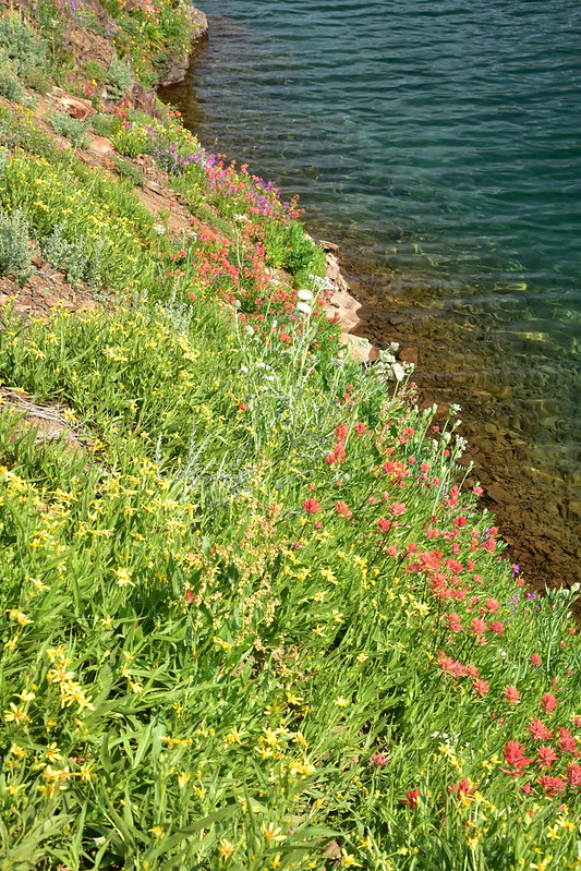
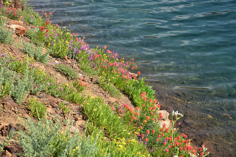
The wildflowers were beautiful!
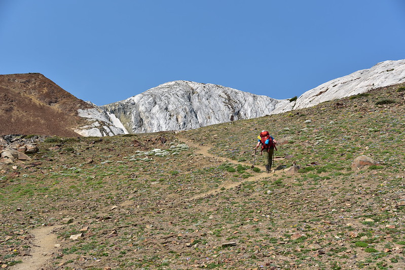
We left the lake and started climbing steeply:
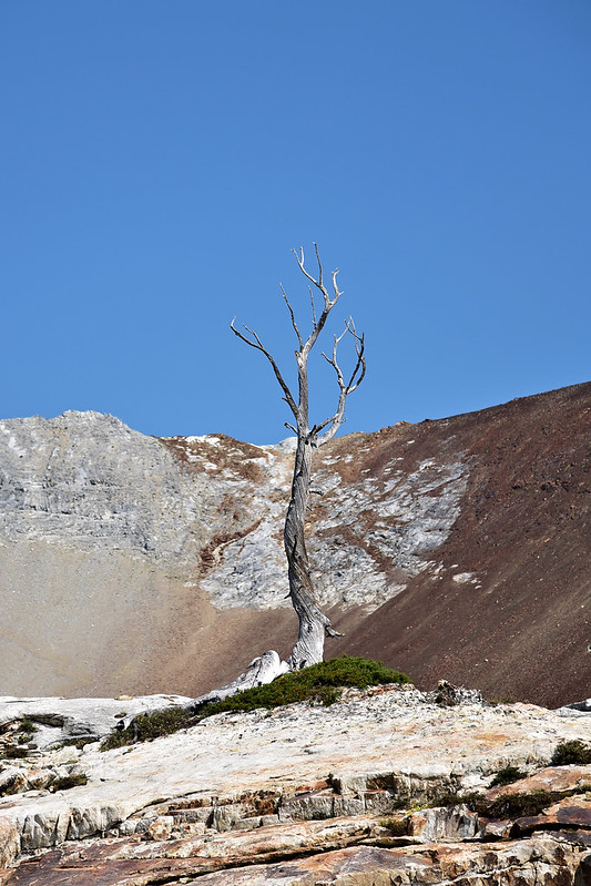
This hardy tree made a go of it for a long time, but didn’t make it. It’s still pretty, though:
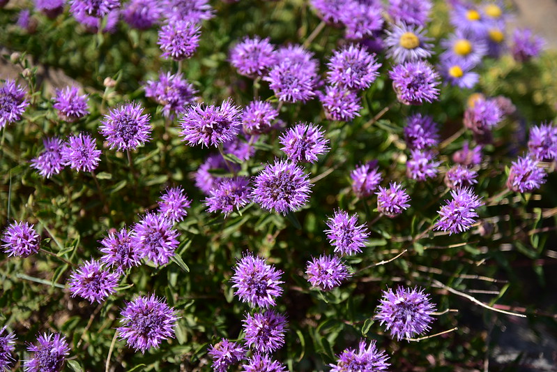
More wildflowers:

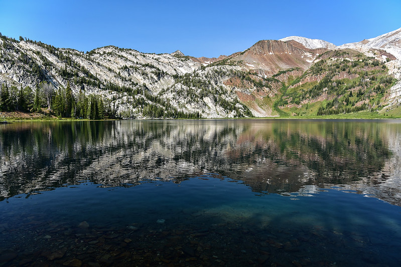
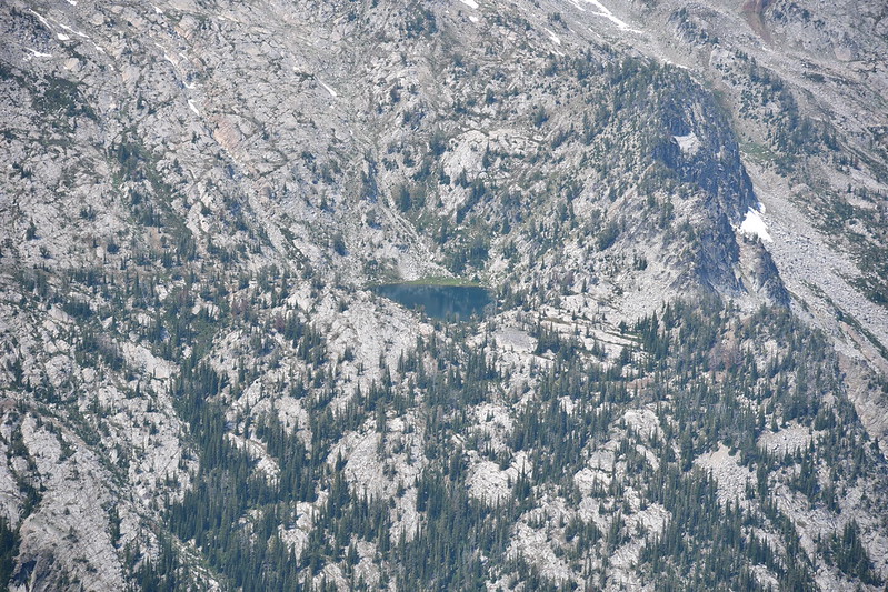
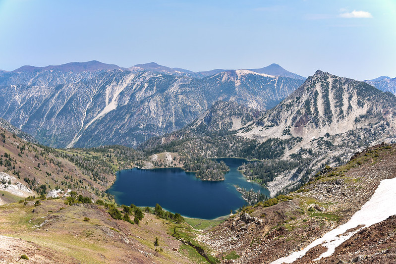
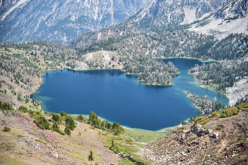
We got high enough that we could look down on Ice Lake:
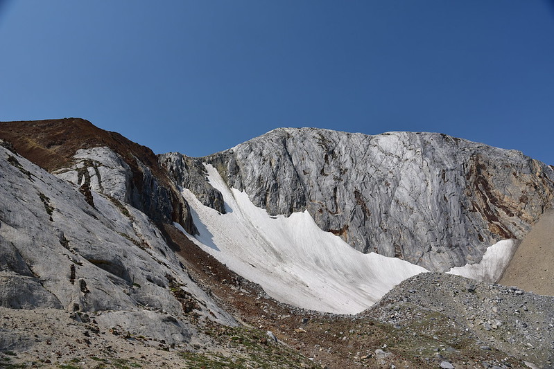
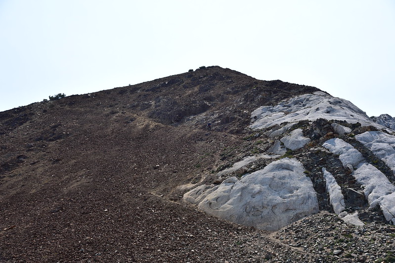
By now we were well above treeline:
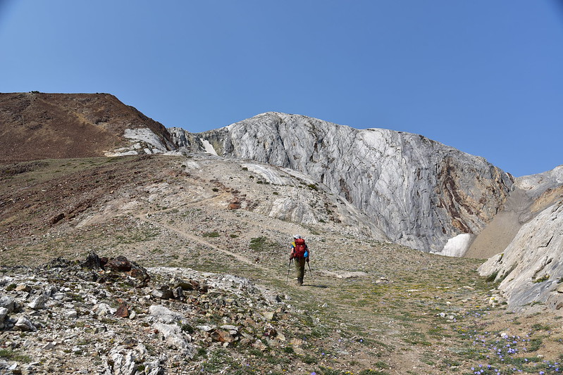
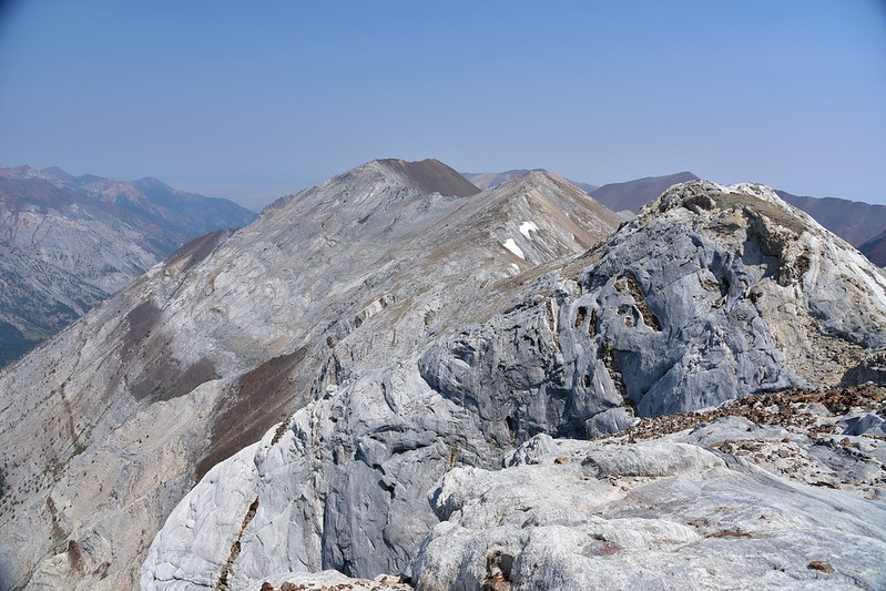
That’s the Matterhorn on the right:
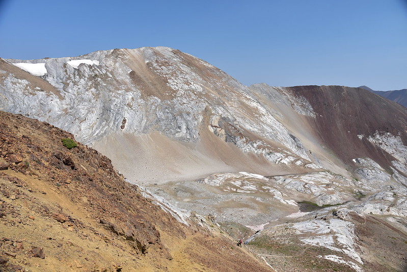
Looking back down at where we’ve been:
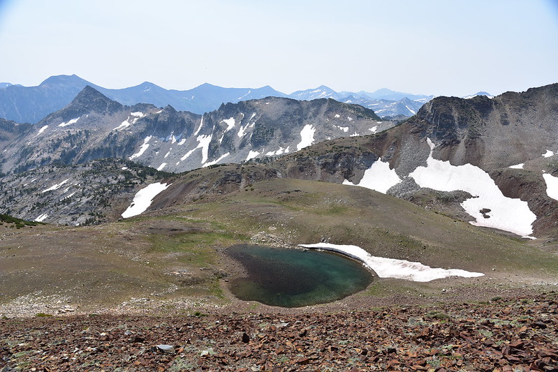
There was a tarn way below the trail. We didn’t go down there because we didn’t want to have to climb back up to the trail:
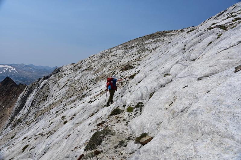
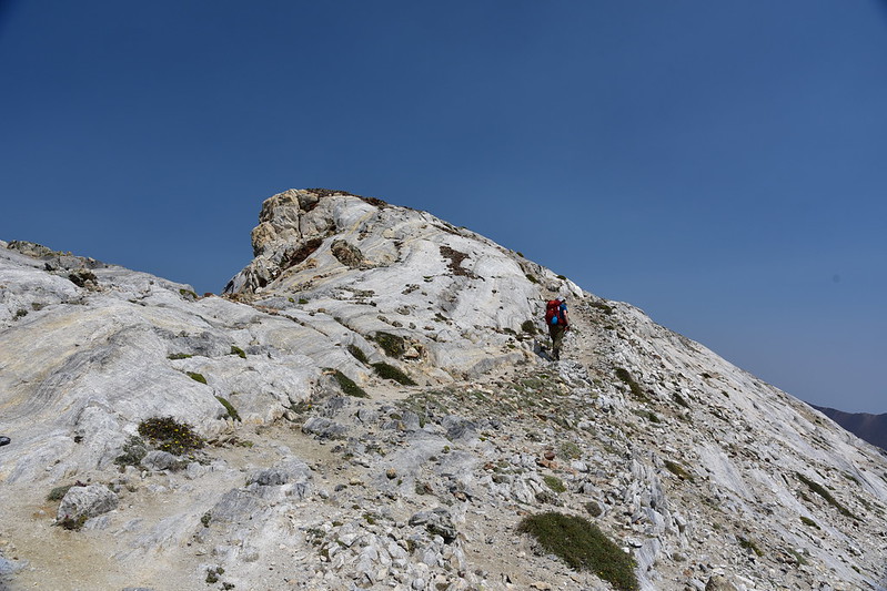
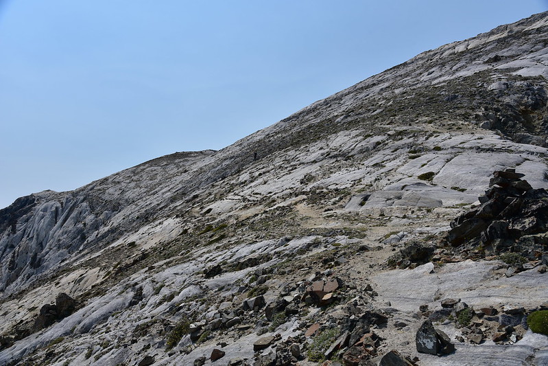
Almost there! You can see the trail as it enters the granite area of the mountain:
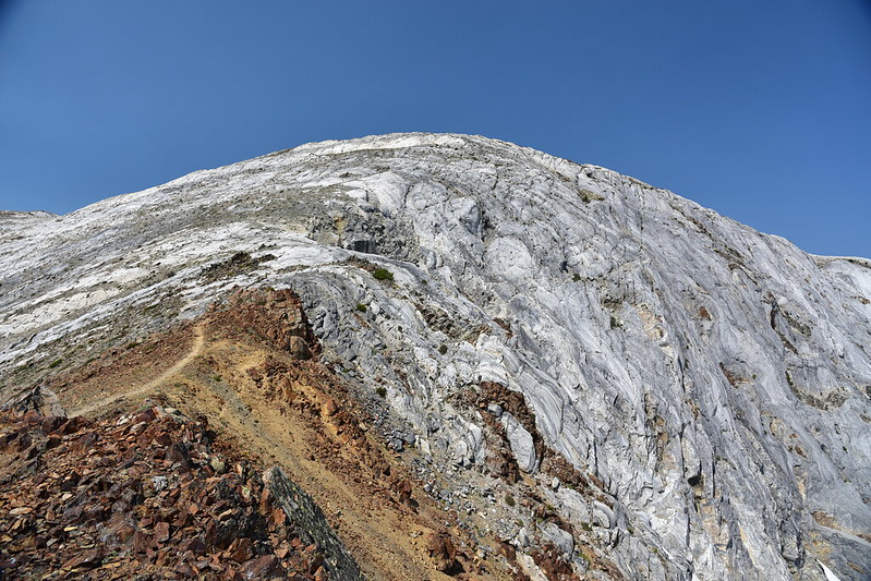
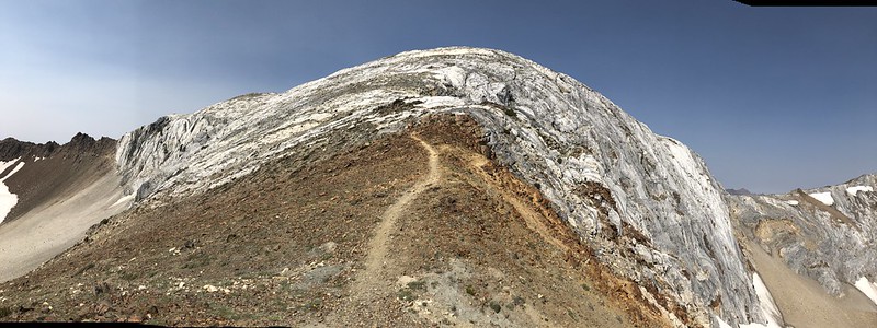
It’s hard to tell from this picture, but this side of the Matterhorn is actually riddled with user trails:
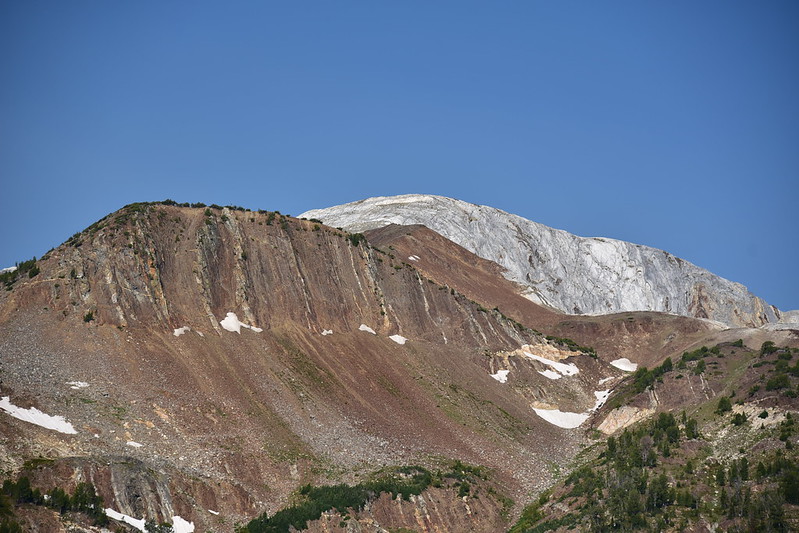
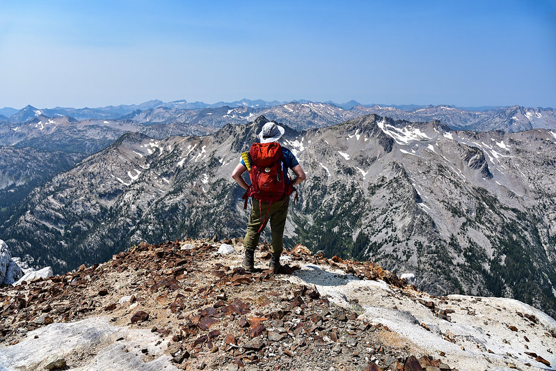
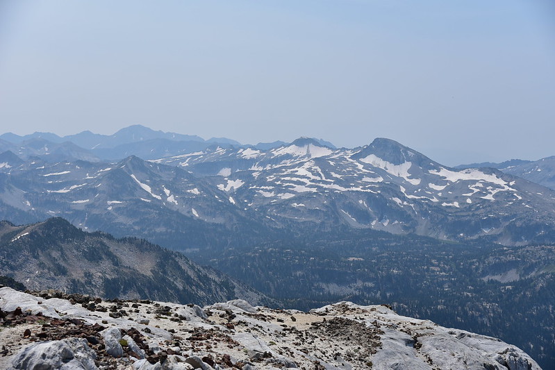
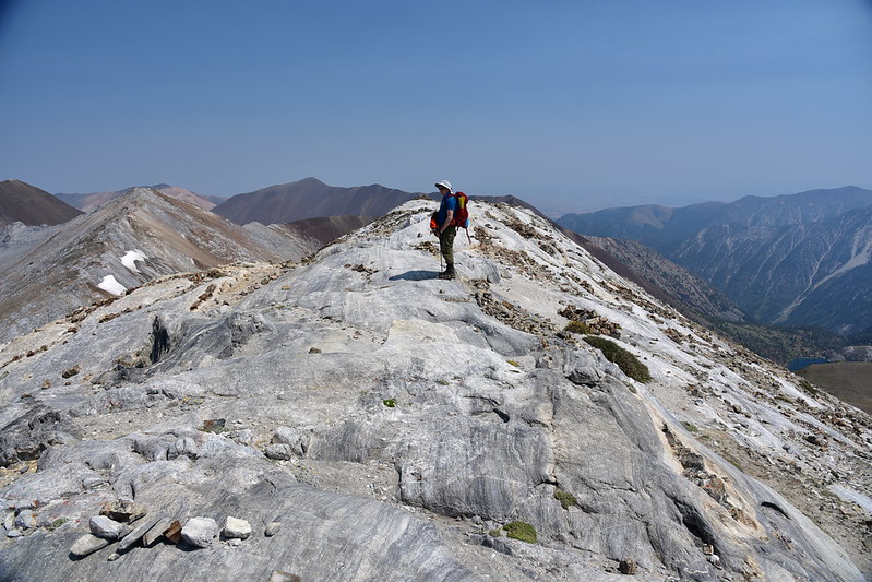
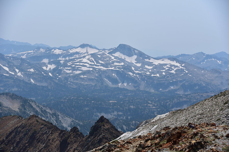
And then we were at the top! At 9,826′ this is the second-tallest peak in the Wallowa Mountains. (Sacajewea is right next door and at 9,838′ it is the tallest. It is also Oregon’s tallest peak outside the Cascade Mountains.) We were disappointed to see that it was very hazy all around us. We had a signal on our phones so we learned that all this smoke was from hundreds of miles away, from southern Oregon and even Redding, California. All of Oregon was covered in smoke. Yuck. I cleaned up this shot in Photoshop, but the rest are straight out of the camera:
Looking northwest. That’s Hurricane Creek way down there:
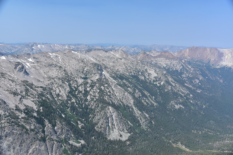
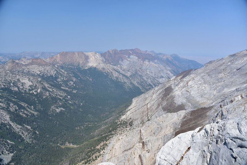
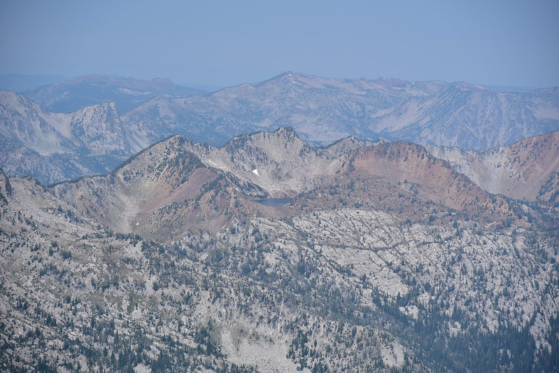
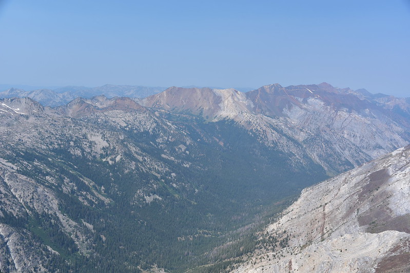
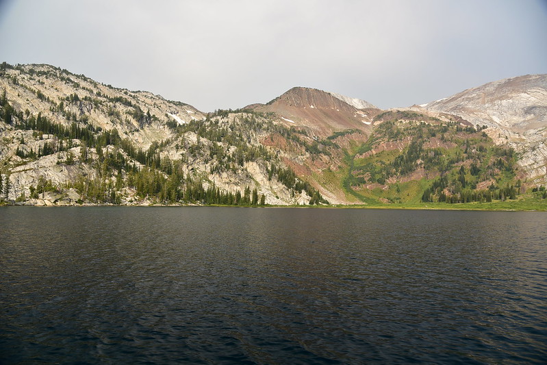
Looking across to Granite lake:
And Billy Jones Lake:
Looking north. You can just barely make out the farmland of the Wallowa Valley out there, but it’s so hazy it’s hard to see:
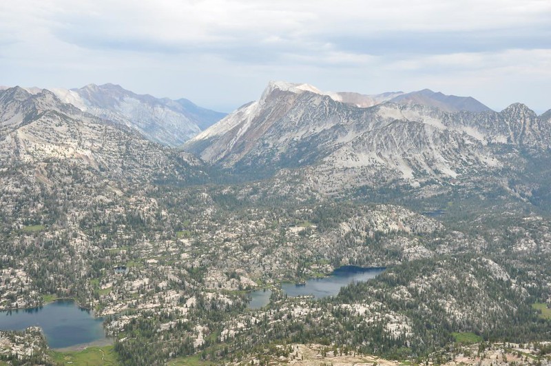
Looking south. The peak on the right is Eagle Cap, which we hiked up in 2013:
Here is the view from Eagle Cap looking north to the Matterhorn on that rainy 2013 visit:
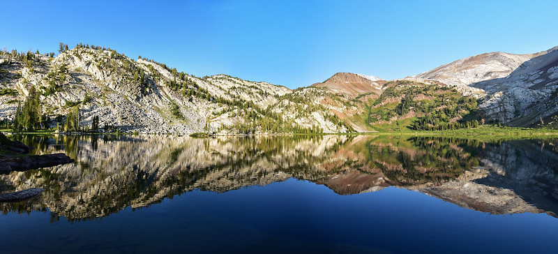
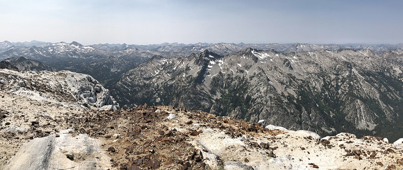
Panorama:
There are two summits on the Matterhorn and we weren’t sure we were on the true summit. It looked like the other one might be taller, so we headed over there:
But once we were up there and looked back, we thought maybe the other one was the true summit. In any case, we never found a survey disk or a summit register on either summit.
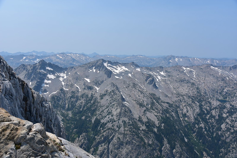
More view shots:
After sitting and enjoying the view for awhile and having a snack, we headed back down. The whole time we were up there we only saw one other hiker.
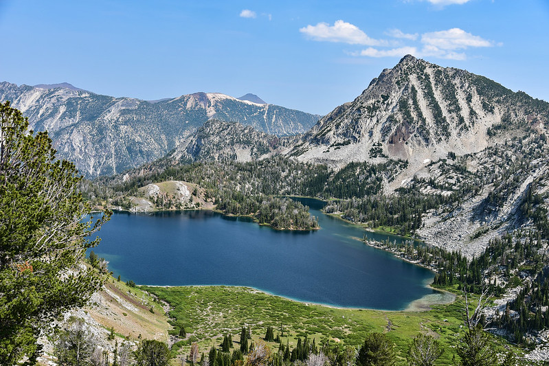
On the way back down the views of Ice Lake were better since the sun was now behind us:
More wildflower shots:
And then finally we were back down to lake level. This scene was just too lovely!
Hiking back along the north shore of the lake:
Crossing the lake outlet:
After a little more than four miles round-trip (it sure felt longer than that!) we were back at our campsite. Greg went swimming again and I waded. It felt good to relax and cool off after our steep hike:
Time for dinner! We drank the rest of the wine we’d packed in, which we “chilled” in the lake. (It didn’t actually get very cold.)
That evening I wandered around about a bit to see what there was to see. Our campsite was on the peninsula you can see in the photos I took from above, so there was a cove back there that provided some lovely photo ops:
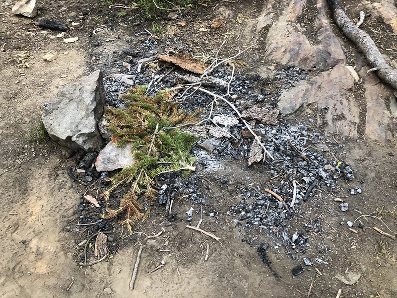
Campfires are not allowed at Ice Lake at any time, yet I saw evidence of them anyway. I spent ten minutes dismantling this fire ring. I forgot to take a “before” shot, but here’s the after:
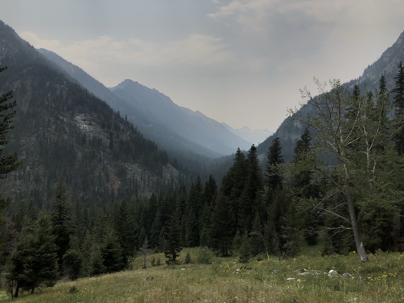
It was another not-cold night, and when we woke up Tuesday morning we found that after 24 hours of smoke drifting into the area we now had super hazy skies. Some clouds had rolled in too.
We enjoyed a quiet breakfast with just the sounds of a few birds and the lake water. Very peaceful.
We packed up, said goodbye to Ice Lake, and started heading down:
These rocks weren’t fun going up and they weren’t any more fun coming down.
Hazy skies and clouds made for humid hiking:
We paused under the log bridge for a break before the final push back to the car:
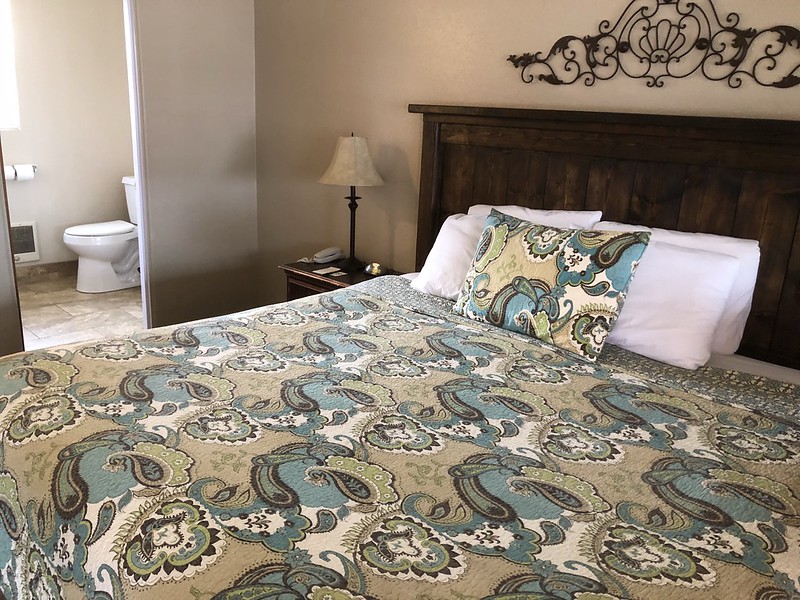
We had a room (and hot shower!) waiting for us at the Indian Lodge Motel in Joseph:
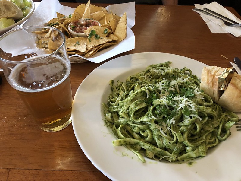
After a most-refreshing shower we drove over to Enterprise and had dinner at Terminal Gravity:
Great trip! It was fantastic to finally visit this gem and it was REALLY awesome to not be there on a weekend so we could enjoy some peace and quiet. Ice Lake is truly even more gorgeous than I had imagined, and it was cool to hike up the Matterhorn even though we had to deal with some smoke. In total we hiked 20 miles!