I spent the weekend exploring the Middle Fork of the Willamette River and the east side of the Diamond Peak Wilderness. Due to the heat I didn’t get to do as much exploring as I would have liked, but I got a few good hikes in. The first one was to Divide Lake.
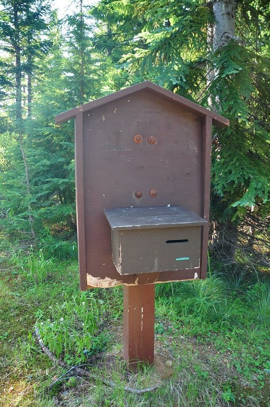
Really old signboard with no signs and no wilderness permits:
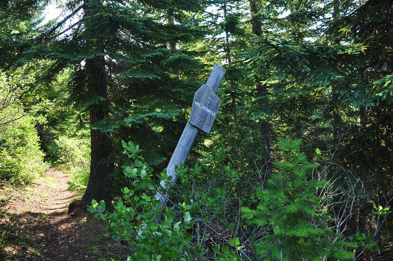
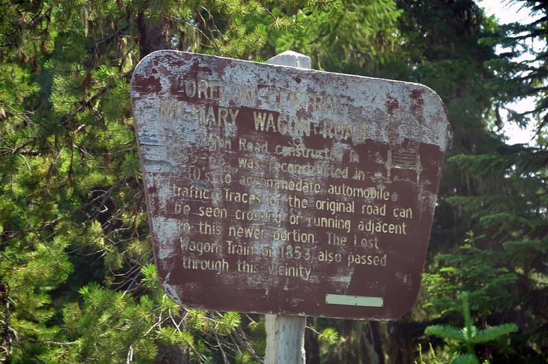
And this sign has seen better days:
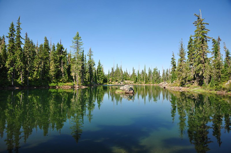
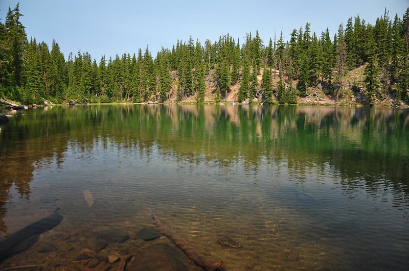
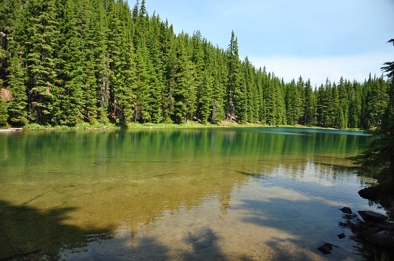
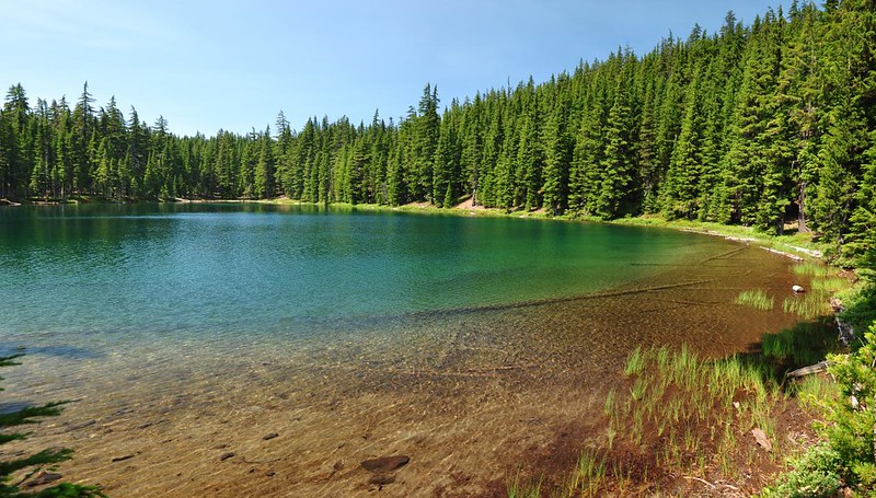
Less than a mile into the hike I passed Notch Lake. From the west end it didn’t look like much more than a murky pond:
But from the east end it was much prettier:
Unfortunately this is where the mosquitoes caught up to me. They were the most aggressive mosquitoes I’ve ever encountered. It was WAY too hot to zip my pant legs back on and to put on my long sleeves, so I doused myself in bug spray, put on the hated head net, and kept hiking.
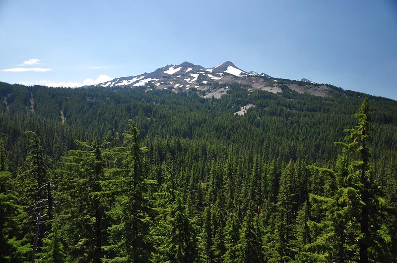
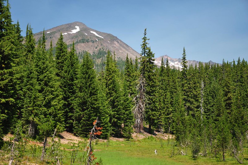
I turned onto the Mt. Yoran Trail and started climbing. After reaching the top of the ridge I started getting views of Diamond Peak. After seeing this mountain from a distance more times than I can count, it was cool to finally see it up close!
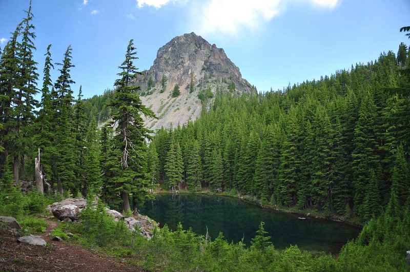
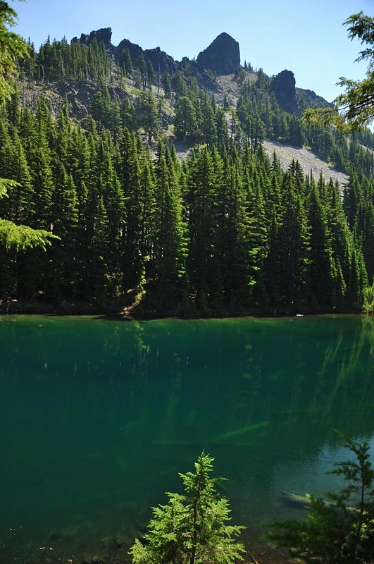
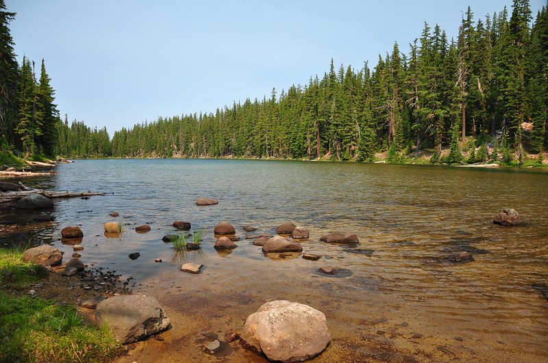
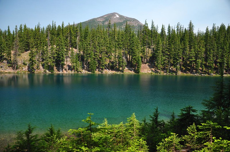
After three miles the trail passes right under Mt. Yoran and comes to Divide Lake, a tiny but gorgeous little lake backdropped beautifully by Mt. Yoran. (By the way, if you’re looking for a good backcountry lake for swimming, this is it. Nice and deep!)
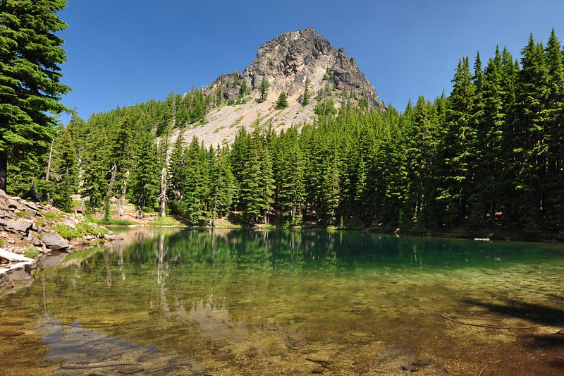
You can also seen an unnamed rocky peak towering above the lake:
The weather was a bit breezy so I sat and enjoyed the mosquito-free view for awhile. Then a gigantic cloud moved in front of the sun. Then the breeze died down and the mosquitoes came back. I badly wanted to linger and enjoy this beautiful place, but the mosquitoes forced me to get moving.
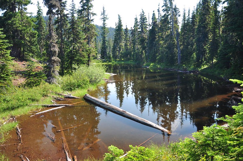
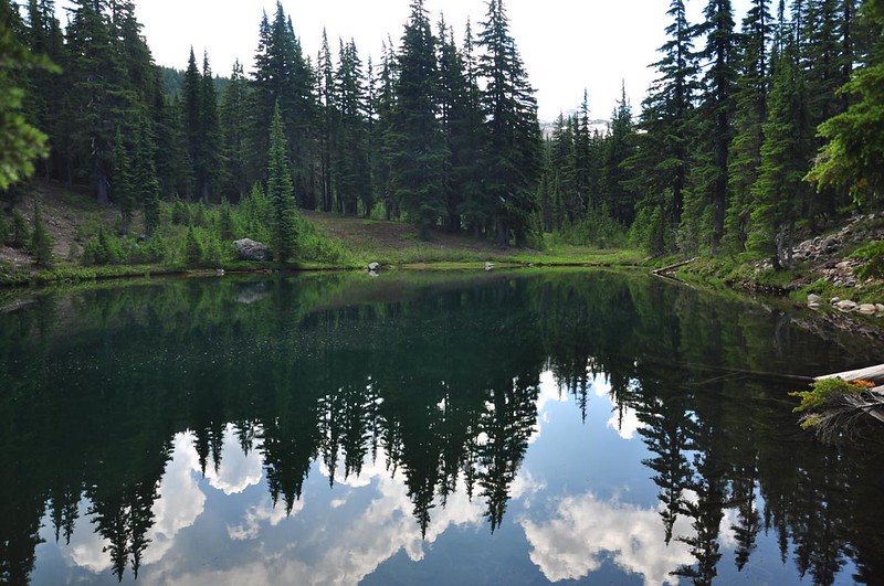
Before I headed back I explored the two little ponds just beyond the lake. There are some good campsites here. At the first pond you can just get a glimpse of Diamond Peak through the trees, and the second pond has a decent view of Mt. Yoran.
On the hike out I almost stepped on this little guy, who hopped off the trail just in the nick of time then stayed still just long enough so I could take a picture. What good camo!

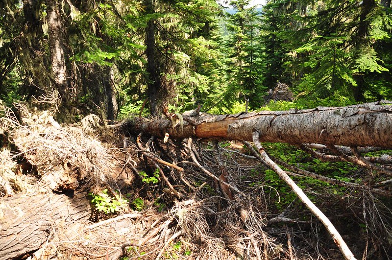
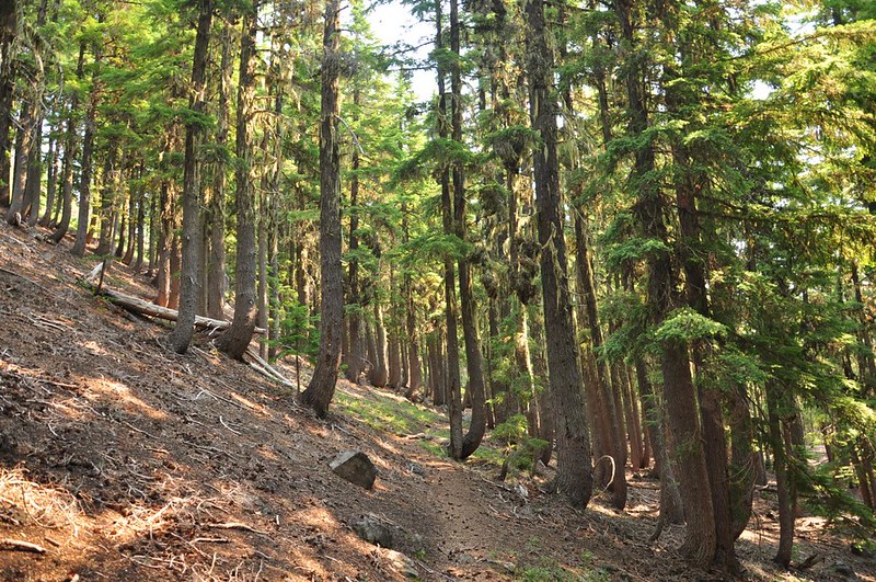
After the hike I took a look at the map and realized I was very very close to the Hemlock Butte trailhead. Hemlock Butte is a former lookout site and there is a geocache at the top, plus the trail is only half a mile so I decided to give it a go. But the trail hasn’t seen maintenance in many years. It is overgrown, plus within the first 0.1mi I came across half a dozen downed trees. I’d already hiked eight miles and it was a hot afternoon. I wasn’t up for tackling half a mile of this:
On Friday I hiked to Marie and Rockpile Lakes in a different part of the Diamond Peak Wilderness.
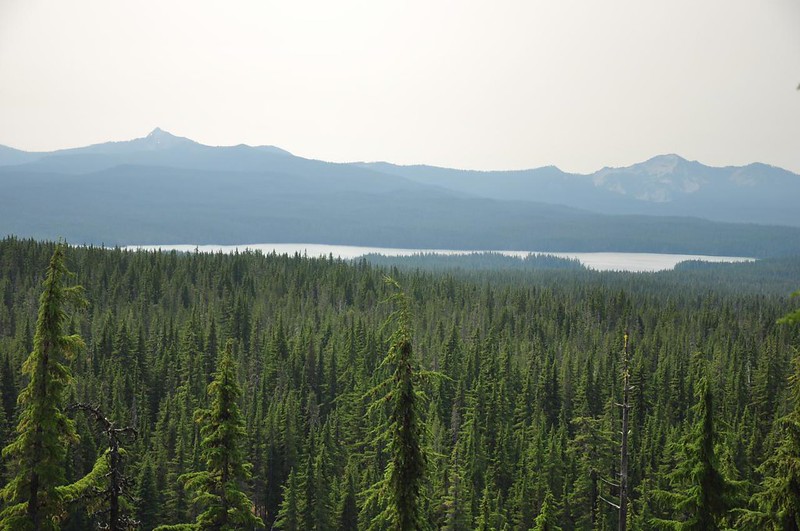
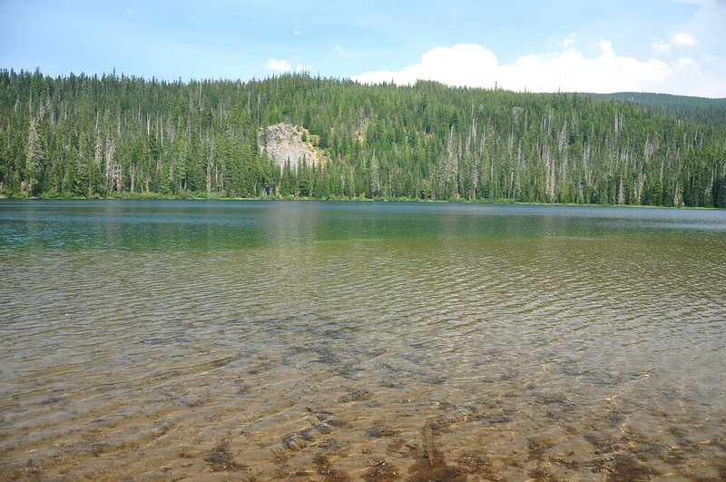
The trail does some stiff climbing for awhile before popping out at a nice viewpoint looking south. That’s Cowhorn Mountain on the left and Sawtooth Mountain on the right, with Summit Lake below. As you can see, wildfire smoke made for some very hazy views.
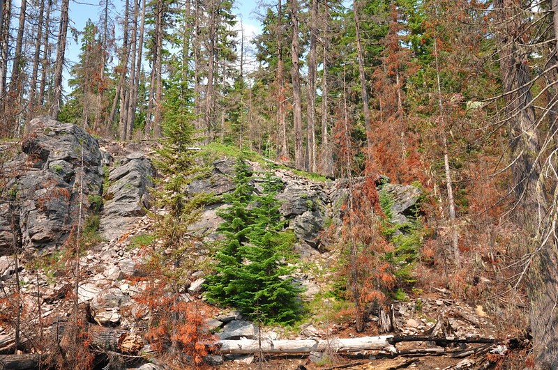
The trail traverses a feature called Diamond Rockpile. Snow on the slopes here has created bends in the tree trunks.
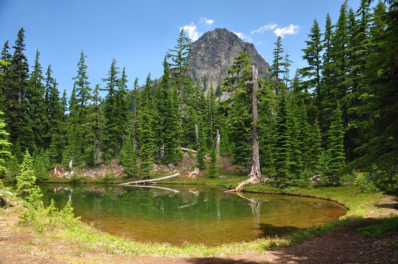
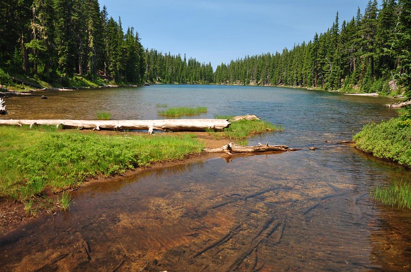
The trail takes a nosedive down from the rockpile. At the bottom, a short side trail leads to Marie Lake, a great swimming lake for all ages since it’s shallow at the near end (for kids), then gets deeper further out.
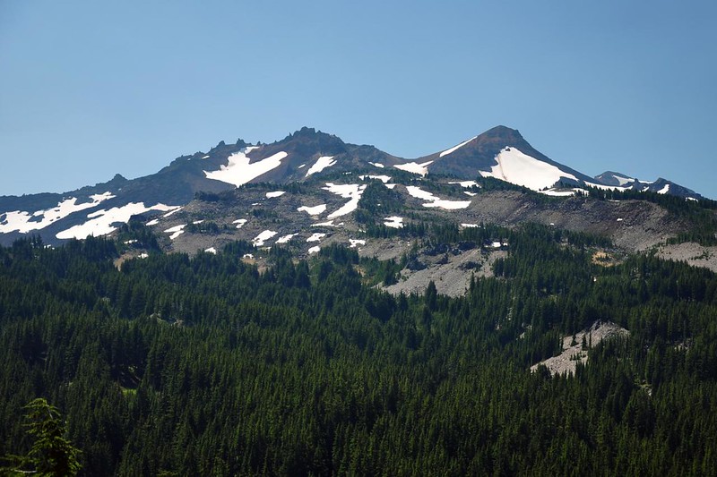
A boot path works its way around the lakeshore and if you go far enough down you can see part of Diamond Peak above the trees. Looks VERY different from this angle than it did the day before from near Divide Lake!
I sat by the lake for awhile. The mosquitoes had been present off and on but a nice breeze kept them mostly away.
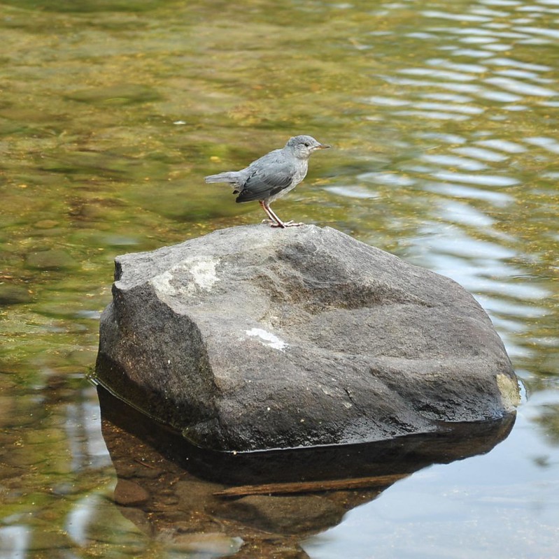
I saw a dipper bird. Love these guys!
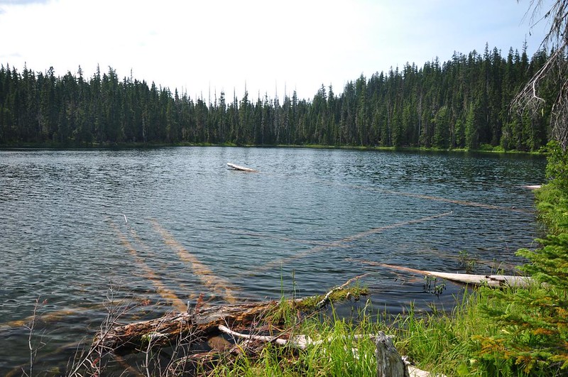
After Marie Lake I went to checkout Rockpile Lake, which is a little ways off the main trail and not hard to find. Crossing a meadow to get there I turned and saw Diamond Peak behind me.
Like Marie Lake, Rockpile Lake is a deep lake great for swimming. LOTS of places to camp here. I didn’t see anyone camped but it looks like it gets heavy use.
I lingered for awhile enjoying the pleasant afternoon, then headed back. With some time to kill still before dinner, I did some exploring, driving over to Timpanagos Lake. Came across this very old and weathered sign on Road 2160.
TimpanagosLlake is quiet and peaceful, and when I was there, miraculously bug-free. This is the source of the Middle Fork Willamette River. It was kind of crazy to sit there at this peaceful mountain lake and imagine its waters eventually passing through Portland.
I also stopped by Opal Lake, which is just off the road. A small wildfire burned here in August last year. I looked it up online later and discovered that it was burning exactly one year prior to my visit. Weird!
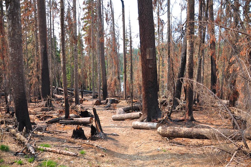
These two trees somehow managed to survive, despite being surrounded by burnt trees all around.
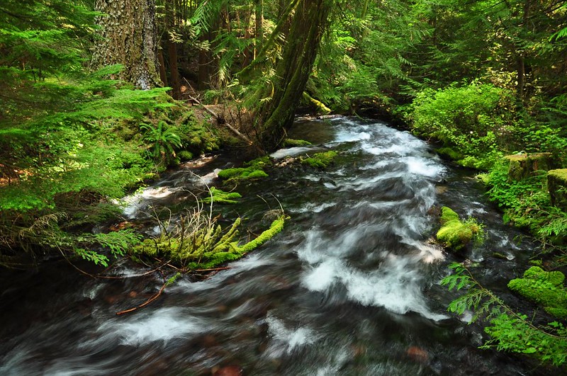
On the way back to the campground I stopped to see Indigo Springs, which rushes out of the ground as a full-fledged creek. No tiny trickling spring here!
By the way, I camped at Sacandaga Campground, which is right next to Rigdon Meadows.
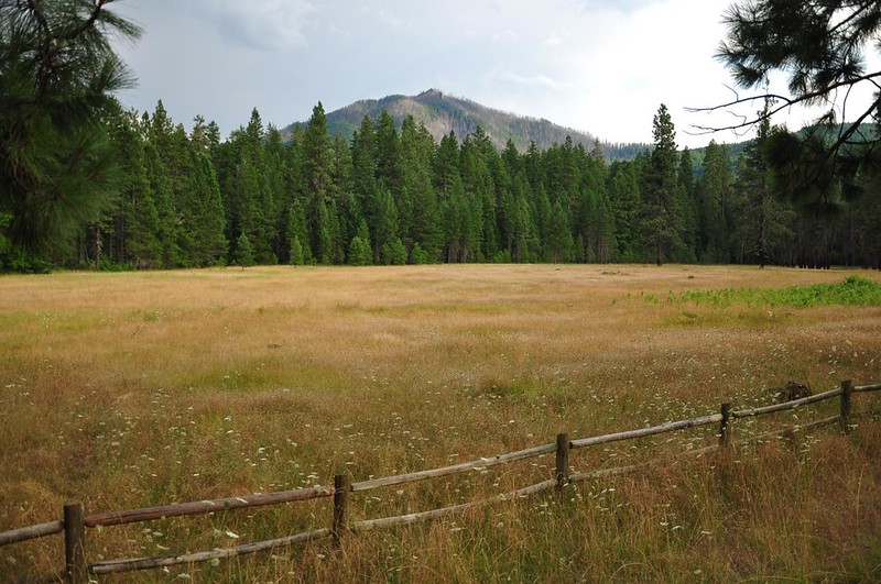
The old route of the Oregon Central Military Wagon Road goes right through here (it is now Road 276).
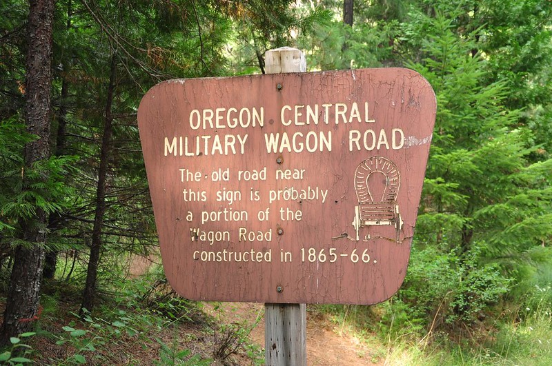
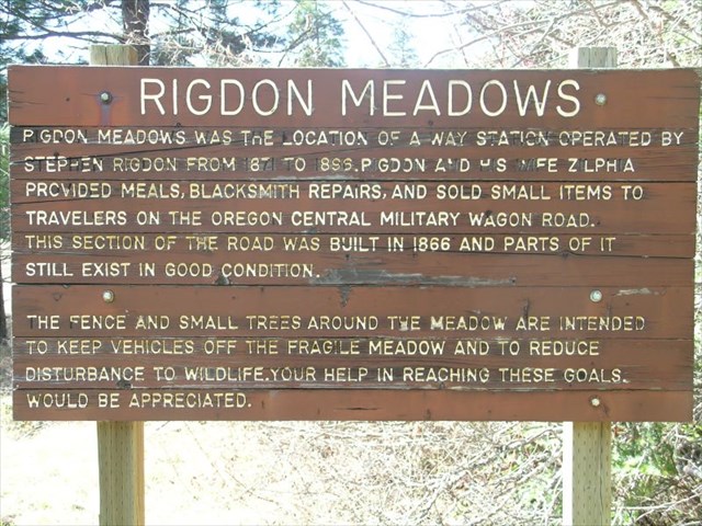
According to Oregon Geographic Names, a man named Steve Rigdon maintained a post here 1871-1896 and kept careful records of westbound emigrants and eastbound travelers on the wagon road. There used to be a sign here explaining the history, but it’s gone now. Here’s a picture of the old sign:
Later, this was the site of the Rigdon Guard Station.
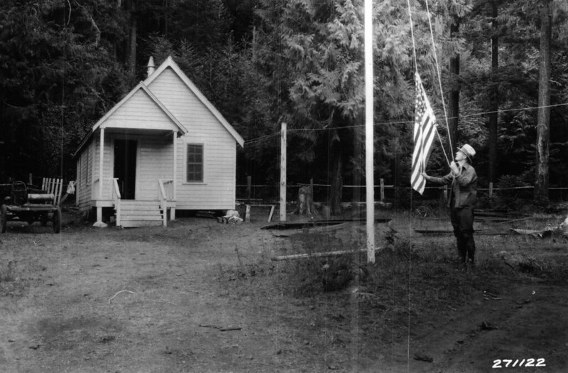
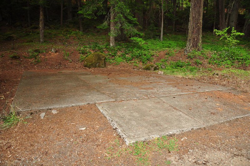
The only remains are a foundation, perhaps from a garage or barn or some other outbuilding:
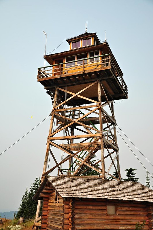
I didn’t do any hiking Sunday, but headed up to the Warner Mountain lookout to look around.
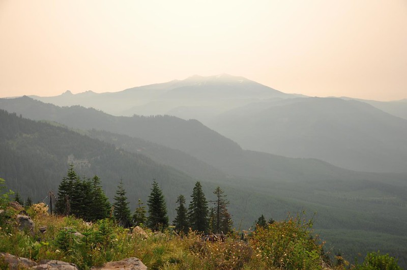
The smoke had gotten way worse. Here’s the smoky view of Diamond Peak.
So that was my fun weekend exploring the Middle Fork area and Diamond Peak Wilderness. One thing I have to comment on is how AMAZING the road signage is down there. Just about every junction, major or minor, is clearly signed. Most of the creek crossings have signs, and major junctions have signs with distances to the next major landmarks. I’ve never seen anything like it in a national forest before!


