Exploring the Oregon Badlands
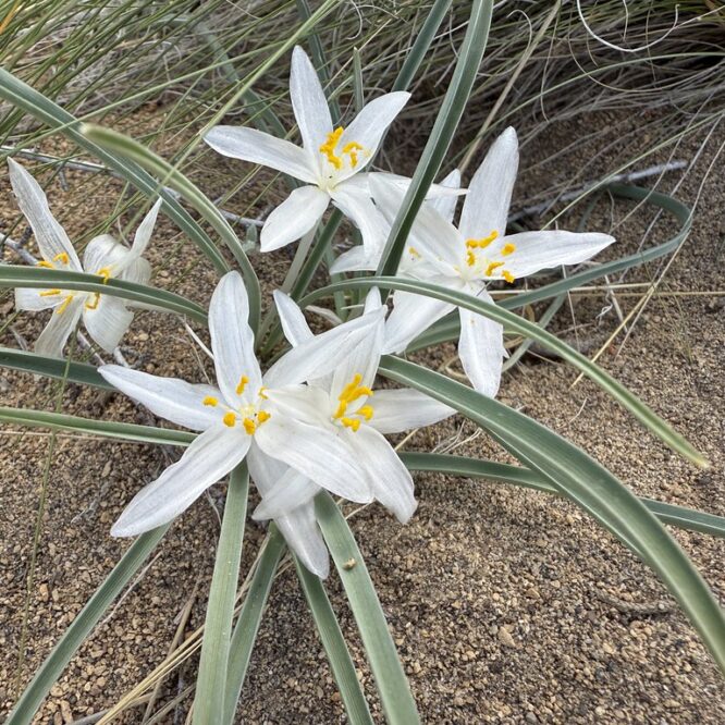
Monday, May 26, 2055 Before heading home from our weekend in Bend we explored the Oregon Badlands Wilderness.
Adventures from a peachy life
Monday, May 26, 2055 Before heading home from our weekend in Bend we explored the Oregon Badlands Wilderness.
Date of visit: May 27, 2012 Population: 699 (2010 Census) When President Franklin Roosevelt created the Civilian Conservation Corps to
When you’re on a road trip, just trying to get from point A to point B, do you ever drive
After our marathon trek to and from Marion Falls, we headed over to Pamelia Lake, even though it was late
I have a very strange work schedule, so I occasionally have weekdays off, which was the case this past Thursday.