Sunday, May 28, 2023
On our second day of Memorial Day Weekend hiking we re-visited Soda Mountain, which we first hiked in July 2017.
The clouds were thick and low as we drove to the trailhead, with not a patch of blue sky to be seen. We got above the clouds for the most part by the time we parked, and we started seeing sun:

We headed south on the PCT and got some views as we passed beneath powerlines:

Entering the Soda Mountain Wilderness:

We crossed this meadow where we saw a lot of wildflowers in bloom six years ago:
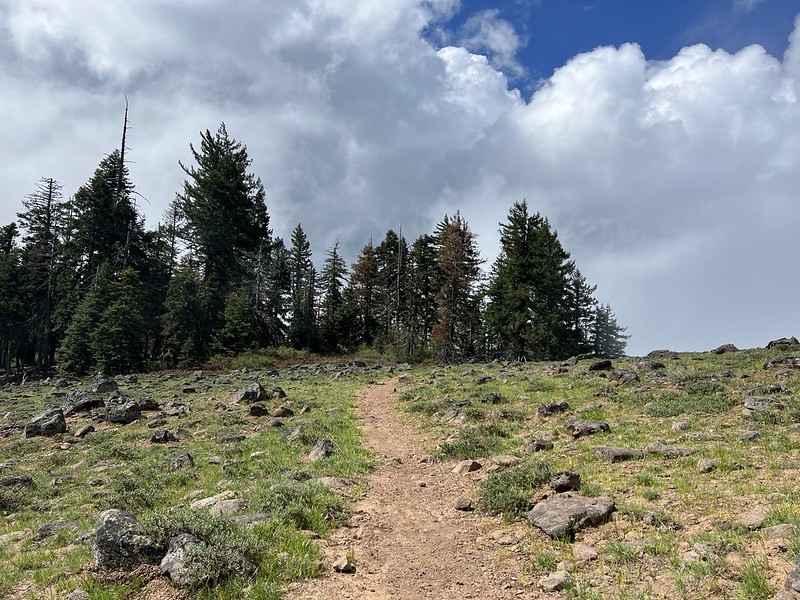
This time we were too early for most of the wildflowers, but we still saw some. Phlox:

Balsamroot:


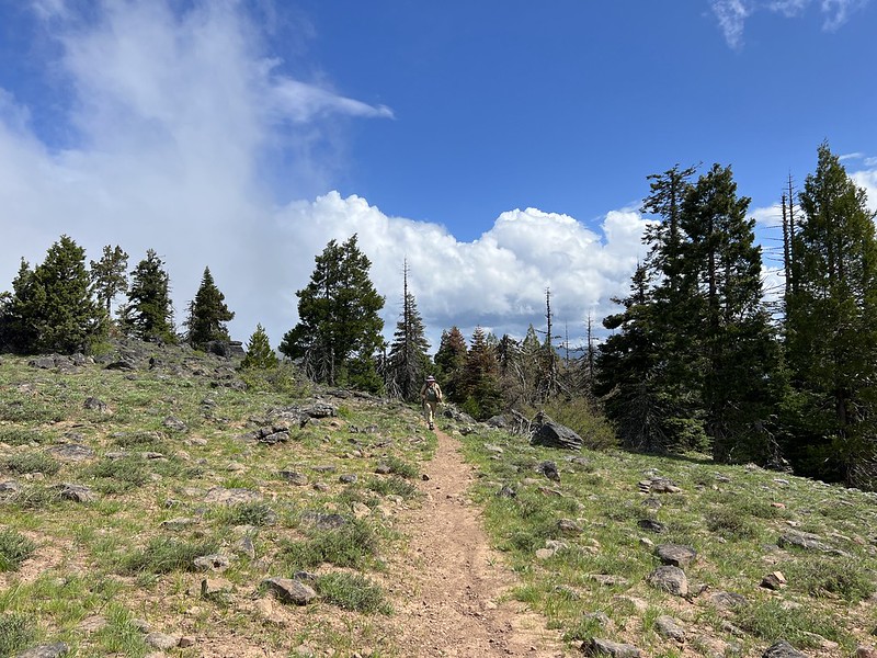
Mt. Ashland is out there hiding in the clouds:

Back in the forest we saw some trillium:


From this clearing we could see Soda Mountain ahead, with a communications tower poking up above the trees:

The forest understory wasn’t as green and lush as last time. Give it a few weeks:
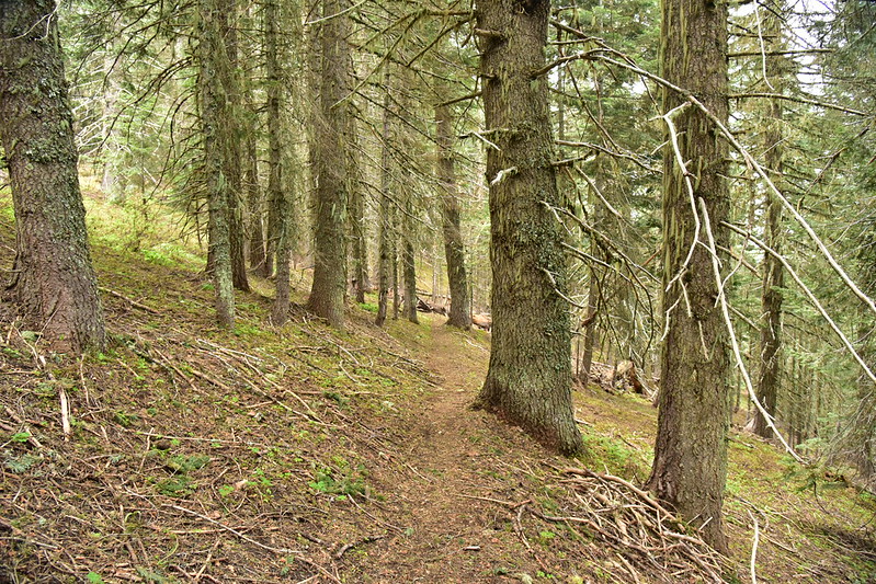
There was A LOT of waterleaf, although it wasn’t flowering yet:

We reached the easy-to-miss junction and headed uphill:

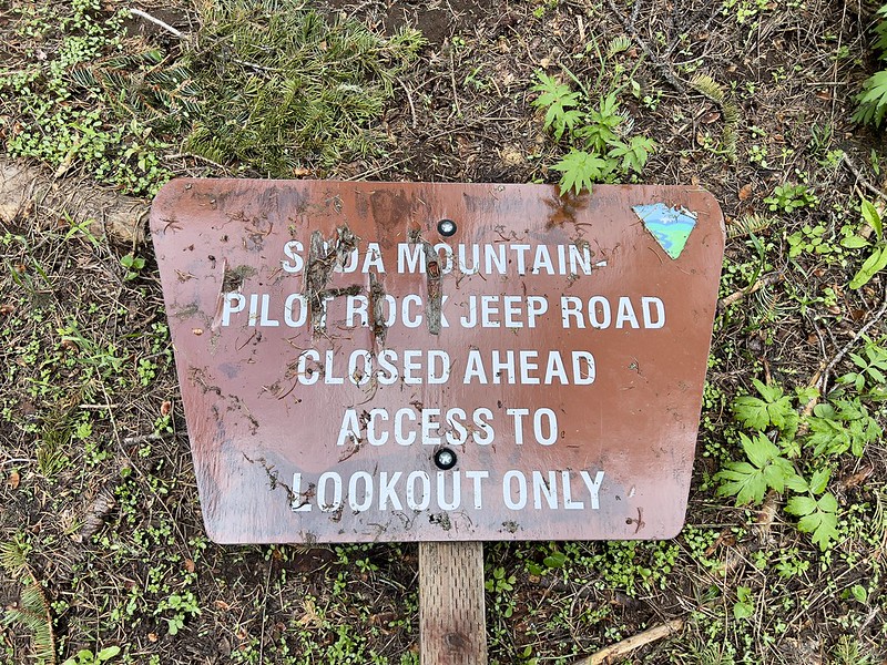
We reached the lookout access road where we soon found a road sign that had fallen:
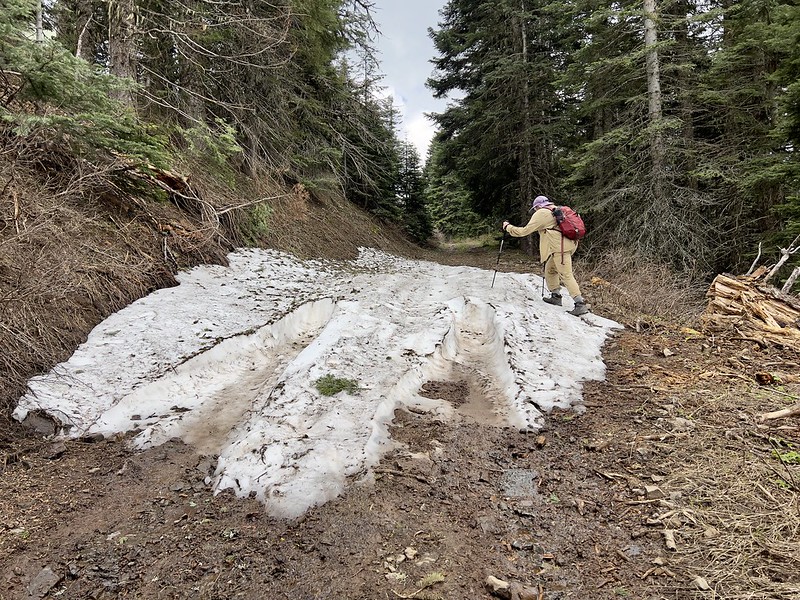
The last bit of the hike is up this road:

There were some puddles:

And some lingering patches of snow:
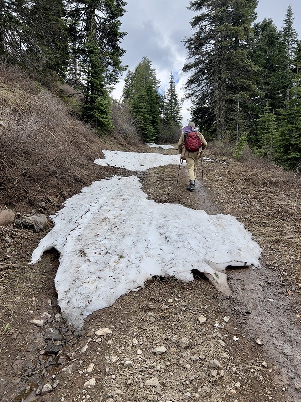
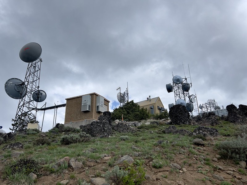
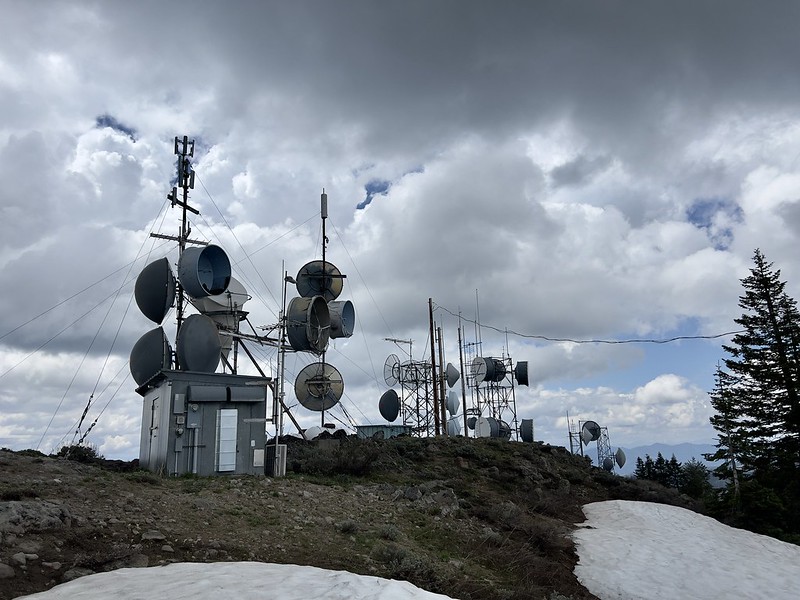
We reached the summit, which is crowded with communications equipment:

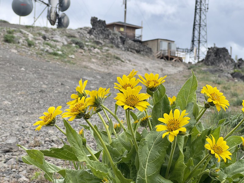
There were flowers in bloom up here including balsamroot:
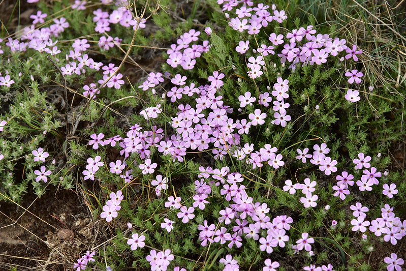
And a whole bunch of phlox:



The lookout was all closed up and I noticed that it now had cameras for remote fire detection:


The shutter over the door was not in place so I could see through the window. The interior bore no signs of a lookout that is still being staffed. No bed, no stove, no firefinder:

There were a lot of clouds, so the views were only partial. View of Mt. Ashland:


Mt. Shasta is out there somewhere:
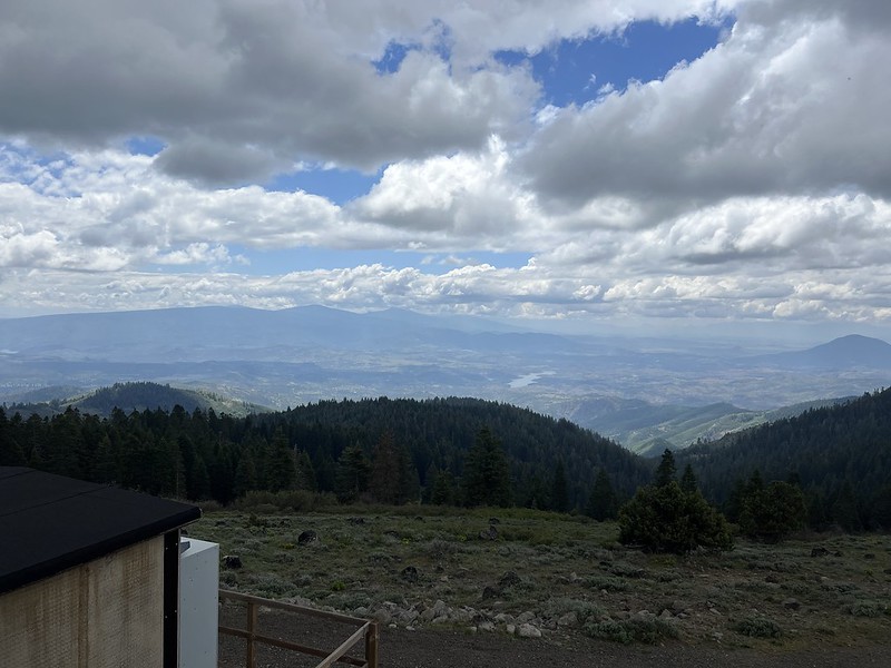
We sat and took a break. Our phones had a terrible signal up here. I guess none of these are cell phone towers:
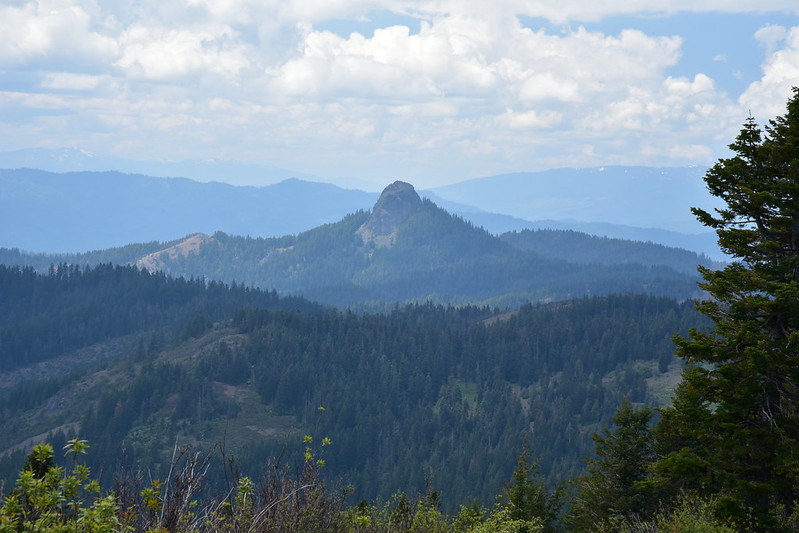
View of Pilot Rock on the way down:

Hiking on the PCT through the forest:

Back in the first meadow we now had a view of Mt. Ashland that we couldn’t see before:

Gaia stats: 4.3 miles, 740 feet elevation gain


