Friday, October 15, 2021
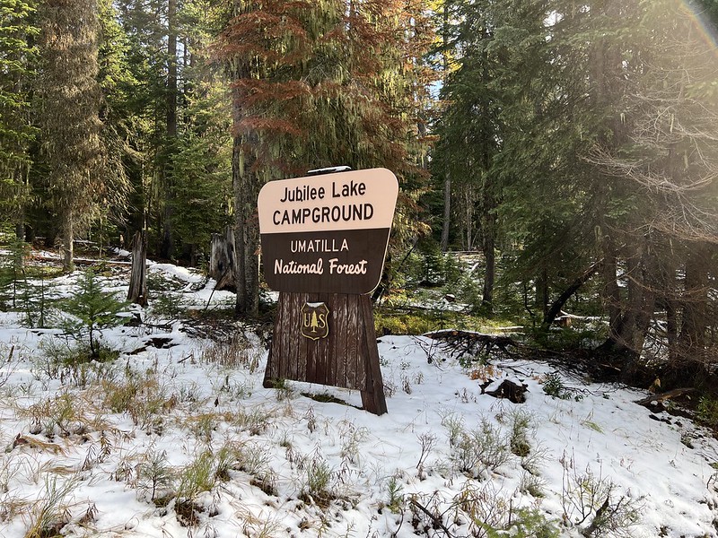
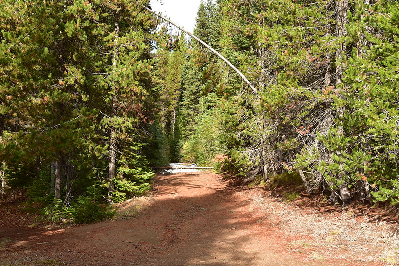
While staying at the Fry Meadow Guard Station I did a few hikes. The first of those was Jubilee Lake. The hike starts at the boat ramp in the campground, however Forest Service staff were there that day closing up the campground so I had to park outside the gate on the access road and hike down. Yes, that is snow in the photo below. It had snowed the previous week and although today was precipitation-free it was a chilly 37 degrees at 10:45:
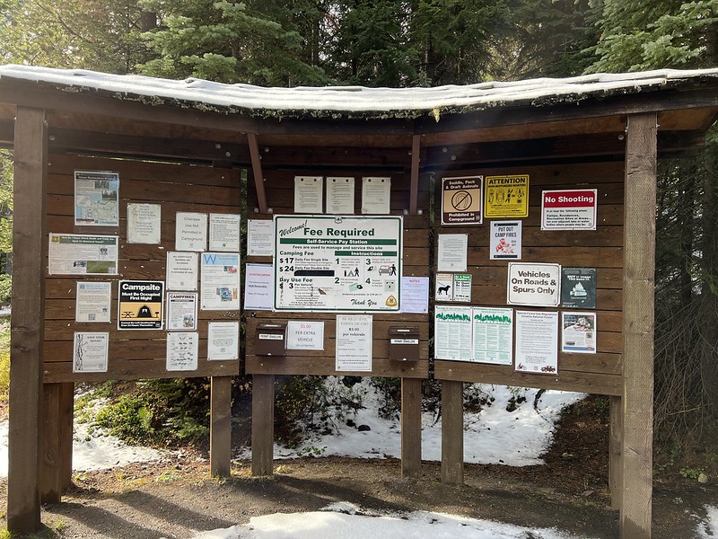
Does the Forest Service honestly think that campers read everything on this signboard in the campground?
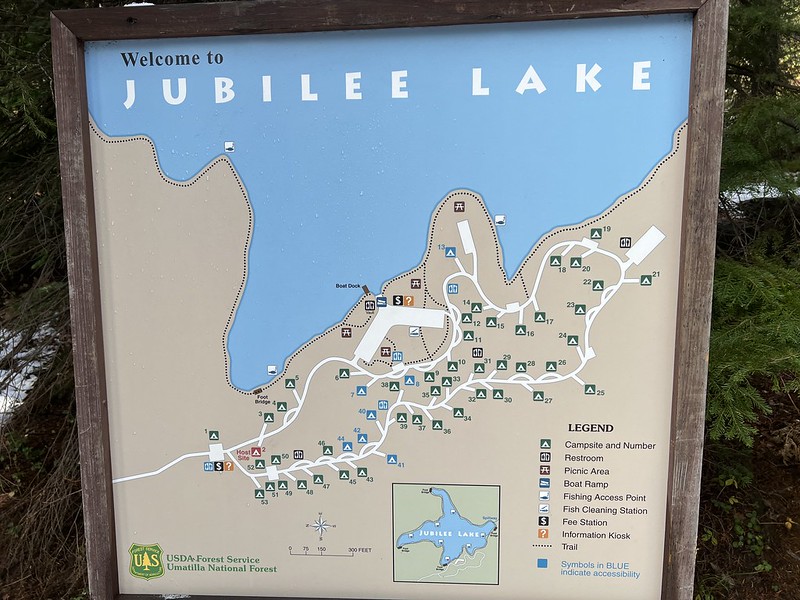
There’s a nice campground map. I had to park along the road off the left edge of the map:
Snow in the campground:

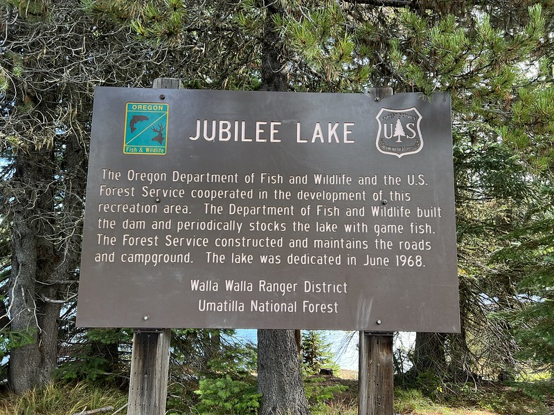
This sign explains how Jubilee Lake came to be in the 1960s:
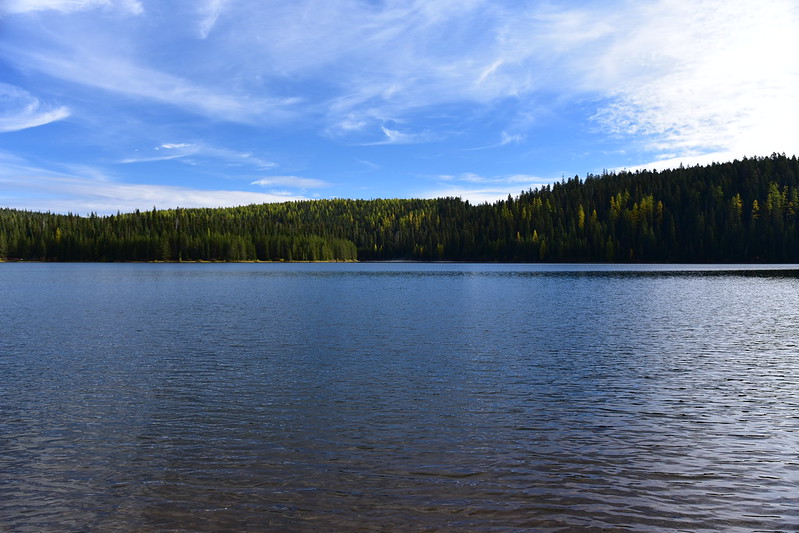
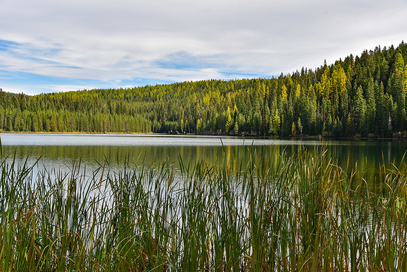
Jubilee Lake from the boat ramp:
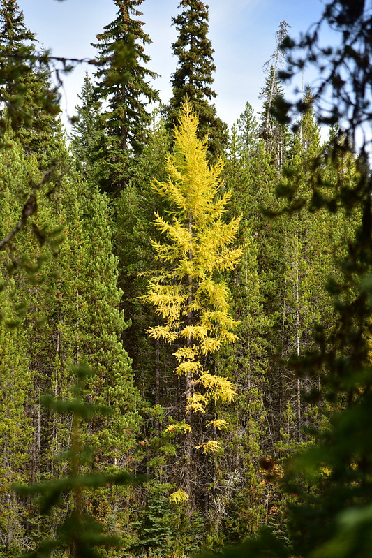
I set off on the path heading clockwise around the lake. There were some nice colorful larch trees scattered through the forest:


There was a bit of snow on the path:


Some clouds started rolling in:


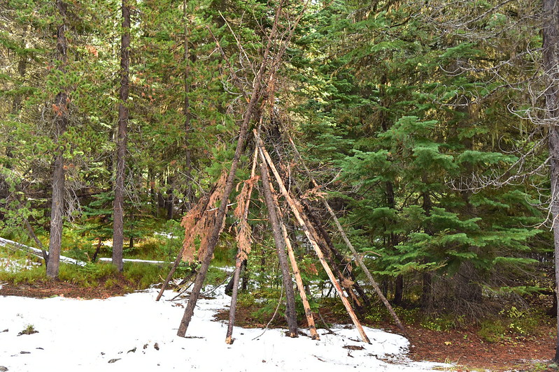
At one point this summer someone constructed this shelter but neglected to take it down when they were done:
Instead of placing this bench with a view of the lake it was placed with a view of tree trunks:

An old gated road connects with the path on the far side of the lake:

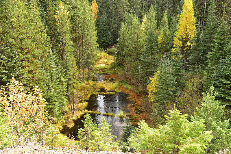
This is where Mottet Creek flows into the lake at it’s eastern arm:

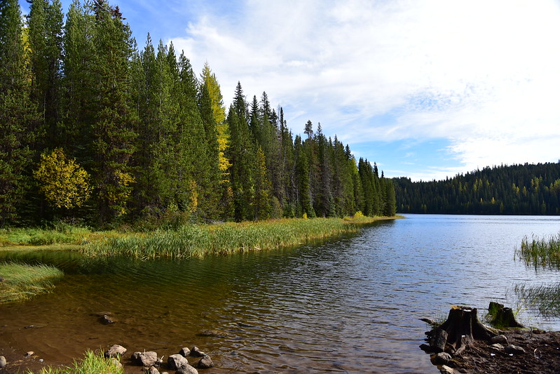
By the dam at the south end of the lake was a very nice patch of larches:

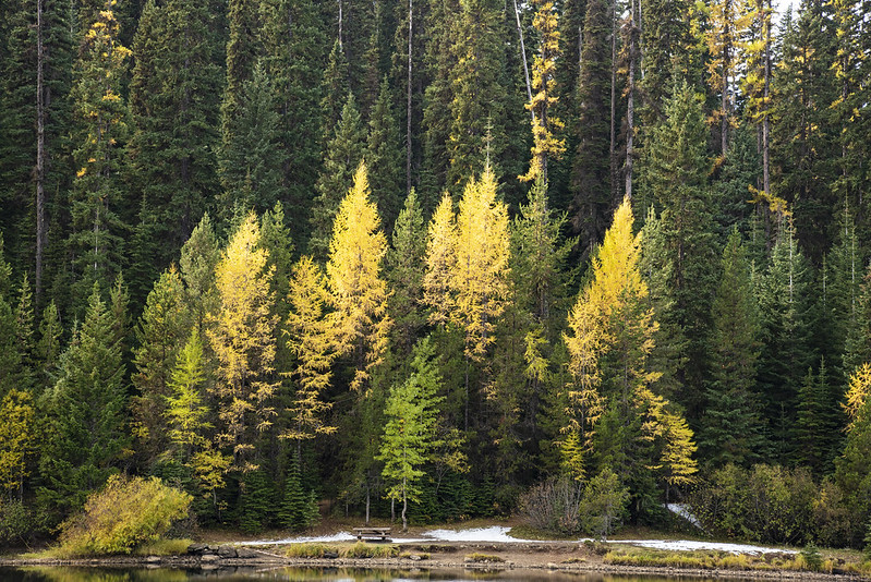
More larches!

Crossing the dam:


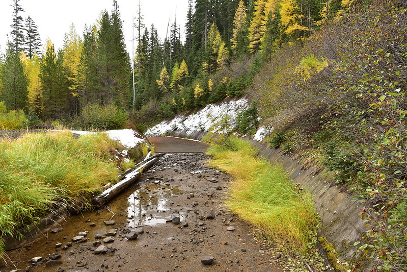
Mottet Creek flowing out of Jubilee Lake at the dam:
The dam spillway:
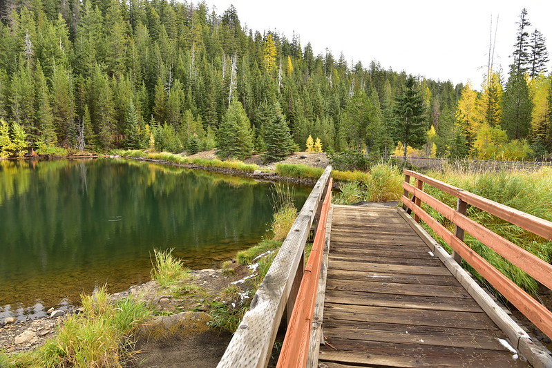
Footbridge over the spillway:
Looking back at the dam:


Continuing on around the lake:


Then I reached the boat ramp where I started my hike and trekked back up the access road to my car. This was so easy it was barely a hike, but it was a very enjoyable outing a beautiful day!
Gaia stats: 4.3 miles, 230′ elevation gain


