Saturday, April 3, 2021
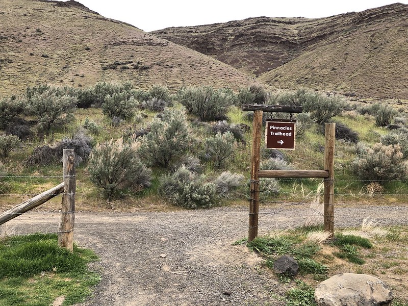
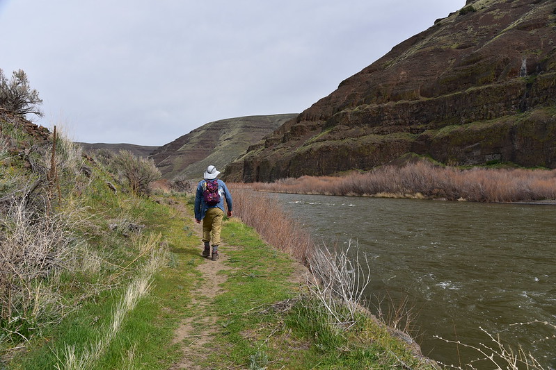
Today we visited Cottonwood Canyon State Park, which neither of us have visited before. Our first hike of the day was the Pinnacles Trail, which follows an old ranch road downstream along the John Day River.
A quick note about this hike. We had heard that the trail was closed at some point because of eagle nesting. We saw not a single sign about this anywhere. Later I wrote to the park staff and they replied that yes the closure was in effect and that there should have been signs. You can read more about the eagle closure here.
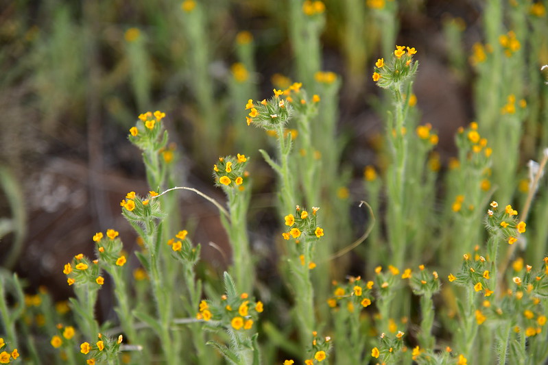
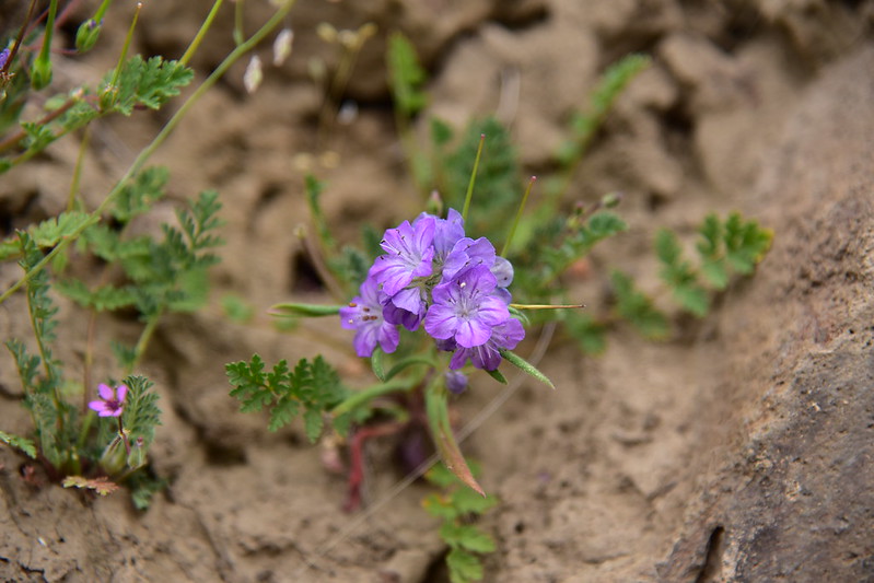
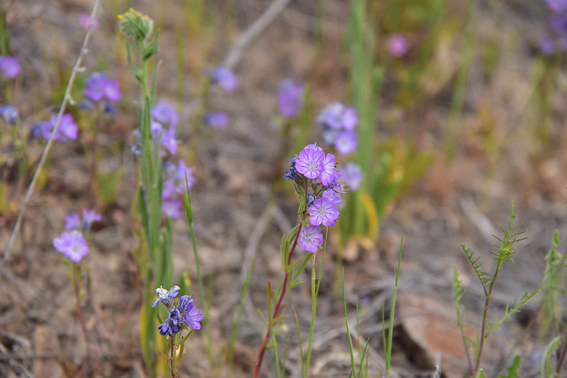
We parked along the road to the campground and started hiking the trail that ran parallel to the road. Wildflowers greeted us right away:
It was pleasant out, with no wind, although it was completely overcast and stayed that way all day. We could hear canyon wrens, red wing blackbirds, and meadowlarks:
We hiked 0.3 miles to the end of the campground, we discovered there was a proper Pinnacles Trailhead with parking. Well, now we know for next time.
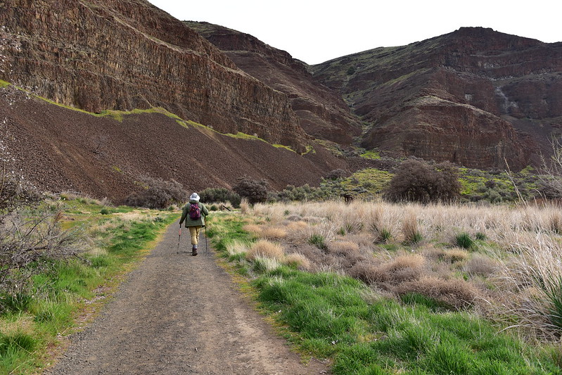
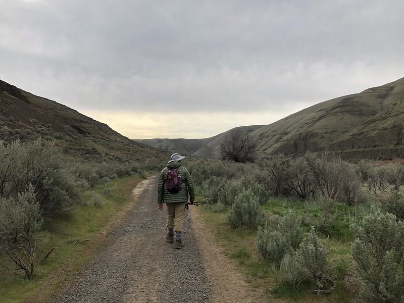
We continued down the Pinnacles Trail:
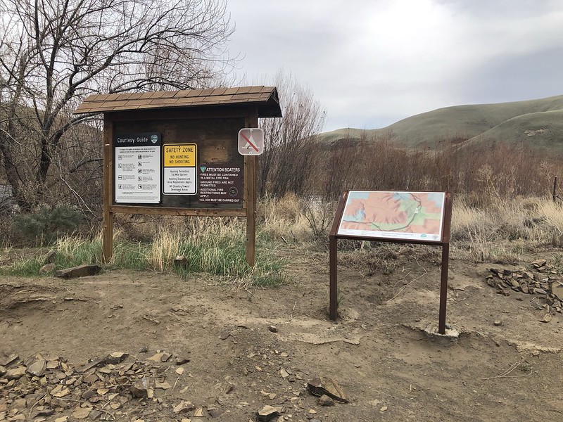
And soon passed an info kiosk:

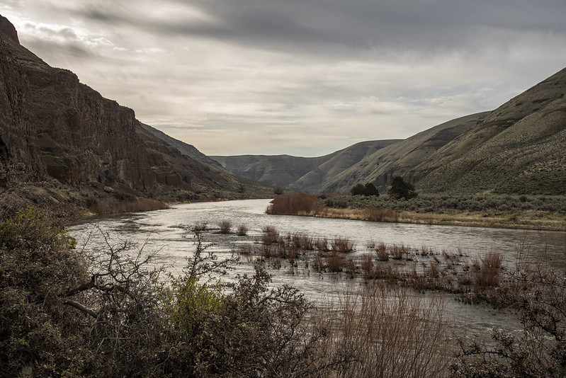
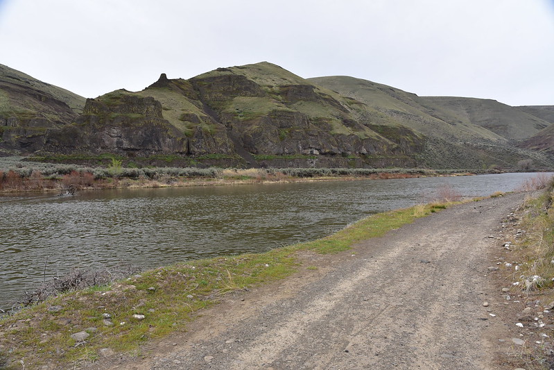
Looking upriver:

Looking downriver:
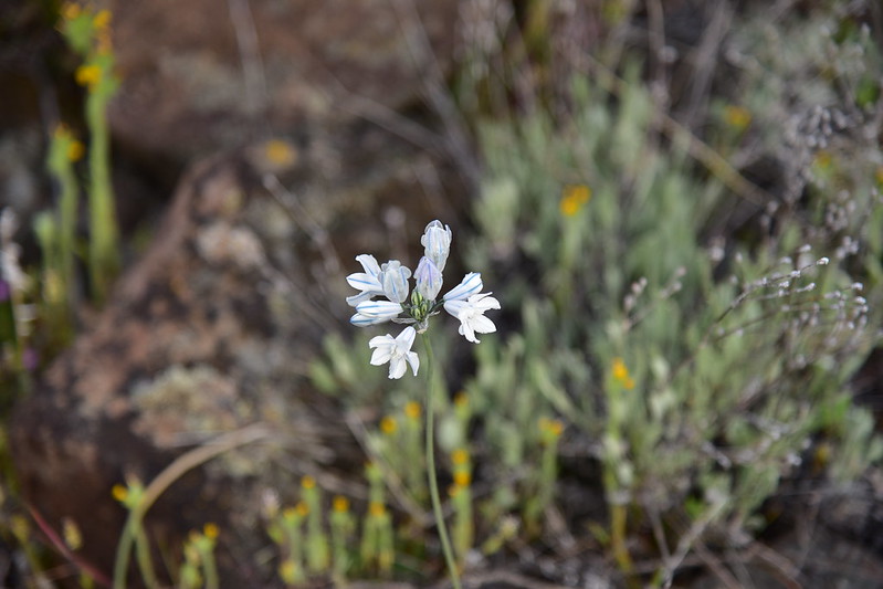
More wildflowers:


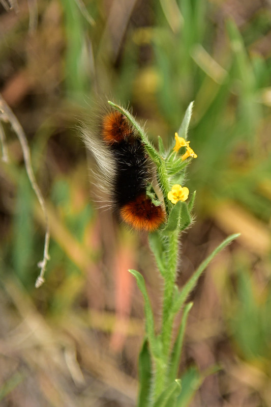
Saw some of these fuzzy caterpillars:
Continuing:

We reached a junction with the Upper Walnut Trail and took it:
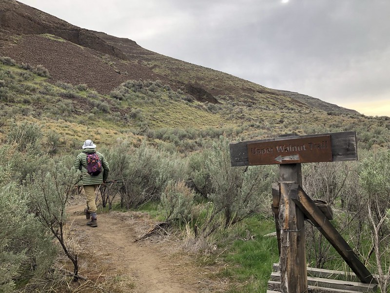
This trail parallels the old ranch road we had been walking on:


Showy phlox:


Nice bench for admiring the view:


We reached an open gate:

Not long after the gate we stopped at a river bend with a view across the river to the Pinnacles. We stopped for a snack and made this our turnaround point:


We spotted a belted kingfisher on a branch:

We hadn’t seen anyone else all morning but three backpackers passed us heading back to their car. Dogs are required to be on-leash in the park, but theirs was running around off-leash.
After our break we headed back:

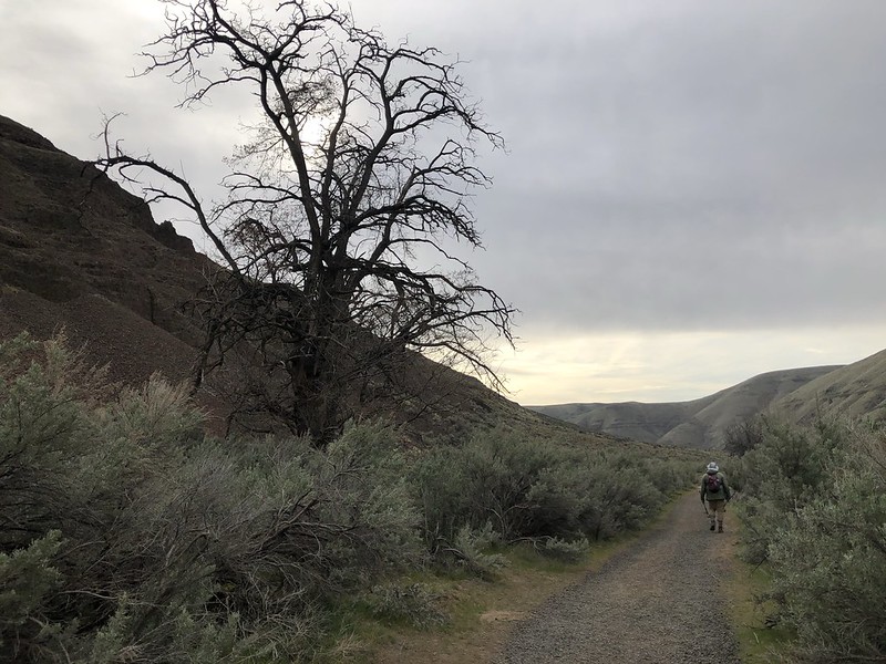
Big old tree:

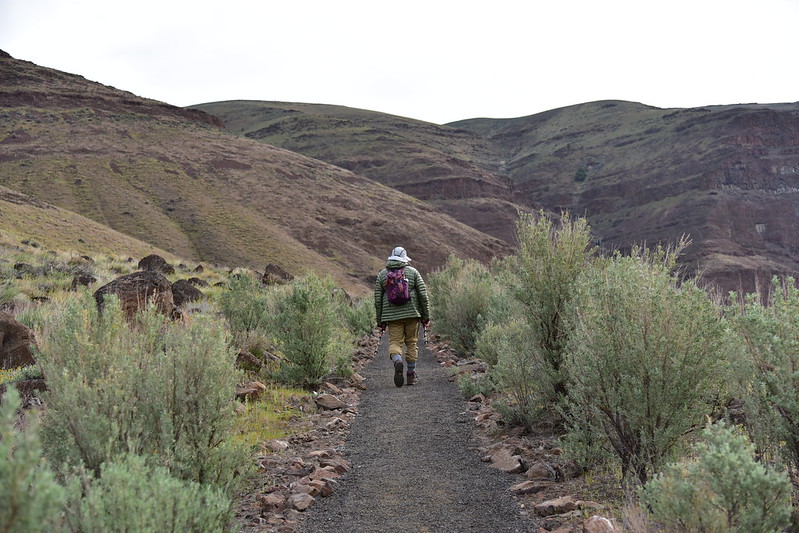
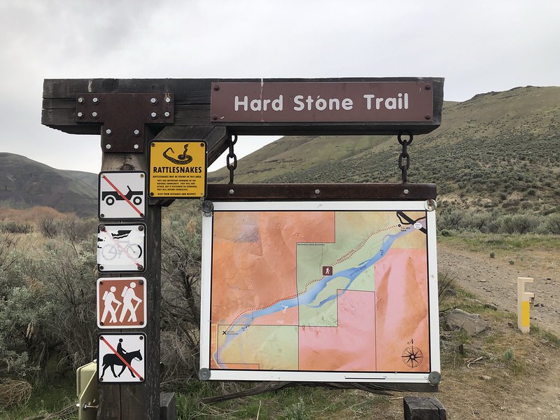
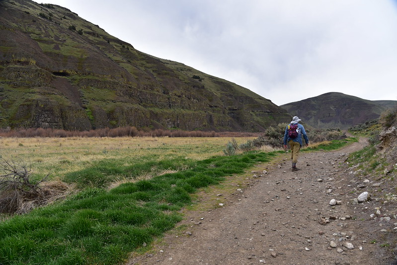
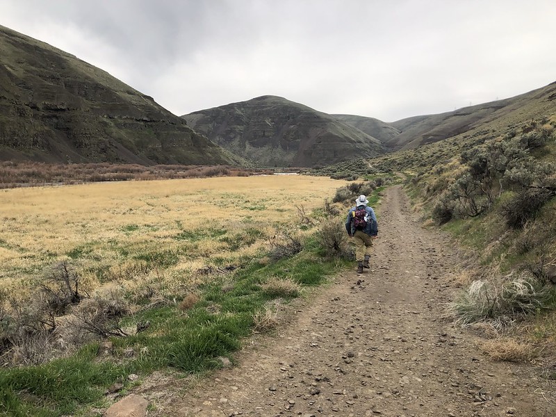
Next up was the Hard Stone Trail, which was an old ranch road going upstream (unlike the Pinnacles Trail, which had gone downstream):
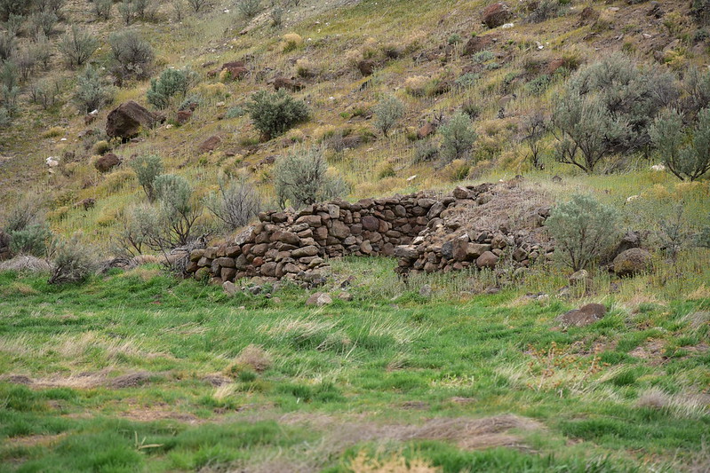
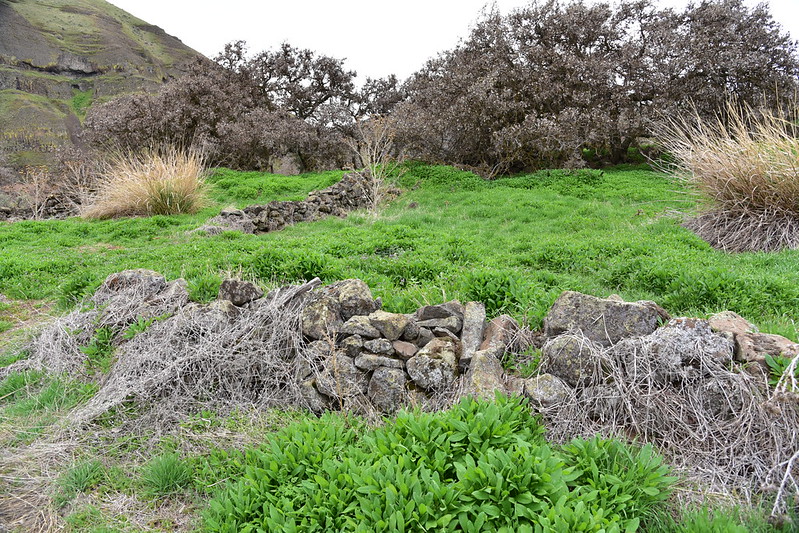
Right by the trailhead are these stone ruins. In his hiking book, William Sullivan calls this a “century-old stone house” and says it “dates to the days when Irish shepherds had the time to pile rocks while watching their flocks”:
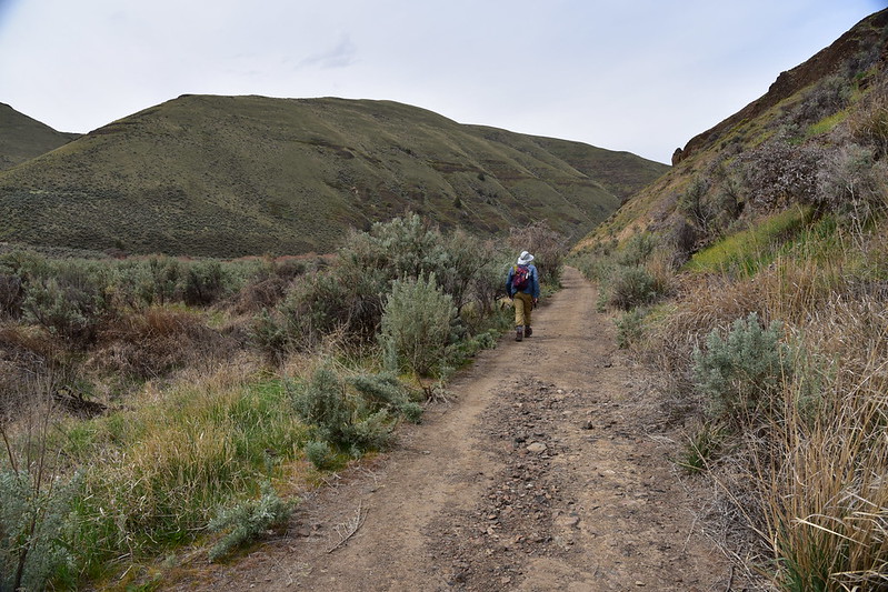
We passed through a very similar landscape to the earlier Pinnacles hike:

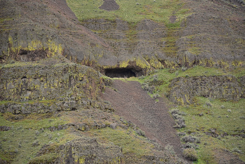
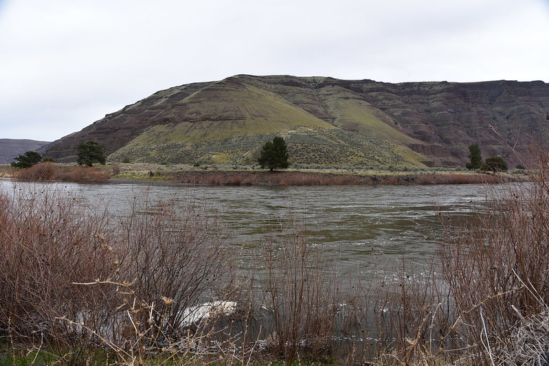
We saw this cave high up on the cliff on the other side of the river:

We reached what looked like an old stone corral:

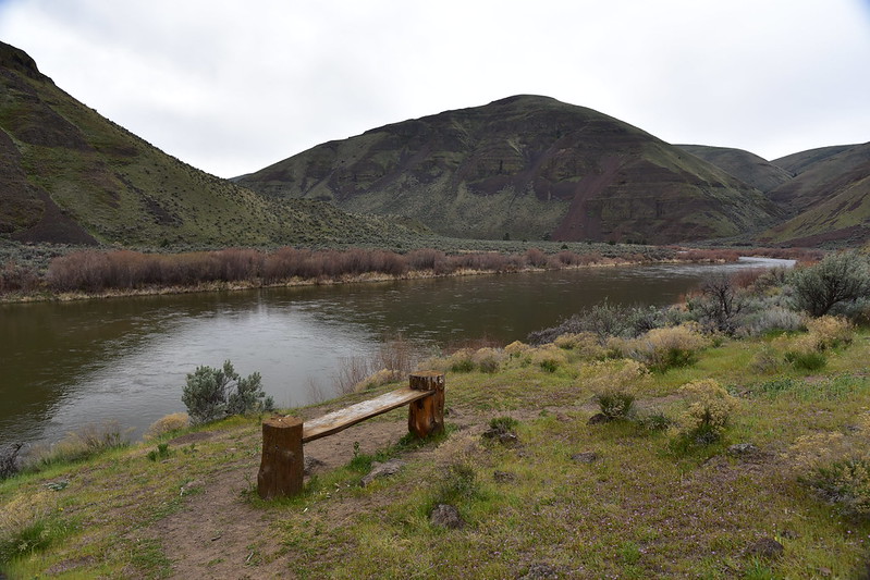
A riverside bench for enjoying the view:
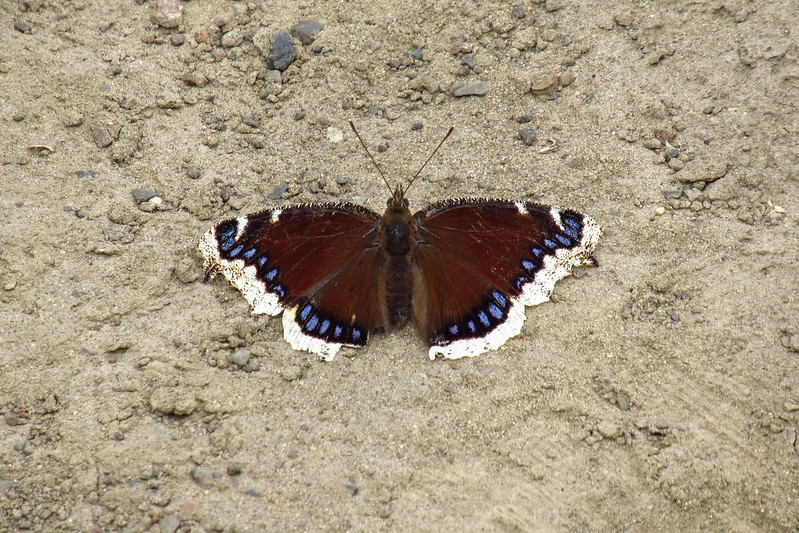
This butterfly was kind enough to hold still for a photo:
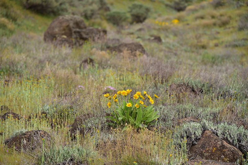
Saw saw wildflowers:


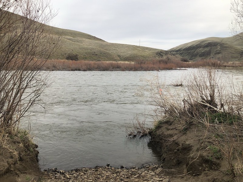
After 45 minutes and 1.6 miles we reached our turnaround point at a sharp bend in the road and river where there’s an eddy:

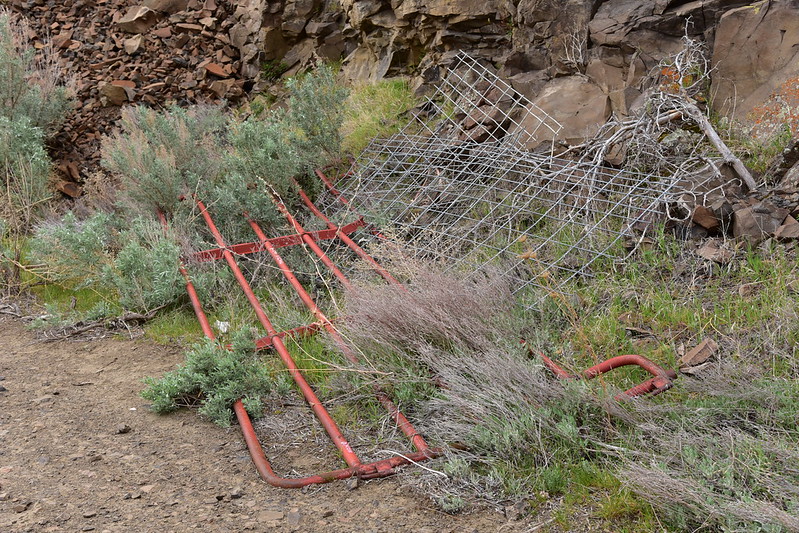
There is an old broken gate here:
At some point the river got high enough to deposit debris on the road here:

After a break we turned and headed back:
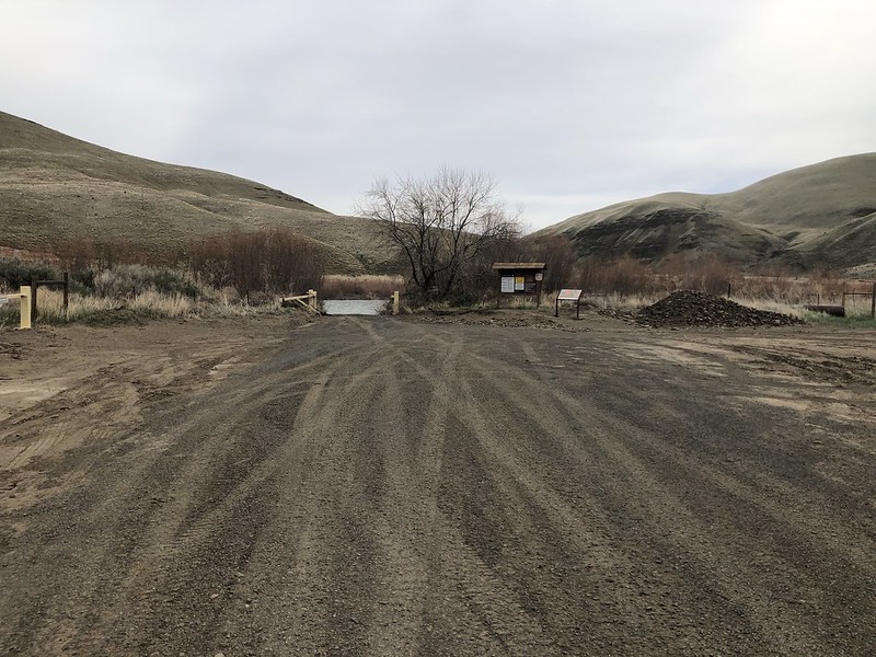
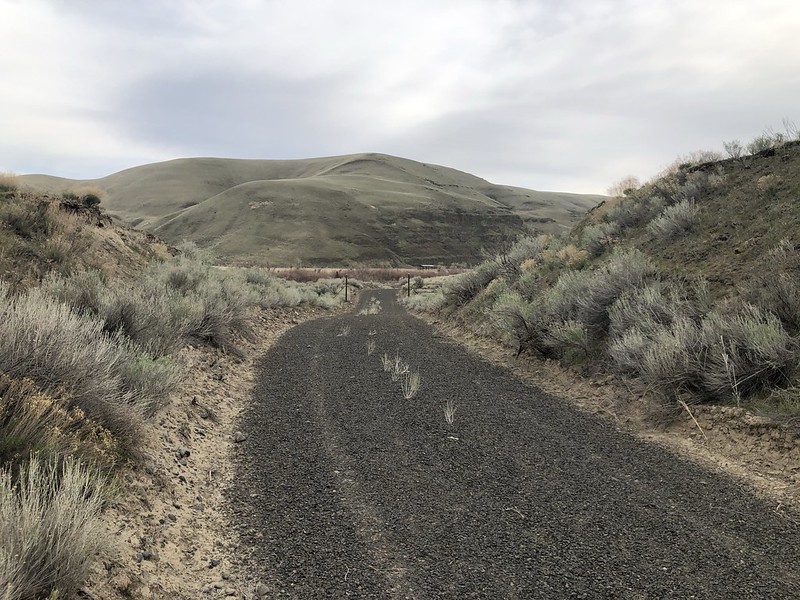
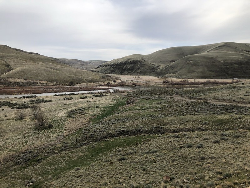
Our last stop of the day was driving 10.8 miles to the end of Starvation Lane where there is some kind of primitive boat put-in. This is part of the state park, even though you have to drive a long way around to reach this spot:
A gated gravel road heads upstream from here. We didn’t have a signal but later looked up the info for hiking that stretch.:

Looking down at road’s end from above:
There was a spot on the slope above the road a mile or two before road’s end where there were a whole bunch of shooting stars blooming:

On the drive home we spotted a male and female turkeys along Highway 197. Fun way to end the day!:

Gaia stats for the Pinnacles Trail: 6.2 miles, 120′ elevation gain
For the Hard Stone Trail: 3.2 miles, 40′ elevation gain


