Greg and I spent Memorial Day Weekend in eastern Oregon. After hail and lightning on Friday followed by cold cloudy weather on Saturday, we finally had sunny weather on Sunday, and what a freakin’ gorgeous day it was!
Our destination for the day was the Monument Rock Wilderness. As the crow flies it was pretty close to where we were staying at Unity Lake State Park, but as the car drives it was not. We debated on our route. We could drive west on 26 to Prairie City then drive south to get to the trailhead via Road 13 then 1370. That seemed circuitous so we considered a shortcut from Unity via Road 6005, then to 2652, which connects up with 1370 to the trailhead. But we were worried that 6005 (which appears on topo maps but not the big Forest Service map) would be too rough. So we decided to go east from Unity on 26, head west on Road 16, then north on 13 to 1370. Not sure if this saved us any time over the Prairie city route, as it took us two hours of driving time from campground to trailhead. The last few miles of 1370 are pretty rough. High clearance and good tires are recommended. (That being said, some geocachers in a Kia made it up to the lookout after we left, we later learned!
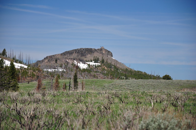
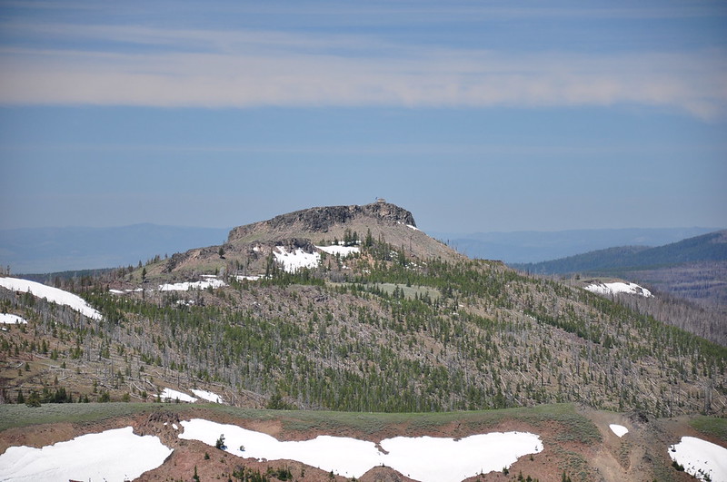
A few miles before the trailhead we got a view of Table Rock and it’s lookout from Road 1370.
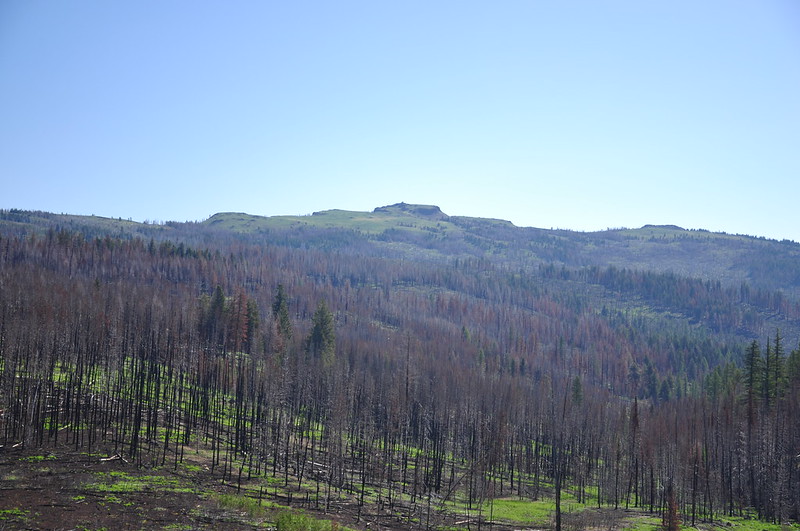
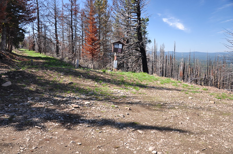
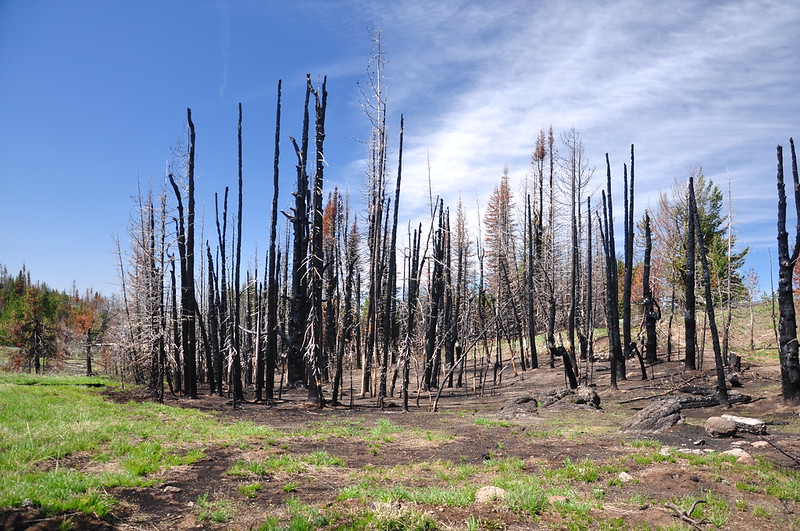
This area was scorched by the 2016 Rail Fire which burned 41,000 acres and cost $34.9 million to put out. (It was human-caused, by the way.) We were surrounded by blackened trees as we bumped along, finally reaching the Table Rock South Trailhead.
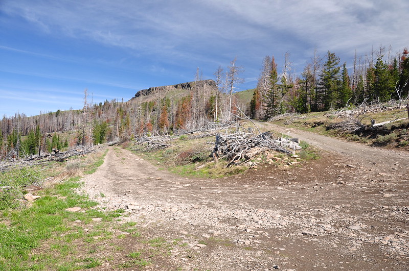
On the left: the way we came up. On the right: the road keeps going up to the lookout.
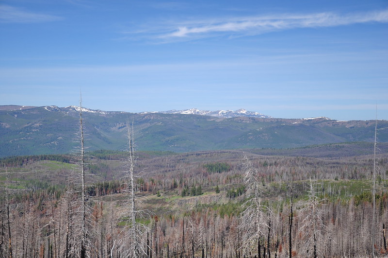
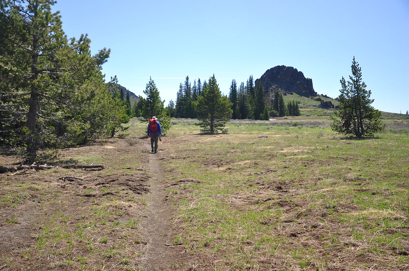
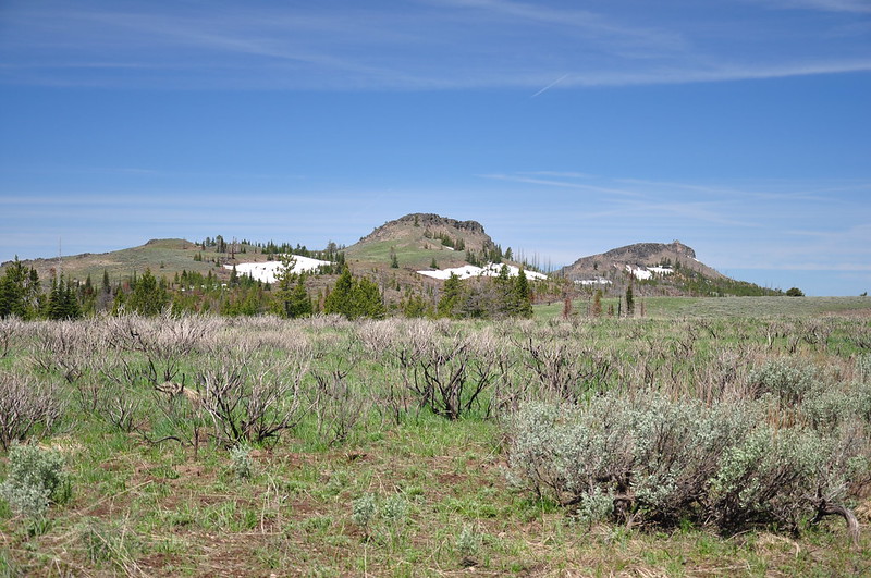
It’s always nice when you get views right from the trailhead. Those snowy peaks are in the Strawberry Mountain Wilderness
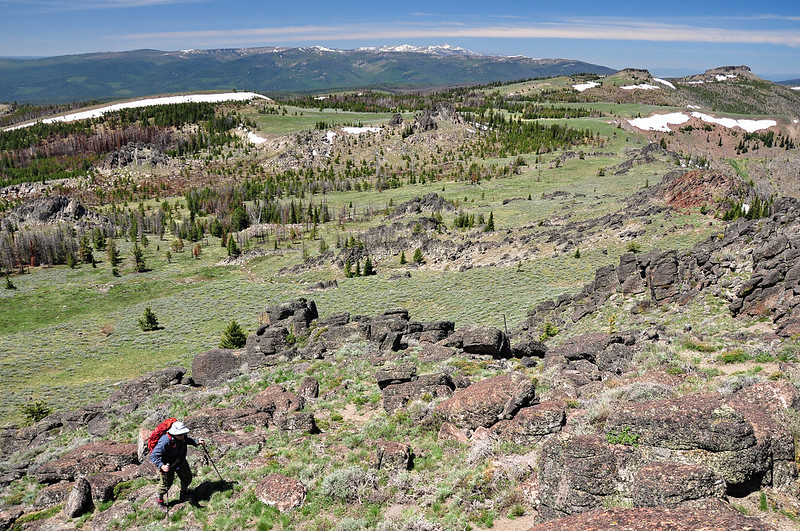
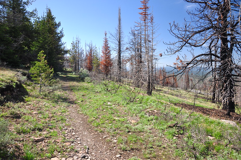
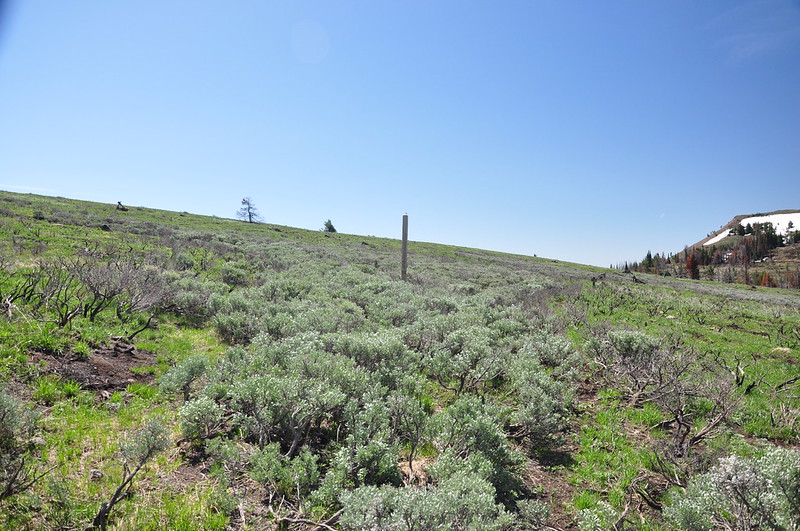
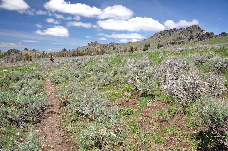
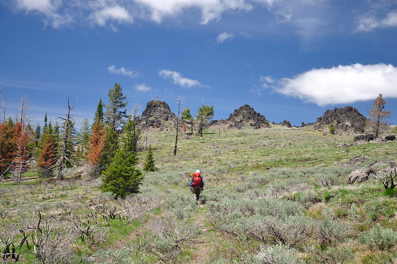
We set off down the trail, which follows the path of an old road. This wilderness was designated in 1984, so it’s been at least 34 years since this was an active road, maybe longer:
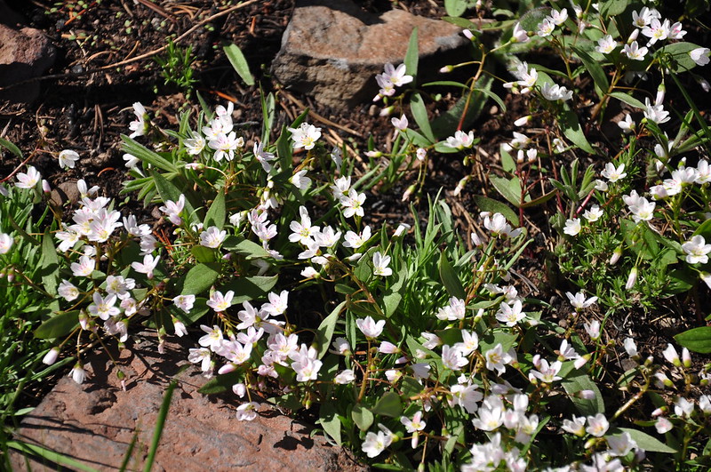
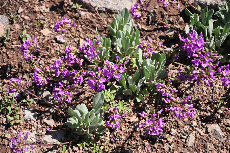
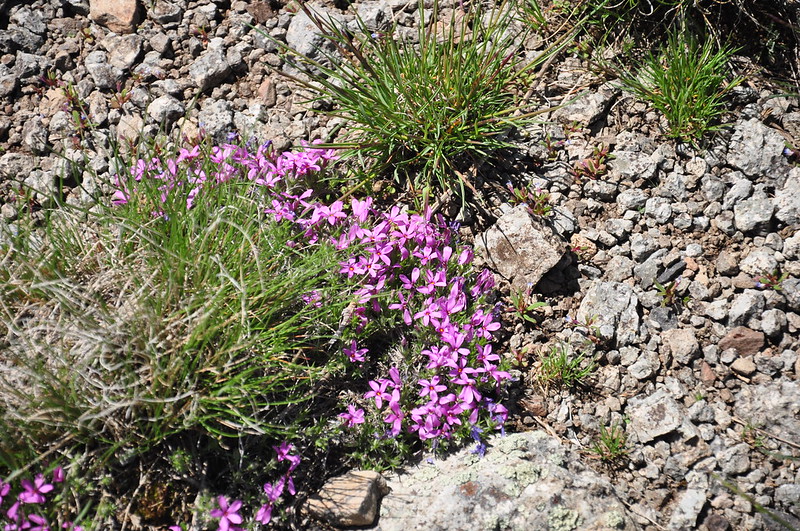
We saw a few wildflowers:
And some scorched trees:
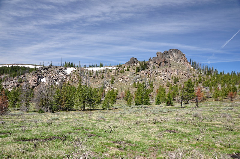
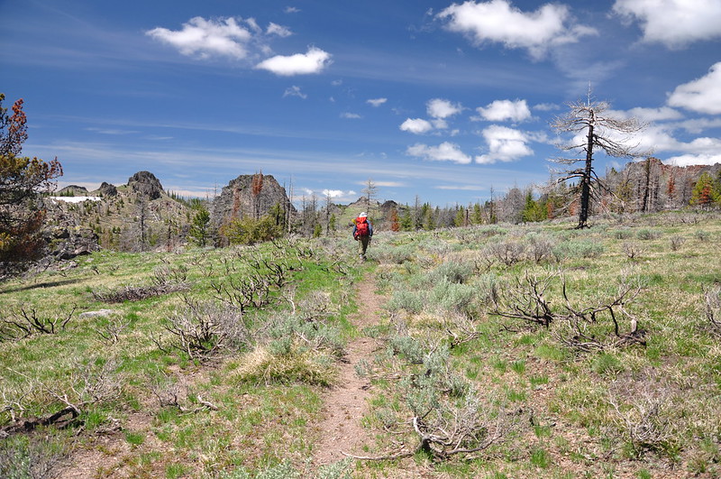
But the fire didn’t burn everything along this trail, and in fact we saw a good number of intact trees and vegetation:
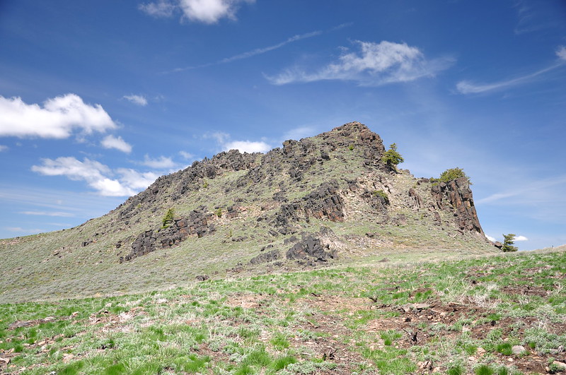
At one point I looked back and could see the lookout on Table Rock:
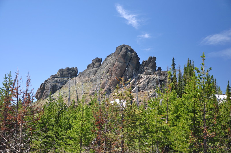
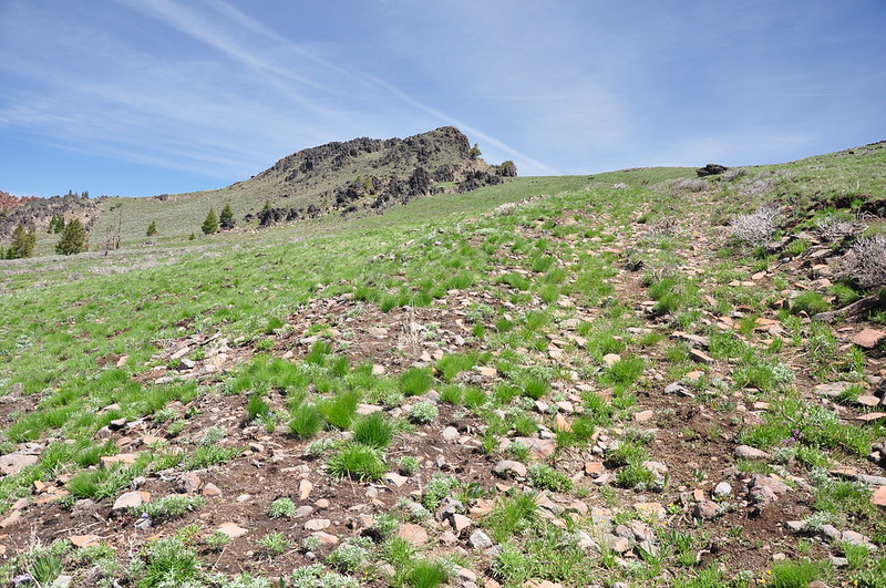
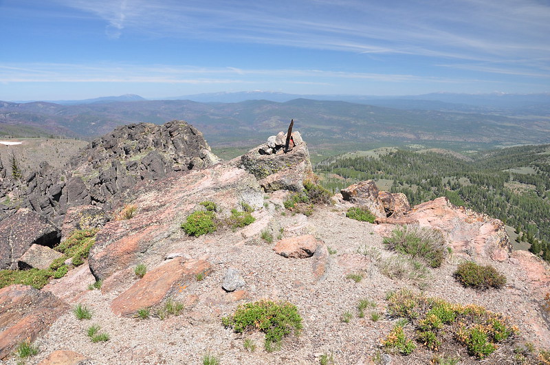
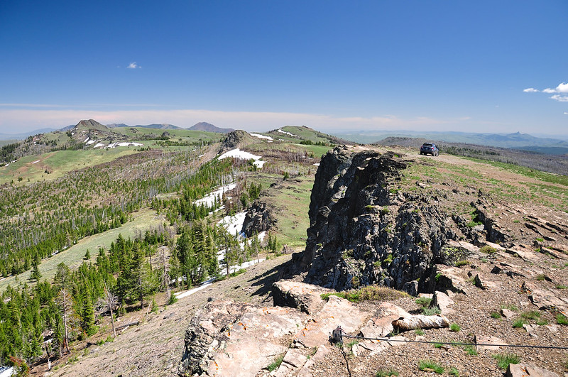
There are some neat-looking rock formations in this wilderness:
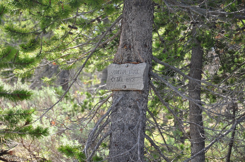
We passed a sign for the Amelia Trail, but according to the topo map that trail doesn’t intersect here. I wonder if the map is wrong or if this sign is leftover from an old trail alignment:
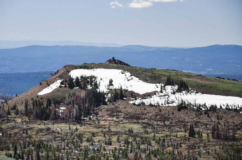
We came across a few patches of snow on the trail in a shady spot, but that was the only snow we encountered on the trail itself. Considering our high elevation, we were surprised by the lack of snow. In his Atlas of Oregon Wilderness Sullivan says “The John Day Valley funnels winter storms and summer thundershowers eastward to the mountain ridges here. As a result the area receives 40 inches annual precipitation, twice as much as the surrounding lowlands. Expect snow to block trails over 6000 feet from November to late June. Summer brings hot days and chilly nights.” Well, it was only late May and nearly all the snow was gone, which goes to show what a low snowpack this area had.
We reached this signless signpost where you can go right towards Monument Rock or left towards Bullrun Rock. We went left:
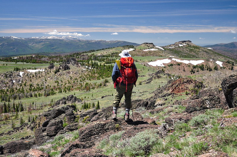
Now we were on another old track as we headed over to Bullrun Rock:
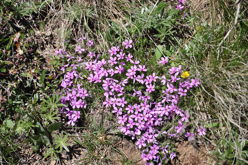
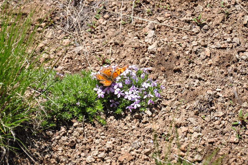
More wildflowers:
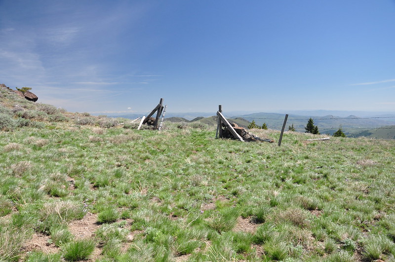
At this old fence we left the trail and started scrambling. The trail continues another four miles or so down to the Amelia Trailhead on the north side of the wilderness:
We made it to the top!
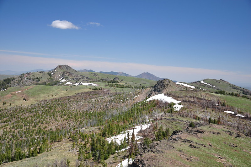
The views up here were AWESOME! 360-degree views stretching for many miles. It was amazing.
Looking north to the Eklhorns:
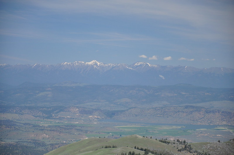
Northeast to the distant Wallowas:
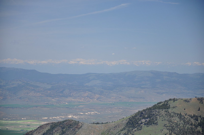
Looking southeast (obviously that area is outside of the wilderness boundary):
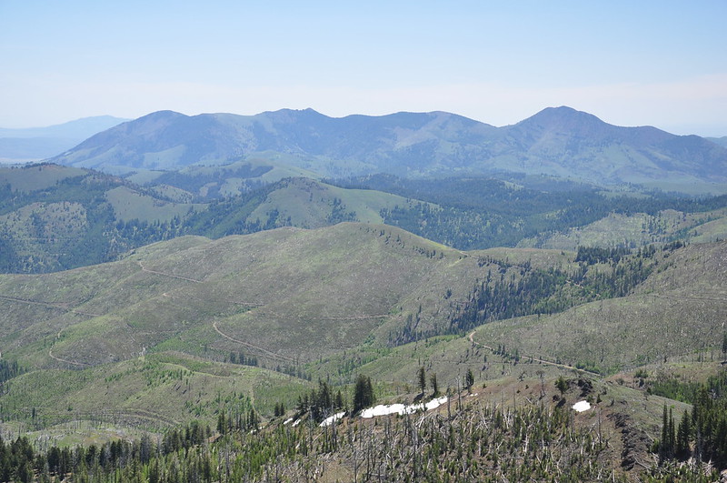
Table Rock Lookout to the northwest:
Looking south to Monument Rock:
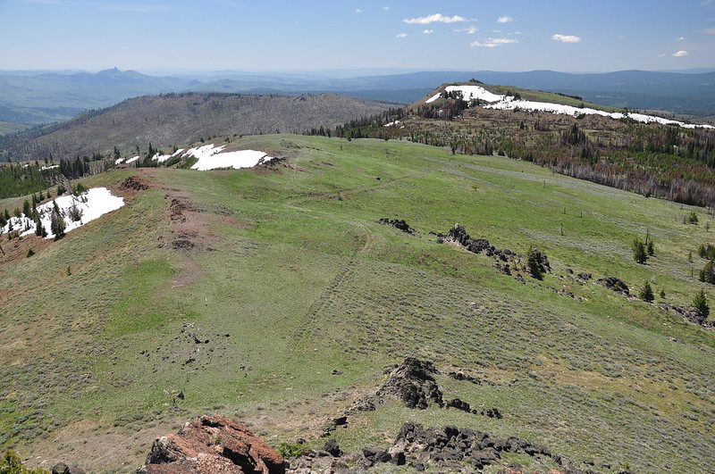
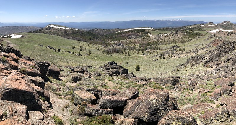
A panorama from Monument Rock to Table Rock:
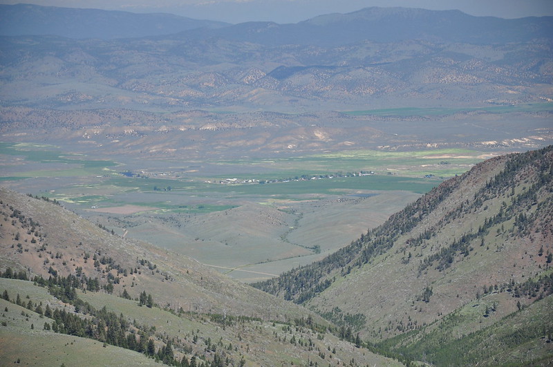
The tiny town of Unity, NNE of us:
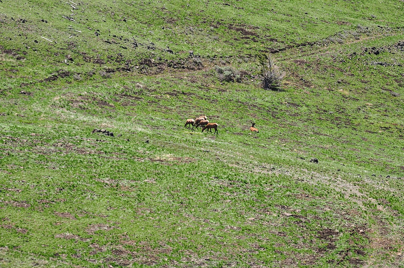
We saw some elk down near the trail we had hiked to get up here:
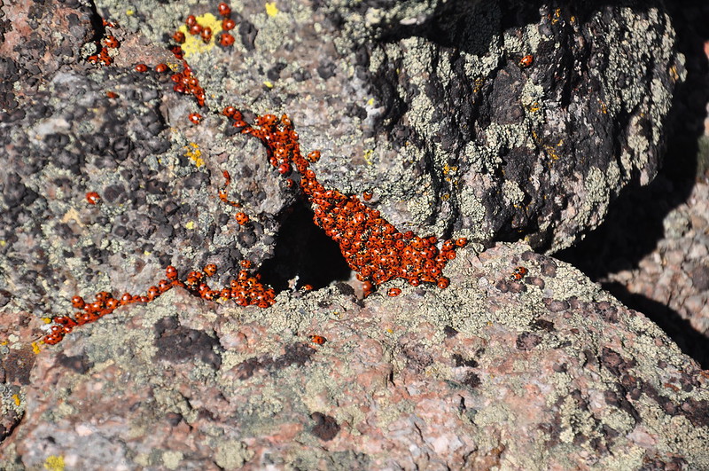
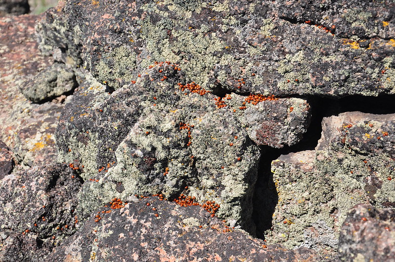
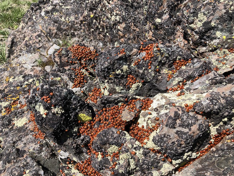
We were pleasantly surprised to see thousands of ladybugs up there:
We were NOT pleasantly surprised by the ticks, though. As I described on this thread, ticks seemed to be appearing out of thin air. There was almost no vegetation up there and we were the highest things around (in other words, there were no trees or bushes on a slope above us). We never saw ticks on what few little shrubs grew in that rocky place, but they appeared as if from nowhere on our clothing and our packs. One even appeared on Greg’s hat, which had been on his head the whole time. We saw several dozen of them in this way, yet never saw them on ourselves prior to climbing up there or after we climbed back down. It was pretty horrifying. We would have loved to linger up there a little longer, but with a new tick appearing at least once a minute, we decided to head back down. We didn’t head over to Monument Rock. The views wouldn’t be any better over there than they had been up on Bullrun, and we had to go cross-country on some snow to get up there.
Looking back at Bullrun Rock (aka Tick Rock) from the trail:
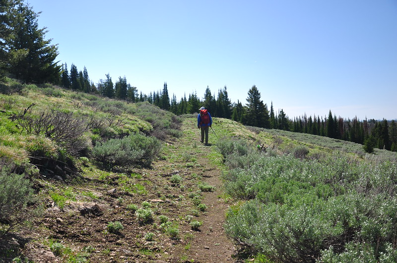
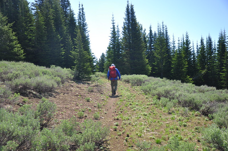
I got some nice trail shots on the way back now that the sun was at my back:
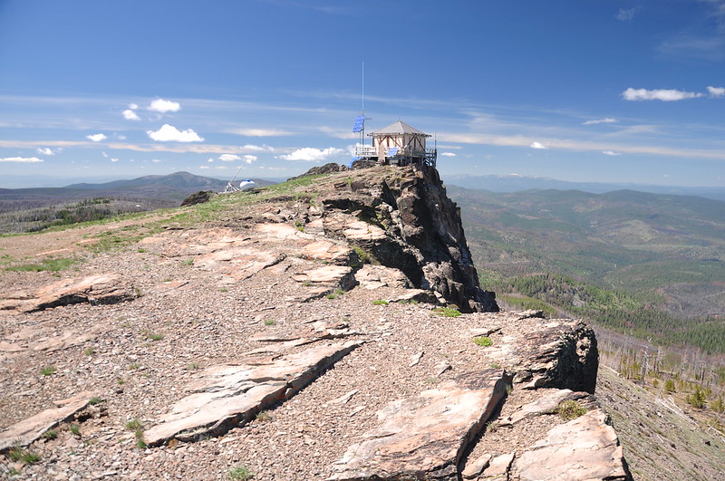
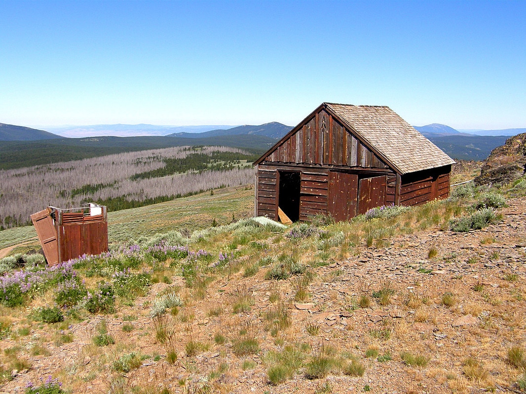
The hike ended up being 4.5 miles with about 600 feet of elevation gain. Not at all difficult, even with the scramble up the rock. Before driving back we drove to the end of the road to visit the lookout. It was built in 1937 and is staffed in the summer:
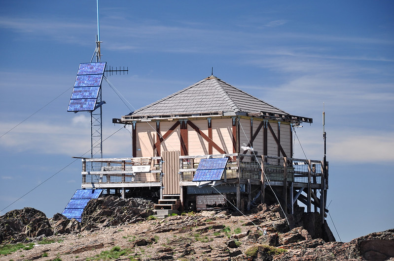
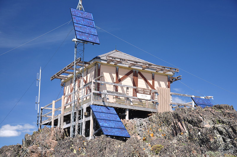
The Rail Fire came up here. They had to wrap the lookout and the outhouse to save them (I wrote about it on my lookout blog at the time), which you can see in these photos:
The news reported that the outhouse burned down, but it was actually this old garage and the old not-in-use outhouse, pictured here in 2008 and 2013:
Ron Kemnow

Geocaching user deulist
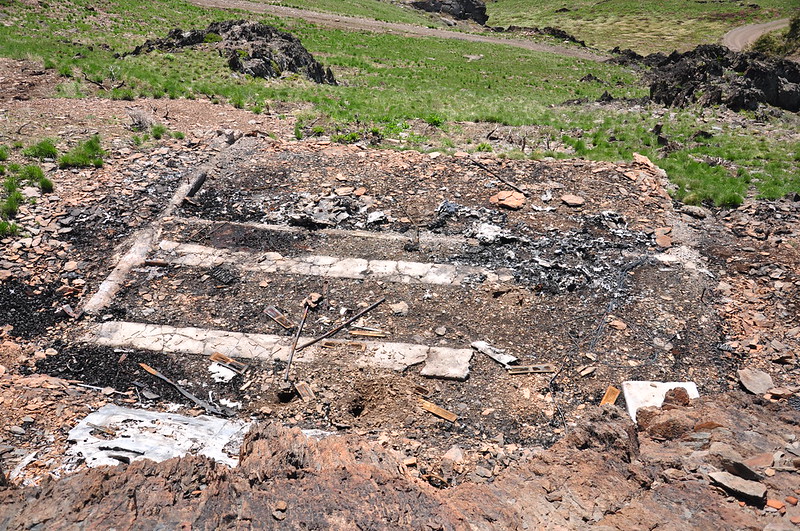
The garage foundation now:
We had a great view looking out over the territory we’d just covered today. That’s Bullrun Rock on the left and Monument Rock at far right:
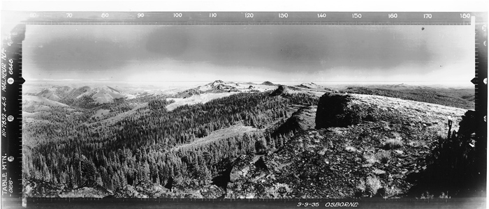
This might be the coolest shot I’ve ever gotten of our Subraru.
Here’s that same shot (without the car) in 1935
More ladybugs:
It was CRAZY windy up there, or we would have stayed longer enjoying the views. That might be the most exposed lookout site I’ve ever visited.
Great day with beautiful views and no people! It was fun exploring a new area and I hope we can go back someday and see more.
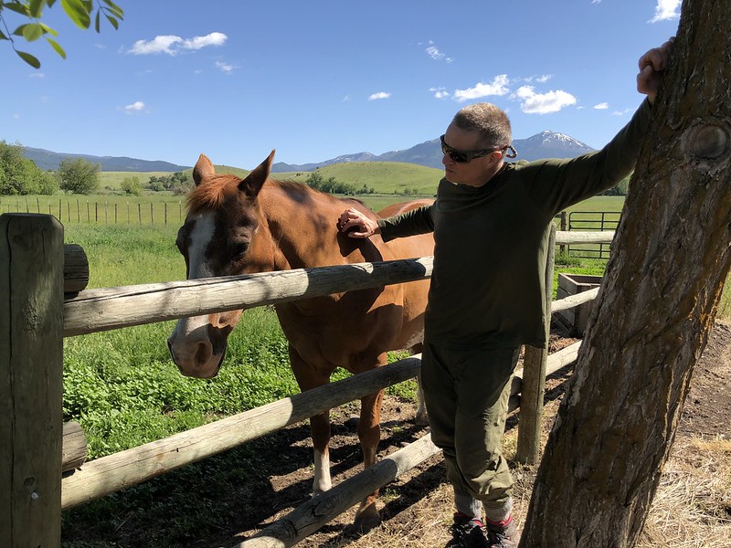
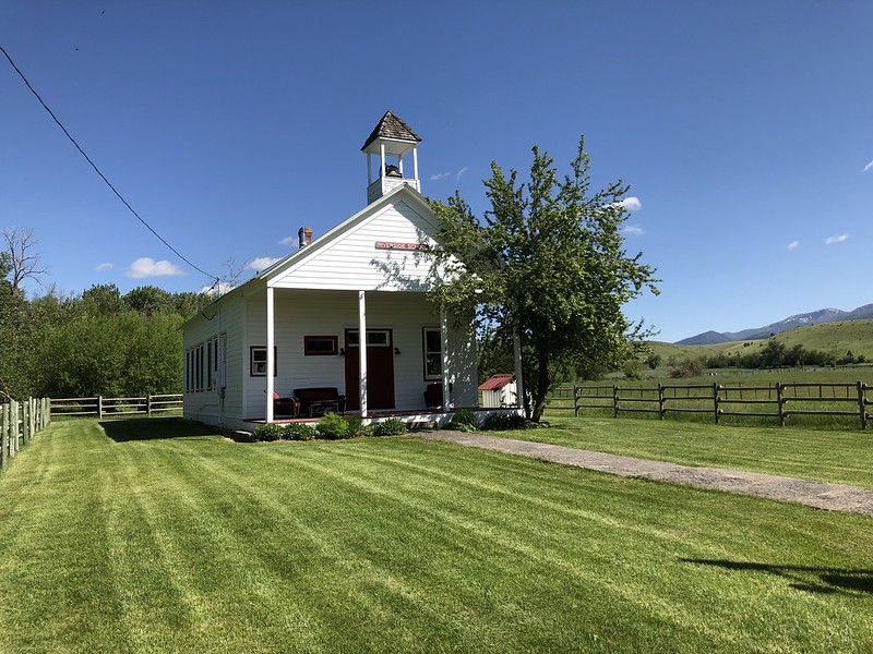
We drove through Prairie City on our way back and passed the beautiful old Riverside Schoolhouse that has been converted to a B&B. Would love to stay here next time we visit!
There was a friendly horse right next to the place: