We spent 4th of July weekend in southern Oregon doing some exploring and hiking. On Saturday, July 1 we explored a section of the Pacific Crest Trail at Mt. Ashland. The PCT traverses the southern slope of Mt. Ashland, more or less parallel to Road 20. There is a nice hike you can do from one TH to another, then back again. It passes through meadows and has great views, plus it’s pretty level. Later in the day we hiked up to the summit of Mt. Ashland for sunset.
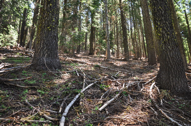
The trail starts off in a forest that appears overdue for a wildfire, with much fuel laying around on the ground:
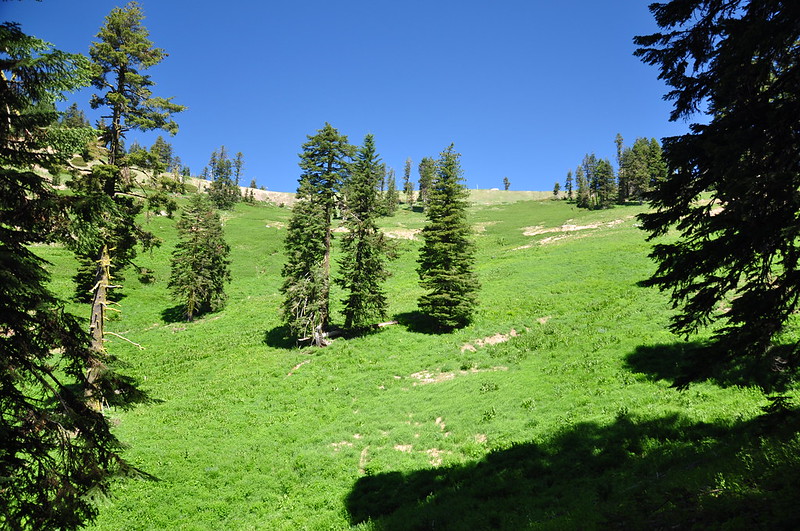
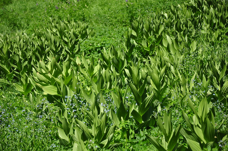
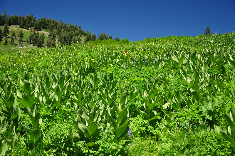
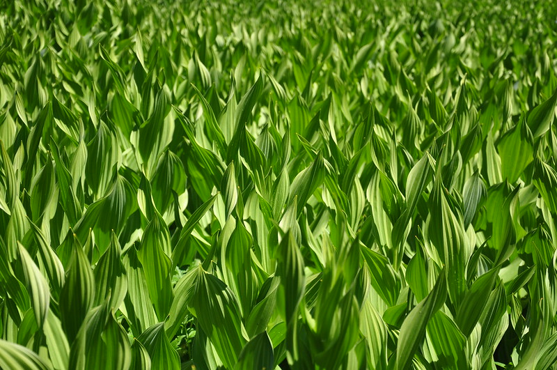
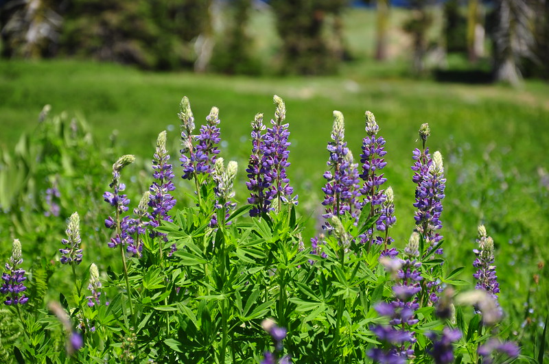
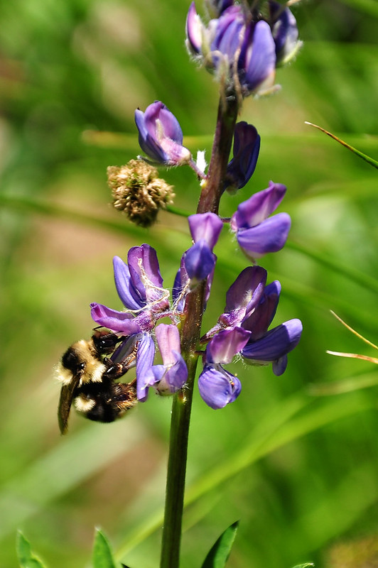
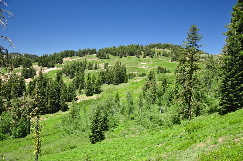
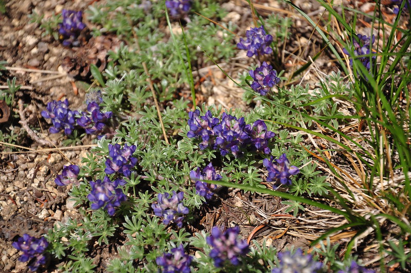
Then the trail enters into the first of many meadows. It was incredibly lush, but we were a tad early for wildflowers. We saw lots of lupine plants, but only a few lupine blooms. We saw LOTS of false hellebore.
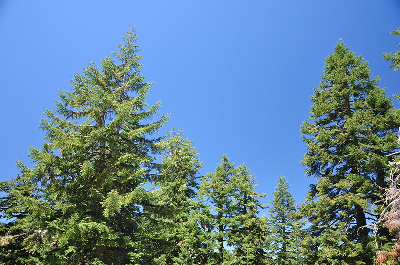
It was a GORGEOUS day, with clear blue skies and beautiful green trees. 😀
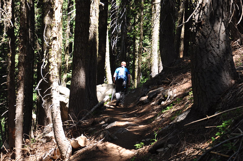
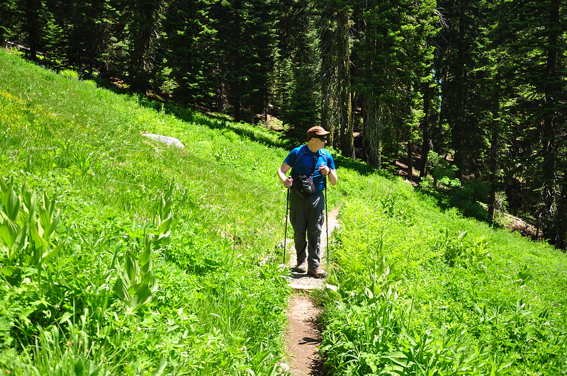
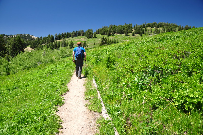
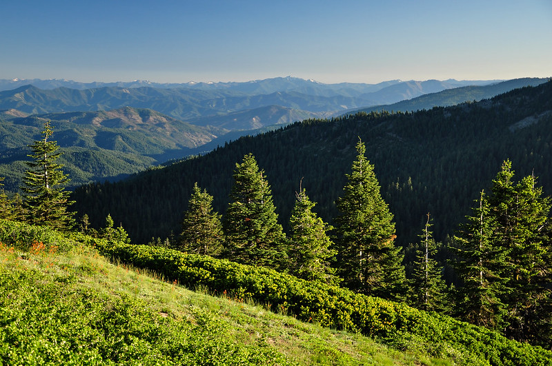
The trail continues on, going in and out of forests and meadows, with the occasional views:
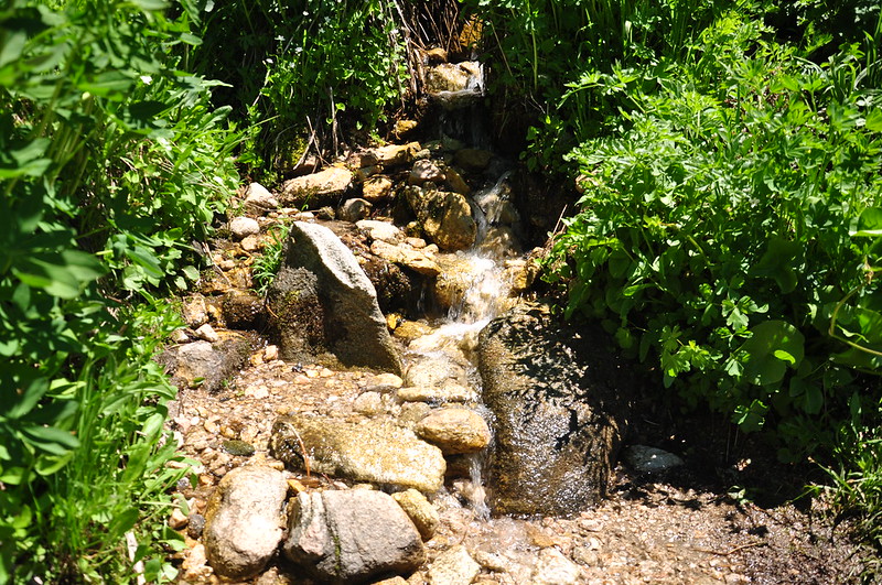
A number of little seasonal streams cross the trail. I love little streams like this; they sound so pleasant. 😀
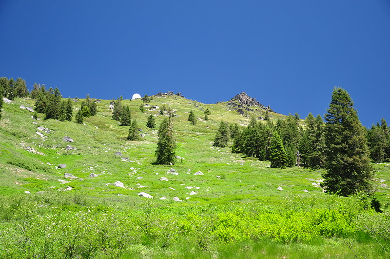
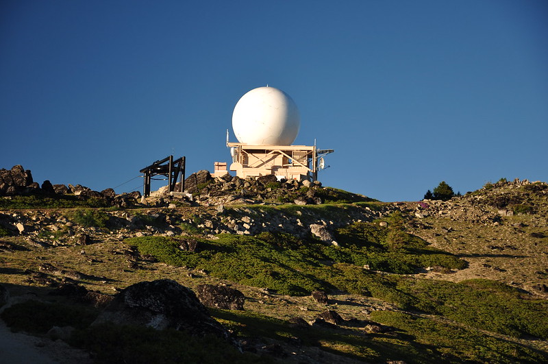
We passed beneath the summit of Mt. Ashland, with the ugly white orb of its weather station coming into view:
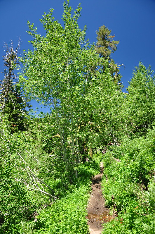
The trail passes through a stand of aspen trees:
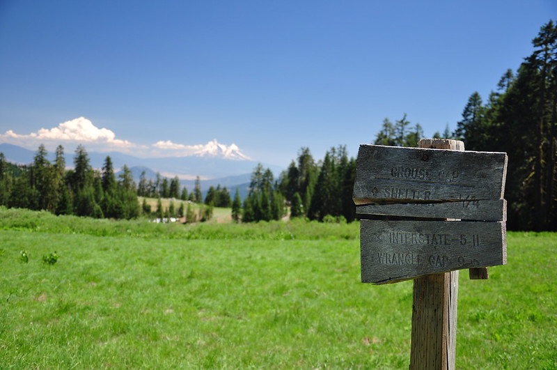
After about three miles of hiking, the road and the trail meet back up again at a spot called Grouse Gap. We sat in the shade and enjoyed the view:
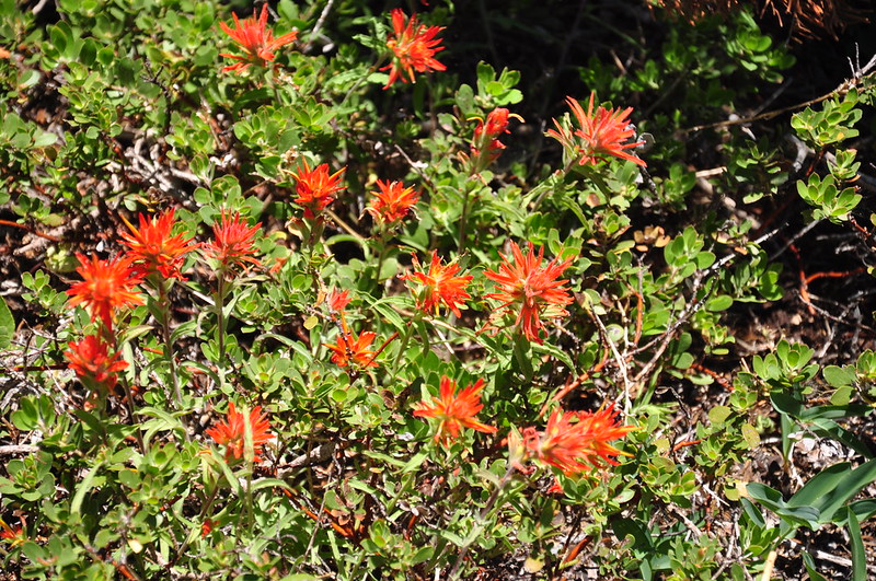
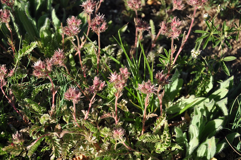
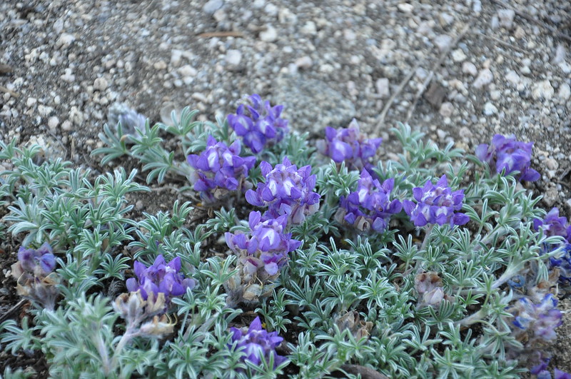
Saw this tiny low-growing purple flower:
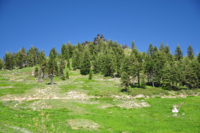
On the way back we passed beneath a feature known as the Rabbit Ears. I can see why it’s called that!
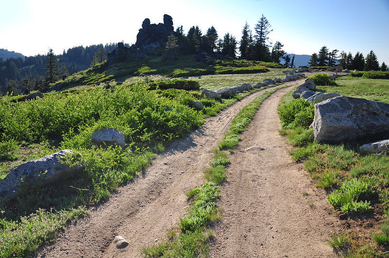
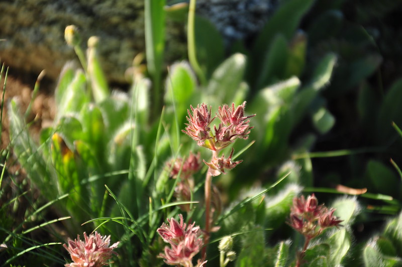
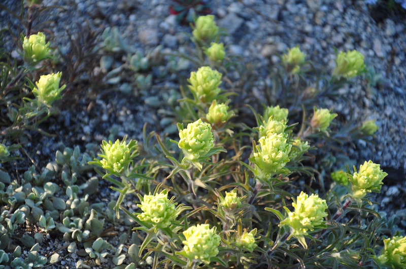
Later in the evening we went up to the summit of Mt. Ashland. On the way up we stopped at the base of the Rabbit Ears where we saw some unique wildflowers:
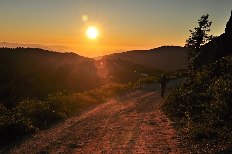
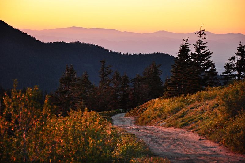
The evening light was SUBLIME:
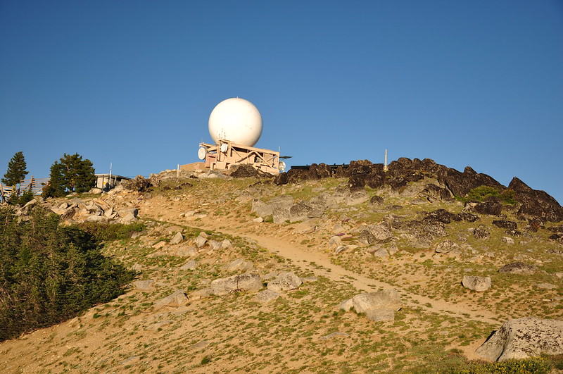
Up at the top we got an up-close view of the ugly weather station:
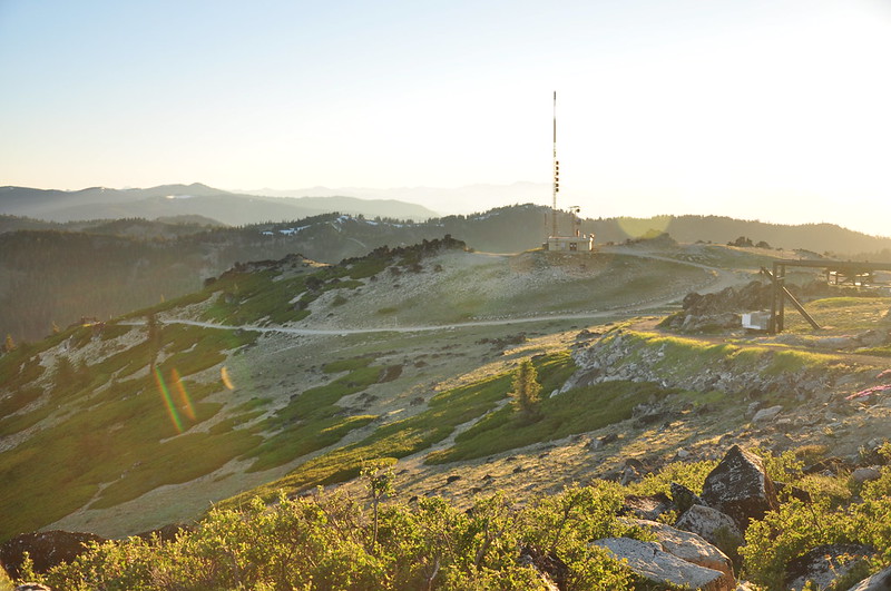
And the radio tower:
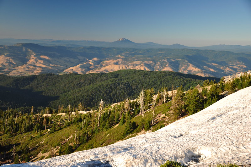
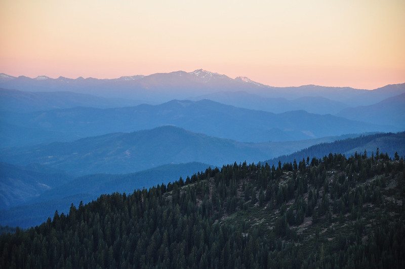
Mt. McLoughlin:
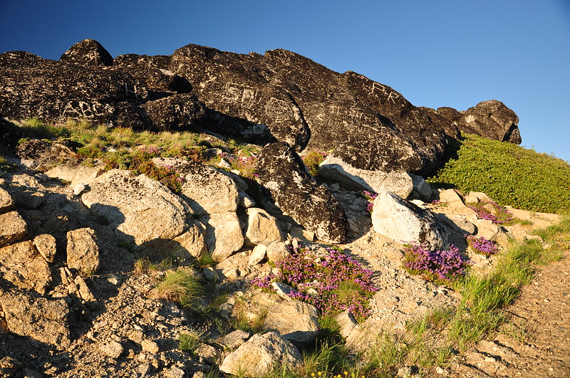
The rocks are covered in graffiti from people carving their names and initials into the lichen. 😡
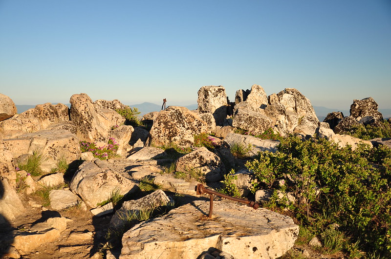
Next to the weather station is the rocky true summit of the mountain, at 7,532′, where a lookout once stood. It was VERY windy up here:
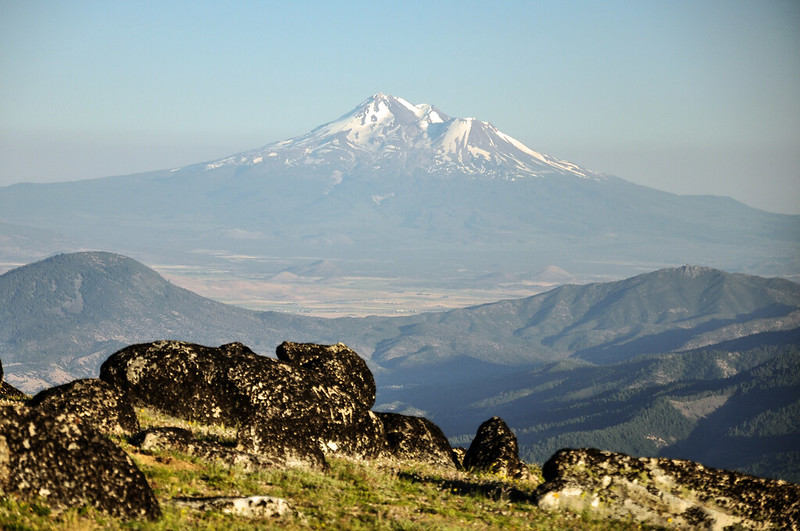
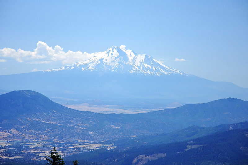
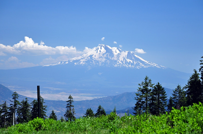
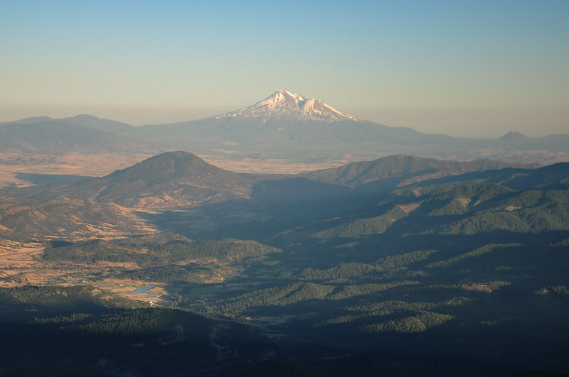
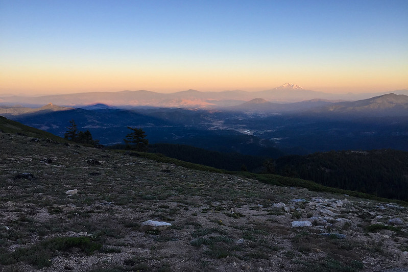
Mt. Shasta again:
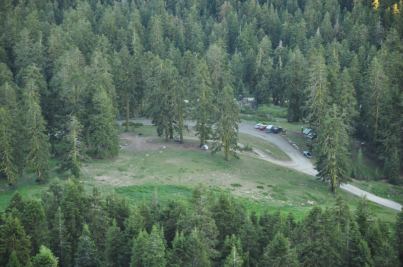
We looked down and saw our campground and our tent, which was cool:
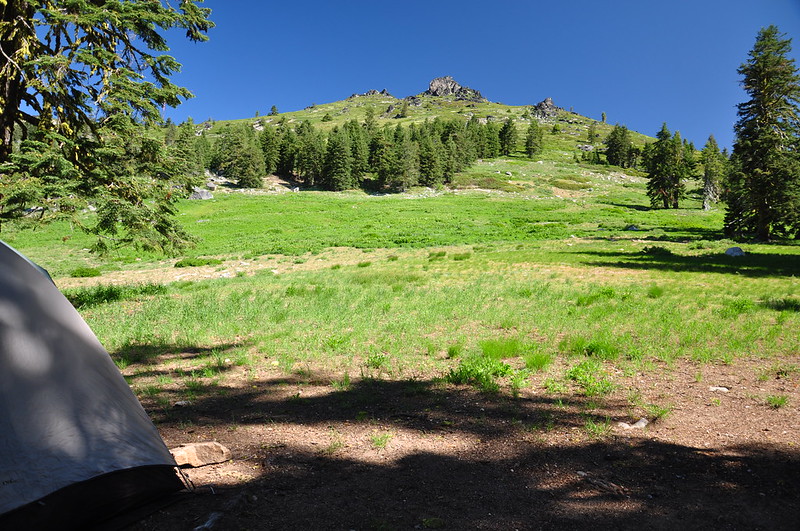
Here’s the view looking up from our campsite earlier in the day:
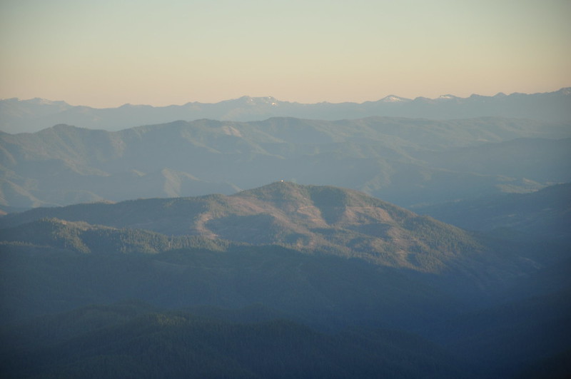
The white speck in the middle is the lookout on Dutchman Peak. We thought we were going there the next day, but Mother Nature had other ideas.
The next morning, on the way to the Dutchman Peak area. Drat!
See the shadow of Mt. Ashland on the left? Cool!
Fabulous light on the hike back down:
Great area, and very pretty! We hope to go back someday during peak bloom.


