After a cold but dry night at Fifteenmile Campground Saturday night, Greg and I headed over to the Boulder Lake Trailhead yesterday morning for a loop hike.
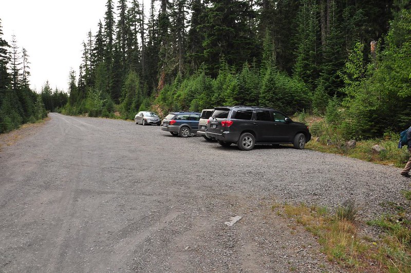
There were three other cars at the trailhead, which has a nice big gravel parking area.
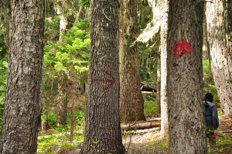
On the short bit of trail between the TH and Boulder Lake we noticed these red marks and arrows painted on the trees. My best guess is someone (not the Forest Service) marking this trail for winter travel.
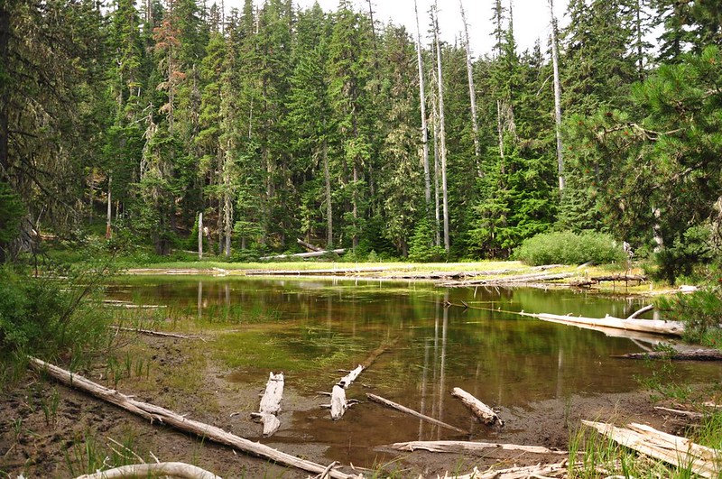
Spinning Lake, just a shallow little pond:
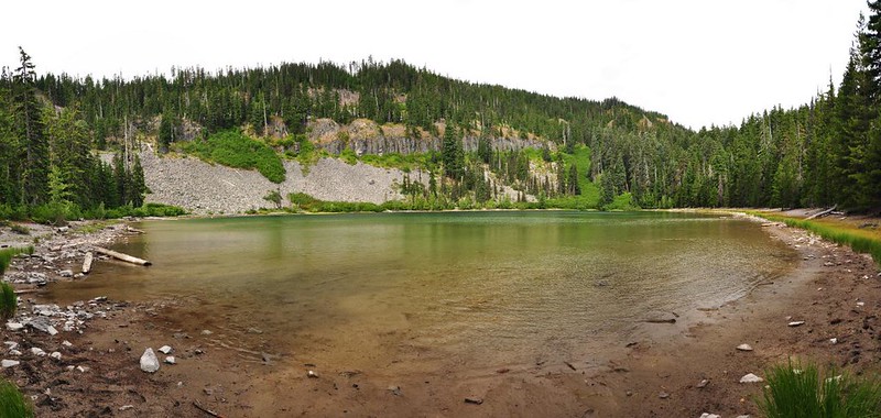
We soon reached Boulder Lake, which was quiet and peaceful. Based on the NUMEROUS fire rings and campsites we saw at the lake, I’m betting this is not a quiet place to be on a Saturday night.
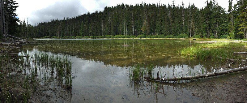
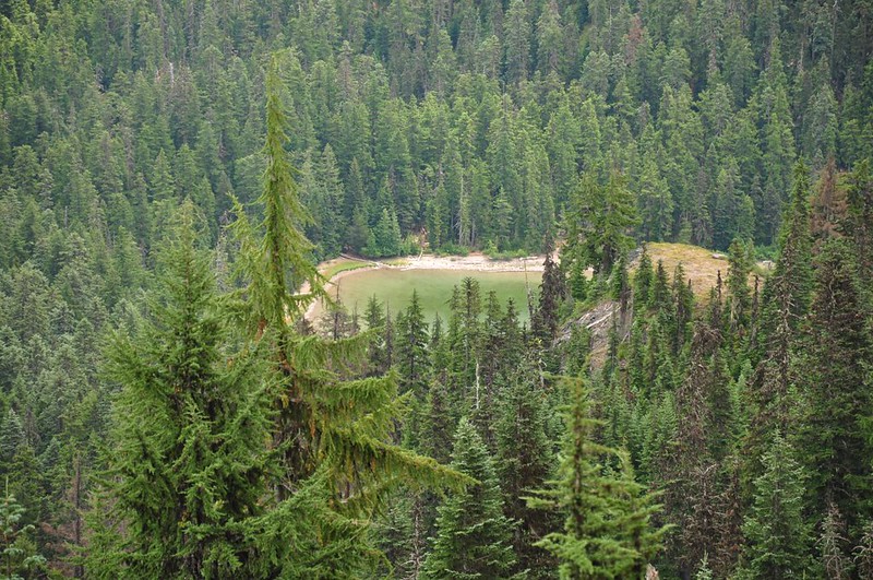
A little ways down the trail is Little Boulder Lake:
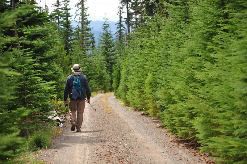
Just after that lake you pop out onto Road 123 for a bit of road hiking. But it’s less than a mile and it’s not bad at all. We saw footprints, bicycle tracks, and vehicle tracks in the road dust, but had the entire route to ourselves.
After picking up the trail again we passed through several recovering clearcuts. Every single one showed evidence of a spectacular beargrass bloom earlier this summer. That must have been a sight to see!
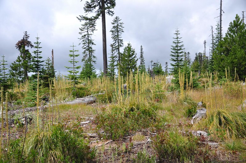
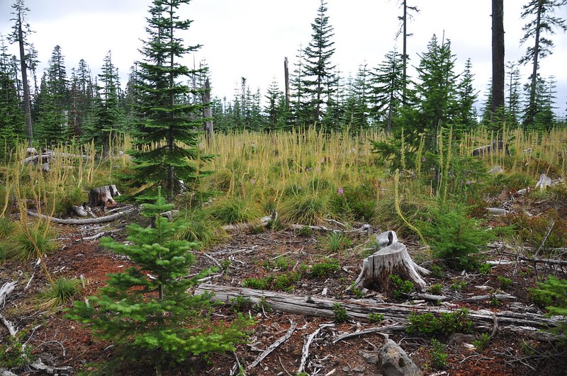
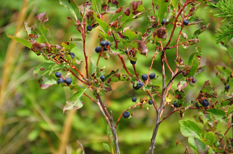
This stretch also had huckleberries. Millions of them. I kid you not. We thought we’d seen a lot of huckleberries on the Fret Creek Trail the day before, but the berries were even more profuse on this trail. It was crazy!
We reached a nice viewpoint looking out to Grasshopper Point and down on Little Boulder Lake. We sat here and had a snack, taking layers off and on as the warm sun repeatedly came out from behind the clouds and then disappeared again, leaving us shivering.
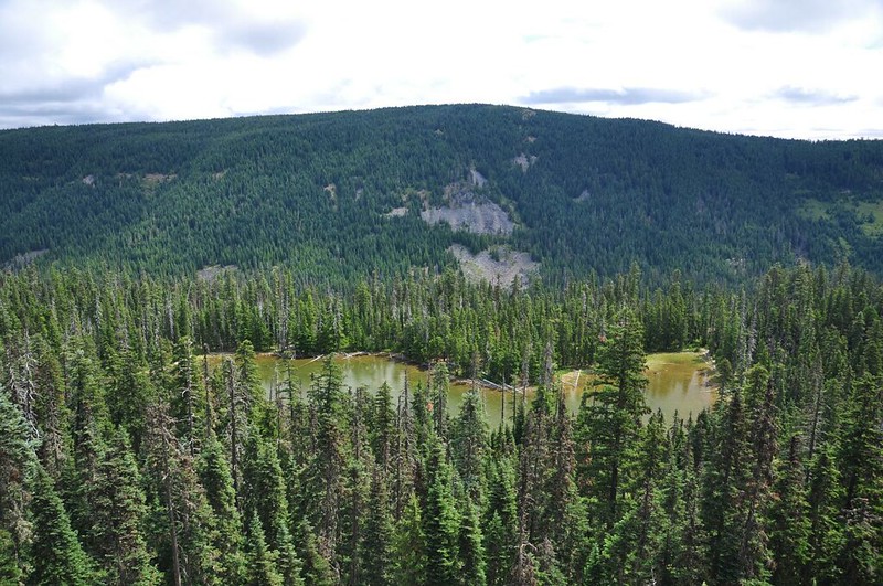
We could also see down the canyon into the dry territory of central Oregon.
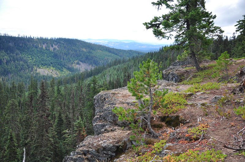
Further down the trail is Echo Point, where we had a nice view of Gunsight Butte (dead center), Lookout Mountain (a little more to the right), and Badger Peak (in the foreground on the right).
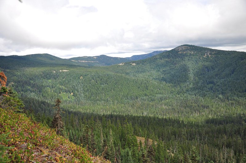
We could also see a bit of Boulder Lake from Echo Point.
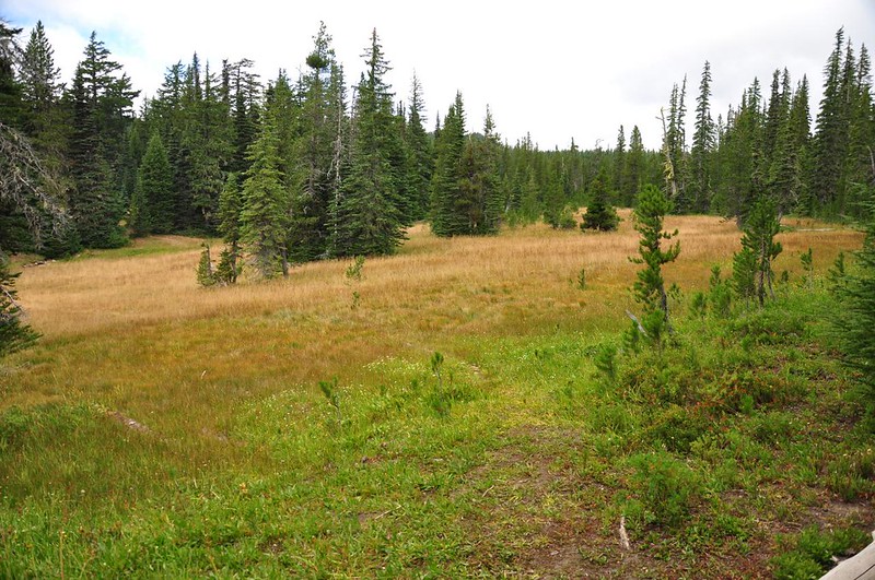
The trail dropped down to dried-out Bonney Meadows.
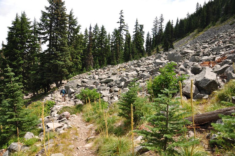
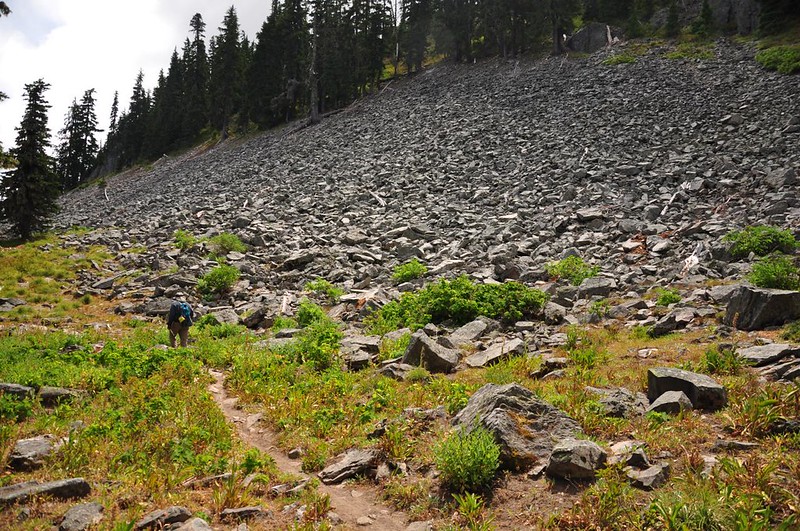
After popping into the campground to use the toilet, we descended down, down, down back to Boulder Lake. This section is steep in places. It’s definitely better to do this loop clockwise like we did. Towards the bottom we passed beneath the HUGE rockslides made up of the HUGE boulders from which the lake gets its name.
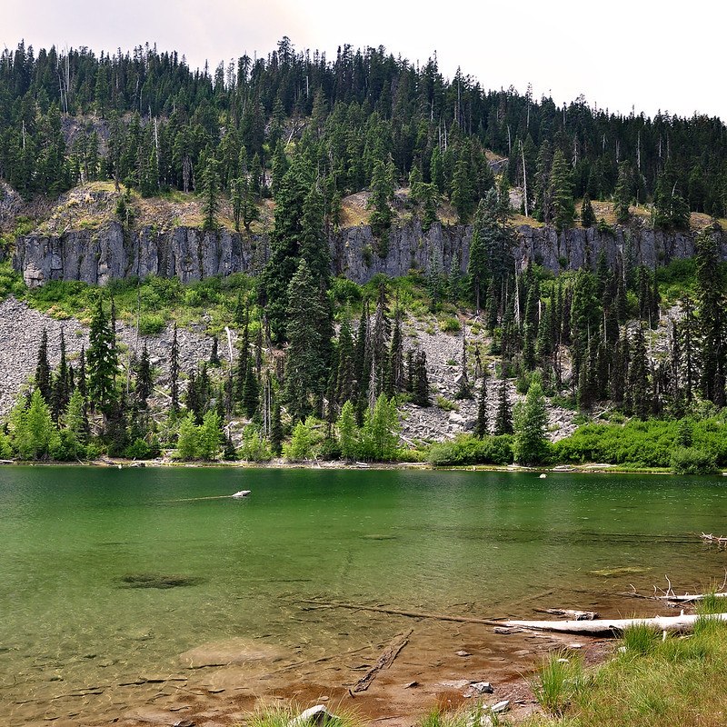
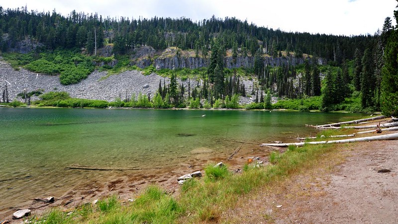
And then we were back at Boulder Lake, with it’s lovely aquamarine water.
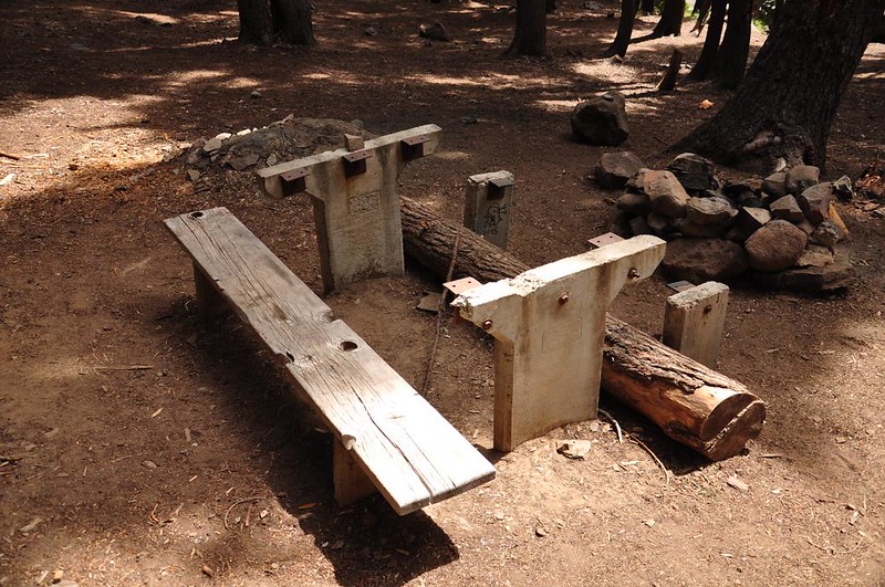
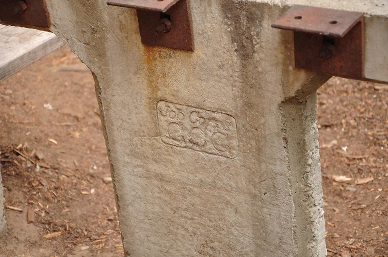
We saw this old CCC-era picnic table missing its table top and one of the benches. No doubt it was hacked up for firewood long ago. What a shame.
A short jaunt down the trail and we were back at the car. We were pleasantly surprised by this lovely loop. We expected to find signs of this trail being neglected and forgotten but that turned out to be far from reality. We saw numerous instances of recent trail maintenance.
And there were lots of signs!
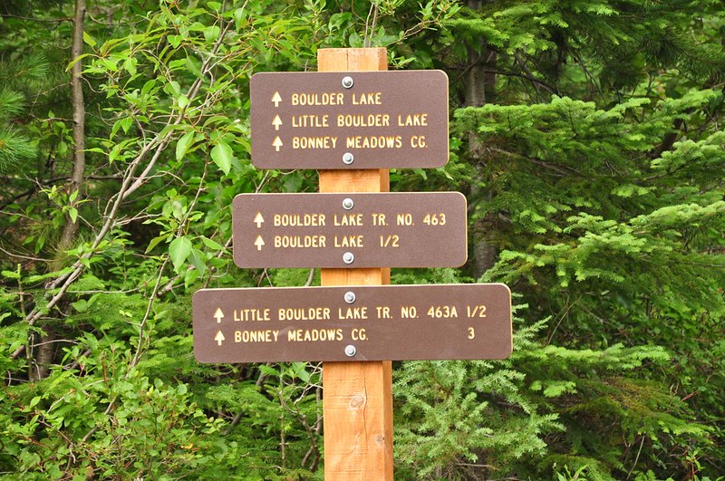
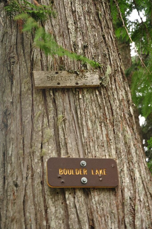
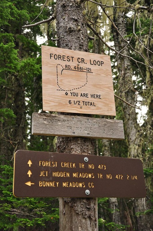
There must be a pro-recreation pro-sign employee working for the Barlow Ranger District. Thank you, whoever you are!
If you’re interested in doing this loop yourself, you’ll find a very detailed hike description in the Oregon Hikers Field Guide.


