Greg and I took a five day weekend to hang out in beautiful Vancouver, BC and while we were there we did a hike on the North Shore. We chose the trail to the summit of Mount Seymour in Mount Seymour Provincial Park.
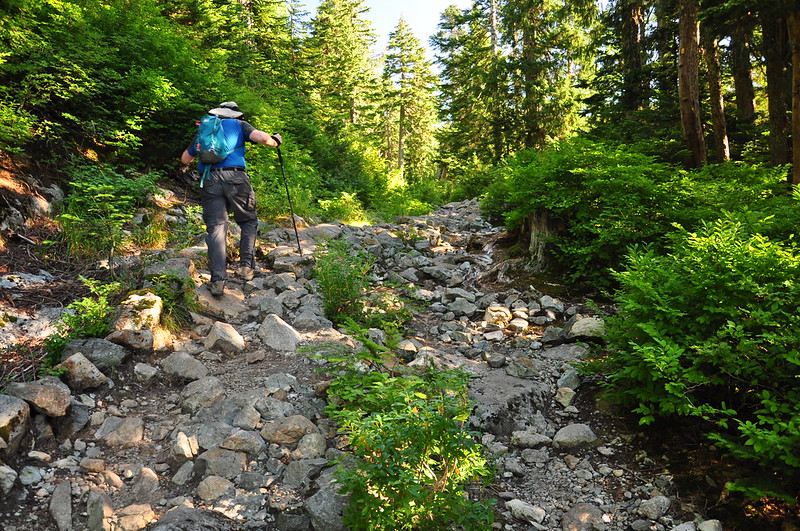
The parking lot at the trailhead is HUGE because this is a ski area in winter. You can hike up the ski run (ugly) or the trail, and we chose the trail, which we quickly realized was a bad idea. “Trail” is actually too generous a term for what we were on.
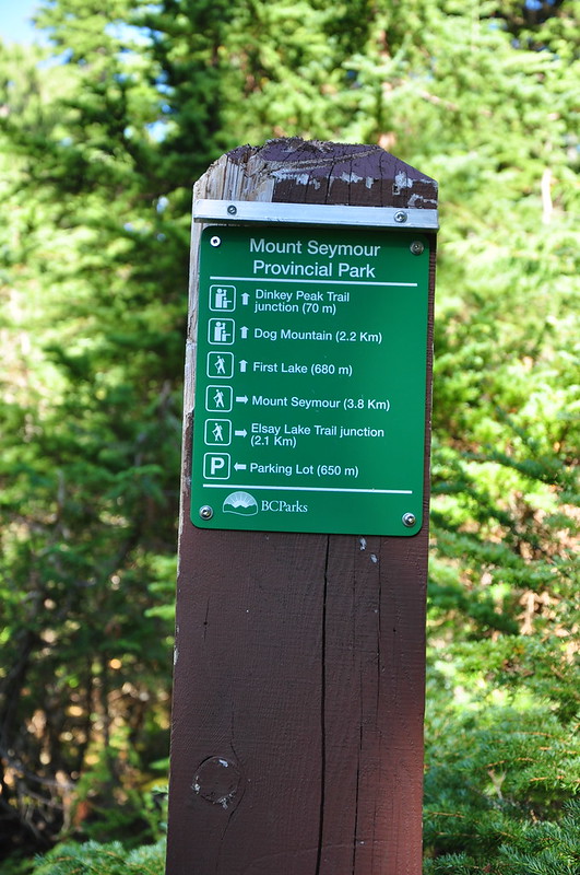
The trails are utter crap, but the signage is great!
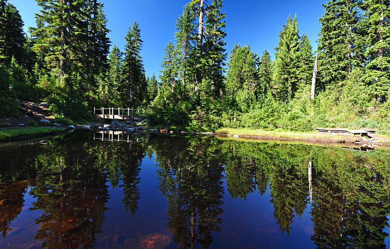
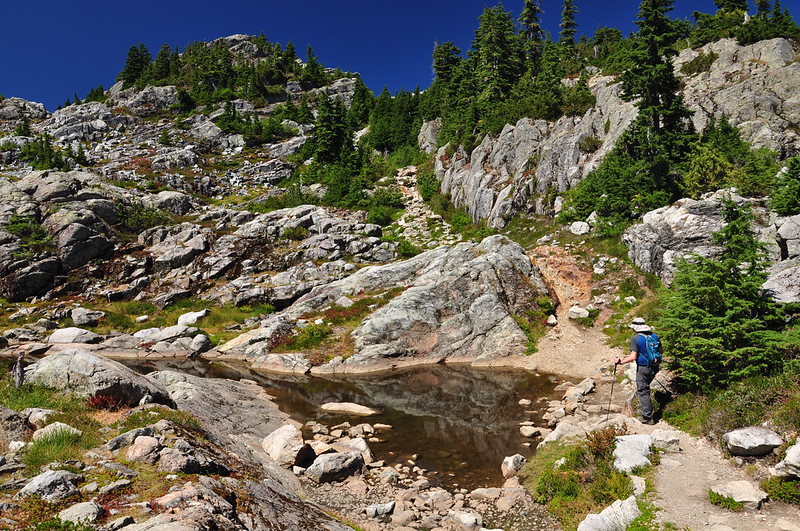
We took a short detour over to the lamely-named First Lake. It’s just a shallow little pond, but was surprisingly pretty.
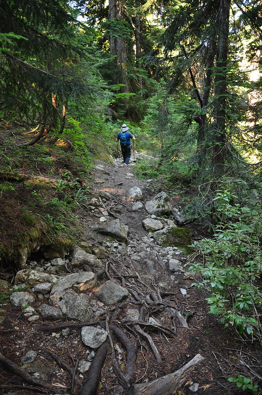
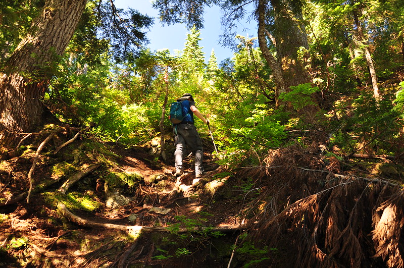
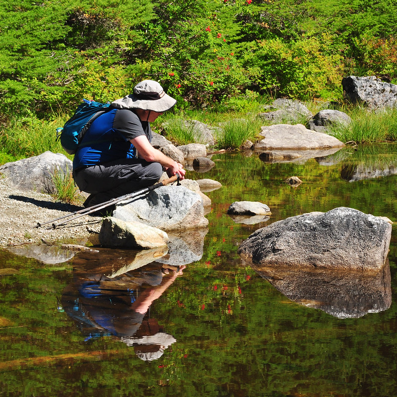
Back on the main trail, Greg wanted to take another detour to hike a shot section of the Suicide Bluffs Trail to a viewpoint with a geocache. This turned out to be a mistake since we wasted time and effort we could have used later. More scrambling on rough trail:
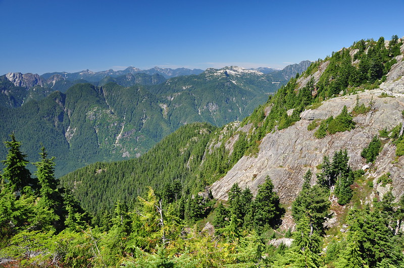
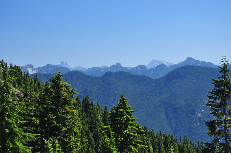
From the viewpoint we could see some mountains, but it was nothing compared to what we’d see later.
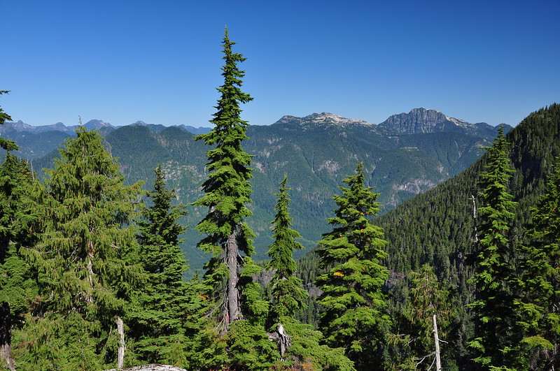
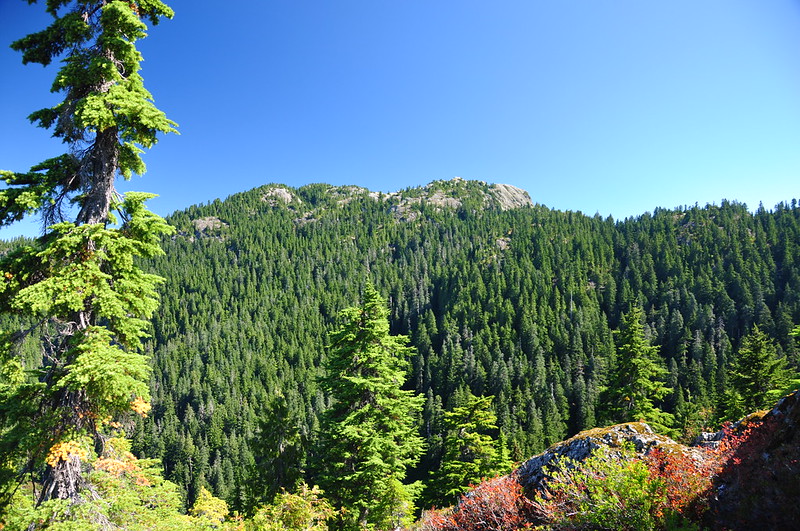
We could also see our destination: Mount Seymour.
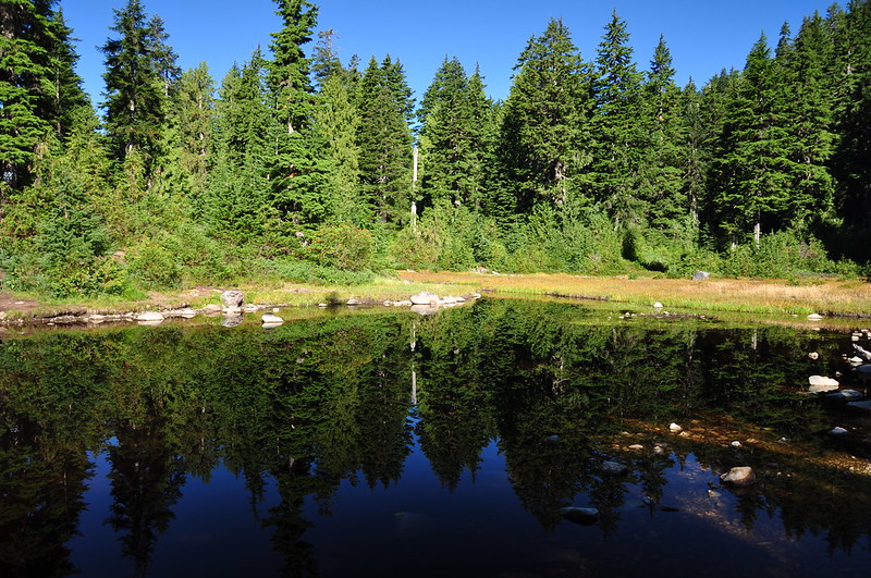
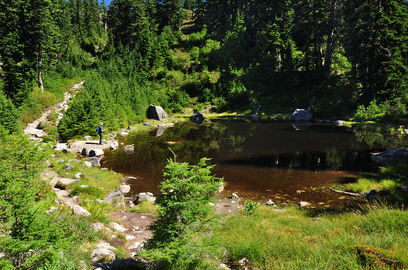
Back on the main trail we paused at Sugar Bowl Pond.
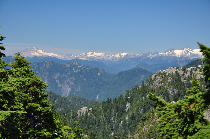
More climbing/scrambling, and we started getting tantalizing views of the mountains around us, including Mt. Baker.
The trail did not improve:
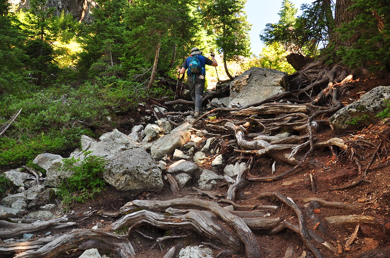
At one point Greg said “I can’t decide if this is really hard hiking or really easy mountain-climbing.” Later I decided what we were doing was “boulder navigation.”
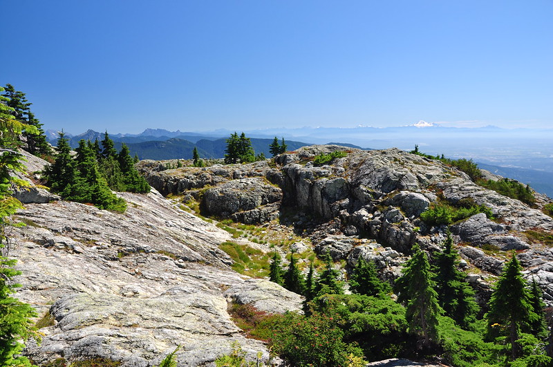
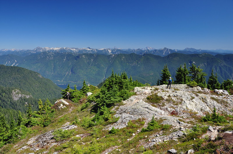
We broke out of the trees and into the alpine, which was quite gorgeous, although very hot (it was cooler in the Vancouver area than it was in Portland, which was hovering around 100, but still PLENTY hot).
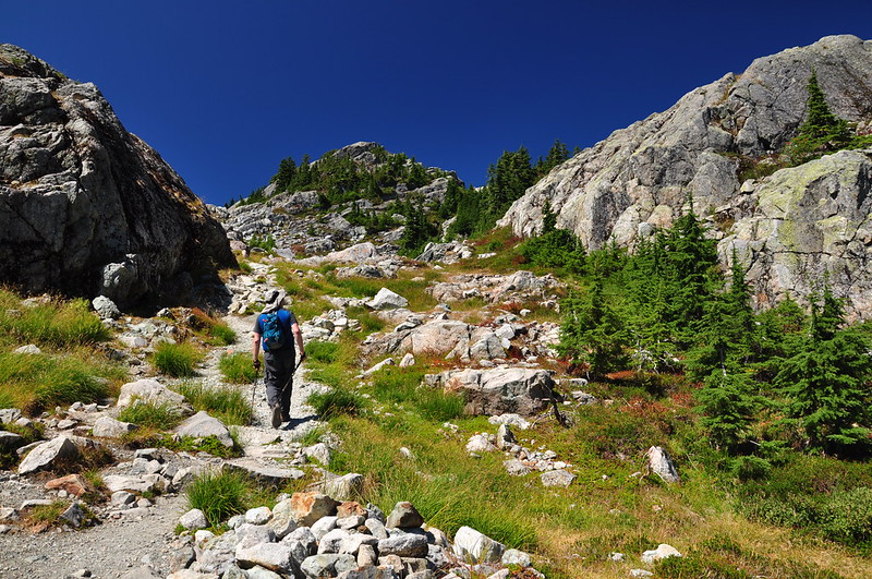
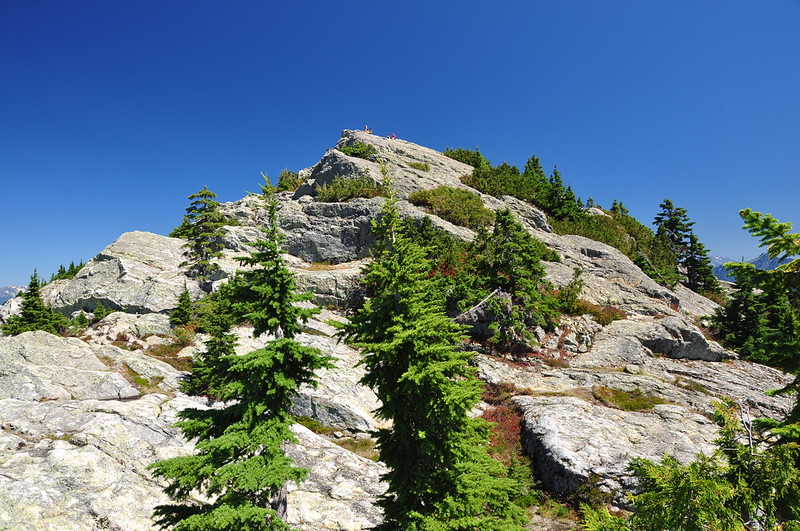
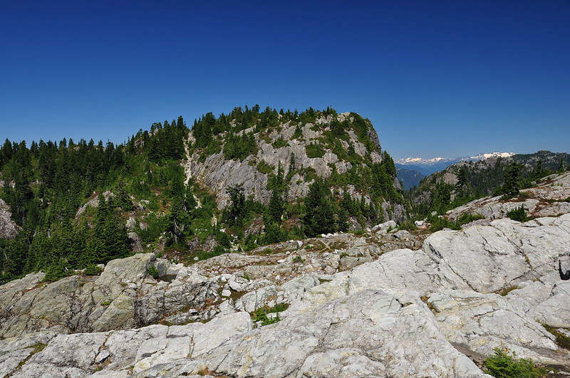
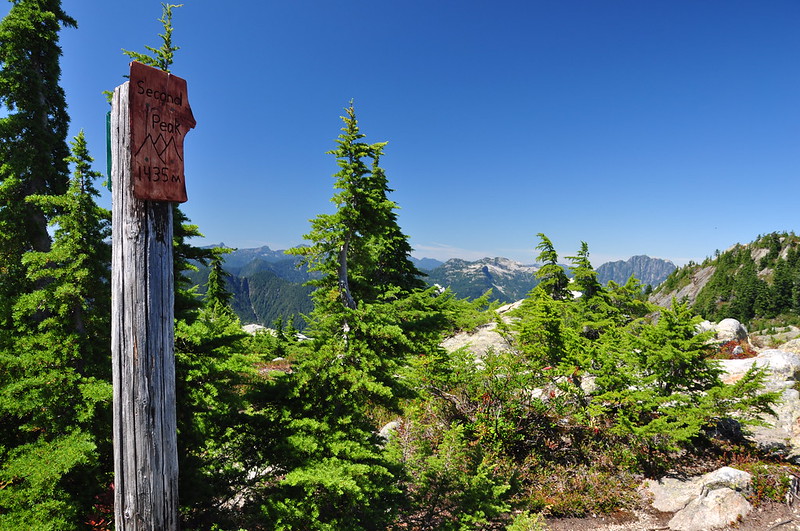
Mount Seymour consists of three bumps known as First Peak, Second Peak, and Third Peak. We reached the base of First Peak, but didn’t have the energy to climb it.
But there still plenty of views without going up there.
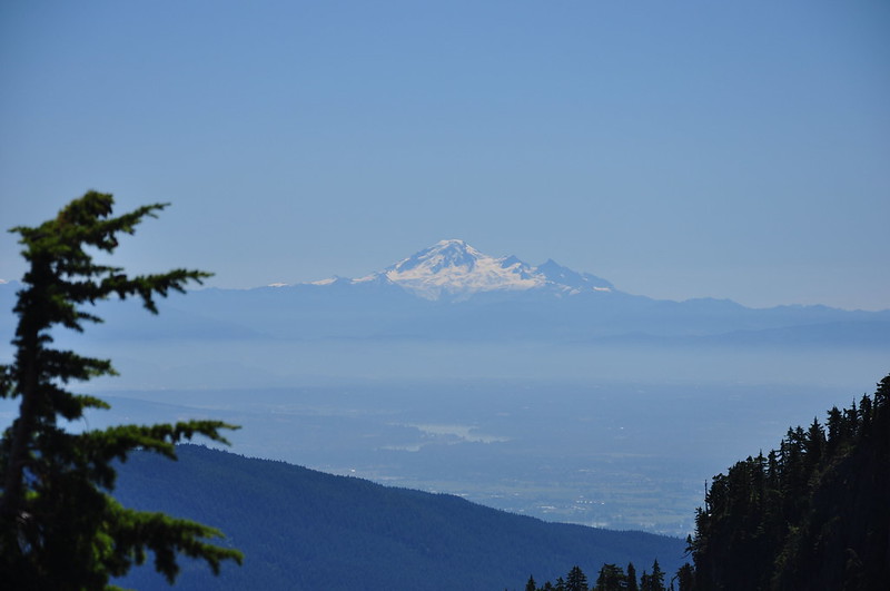
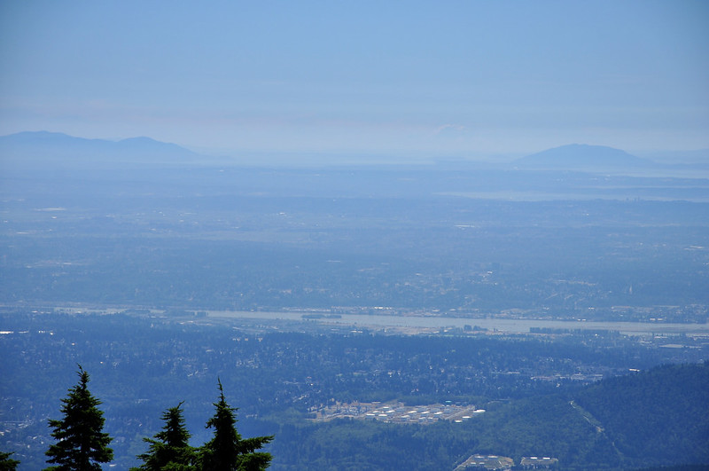
It’s kind of hard to see, but right of center is a white “blob” in the sky. Distant Mt. Rainier!
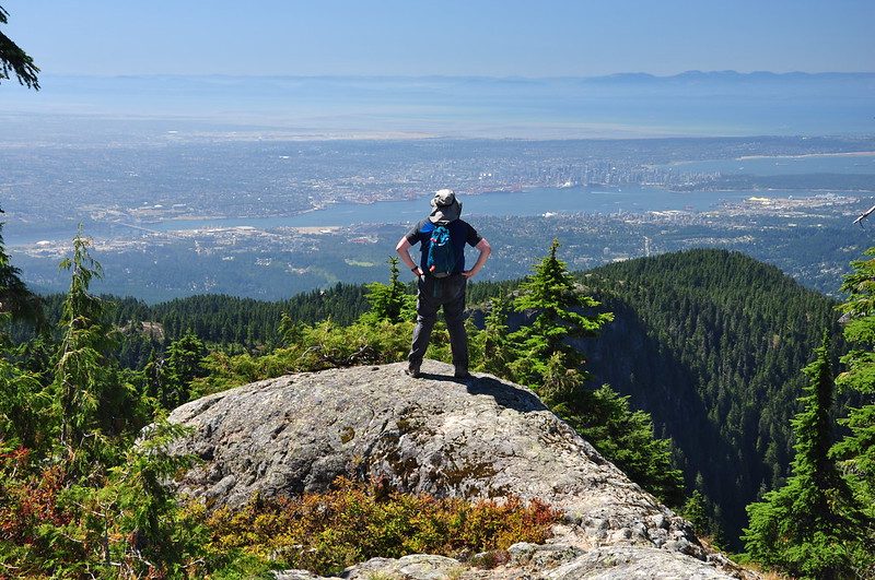
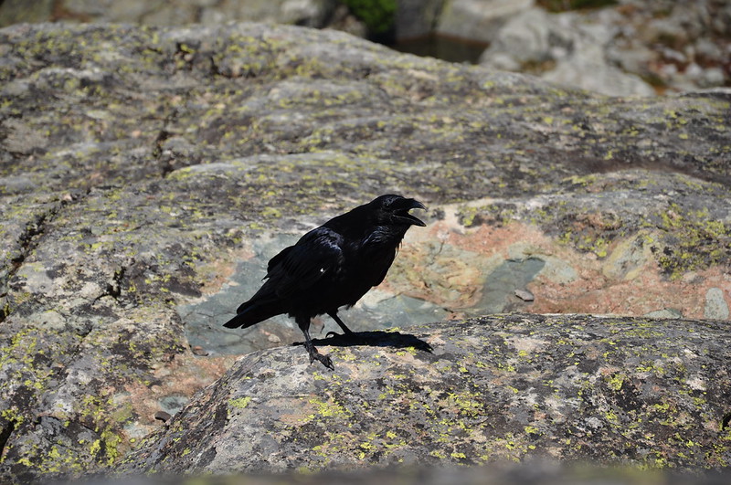
Greg was off hunting for a geocache while I enjoyed the views alone. Alone except for this guy, that is.
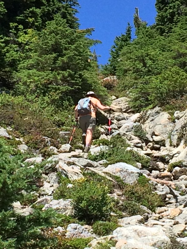
We were meeting friends for dinner and were worried about afternoon traffic. We didn’t think we had time to go to Third Peak, so we decided we’d make Second Peak our turn-around destination. See that light-colored gully going up it? That’s the “trail”.
Greg got this shot of me scrambling up it.
Looking back at First Peak from the chute:
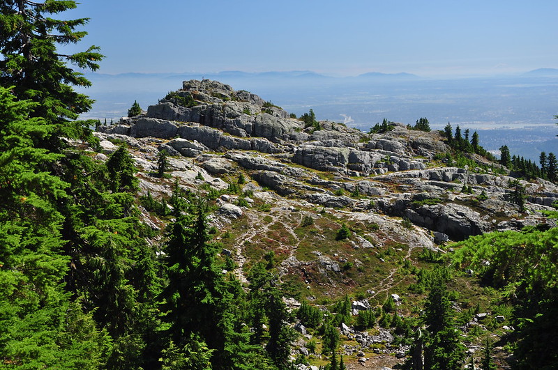
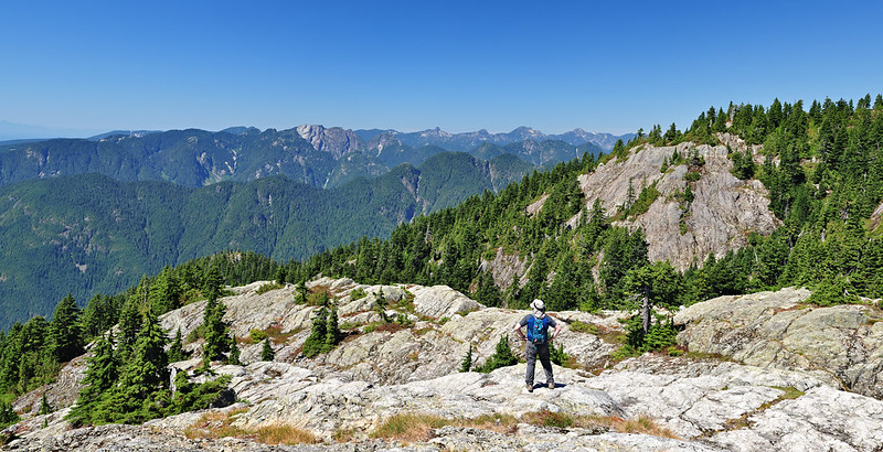
Finally, Second Peak!
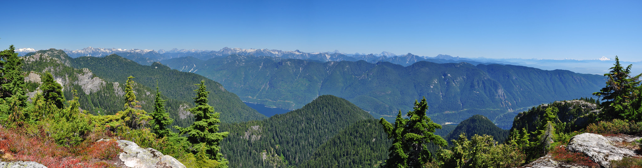
The views were nothing short of AWESOME. Mountains, mountains, mountains as far as the eye could see. Looking east:
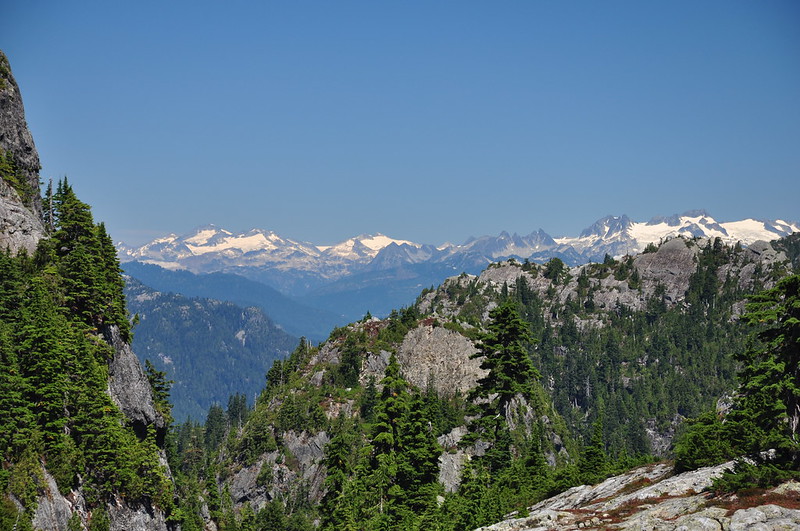
Snowy Coast Mountains to the north:
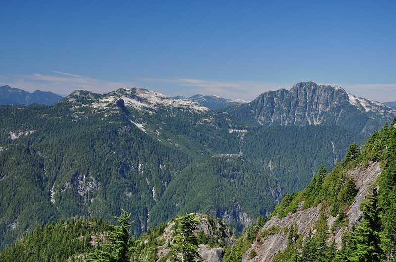
Coliseum Mountain just to the northwest:
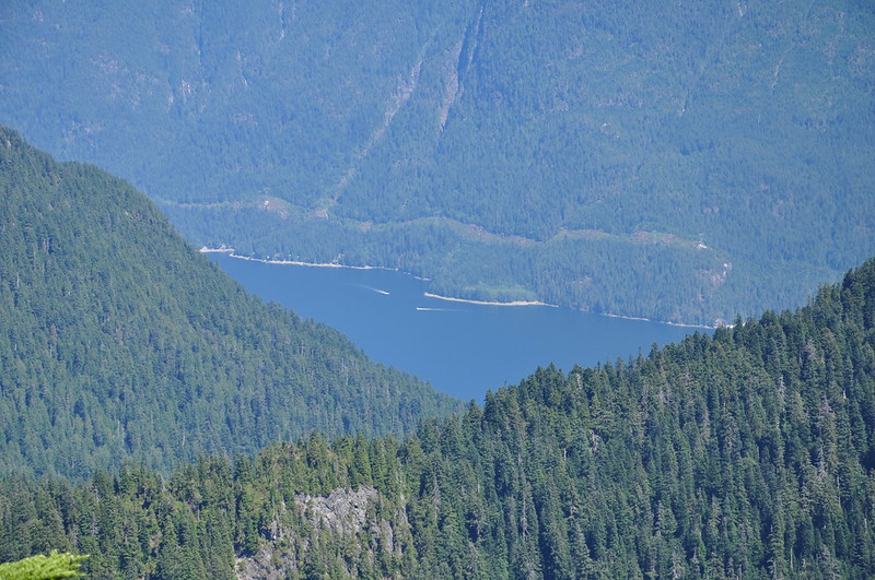
A bit of Indian Arm visible far below. There is a powerline corridor there, yet the area is roadless.
The views here beg for panoramic photos. Looking north and east:

Looking north. That’s Third Peak in the right foreground (not as easy to get to as it looks, according to the description in our book):
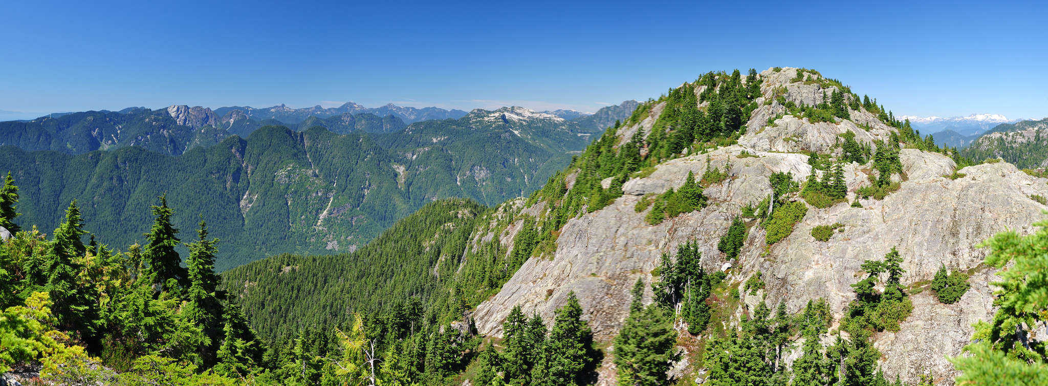
Looking east and south:
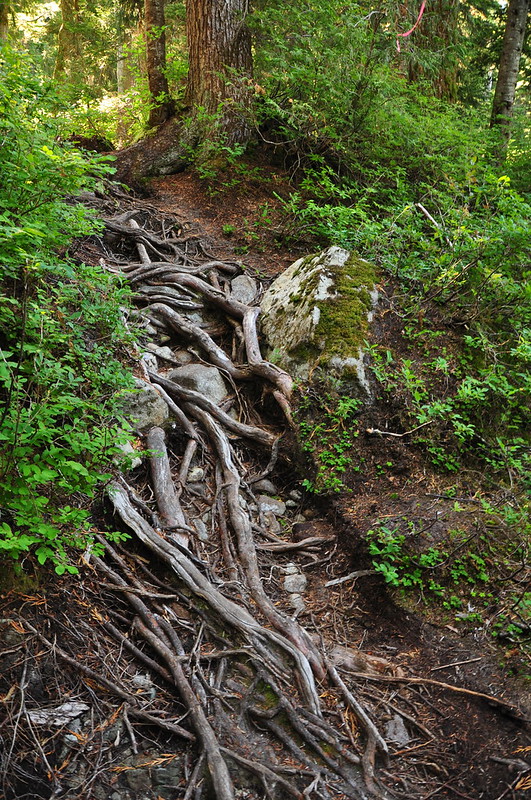
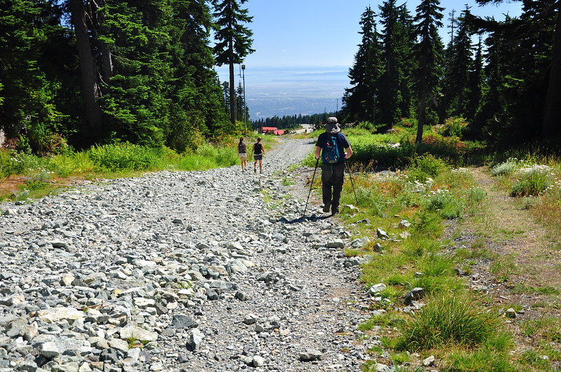
I would have loved to linger longer admiring the views, but we had no idea how long it would take us to get back. So we navigated our way back through the root and boulder obstacle course. For the last mile back to the car you have the choice of trail or ski run. We chose the ski run. “I’ve never been so happy to hike an ugly ski run,” said Greg. Agreed.
The scenery on this hike was so so so beautiful. And it was worth it, even though this was by far one of the hardest hikes I have ever done. The constant scrambling over boulders and roots was completely exhausting. I feel very lucky that we had such good views a the top since weather can change fast up there. Also, the area was blanketed in wildfire smoke just a few weeks ago. So we lucked out with clear skies. Also, as it turned out, the traffic wasn’t bad at all we were an hour early for dinner. We could have had more time at the summit!


