Greg and I just spent a week in the Wallowa Mountains and although most of our time was spent camping in the backcountry, we did one day hike on our first day. Although we had originally planned to day hike from the Summit Point trailhead, we ended up doing a day hike on Pine Lakes Trail #1880 because there was a geocache that Greg really wanted to find on the trail.
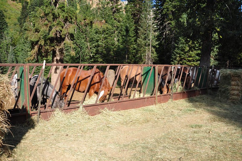
Finding the Cornucopia Trailhead is quite difficult because there is not a single sign. There are also several roads branching out from the area, some horse corrals, and a private lodge confusing things. If you ever go looking for the trailhead, you need to drive past the horse corrals and there is parking at a turnaround area just beyond. The trailhead coordinates are N 45 01.036 W 117 11.769.
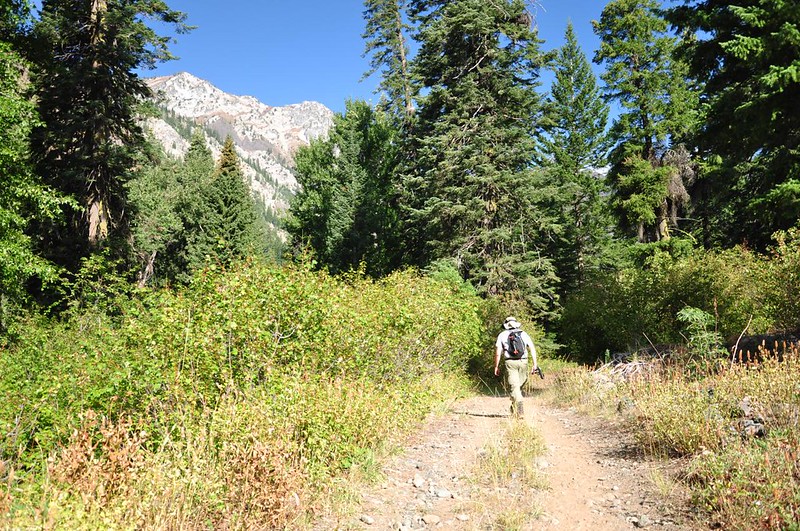
This area was heavily mined in the first part of the 20th century and the trail starts out on an old mining road.
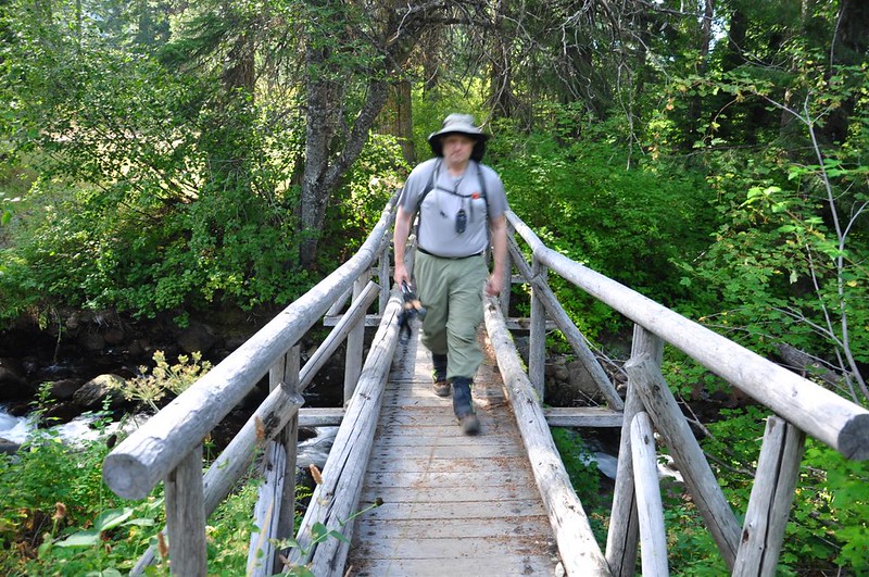
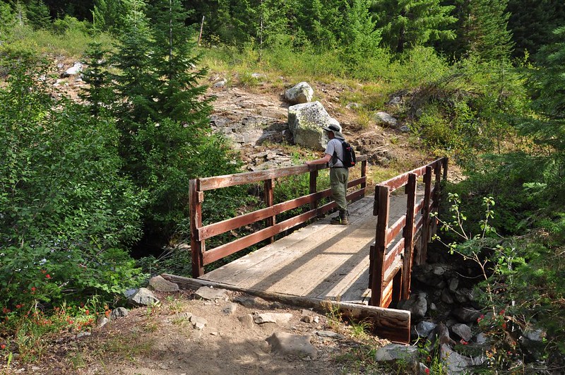
The road intersects a creek at a ford for horses but a hiker bridge is provided for those of us on foot.
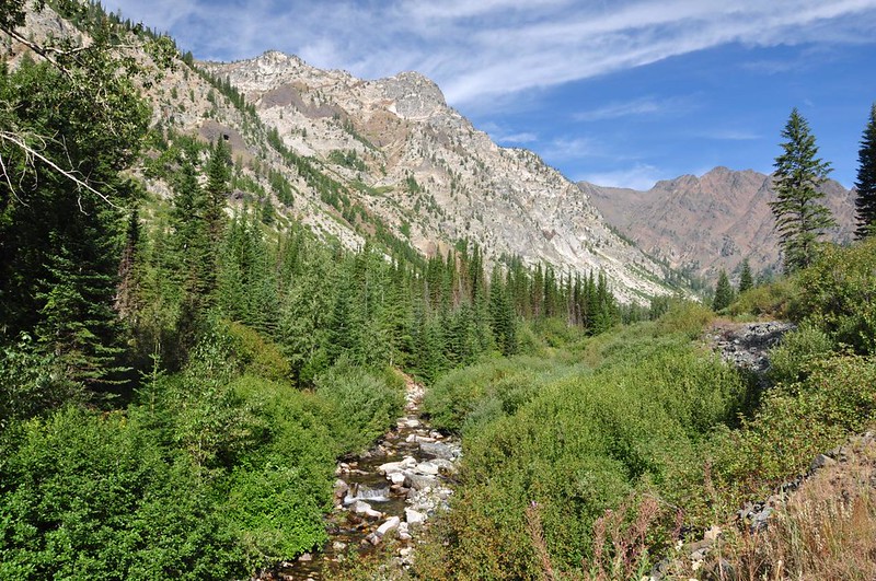
The views started opening up and we got a view of the surrounding mountains.
The West Fork Pine Creek gurgled along beside us as we hiked north.
Then we crossed the creek on a footbridge.

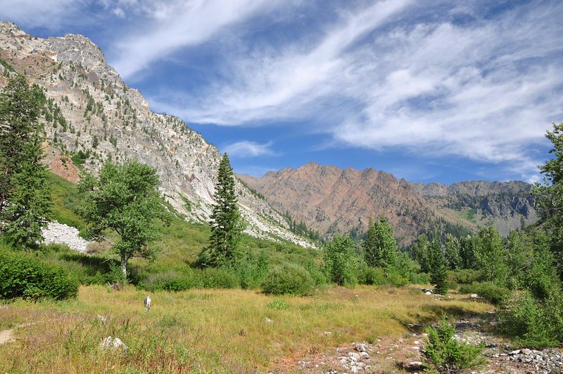
Tiny Greg hiking through a big meadow. If it looks dry and brown, it was. They’ve had a hot dry summer out that way this year.
We crossed back over the creek and then the trail started switchbacking up the hill.
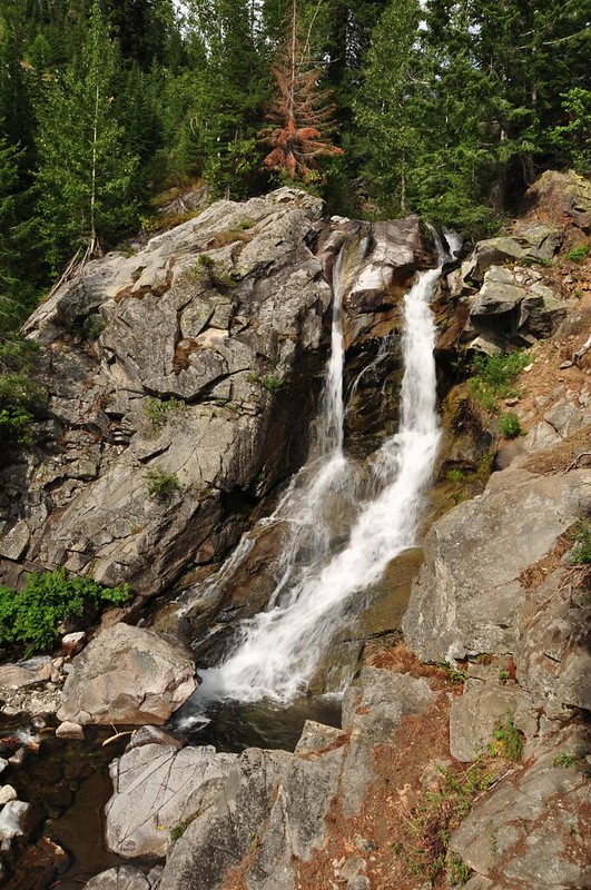
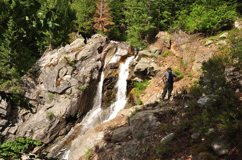
In William Sullivan’s eastern Oregon hiking book he described where to leave the trail to see a waterfall, so we did. Pine Creek Falls is a nice little waterfall that is pretty easy to get to.
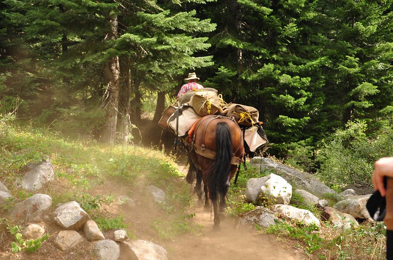
A horse packer was headed down as we were heading up.
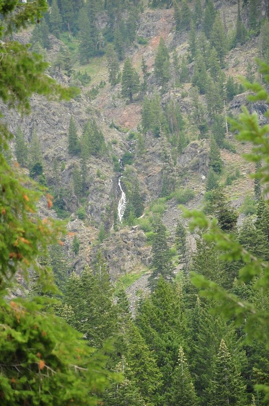
To the east we spotted two more waterfalls. One of these is probably Middle Fork Pine Creek Cascades, but not sure which one. This one was higher up the cliff:
And this one was lower down. We could have bushwhacked to this one if we’d had the energy.

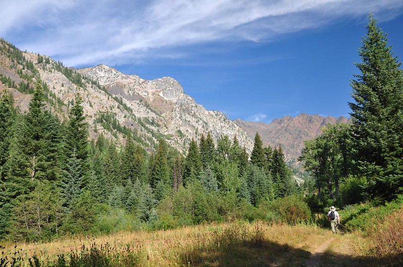
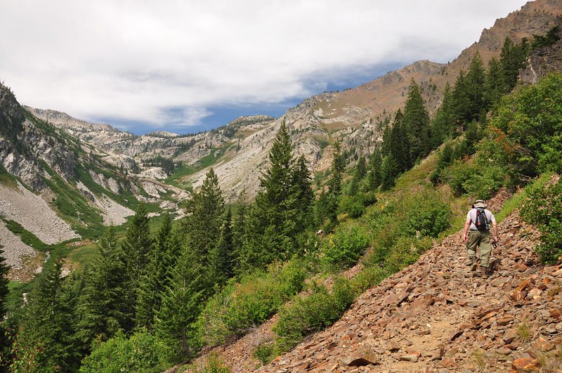
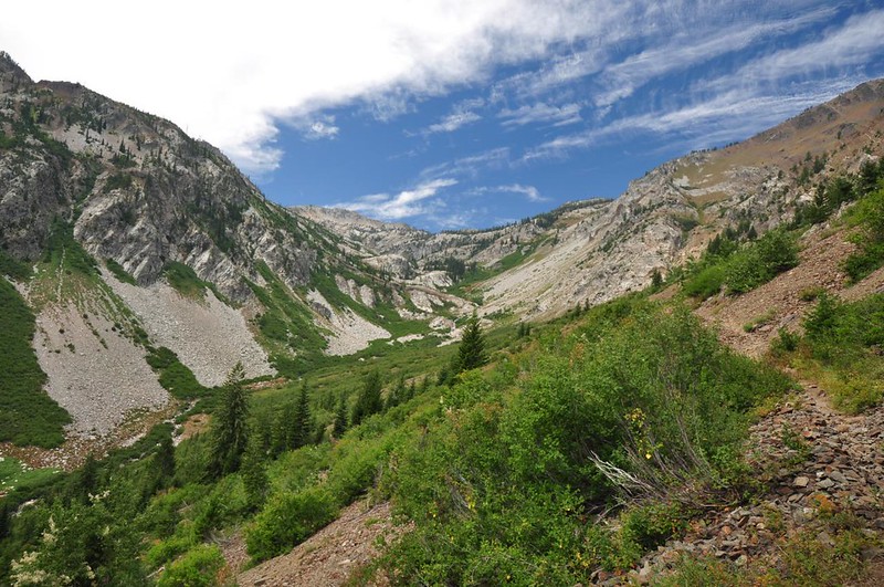
After the switchbacks the trail begins a long traverse. The Pine Lakes are in that bowl up there.
Looking back down the valley we just hiked up. See all those clouds? It was a muggy day. Ugh.

At the 3.5-mile mark we reached the spot where the geocache was, just outside the wilderness boundary. This would be our turnaround point.

A better look towards Pine Lakes.
It would have been another four miles to get to Pine Lakes, making for about a 15-mile day hike, which we just weren’t up for. We DO want to come back and backpack to Pine Lakes, and in retrospect we should have saved this hike and that geocache for when we do that. The trail was quite rocky and dusty and is one of those trails you don’t want to hike more than once. Oh well….hindsight is 20/20!
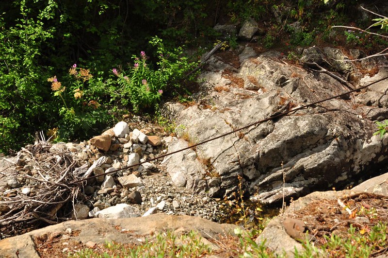
Another thing to note is that we spotted several old mining artifacts on this hike, which was cool. This old cable was at the waterfall:
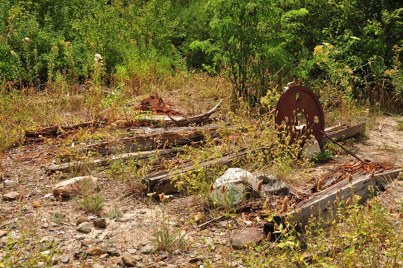
No idea what this is:

Or this:
Looking forward to a visit to Pine Lakes sometime in the future, which look quite lovely from the pictures I’ve seen!


