On Friday Greg and I headed up to Mowich Butte and Sedum Point. I had hiked up to Mowich last year and failed to find the site of the old fire lookout on Mowich. Turns out I was VERY close!
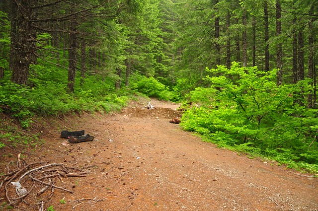
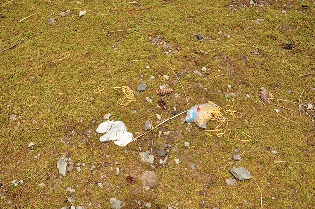
Instead of hiking up from below, we drove up Road 41 as far as we could before we reached the dirt berm, beyond which the road has been decommissioned. It’s hard to see in this photo, but there’s a campfire site on the left where some idiots tried to burn all their trash before leaving. It didn’t burn, and just left a huge mess. This was just the first of LOTS of garbage that we saw on this hike.
In addition to that first huge berm, the road has dozens of berms along its length as part of the decommissioning process. I don’t understand the point, though. Are they meant to deter vehicles? No vehicle is going to make it past that first berm. Are they meant to deter ATVs? The ATVs just go up and over them. We saw plenty of ATV tracks. I wrote to the Gifford Pinchot Forest to ask about this, but they never wrote back.
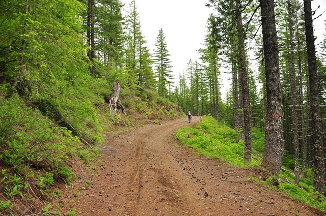
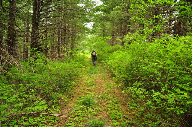
Anyway, up the road we go.
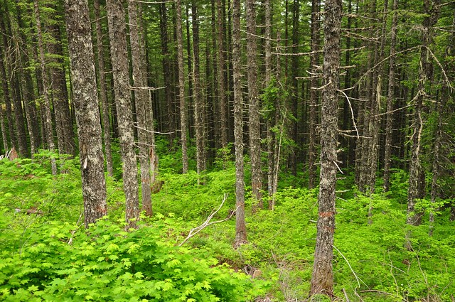
There was lots and lots of vine maple along this hike. This would make a great fall trek!
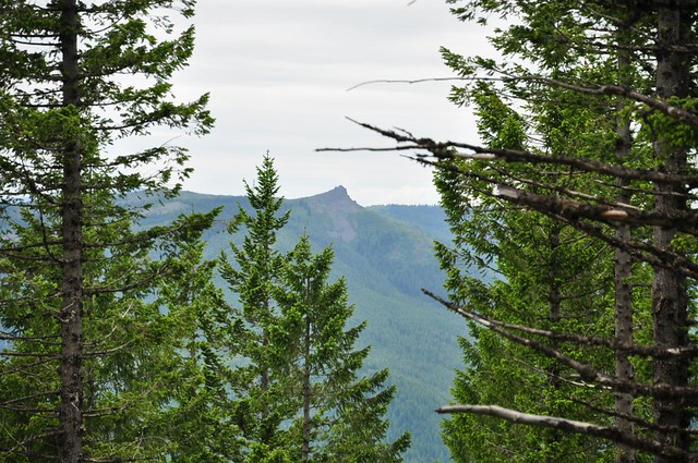
After we turned onto the Mowich Butte spur we got a peek through the trees at Three Corner Rock.
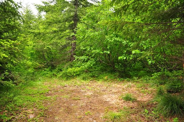
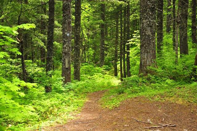
Almost to the top of Mowich Butte the road becomes more overgrown.
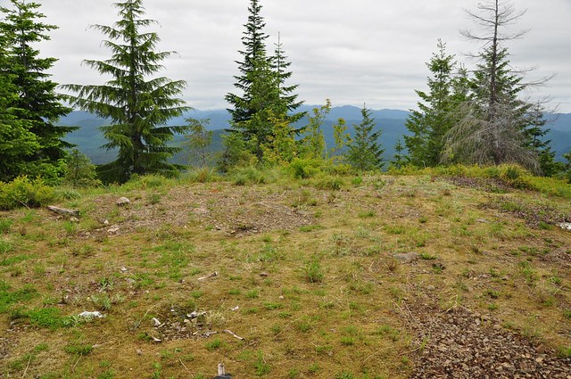
Last year when I visited and walked that overgrown road, I ended up at what I thought was a dead end. I didn’t see the site of the old lookout, and I didn’t see many views. Turns out that for some reason a small section of the old road has become so overgrown that it just looks like you’ve reached the end. This view is looking west along the road, with all the trees growing right in the middle of it. Back in the 30s when the lookout tower was built this view would have been an unobstructed one over to the tower. We pushed through the branches on the left side and there we were.
Mt. Adams and Mt. Rainier would be visible from here, but it was overcast this day and we had no views.
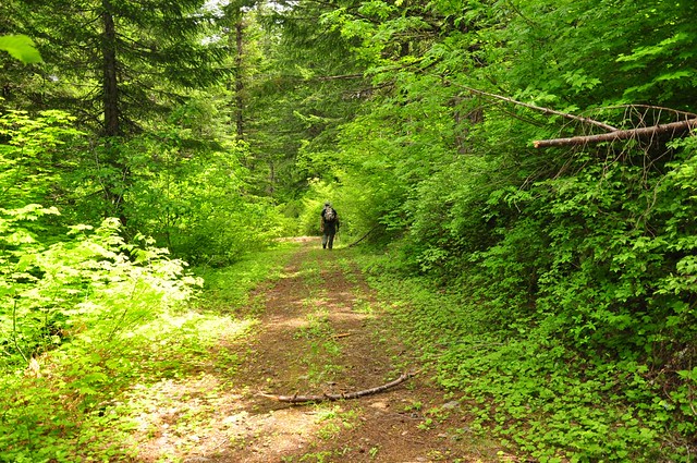
From Mowich Butte we hiked back down to Road 41 and then east towards Sedum Point.
All along this hike we’d been seeing lots of garbage, which looked to have been left by the ATV crowd. We’d also been seeing rubber bands here and there. We finally came across the source of those rubber bands, although I can’t imagine why an ATV rider would be carrying a package of rubber bands. And why the hell did they leave them here? Also, one of the packages was tied to a plastic water bottle with some twine. So far, my imagination hasn’t come up with a plausible reason for this scenario.
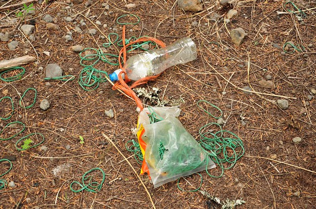
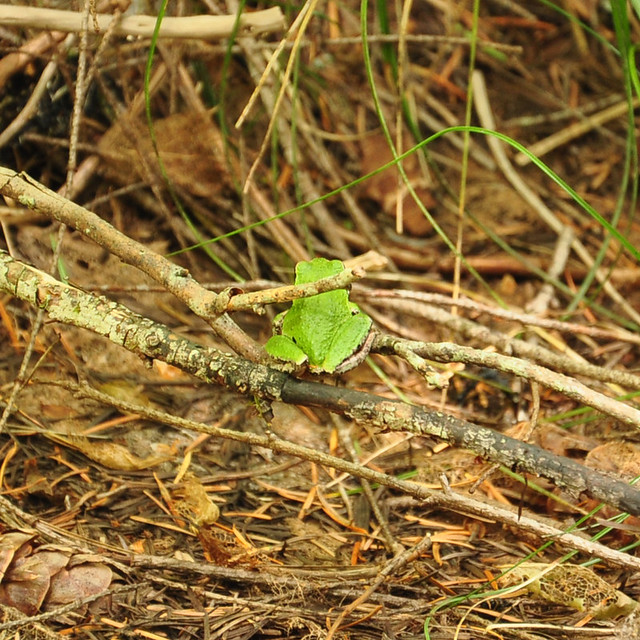
We only had one small plastic grocery bag, so we couldn’t haul out all the trash we saw, but the rubber bands we did haul out. In the process of bagging them up a little green frog hopped out of the bag of green rubber bands!
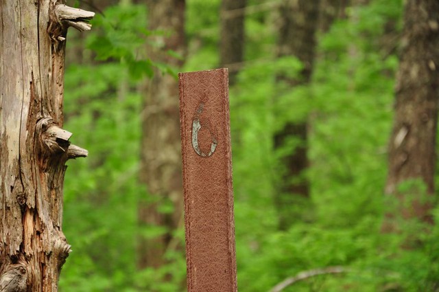
We saw a few of the old mile markers from when this road was actually a road.
Shortly before reaching Sedum Point we intersected the PCT.
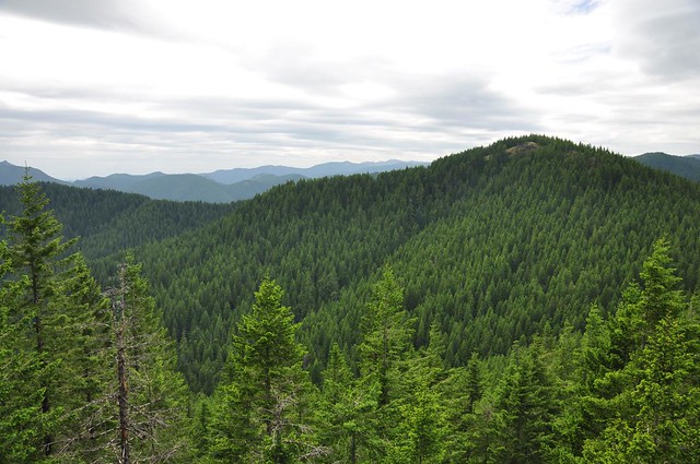
The road goes along the base of Sedum Point, but that’s as close as you can get before you have to scramble. Scramble we did, until we got up to a rocky Sedum Point. Once again, overcast skies obscured long-distance views. This is looking west, to an unnamed hill in the foreground. I’m not positive, but I think that the forested hill that is just behind the foreground tree on the left is Mowich Butte:
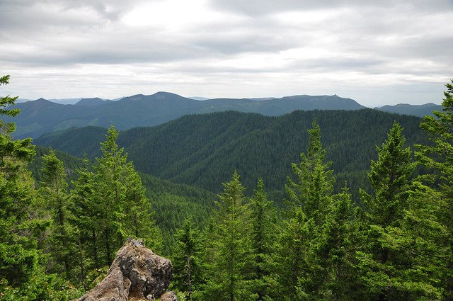
Looking southwest. The pointy peak at left is Greeenleaf Peak. The pointy peak at right is Three Corner Rock.
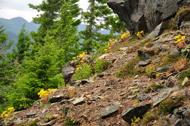
Sedum (stonecrop) was blooming on Sedum Point. An appropriately-named landmark!
Penstemon also bloomed there.
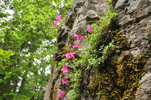
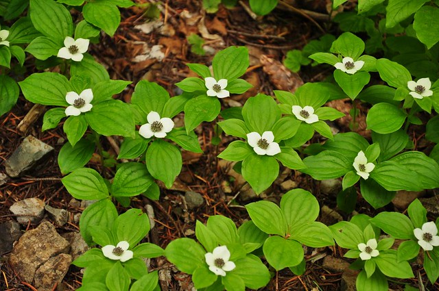
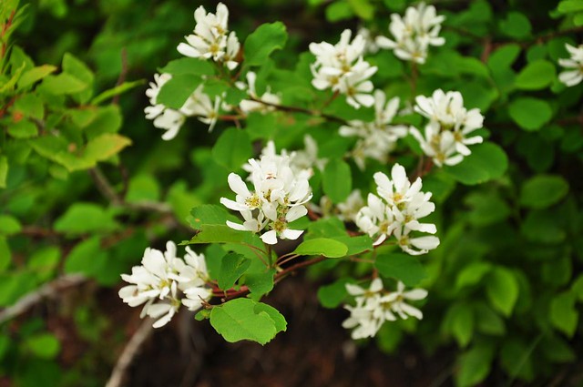
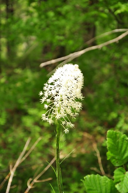
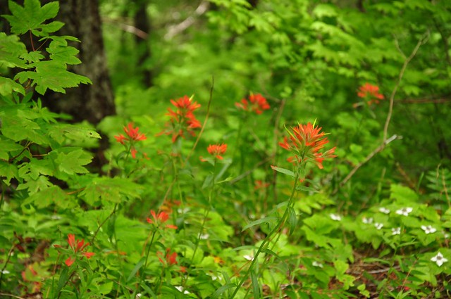
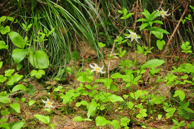
Other wildflowers we saw on our hike:
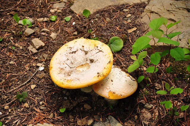
And mushrooms!
It had been threatening to rain all day, and it did sprinkle a bit on the way back to the car, but it wasn’t too bad. Someday I’d like to hike up here coming up via the PCT from Road 43.


