Saturday, August 28 – Sunday, August 29, 2021
For the first time ever we did a car shuttle backpacking trip.
Last year Greg and I were scheduled to go backpacking with my sister Deb and her husband Karl the weekend after Labor Day. Then the fires happened, public lands were shut down, and much of the state was choked with the worst smoke imaginable. So obviously we had to cancel. We rescheduled for the last weekend of August this summer and despite the drought and bad fire season we were able to do the trip.
When we woke up at Deb and Karl’s cabin in Detroit Saturday morning the air was smokey and the air quality was atrocious:

Our theory was that smoke from the nearby Bull Complex Fires had settled into the canyon. We decided to drive south to the trailhead to see if things looked better. When we got out of the car at the Duffy Lake Trailhead the air was indeed much clearer with no smell of smoke, so we decided to go for it. We left one vehicle there and headed north in the other vehicle to the Pine Ridge Trailhead. It was promising that we had a good clear view of Mt. Jefferson from Road 2261:

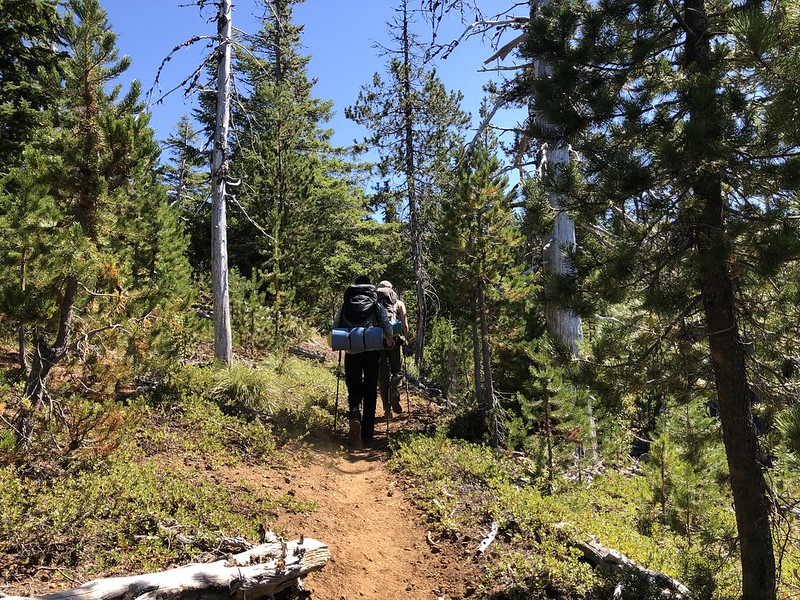
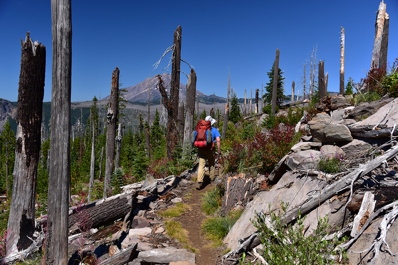
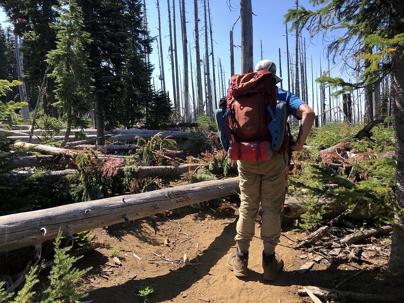
We set off on the Pine Ridge Trail:

After a quarter mile we reached the wilderness boundary, info kiosk, and junction with the Turpentine Trail which a hiker later told us was an absolute mess:
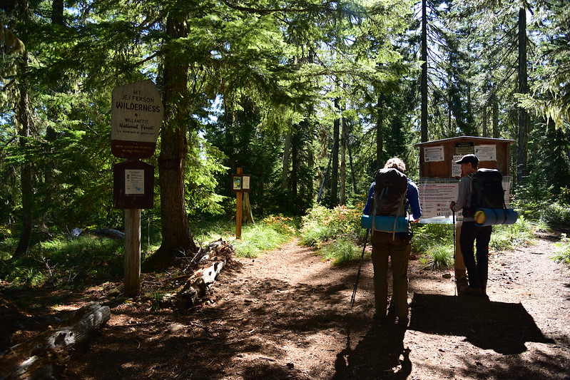
If you’re considering a hike involving the Turpentine Trail, the Forest Service website has this to say about it: “The trail heads through young forest into B & B Fire of 2003. Trail has heavy tree regrowth. Trail line was lost and later reestablished though it continues to need maintenance to keep users on the correct route.”
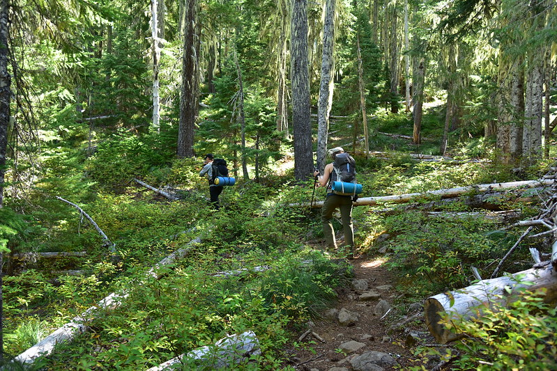
We continued on the Pine Ridge Trail through shady forest that escaped the fire 18 years ago:
At the half mile mark we passed an obvious user trail on the right that heads to Turpentine Lake, but we did not check it out. After two miles we passed the junction with the trail to Temple Lake, and this trail we did explore:
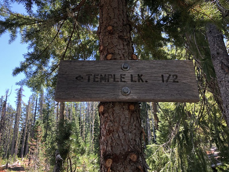
It clearly hasn’t seen recent maintenance:

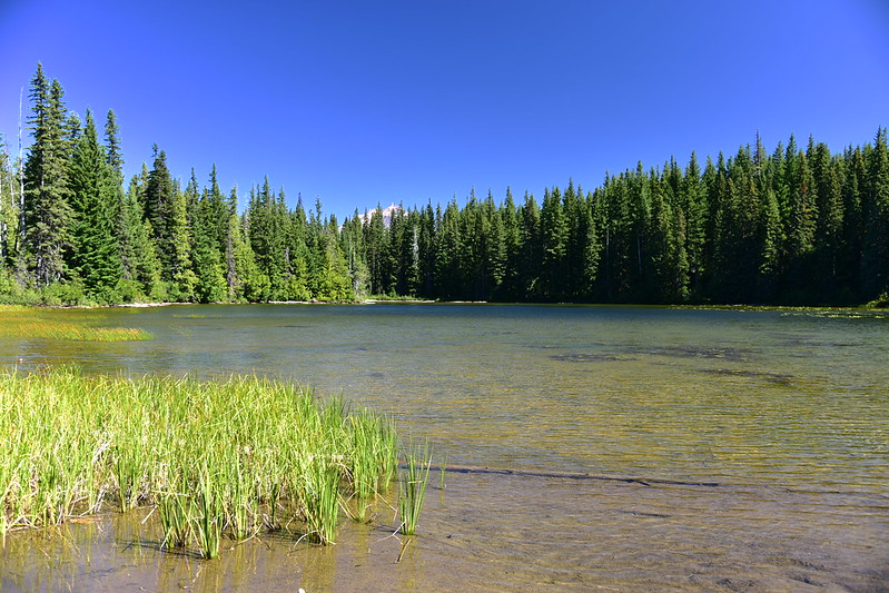
The trail descended 0.4 miles to the south end of Temple Lake where there was one sprawling campsite in the trees. The top of Mt. Jefferson poked up above the trees:

Deb and Karl decided to do some cross country to get back onto the main trail, while Greg and I stuck to the trail and met back up with them further along:

After four miles we reached the junction with the trail to Marion Mountain:

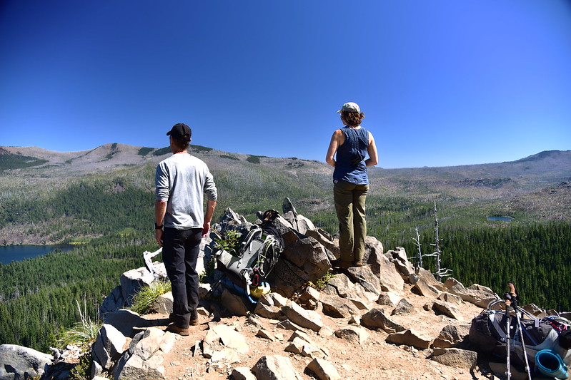
Greg wanted to make sure there was “enough in the tank” for the rest of the hike, so he declined to take this side trip. Karl, Deb, and I headed up and he waited back at the junction:
After 0.8 miles we reached the summit where awesome views awaited us:
Mt. Jefferson and Marion Lake:

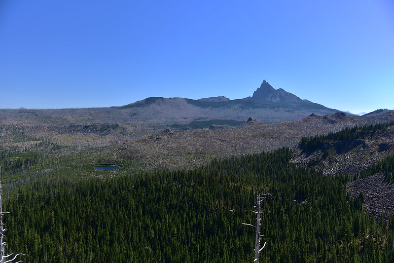
Three Fingered Jack:
Smoke from the Bull Complex Fire. Bachelor Mountain at left, Mount Bruno just left of center. :

This was once the site of a fire lookout, but there’s barely any evidence of it left:

Deb and Karl decided to make their way along the ridge towards Marion Peak, Saddle Mountain, and Green Peak, then drop down to Jorn Lake. So we parted ways and I went back down the trail to meet up with Greg. We continued east on the Pine Ridge Trail:
We reached the junction with the Blue Lake Trail. Busy Marion Lake lay to the left, but we turned right towards the Eight Lakes Basin:

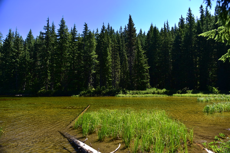
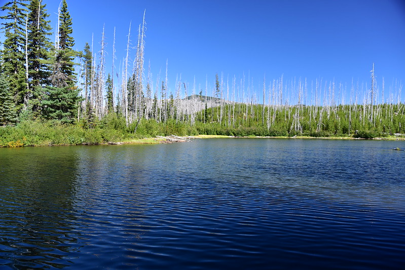
There was a shallow pond near the junction:

We hiked through shady unburned forest:

0.8 miles from the junction we reached Jenny Lake where we followed a short user trail down to a large campsite where a group had just finished making camp. We filtered water while chatting with the campers:
Soon enough we left behind the shady forest and entered the burn. It was not a hot day, but it felt hotter than it was as we hiked uphill in full sun:

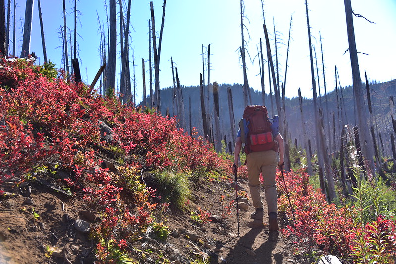

The huckleberries were fiery red and FULL of delicious berries!

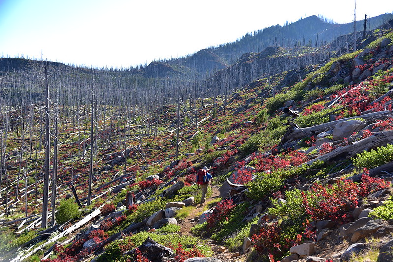
The Blue Lake Trail had not seen any maintenance this year, a fact which the Forest Service neglected to mention on their website. There was a lot of blowdown in the burn area and we climbed over one fallen tree after another:

It seemed to take a lot longer than it should have, but we finally crested the ridge and began our descent down the other side:


More hiking through the burn and the blowdown:

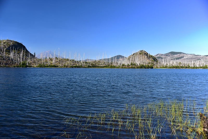
We didn’t bother stopping at Blue Lake and kept pushing on to Jorn Lake, a sign for sore eyes:

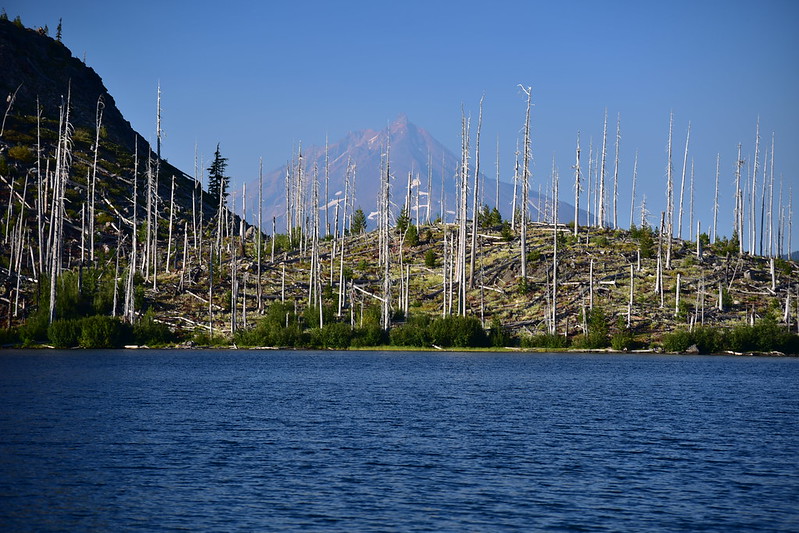
We found a campsite on the south side of the lake with a view of Mt. Jefferson:
Deb and Karl joined us a little while later, having only made it to Marion Peak, not the other two. They dropped down to Blue Lake and hiked south to join us at Jorn Lake. We filtered water, made dinner, drank wine and whiskey, then sat by the lake as the sun started to set:
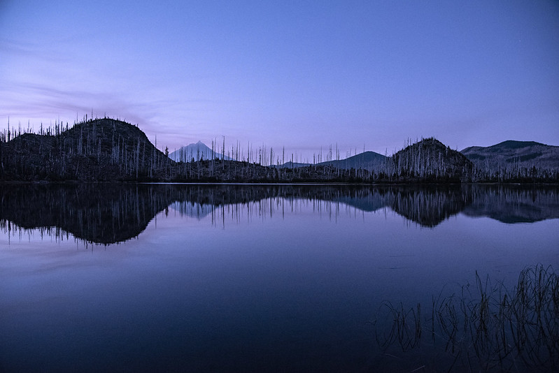
We saw bats flying around at dusk, and later the stars came out. I hate that the days are rapidly getting shorter but one benefit is that the stars come out at a reasonable hour. In July you have to stay up pretty late to see stars!

It got down in the 40s overnight, but we all stayed warm in our tents:

We made breakfast:

And enjoyed the lovely morning at the lake:


See Deb and Karl down by the lake?

There were quite a few huckleberries around so of course we picked some:

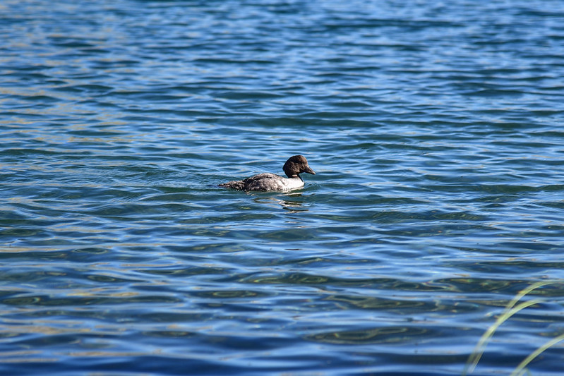
This diving duck paddled by:
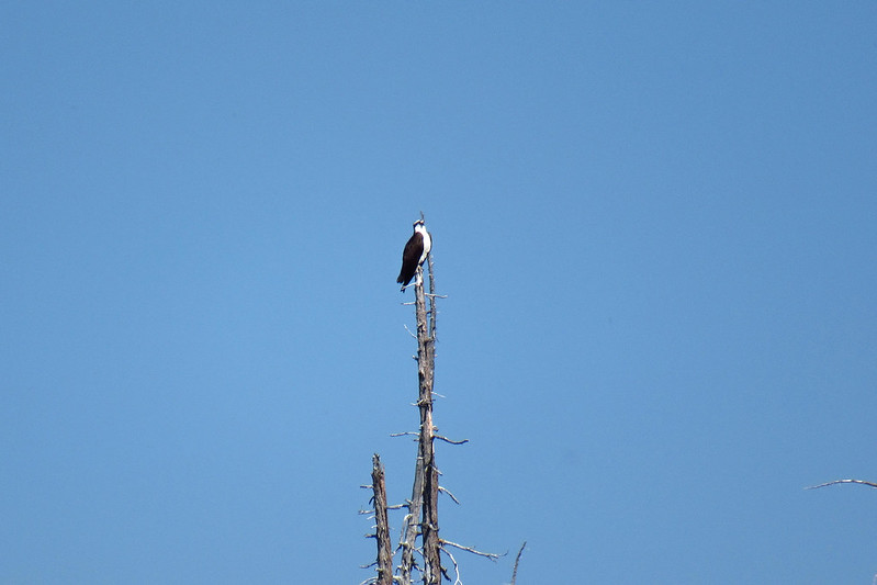
And we saw an osprey on a snag across the lake:
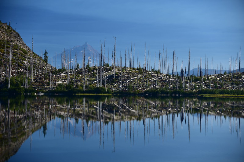
Haze started to obscure Mt. Jefferson by the time we packed up and left at 11:30:

Deb and Karl decided to go up and over the top of Red Butte and meet up with us on the trail. Greg and I stayed on the Blue Lake Trail, soon passing Red Butte Lake:

Then Alice Lake:

We left the trees behind and entered the burn, from which we could see Red Butte:

There was of course more blowdown to deal with:

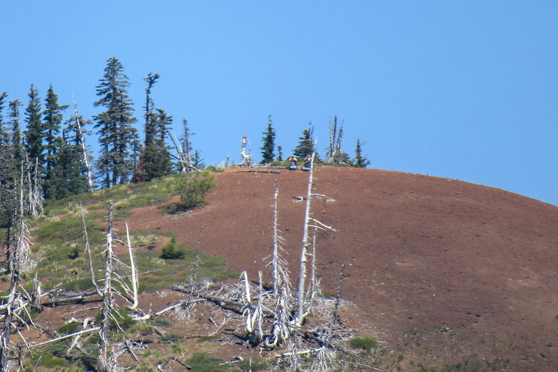
Over the radio Deb said they were on the summit of Red Butte and asked if we could see them. Without binoculars, no. But with my point-and-shoot I was able to zoom in and see them sitting there on their blue pads:
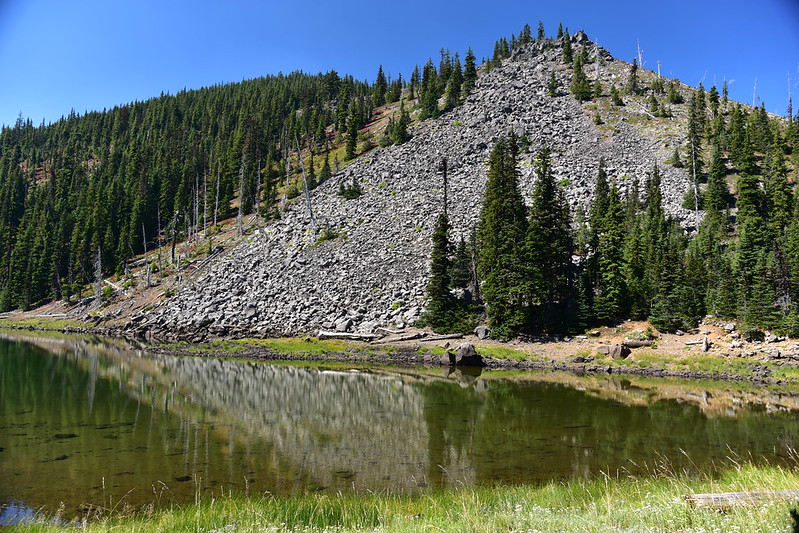
We dropped down to the shore of Mowich Lake for a break. Deb and Karl joined us soon thereafter:


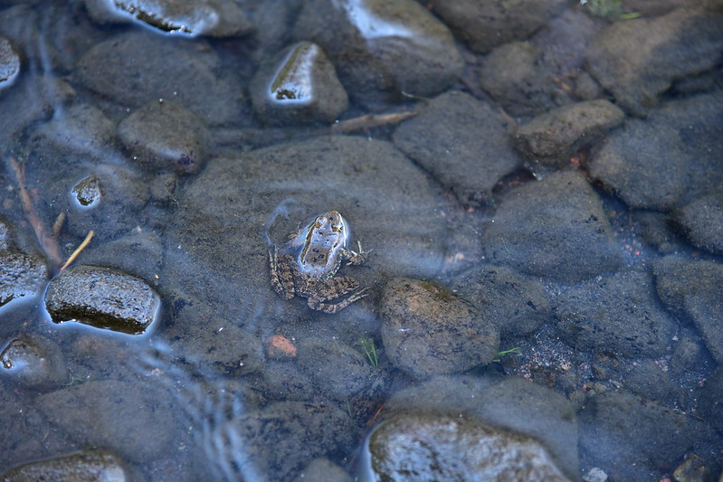
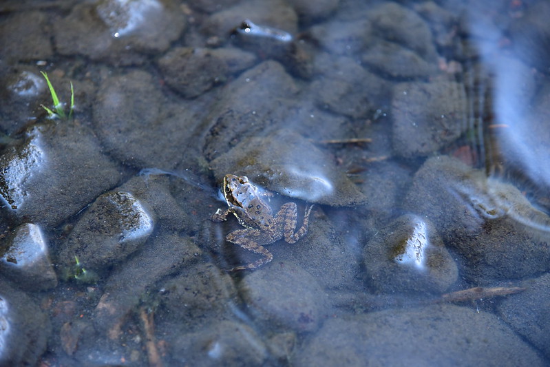
We saw this neat Cascades Frog:
Deb and Karl went wading:

Smoke was starting to roll in, so we packed up and continued on. By the time we reached Duffy Lake it was quite hazy:

From Duffy we marched quickly for the 3.3 miles out to the trailhead. This section is unburned and we appreciated the shade, as well as the fact this part HAD been logged out. We reached the trailhead at 4pm, glad to be done hiking through smoke.
Great hike and fun to do this with Deb and Karl!

Gaia stats: 17.5 miles, 2,050′ elevation gain


