Sunday, July 4, 2021
For our fourth and final hike in the Strawberry Mountain Wilderness we hiked up Strawberry Mountain.
I think most people get to Strawberry Mountain via Strawberry Lake, which is a 12+ mile day (hike description). We did a much shorter route and returned to the Road’s End Trailhead where we had started the Wildcat Basin hike a few days earlier. The first part was along the same old road we had hiked before:


Then we reached the junction where the trail to Wildcat Basin went left and we turned right onto the Onion Creek Trail:
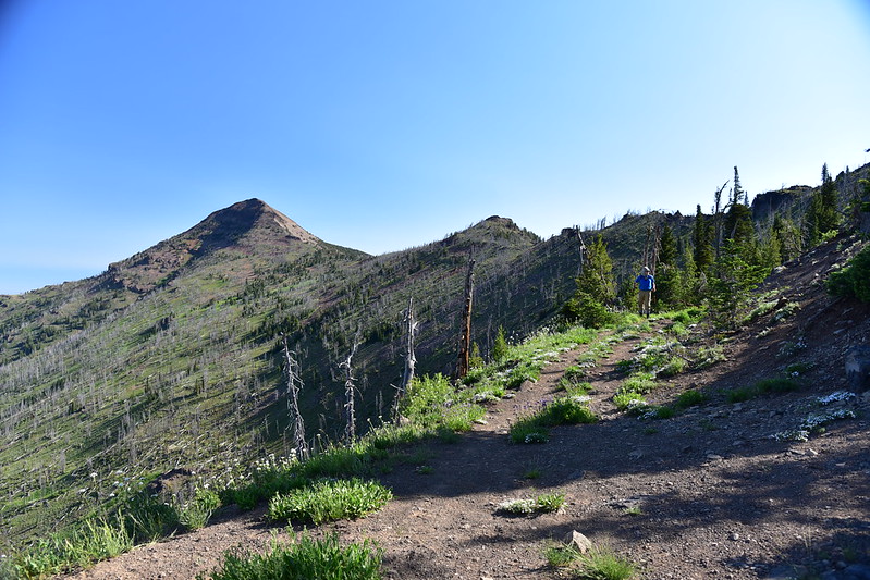
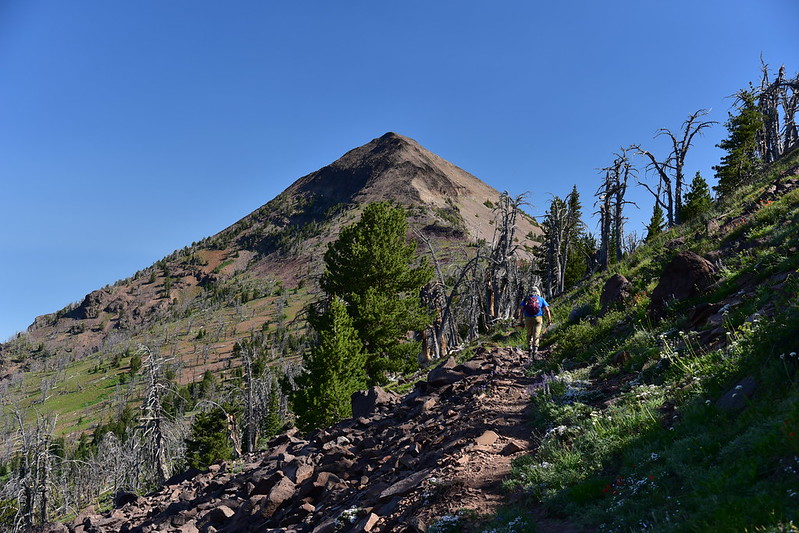
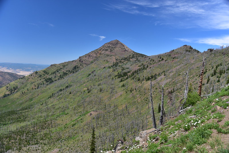
Strawberry Mountain loomed before us:
This was the only patch of snow we saw the whole trip. If not for the fact that Oregon is in a severe drought, I know we would have seen way more snow this weekend:

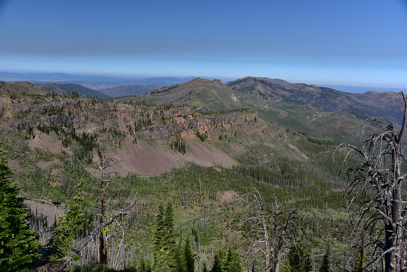
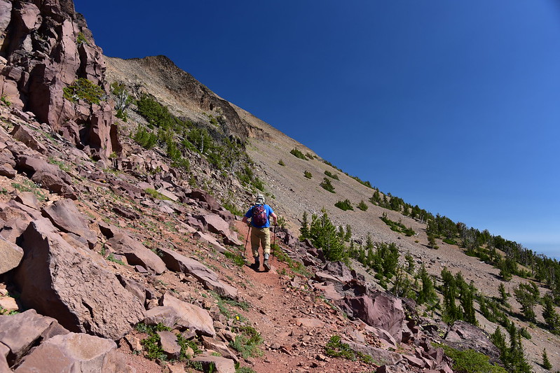
This area burned in the 2015 Canyon Creek Fire, so there was no shade. The trail traversed a lovely slope dotted with wildflowers:


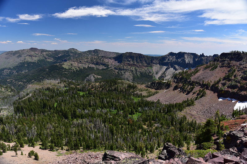
Because of the burned trees we had a pretty great view looking west:
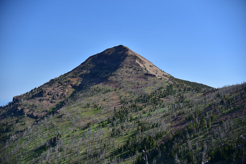
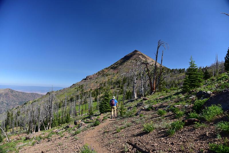
Strawberry Mountain was visible ahead us for much of the time:

This hairy woodpecker made quite a ruckus when we passed:

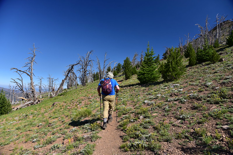
Continuing on:
Looking back along our route:

At 2.6 miles we reached the junction with the Strawberry Basin Trail coming up from Strawberry Lake:

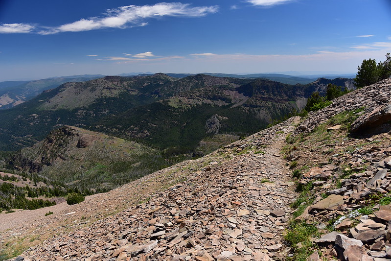
Now the trail traversed the eastern slope of Strawberry Mountain:
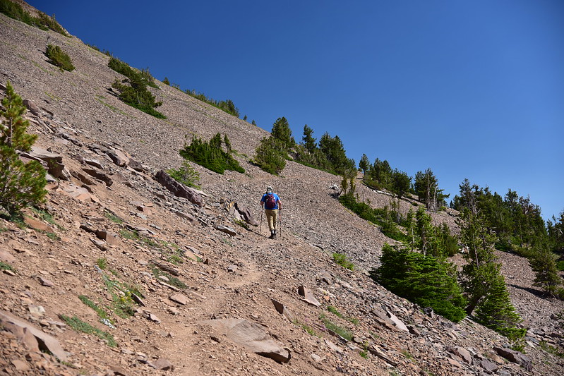
Looking back:

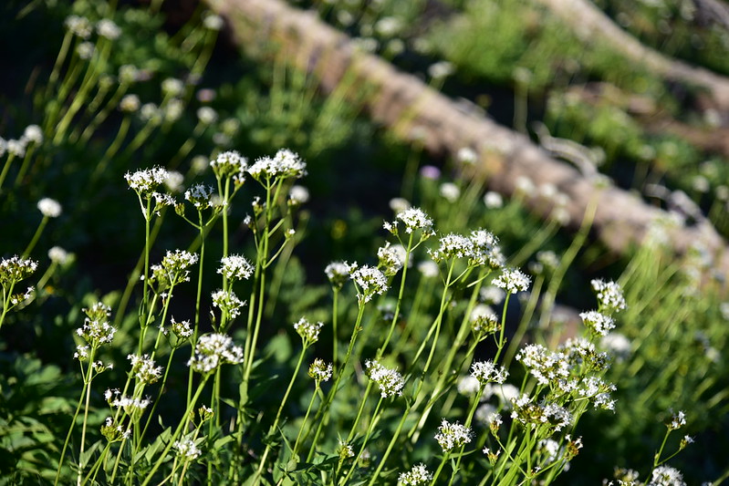
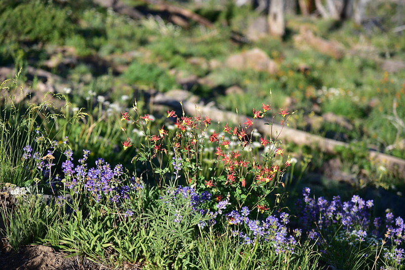
There was some nice penstemon here:

The trail entered the trees:

Then at 3.3 miles we reached another junction. The Onion Creek Trail continued to the right and the summit trail headed up to the left:

At the junction there was a viewpoint where we could see down onto Prairie City:
Last push to summit:

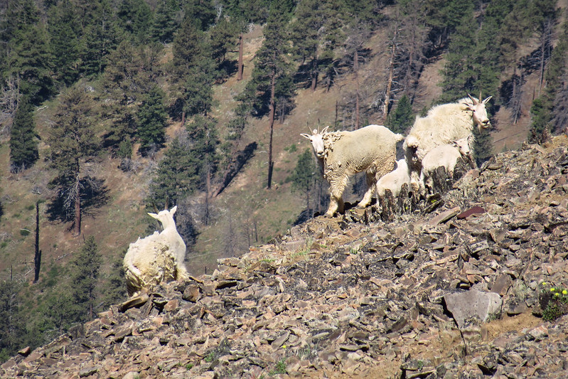
Right as we reached the summit we could see some mountain goats on the slope below us. We got to see them for about 30 seconds before they turned a corner and disappeared. I used my point-and-shot to zoom in all the way and get these shots:

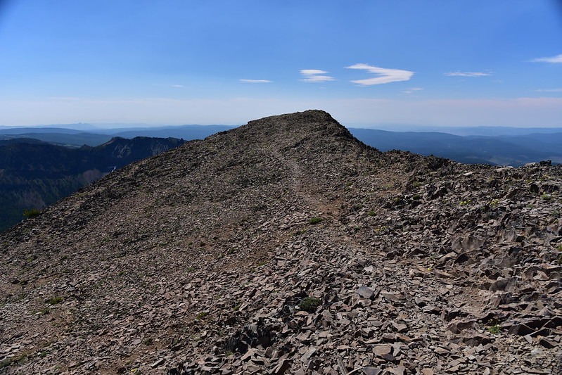
Looking north along the summit. We went out to that point for a bit:

Looking back south along the summit:
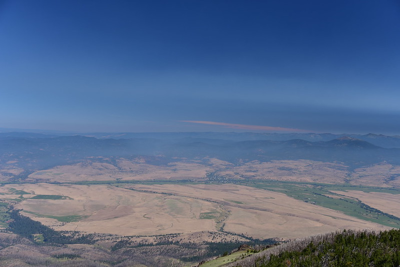
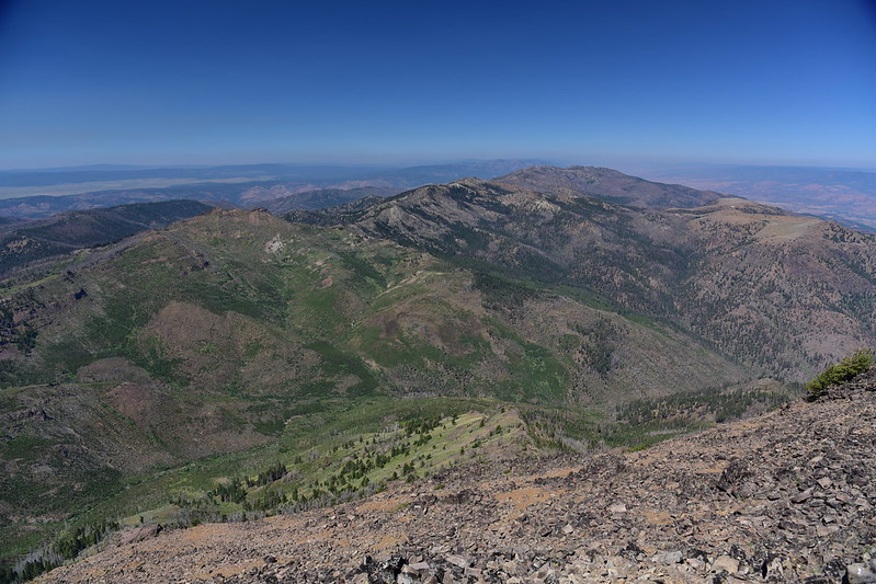
The area was hazy from California wildfire smoke, but we still had some pretty nice views. The green circular patch at center right in the photo below is the meadow we saw on the second half of our Wildcat Basin loop the other day (Wildcat Basin itself is out of sign behind that ridge):

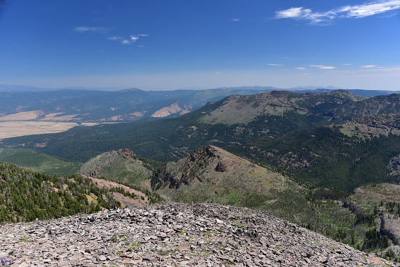
Looking across the Strawberry Mountain Wilderness towards Canyon Mountain:
Looking south:

Looking east. Strawberry Lake is hidden out of sight down there:
There were so many butterflies flitting around the summit. You can see a few of them against the blue sky here:

There was a fire lookout up here once, and we saw some of the remains:

We saw maybe a dozen other people come and go during our time up there. It was pretty warm up on the summit with almost no breeze so after hanging out up there for awhile we headed back down:
On the descent we got a good view of the Rabbit Ears, which you can see on the left:
Closer look:

As we hiked the Onion Creek Trail on the way back Greg left the trail to check out a spring on the map and it proved to be a lovely spot with a robust flow, so we got some water here:

At the junction with the Road’s End Trail we turned for one last view of Strawberry Mountain before the final jaunt back to the car:
Great hike with great views!
Gaia stats: 7.5 miles, 1,200′ elevation gain


