Friday, August 14 – Sunday, August 16, 2020
Greg and I had already been considering backpacking to Snowgrass Flat in the Goat Rocks Wilderness but when the weekend weather forecast called for high heat, we definitely wanted to get into the high country where it would be cooler.
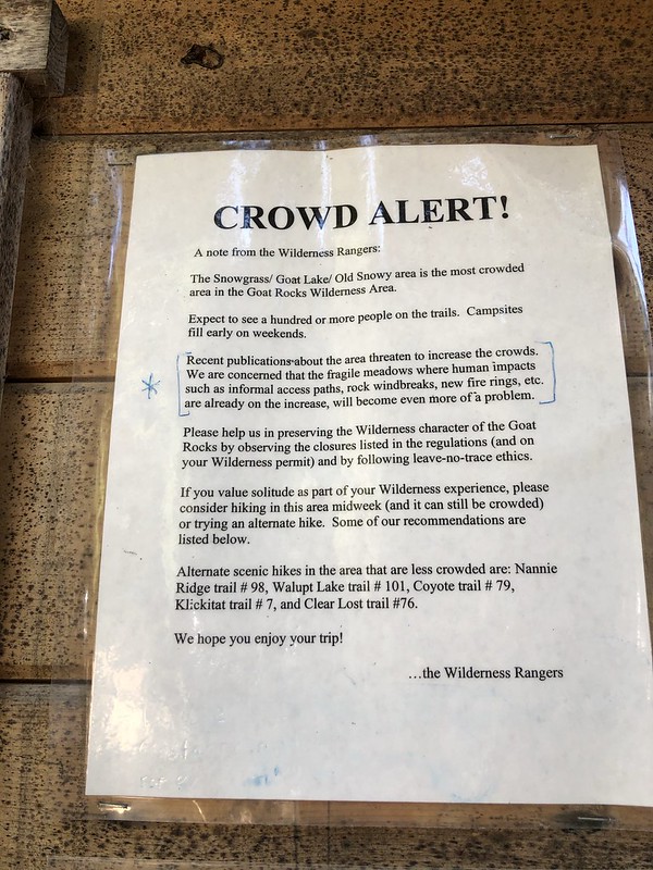
Neither of us had been to the Goat Rocks Wilderness before. All the trailheads are a 3+ hour drive from Portland, making it too far for day hikes. So we were excited to finally visit a place we’ve been wanting to go. Despite an early alarm on Friday morning we did not arrive at the trailhead until 11:10. There were probably 100 cars there already. It was packed. There was this Crowd Alert notice at the trailhead:
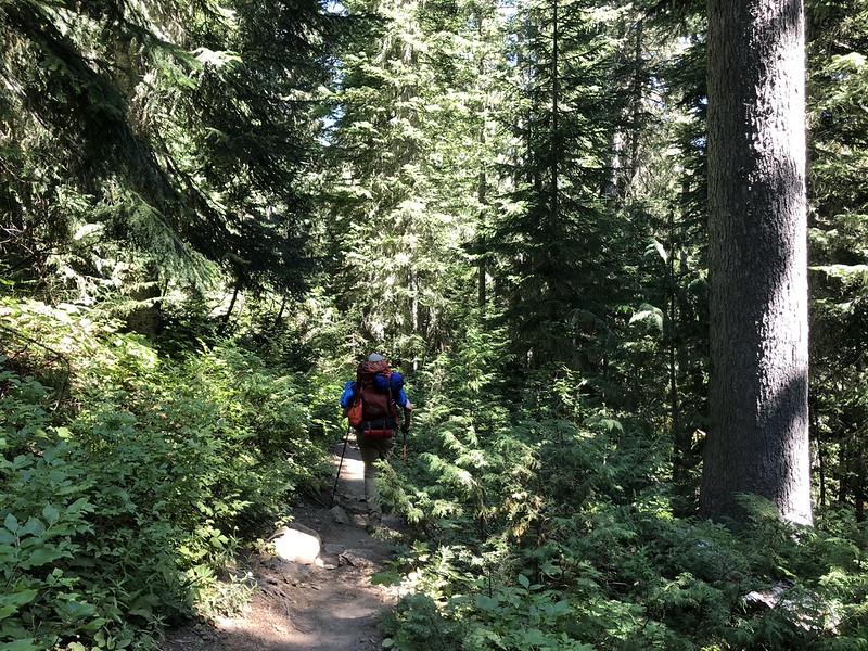
Greg needed to finish packing so we didn’t hit the trail until 11:40, a late start for such a warm day. Thankfully the Snowgrass Flat Trail starts off in the cool shady forest:
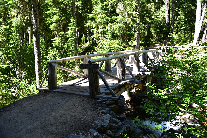
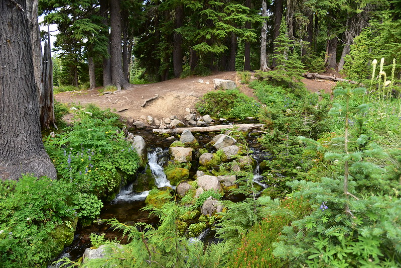
We crossed Goat Creek at 1.9 miles:

After climbing up through the forest we reached the junction with Bypass Trail #97 at 3.9 miles. I had been putting my mask on when passing other hikers but Greg had been wearing his continually and was feeling light-headed. Our plan had been to head to Cispus Basin, but since Greg was feeling so poorly we decided to head to the closer Snowgrass Flat instead. We started seeing some flowers:

We reached the intersection with Lily Basin Trail #86, which heads to Goat Lake:

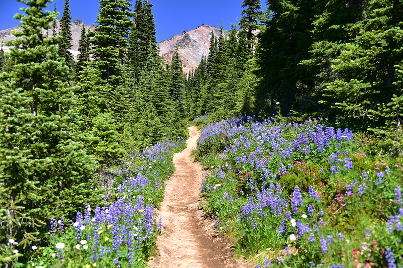
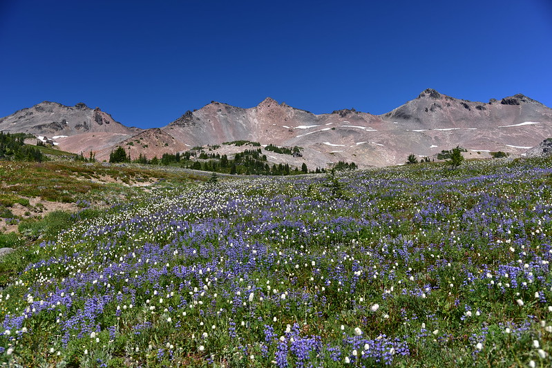
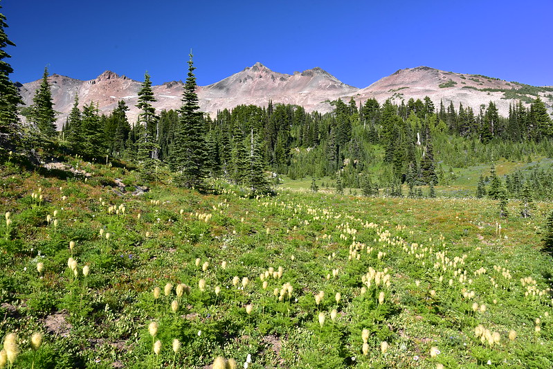
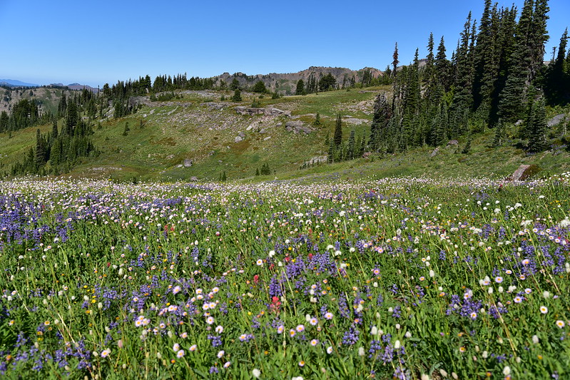
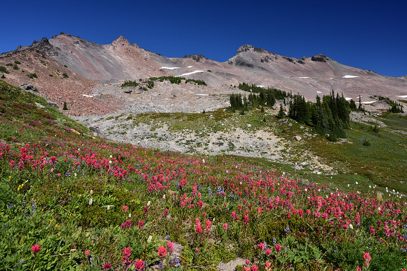
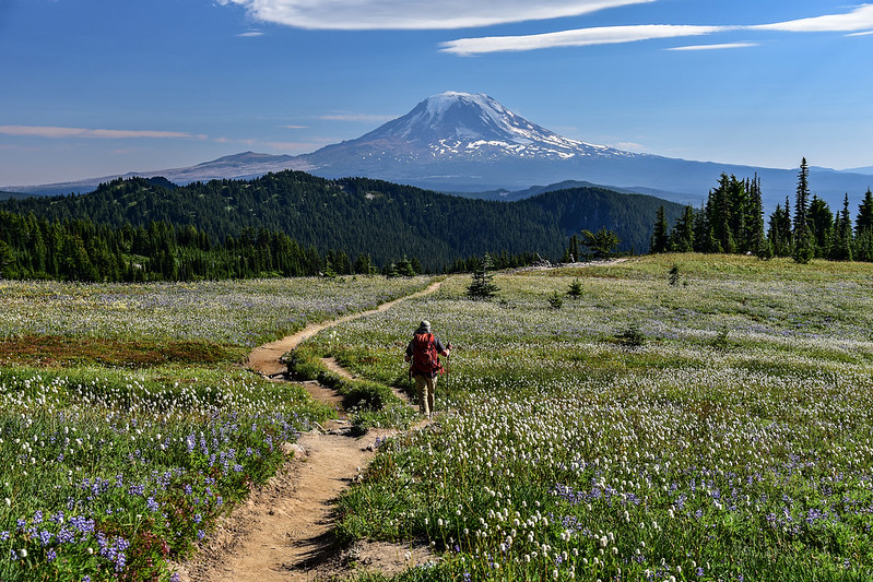
We continued on the Snowgrass Flat Trail. We were now starting to see lots of wildflowers:


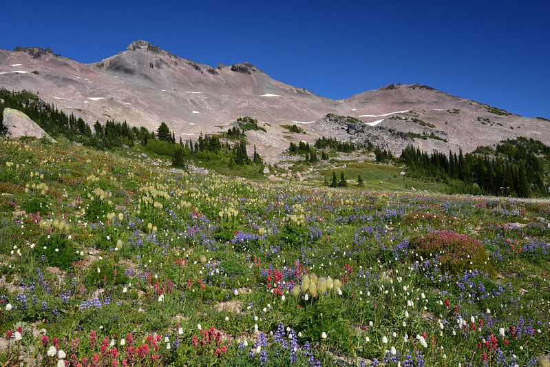
Every campsite we passed was already occupied, even though it wasn’t yet mid-afternoon on a Friday. So we kept pushing on, continuing to pass amazing wildflowers:

We reached the junction with the Pacific Crest Trail and we still hadn’t found campsite. Now that we were on the busy PCT we started seeing even more people. We headed south and went off-trail a bit where we found a dusty flat spot to pitch the tent. Ironically, at this point we had hiked six miles total, just half a mile short of the 6.5 miles we would have hiked if we had gone to Cispus Basin instead.
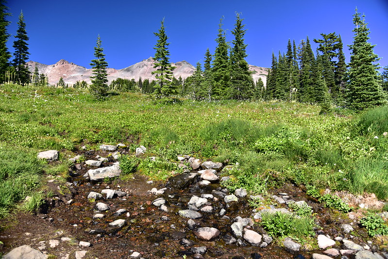
After setting up the tent and resting in our site for a bit, we went in search of water. Just a little bit south on the PCT is the head of Snowgrass Creek in the form a spring gushing from the ground:
More flowers:

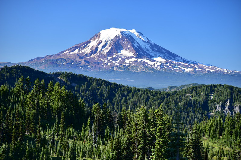
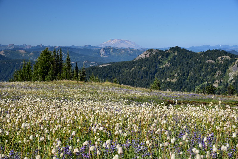
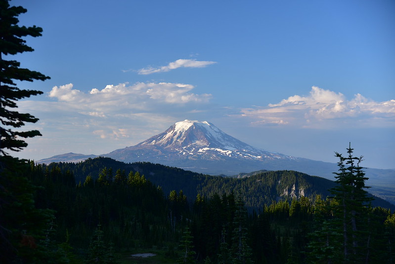
After filtering water we returned to our campsite and spent the evening relaxing before heading to bed. The next morning was gorgeous. After breakfast we set off for a day hike to Old Snowy. Mt. Adams is very visible from many spots in Snowgrass Flat and I ended up taking a lot of pictures of it:


As we headed north to Old Snowy we soon got a view of Mt. St. Helens:

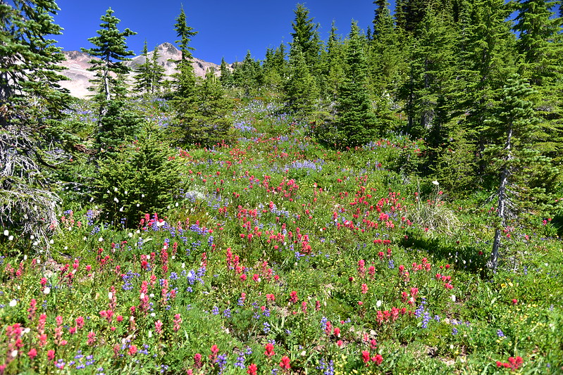
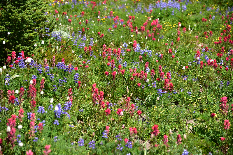
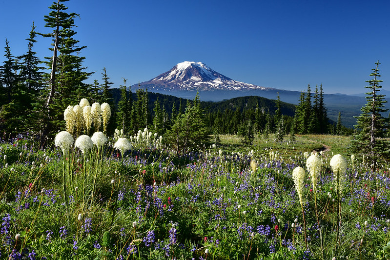
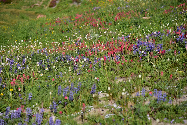
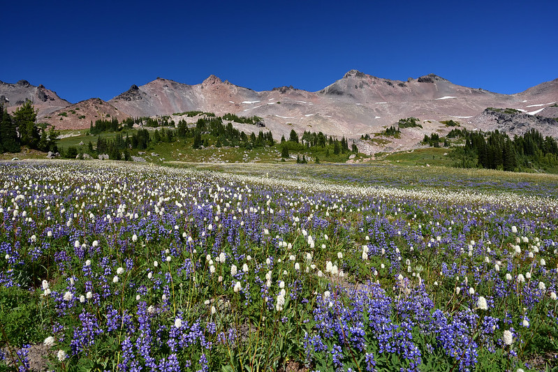
The wildflowers were fantastic:


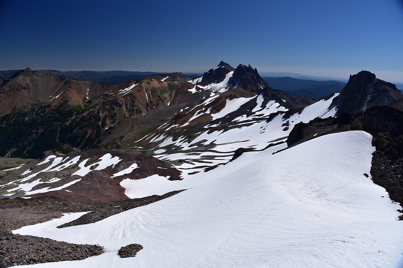
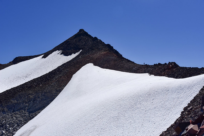
Soon Old Snowy came into view ahead of us:
We had some snowfields to cross:


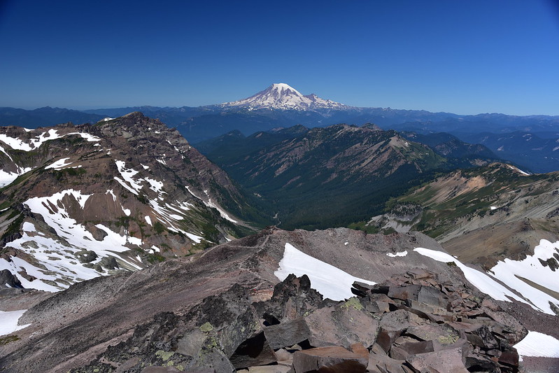
We started getting views of Goat Lake, with Mt. Rainier poking up behind:


We were lucky enough to spot this cute pika scampering over the rocks with some lupine in its mouth:


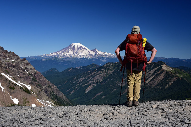
We started getting better views of Mt. Rainier:

Just before the junction with the trail to Old Snowy is a very nice spot with a great view of Mt. Rainier:
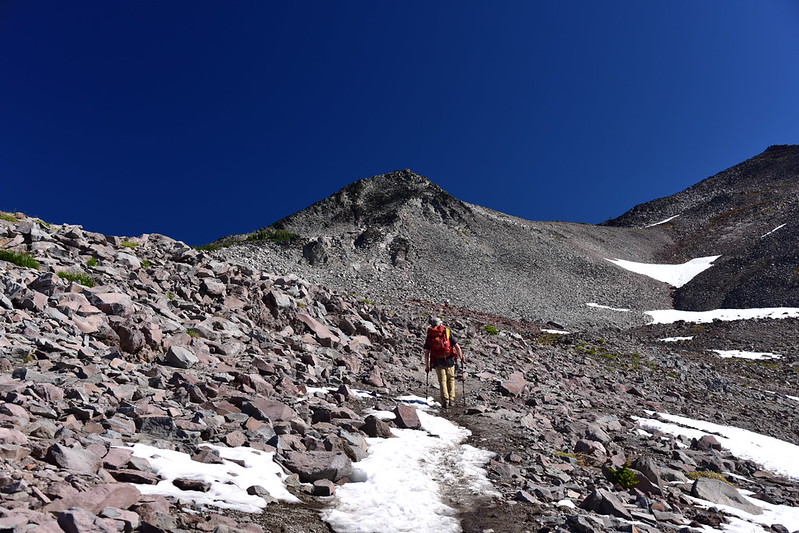
We started up the trail that goes up Old Snowy:

The trail is pretty well-defined at first. This is looking back along the trail with Mt. Rainier in view:

The last bit to the top involved some minor scrambling but it wasn’t much. Here’s a shot I got on the way down showing the scrambly bit:

The views up top were amazing! Mt. Adams and Mt. St. Helens:


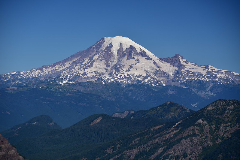
Mt. Rainier:
Looking north. Mt. Rainier is just out of frame on the left:
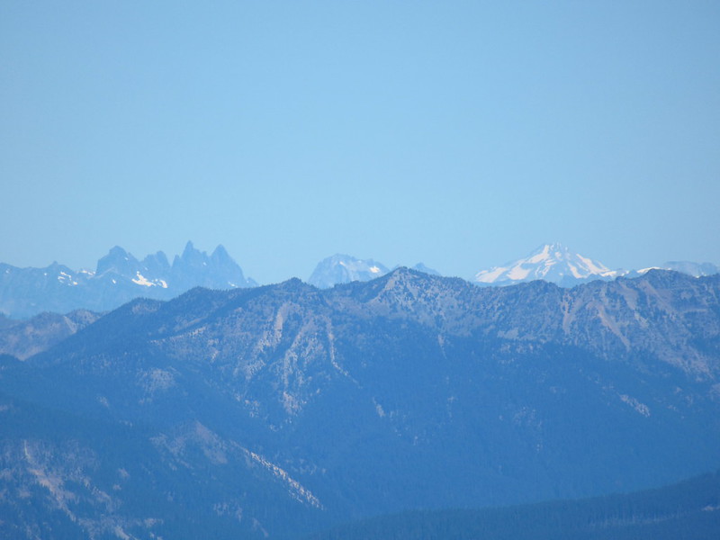
I zoomed way in with my point-and-shoot and could see Glacier Peak (at right) way in the distance:
Goat Lake:
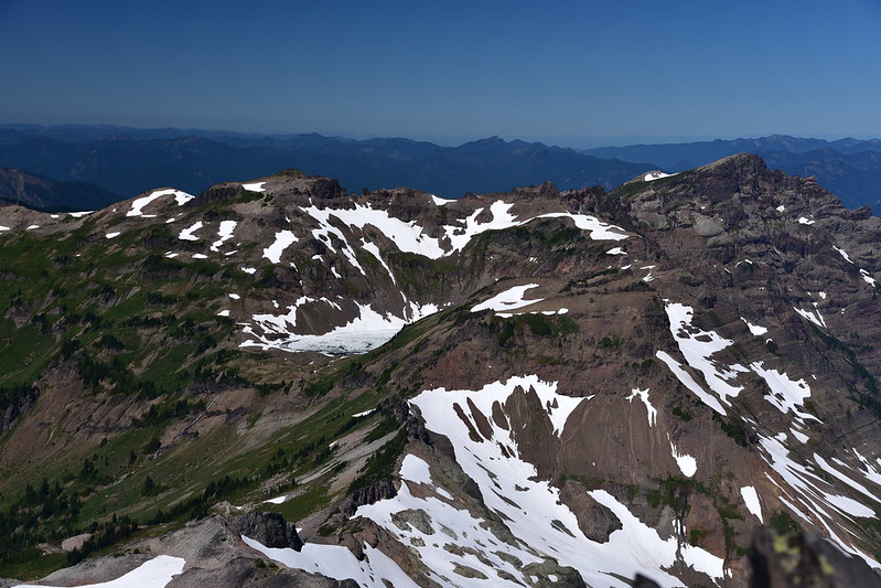
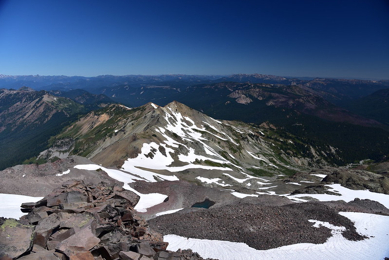
Looking southeast at the Goat Rocks:
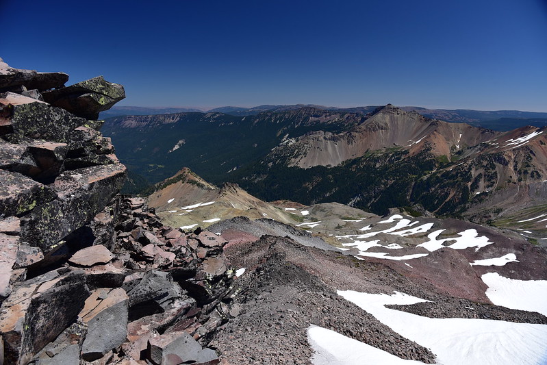
Looking northeast:
What a gorgeous day it was up there. We hung out on the summit for awhile soaking up the views before heading back down:

On the descent from Old Snowy we decided to take the alternate trail back to the PCT. This is looking back at Old Snowy behind us:
Descending to the PCT:

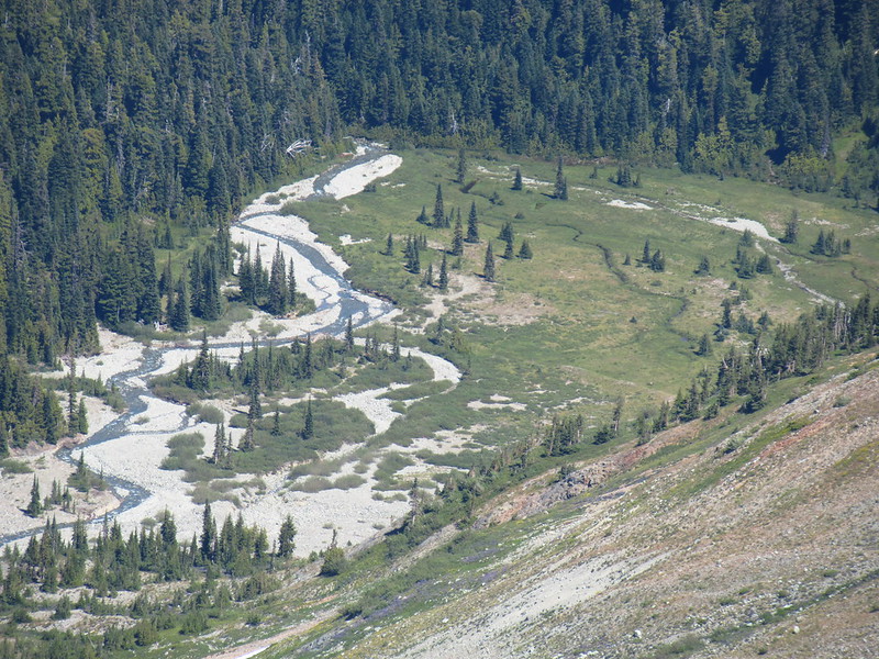
Looking down into McCall Basin:

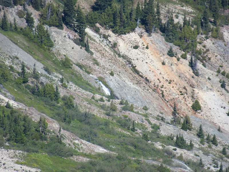
We could see a waterfall down there:
Admiring the view of Mt. Rainier:

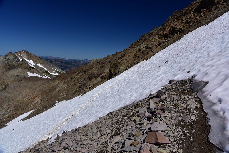
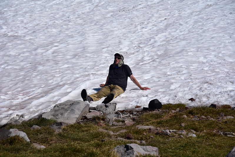
Back on the PCT we briefly considered going north for a short ways before heading back south to our camp at Snowgrass Flat. But it was a hot afternoon and we were getting low on water so we decided against it. On our way south we had to cross another snowbank. For some reason the established path across the snow was downhill from the actual trail, requiring some scrambling:
This snowbank near the junction of the PCT and Old Snowy trails was producing a nice little melt stream so we filtered water and cooled off:
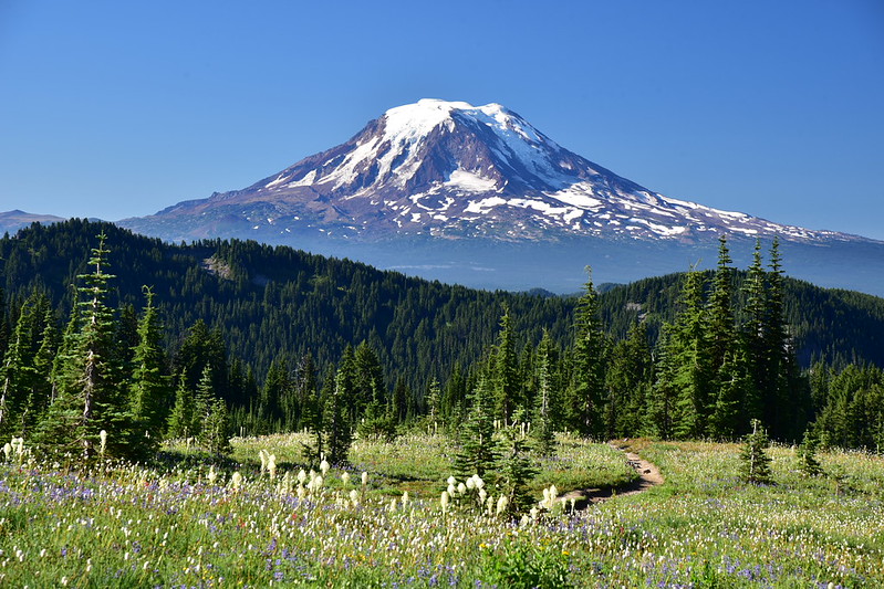
We got to enjoy the spectacular wildflower display all over again on the hike back to Snowgrass Flat:

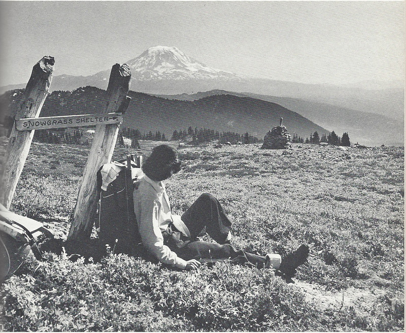
Later at home I came across this old photo in 100 Hikes in Western Washington. It shows a sign for “Snowgrass Shelter” which is now long gone:
View of Old Snowy:

We filtered water, ate dinner, and turned in for the night. The next morning there were clouds south of Mt. Adams:
They moved over the mountain and I wondered if a storm was coming our way, but I checked the weather on our InReach and no bad weather was predicted:

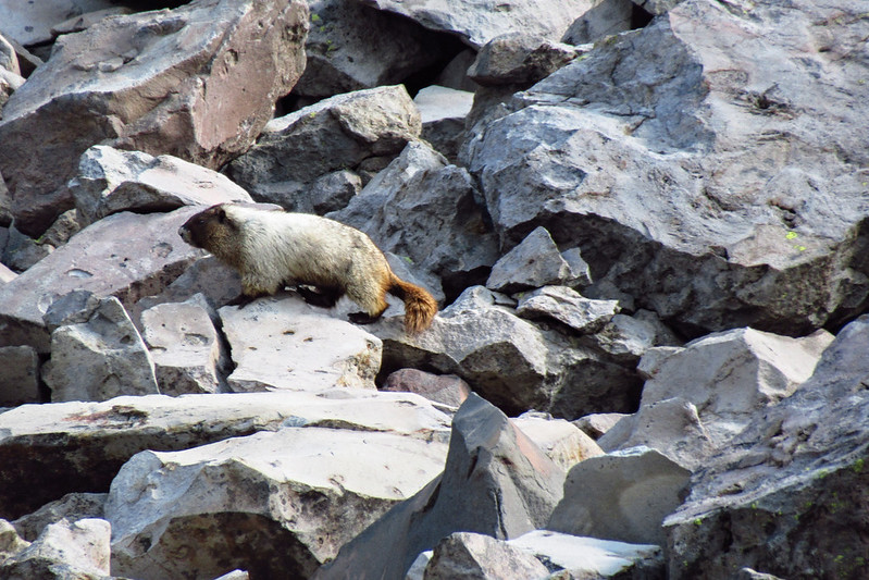
We packed up camp and headed out, hiking south on the PCT. When we reached the junction with the Bypass Trail we spotted this marmot:
We had considered making a detour to Cispus Basin before heading back to the car, but Greg’s blister from two weeks ago was bothering him so we decided not to do that. We headed down the Bypass Trail:


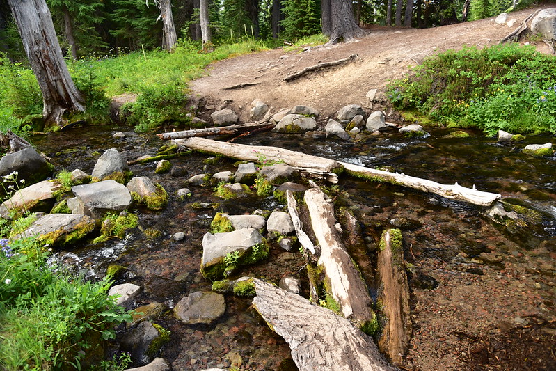
We crossed Snowgrass Creek:

|
I spotted this trail abandoned sign at the crossing:

Sure enough, on the old maps it shows a trail that once headed upstream along the creek here. Right after crossing the creek we reached the junction with the Snowgrass Trail and turned left for the last 3.9 miles back to the car. We saw hundreds of hikers going in both directions. There were just as many cars at the trailhead as there had been on Friday.
What a beautiful area! I would love to go back and explore more of the Goat Rocks Wilderness.
Gaia stats: 17.8 miles, 3,800′ elevation gain
Video:


