April 12-14, 2019
We spent the weekend with our friends in Troy and hiked the Wenaha River Trail:
Troy is a long way from nowhere. We headed east on Interstate 84, then north. The mountains had fresh snow on them:

From Highway 3 we got onto Flora Lane, which changed to Redmond Grade. This is what it looked like as we descended down to Troy:

Redmond Grade is a dirt/gravel road and steep in spots. I wouldn’t want to do this in wet weather:

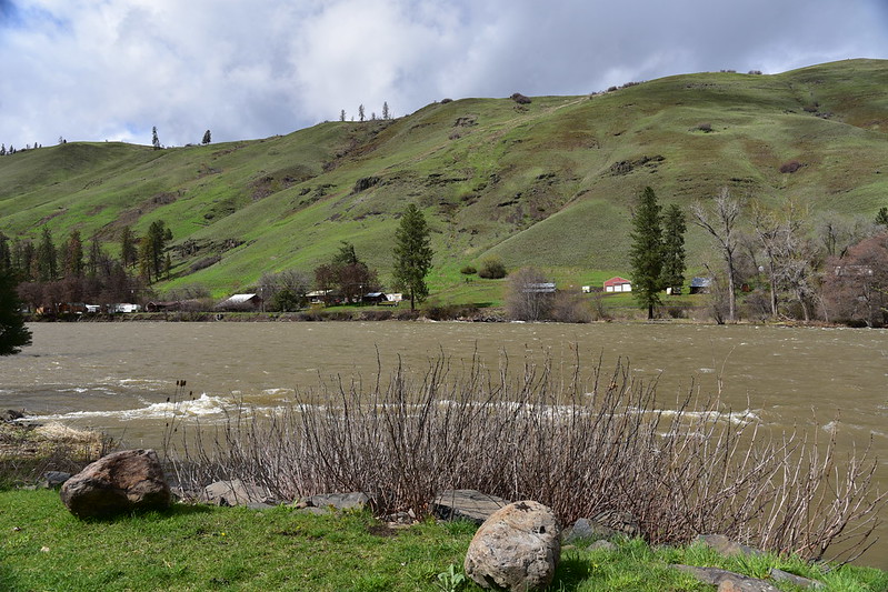
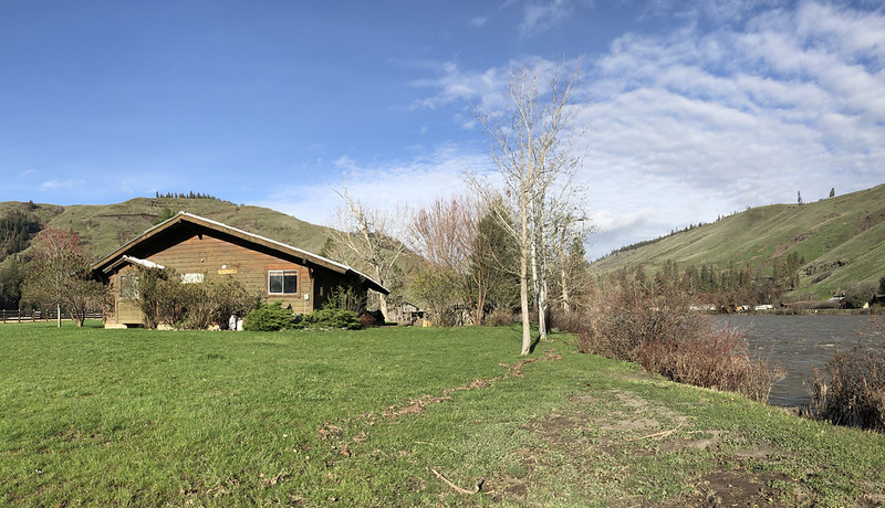
I get carsick easy so I was very glad when we finally arrive in Troy. Our accommodations for the weekend was a cabin once owned by John Fogerty and now available to rent through Airbnb. The setting is quite beautiful, and the Grand Ronde River is just a few feet away from the cabin. This was a bit of a concern because the area had been pounded by rain shortly before our trip and the river had risen quite a bit. But the water didn’t reach the cabin.


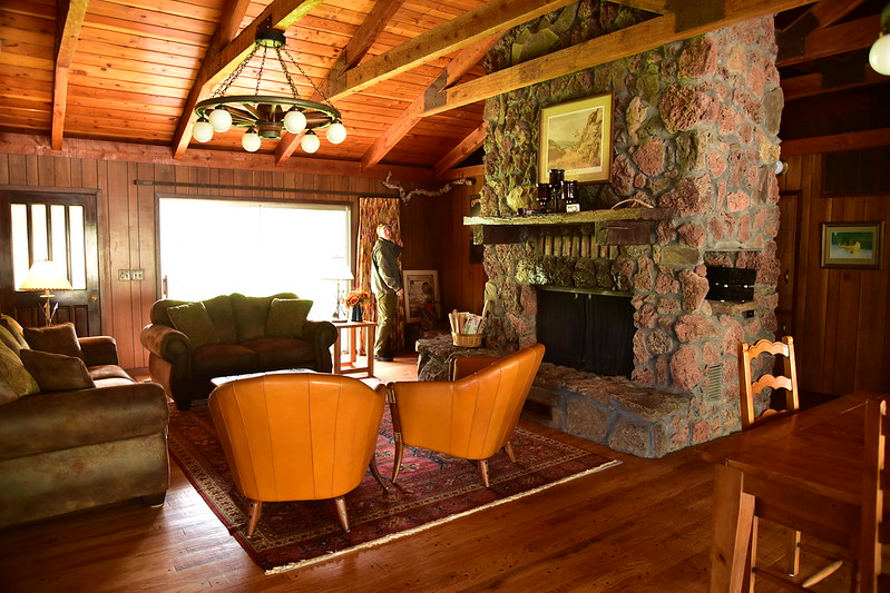

The decor was very 1970s:


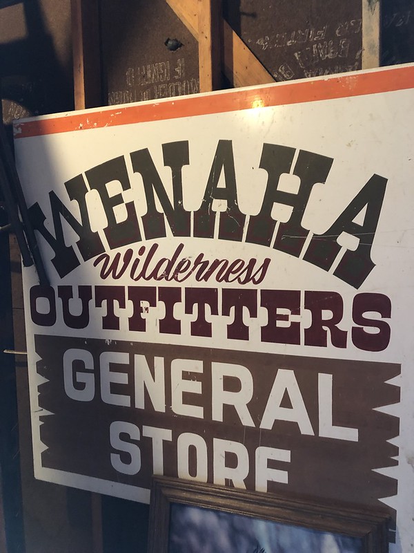
Cool old sign in the garage:
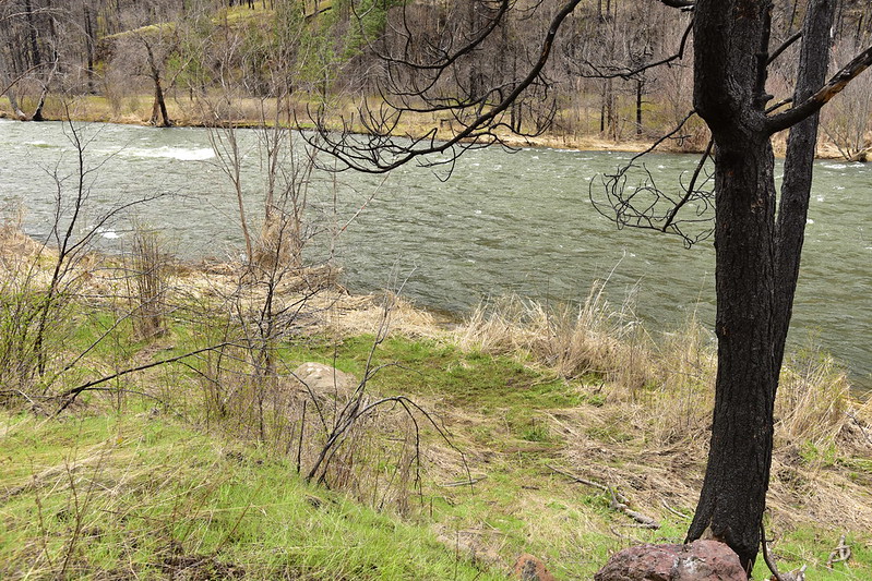
You can see the high water line in the foreground of this shot:
There was still some standing water in a low spot of the driveway but we were able to drive through it:

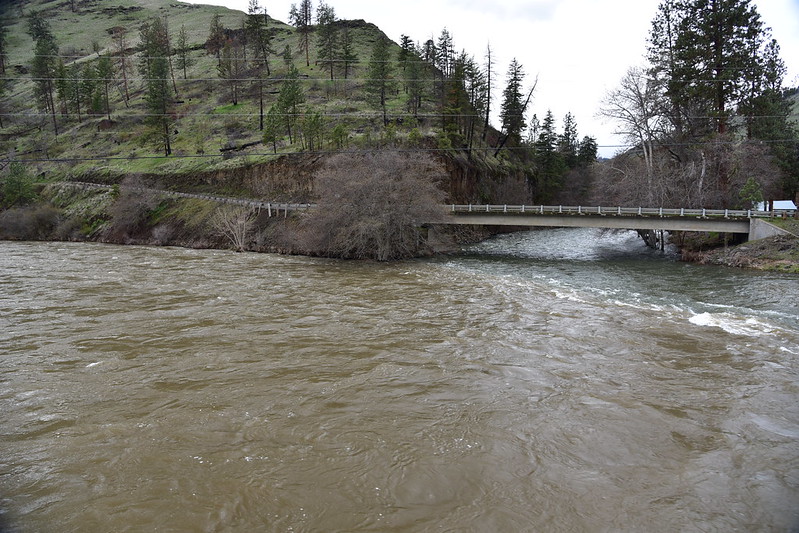
After getting settled we decided to take a walk. The cabin is on the opposite side of the river from Troy, so we walked over this historic 1910 bridge, only open to pedestrians these days:

From the bridge we could see where the Wenaha River flowed under Troy Road and into the Grand Ronde River:
This building is a place of many names: Troy Resort, Wenaha Bar & Grill, Shilo Inn Lodge & Cafe. It’s under new management according to this 2017 article:

We could see our cabin across the river:

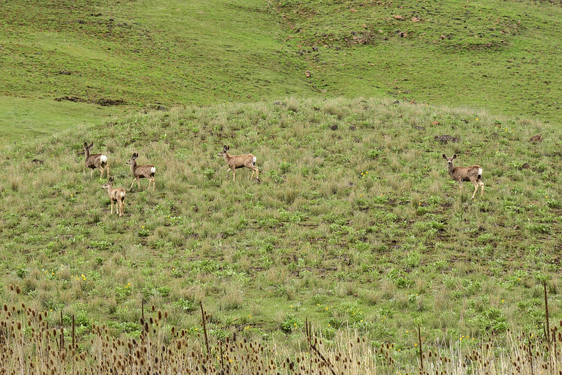
As we walked north along lonely Troy River Road we spotted some deer up on the hillside:
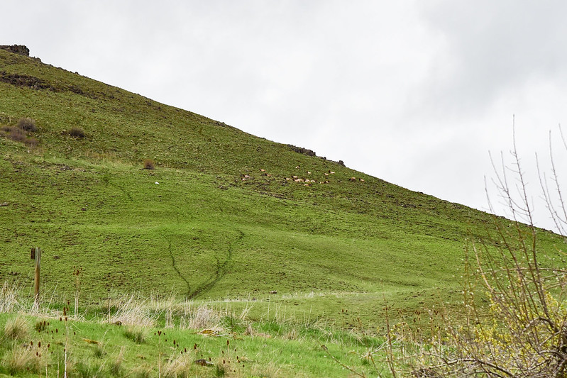
And then we spotted some elk:
Back at the cabin later we decided to drive up to Grouse Flat a wide plateau high above Troy and the Grand Ronde River. We made our way up there via Bartlett Road. On the plateau we passed Bartlett Union cemetery:

Then we went north on Grouse Flat Road, passed into Washington state, and turned left on Sheep Creek Area Road. We entered Grouse Flat Wildlife Area:

There wasn’t much to see there, plus we encountered some snow, so we turned around. On the way back down Bartlett we saw some white tailed deer:

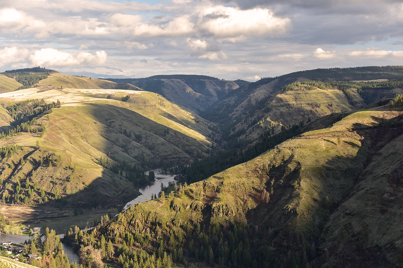
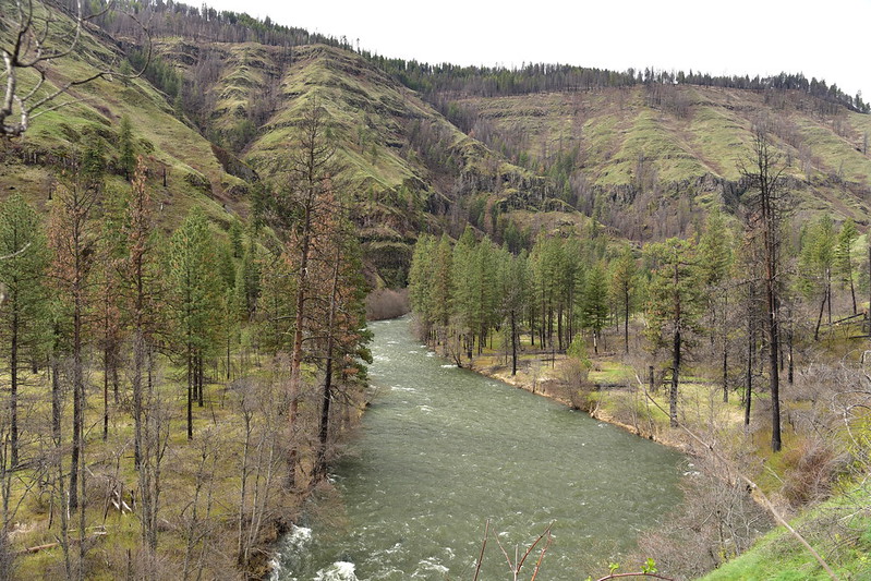
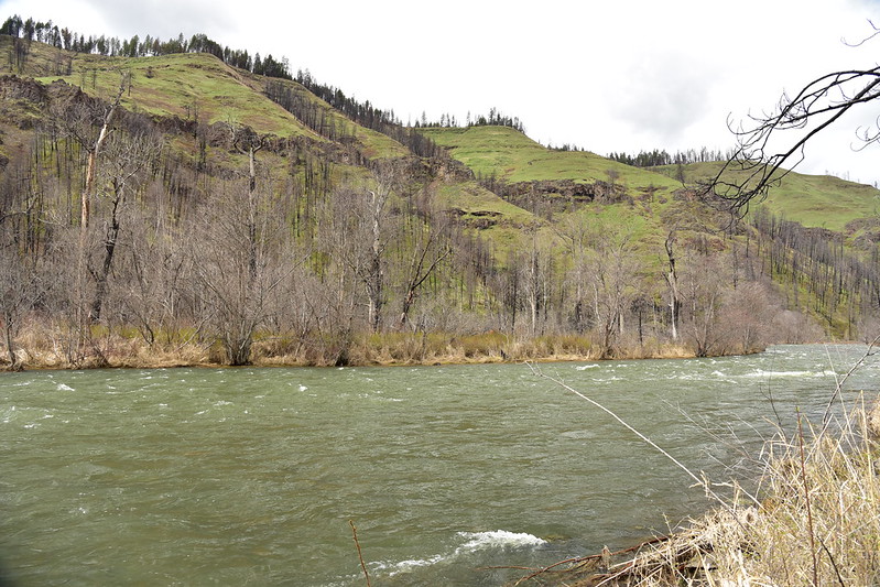
As we descended back down to town we had a view of the river and hills:
Saturday morning was beautiful because we had some brief sun breaks. This was our view across the river from the cabin:

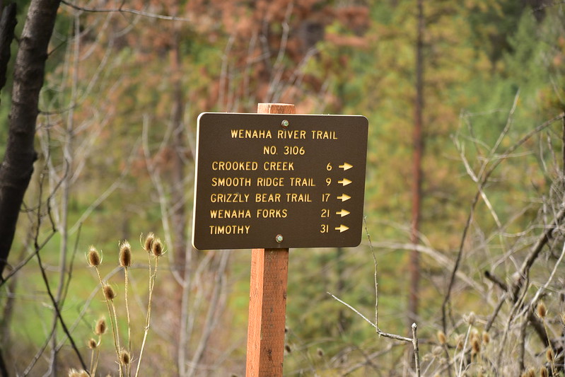
After breakfast we set off on a hike down the Wenaha River Trail:
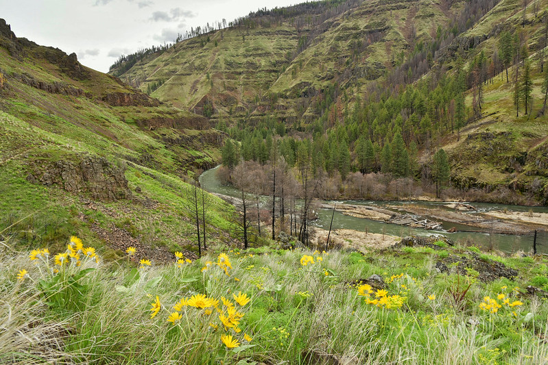
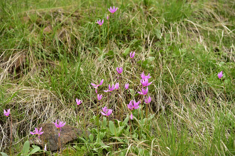
We got lucky with the wildflower timing! We saw lots of balsamroot:


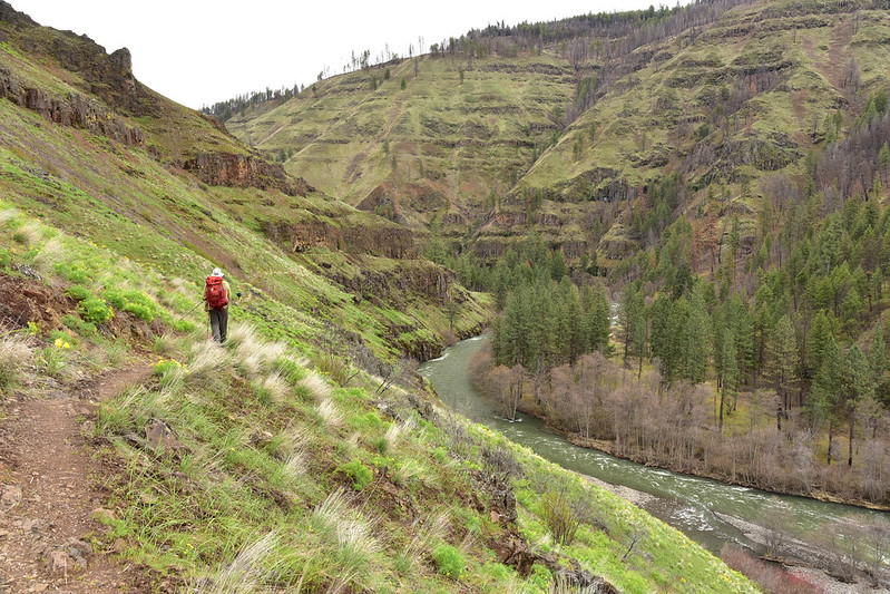
The trail traverses the slope high above the river in a really pretty canyon:


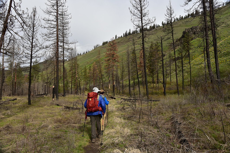
Then we descended to a flat area with burned trees from the 2015 Grizzly Complex Fire that swept through here:
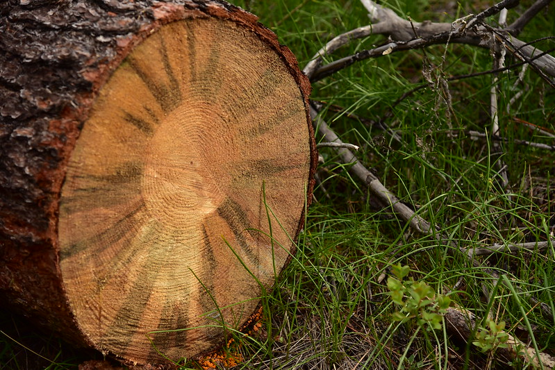
We saw signs of recent trail maintenance, including sawed trees that had fallen across the trail:
And cut brush:

The trail rose back above the river again:

Looking back from whence we came:

We were now below an old decommissioned road and started seeing old car parts that had been tossed from that road a long time ago:

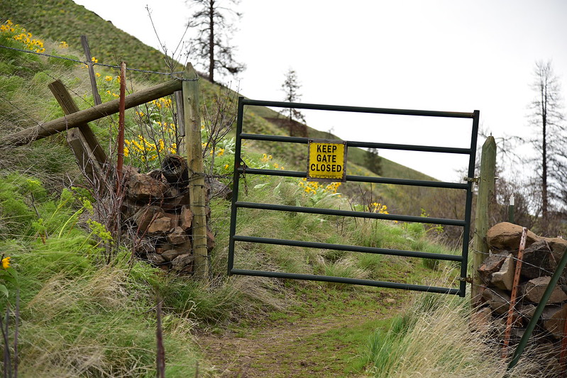
We passed through a gate:

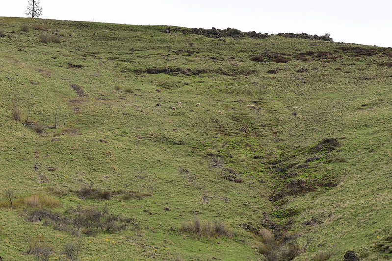
Then we spotted a herd of bighorn sheep high on the canyon wall across the river. Cool!

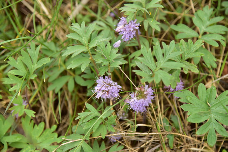
We saw quite a lot of ball-head waterleaf:
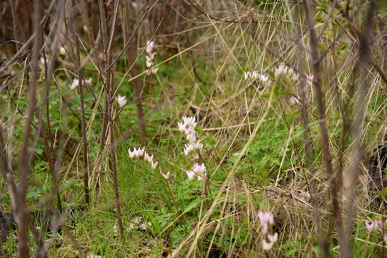
And dutchman’s breeches:
And some shooting stars:
This fallen tree was a bit tricky to navigate around:

Such a pretty canyon!
We crossed that old decommissioned road. It descends from above and continues to a nice-looking flat area down by the river:

The views up the canyon were really pretty:


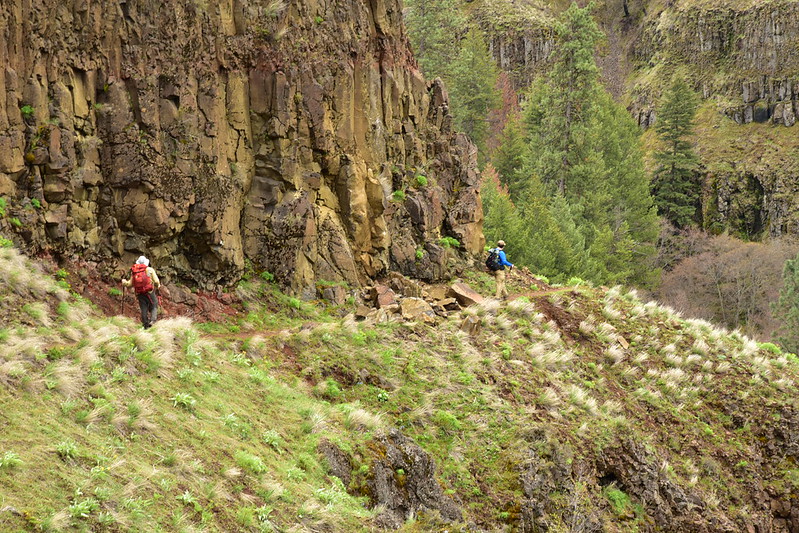
Looking back at a spot where the trail is carved out of the cliff:

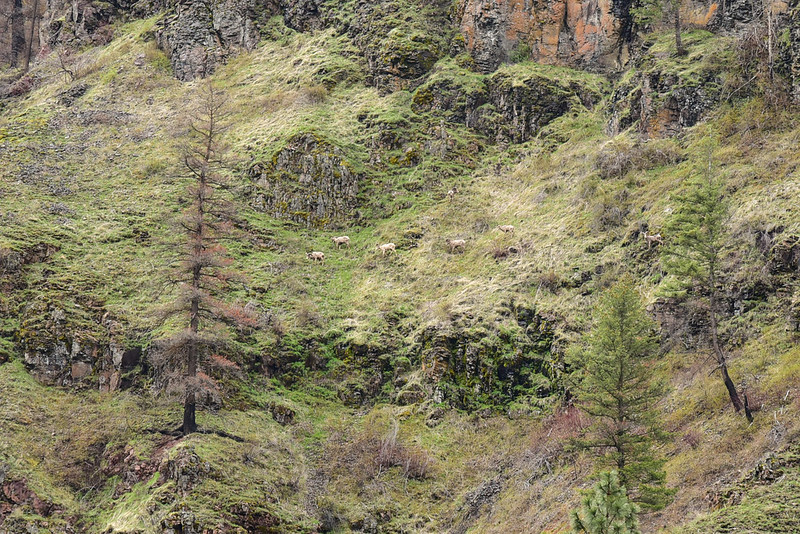
We spotted another herd of bighorn sheep, this time on our side of the river:
At 2.7 miles we reached the Umatilla National Forest Boundary. The sign was weathered and fallen down:

We could see across where to water was flowing out of Dry Gulch (not so dry today!):

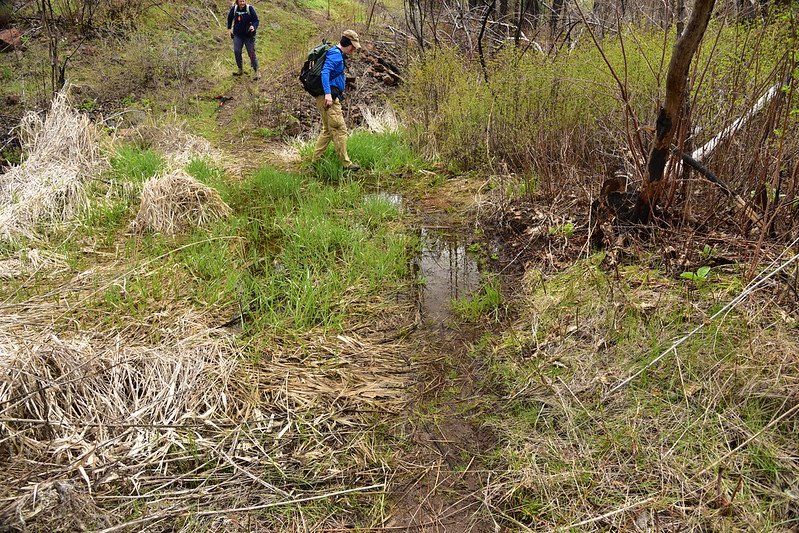
The trail switchbacked down to river level again where we had a bit of flooded trail:
We hiked through a flat area of scorched trees:

We reached a point where we were ready to turn around so we found a flat area by the river:
Had a nice view across:
Heading back:


Hikers heading in told us about a rockslide that had just had occurred on the trail, and indeed as we approached the section where the trail is carved out of the cliff we could see it. Here’s the photo from earlier when we were hiking in:
And here is how it looked on the way out:


Home stretch:

What a pretty hike! The trail is 31 miles long, but about 6.5 miles from the Troy Trailhead (where we started), there is no longer a bridge over Crooked Creek thanks to the Grizzly Complex Fire in 2015. I later called the Pomeroy Ranger District to ask them if there were plans to replace the bridge. They said they want to, but the funds aren’t there. Because it’s in wilderness, the bridge has to be constructed off-site and then helicoptered in. They hope to get a grant, but predicted it would be 5-10 years before the bridge is replaced.
We packed up and headed back Sunday morning. As we drove back up out the canyon we saw a huge herd of elk on the hill above Troy:

And we got a nice view of the Grand Ronde River:

We saw some white-tailed deer:

And wild turkeys:

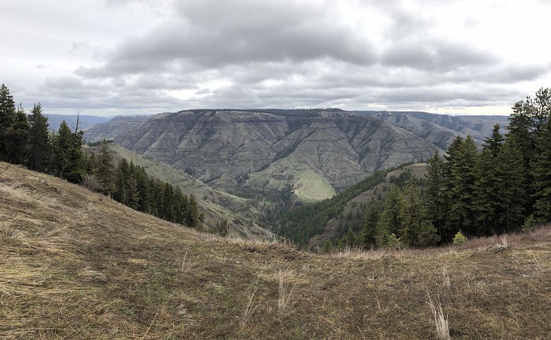
We stopped at the Joseph Canyon Viewpoint and took in the view. The snow has only just melted here:
Fun weekend! Troy is a long way from nowhere but it’s a really pretty area. I’d like to visit again.


