August 10, 2017
Rough night. To our surprise the baby at the campsite next door was not who kept us up. It was the toddler. He woke up screaming and crying at 2am. And at 3am. And several times after that. Sleep was elusive for everyone around.
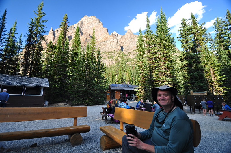
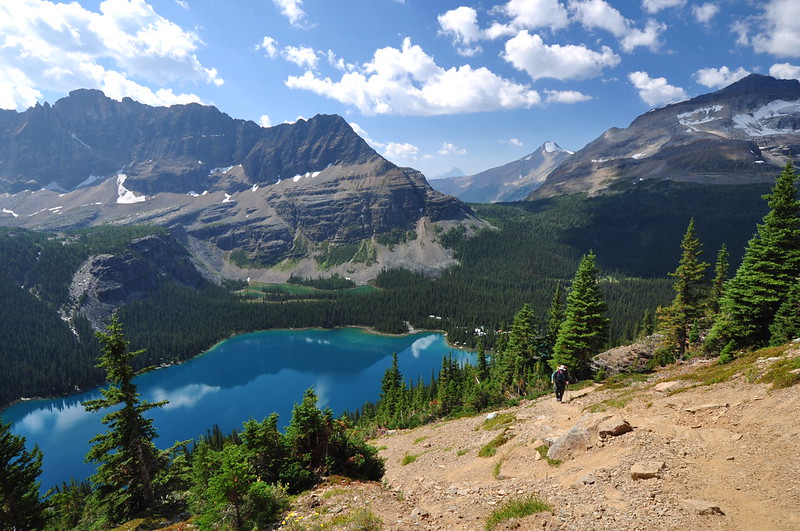
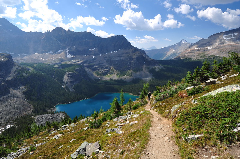
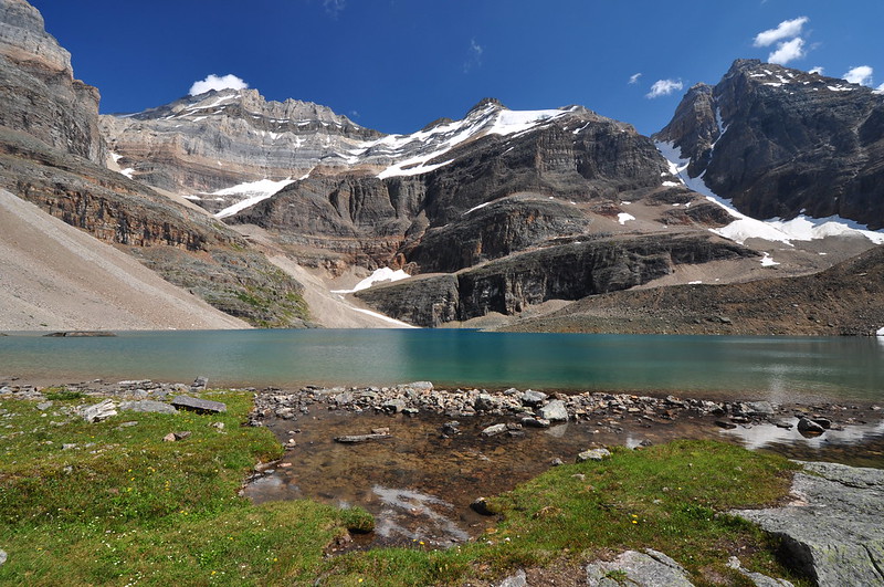
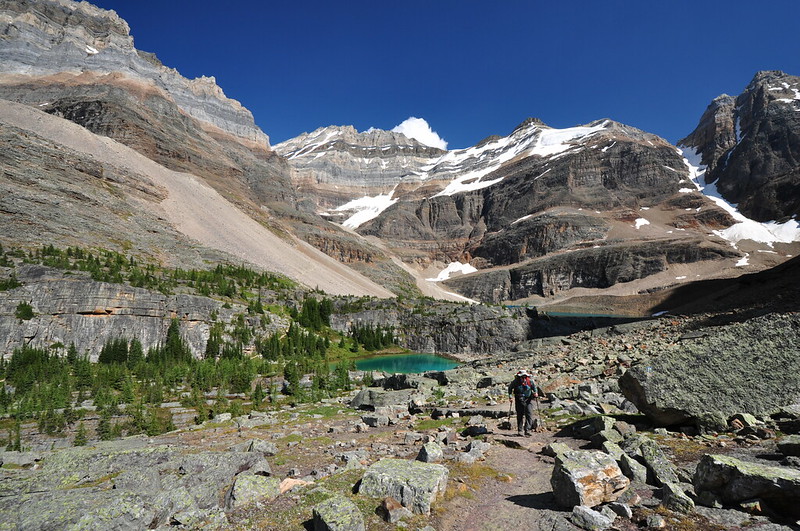
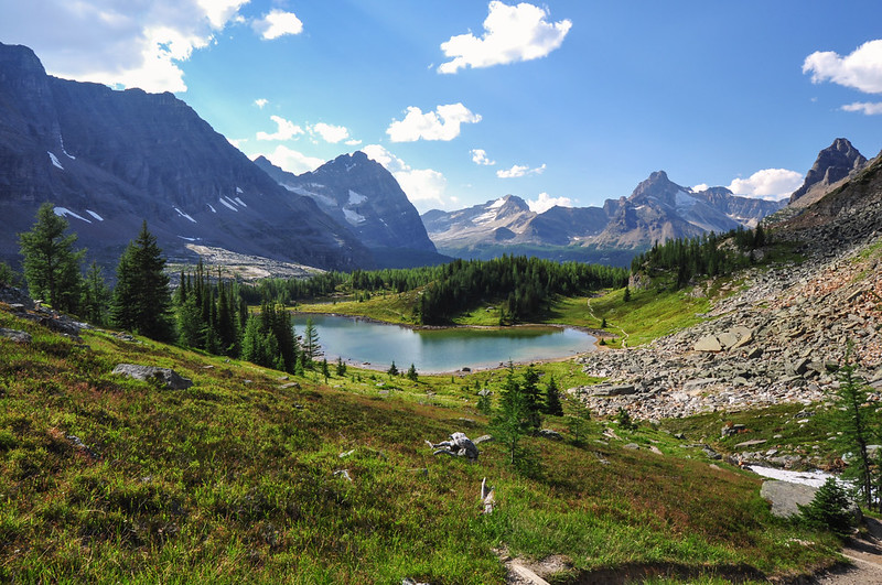
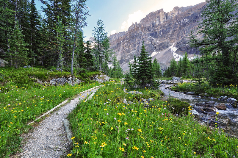
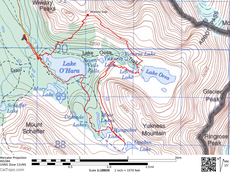
Greg wanted to sleep in, so we didn’t hit the trail until late morning. Today our plan was to hike the Alpine Circuit clockwise (the Alpine Circuit utilizes sections of Lake O’Hara’s trail network to create a spectacular loop hike). We set off toward Lake O’Hara from the campground, hiking the road this time to avoid the root-plagued trail along Cataract Creek. It was a beautiful morning at the lake:
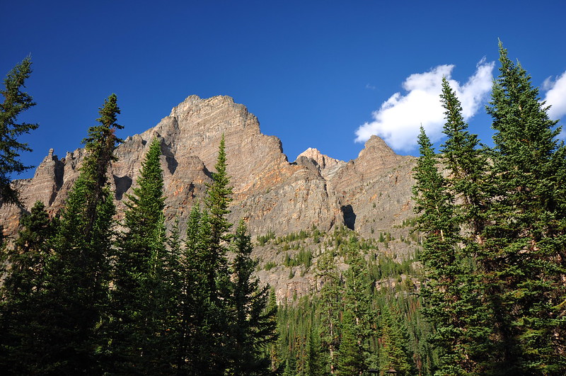
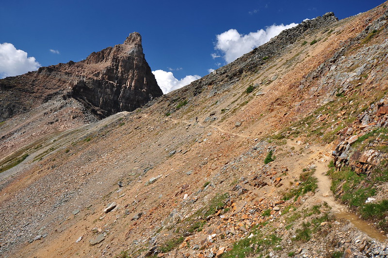
The Wiwaxy Gap Trail climbs steeply from the lakeshore, switchbacking up an avalanche chute. This means no shade, but it does mean good views. And we had beautiful smoke-free skies. Yay!

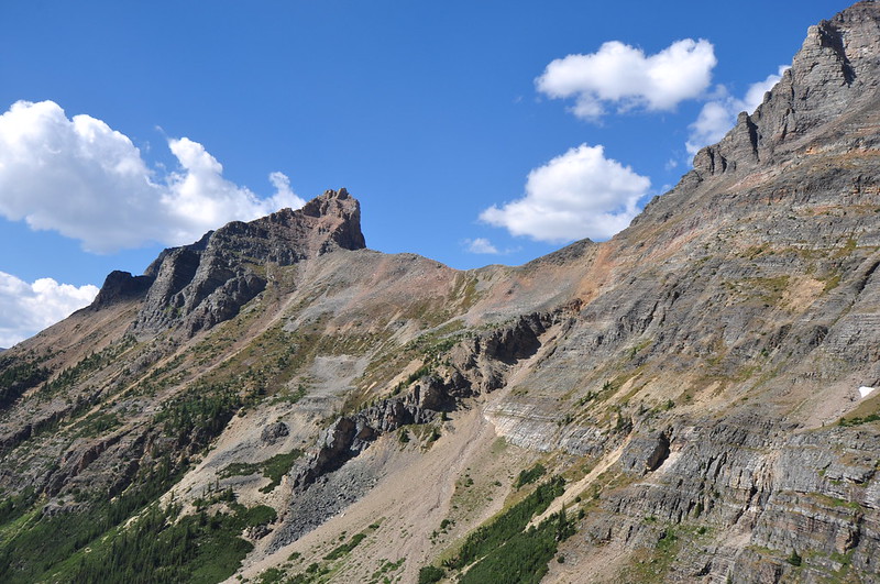
After launching up the avalanche chute the trail traverses the slope for a bit:
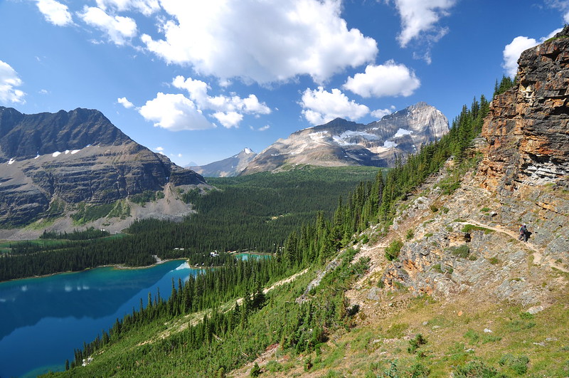
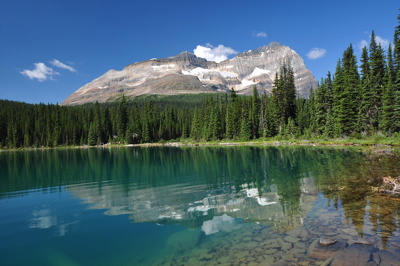
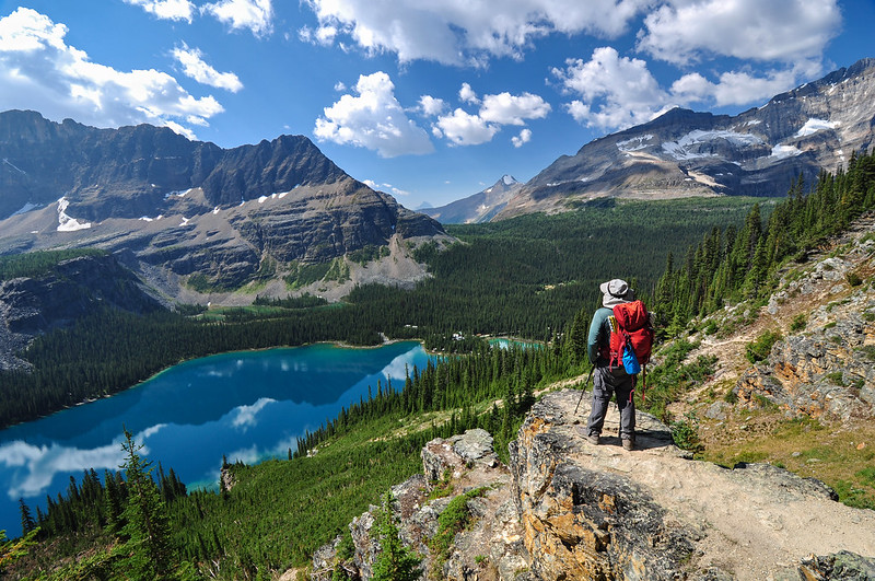
The views were spectacular:
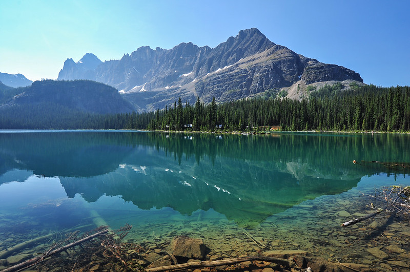
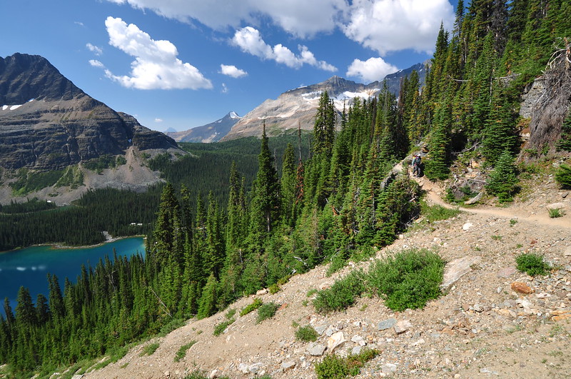
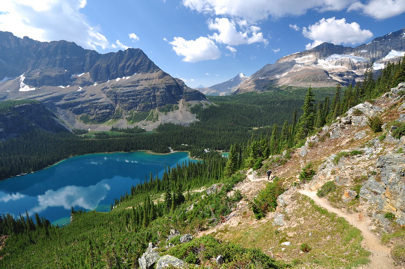
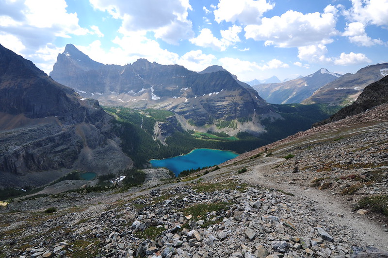
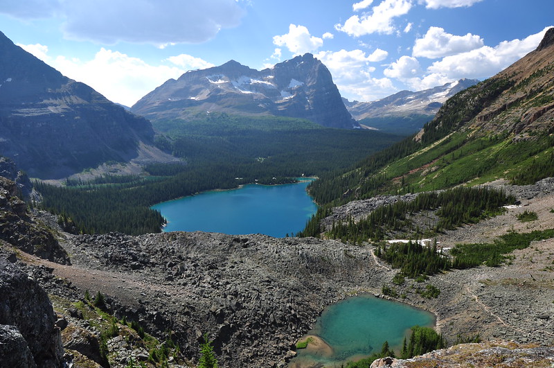
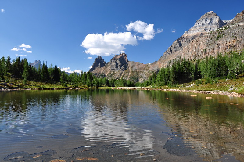
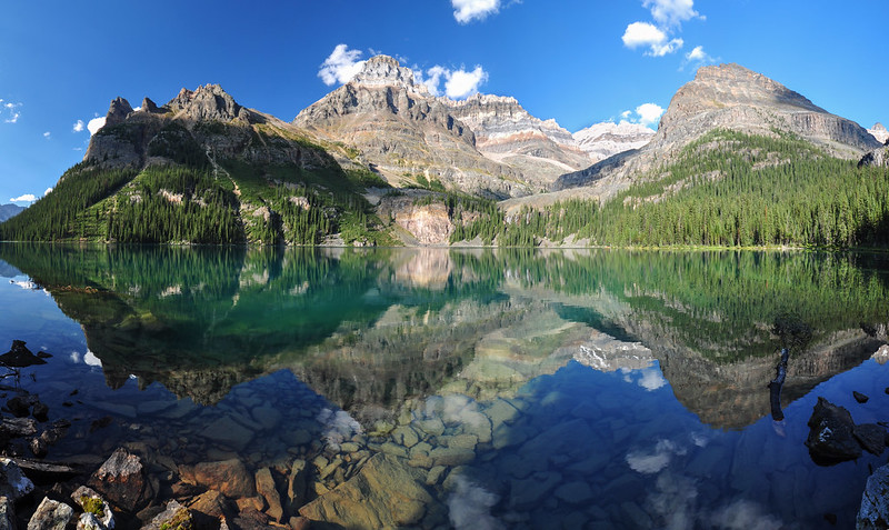
We could see Lake Oesa where we were the day before (and we’d actually be passing by it again today). Lake Oesa left of center with Lake O’Hara on the right:
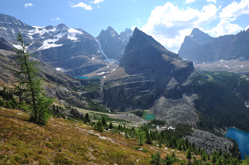
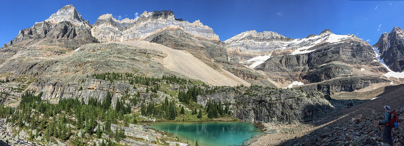
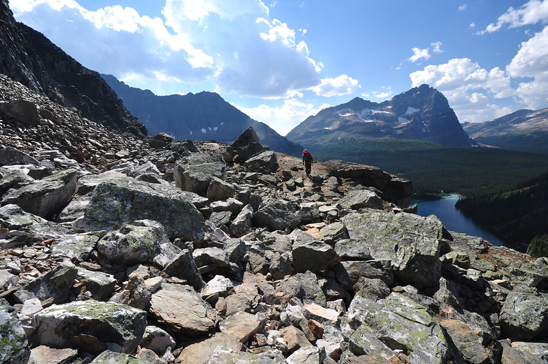
At some point along this stretch Greg got a good shot of the lake trio with his zoom lens. The trail we did yesterday can be seen snaking up between the lakes. The Yukness Ledges route we’ll be taking soon can be seen on the rockslide beyond the lakes:
Then the trail climbs up, up, up an open slope:
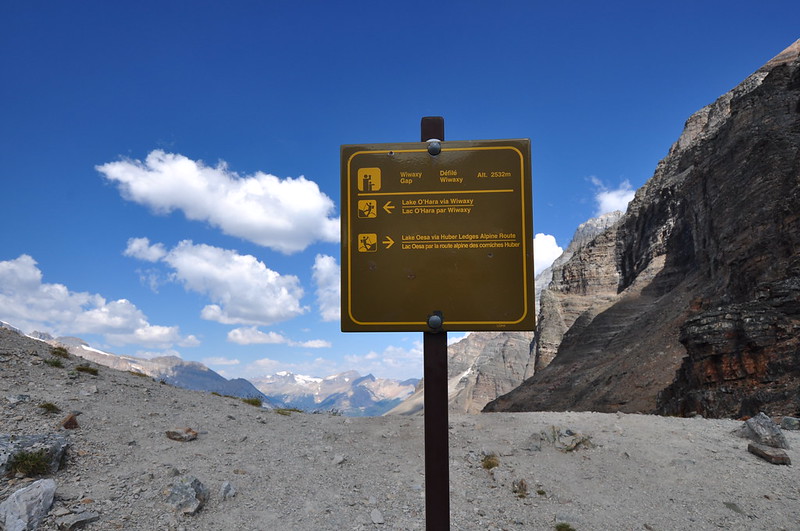
And we made it to Wiwaxy Gap at 8,300′, after gaining 1700 feet of elevation in just one mile. Whew!
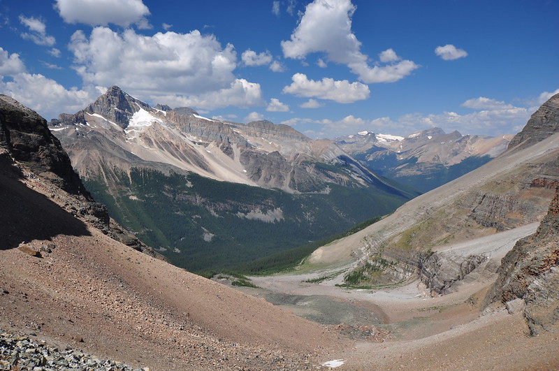
From the gap we had a nice view looking north. The valley down there is where the Lake O’Hara access road is:
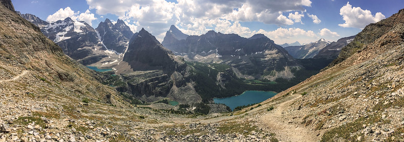
An iPhone panorama from the gap. Lake Oesa on the left; Lake O’Hara on the right. The trail on the left is where we’re headed next:
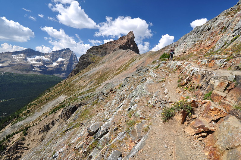
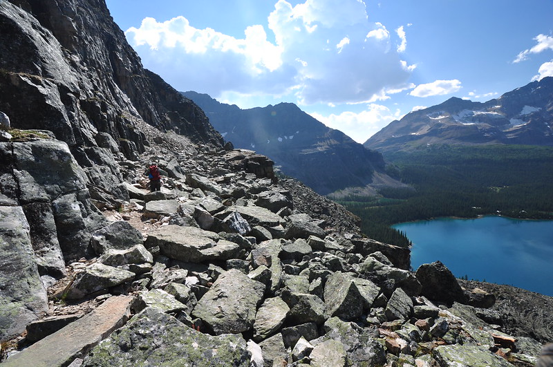
After taking a breather, we continued on. This stretch of trail traverses the lower slope of Mt. Huber and is known as the Huber Ledges. Looking back towards Wiwaxy Gap:
You can see why they use the word “ledges” in this route’s name:
Greg got a shot of me hiking towards the lake on the ledges:
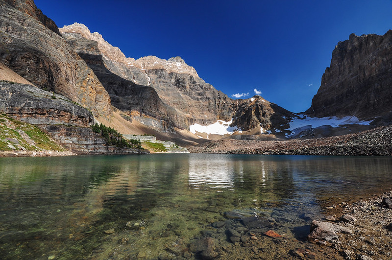
Descending to Lake Oesa:

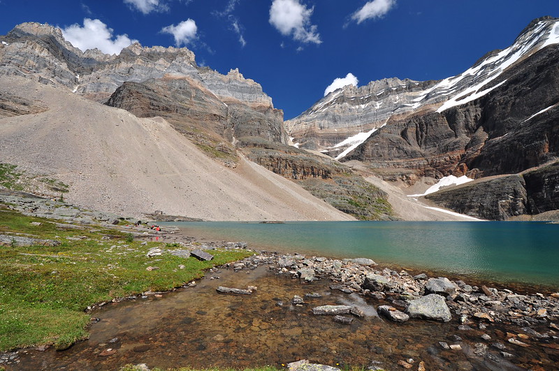
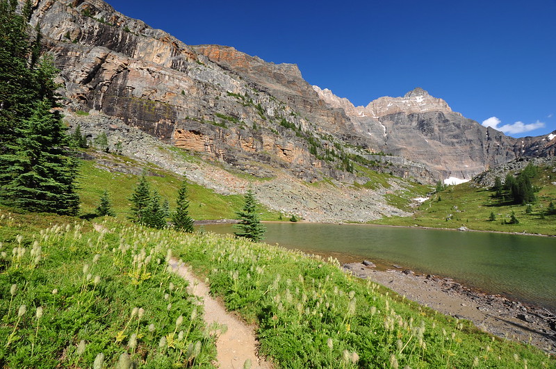
We didn’t linger long since we had been here the day before. We still had a ways to go yet and it was almost 3:00. But we did pause to take in the view:
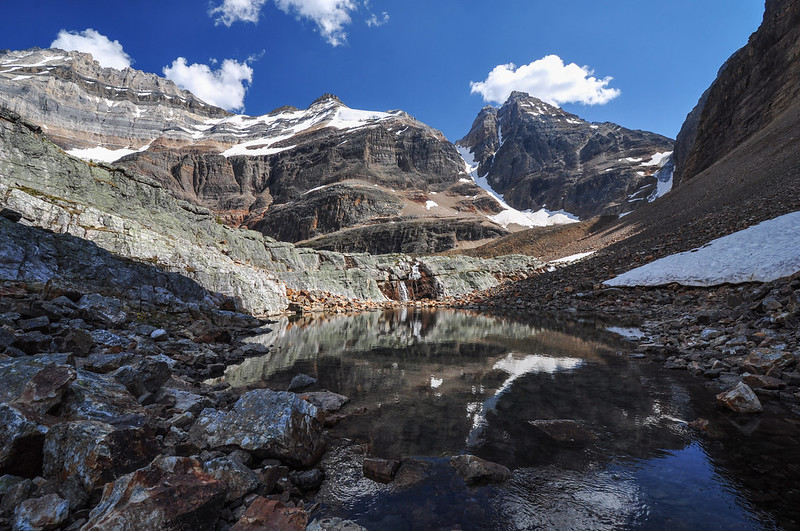
We filtered water at the lake’s outflow, where the creek pooled a bit. Very pretty:
On the scree slope you can see the route we just came down:
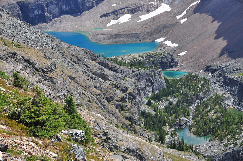
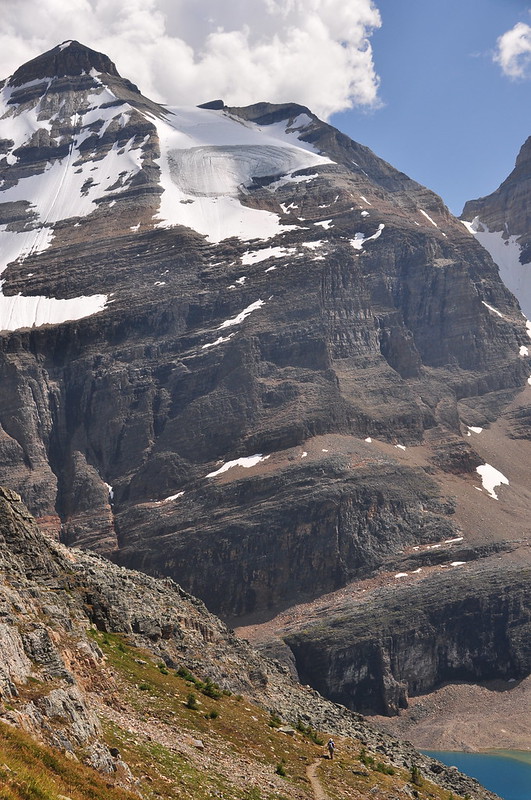
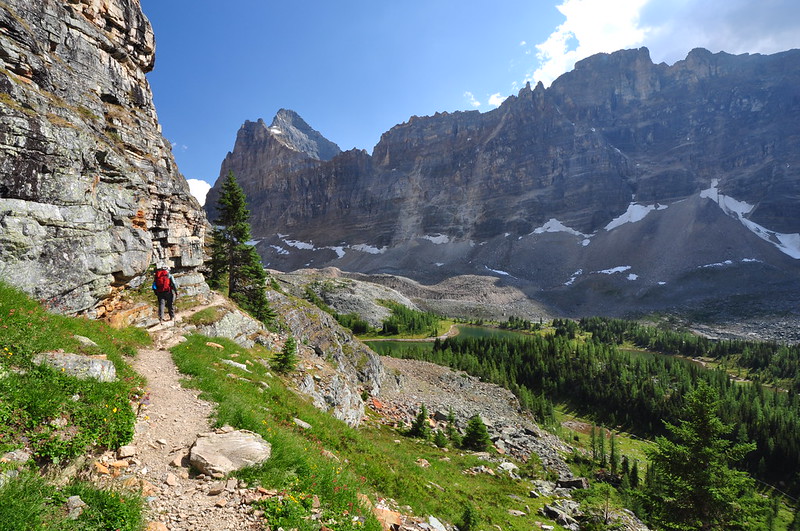
Now we were on the Yukness Ledges Trail. Looking down on Lefroy Lake, which we saw yesterday:

Looking back towards Lefroy Lake and Lake Oesa:
Across the way we could see the superb trail construction on the Lake Oesa Trail we had done the day before:

Looking across to where we were earlier. The lowest part is Wiwaxy Gap, and you can just make out the Huber Ledges Trail heading right from there:
Looking down on Lake O’Hara and Yukness Lake. The trail you see is the one we did yesterday to Oesa:
Yukness Ledges:

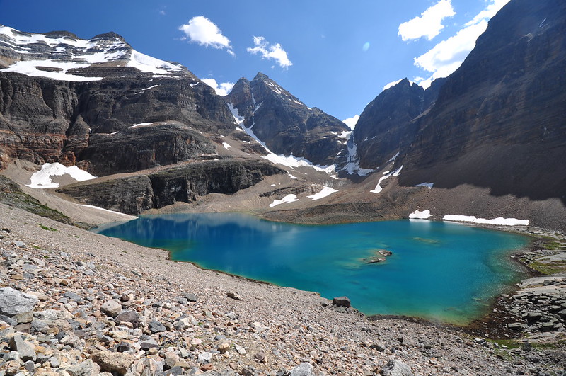
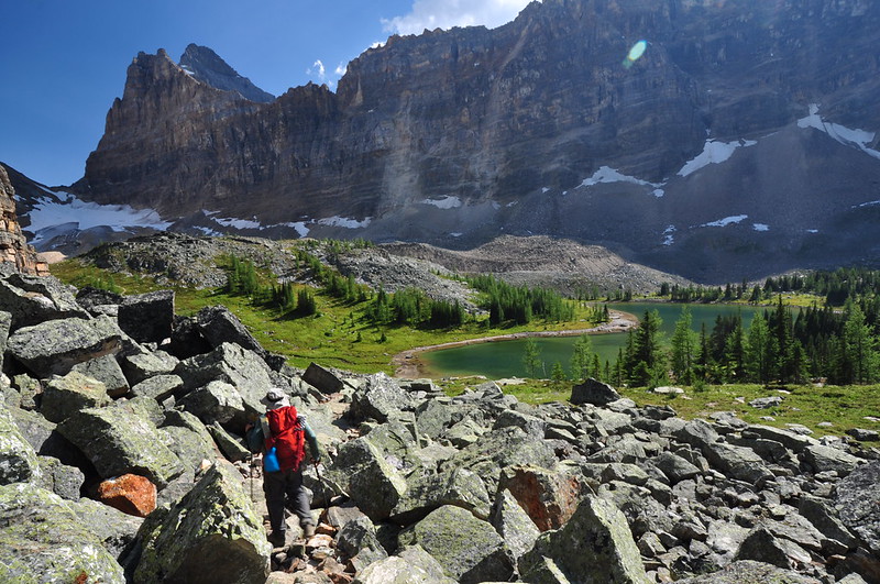
Descending to the Opabin Plateau:
The trail deposited us on the East Opabin Trail at Hungabee Lake. I took the quick side trip up to Opabin Lake while Greg stayed behind to photograph the flowers.
Heading back down to Hungabee Lake:
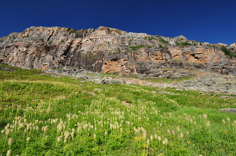
Wow, there were a lot of pasque flower here!
Originally we had thought about finishing the circuit by taking the All Soul’s Route over to Shaffer Lake, then taking the Alpine Meadow trail back Lake O’Hara. But we had gotten way too late a start and we were tired, so we decided not to do that part and just go back via one of the Opabin trails. Greg wanted ice cream back at the lake so he booked it down the East Opabin Trail to get to the day shelter before it closed. I wanted to see more of the Opabin Plateau so I took the slightly longer way back via the Opabin Highline Trail.
Another shot of Hungabee Lake:
Moor Lakes:

The light is TERRIBLE in this shot, but the scene is still pretty. This is looking down on Cascade Lakes:

Wildflowers near Cascade Lakes:
Then I hooked back up with the East Opabin Trail and descended very steeply to Lake O’Hara. Following the Lakeshore Trail back to the shelter where I planned to meet Greg, I was treated to a magnificent view of the mountains towering above Lake O’Hara.

Hard hike, but definitely worth it. Eight miles with 2,800′ elevation gain:
Time for dinner! Chedder herb pasta courtesy of Mary Janes Farm.