May 1, 2017
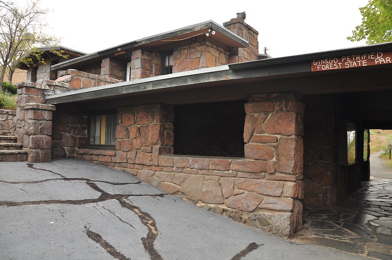
Today was our last day and since it would only take a few hours to drive home we visited several places first. Yesterday we had stopped at the Ginko Petrified Forest State Park visitor’s center. They had some good interpretive displays and a film explaining the whole petrified tree thing. The center sits on a bluff above the Columbia River. It was hard to stand out here and enjoy the view, though, due to the exceedingly high winds.

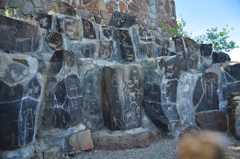
Outside the visitor’s center were these petroglyphs on display. The Vantage Petroglyphs were originally located along the Columbia River about one mile north of here. At one time over 300 separate figures were visible on the basaltic columns. These petroglyphs are considered one of the best examples of petroglyphic art in Central Washington. They were removed from the original site, now under the waters of Wanapum Lake.

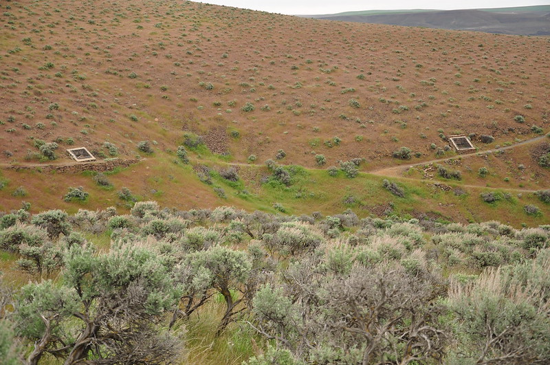
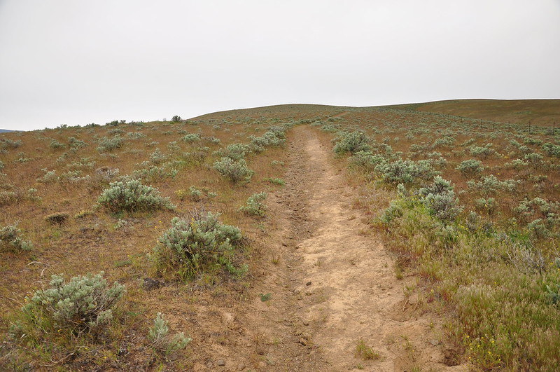
Today we hiked the interpretive trail a few miles west of the visitor’s center. Along this trail are numerous examples of petrified trees protected by these stone enclosures. 12 to 17 million years ago lava poured out of cracks in the earth. The silica-enriched lava flows covered 63,000 square miles, burying this area. One of these flows spilled into an ancient lake that once existed here. As the lava cooled around the water-soaked logs, the silica from the lava slowly replaced organic cells in the trees. Over time these trees became petrified, and today you can see some some along this trail:

The high winds yesterday brought a mess of clouds and it was totally overcast today:
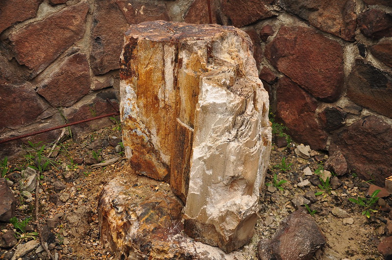
The ginko tree appeared more than 150 million years ago and still grows today, although it still lives only because of its cultivation in gardens. Nowhere in the world does it exist in its wild state. This is petrified ginko:
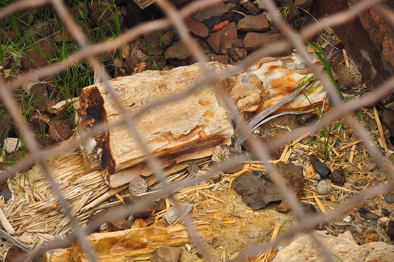
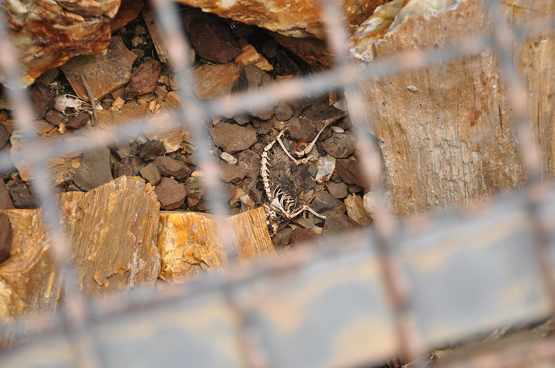
The enclosures at Ginko Petrified Forest State Park are good for protecting the trees but not so good for any creatures that fall in and can’t get out.
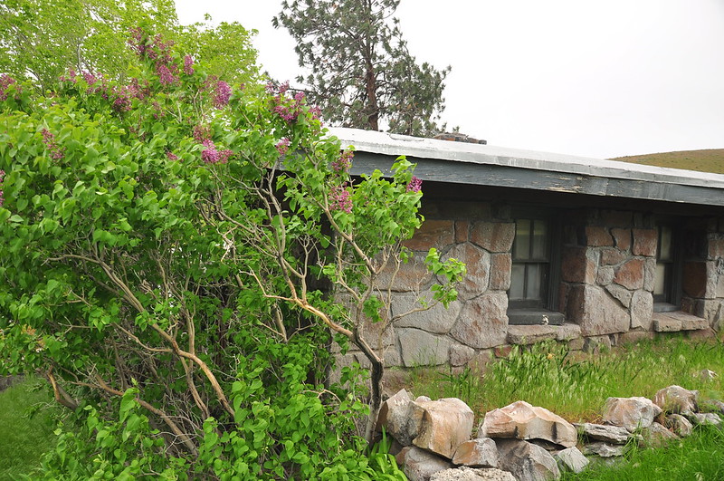
There’s an old ranger house at the trailhead for the interpretive trails. It was built by the Civilian Conservation Corps in 1938. It’s in good shape although it doesn’t appear to be used anymore.
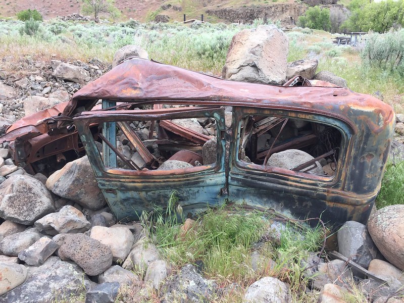
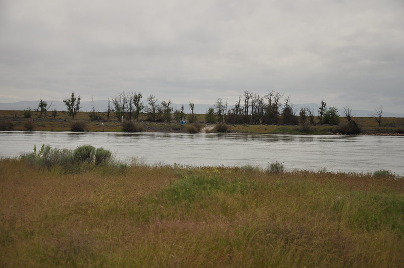
Before leaving Vantage we went down to see the Rocky Coulee Recreation Area, which turned out to have a campground we didn’t know about:

It also had the remains of this old rusty old wrecked car:

The road ends at this recreation area, but there used to be a river crossing here. First a ferry in 1914 then a bridge in 1927. That bridge was dismantled when the Interstage 90 bridge opened just downstream in 1962.
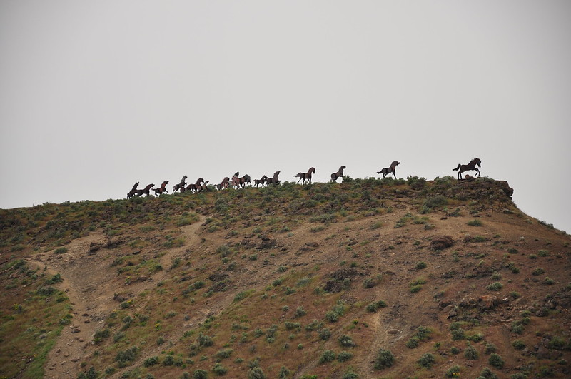
Over on the other side of the river we visited the Wild Horse Monument just off the freeway. This neat outdoor artwork was created by Spokane artist David Govedare in 1989 for Washington’s Centennial Celebration. It’s located on a hill above Wanapum Lake, just off Interstate 90. Unfortunately the horses have been defaced by quite a lot of graffiti.
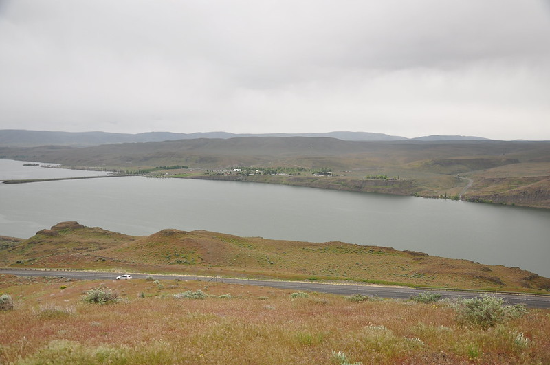
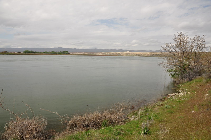
From there we could see back across to Vantage where we had just been. You can see the road on the right dead-ending at the old river crossing where Rocky Coulee Recreation Area is now:
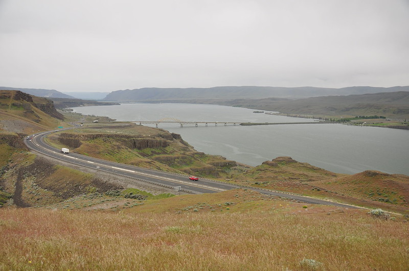
The Interstate 90 bridge:
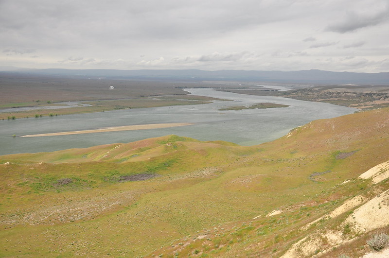
From there we drove southeast over to the Wahluke Unit of the Hanford Reach National Monument. We followed a gravel road south from Highway 24 down to a viewpoint that looked out over the Columbia River and the Hanford Nuclear Reservation:
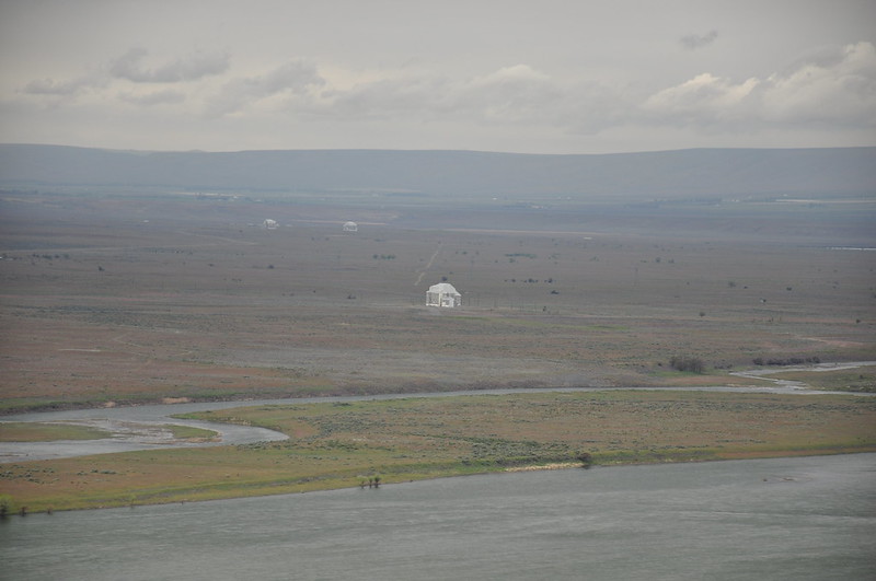
Hanford, of course, was the epicenter of the Manhattan Project. Plutonium manufactured at the site was used in the bomb detonated over Nagasaki, Japan in 1945. Today they are working on cleaning up the site, but it’s quite an undertaking. The white building in the foreground is the F Reactor:
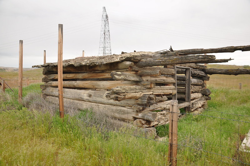
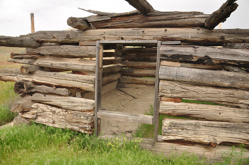
We took a side road off the gravel road down to a boat ramp. According to a sign here, this cabin is one of the oldest buildings in Franklin County. It was part of the White Bluffs settlement, and the community included a Wanapum village, ferry, army depot, saloon, trading post, warehouse, and houses. White Bluffs became an important transportation hub where supplies shipped by steamers from The Dalles were loaded onto pack trains destined for mining sites in northern Idaho, Montana, British Columbia, and Fort Colville, Washington. Its most prosperous years were between 1858 and 1870. In the early 1900s most of the town was relocated across the river, but in 1943 the newly established Hanford site meant that residents had to go. They were given just 30 days to evacuate.
Looking across the Columbia River to the Hanford Nuclear Site. That’s where the town used to be before it was evacuated and razed during WWII:
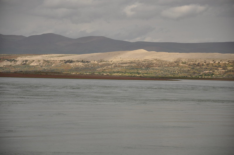
We could see north up the Columbia River to the feature known as White Bluffs. Ice Age floods and the river carved away 600 feet of ancient river and lake deposits of the Ringold Formation to expose these bluffs.
So that was our trip! It was fun to explore a bit of Central Washington, an area where neither of us had spent any time. Pretty cool place!


