On Sunday my plans called for a hike up Scott Mountain in the Mt. Washington Wilderness. The weather didn’t look very promising but I crossed my fingers and hoped the clouds would burn off.
On the way to the trailhead I stopped at the Dee Wright Observatory for a view. Nope.
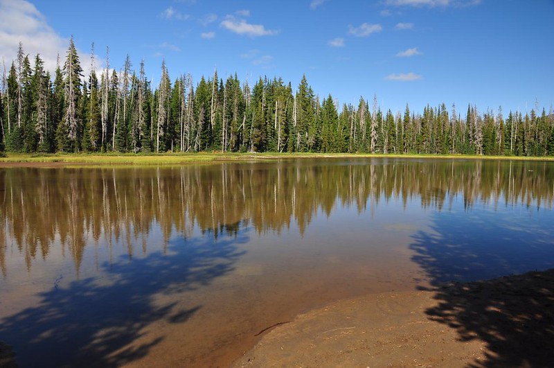
It was a balmy 45 degrees when I arrived at the Scott Lake trailhead at 9:20am. My normal trailhead routine involves bare arms and sunscreen but today it involved putting on a long-sleeved shirt and my down jacket. When I was planning my weekend I had originally considered camping at the small campground there (elevation 4,800 feet) and was glad I decided against it. Bet it was pretty cold the previous night! The mountains were not visible and I hoped the clouds would burn off before I reached the summit of Scott Mountain.
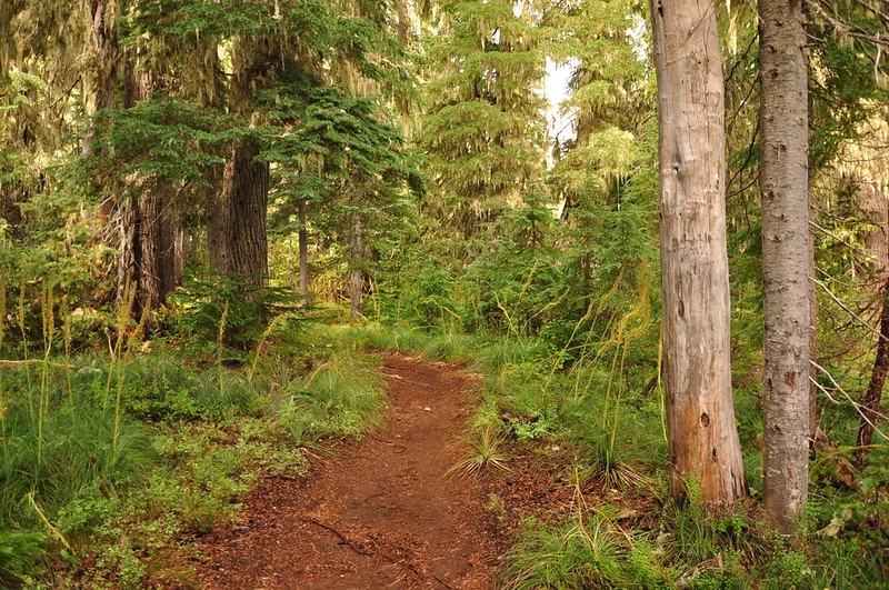
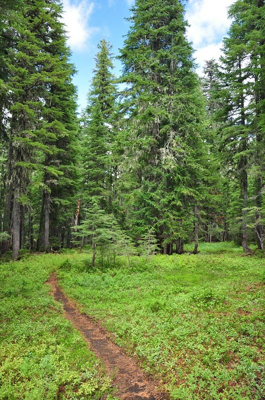
The trail heads off through the forest where I saw A WHOLE LOT of dead beargrass stalks. Looks like it was a fabulous beargrass year here!
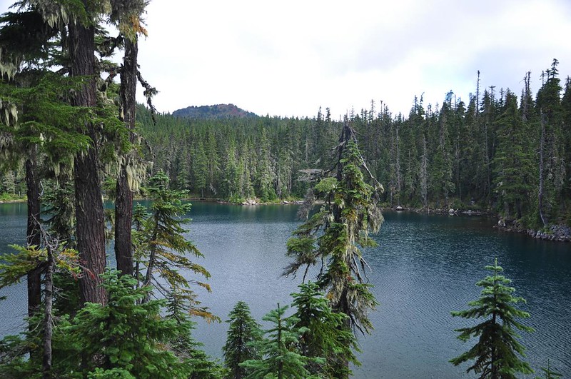
After 1.5mi is Benson Lake, which is pretty big. It was very calm and quiet when I stopped. I rested here for awhile with my book, killing time and giving the clouds time to burn off.
If you scramble around the shore a bit you can see down on the lake and see Scott Mountain nearby.
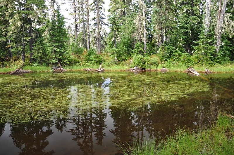
This area is dotted with all manner of ponds and lakes. I bet the mosquitoes are horrid in July.
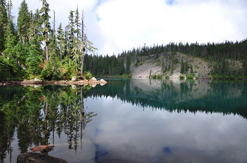
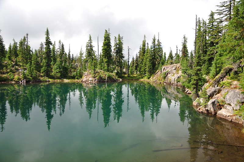
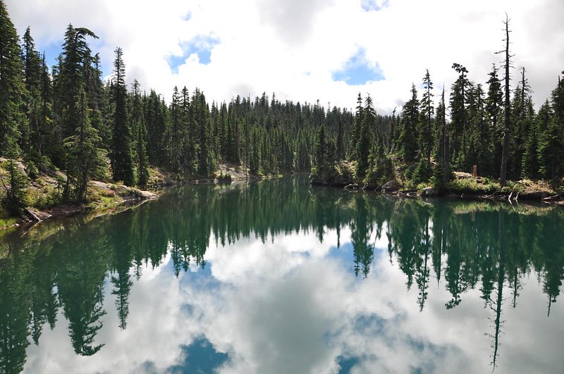
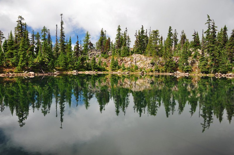
After 2.5mi there’s a side trail to a group of lakes called Tenas Lakes. What a pleasant surprise that spot was! The lakes were quite pretty, with these rocky cliffy shorelines that reminded me a bit of the Lakes Basin in Eagle Cap Wilderness (without the soaring mountain backdrop). I saw one couple camped here, but no one else.
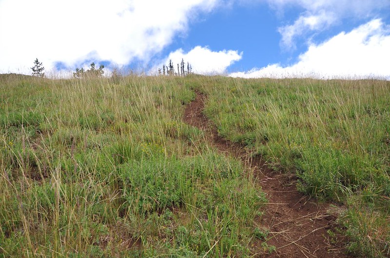
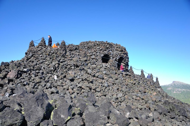
Onwards through the forest and up to Scott Mountain. The summit is open and meadowy.
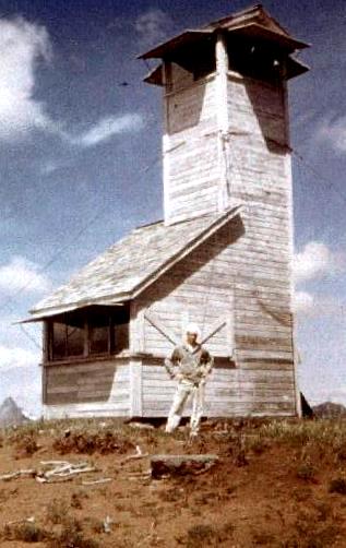
There was once a weird-looking fire lookout here (never seen this style before).
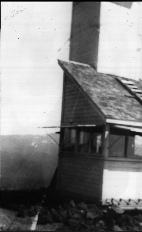
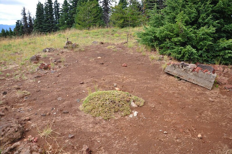
All that’s left is parts of the foundation and some other bits and pieces.
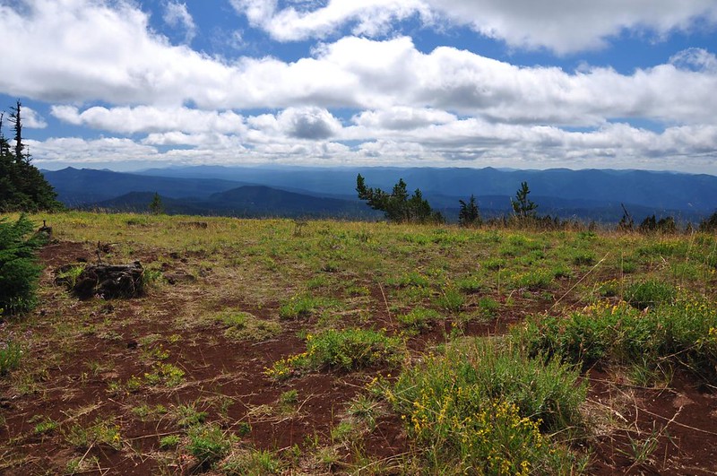
Looking east from the summit.
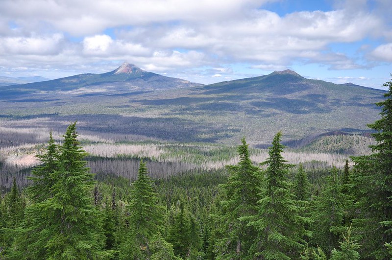
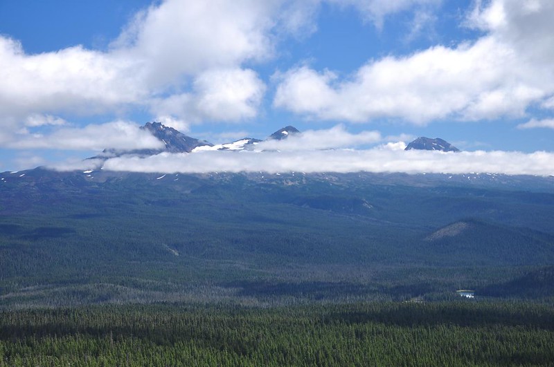
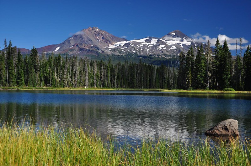
Behold the magnificent view of the Three Sisters! (or not)
Totally disgusted with the uncooperative weather, I got out my book and waited to see if the clouds would burn off, even though it was pretty chilly on the summit. It took awhile, but I finally got to see evidence of the Three Sisters before heading down.
I could go back the way I came for an 8.2mi hike or loop back for a longer 9.7mi hike. I opted for the loop, heading downhill on the Scotty Way Trail (chuckling “beam me up, Scotty!” as I went). The berry-picking along here was fabulous so my progress was slow.
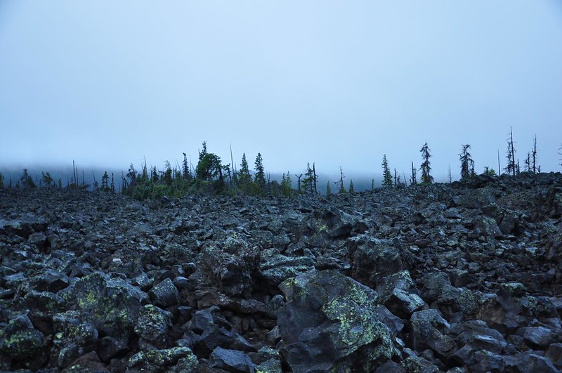
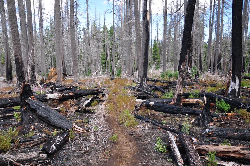
Not sure which fire this was, but it looks like it was in the last few years.
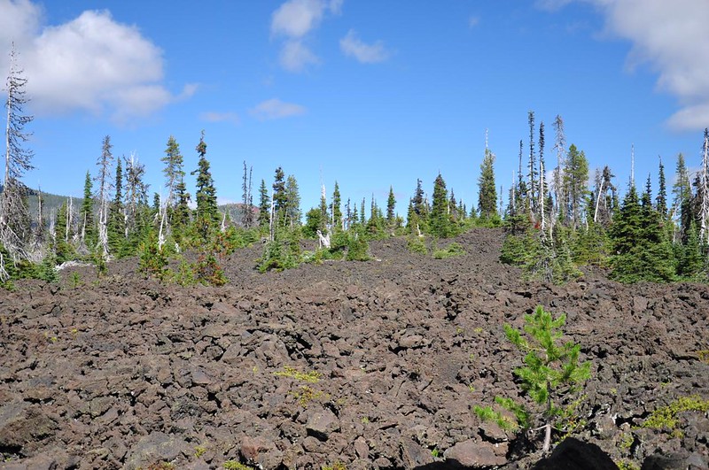
I picked up the Hand Lake Trail and walked along the edge of the lava for awhile.
Hand Lake was all dried up, to my surprise.

For comparison, here is what it looked like on August 30, 2008. The only commonality here are the view-obscuring clouds!
After Hand Lake there are a few snowmelt ponds.
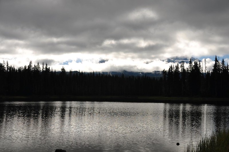
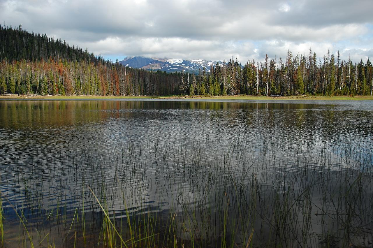
Then I was back at Scott Lake by 4:15, where the mountains were FINALLY making an appearance! About time!
During the cold, quiet, sleepy morning I had thought that Scott Lake looked like a nice place to camp. But in the sunny afternoon I changed my mind. There were people and canoes and kayaks everywhere. I think this place would be best on a weeknight.
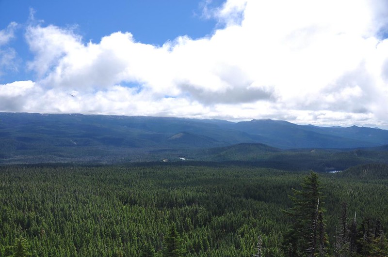
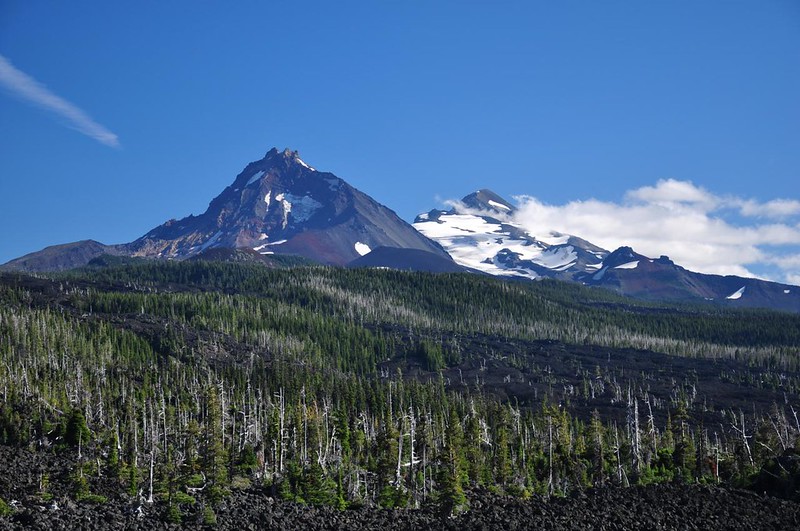
On the way back to Cold Springs CG I stopped for a mountain view from Highway 242:
Also made a brief stop at Dee Wright Observatory, where it was cold, windy, and VERY CROWDED.
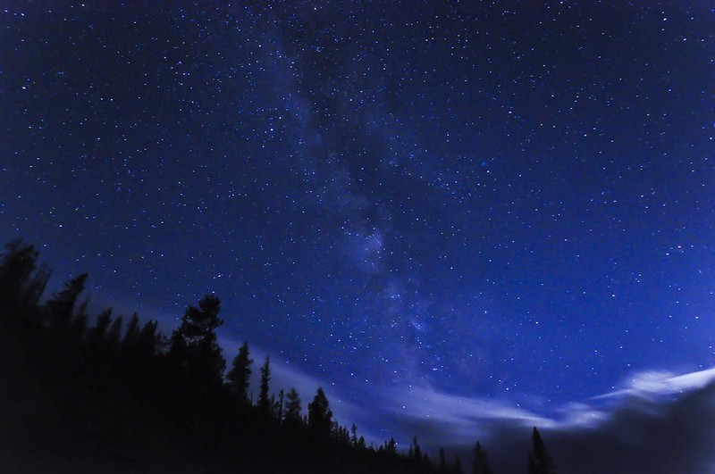
Back at the campground I ate dinner and hung out until dark. Then I headed back up to the pass for some star photography. Unfortunately a gigantic cloud was parked right above the pass, blocking out the mountains and the stars. So I went back a few miles to a place called Windy Point, which was living up to its name that night. Managed to get a few photos before I couldn’t take the bone-chilling wind anymore.

I was so happy to crawl into my warm sleeping bag back at camp, feeling very tuckered out after a long full day!


