On Sunday Greg and I were supposed to meet up with geocaching friends to do the Cook Hill hike. They got a bit of a head-start on us and we got delayed, so we ended up about an hour behind them on the “trail.”
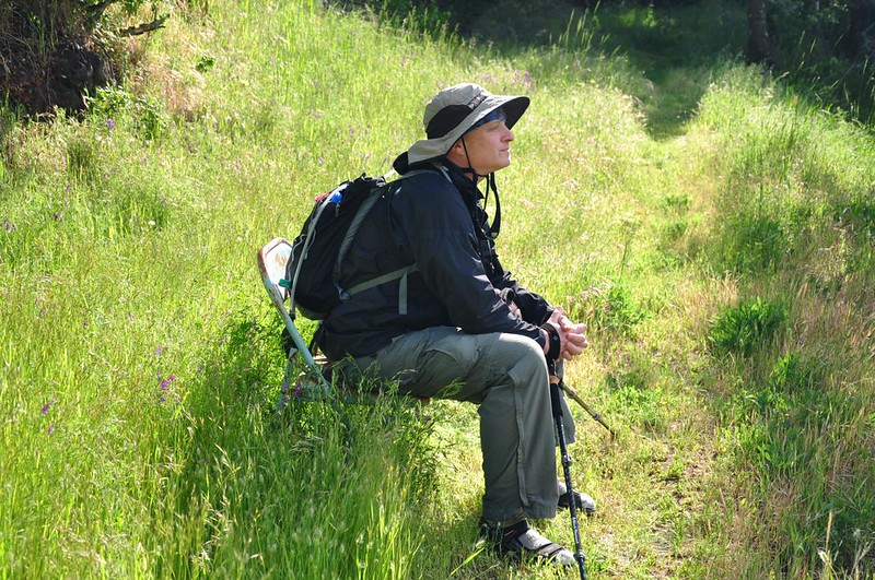
We started hiking up the old logging road and came to the famous chair.
Road hiking.

More road hiking.
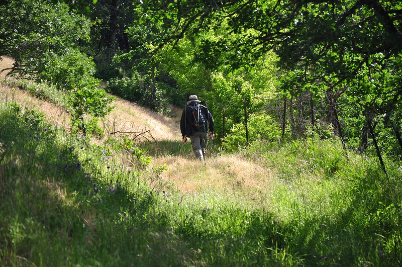
That road is surprisingly steep and I was really struggling. Greg had on sandals (hiking boots sitting outside the front door, whoops!) and he was barely winded.
Saw some coralroot which was growing right up through some ferns.

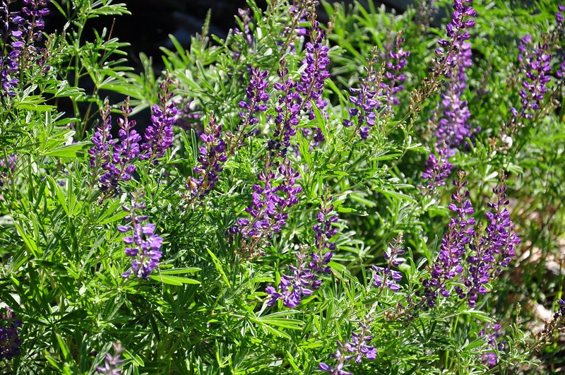
One patch of lupine alongside the old road.
We reached the junction where the Russ Jolley “trail” branches off and found a note from our friends. We had caught up a bit and were now only 30 minutes behind them.
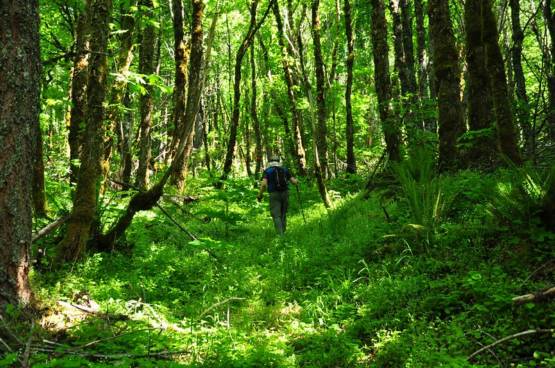
We had to battle this tall vegetation, which would have been a lot worse if our friends hadn’t bushwhacked through here 30 minutes earlier.

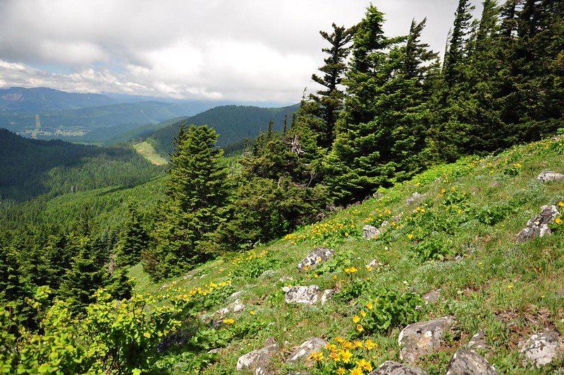
Then we broke out into the meadow where some balsamroot were in bloom. They were past peak but still nice.
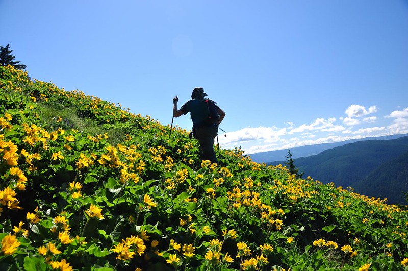
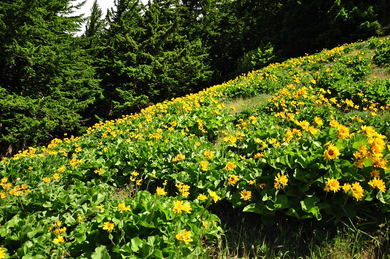
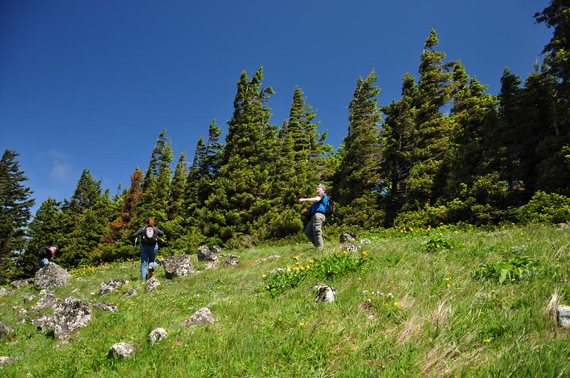
The wind was AWFUL. I thought we were going to get blown off the mountain! Photographing the wildflowers was difficult. All my photos are full of blurry bits of yellow.
Views to the west.
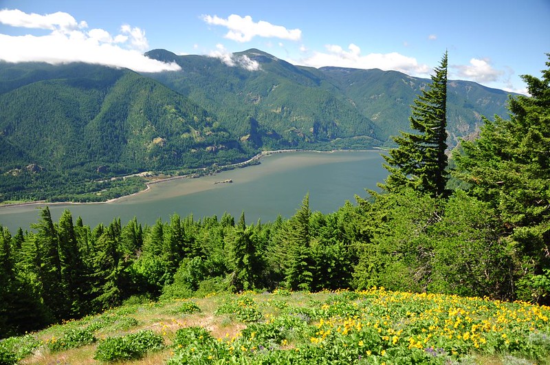
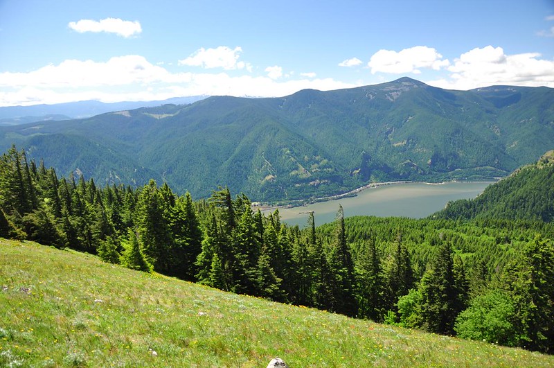
And the Hood River Valley to the east.
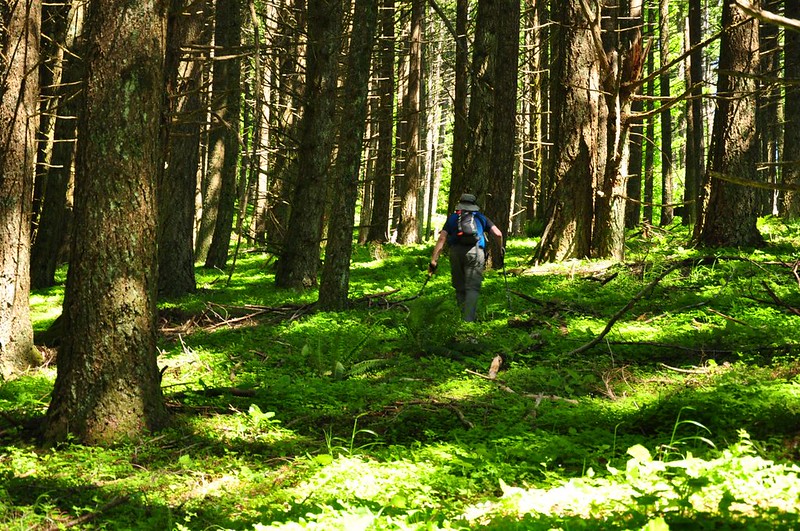
We still had a lot more climbing to do before reaching the summit. There wasn’t really a trail, just flagging. The underbrush was low, but even then it’s surprising how slow the going is when there is no established trail.
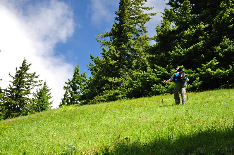
Almost there. We finally caught up with our friends a few minutes after I took this picture.
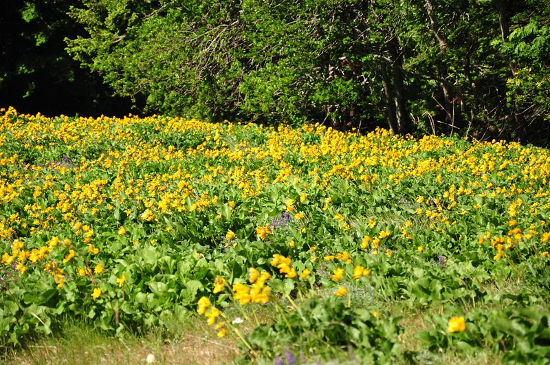
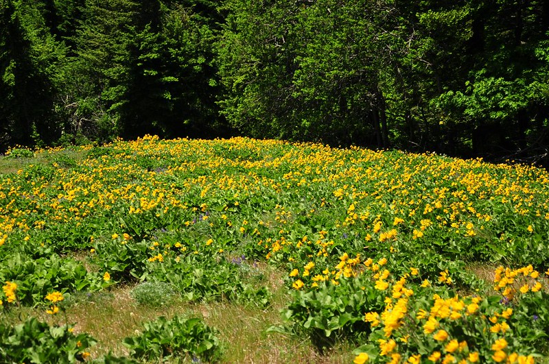
We finally reached the summit and I was disappointed to see that the meadows there were not wildflower meadows like on Dog Mountain. There were a few flowers here and there, but it was mostly just grass. This was the largest concentration of flowers in the whole meadow:
It was hard to stay upright with the wind blowing so hard. Here’s Greg being blown backward.
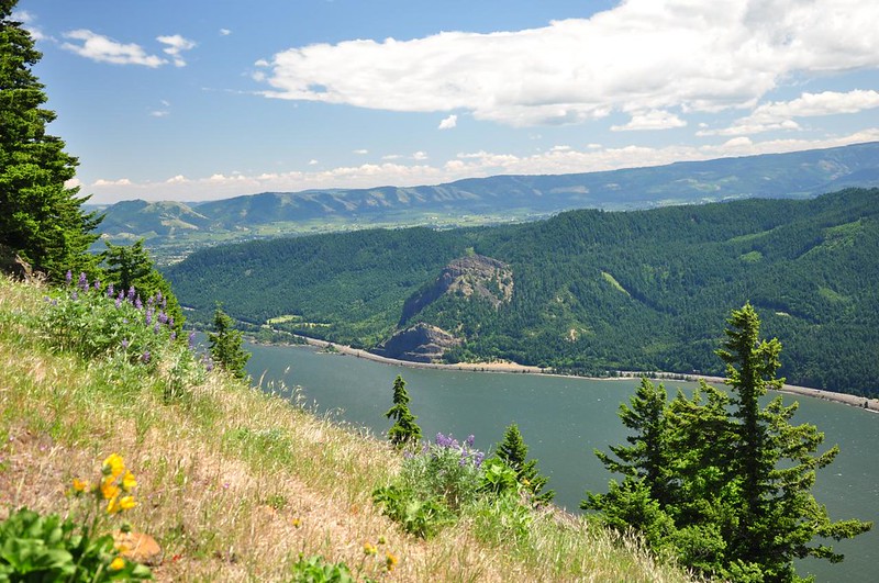
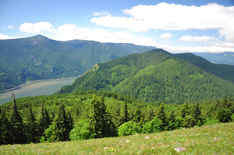
View down to the Columbia and the Oregon side of the Gorge.
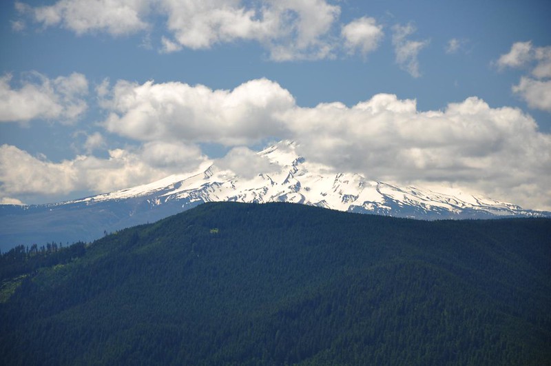
The clouds parted just enough to give us a peek at Mt. Hood.
And there’s Dog Mountain next door.
We had a GPS track that showed you can continue along the summit and connect up with the road system to loop back down, but going further along the summit would have required some serious bushwhacking and our friends had also heard that the upper part of the road had a lot more blowdown than the lower part. So we returned the way we came.
For all the accolades this hike gets online, I was expecting some spectacular results. Unfortunately this hike turned out to be more work than Dog Mountain with less reward than Dog Mountain. That one balsamroot meadow was nice, but the summit was not worth the work it took to get there. So the final verdict is that it’s good to check this one off the list, but I don’t plan to hike it again.


