Date of visit: April 17, 2011
Population: 1,895 (2010 Census)
Rainier is the only spot where Oregon drivers can cross the Columbia River via bridge for 45 miles in either direction. The bridge was designed by Joseph Baermann Strauss, the engineer who designed the Golden Gate Bridge in San Francisco. It was the longest and highest cantilever bridge in the country at that time. It was built with more than 12,000 tons of steel and is 8,192 feet long. When the bridge was opened in 1930, it opened as a toll bridge, but the toll was removed in 1965 when the bridge was paid off.
It was originally known as the Longview Bridge (Longview is the town on the Washington side of the bridge.) But in 1980 the bridge was rededicated as the Lewis and Clark Bridge in honor of the two explorers who paddled down the river 175 years before. It was listed on the National Register of Historic Places in 1982.
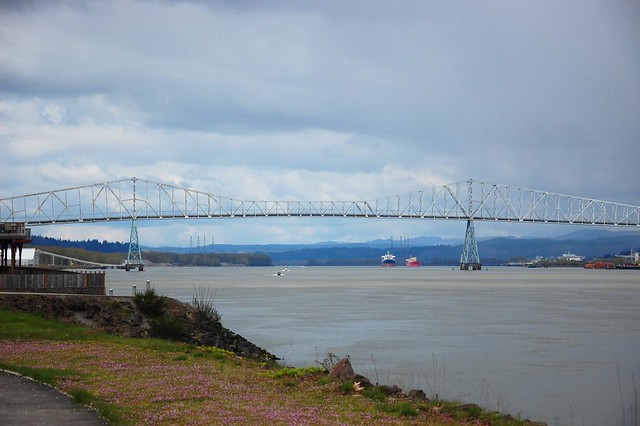
The Lewis and Clark Bridge over the Columbia River
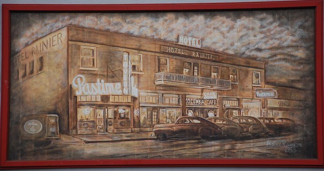
A mural on a downtown building
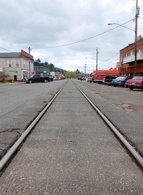
The main drag on A Street
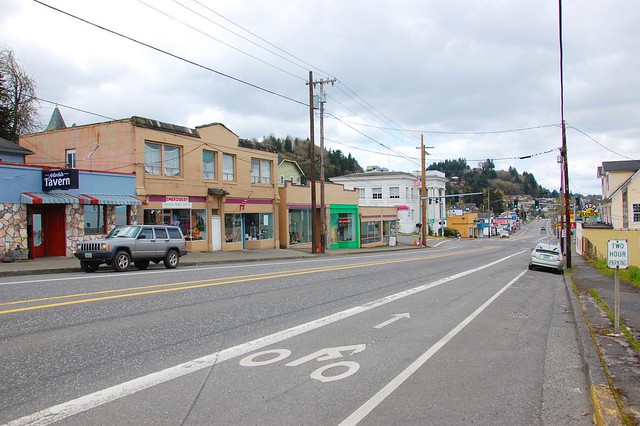
The main drag on B Street / Highway 30
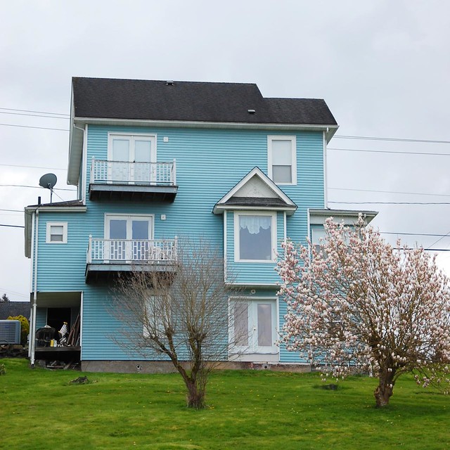
A pretty blue house on the hill. On a clear day I bet they have a nice view of Mt. Rainier, for which the town is named.
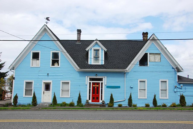
John Diblee House, built in 1855
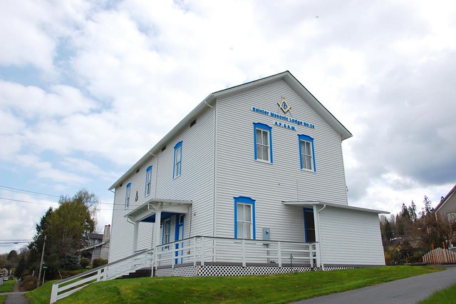
The Masonic Lodge
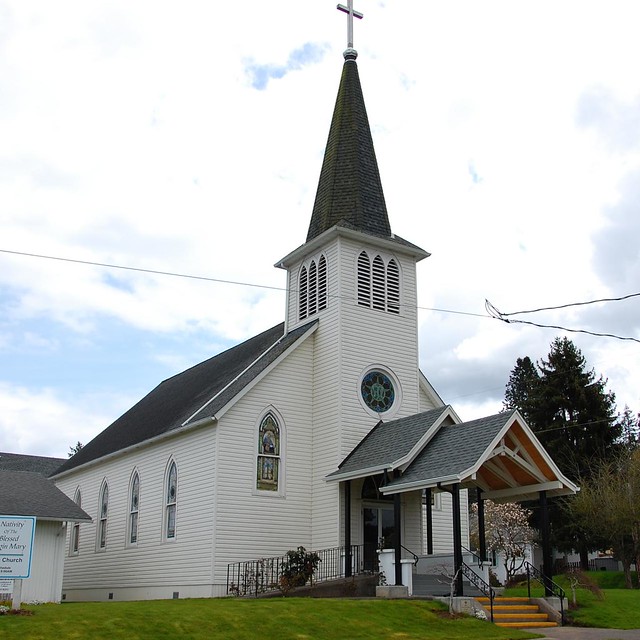
The Nativity of the Blessed Virgin Mary Catholic Church
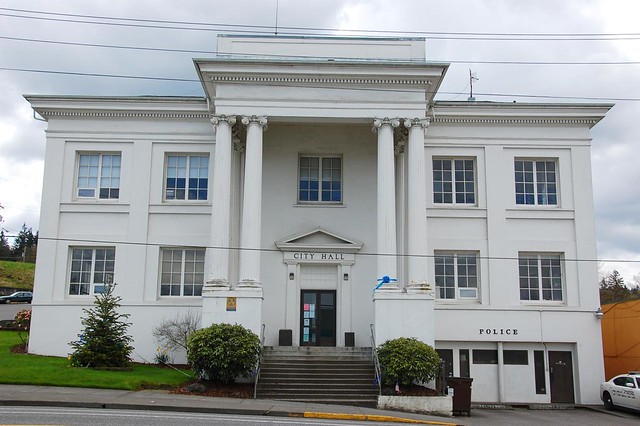
City Hall (and library too; the entrance is around the side of the building)
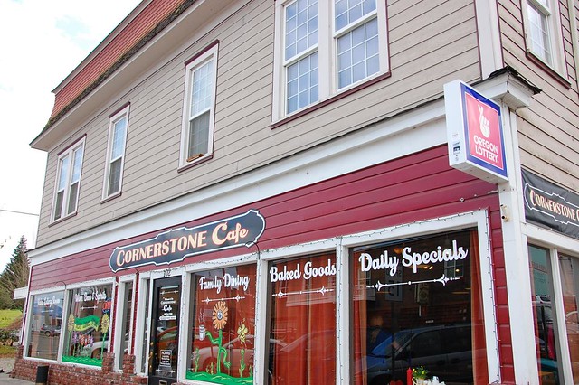
The Cornerstone Cafe (I had already eaten lunch; otherwise I would have tried this place out)


