Wednesday, July 12, 2023
During a trip to southern Cascades of Oregon I hiked to Abbott Butte in the Rogue-Umpqua Divide Wilderness.
This area burned in the 2017 Broken Lookout Fire:

Plenty of burnt snags have fallen since then, but weirdly it looked like someone had recently deliberately cut this large tree at the trailhead, which fell directly onto the trail:

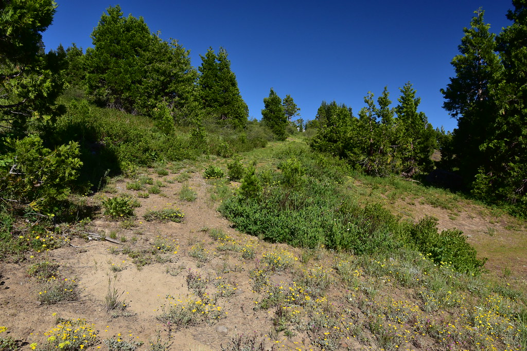
Most of the first 1.5 mile of the trail is pretty overgrown and faint:
A brief interlude in a patch of unburned forest:

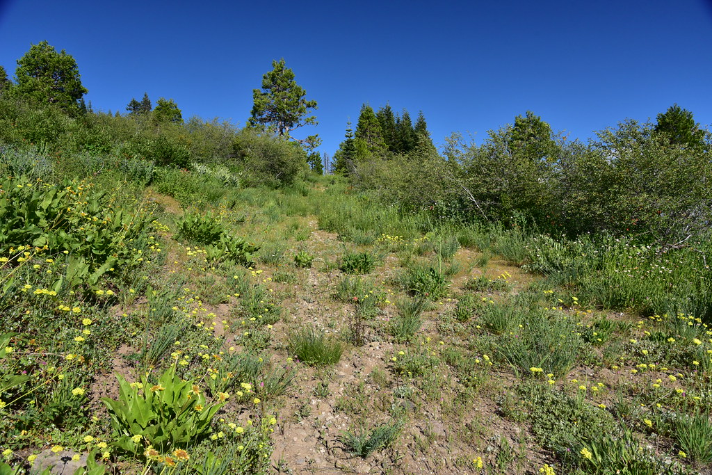
An easy-to-follow section:

More brush:

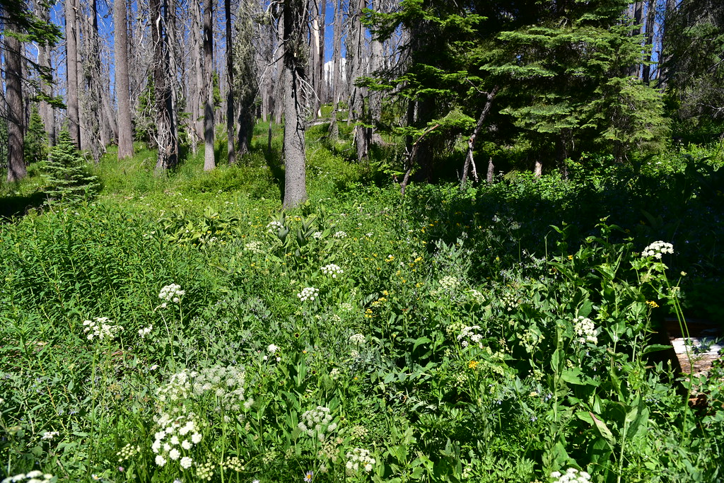
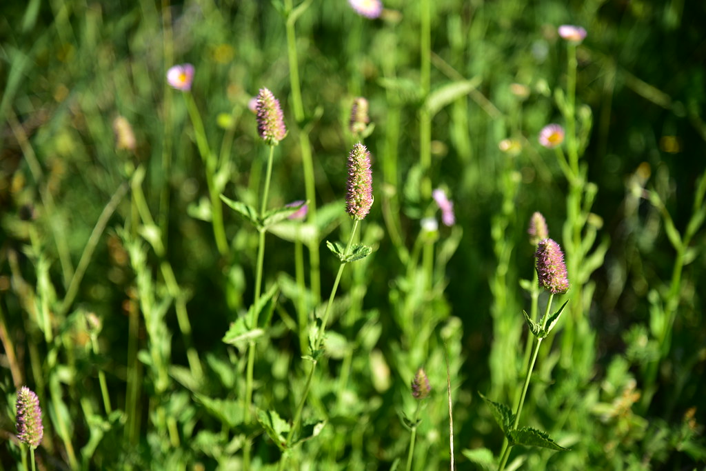
There were some nice wildflowers, though, including sitka valerian:

After 1.5 miles the trail reached a saddle called Windy Gap. The area was a confusing jumble of fallen snags. I spotted the wilderness sign, which somehow survived the fire:

Eventually after thrashing around for awhile I found the continuation of the trail, which is actually an old long-abandoned road:

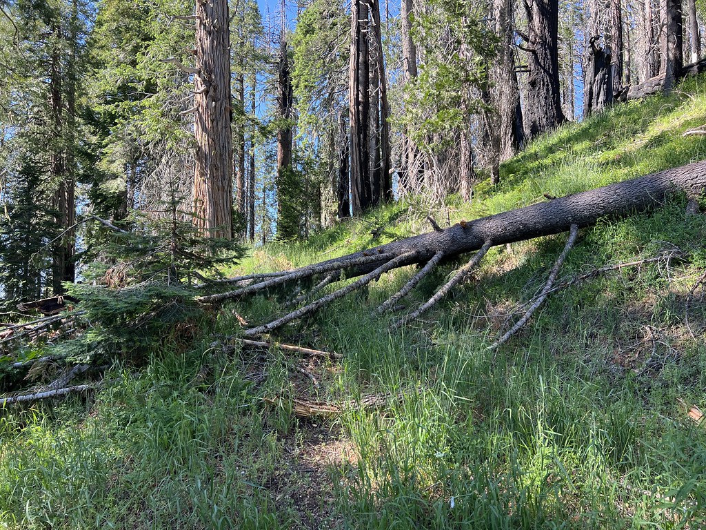
This was less brushy and easier to hike, but it had blowdown:


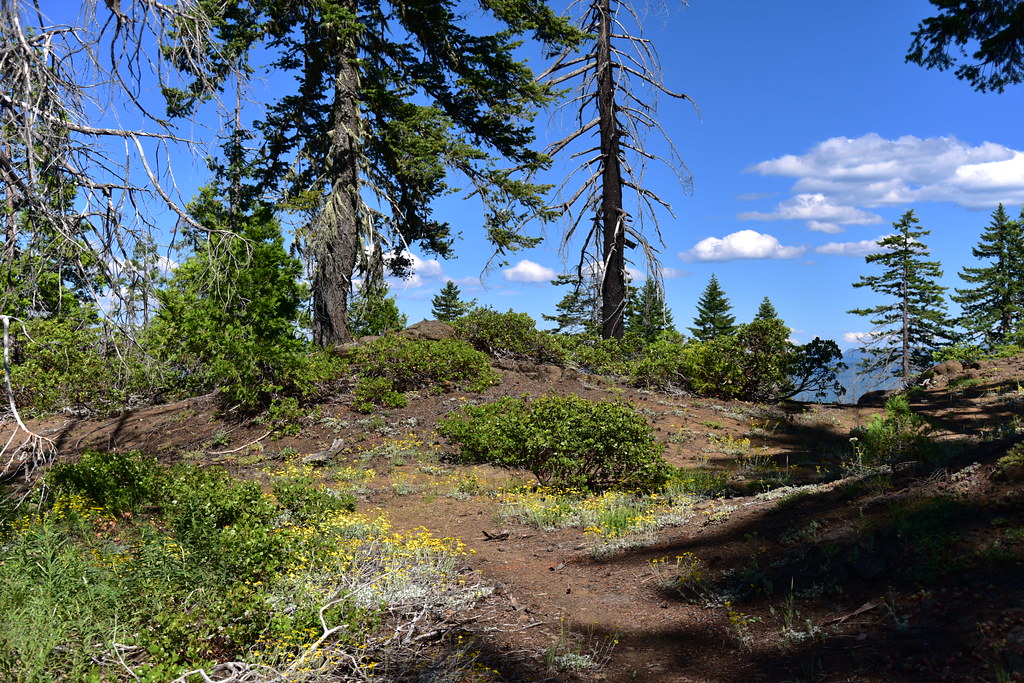
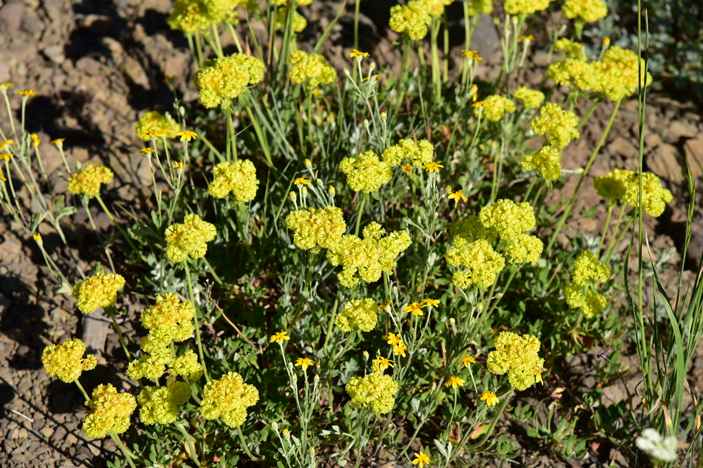
I reached a sandy pass where Oregon Sunshine bloomed in abundance. What a lovely spot!


Continuing on up the old road:
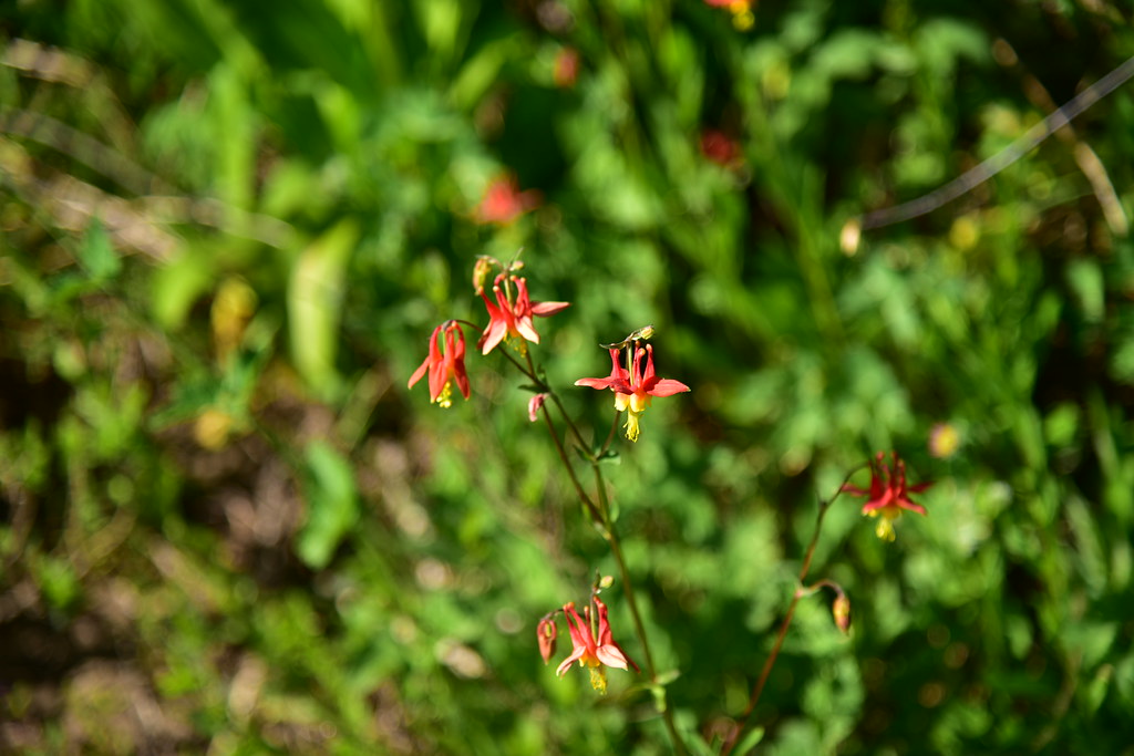
Scarlet gilia:


At 2.6 miles I passed the junction with the Cougar Butte Trail, which looked unmaintained:
The road has been abandoned so long it actually looked like a trail sometimes:

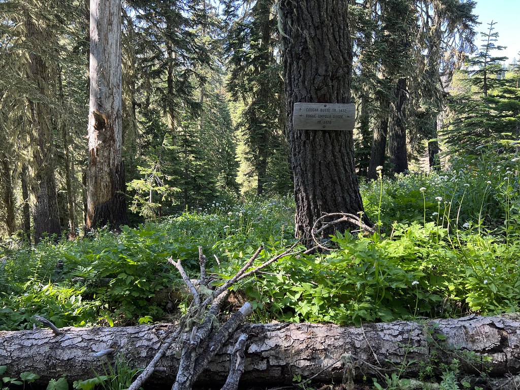
I passed another junction. These old signs survived the fire, but there are no longer any trails that intersect here:


At three miles I reached the spot where the old spur road to Abbott Butte heads uphill on the right. There are no signs here and it’s easy to miss if you’re not looking for it:
I headed uphill through a sea of wildflowers:

Last stretch to the summit:

This was the site of a fire lookout starting in 1928 when a D-6 cupola cabin was built up here:

In 1938 a 20′ tower with an L-4 cabin replaced the first lookout:

The lookout stopped being staffed at some point. In 1984 Abbot Butte and the surrounding land became part of the newly-designated Rogue-Umpqua Divide Wilderness. Structures cannot be built in wilderness areas, but existing ones are often grandfathered in when a wilderness is created. From the 1987 Proposed Land and Resource Plan: “Abbott Butte Lookout was accessed by a low standard road which remains in place. The road was barricaded soon after the wilderness bill was signed.” Also “the legs were found to be rotted in the center several years ago. The stairs were removed at that time to prevent visitors from going up the tower.”
At some point in the last 10 years the cabin collapsed while the tower remained standing. It’s unclear exactly when the rest of tower collapsed, but it was probably the winter of 2021-22. It was still standing in October 2020. I also found a Facebook post from July 2021 that shows it standing. This report from July 2022 shows that it had collapsed. Now it’s just a pile of lumber:
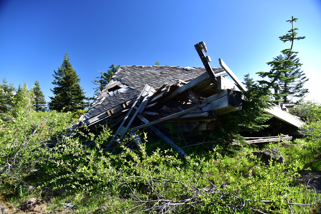
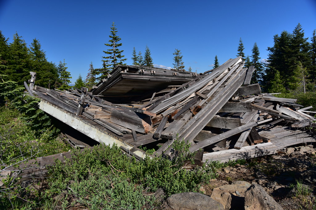


Update: I later learned that sometime after my visit here the Forest Service came up and burned the debris, probably out of liability concerns.
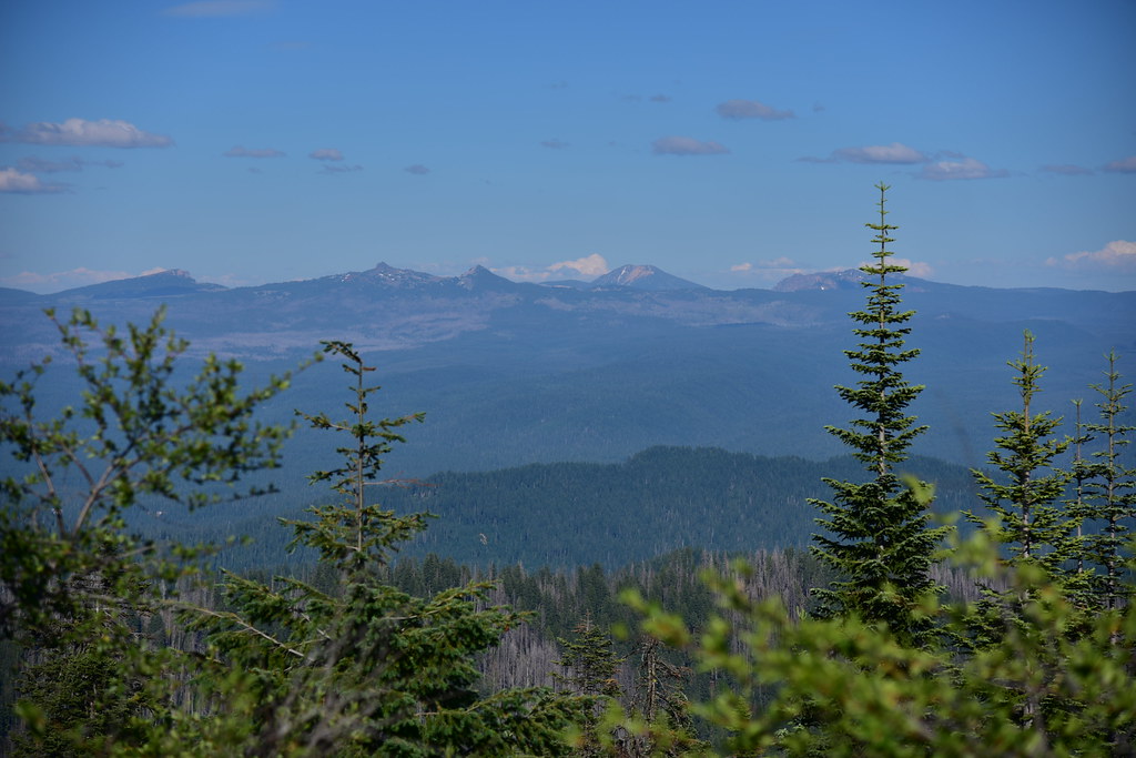
Views are limited from the summit. The view to the south is overgrown (so is the view to the north):

View to the east including Llao Rock, Hillman Peak, The watchman, Mt. Scott, and Applegate Peak:
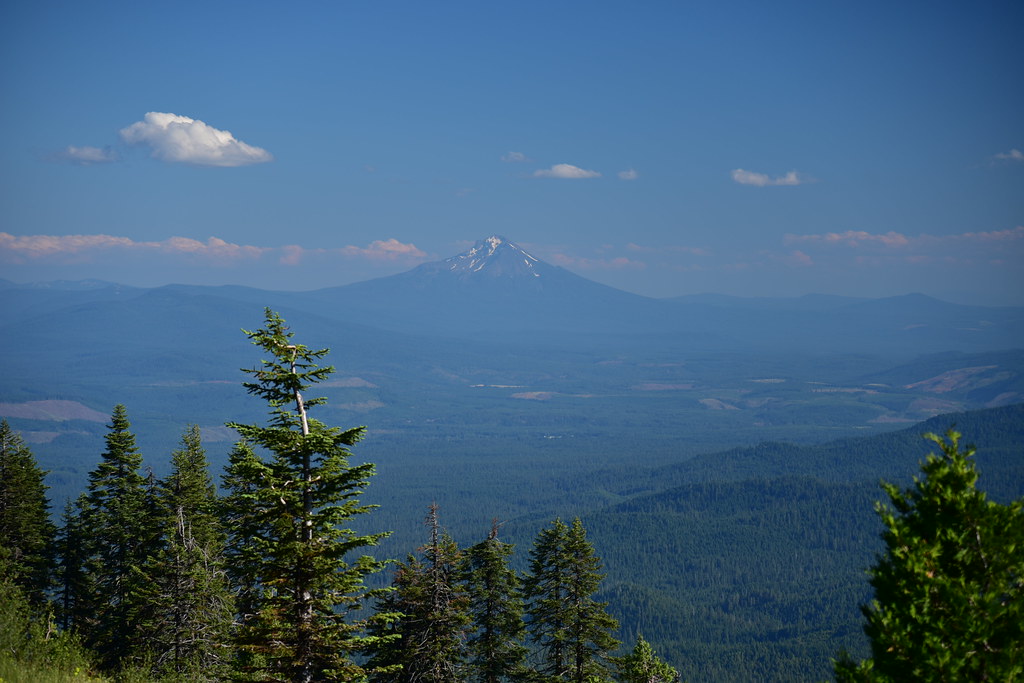
Hiking back down I got a view of Mt. McLoughlin to the southeast just below the summit:


The day was getting late so I booked it back to the car. I didn’t see anyone else the entire hike.
Gaia stats: 7.25 miles, 1,280′ elevation gain


