Saturday, October 5, 2019
Although we have driven past it hundreds of times and seen it from various vantage points, Greg and I have never hiked up Hunchback Mountain, so today we did.
The trail starts at the Zigzag Ranger Station. There is an old run-down springhouse near the trailhead:


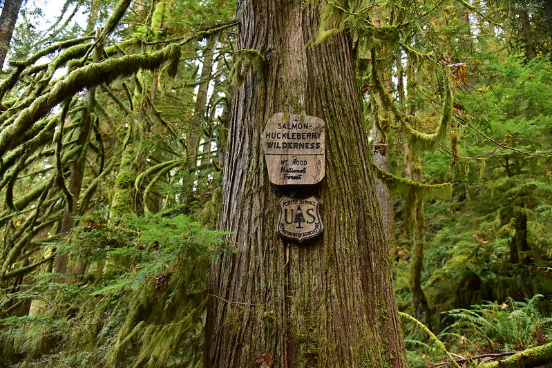
We quickly crossed the wilderness boundary, entering the Salmon-Huckleberry Wilderness:
There were many switchbacks as we climbed up, up, up:

There was signs of recent trail work and indeed Trailkeepers of Oregon worked here on September 25:
At 1.1 miles we passed this cool mossy rock face:

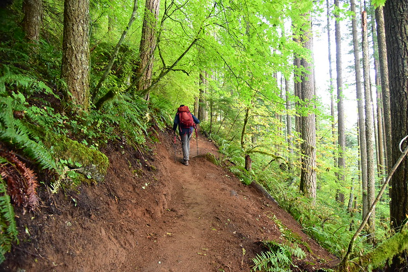
The trail got steeper:

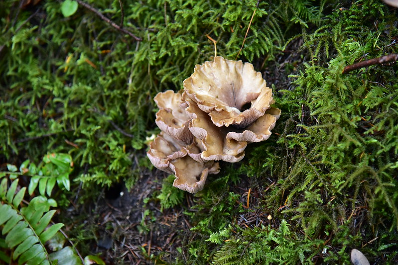
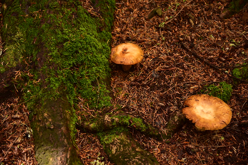
We saw quite a few mushrooms:
After gaining 1,700 feet of elevation over 2.25 miles we reached the clifftop viewpoint looking down on the Salmon River. Although it doesn’t have a defined and obvious summit, that is Huckleberry Mountain across the valley, where I hiked two weeks earlier:


We debated whether to turn around or keep going and decided to keep going a bit further. The trail was rough and very steep in places:

The trail leveled off for awhile and we reached a junction with the spur trail to the old helispot at 3.7 miles. There are no views from it so we didn’t check it out. We made this our turnaround point:

Earlier, at the 2.5 mile mark, we had passed the junction for the Rockpile. On the way back we checked it out:

Turns out the Rockpile is just that, a pile of rocks:

We scrambled up to the top where we did not get a view of Mt. Hood, just clouds:
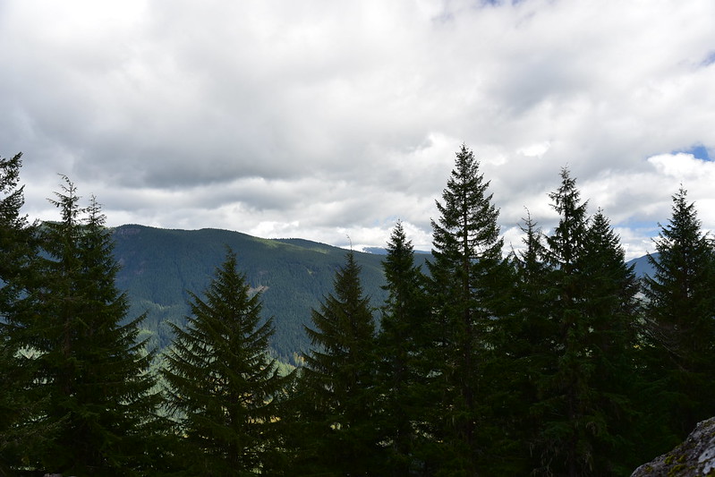
You can just barely make out the edges of part of the mountain through the clouds. Drat!

We headed back to the car, descending steeply down the mountain. Boy did our legs hurt for the next few days! This trail is STEEP. 2,400′ elevation gain, 7.4 miles.


