Saturday, May 4, 2019
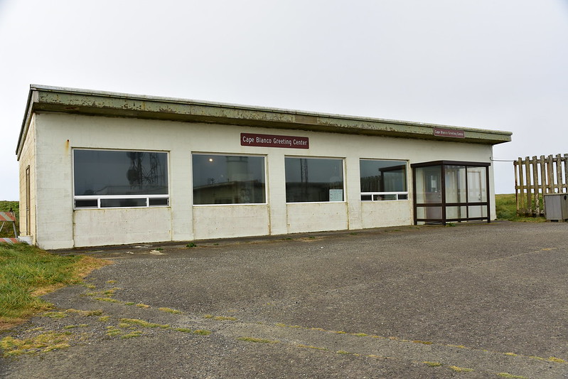
On the second day of our trip we drove out to Cape Blanco State Park, the westernmost point of Oregon. It was named in 1603 by the Spanish explorer Martin D’Aguilar because of the chalky appearance of the headland. The gate to the lighthouse had not been opened yet, so we parked the car at the gate and walked the road out there.

It was totally overcast and EXTREMELY windy. I imagine it’s very windy here all the time. The lighthouse was built in 1870. Today there is a visitor’s center and for a small fee you can tour the lighthouse.


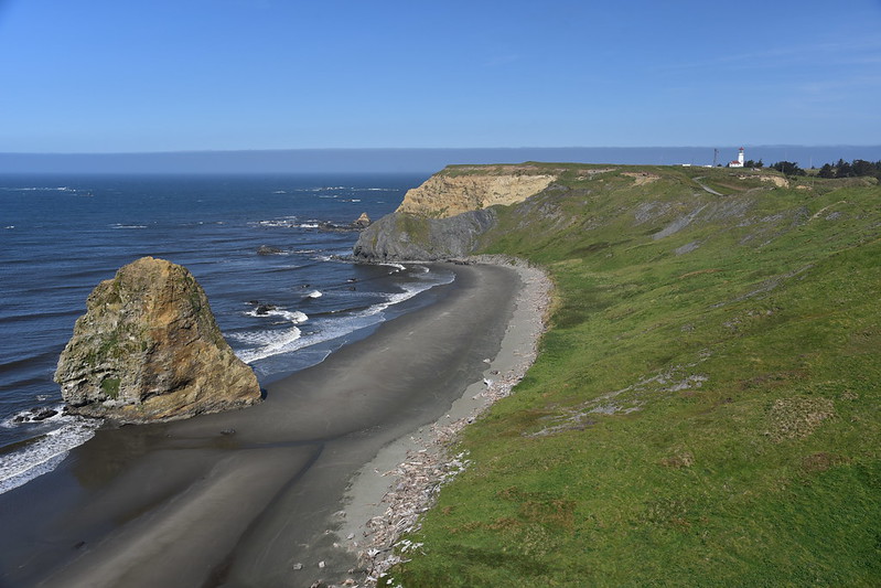
We walked back to our car admiring all the seastacks to the north of Cape Blanco:

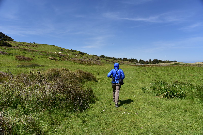
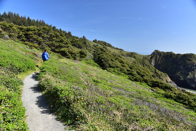
We decided to walk the South Cape Trail that heads towards the campground.

The clouds were starting to burn off:


And then poof, the sky was blue!
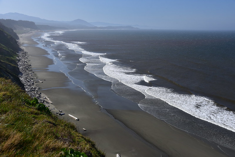
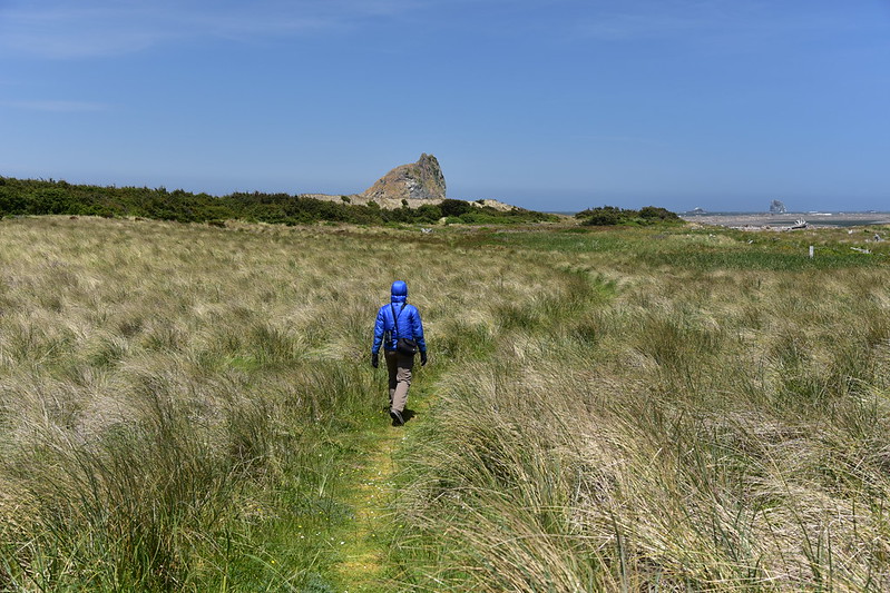
There’s Humbug Mountain again. You can see that thing for miles around here:
We found a nice grassy day use area at the campground and it was protected from the wind, so we sat here for awhile and enjoyed the beautiful view:


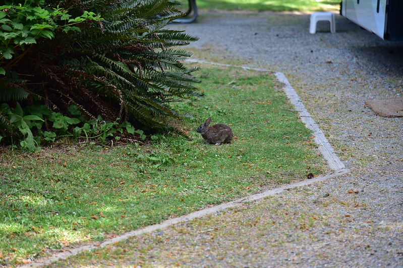
We headed into the campground to use the bathroom and spotted this rabbit. Cute!
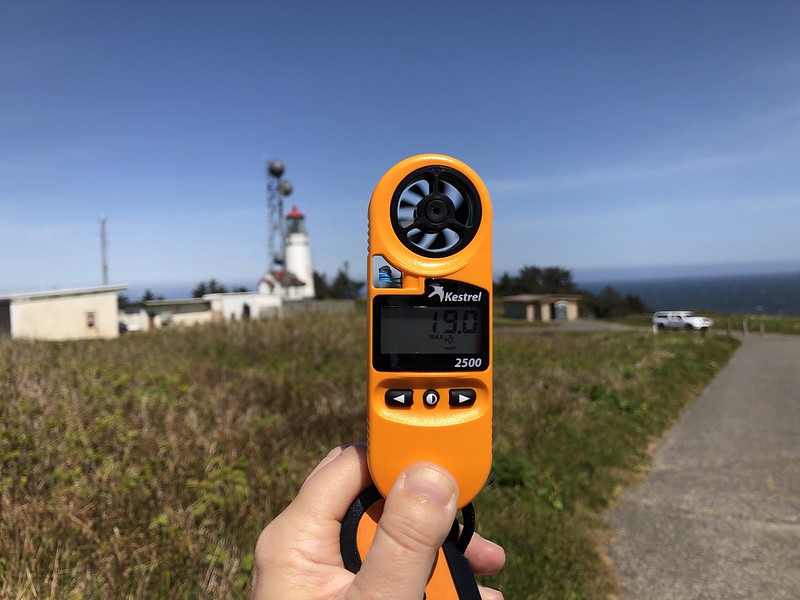
Back at the car the gate was now open, as was the visitor center, so we drove the road out to the lighthouse. I used my kestrel to measure the wind at 19 mph (that may not sound like much, but it is):
A sunny shot of the lighthouse, which was now open for tours:

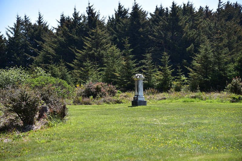
After taking a spin through the visitor center we drove towards the Hughes House, first stopping at this pioneer cemetery:


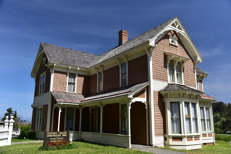
The Hughes House is a beautiful historic home. Here is what the Oregon Encyclopedia says
Built in 1898, the Patrick and Jane Hughes House in Curry County is a significant survivor of a large, prosperous ranch and dairy business operated by Patrick Hughes and his family. Located just north of the headland of Cape Blanco, the imposing house was built on an elevated terrace immediately south of the Sixes River, with a view of the ocean. It is considered the best preserved, largely unaltered, late nineteenth-century house in the county.
The house was staffed by two volunteers and open for visitors, so we took a look around:

Afterward we e drove down to a boat ramp area on the Sixes River just below the house and followed the Oregon Coast Trail to the northwest:
We passed through a gate with a sign for the Castle Beach Trail:

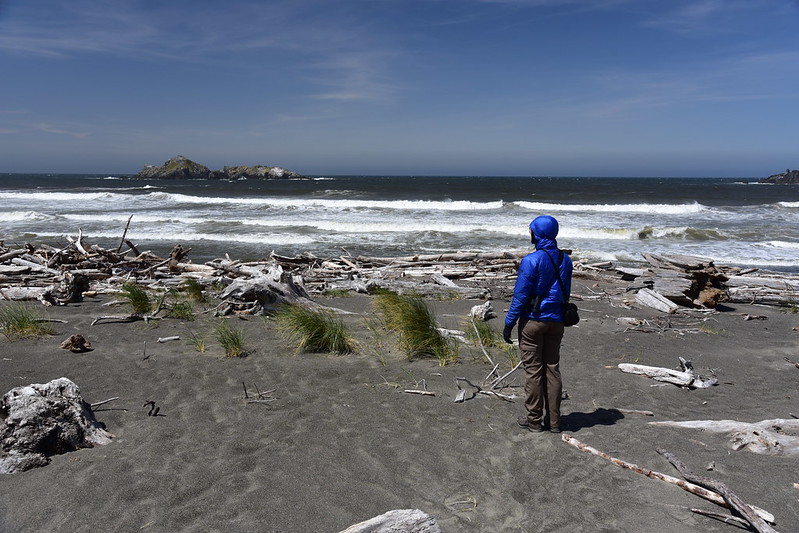
The windswept beach was littered with a whole bunch of driftwood. It felt like a lonely and seldom-visited place, but very beautiful:
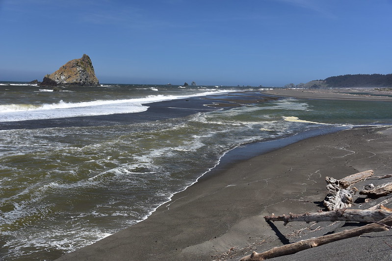
We had a view of Cape Sebastian and the lighthouse:

To the north was Castle Rock and the mouth of the Sixes River:
There were lots of birds out on Gull Rock:

We found shelter from the wind behind a large log and Deb took a little cat nap with a glove serving as sun protection for her face:

Hiking back to the car we could see the mountains to the east:

The trail passes through some pasture areas and we saw sheep who wanted nothing to do with us:

Back at the boat ramp we checked out the Sixes River:

After stopping for a bite to eat in Port Orford we drove out to Port Orford Heads State Park. The Lifeboat Station museum was about to close, so we stopped in there first. The Port Orford Lifeboat Station (#318) operated from 1934 to 1970. The Coast Guard men who were stationed here responded to distress signals from ships off the coast, and launched their lifeboats from Nellie’s Cove to go rescue the crews. Today the old barracks serves as a museum documenting this history (you can also read more about it here):

They have a self-righting lifeboat on display outside:

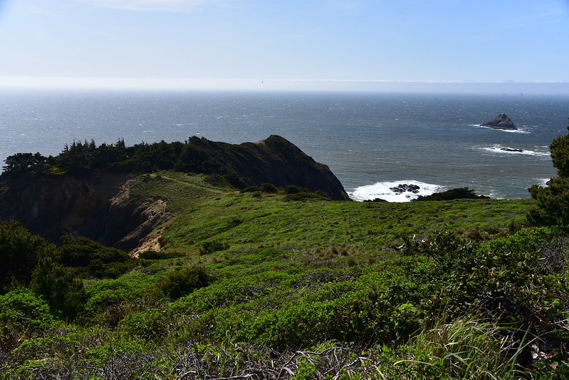
After that we set out on the trail to do a short loop hike around the heads (hike described here):

From the trail you can look down on Nellie’s Cove, where the boathouse used to be when this was a lifeboat station. The cove is 300 feet below the barracks and other buildings, so the men had to descend 500+ steps to get down here to their boats. The boathouse burned in 1970 and all that remain are the pilings and the concrete breakwater:
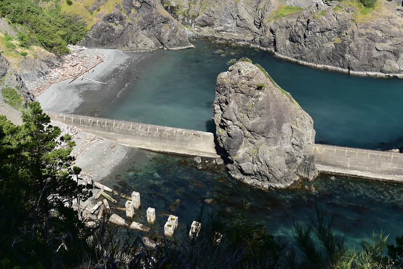
This was a really idyllic spot! We were protected from the wind here, the water was a beautiful blue-green (these photos don’t do it justice, and the sun was shining). We also saw a harbor seal swimming in the water below, which was a treat.

We tore ourselves away and continued on our loop. We got yet another view of Humbug Mountain:

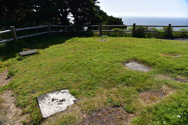
This is where the 37-foot watch tower used to stand. A man would be stationed here watching for distress flares from a floundering ship and when he spotted one he would use his emergency phone to alert the men at the station so they could launch a boat to go rescue the sailors:
View to the west:
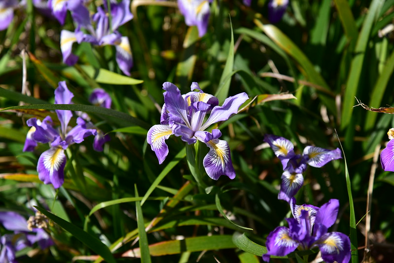
We saw a whole bunch of iris on this little hike:
And some larkspur:

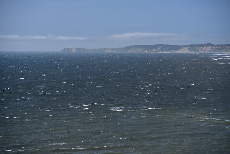
We hiked the Headland Trail out to this point where it was VERY windy. That’s Cape Blanco in the distance:

Hiking back on the Headland Trail:
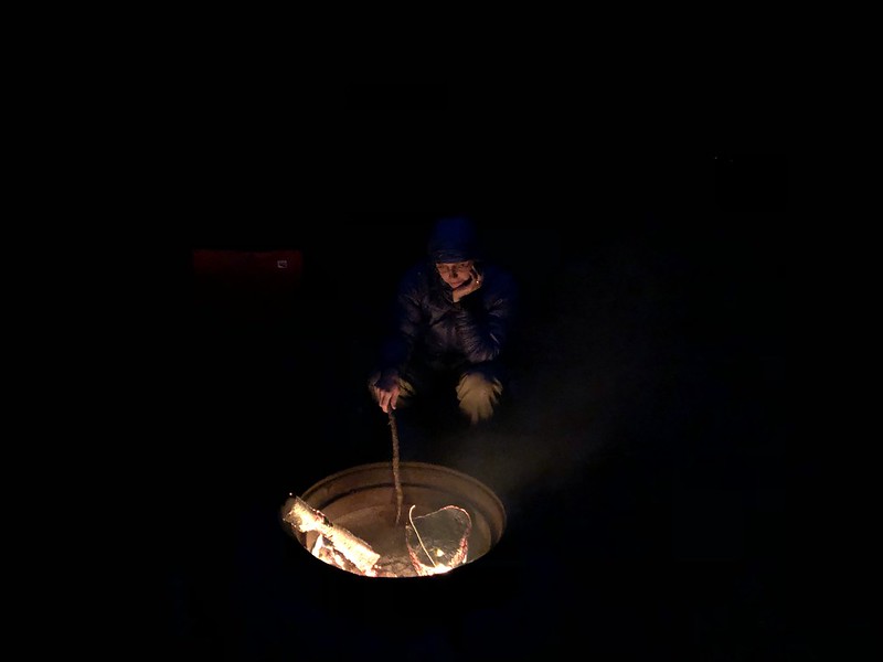
What a beautiful day! Back at camp that evening we had a nice campfire with the seasoned wood we got in town: