Sunday, April 28, 2019
NOTE: Before you read on, if you are planning to visit God’s Thumb please use good judgement. People come here and make poor decisions and then need rescuing. As of this writing, the trail to the top of God’s Thumb is rough and steep and unofficial.
This was a GORGEOUS day at the coast so I decided to hike to God’s Thumb before driving home. I used the directions from this article, but unfortunately I turned too soon which resulted in me hiking a bunch of extra unnecessary mileage.
I parked at Road’s End State Park:

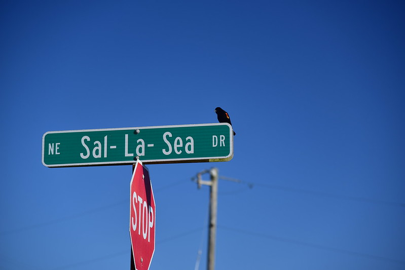
Then started walking up Sal-La-Sea Drive (where a red-winged blackbird greeted me):
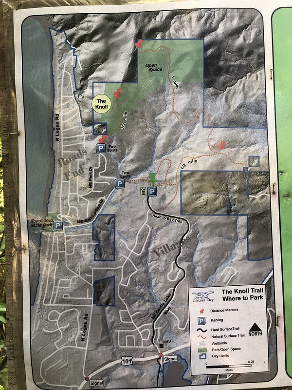
The directions said to walk one mile “to a junction with NW Port Drive, and turn right. There may be signs pointing the way toward “The Knoll.”” I had not gone one mile, but there was a sign for The Knoll and a gate, and Google Maps said this was Port Dr. So I turned right.

That sign had a nice map on it that I photographed, glanced at, but should have looked at closer. I realized too late that I should have kept road-walking to the parking spot directly south of The Knoll, where the red marker is. Instead I turned off at the other marked parking spot, just below and to the right, and started hiking east.
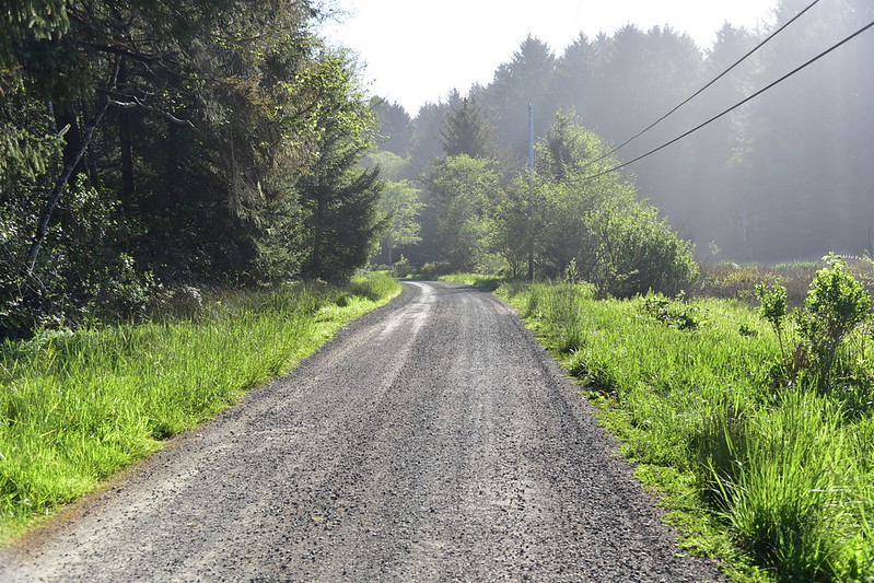
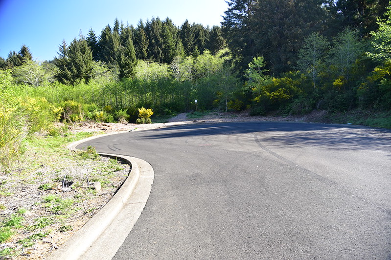
The right-of-way was pretty wide with the path down the middle. It looked like it was intended to be a road at one point:

I popped out at the end of NE Devil’s Lake Blvd (labeled “cul de sac” on that map). Later I did some research online and discovered that this whole area I was hiking through was called The Villages at Cascade Head. Back in 2013 Lincoln City purchased it “from the Federal Deposit Insurance Corporation (FDIC) at the end of May for $2,500,000. The property is the subject of an environmentally-friendly development that was foreclosed upon. Its 363 acres are almost entirely wooded and provide habitat for a number of protected species of animals and plants.” (article)
At that time, the city planned “to keep some of the property as open space, develop some of it for affordable housing, and then sell off pieces of the property to private investors to develop in an environmentally-friendly fashion. In the meantime, the City will designate the property as an interim park.”
I found this presentation from 2017 that indicates that city would like to develop the area along Devil’s Lake Blvd, but based on the maps it doesn’t look like it would include The Knoll.
I crossed to the other side of the cul de sac, and picked up the trail heading east:

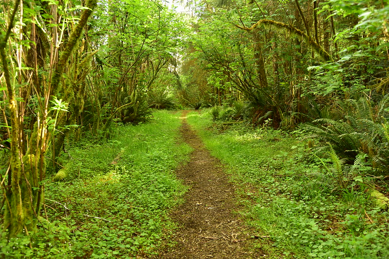
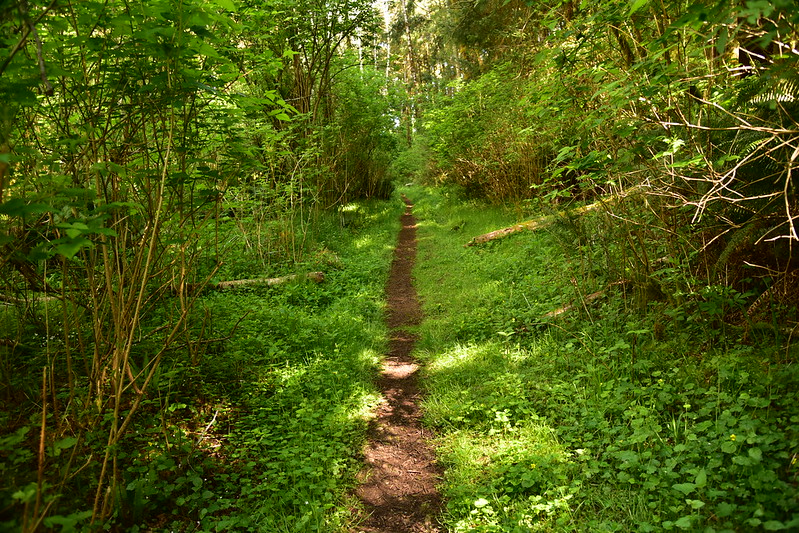
At some point it felt like I left behind what was once intended to be a road, and was now on a true forest trail:

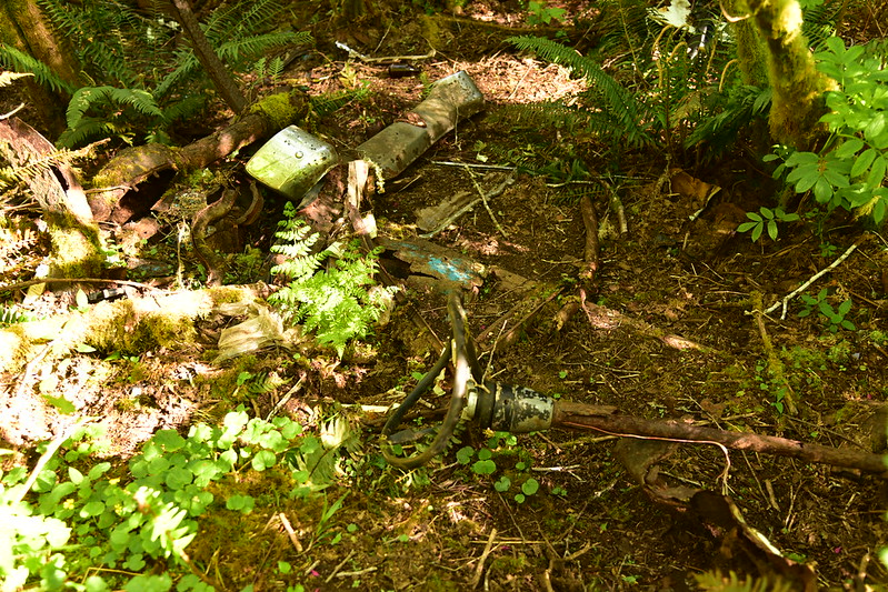
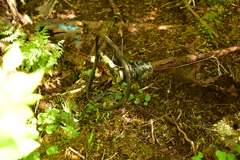
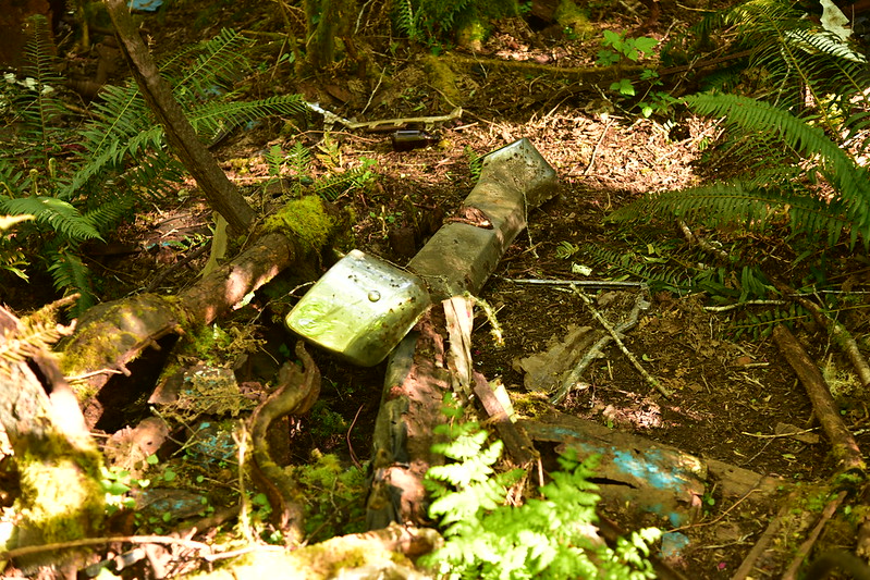
However, maybe I was wrong because I passed the rusting remains of an old car just downhill from the trail. It was too far-gone to tell what it once was.
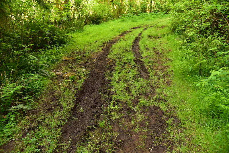
Also, it appeared that someone had recently (and probably illegally) driven their vehicle on this path, as I saw tread marks for quite a distance:
I was now making a big unnecessary loop over and around:
The Knoll was out of my way, an out-and-back side trip that would not be on the way to God’s Thumb, so I decided to skip that. I passed through a meadow:

I was now out of the parcel owned by the city and was hiking in the Siuslaw National Forest. I hiked through more trees, and emerged into another meadow:
And I could now FINALLY see the ocean:

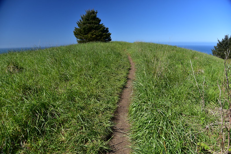
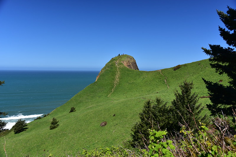
Just a little further on I got my first view of God’s Thumb:

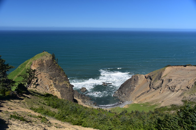
I hiked down to a saddle below it:

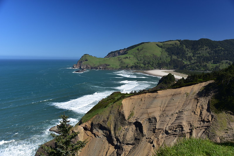
Then scrambled up to the top where I had a great view north to Cascade Head:
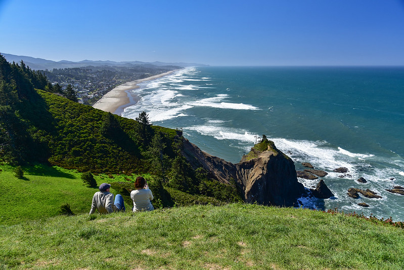
And a great view south:

After sitting there for awhile I made my way back down and headed down the path that would dump me out at Logan Road. I took one last look back at God’s Thumb before entering the trees:
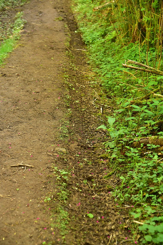
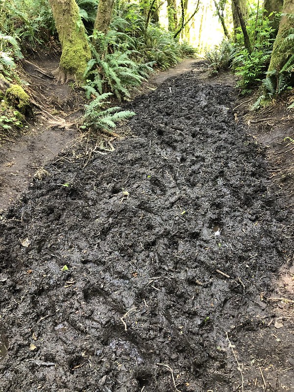
Many parts of this section of the trail were horrifically muddy:

The path came out on a gravel road which I followed to Logan Road, passing through a gate. It now looked like a driveway, but were not any “no trespassing” signs:

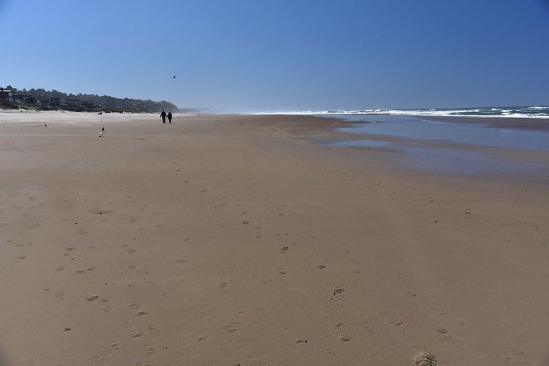
To get back to Road’s End and my car I walked down to Logan until I reached this beach access point at NW 73rd:

And then I walked the rest of the way back on the beach:
Before getting off the beach at Road’s End I turned back and saw God’s Thumb poking up to the north:

I’ve heard a lot about this hike so it was nice to do it on such a beautiful day. I hope the city can improve the muddy parts of the trail.
Here’s my route:


