May 2, 1028
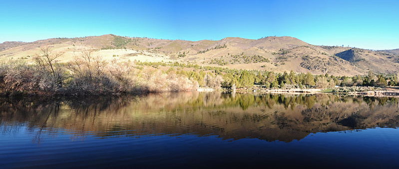
On the last day of our trip we FINALLY woke up to clear, blue sunny skies. There was a little pond behind our hotel. We ate breakfast on a dock there and enjoyed the view of Winter Ridge beyond:
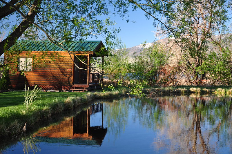
One of the hotel’s cabins looks out on the pond. Charming!
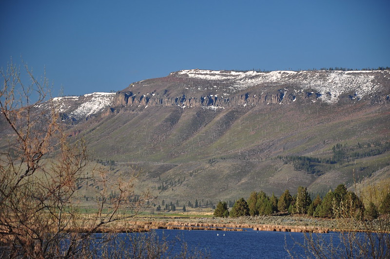
Winter Ridge:
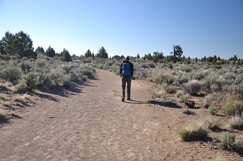
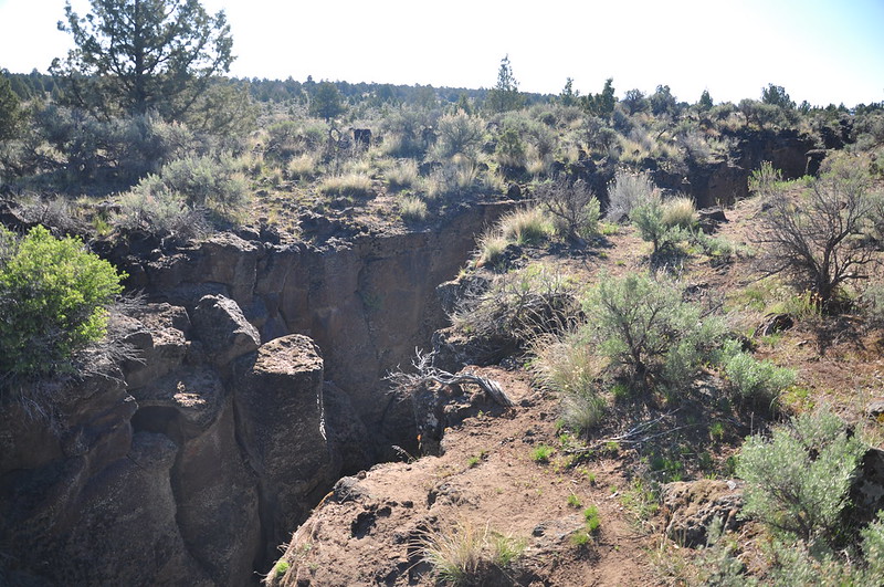
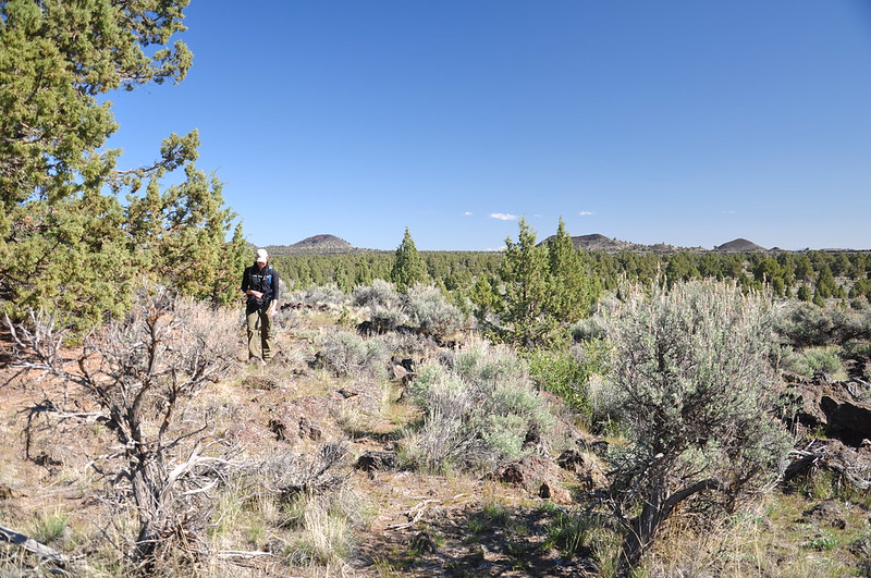
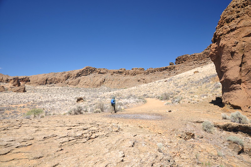
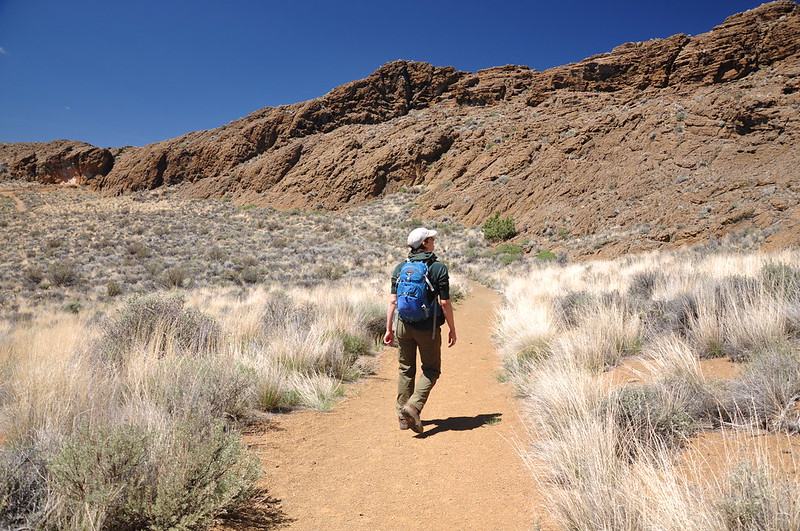
We ate breakfast, packed up, and headed north to check out Crack in the Ground. As we drove north from Christmas Valley jackrabbits kept darting across the road. We arrived at the unsigned trailhead and set off down the trail:
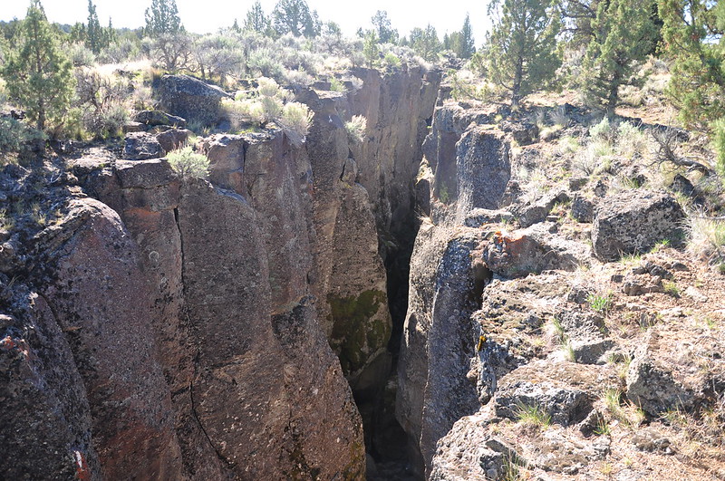
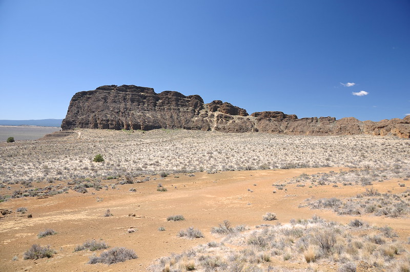
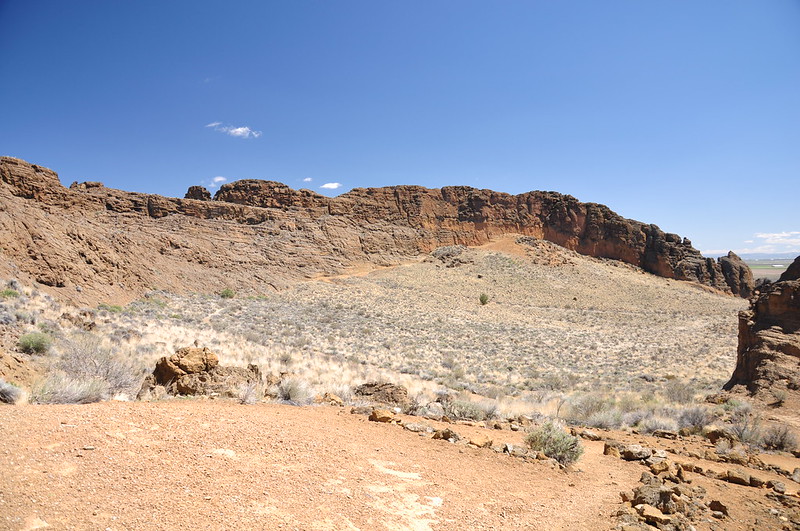
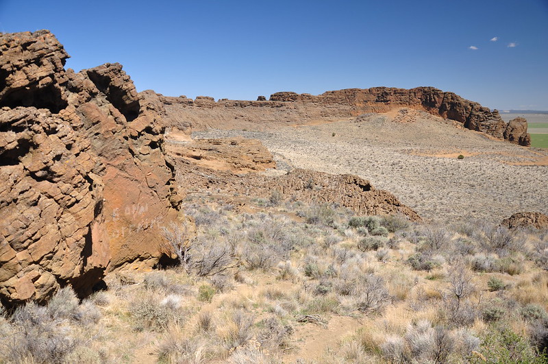
This place is just as the name describes and you can actually see it on Google Earth. Here is how the BLM describes it on their website:
Crack-in-the-Ground is an ancient volcanic fissure over 2 miles long and up to 70 feet deep. Normally, fissures like this one are filled with soil and rock by the processes of erosion and sedimentation. However, because it is located in such an arid region, very little filling has occurred and Crack-in-the-Ground exists today nearly as it did shortly after its formation thousands of years ago. An established 2 mile trail along the fissure’s bottom offers a unique hike, where the temperature can be as much as twenty degrees cooler than at the surface.
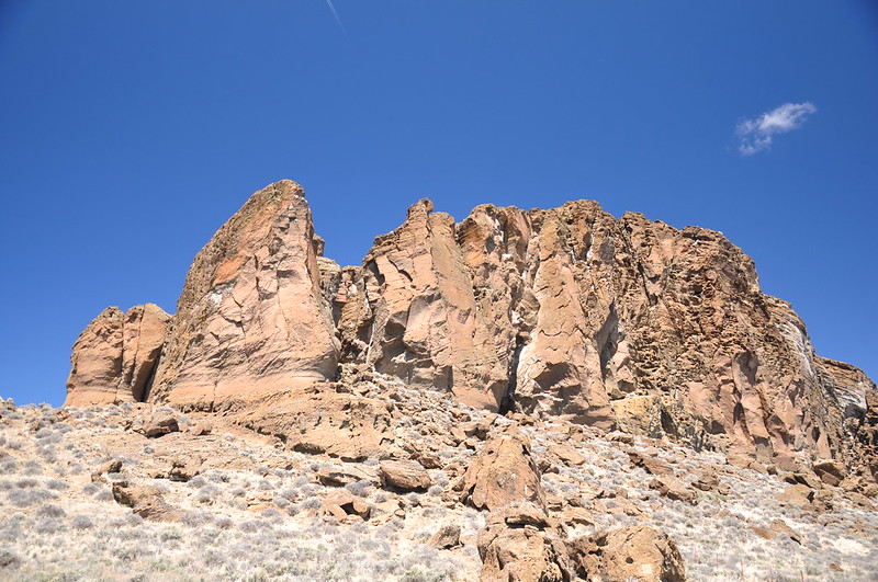
After a short hike from the car to the crack we took a look from above before setting off into the bowels:
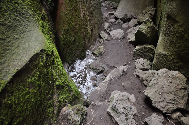
As soon as we stepped in here, the temperature was immediately cooler:
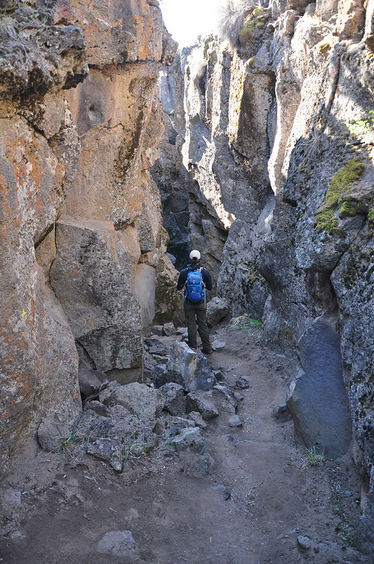
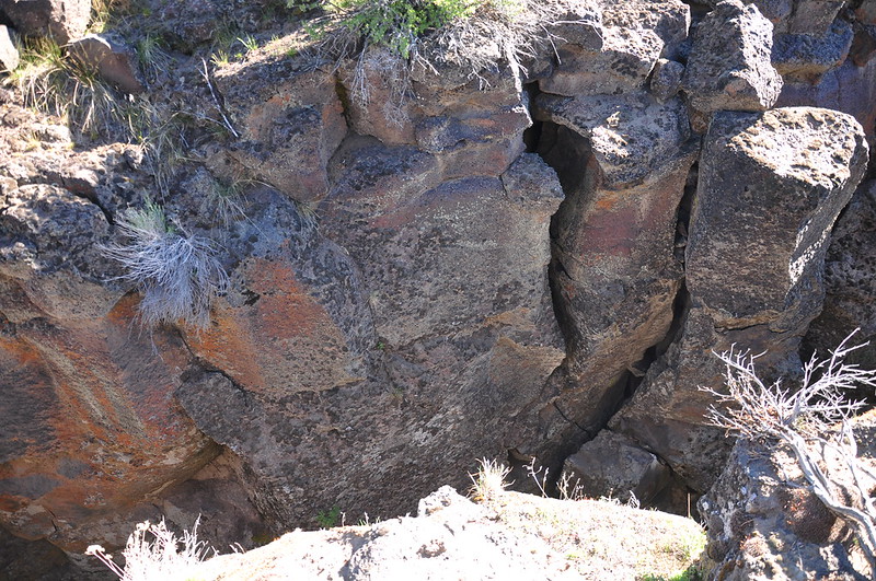
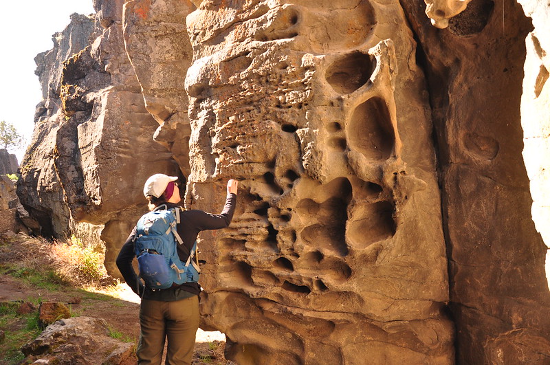
We walked about 0.2mi along the bottom of the crack. It kind of felt like being in a Utah slot canyon:
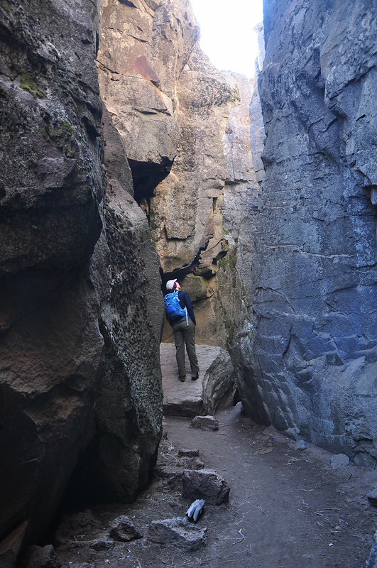
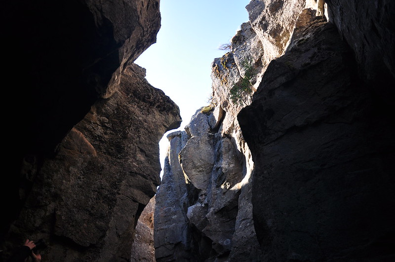
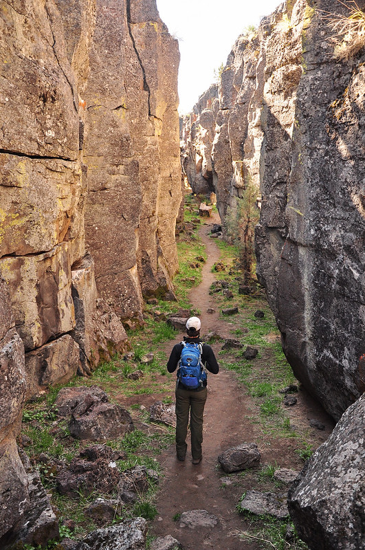
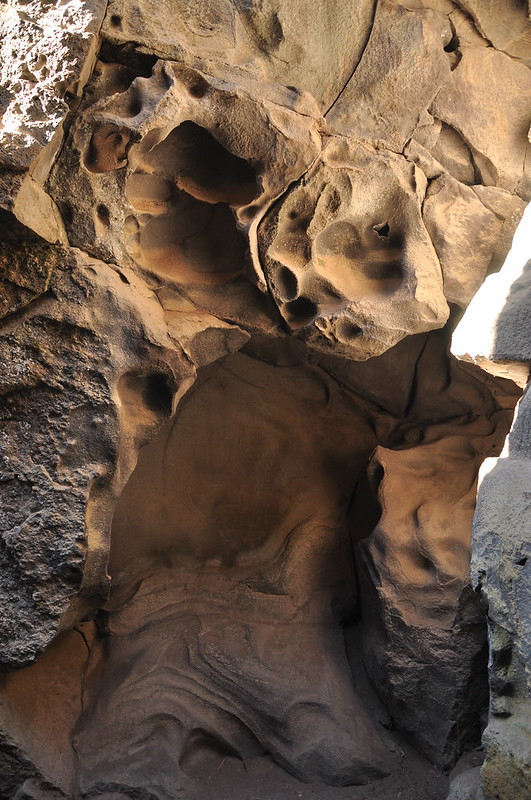
There was some cool-looking rock formations down there:
We saw a lingering patch of snow:
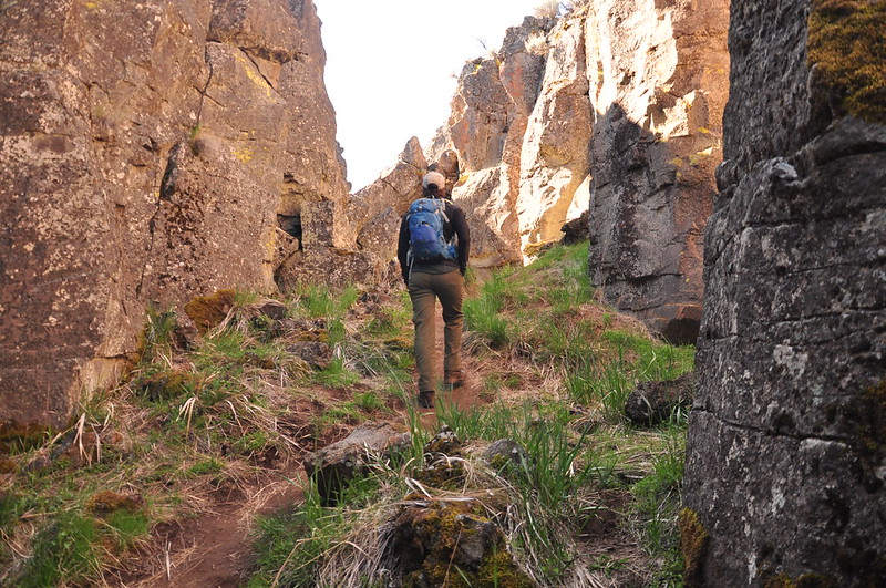
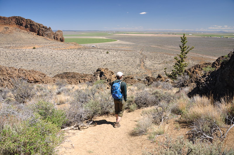
We emerged from the crack out into the sunshine, then followed a trail above the crack for a short distance:
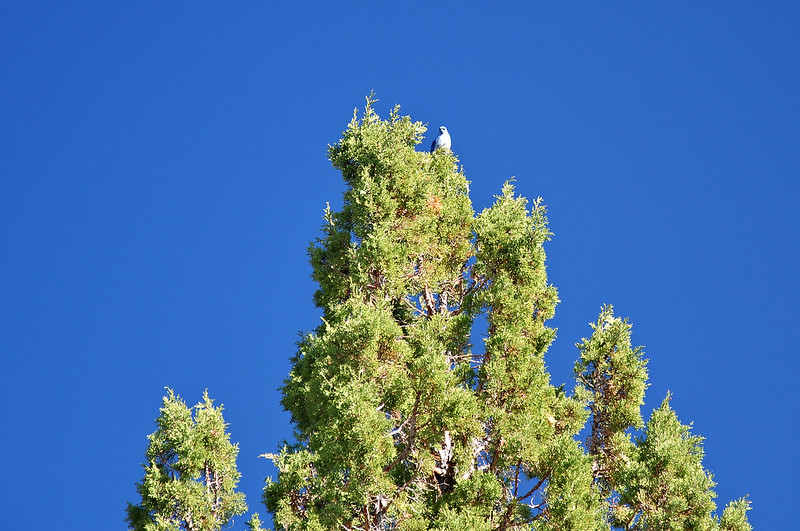
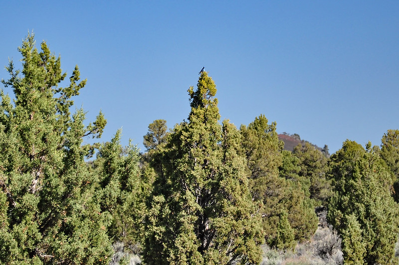
We saw several mountain bluebirds:
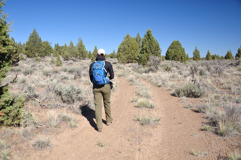
We picked up an old road and followed it back to the original crack entrance:
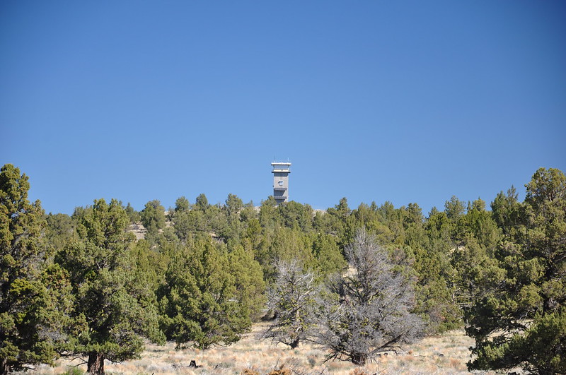
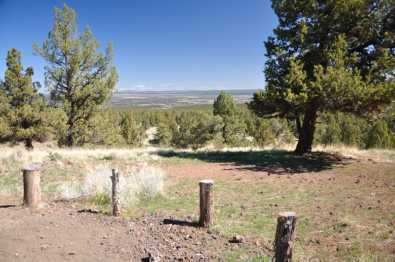
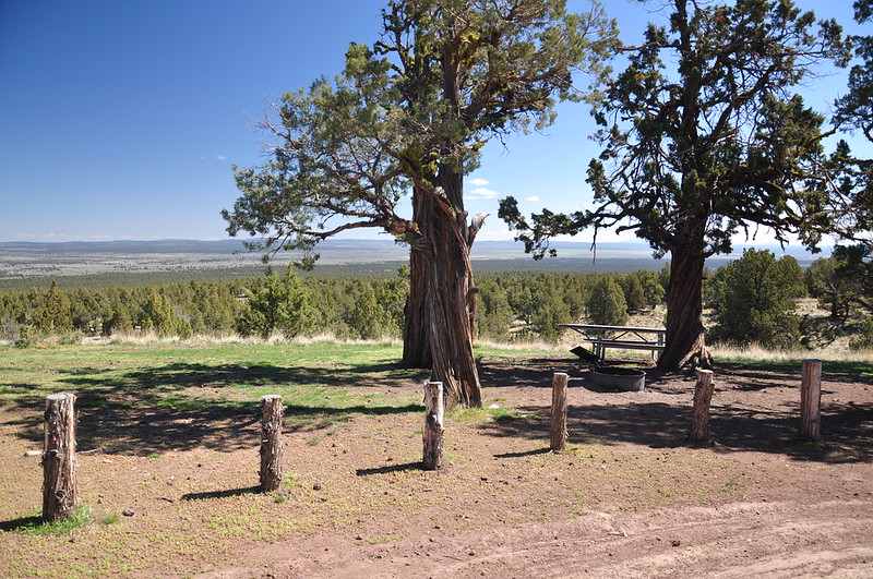
Back at the car we continued north to Green Mountain. We could see the fire lookout as we approached:
We parked in the small unoccupied Green Mountain Campground. This actually looks like a nice spot to stay!
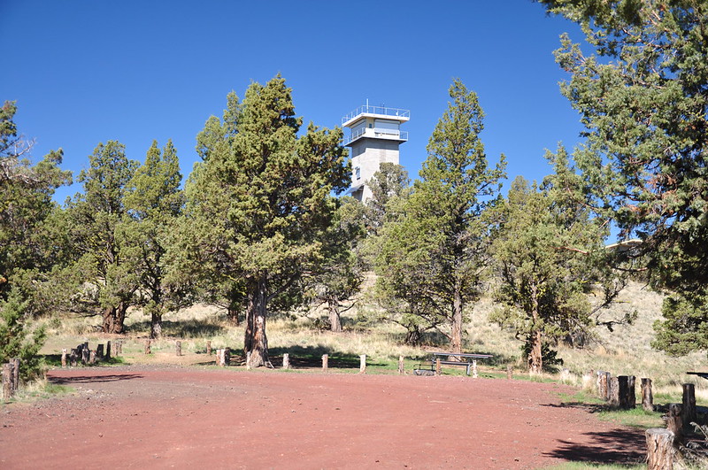
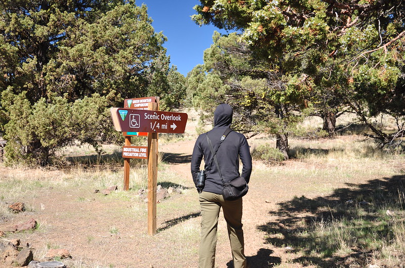
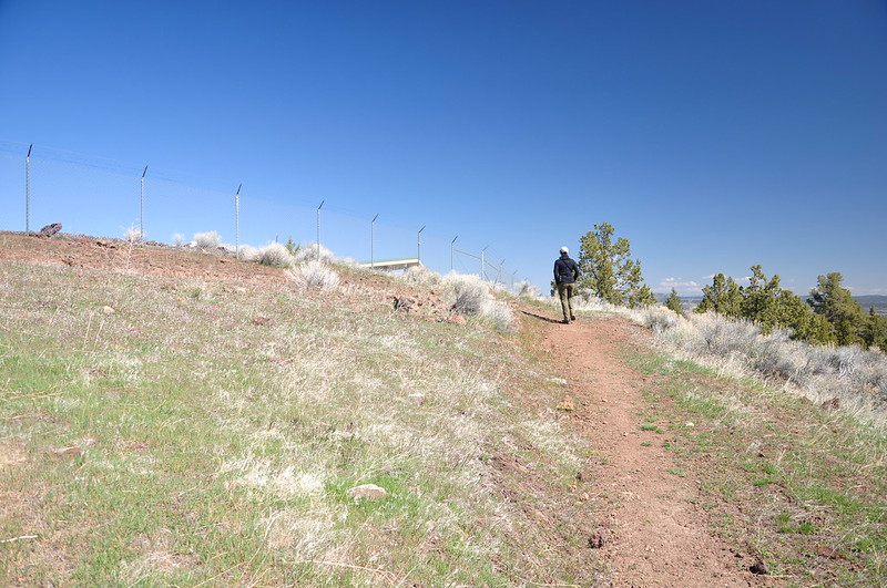
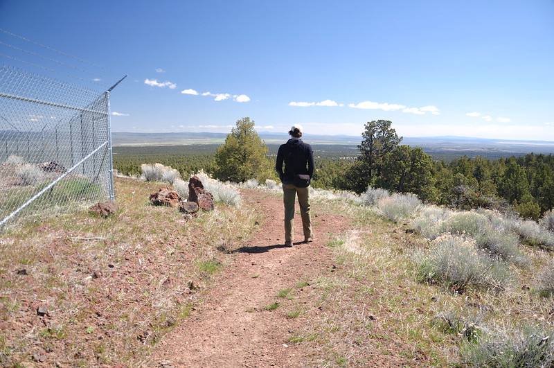
Then we took the short trail up to the lookout:
The first lookout here was built in 1963. Here is Ron Kemnow’s photo from 2006:
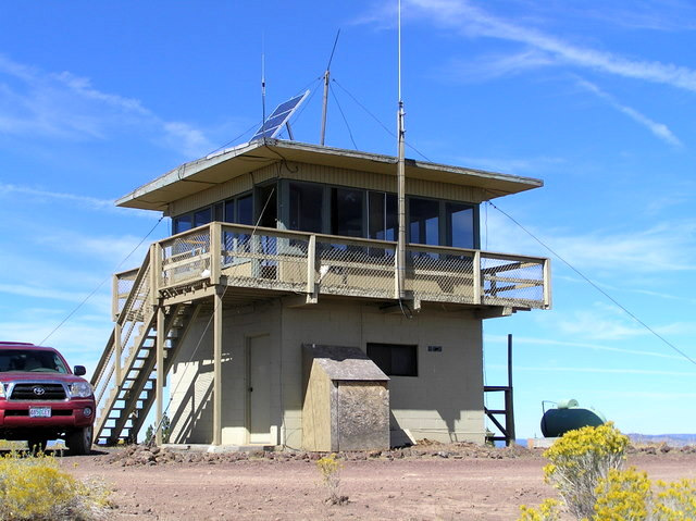
It was replaced by this lookout in 2010. This thing looks like it belongs in some kind of secure government facility:
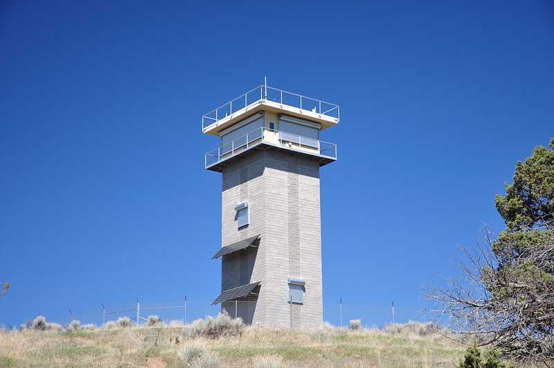
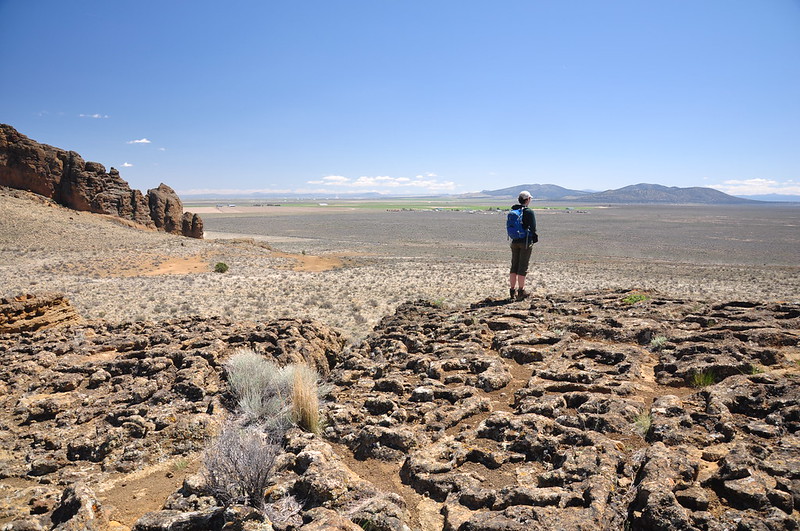
The lookout isn’t staffed yet for the season so we couldn’t go up. But we still had great views from the ground. It was so awesome to have views finally! It’s been such a cloudy trip. Paulina Peak (snowy one at center) and Hogback Butte:
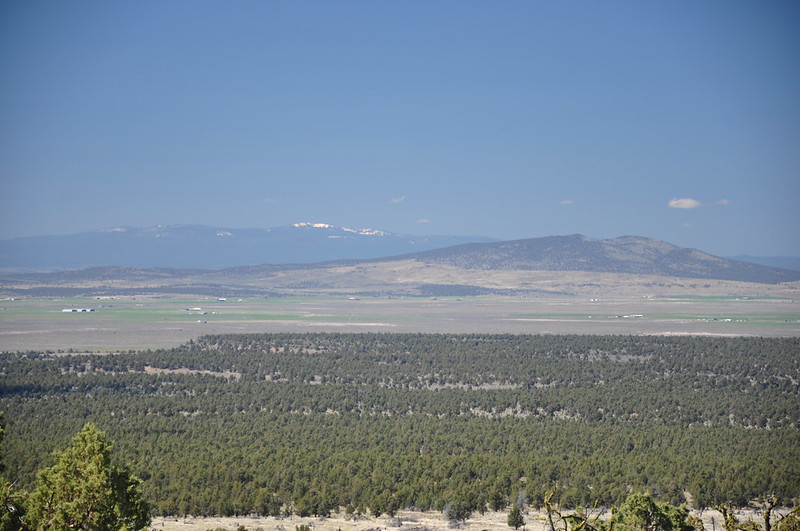
The major peaks from left to right: Odell Butte, Diamond Peak (very snowy), Maiden Peak, and The Twins. The one in the foreground is Cougar Peak:
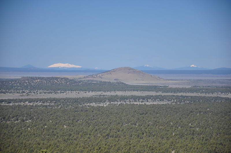
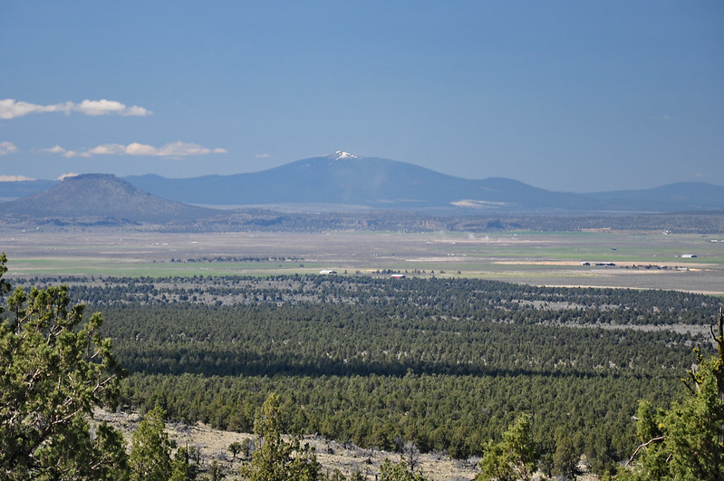
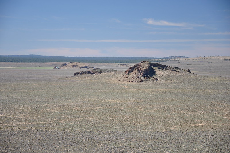
Table Rock and Hager Mountain:
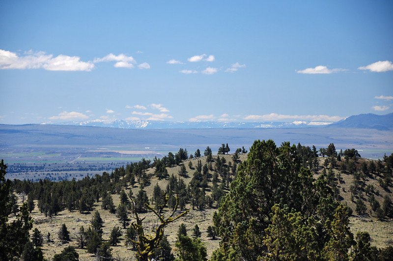
Winter Ridge, which we saw a lot of the previous day:
Then we headed back down:
Our last stop of the day was Fort Rock State Natural Area:
Fort Rock is a volcanic landmark called a tuff ring. Here’s more from Wikipedia:
Fort Rock was created when basalt magma rose to the surface and encountered the wet muds of a lake bottom. Powered by a jet of steam, molten basalt was blown into the air, creating a fountain of hot lava particles and frothy ash. The pieces and blobs of hot lava and ash rained down around the vent and formed a saucer-shaped ring of lapilli tuff and volcanic ash sitting like an island in the lake waters.
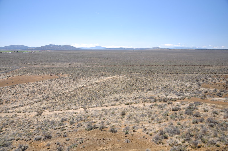
Of course that ancient lake is long gone and there is now just a vast expanse of flat land known as Fort Rock Valley.
There’s a trail that goes around the inside of Fort Rock and we hiked it:
We took a side trail up to the rim where we could see out over the desert. In one of those rock formation Fort Rock Cave is located.
Sagebrush sandals, ranging from 9,000 to 13,000 years old, other prehistoric artifacts, have been discovered at Fort Rock Cave. The property is owned by Oregon State Parks, but you can only go there by guided tour.
Looking down into the middle of Fort Rock from our perch:
Heading back down:
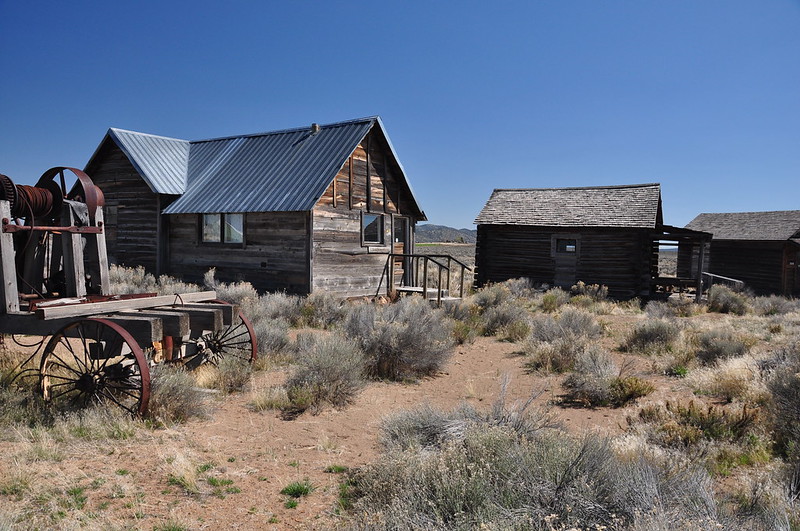
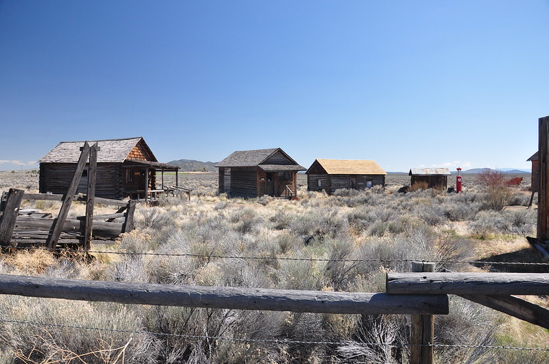
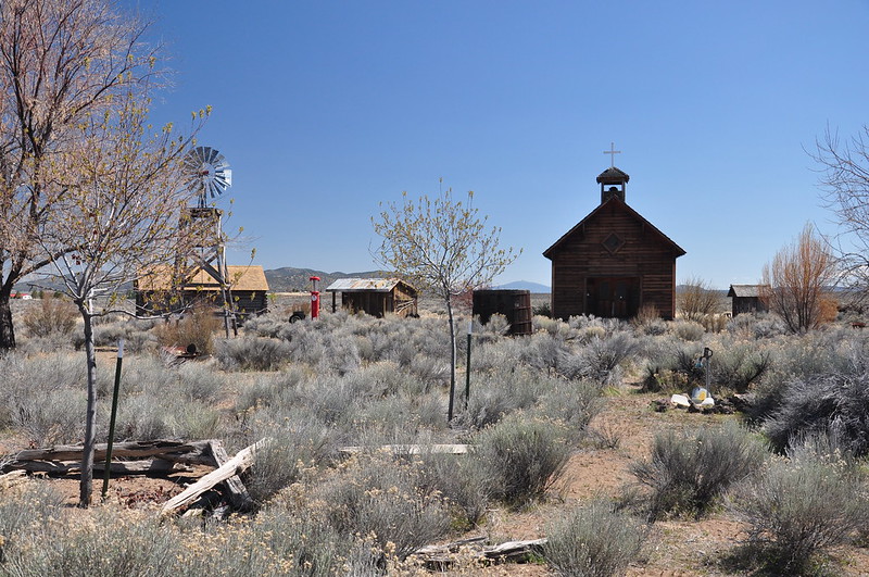
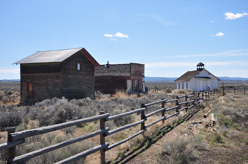
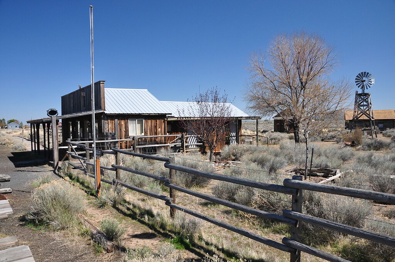
On our way out of the area we tried to visit the Fort Rock Valley Historical Homestead Museum, but it doesn’t open until late May. So we looked at the historical buildings from outside the fence:
And that was our five-day sisters road trip! We had fun and got to see a lot of interesting things that we haven’t seen before. The weather was less than ideal. We’ve been doing this spring trips for about eight years now and this is the first time we’ve had to bail on tent camping and get a hotel. At least we ended the trip on a sunny day!
Video:


