August 7, 2017
When we woke up this morning we could it was a bit hazy from the wildfire smoke. It didn’t seem too bad, though, so we decided to stick with our plan to hike to Helen Lake.
This lake seems to have some name confusion. Maps refer to it as Lake Helen. Hiking books and the internet refer to is as Helen Lake. Even Parks Canada doesn’t seem to know, as evidenced by this trailhead sign that has it written both ways!

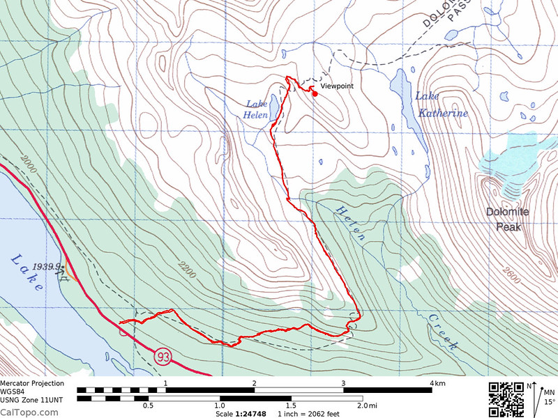
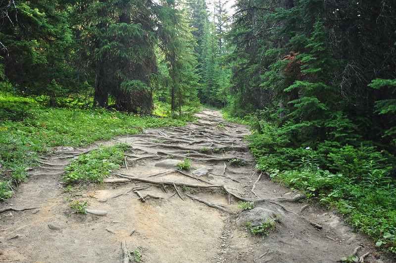
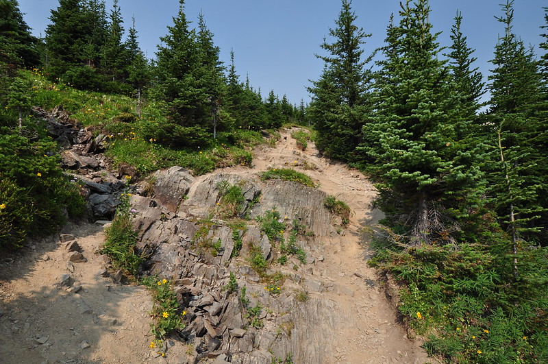
This being our second summer hiking in this area we are noticing a pattern: trails here are badly eroded. In forested areas this means that lots of tree roots become exposed. Often rocks are also thrown into the mix. It makes for slow going. This trail was especially bad:
As we got higher, we realized how smoky it was getting. Crap.
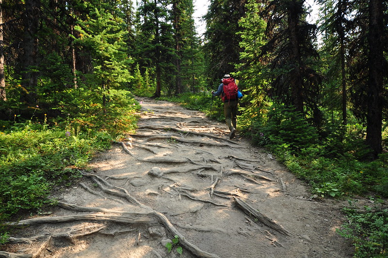
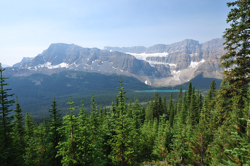
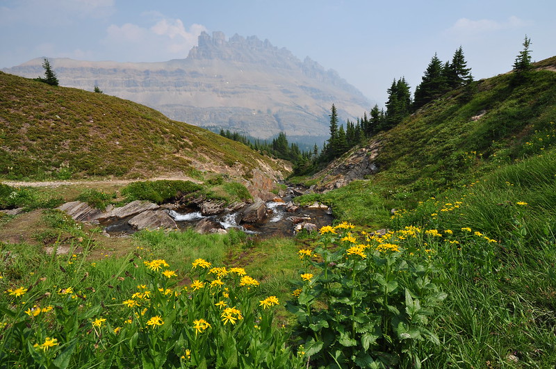
We started to get views of Bow Lake and Crowfoot Mountain:
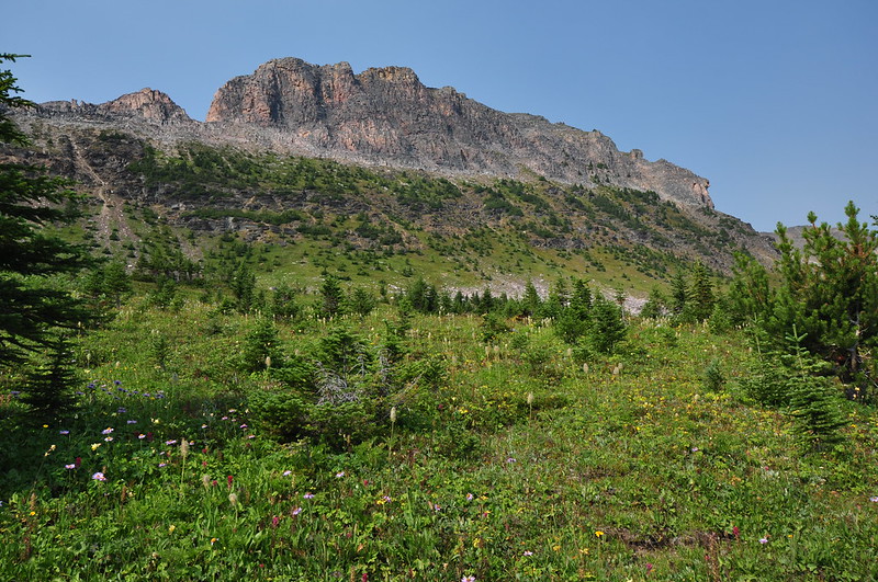
The trail climbed very gradually for awhile then all of the sudden it launched steeply uphill. This section was rocky, crumbly, and poorly-graded. Then the trail topped out with a view of Dolomite Peak (so named in 1897 because it was thought to resemble the Dolomite Range of the Italian Alps):
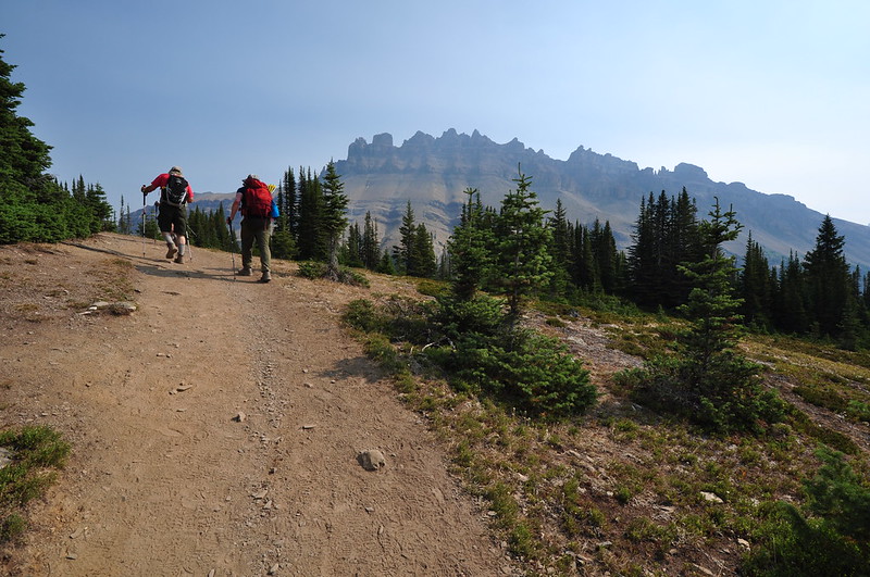
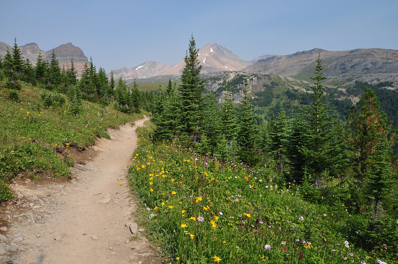
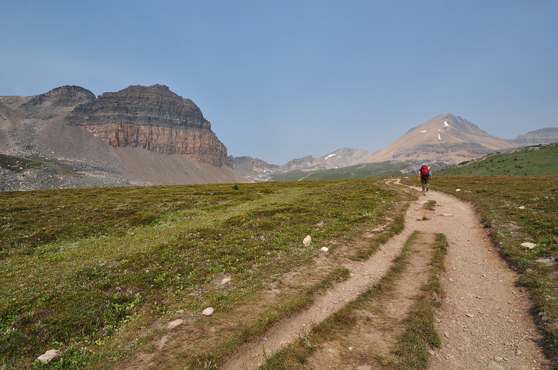
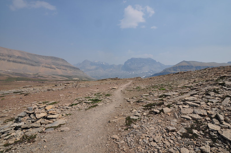
Then the trail headed north along a ridge. We were mostly in the alpine now, which is always great, but the smoke somewhat dampened our enthusiasm:

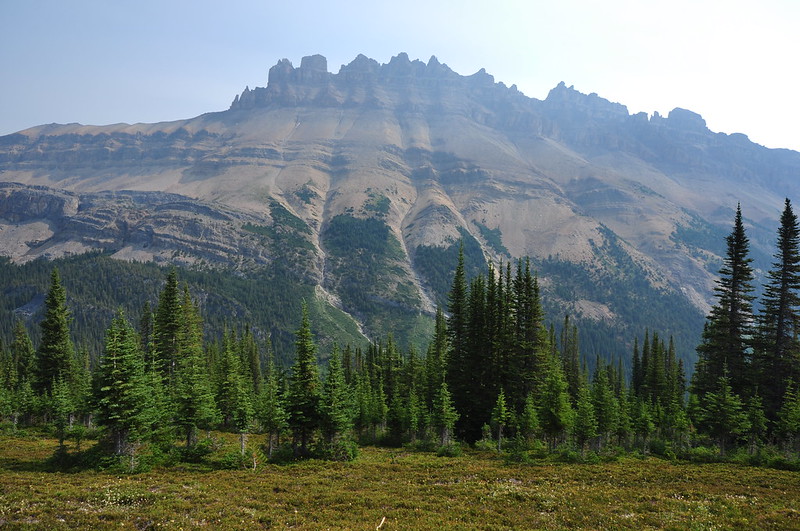
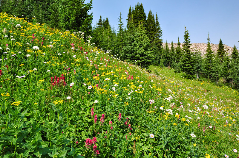
Except for the smoke, it was a rather pleasant ridge walk. Mountains were all around us, and we started seeing wildflowers too:
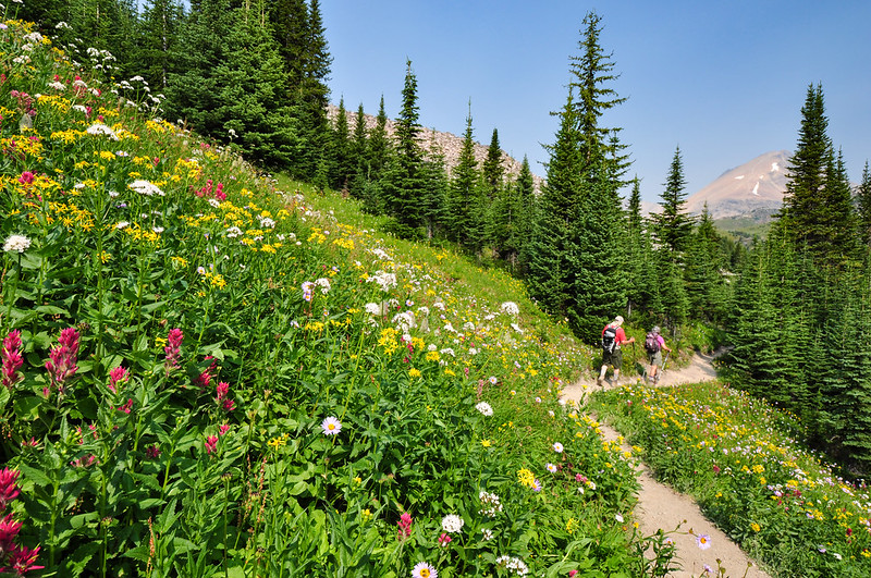
We had mostly left behind the exposed roots, but not the rocks:
I turned around and looked south at one point. All the mountains down there were obscured by smoke:

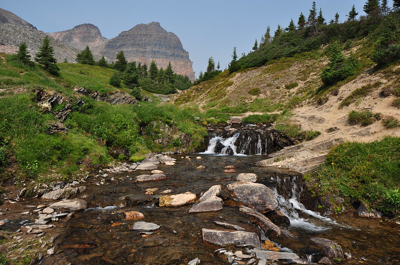
We crossed Helen Creek, which was a delightful gurgling stream:
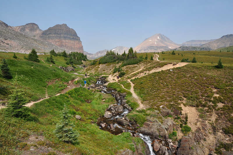
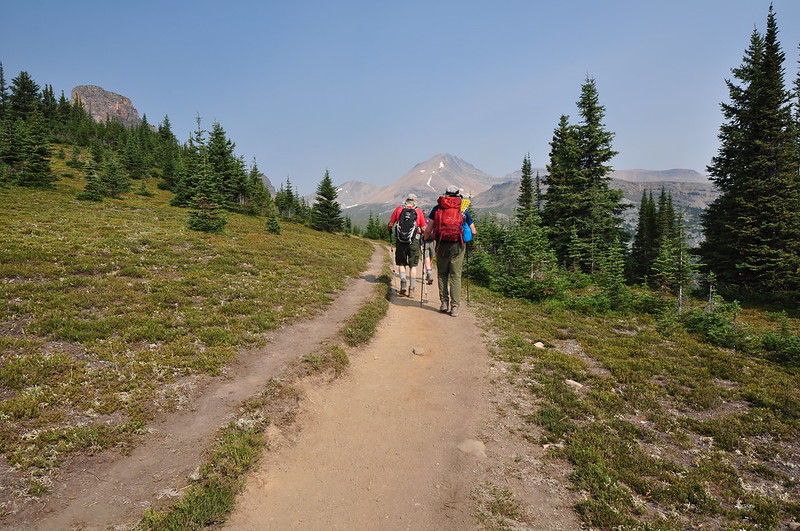
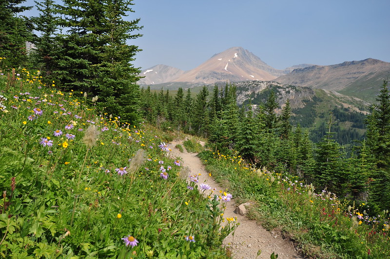
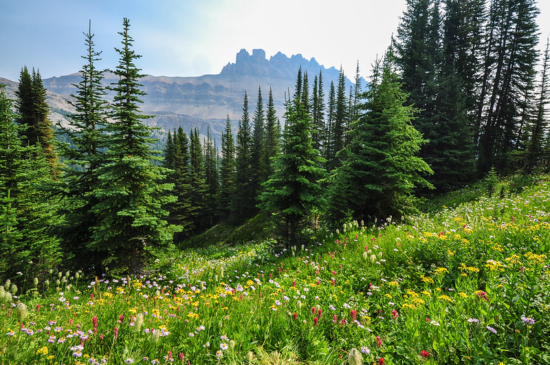
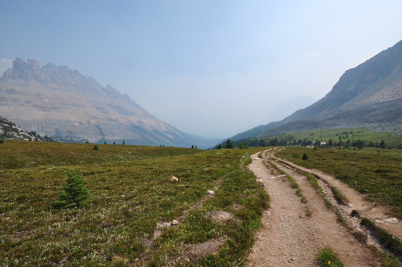
The trail crossed a big open meadow. The peak on the right – which we had been seeing for awhile now – is Cirque Peak:
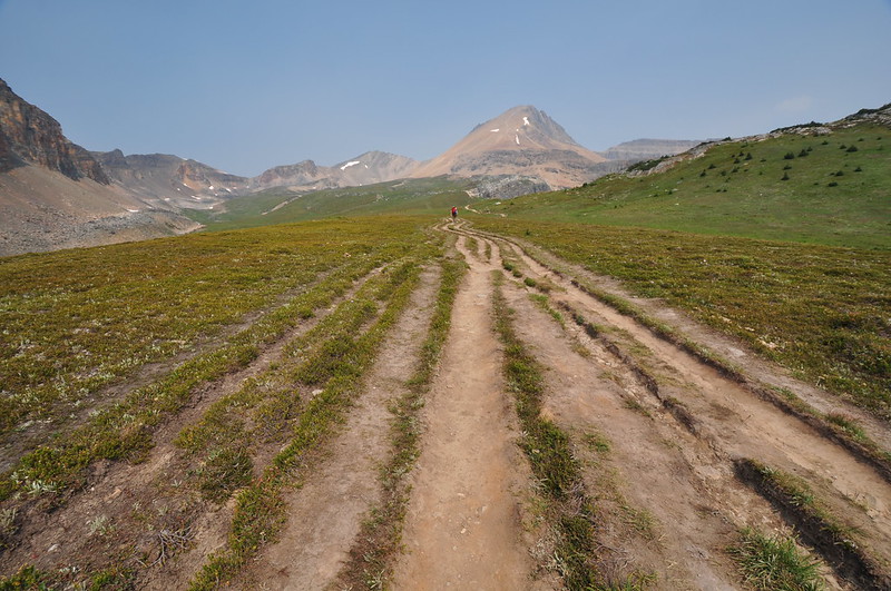
The trail here was a total mess, with numerous tracks side by side:
I should mention the bugs, which were bad. We’d had mosquitoes and now we were getting biting flies too. Then the spray pump on our bug spray stopped working for no apparent reason. It seemed cruel of Mother Nature to inflict bugs (usually an early summer occurrence) as well as smoke (usually a late summer occurrence) at the same time.
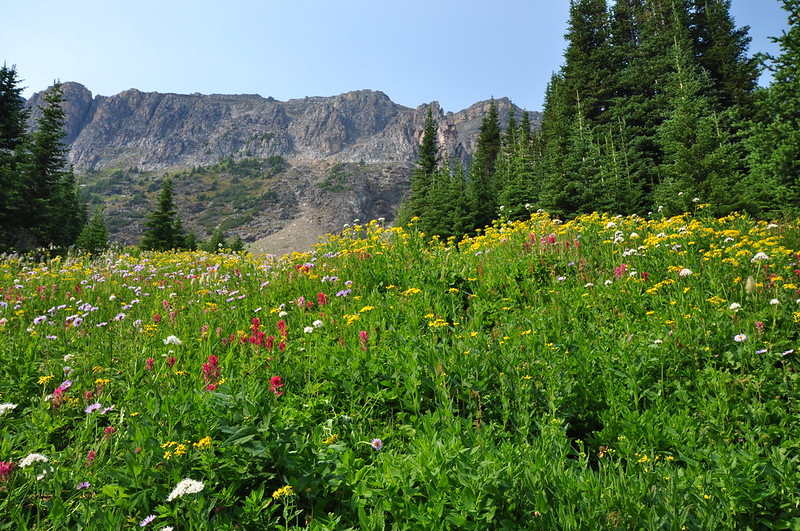
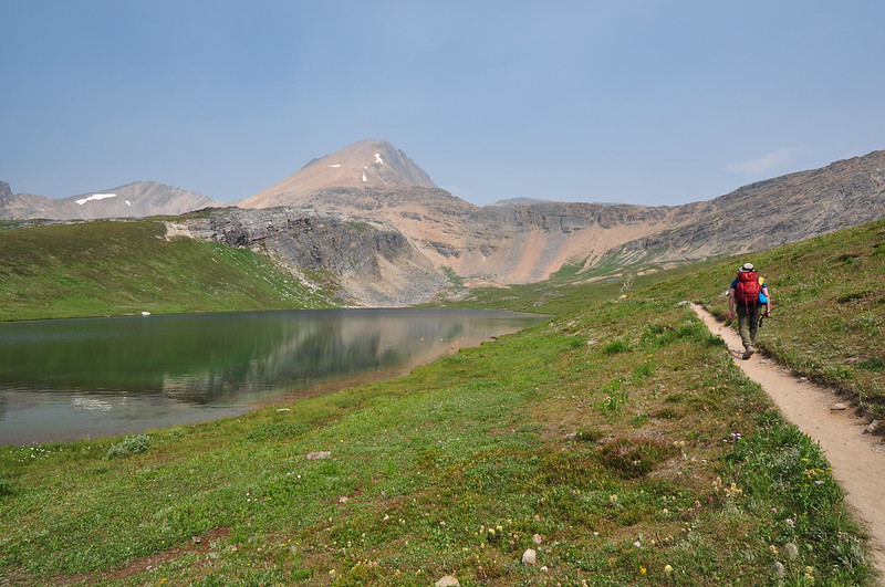
After 3.7 miles and 1,400′ elevation gain we reached Helen Lake, a pleasant little body of water where a bit of breeze kept the bugs at bay. Cirque Peak is dead center and you can see the trail to the top. We saw hikers on it. Our guidebook said: “Strong hikers can reach even better views by scrambling up the broken screen slopes to the north leading to the summit of Cirque Peak, one of the most easily-ascended mountains in the park.” Wow. I bet the views are great up there on a clear day, but why would anyone waste the effort to go up there today when it’s so smoky you are cheated out of the view?

We paused at the lake and ate some lunch, then continued on to a rocky ridge above the lake where the view was supposed to be good:
We had heard there were supposed to be a lot of marmots around here but had yet to see one. On the way up to the ridge we saw just one, and Greg got a nice photo of it:

The haze continued to increase. Looking back at the lake:
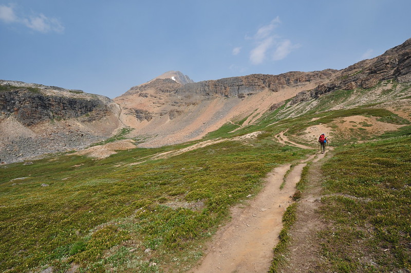
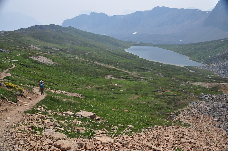
Looking back down the trail as we climb up to the ridge. The lake is out of view on the left and Cirque Peak is on the right:

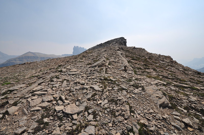
The trail topped out on the ridge:
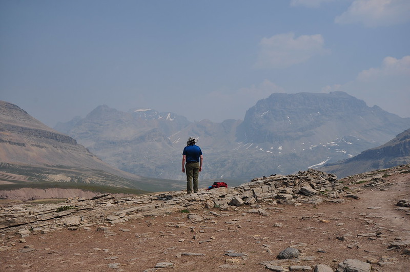
I decided to follow a boot path to a high point above the trail:
Greg got a shot of me up there:

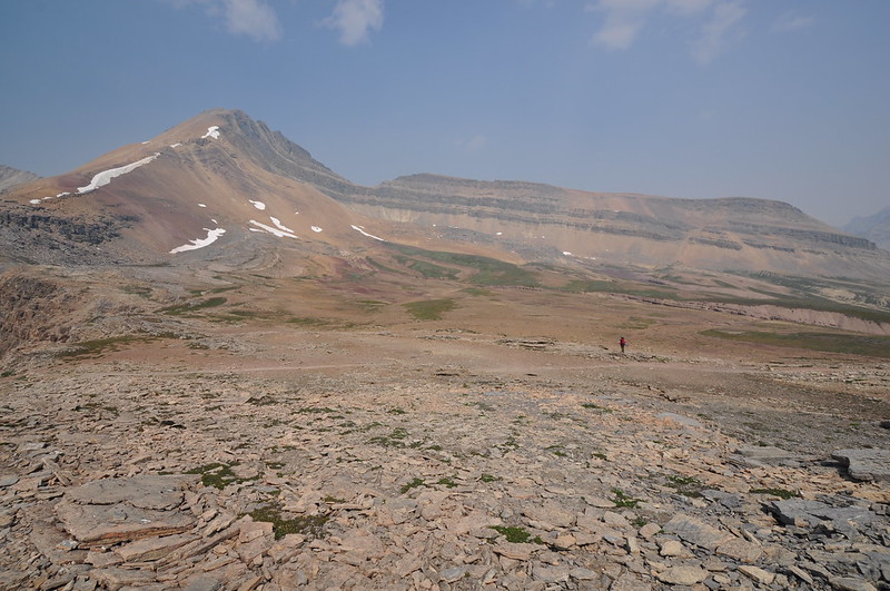
Up there at 8,400′ you would think the view would be phenomenal, and it probably is on a clear day. Today the view was quite hazy in all directions, but especially so looking south:
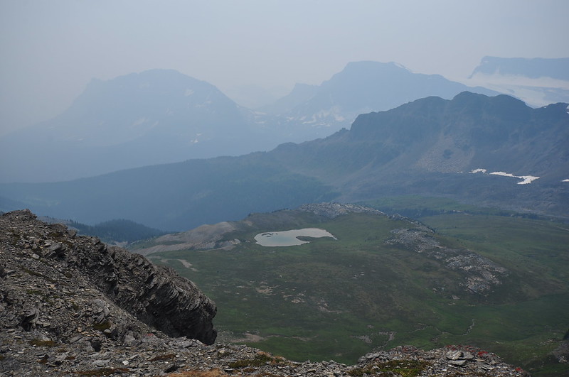
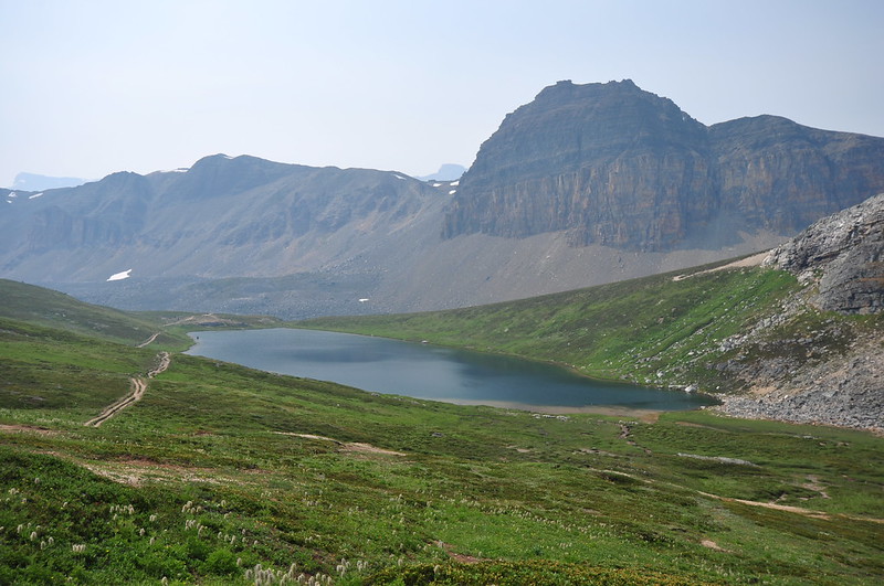
Looking down on Helen Lake:
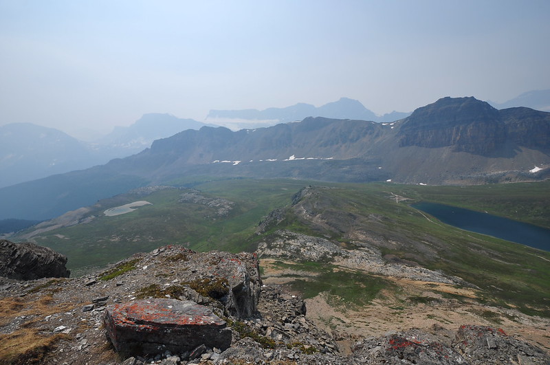
Looking back down at the trail on the ridge with Greg towards the right:
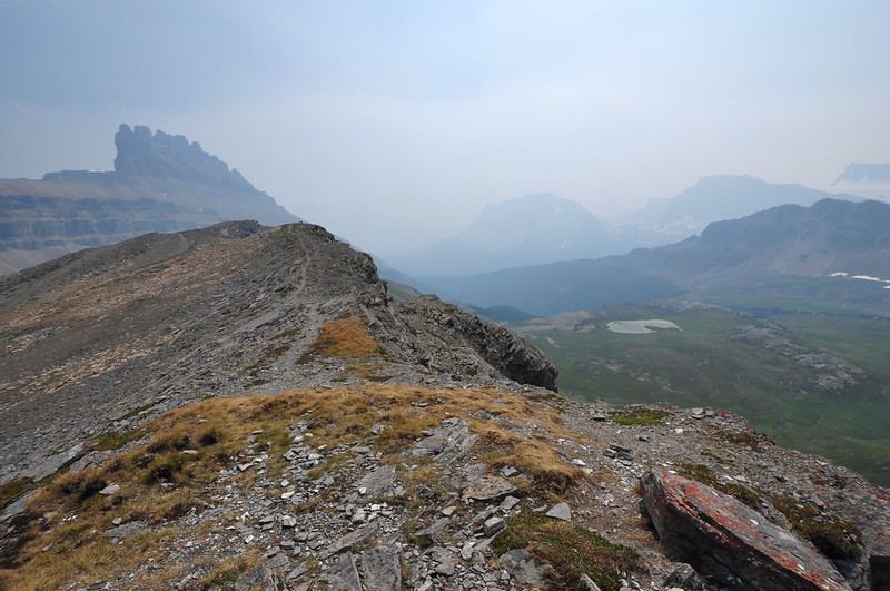
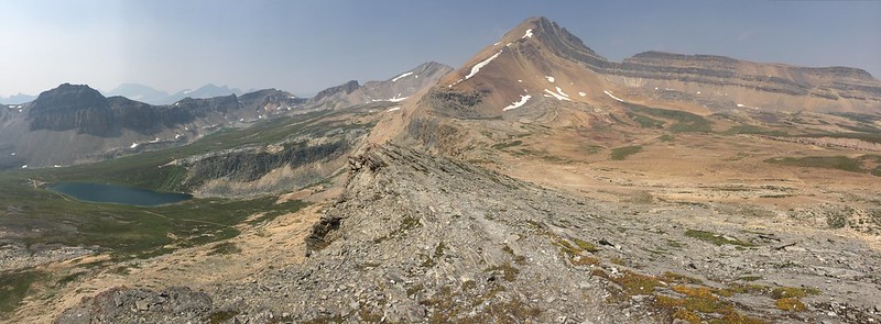
A panorama to the north with Helen Lake on the left and Cirque Peak at center:
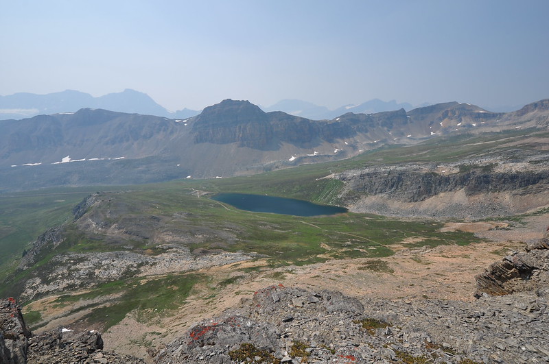
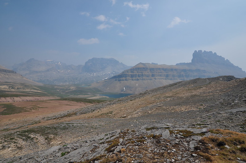
Looking east. Dolomite Peak is on the right and you can see part of blue Katherine Lake in the center. Beyond that lake is a little round pale blue tarn. That’s where Dolomite Pass is. Backpackers can continue on the trail many more miles past that point up to Isabella Lake:

Tired of looking out into a sea of smoke from on high, we started hiking back:
The creek crossing, with Dolomite Peak behind:
The view of Crowfoot Mountain and Bow Lake was a lot different than it had been in the morning:

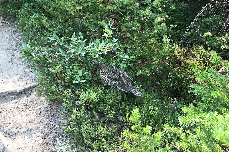
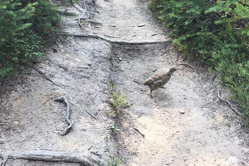
The last two miles of descent on the rocky rooty were trail were pretty brutal. It was hot and smoky and the trail was in bad shape. We couldn’t just cruise along because of how bad the trail was. But then we heard a noise in the trees and the next thing we knew a ptarmigan mother and her brood crossed the trail. The babies made soft cheeping noises while the mother clucked in concern. We waited for everyone to move along before we kept going.

We finally got back to the car at 5pm, tired and hungry and discouraged by the smoke. 9 miles and 2,100′ elevation gain: