April 29, 2017
Today we hiked up Northrup Canyon, which is part of Steamboat Rock State Park. John and Caty Northrup moved into this canyon in the late 1800s and tried to make a living here. Washington State Parks acquired the land in 1976, but they left the old homestead buildings which still stand today. A trail beyond that goes up to Northrup Lake. This hike had a great mix of scenery and history and was really fabulous!
From the trailhead the road continues up the canyon to the old homestead, but hikers park here and walk the rest of the way:
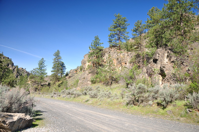
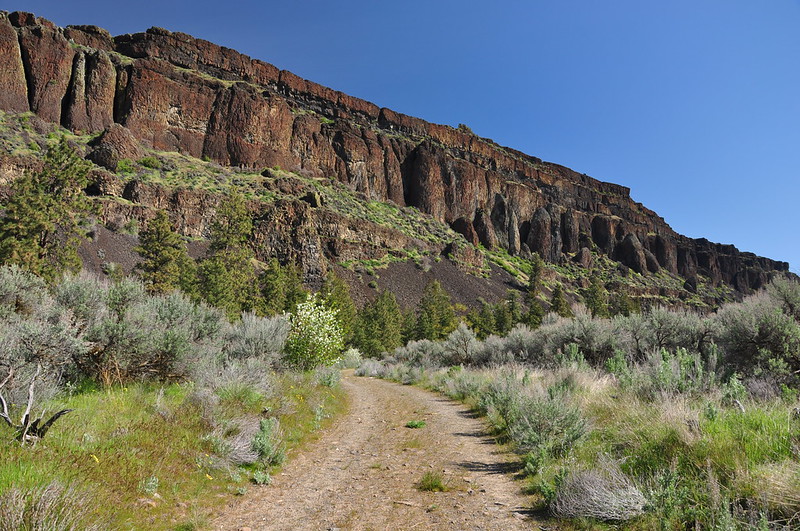
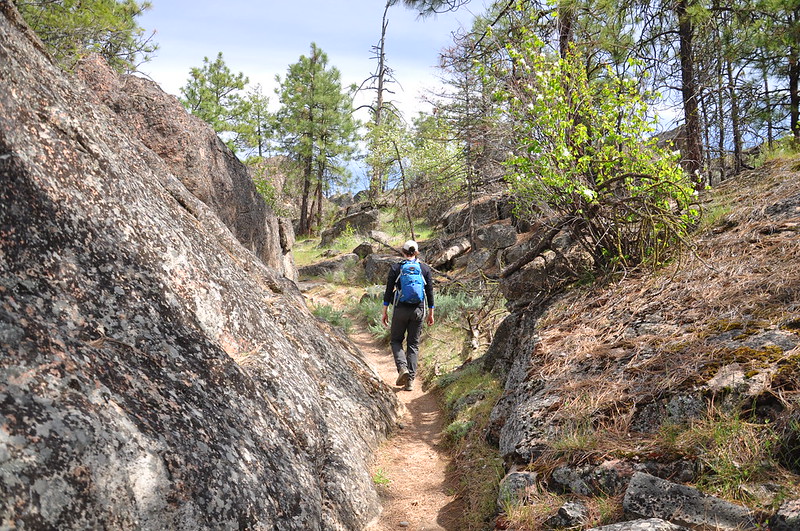
Heading out:

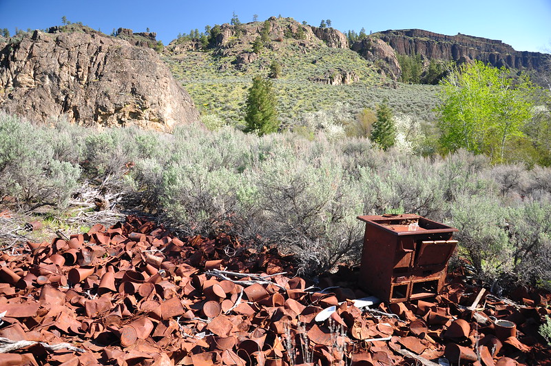
We soon passed this rusty stove and pile of rusty cans. When the Grand Coulee Dam was being built there were worker camps located near Northrup Canyon. They dumped their kitchen refuse here and ironically enough this old trash pile is now protected.
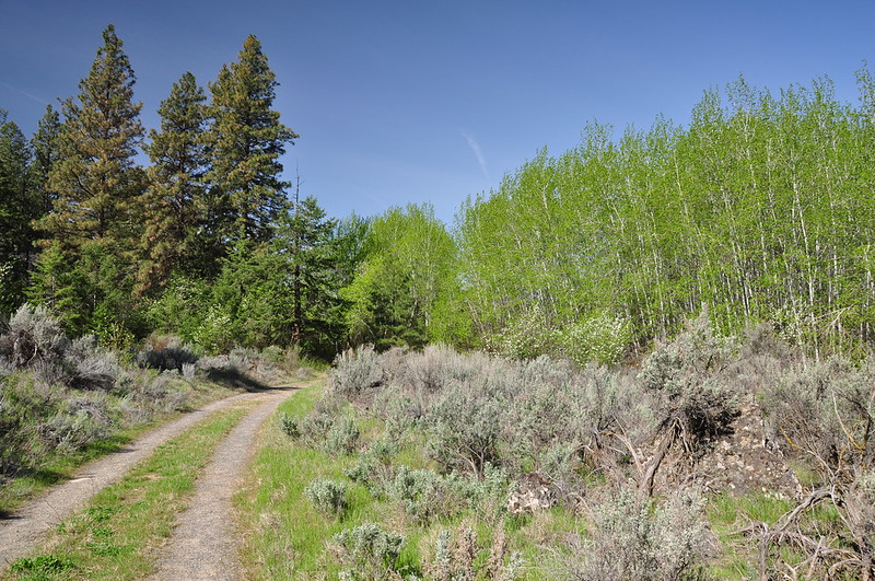
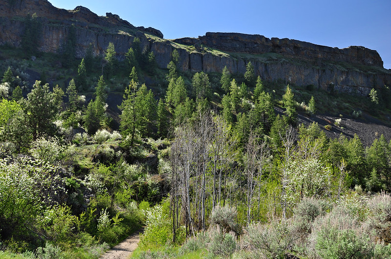
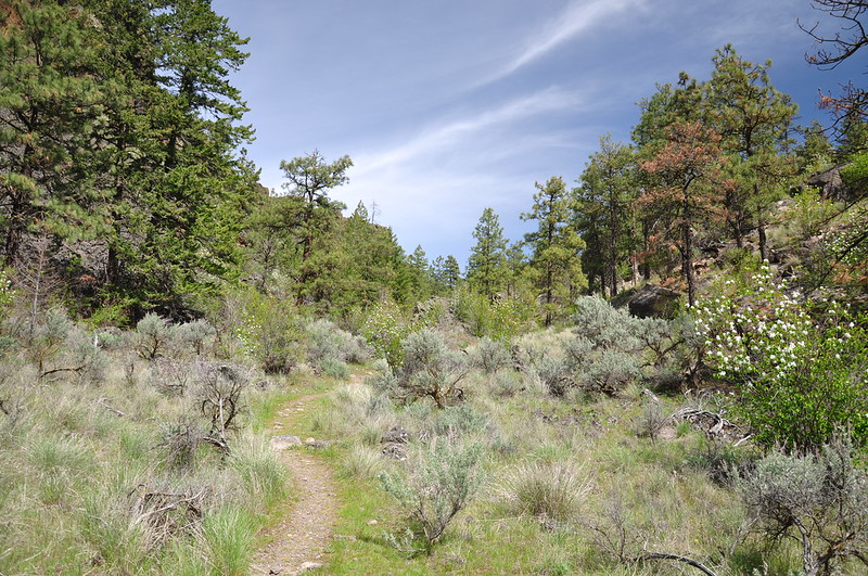
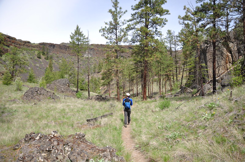
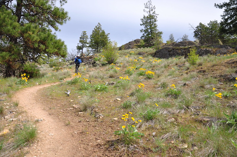
Hiking through a pleasant forest. Northrup Canyon is home to the only native forest in Grant County, Washington:

A stand of aspen:
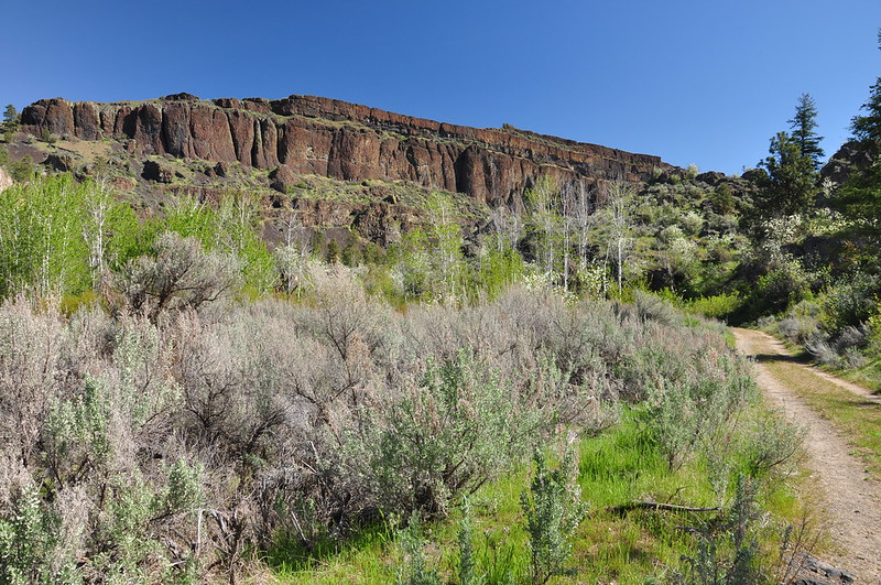
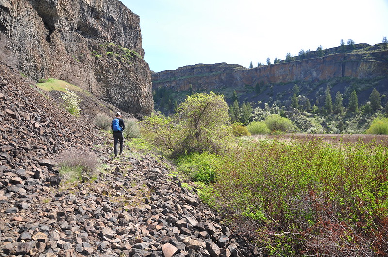
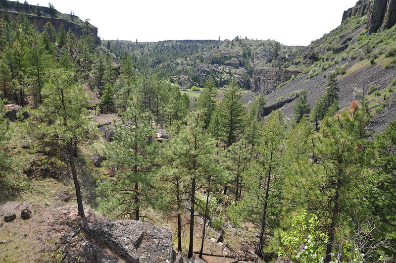
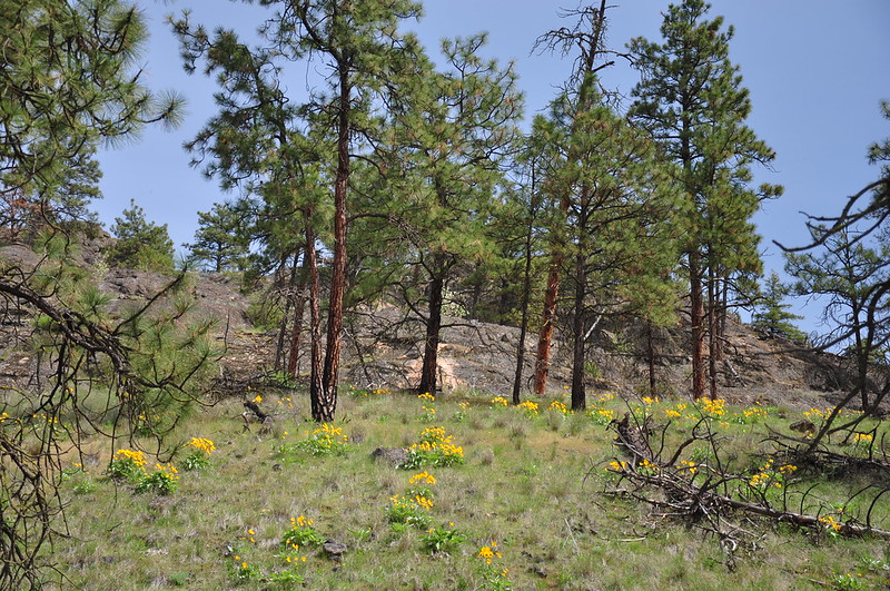
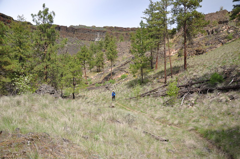
It was really pretty back in here. The basalt canyon walls rose 700+ feet above us. It felt like an entirely different place from the surrounding landscape outside the canyon:
One stretch of muddy trail had attracted these cute little white crowned sparrows:

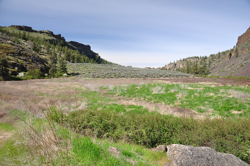
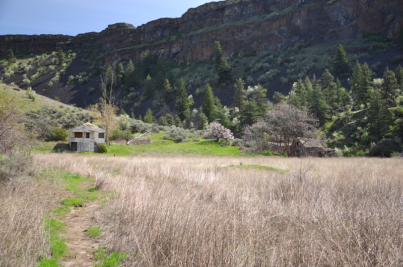
The road skirted around a big flat area that was probably a farm field back in the day:
The creekside trail was flooded for a bit…
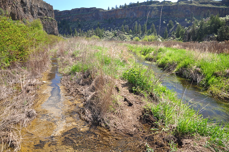
…so we had to detour over to the scree slope:
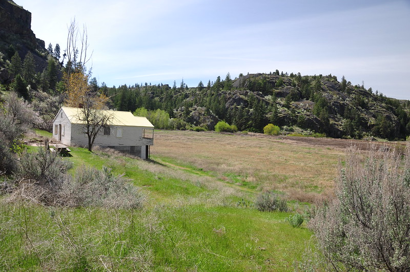
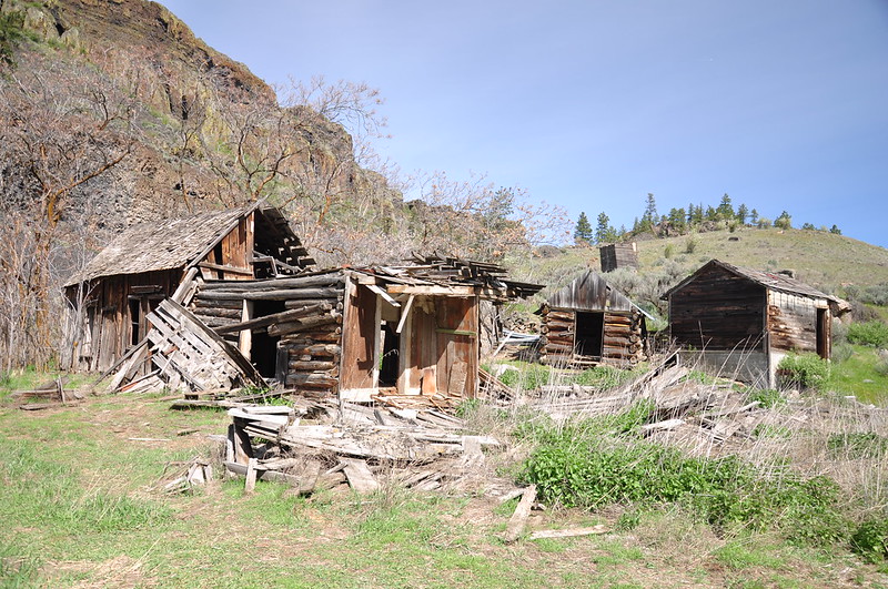
Then we could see the old homestead ahead. According to Judy Bentley’s Hiking Washington’s History, “John W. Northrup settled in the canyon in 1874, then built a barn out of logs, filed a notice of water rights, started an irrigation program, and finally, in 1904, installed a water system. He planted the area’s first orchard.” In the photo below the original house is the one on the right behind the tree. The house on the left was built later, although I’m not sure when:
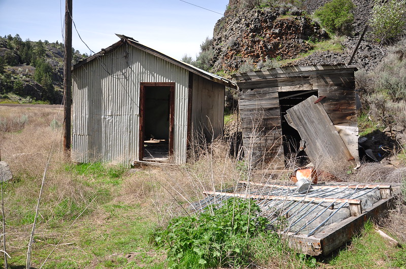
Various outbuildings on the left with the “newer” house on the right:

We had a lot of fun exploring all around the old homestead:


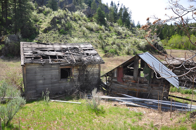
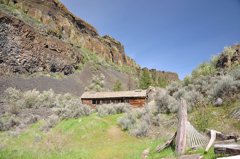
The newer of the two houses is in surprisingly good shape considering the lack of maintenance and that’s open to the elements. I can’t find any information about what year it was built, but according to Bentley “After the Northrups left and the ranch was used to range cattle, the canyon once again flourished as a farm when new owners brought in electric power and ran thirteen sprinklers to irrigate alfalfa in the 1970s.” So maybe the house dates to that time:


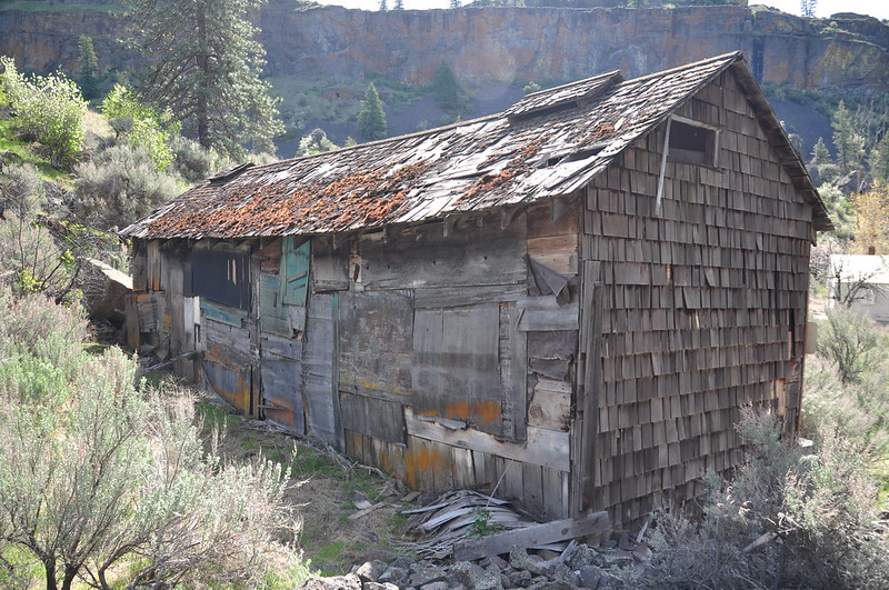
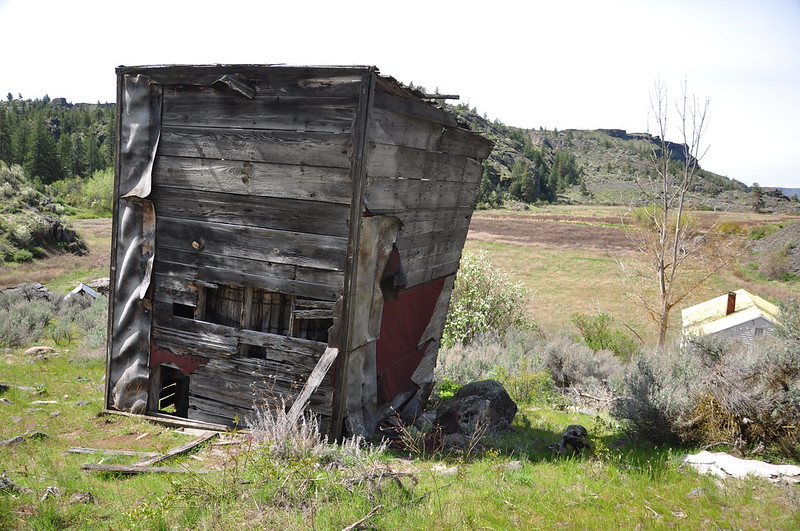
The building on the left is the original house, looking worse for wear:
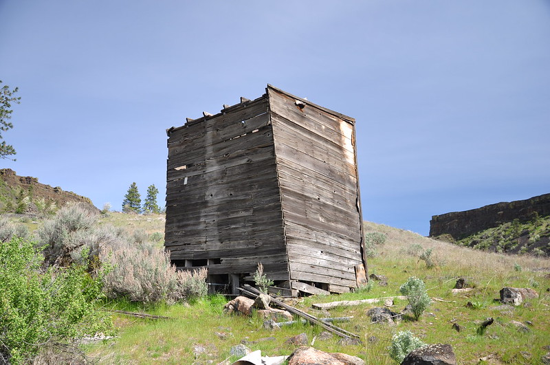
Crumbling buildings behind the original house:
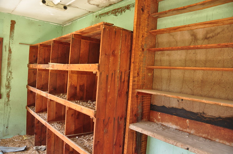
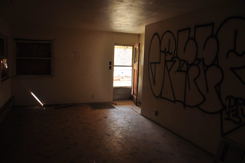
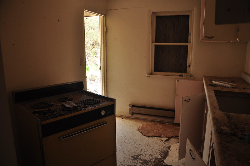
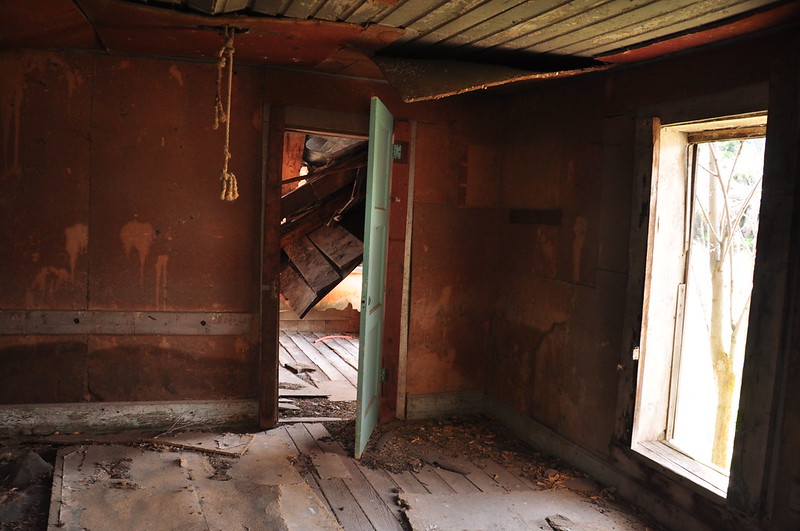
Inside the original house:
There’s a big old water tank up on the hill:
The old road ends here at the homestead, but a trail continues up the canyon behind that building. That’s where we’re headed next!
Looking back towards the homestead:
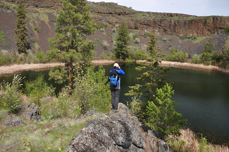
The whole stretch of trail between the homestead and the lake was really nice:

Saw a marmot!

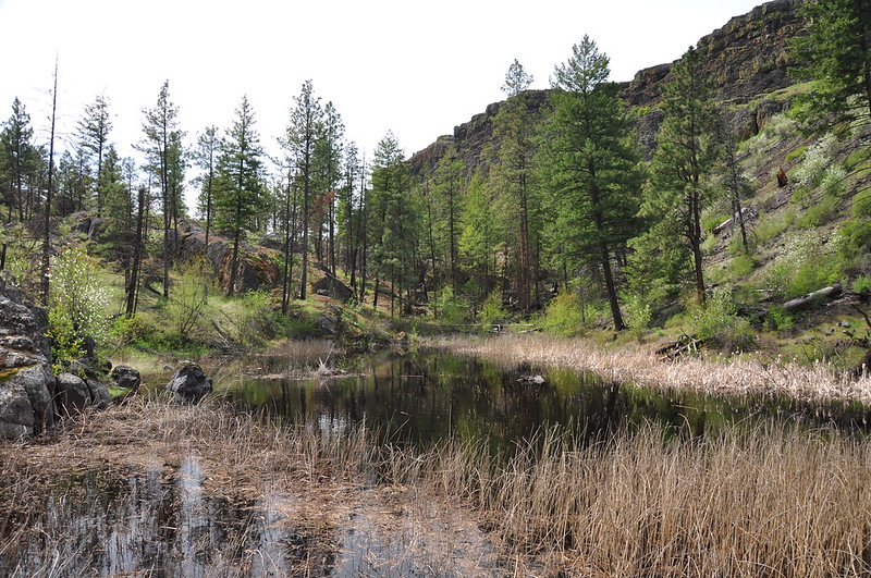
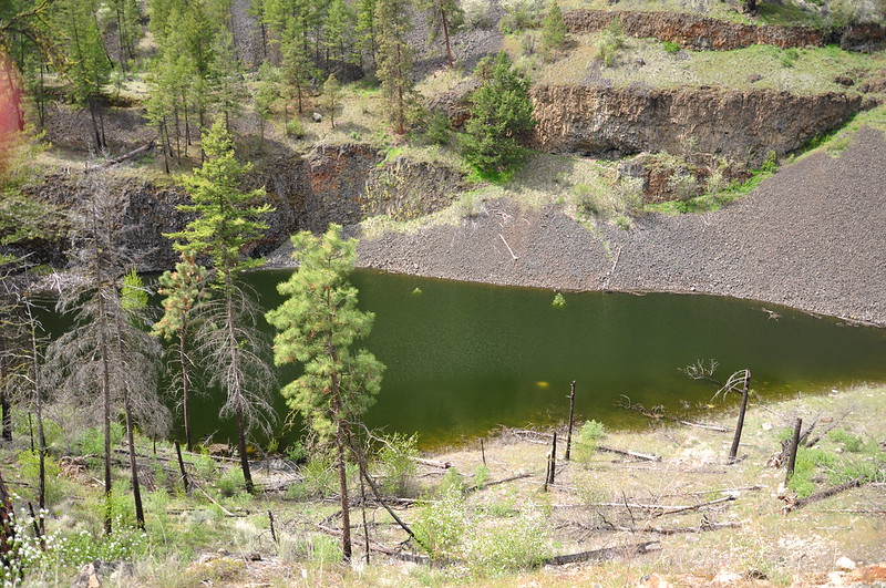
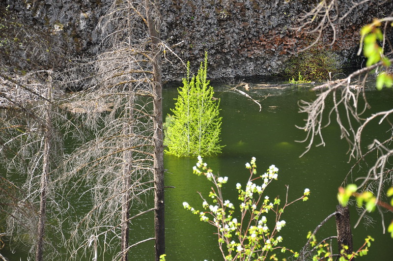
We passed a series of ponds which I think are snow melt ponds. Some of them were drowning trees!
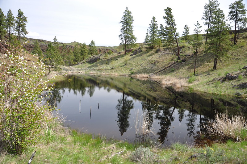
The trail ends at Northrup Lake, where we hung out for awhile and enjoyed the peace and quiet before heading back:


By the time we were approaching the trailhead the sunny day had turned overcast:

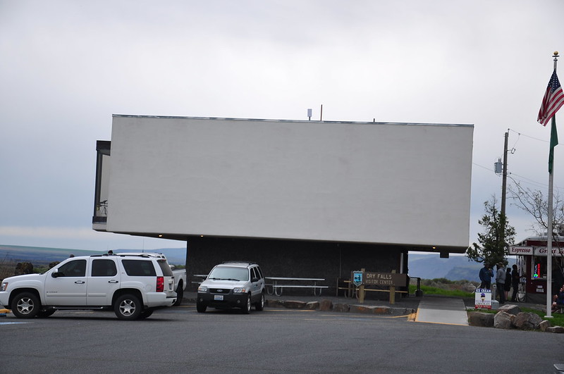
We sat at the truck eating chips and salsa and chatting before we hit the road. On our way south we stopped at Dry Falls. Unfortunately the visitor’s center refused to let us in even though they weren’t supposed to close for another 10 minutes. Lame.
We took a look out over the landscape. It’s pretty impressive. Here’s the description from Washington’s Channeled Scablands Guide: “Dry falls is the spectacular remnant of a waterfall found at the midpoint of Grand Coulee. The 3.5-mile-long scalloped precipice is some 400 feet high and ten times the width of Niagara Falls. The cataracts, when they were running, were through to comprise the greatest known waterfall that ever existed. Geologists believe that water flowed in this vicinity at some 65 miles per hour through Upper Grand Coulee and over the rock face. So deep were the floodwaters, however, that had one been able to view the sight from above, the falls themselves would likely have looked like a mere dip in the swiftly flowing, 700-feet-deep torrent.”
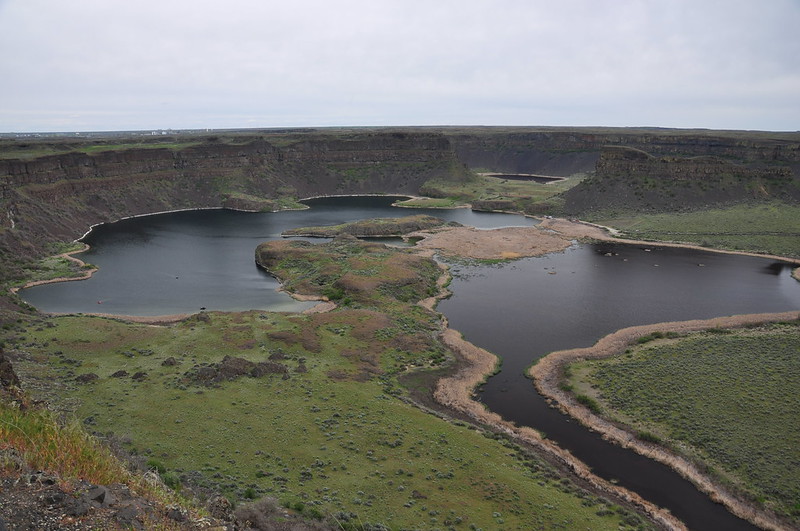
Here’s a pano I took with my iPhone:

We ended the day in Vantage where we got a campsite at the Vantage Riverstone Resort. I think this place is probably hopping in the summertime, especially when there’s a concert at the Gorge Amphitheater, but there was hardly anyone around when we were there:


