May 15-20, 2015
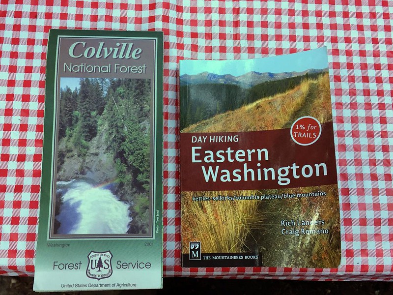
This year for our spring trip Deb and I headed to the NE corner of Washington to explore some hikes in the Colville National Forest. On our way through Kettle Falls we stopped at the ranger station and asked if they had any ranger district maps for the area. She pointed at the 14-year-old Colville National Forest map and said “that’s it.” Well, then.
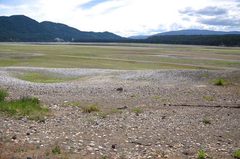
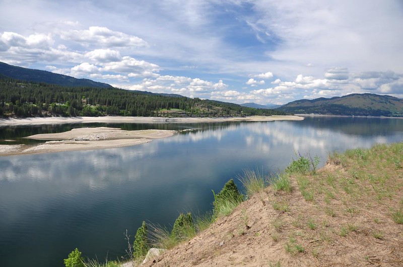
We drove up Highway 25 to Evans Campground and got out to have a look at Lake Roosevelt. The water level is REALLY low, so it doesn’t look like much right now.
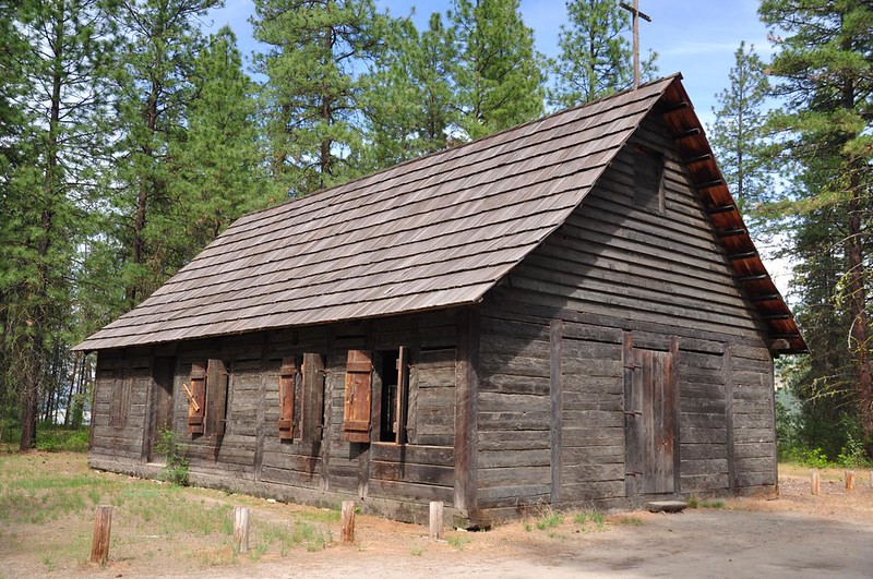
We stopped at St. Paul’s Mission. The guy at the museum told us that the lake level is always low this time of year. Because it’s a reservoir the lake would “reappear” soon for the summer recreation season, thanks to the Grand Coulee Dam.
The old mission building has been restored and is now open to the public.
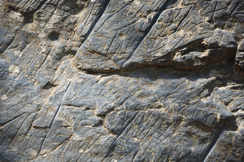
At the mission is a cool old boulder with some history. This grooved boulder was a favorite whetstone used by Native Americans who camped along the Columbia River. It was left here by a glacier and is made of amphibolite, more fine-grained than local bedrock.
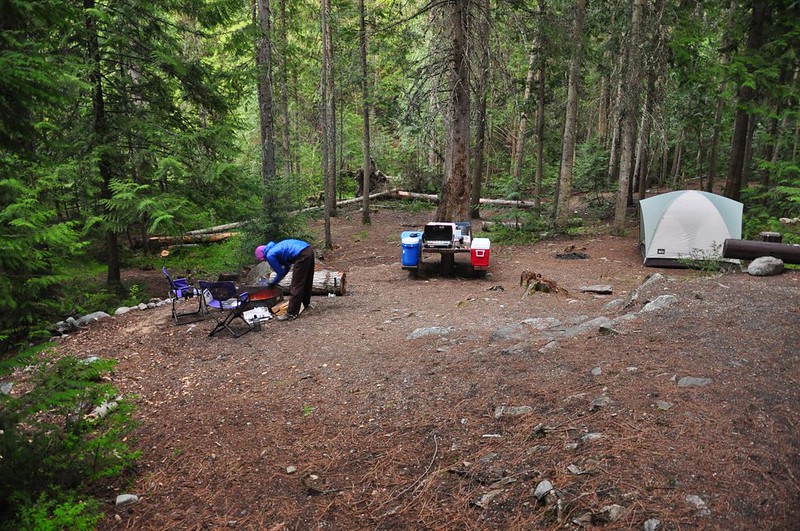
We drove up to Trout Lake and snagged one of the five sites. This campground is at the dead end of a five-mile-long gravel road. We had a nice private campsite with nice tall trees, and the lake was a 60-second walk away. The birds serenaded us from dawn to dusk, and the frogs took over at night. So awesome! It was, for the most part, pretty quiet. There was a bachelor party at the other end of the campground on Friday and Saturday nights, but they weren’t obnoxious.
Our bible for the trip was Day Hiking Eastern Washington, by Craig Romano and Rich Landers. I haven’t found any other hiking book, past or present, that covers this area with more than a passing mention.
Day 1: Hoodoo Canyon
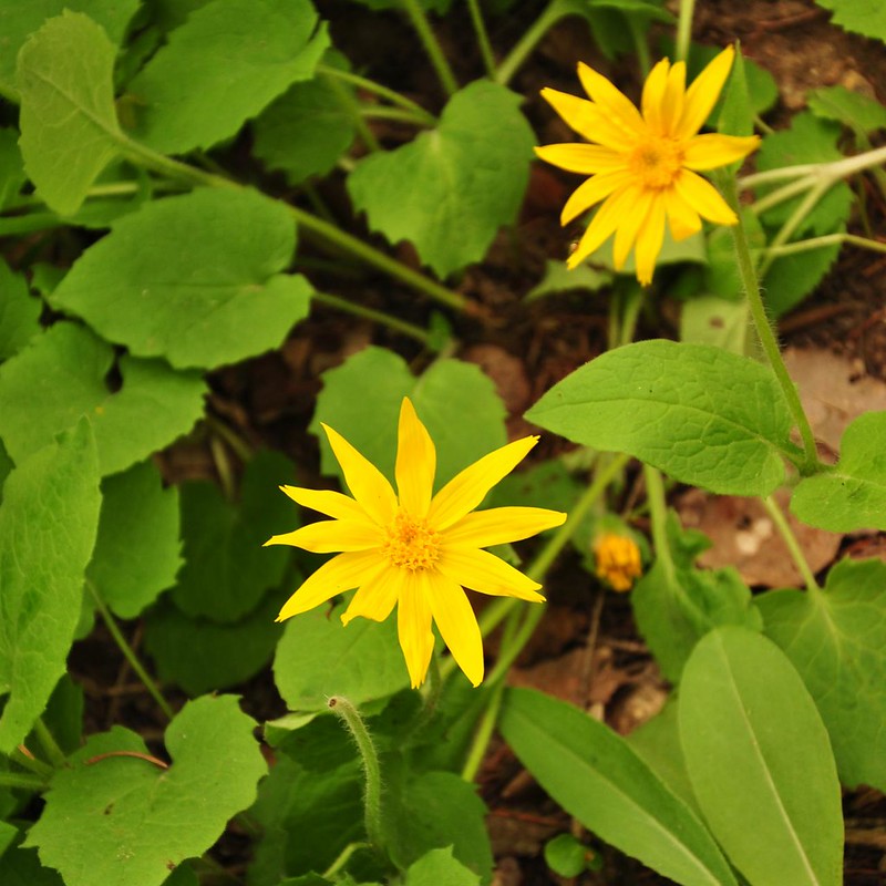
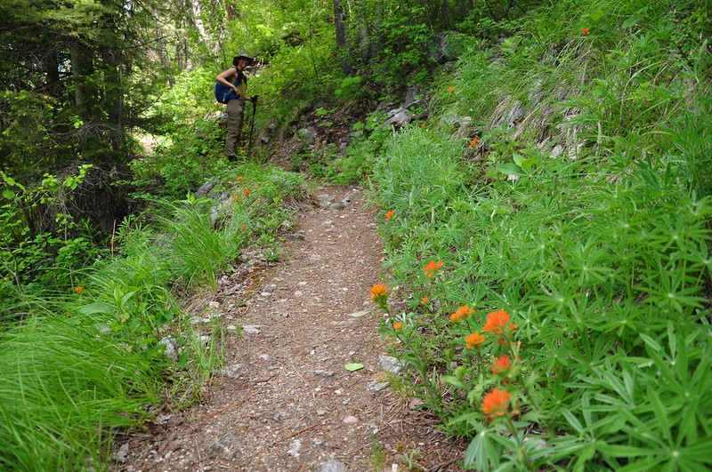
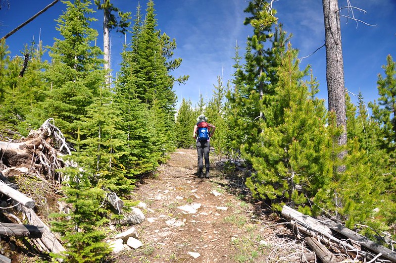
Saturday was supposed to be the cloudier day (it wasn’t) so we stayed low and hiked the Hoodoo Canyon Trail, which had the added benefit of starting right from our campground. We saw quite a few wildflowers, including balsamroot, paintbrush, Oregon grape, larkspur, serviceberry, lupine, lilies, wild strawberry, violets, and pentstemon.

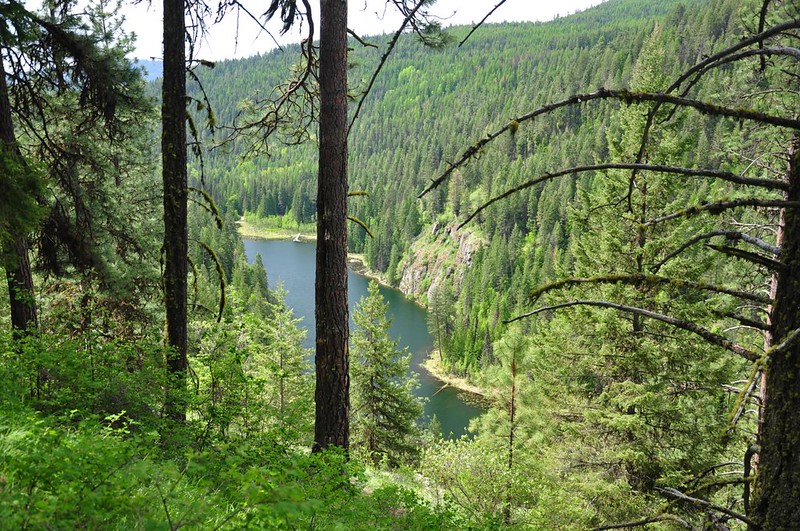
Looking down on Trout Lake:
When we stopped for a quick snack and some sunscreen we discovered that we each had ticks crawling on our clothes. We knew this was a “ticky” trail and we had done all the necessary tucking-in and all that. We both HATE ticks and we flicked them off each other’s clothes, which is actually hard to do! They stick like velcro! We flicked them off, returned to snacking and sunscreening and then they reappeared like something out of a horror movie. We think they were crawling up our shoes and onto our pants. Shudder.
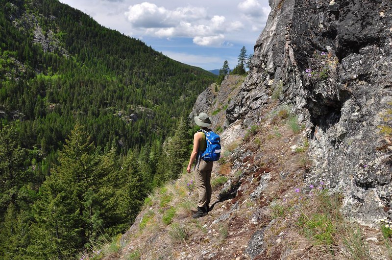
We continued on to a sort of viewpoint where we could see up the canyon:
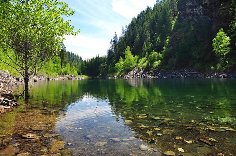
Then we turned and headed back to a junction where a side trail that goes down, down, down to Emerald Lake at the bottom of the canyon. It is a beautiful and aptly-named lake surrounded by cottonwoods. Quite lovely! Ticks be damned, we hung out here for awhile enjoying the scenery. It was turning out to be a warm cloudless day (so much for the forecast) so Deb even went for a swim!
After flicking the ticks off our packs and clothes we headed back. A tick inspection later revealed neither of us got bitten, thankfully.
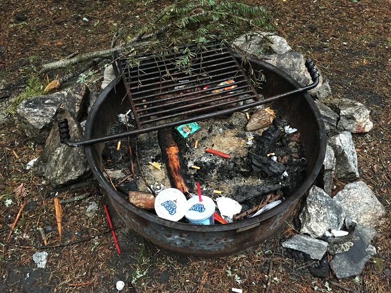
When we got back to our site a large family was using the site next to ours as a day use area. When they left we found they had declined to take their trash with them. HUGE pet peeve of mine.
Day 2: Wapaloosie Mountain
It rained hard for most of the night. Having only expected a drizzle we hadn’t done as good a job protecting chairs, firewood, etc. as we could have. Sunday morning we headed into Kettle Falls for ice and a few other things. Since we had a signal I got out my phone to check the Forest Service site for trail information and got this:
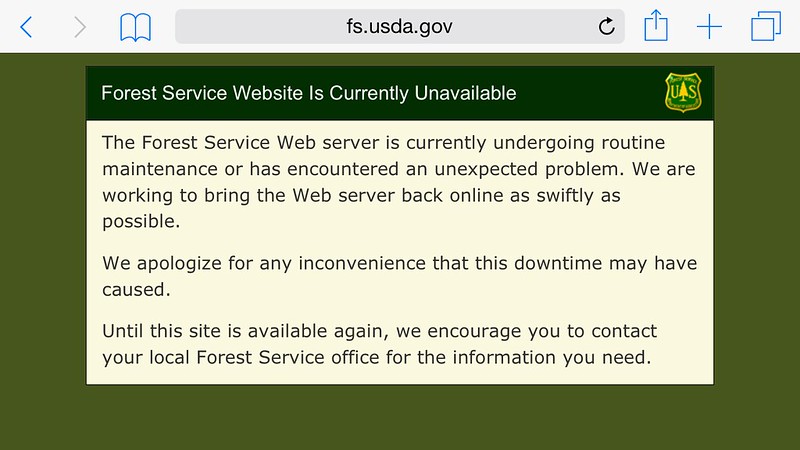
They forgot to add: “Ha ha! Joke’s on you! We don’t keep any offices or ranger stations open on weekends so if you want information right now you are SOL.”
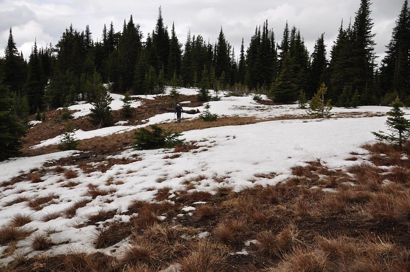
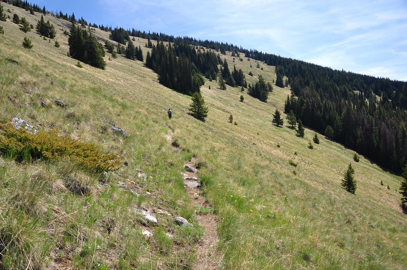
The Wapaloosie Mountain trail climbs up the east side of the Kettle Range and connects with the Kettle Crest Trail. I had hoped that the low snowpack and mild winter would mean that spring would have already arrived up here. I was wrong. The vegetation hadn’t leafed out yet.
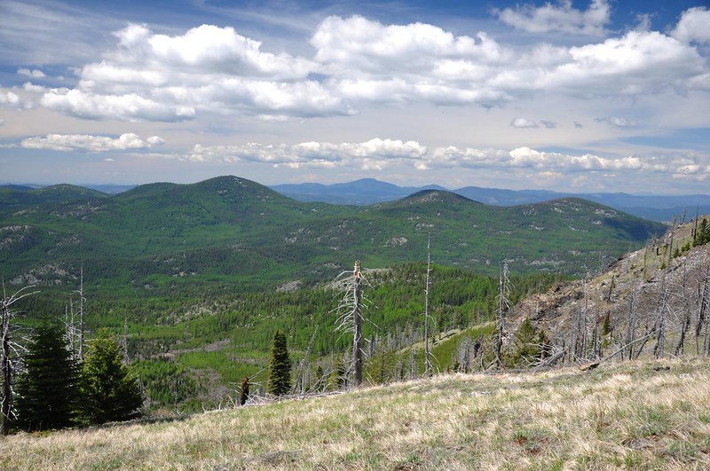
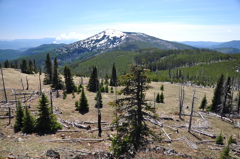
After about a mile and a half of steep and steady climbing we broke out into meadows, which were still mostly brown. The clouds that we were expecting yesterday hovered over us, but fortunately we still had some views. Looking east:

Looking south at White Mountain, Barnaby Buttes, Snow Mountain, and Bald Butte. The rounded peak in front of Bald Butte is Columbia Mountain.
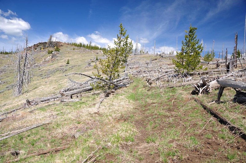
From the Kettle Crest Trail there is no path up to the summit of Wapaloosie, but it’s very easy to get there by heading cross-country. Looking back at the snowed-under trail junction:
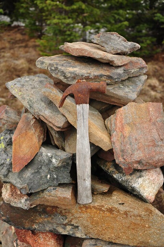
There’s a nice big summit cairn to let you know that you’ve arrived. (There was also trash to haul out, in the form of a liquor bottle.)

That is one rusty hammer! It seems unlikely, but maybe it dates back to the days when a crow’s nest lookout used to be here? (I didn’t even know about the crow’s nest until I got home, or I would have looked up in the trees to see if there were any remnants.)
There are no views from the summit, although you get a peek at some views a little ways off to the side.
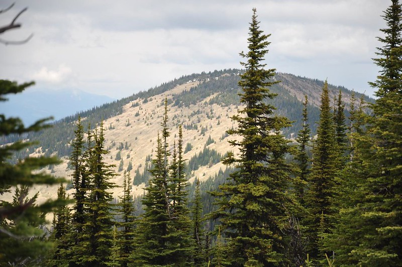
And we could see tomorrow’s destination: Copper Butte.
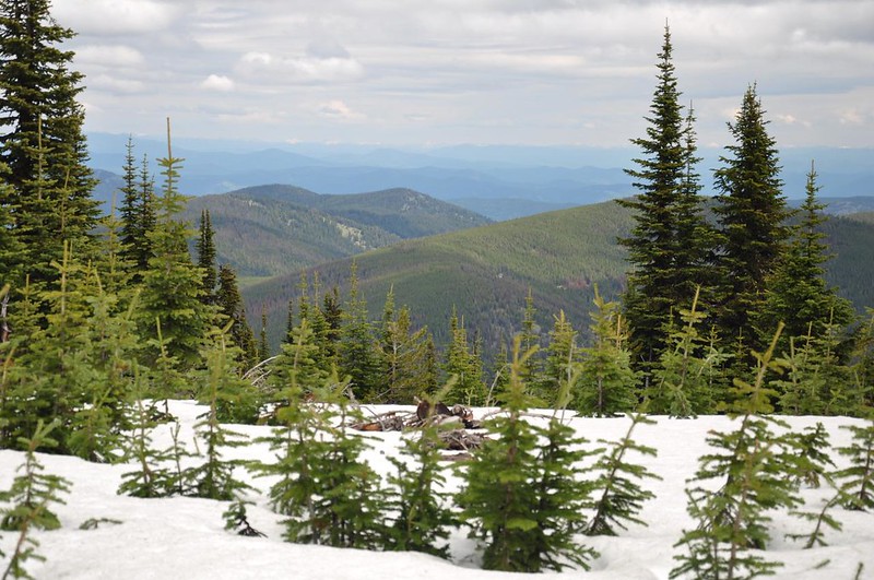
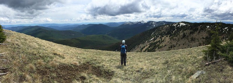
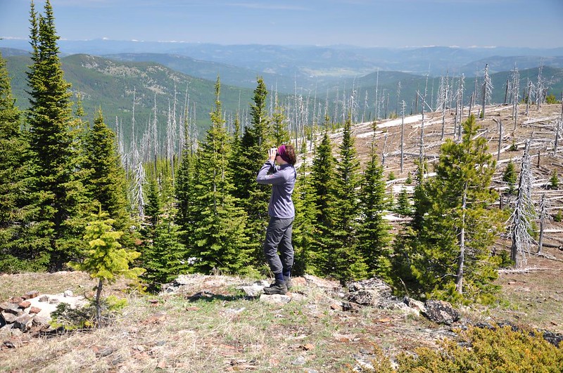
We lingered on the summit for a bit then headed back down. Here’s an iPhone pano shot of the view to the east and south from the meadows (where the best views are):
Back at the campsite that evening while I was sitting and reading, Deb went down to the dock to see if there was any wildlife to spot. The bachelor party had left that day, but there had been some day visitors, including a family that had left just a short while earlier. When Deb came back from the dock her hands were full of trash. “Here is your irony for the day,” she said. “The weekend-long bachelor party left a clean campsite but the family of four who came for the day to fish just left their trash sitting on the dock when they left.” I seriously wonder what goes through people’s heads when they do this.
Day 3: Copper Butte
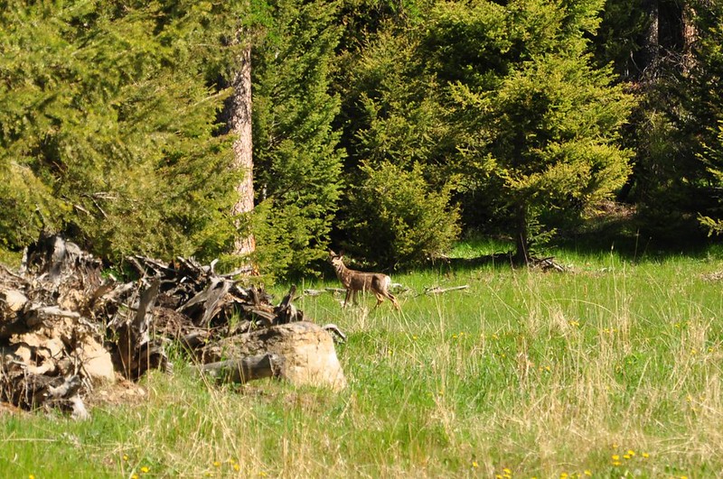
We decided to approach Copper Butte via the Marcus Trail, which is on the west side of the range, involving a longer drive for us since we were camped on the east side. Fortunately the previous day’s overcast skies were gone. We saw deer at the poorly-marked trailhead (they used a small trail sign instead of a road sign). We actually saw deer nearly every day of this trip.
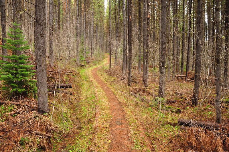
The trail starts off by following an old logging spur through the White Mountain burn of 1988. The trees are growing back VERY densely.

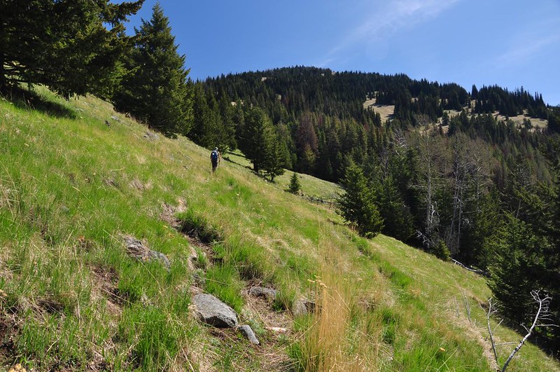
Then the trail emerges from the forest and traverses the meadowy north slopes of Copper Butte. This is open range, I’m sad to say, so there are cow trails everywhere. It’s a mess.
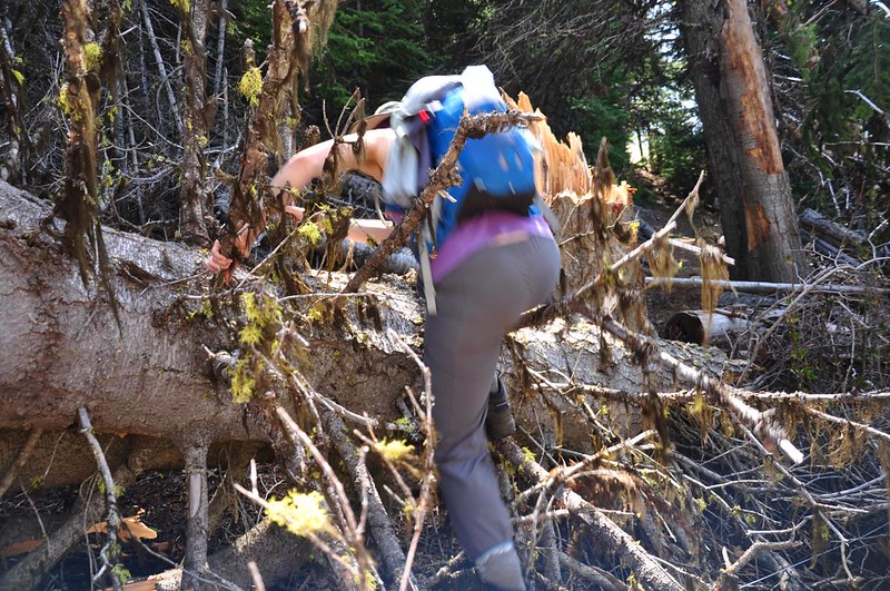
There was a tangle of downed trees near a spring. I did not clamber across this log nearly as gracefully as Deb did!
More meadows!
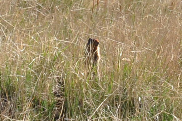
A zoomed-in cropped picture of….a prairie dog? Not sure.
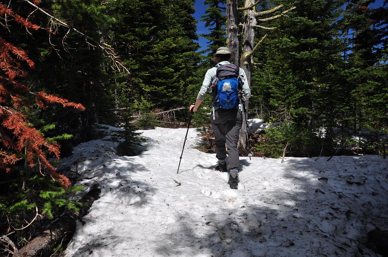
The trail meets up with the Kettle Crest Trail, which we followed up 1.5mi to the Copper Butte summit. Romano and Landers called this last stretch “easy” but we must define that word differently. Still lots of uphill to go! Then we encountered snow, unsurprisingly.
Mountains unfolding before us to the east:
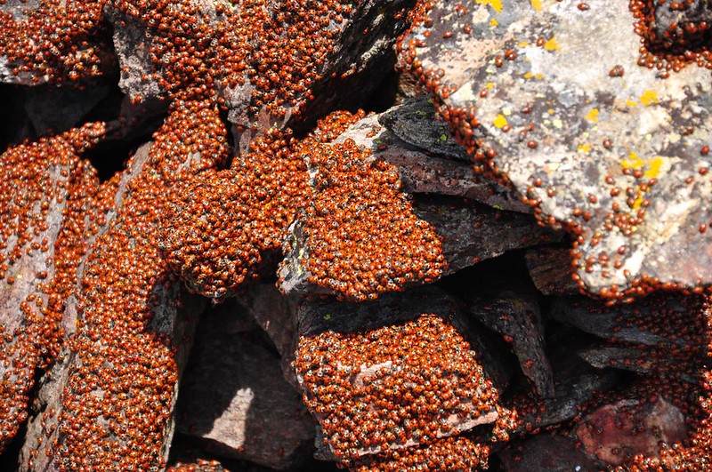
We made it! At 7,140′ Copper Butte is the tallest peak in the Kettle River Range.

The ladybugs had just come out of hibernation, evidently. There were THOUSANDS of them:
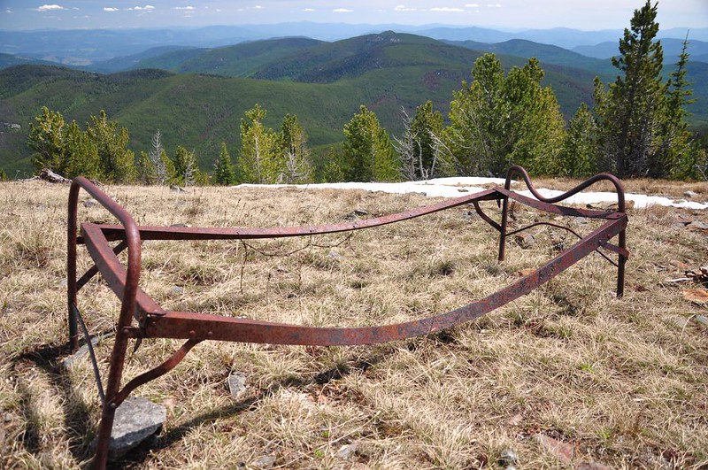
There was once a lookout here.
All that remains are some rusty artifacts and a bedframe:
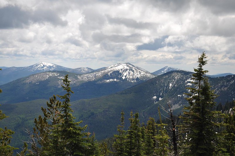
Snowy peaks to the south:

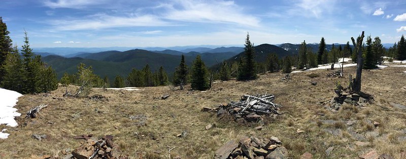
iPhone panorama:
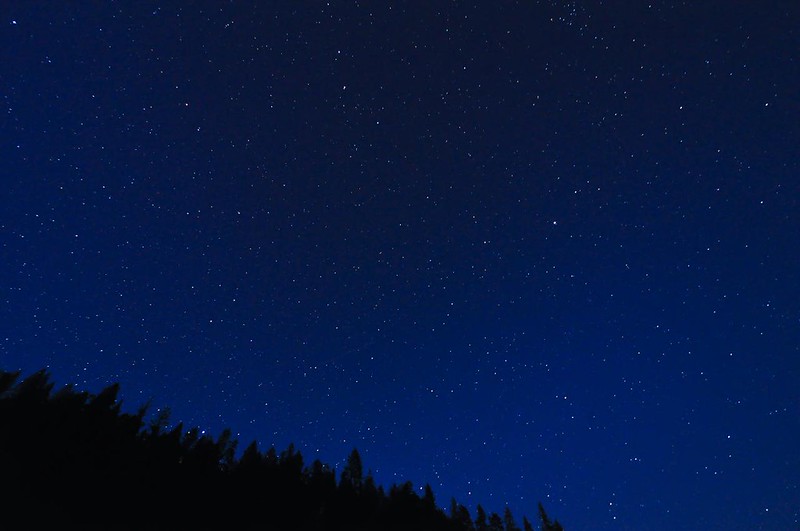
Back at camp that night we forced ourselves to stay up late enough to see the stars. The days are so long that we hadn’t been able to stay up on the previous nights. We went down to the dock and looked up, surrounded by millions of stars and a chorus of frogs. WOW.
Day 4: Barnaby Buttes
For our final hike we headed up to Barnaby Buttes. You hike up the old lookout access road to get there, which switchbacks up and up and up to the crest of the range. It’s forested and shady the whole way up until reaching the area burned in the 1988 White Mountain Fire:
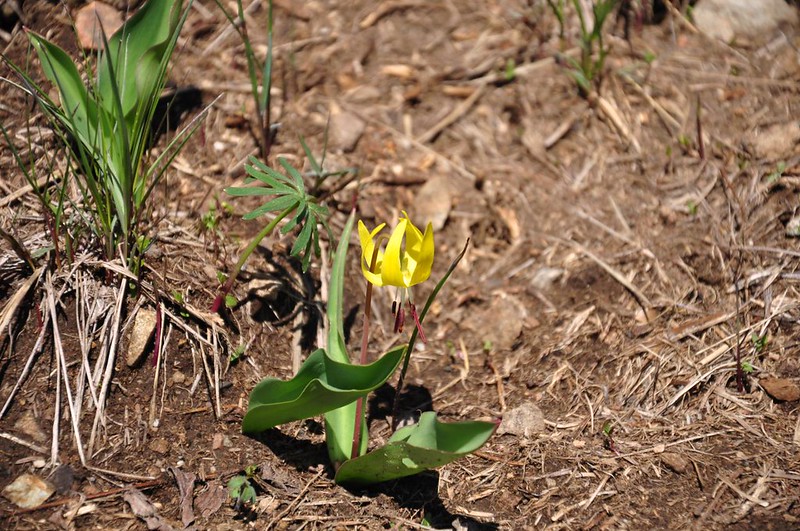
As with the other high-elevation hikes we had done, we were too early for the wildflower show, but did see a few glacier lilies (or are these avalanche lilies?):
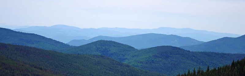
Rambling north along the Kettle Crest Trail we had some pretty nice views to the west:
Hiking through a sea of downed trees from the fire:
The trail skirts the base of the butte but doesn’t go up to the summit. The access road used to go all the way to the summit, but time and the fire have erased all traces of it so you pretty much have to go cross-country. There are definitely plenty of downed trees to navigate, but it didn’t turn out to be that bad, actually:

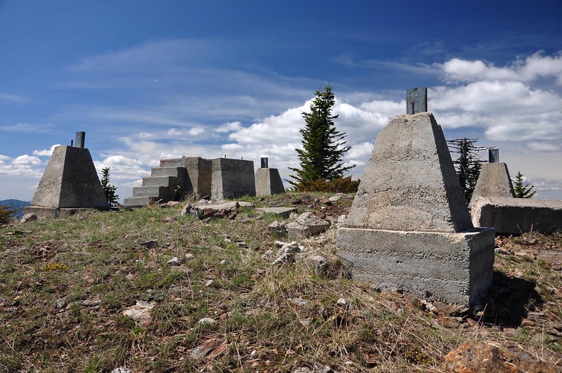
Up on the summit are the concrete footings and steps for the lookout tower that once stood here:
Looking south at White Mountain (we think the smoke on the left is from a mining or logging operation):
Looking north at Snow Peak and Sherman Peak:

We relaxed on the summit, soaking up the views and sunshine on our last hike. Except for the birds and a few insects, it was very quiet.
On the way down we spotted a bunch of empties just off the trail, so we flattened them and packed them out.

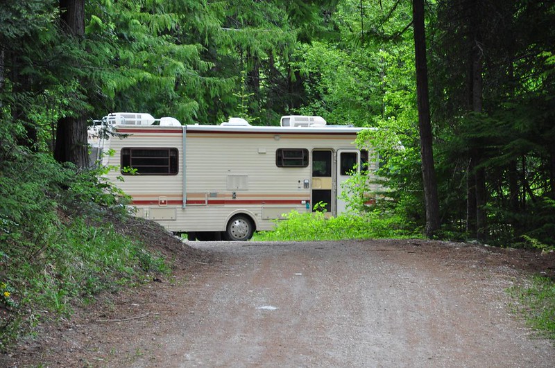
When we got back to the campground we were surprised to discover a big RV there. There is no room for RVs here, so they had parked in the day use parking.
We later met and talked with the couple and they were nice. They said they had been coming up here every summer since 1969! They had arrived early and were expecting the grandkids for the holiday weekend. When I asked the husband if the lake was stocked he said “Of course! There would be no reason for people to come up here otherwise.” I beg to differ: the scenery, nighttime frogs, bald eagles, osprey, and other birds are reason enough for me!
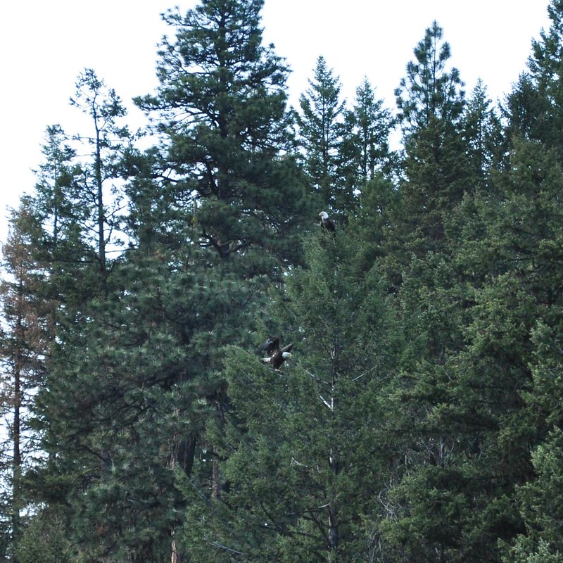
Speaking of which, we enjoyed watching two bald eagles at the lake Tuesday night and Wednesday morning. They were trying to chase off an osprey. Turf war! Here are the two eagles up in a tree, one of them about to land:
We reluctantly headed home Wednesday morning. We thoroughly enjoyed exploring this area. Except for Hoodoo Canyon we saw no other hikers on any of the trails. We were early in the season, but I get the sense that this area doesn’t see too many visitors even in summer. (Craig Romano wrote a good article about the area for WTA and mentions that this is the place to go for solitude: http://www.wta.org/magazine/1054.pdf). What a great trip!


