After doing the Serene Lake loop on Saturday, Greg and I checked another wish list hike off our list on Sunday: Fish Creek Mountain.
Before 1996 you could access the trailhead for this hike via Fish Creek Road and Road 5420. But all those roads in the Fish Creek drainage were removed after the floods and landslides that year. Now you can access a different trailhead on the other side of the divide via Road 4620. Trail Advocate has directions.
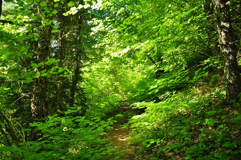
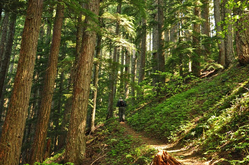
When we got out of the car it was 50 degrees and buggy. Fortunately that didn’t last. We encountered no mosquitoes on the whole hike. Phew! The first section of trail climbs right out of the gate, gaining 500 feet in 0.7mi. It’s quite pretty, though. There are tons of vine maple so this must be lovely in the fall.
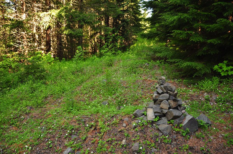
Then the trail comes out on what used to be Road 290, now incredibly overgrown. A handy rock cairn is here to help you find the trail again on the way back.
Fortunately there is a trail carved through the mess. Otherwise this would be a nightmare.
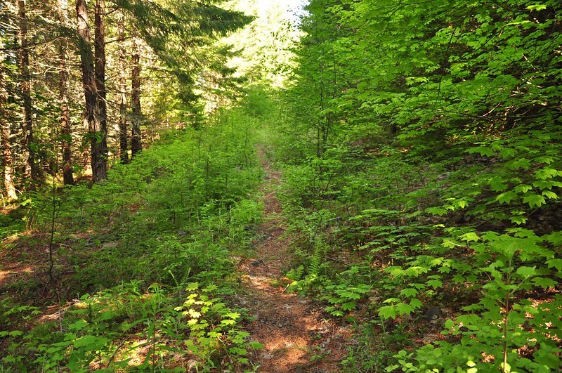
After 0.4mi the old road forks and the trail goes right up between them. This is where the old trailhead used to be prior to 1996.
The trail goes up, up, up through the trees.
We passed by a nice little meadow where some wildflowers were growing.
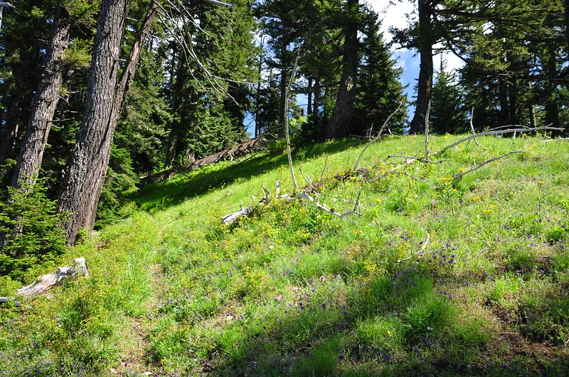
In fact, we were surprised by how many wildflowers we saw on this hike. Greg made a complete list: Sitka Valerian, Vanilla Leaf, Smith’s Fairybell, Inside-Out Flower, False Solomon Seal, Star-Flowered Solomon Seal, Oregon Grape, Yellow Violet, Wild Strawberry, Red Flowering Currant, Indian Paintbrush, Penstemon, Vanilla Leaf, Smith’s Fairybell, Spring Beauty, Oregon Fawn Lily, Larkspur, Small-Flowered Blue-Eyed Mary, Arrowleaf Groundsel, Indian Paintbrush, and Prairie Star. We also saw plenty of Western Columbine, but it wasn’t blooming just yet. WOW!
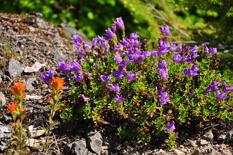
Here’s penstemon:
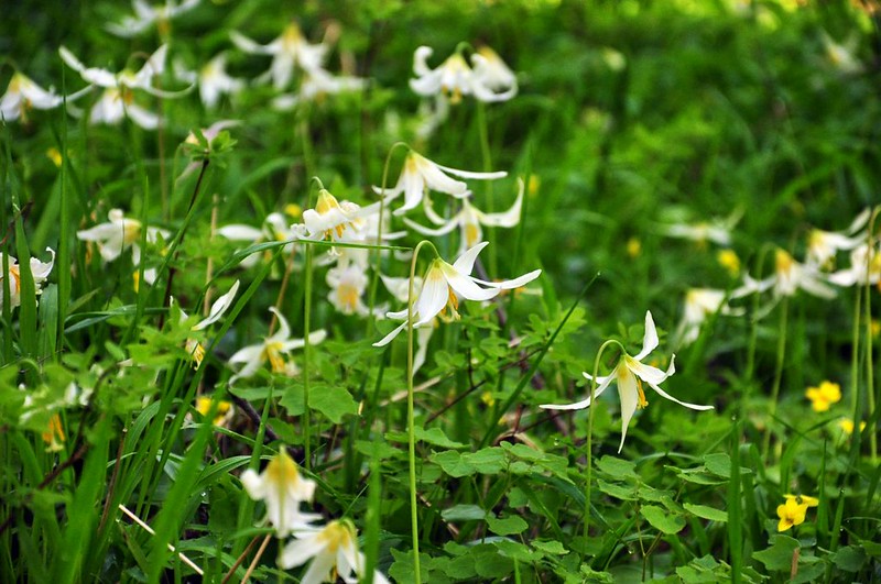
And fawn lillies:
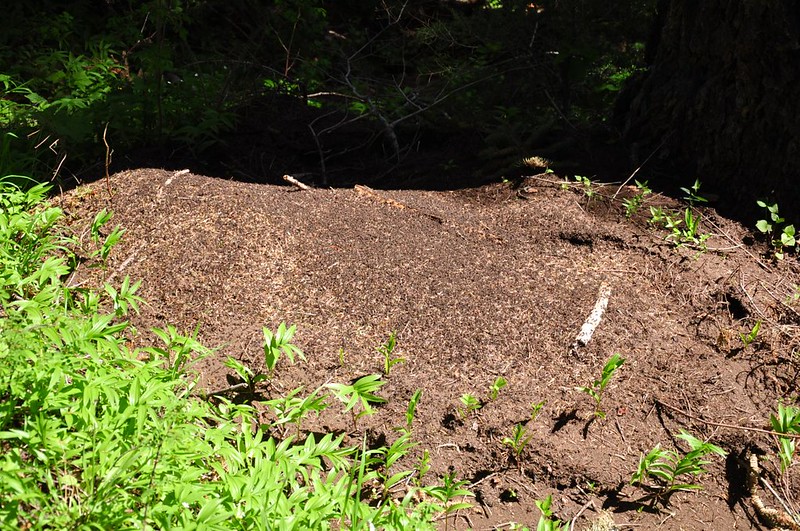
We saw AT LEAST a dozen active ant hills along the trail. I have never seen so many ant hills on one hike before. Crazy!
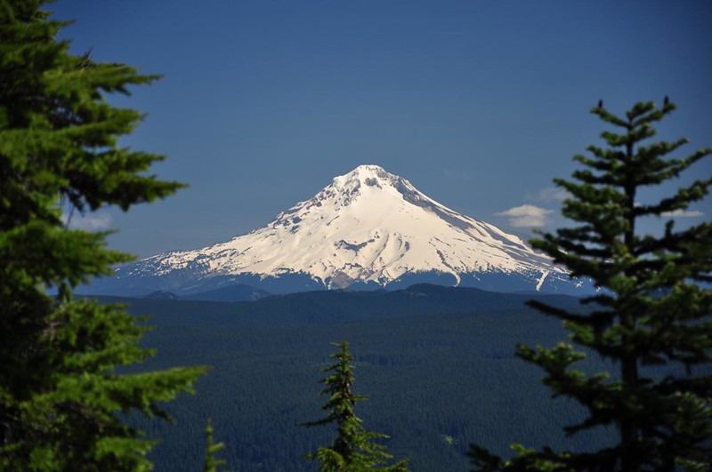
At one point there was a really short side trail to the right that led to a rock garden of flowers and a view of Mt. Jefferson through the trees.
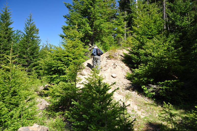
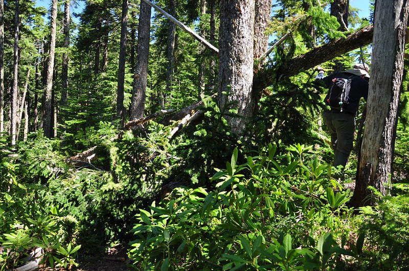
There wasn’t a ton of blowdown, but we still navigated over and under plenty of fallen trees. This was the worst. In bushwhacking around this mess Greg cut his leg on a broken branch that was sticking out. Ouch.
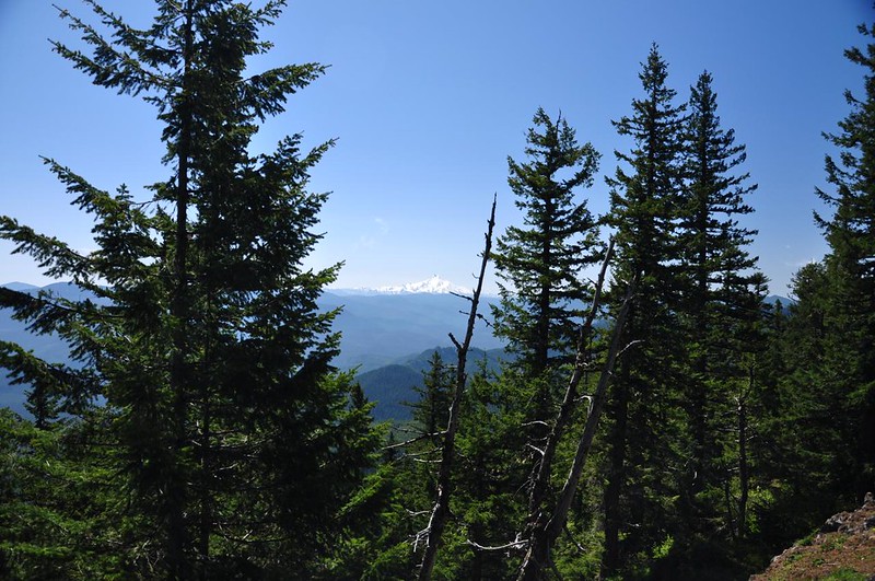
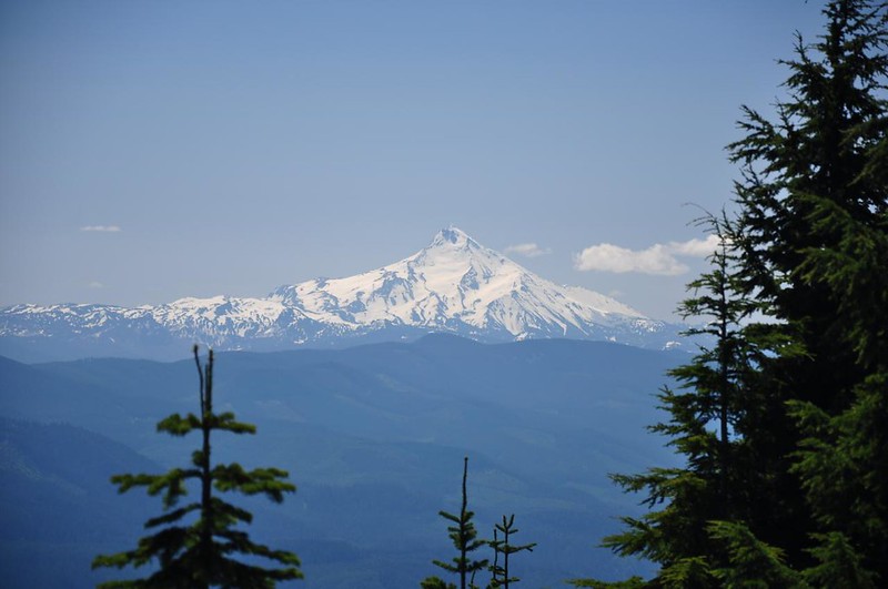
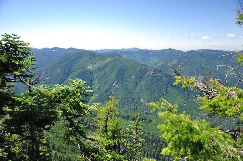
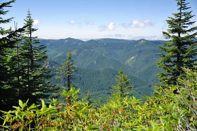
We knew there were no views of Mt. Hood from the summit, so we enjoyed the peeks we got through the trees on the way up.
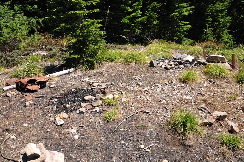
There was a 12-foot-tall lookout tower here from 1933 to 1967. But the summit is now quite overgrown and views are very limited.
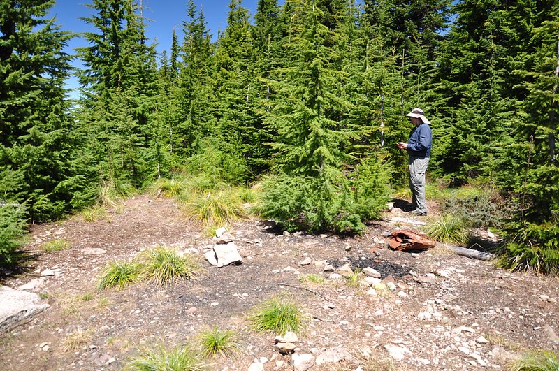
The only peak we could see from the summit was Mt. Jefferson.
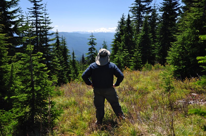
Looking west into the now-roadless Fish Creek drainage. The whole time we were up on the summit we could hear target shooters down there. UGH.
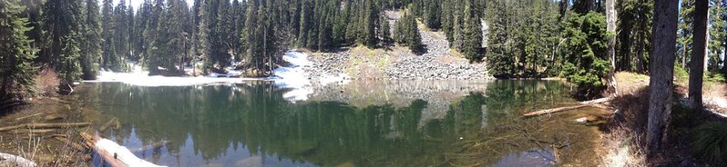
After leaving the summit we took the trail down to High Lake. There was copious amounts of snow on the lower part of the trail, and when we got to the lake we were surprised to discover that it hadn’t even fully thawed out yet!
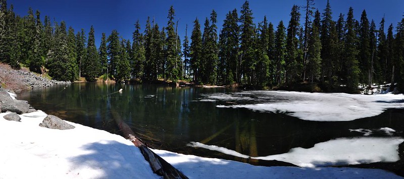
I was DONE with the snow, but Greg made his way around to the other side of the lake and took this panorama photo on his iPod Touch.
Navigating back up the trail through the snow was no more fun than coming down had been, but we managed. Then it was an easy downhill hike back to the car. We didn’t see a single person the whole day. I suspect that because there are no jaw-dropping 360-degree views at the summit this hike doesn’t get much attention. But there are views along the way if you look for them, and the many different wildflowers were sure a pleasant surprise. High Lake would also be a worthy destination later in summer (once the bugs have come and gone). Two thumbs up!


